Signs Tagged With Overhead
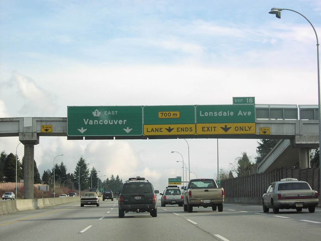
TC-1 East - Exit 18
TC-1 East at Exit 18, Lonsdale Ave., and TC-1 East Overhead.
Taken 01-01-2004
 North Vancouver
Metro Vancouver
British Columbia
Canada
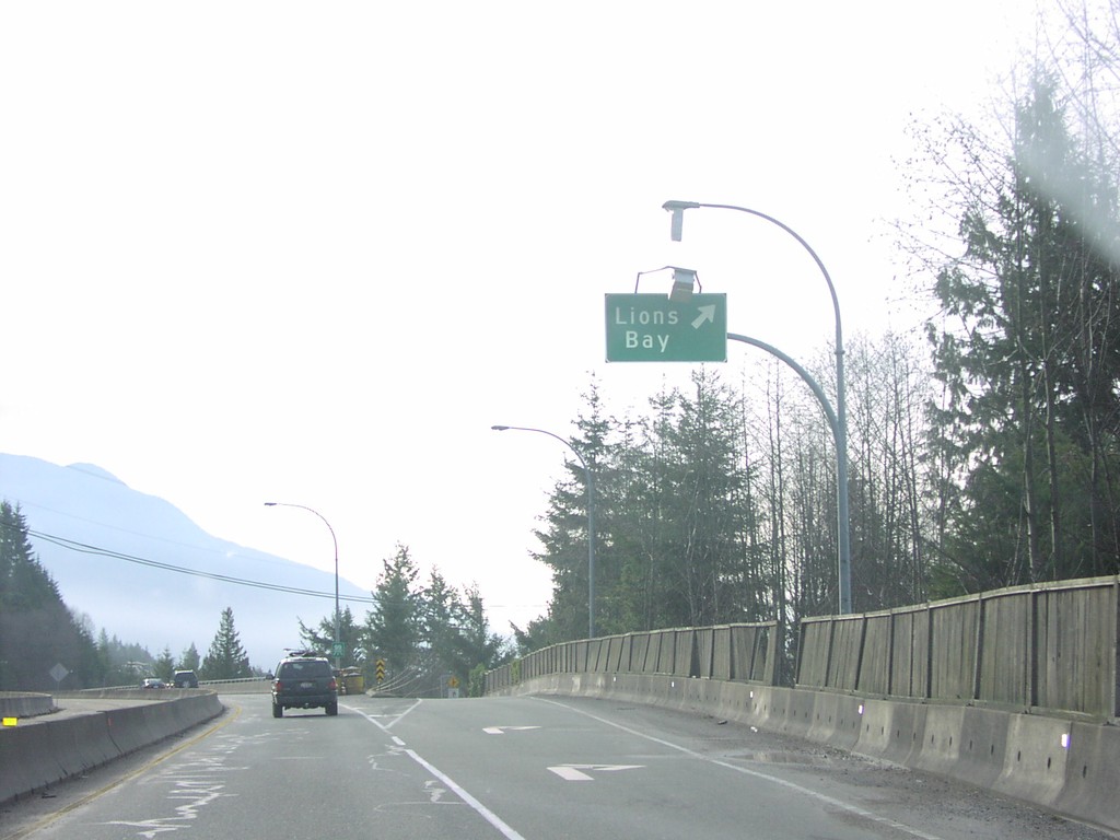
BC-99 South - Lions Bay Exit
BC-99 South at Lions Bay Exit
Taken 01-01-2004
 Lions Bay
Metro Vancouver
British Columbia
Canada
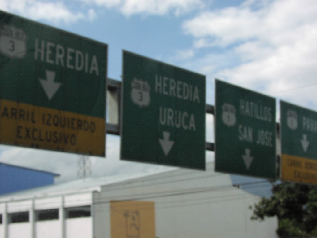
CR-1 South at CR-3
CR-1 south at CR-3 north to Uruca and Heredia
Taken 09-23-2003

 San José
 Province
Costa Rica
San José
San José Province
Costa Rica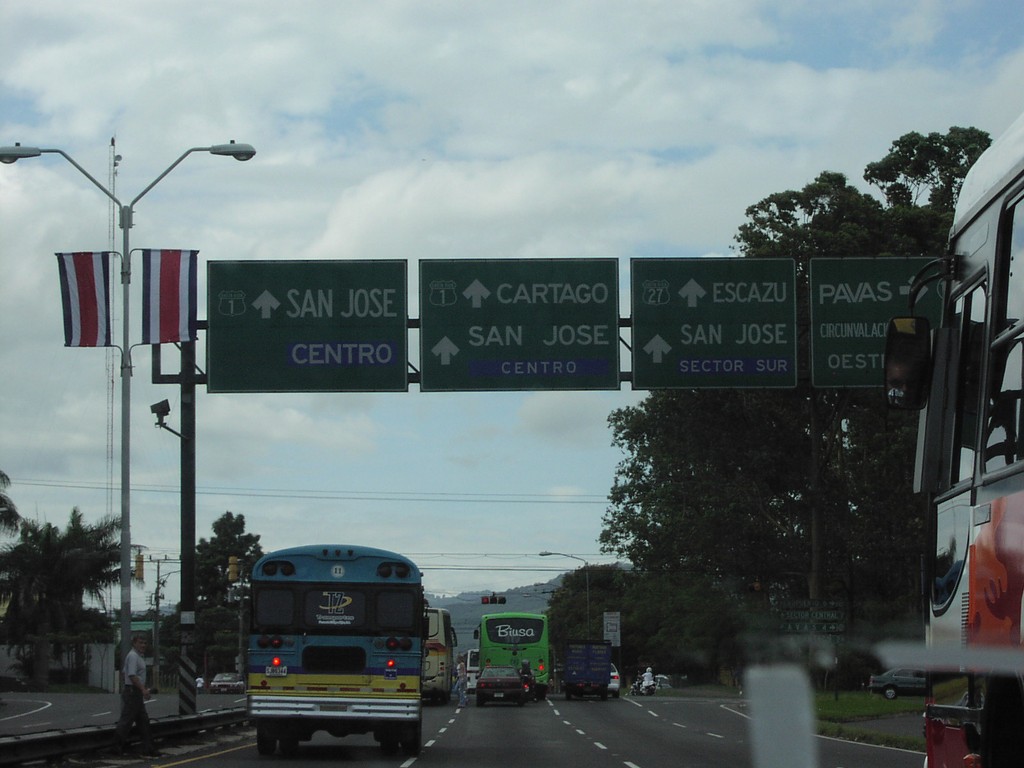
CR-1 South Approaching CR-27
CR-1 south approaching CR-27 to Escazu
Taken 09-23-2003

 San José
 Province
Costa Rica
San José
San José Province
Costa Rica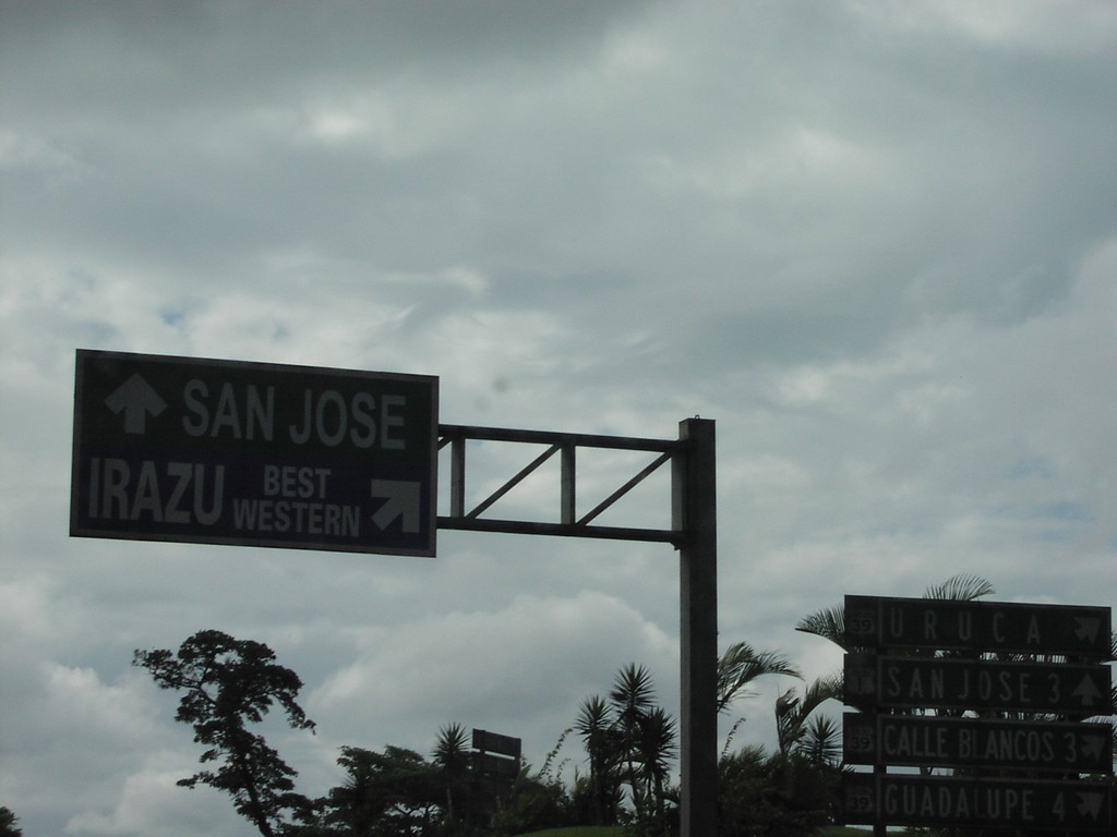
Costa Rica 1 South at Costa Rica 39
Sign to Irazu Best Western, and San Jose
Taken 09-23-2003

 San José
 Province
Costa Rica
San José
San José Province
Costa Rica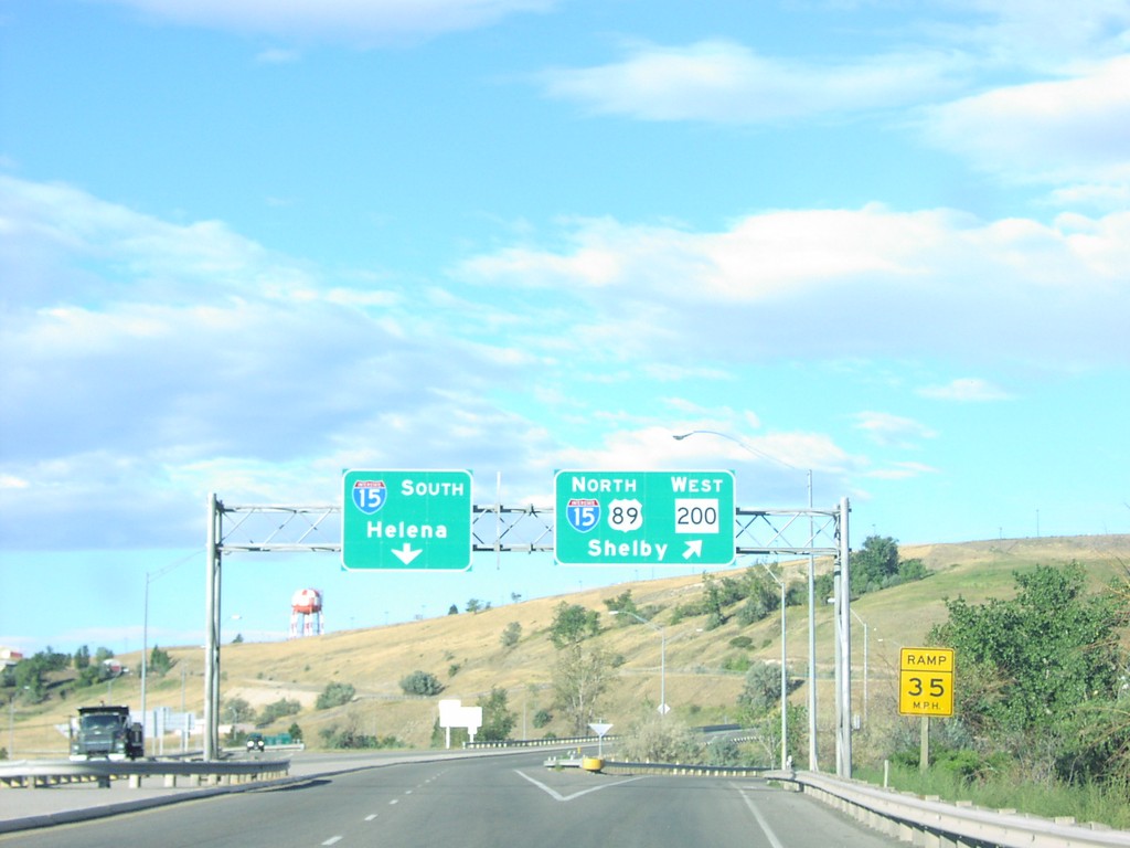
US-89 North/MT-200 West at I-15
I-15/US-89/MT-200 Overhead on US-89 North at I-15 Junction
Taken 09-01-2003


 Great Falls
Cascade County
Montana
United States
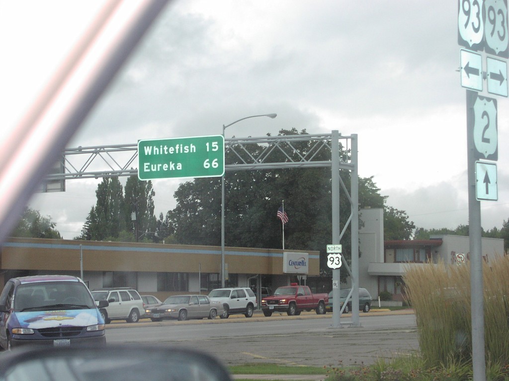
US-2 West at US-93
US-93 North to Whitefish and Eureka at US-93/US-2 Junction
Taken 09-01-2003

 Kalispell
Flathead County
Montana
United States
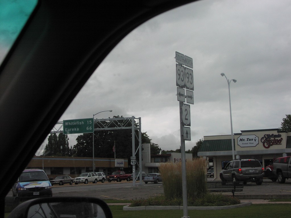
US-2 West at US-93
US-2/US-93 Junction on US-2 East
Taken 09-01-2003

 Kalispell
Flathead County
Montana
United States
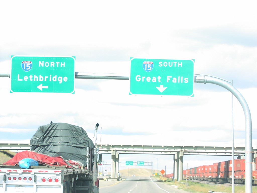
US-2 West at I-15 to Great Falls and Lethbridge
I-15 Overhead to Great Falls and Lethbridge
Taken 09-01-2003


 Shelby
Toole County
Montana
United States
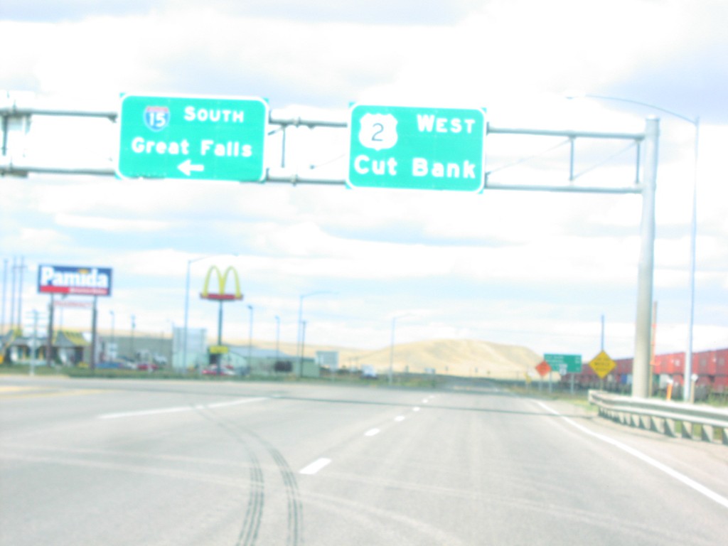
US-2 West at I-15 South to Great Falls
I-15/US-2 Overhead To Great Falls and Cut Bank on US-2 West
Taken 09-01-2003


 Shelby
Toole County
Montana
United States
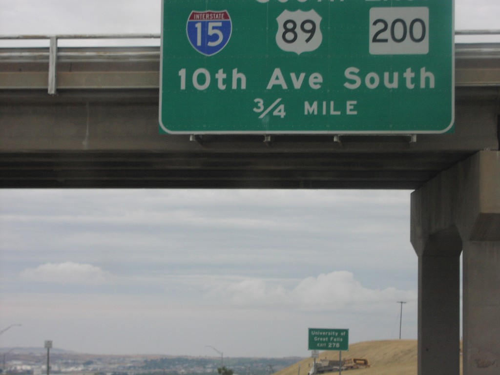
I-15 North Exit 278
BL-15/US-89/MT-200/10th Ave. West Exit on I-15 North
Taken 09-01-2003


 Great Falls
Cascade County
Montana
United States
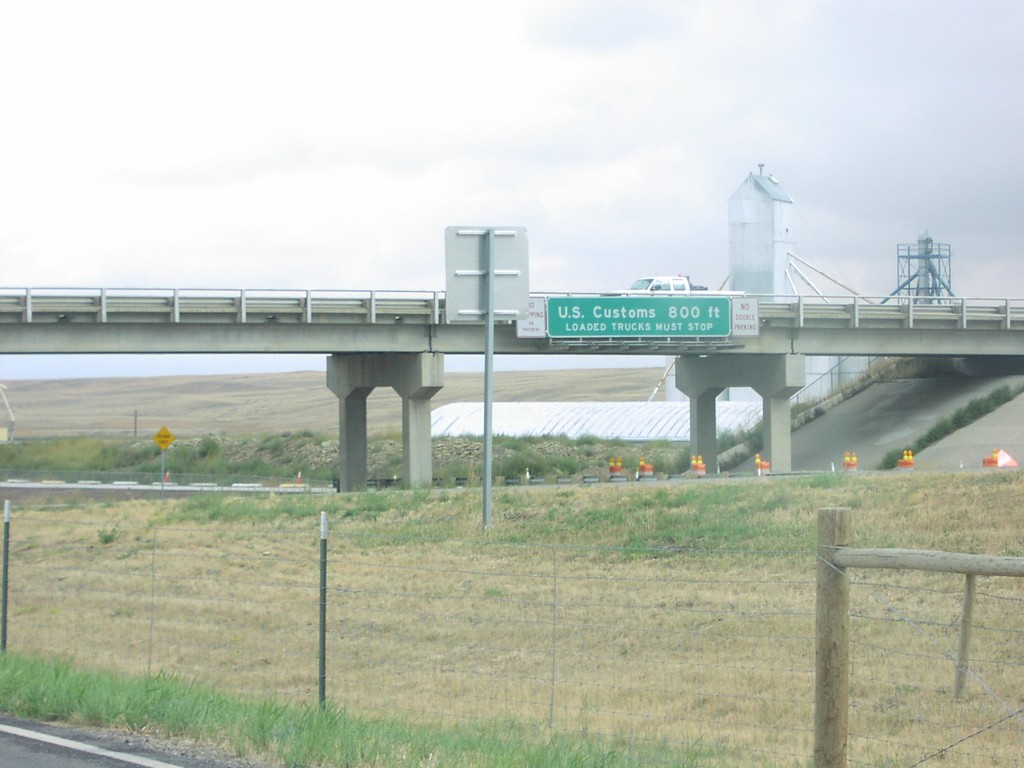
I-15 North Approaching US Customs
US Customs 800 Feet on I-15 North
Taken 09-01-2003
 Sweet Grass
Toole County
Montana
United States
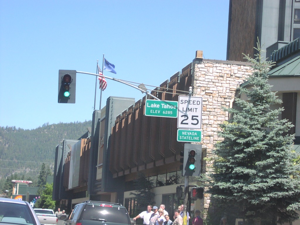
US-50 East - Nevada State Line
US-50 east at the California-Nevada state line.
Taken 08-01-2003
 Stateline
Douglas County
Nevada
United States
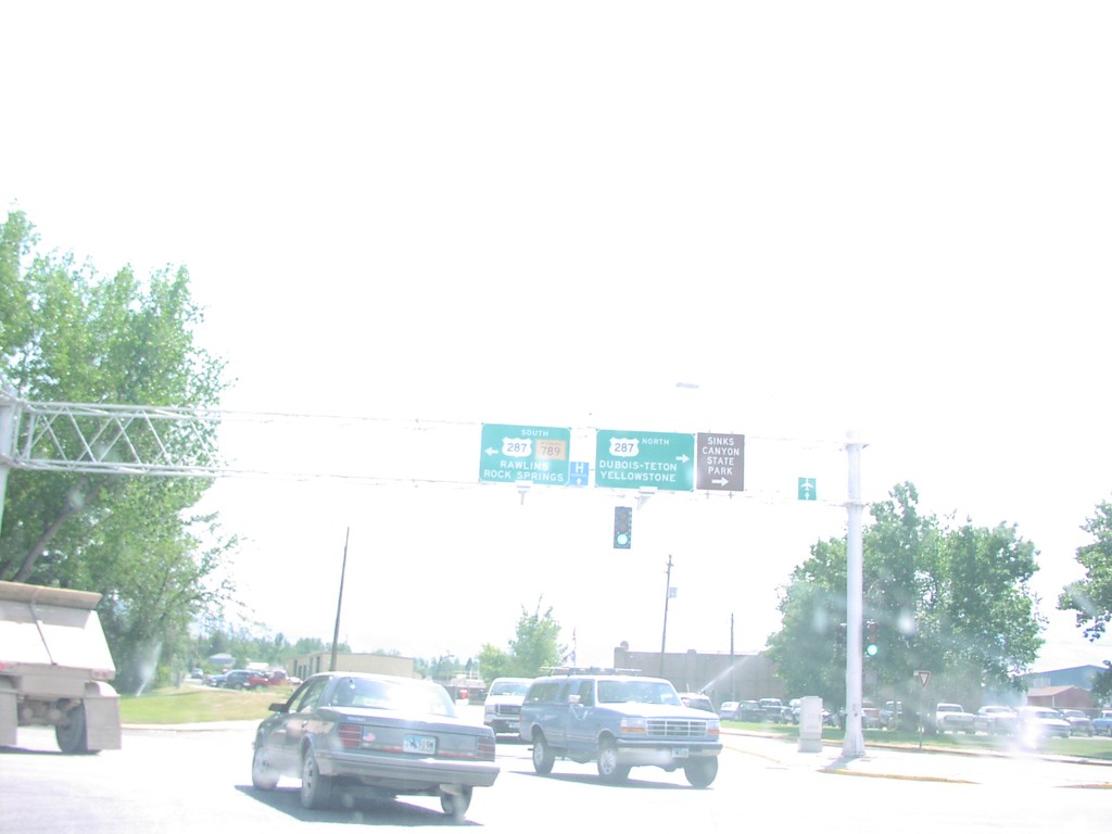
WY-789 South at US-287
US-287/WY-789 Overheads To Rawlins and Yellowstone
Taken 07-01-2003
 Lander
Fremont County
Wyoming
United States
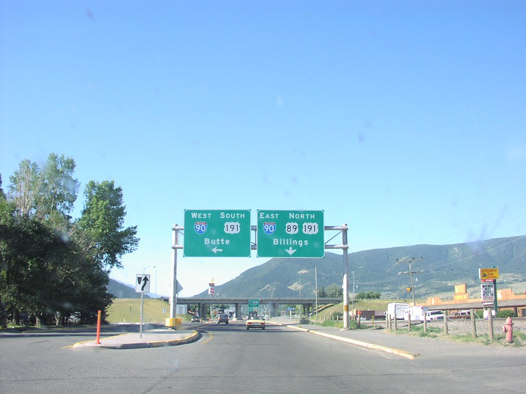
US-89 North at I-90
BL-90 at I-90/US-89/US-191 Junction To Butte and Billings
Taken 07-01-2003


 Livingston
Park County
Montana
United States
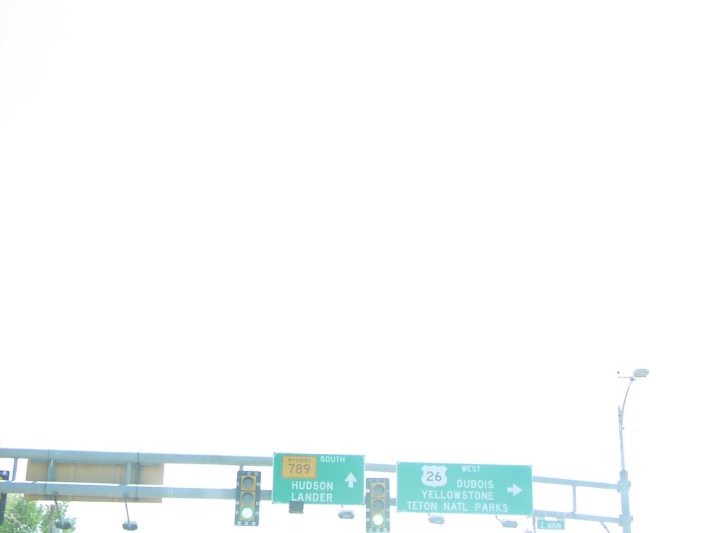
US-26 West at WY-789
US-26/WY-789 Junction To Lander and Dubois on WY-789 South
Taken 07-01-2003

 Riverton
Fremont County
Wyoming
United States
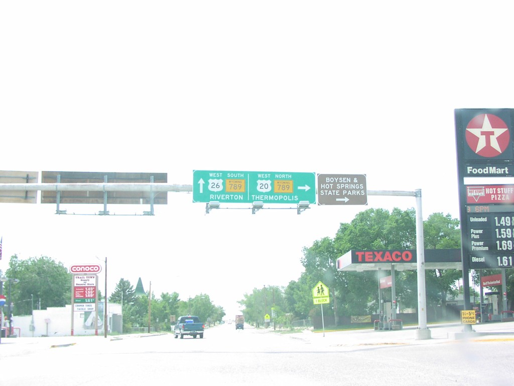
US-20/US-26 West at WY-789
US-20/US-26 West at WY-789 in Shoshoni. Turn right for US-20 West/WY-789 North to Thermopolis. Continue straight for US-26 East/WY-789 South to Riverton.
Taken 07-01-2003


 Shoshoni
Fremont County
Wyoming
United States
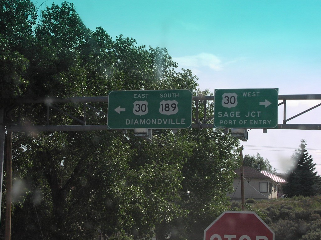
US-189 South at US-30
US-30/US-189 Junction on US-189 South
Taken 07-01-2003
 Kemmerer
Lincoln County
Wyoming
United States
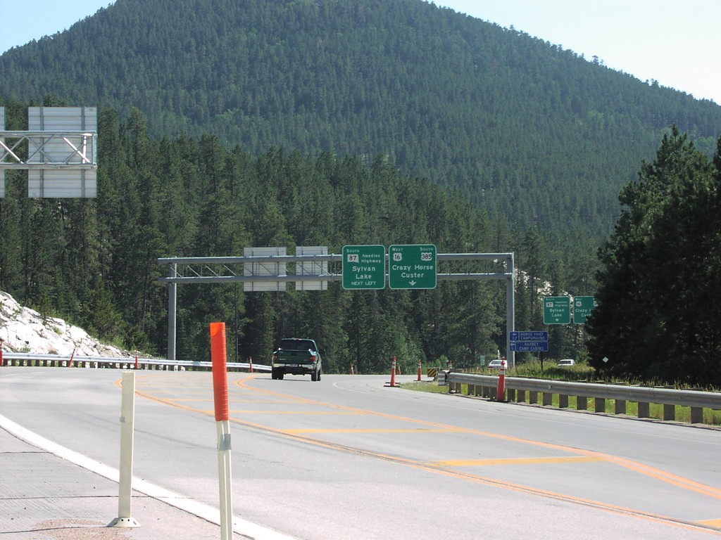
US-16/US-385 South at SD-87
SD-87/Needles Highway Junction on US-385/US-16 South
Taken 07-01-2003


 Custer
Pennington County
South Dakota
United States
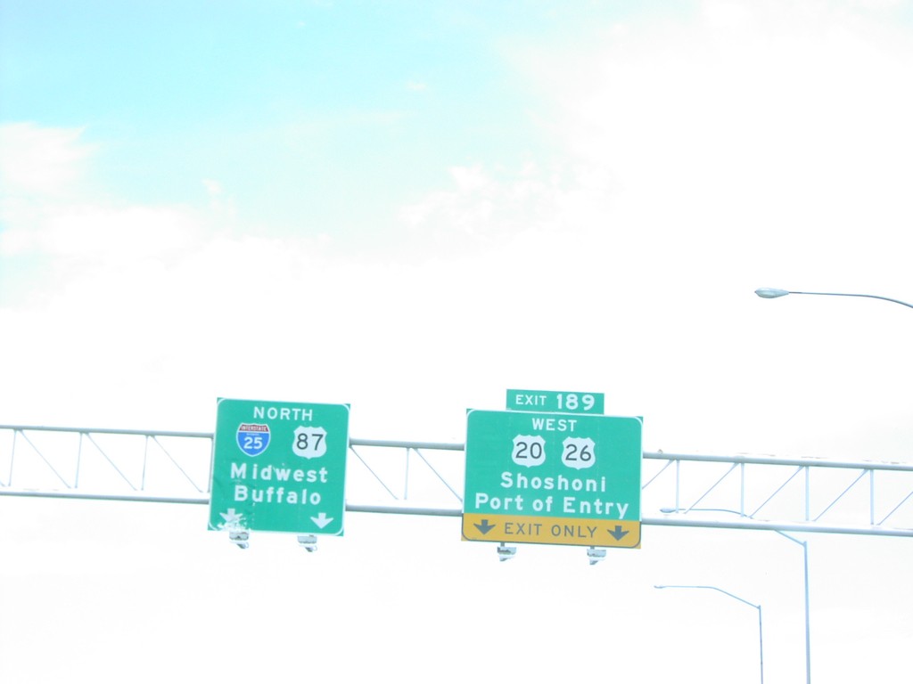
I-25 North Exit 189
US-20/US-26/Shoshoni/Port of Entry Exit on I-25 North
Taken 07-01-2003


 Casper
Natrona County
Wyoming
United States
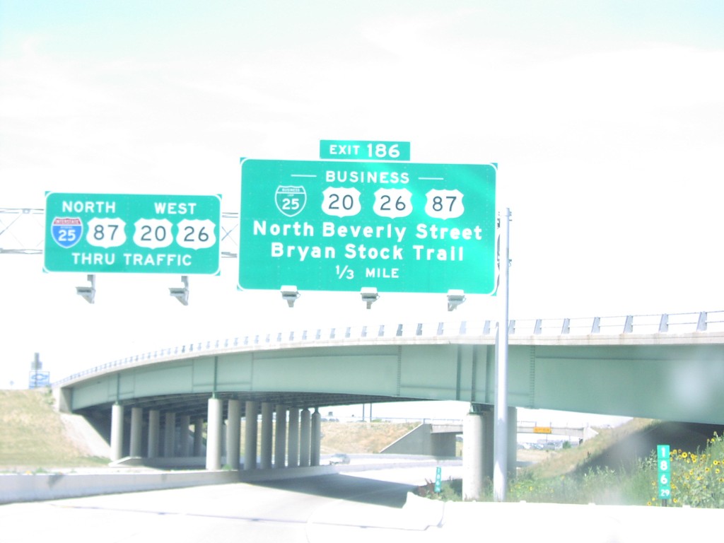
I-25 North Exit 186
BL-25/BL US-20/BL US-26/BL US-87/Beverly St./Bryan Stock Trail Exit on I-25 North
Taken 07-01-2003


 Casper
Natrona County
Wyoming
United States
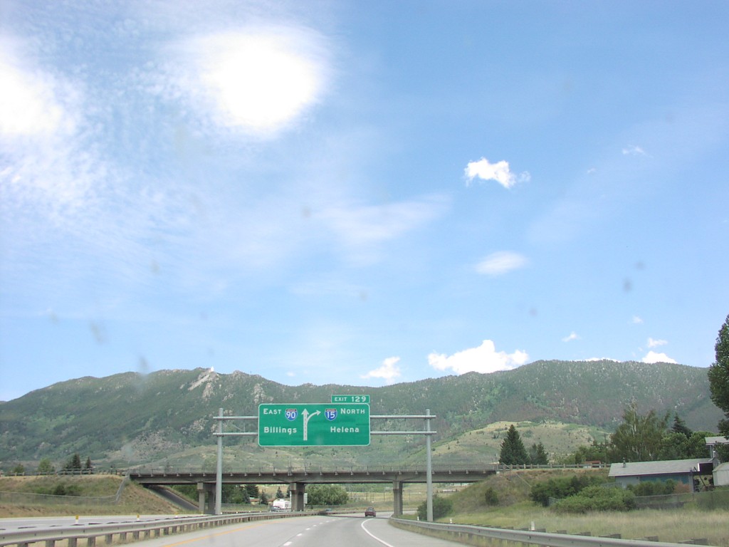
I-15 North Exit 129, I-90 Jct.
Approaching I-90 East at I-15 North Junction To Helena
Taken 07-01-2003

 Butte
Silver Bow County
Montana
United States
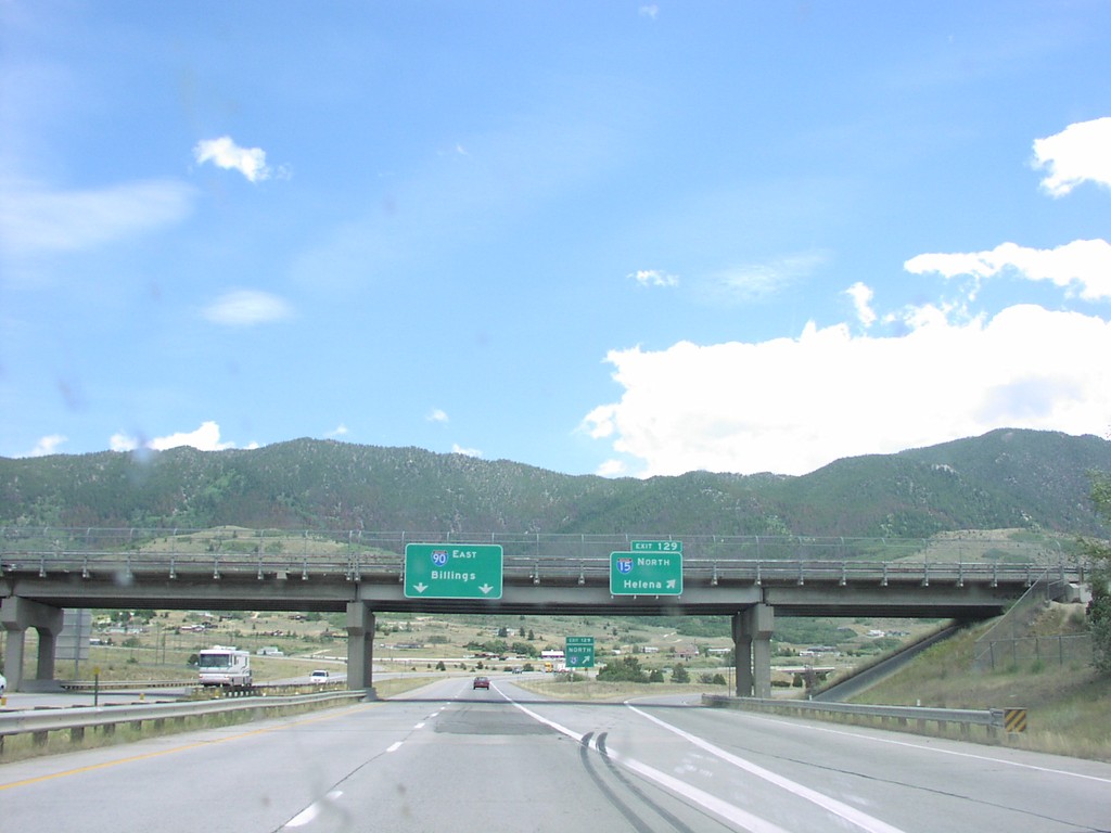
I-15 North Exit 129, I-90 Jct.
I-90 East at I-15 North Junction To Helena
Taken 07-01-2003

 Butte
Silver Bow County
Montana
United States
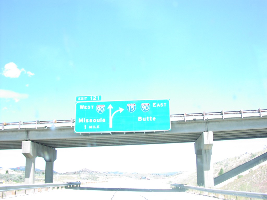
I-15 North Exit 121, I-90 Jct.
I-15 North at I-15/I-90 Junction To Butte and Missoula, Silver Bow County
Taken 07-01-2003

 Butte
Silver Bow County
Montana
United States
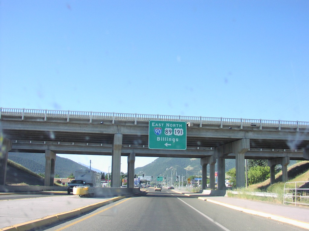
BL-90 West at I-90/US-89/US-191 Jct.
US-89 at I-90/US-191 Junction To Butte
Taken 07-01-2003
 Livingston
Park County
Montana
United States