Signs Tagged With Overhead
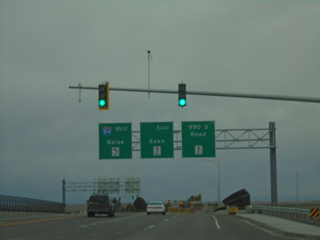
ID-50 East at I-84 (Exit 182)
ID-50 East at I-84 (Exit 182). Turn left for I-84 West to Boise; continue straight for (ID-50 East) to Eden and 990 South Road.
Taken 10-25-2025

 Eden
Jerome County
Idaho
United States
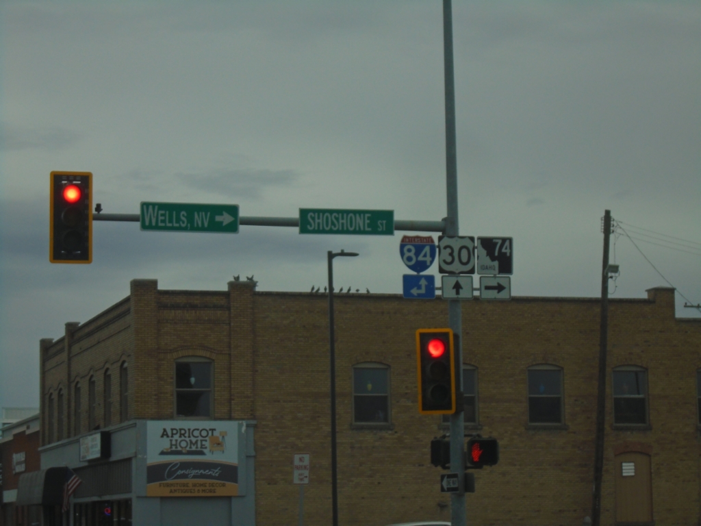
US-30 East at ID-74 - Twin Falls
US-30 East at ID-74 in Twin Falls. Turn right on Shoshone St. for ID-74 South to Wells, Nev. Continue straight on US-30 or north on Shoshone St. for I-84 access.
Taken 10-25-2025


 Twin Falls
 County
Idaho
United States
Twin Falls
Twin Falls County
Idaho
United States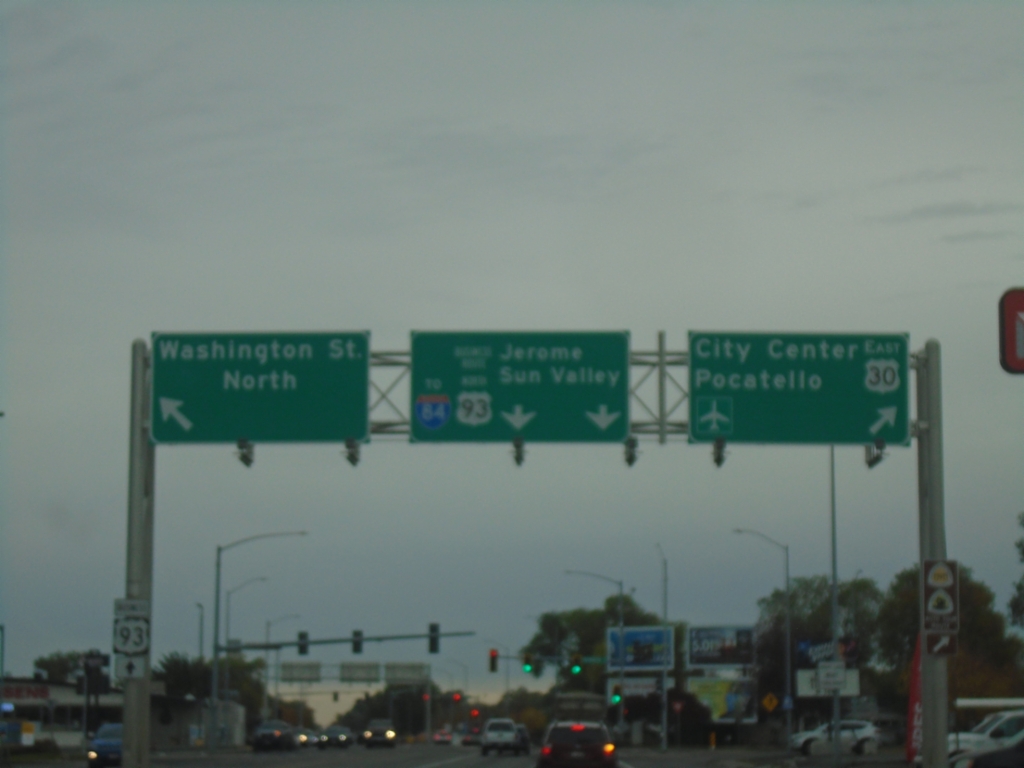
US-30 East/Bus. US-93 North Split - Twin Falls
US-30 East/Bus. US-93 North Split in Twin Falls. Turn right to continue east on US-30 to (Twin Falls) City Center and Pocatello. Continue straight for Bus. US-93/To I-84/Jerome/Sun Valley. Turn left for Washington St. North.
Taken 10-25-2025


 Twin Falls
 County
Idaho
United States
Twin Falls
Twin Falls County
Idaho
United States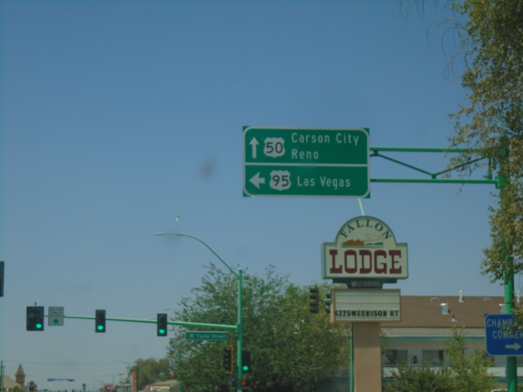
US-50 West/US-95 South at US-50/US-95 Split
US-50 West/US-95 South at US-50/US-95 Split in Fallon. Use US-50 West to Carson City and Reno; US-95 South to Las Vegas.
Taken 07-20-2025

 Fallon
Churchill County
Nevada
United States
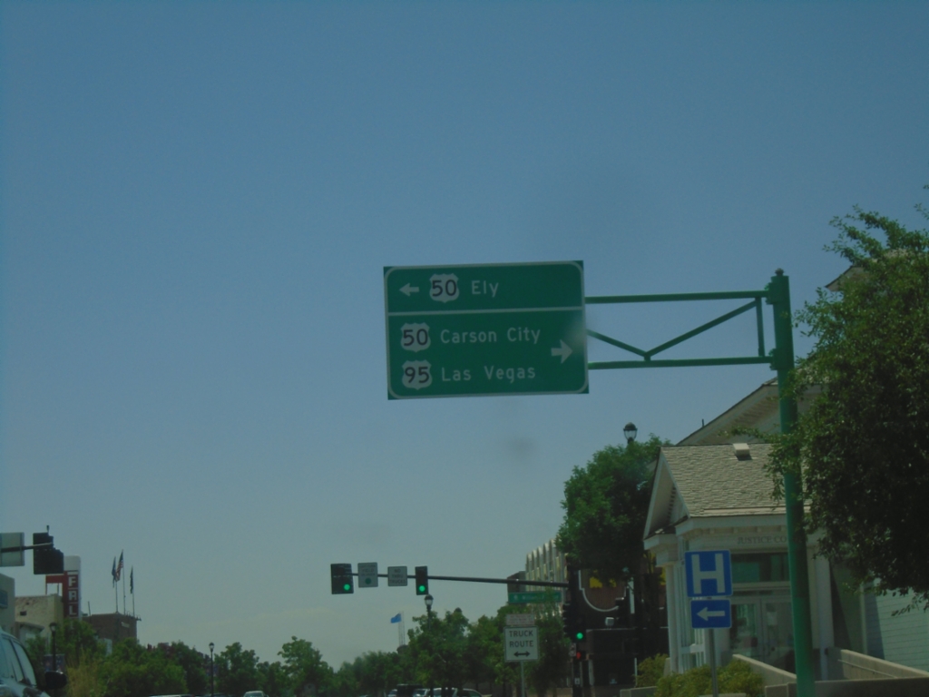
US-95 South at US-50
US-95 South at US-50 in Fallon. Use US-50 East to Ely. Turn right for US-50 West to Carson City and US-95 South to Las Vegas.
Taken 07-20-2025

 Fallon
Churchill County
Nevada
United States
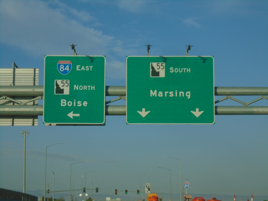
Karcher Road West Approaching I-84 East/ID-55 North
Karcher Road West approaching I-84 East/ID-55 North (Exit 33) to Boise. Continue west on ID-55 for Marsing.
Taken 07-20-2025


 Nampa
Canyon County
Idaho
United States
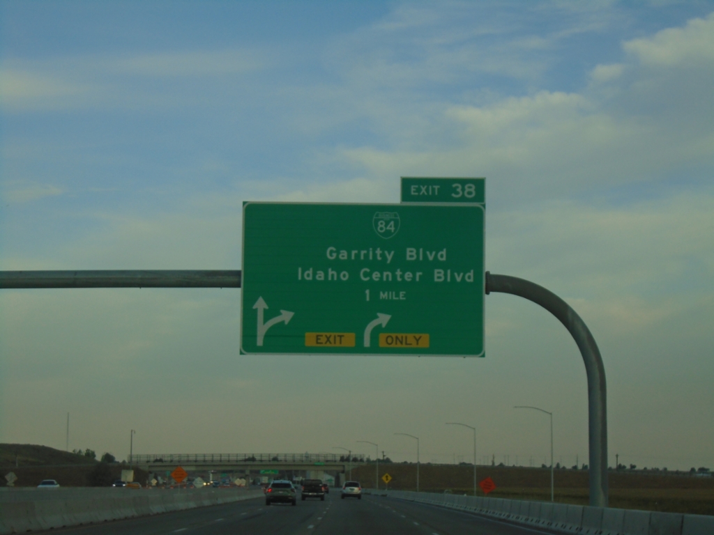
I-84 West - Exit 38
I-84/US-30 west at Exit 38 - BL-84/Garrity Blvd./Idaho Center Blvd.
Taken 07-20-2025


 Nampa
Canyon County
Idaho
United States
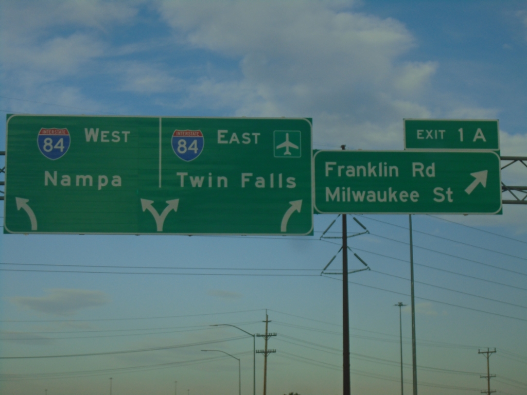
I-184 West - Exit 1A
I-184 west at Exit 1A - Franklin Road/Milwaukee St.. Approaching I-84 to Nampa and Twin Falls.
Taken 07-20-2025


 Boise
Ada County
Idaho
United States
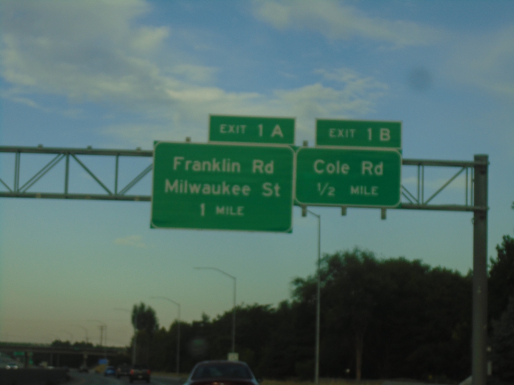
I-184 West - Exits 1B and 1A
I-184 west approaching Exit 1B - Cole Road. Approaching Exit 1A - Franklin Road/Milwaukee St.
Taken 07-20-2025
 Boise
Ada County
Idaho
United States
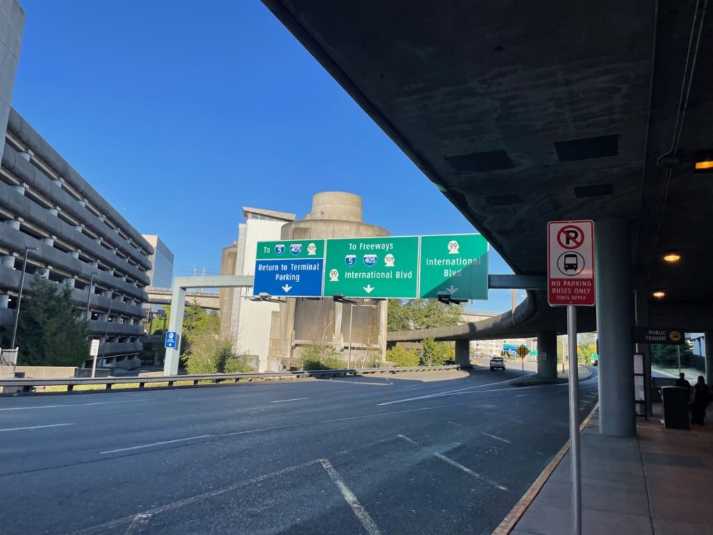
SeaTac Airport Arrivals Road At Airport Expressway
SeaTac Airport Arrivals Road at Airport Expressway to I-5/I-405/WA-509 Freeways and Return to Terminal/Parking. Use right lanes for WA-99/International Blvd.
Taken 07-16-2025


 SeaTac
King County
Washington
United States
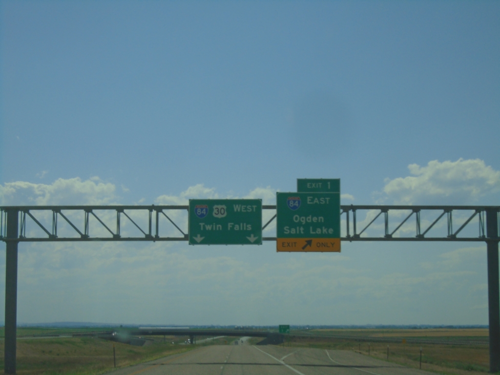
I-86 West - Exit 1
End I-86 West at I-84. Use Exit 1 for I-84 East/Ogden (UT)/Salt Lake(UT). Continue straight for I-84/US-30 West to Twin Falls.
Taken 07-04-2025


 Declo
Cassia County
Idaho
United States
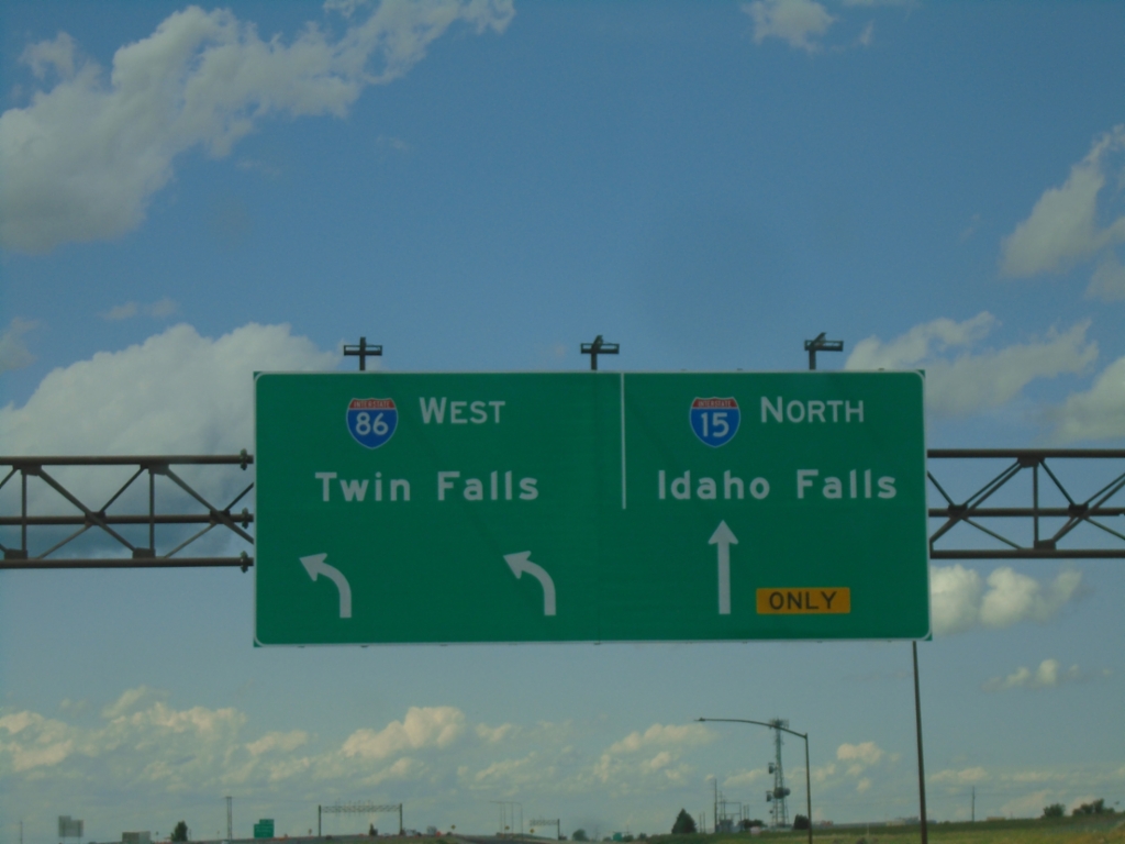
I-15 North at I-86 West
I-15 North at I-86 West to Twin Falls. Continue north on I-15 to Idaho Falls.
Taken 07-04-2025

 Pocatello
Bannock County
Idaho
United States
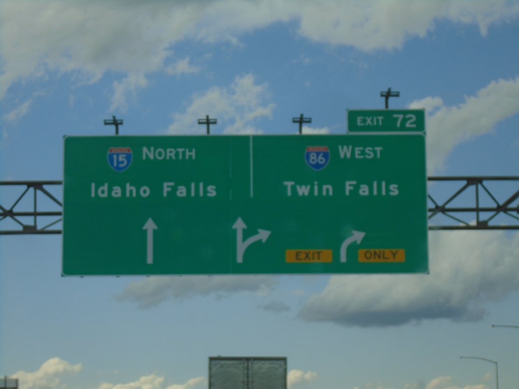
I-15 North at Exit 72
I-15 north at Exit 72 - I-86 West/Twin Falls. Continue north on I-15 to Idaho Falls.
Taken 07-04-2025

 Pocatello
Bannock County
Idaho
United States
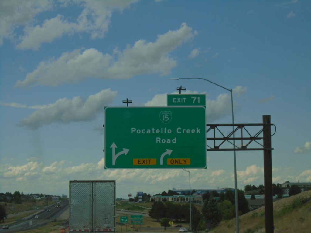
I-15 North - Exits 71
I-15 north at Exit 71 - BL-15/Pocatello Creek Road.
Taken 07-04-2025

 Pocatello
Bannock County
Idaho
United States
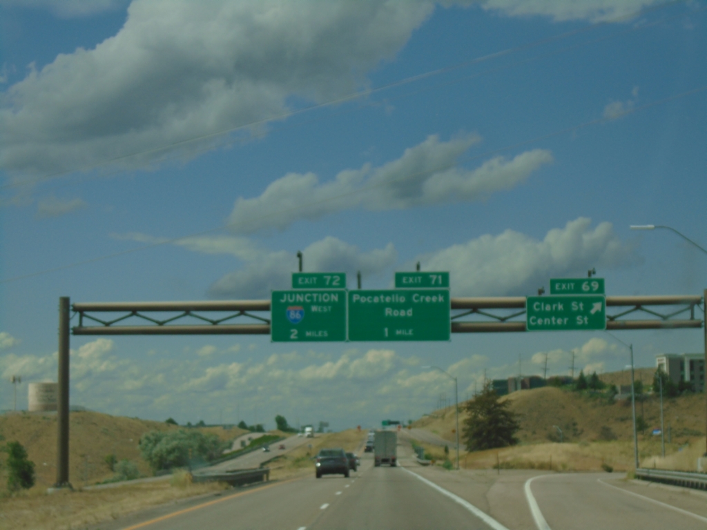
I-15 North - Exits 69, 71, and 72
I-15 north at Exit 69 - Clark St./Center St. Approaching Exit 71 - Pocatello Creek Road, and Exit 72 - Junction I-86 West.
Taken 07-04-2025


 Pocatello
Bannock County
Idaho
United States
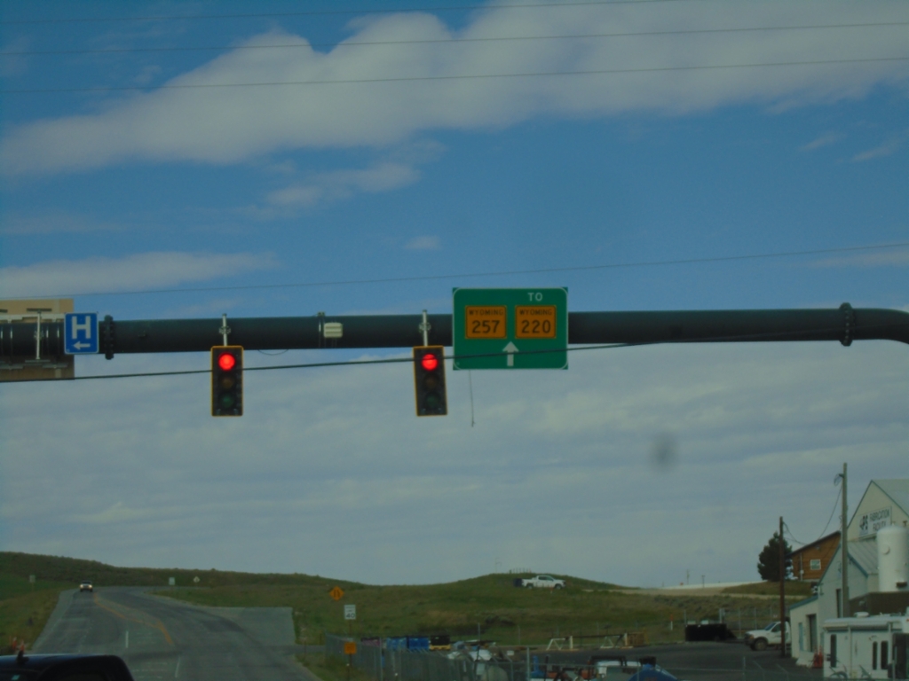
US-20/US-26 West at Bus. US-20/Bus. US-26/WY-257
US-20/US-26 West at Bus. US-20/Bus. US-26/WY-257/To WY-220 in Casper.
Taken 07-04-2025


 Casper
Natrona County
Wyoming
United States
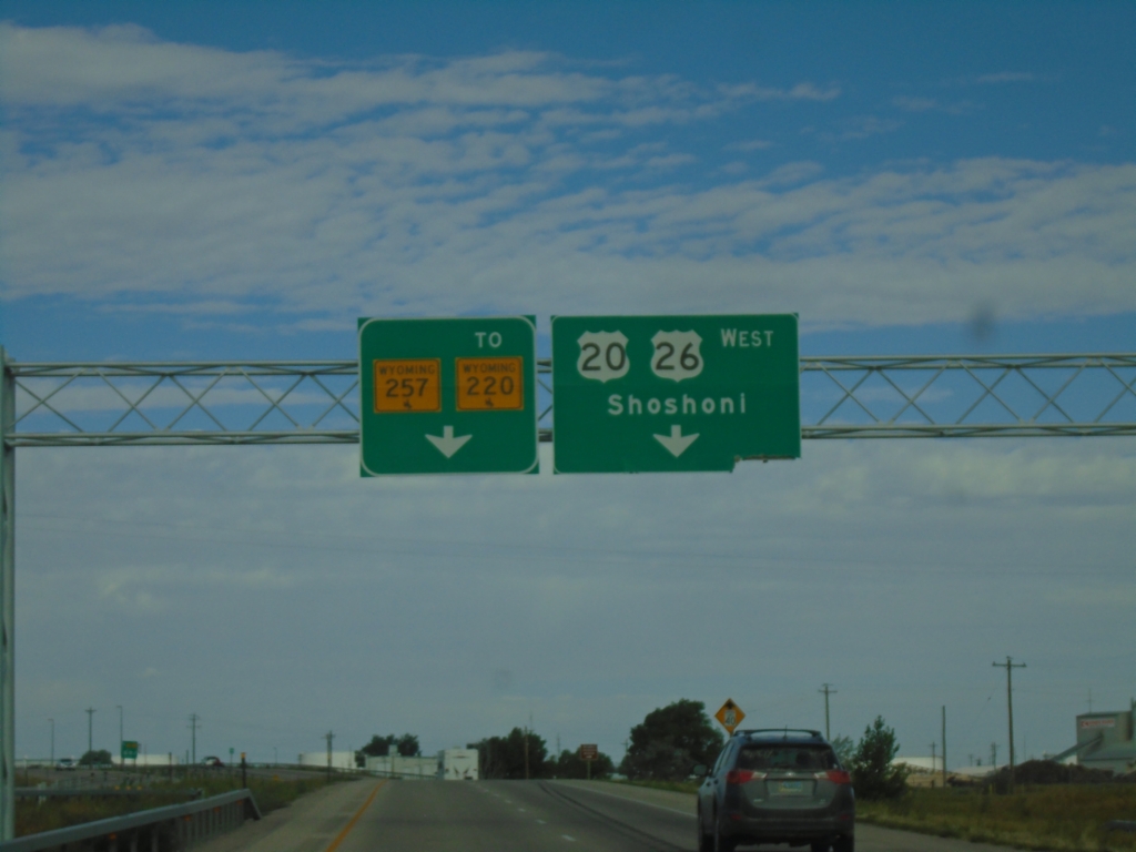
US-20/US-26 West at WY-257/To WY-220 and Bus. US-20/Bus. US-26
US-20/US-26 West at WY-257/To WY-220 and Bus. US-20/Bus. US-26 (not marked) in Casper. Use right lane to continue west on US-20/US-26 to Shoshoni. Continue straight for WY-257/To WY-220 which is the Casper West Belt Route.
Taken 07-04-2025


 Mills
Natrona County
Wyoming
United States
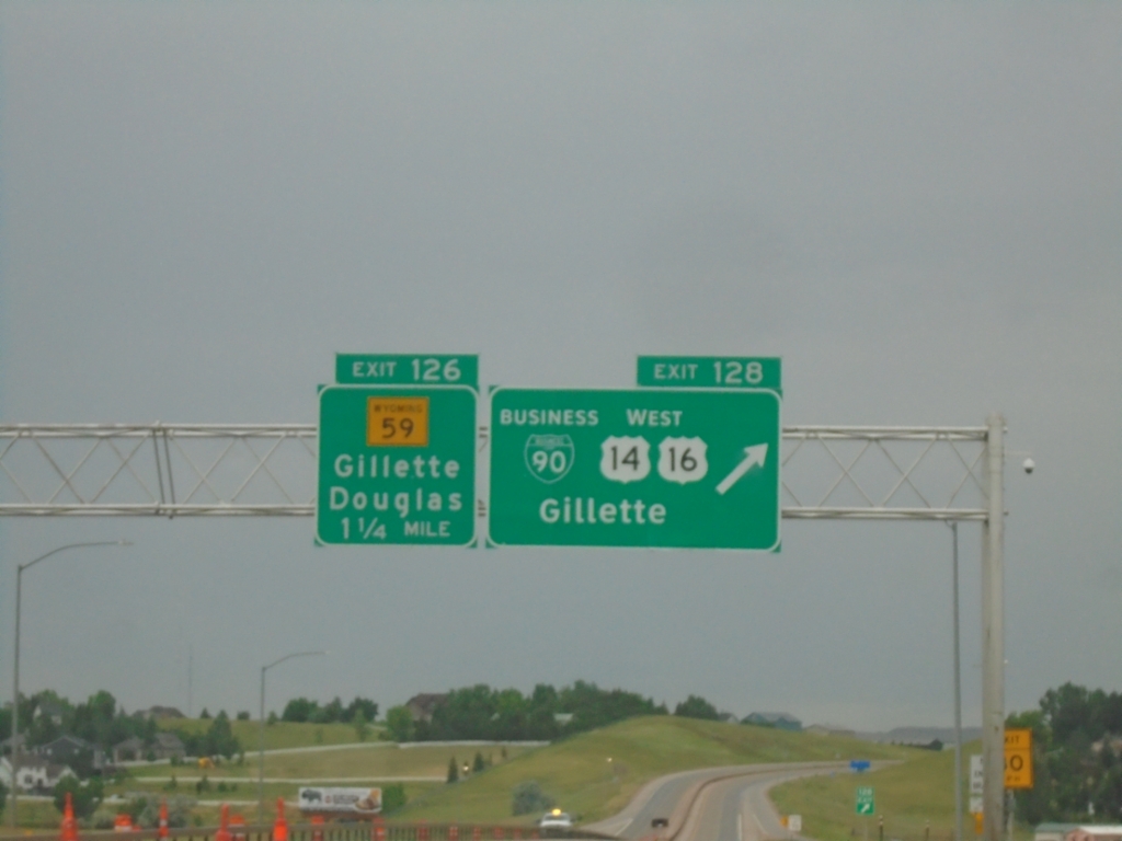
I-90 West - Exits 128 and 126
I-90 West at Exit 128 - BL-90/US-14/US-16 West/Gillette. Approaching Exit 126 - WY-59/Gillette/Douglas.
Taken 07-04-2025


 Gillette
Campbell County
Wyoming
United States
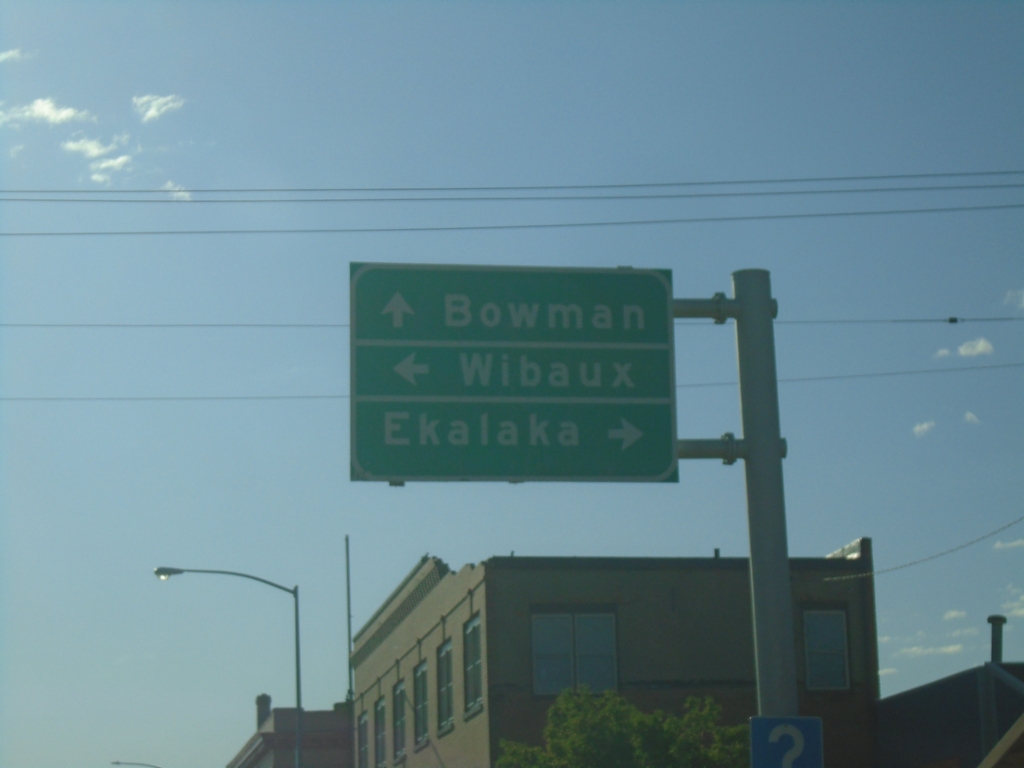
US-12 East at MT-7
US-12 East at MT-7 in Baker. Use MT-7 South to Ekalaka and MT-7 North to Wibaux. Continue east on US-12 to Bowman, North Dakota.
Taken 06-29-2025

 Baker
Fallon County
Montana
United States
I-90 East - Exit 456 - I-94 Jct.
I-90 east at Exit 456 - I-94 East/Bismarck (North Dakota). Merge right to continue east on I-90 to Sheridan (Wyoming). This is the beginning of I-94. The eastern end of I-94 is the Canadian border at Port Huron, Michigan.
Taken 06-28-2025


 Billings
Yellowstone County
Montana
United States
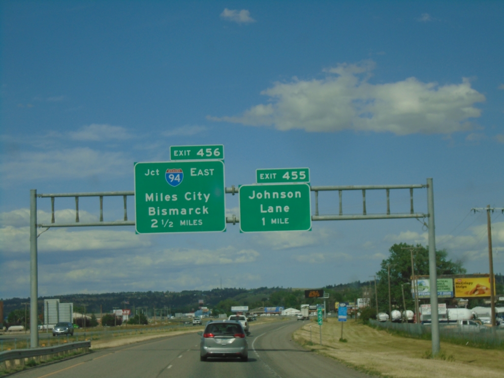
I-90 East - Exits 455 and 456
I-90 east approaching Exit 455 - Johnson Lane, 1 mile. Approaching Exit 456 - I-94 East/Miles City/Bismarck (North Dakota).
Taken 06-28-2025


 Billings
Yellowstone County
Montana
United States
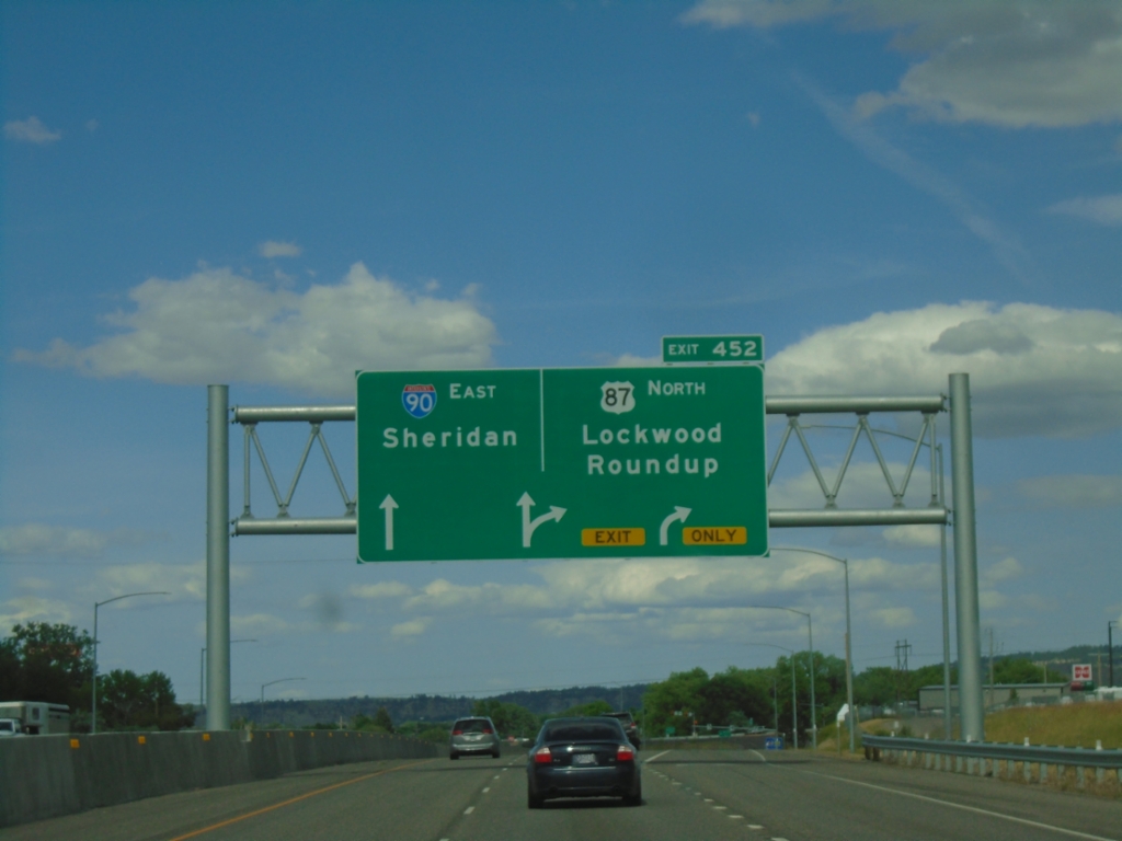
I-90 East - Exit 452
I-90 east at Exit 452 - US-87 North/Lockwood/Roundup. Continue on I-90/US-212 East/US-87 South towards Sheridan (WY). US-87 south joins I-90 east to Sheridan, Wyoming. This is the eastern end of the Billings business loop.
Taken 06-28-2025


 Billings
Yellowstone County
Montana
United States
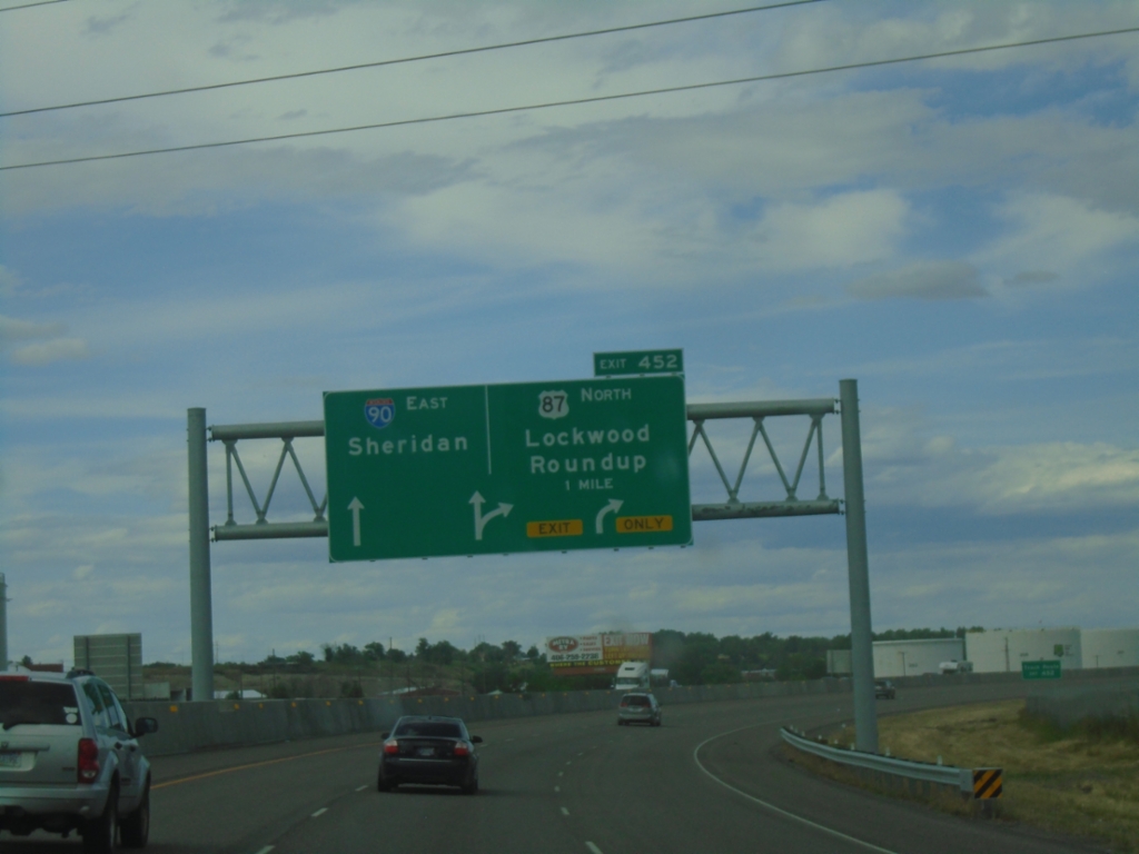
I-90 East - Exit 452
I-90 east approaching Exit 452 - US-87 North/Lockwood/Roundup. Continue east on I-90 to Sheridan (Wyoming).
Taken 06-28-2025


 Billings
Yellowstone County
Montana
United States
I-90 East - Exit 447
I-90 East at Exit 447 - Billings Blvd. Continue east on I-90 towards Sheridan (Wyoming).
Taken 06-28-2025

 Billings
Yellowstone County
Montana
United States
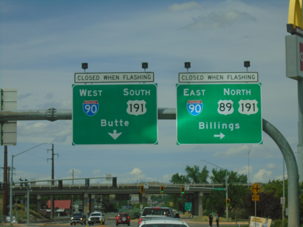
US-89 North at I-90/US-191
US-89 North at I-90/US-191 in Livingston. Use I-90 East/US-191/US-89 North to Billings; use I-90 West/US-191 South to Butte. US-89 North joins I-90 East/US-191 north through Livingston. Lights above sign assembly will flash during when interstate is closed.
Taken 06-28-2025


 Livingston
Park County
Montana
United States