Signs Tagged With Overhead
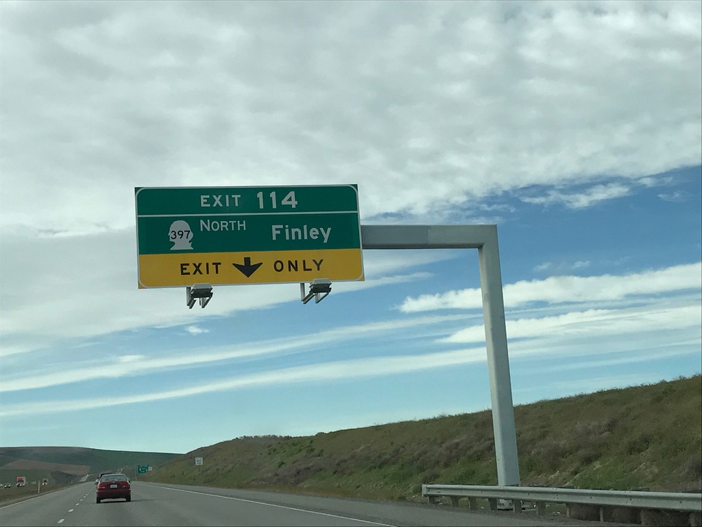
I-82 East - Exit 114
I-82 east approaching Exit 114 - WA-397 North/Finley.
Taken 04-30-2017


 Kennewick
Benton County
Washington
United States
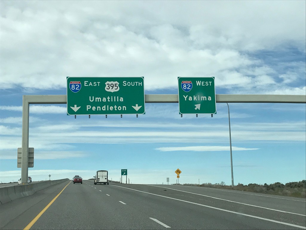
US-395 South at I-82
US-395 south at I-82 in Benton County. Use I-82 West for Yakima; I-82 East/US-395 South for Umatilla (OR) and Pendleton (OR). US-395 south joins I-82 east into Oregon.
Taken 04-30-2017

 Kennewick
Benton County
Washington
United States
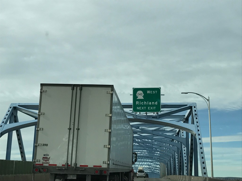
US-395 South Approaching WA-240 West
US-395 South approaching WA-240 West/Richland. Taken on the Blue Bridge over the Columbia River.
Taken 04-30-2017

 Pasco
Franklin County
Washington
United States
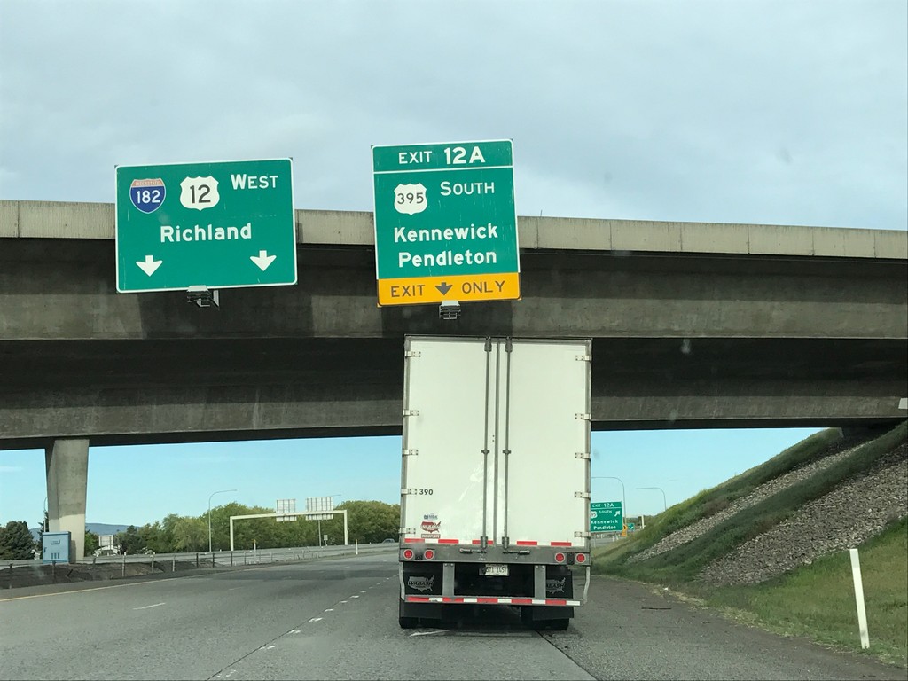
I-182/US-12 West/US-395 South - Exit 12A
I-182/US-12 West/US-395 South at Exit 12A - US-395 South/Kennewick/Pendleton (Oregon). Continue west on I-182/US-12 for Richland.
Taken 04-30-2017


 Pasco
Franklin County
Washington
United States
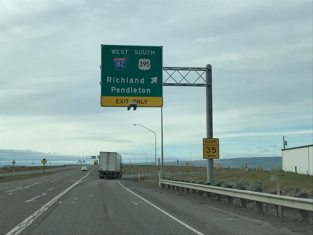
US-395 South at I-182/US-12 - Pasco
US-395 South at I-182/US-12 in Pasco. Merge right to continue south on US-395, and I-182/Pendleton (Oregon)/Richland. US-395 south joins I-182 through Pasco.
Taken 04-30-2017


 Pasco
Franklin County
Washington
United States
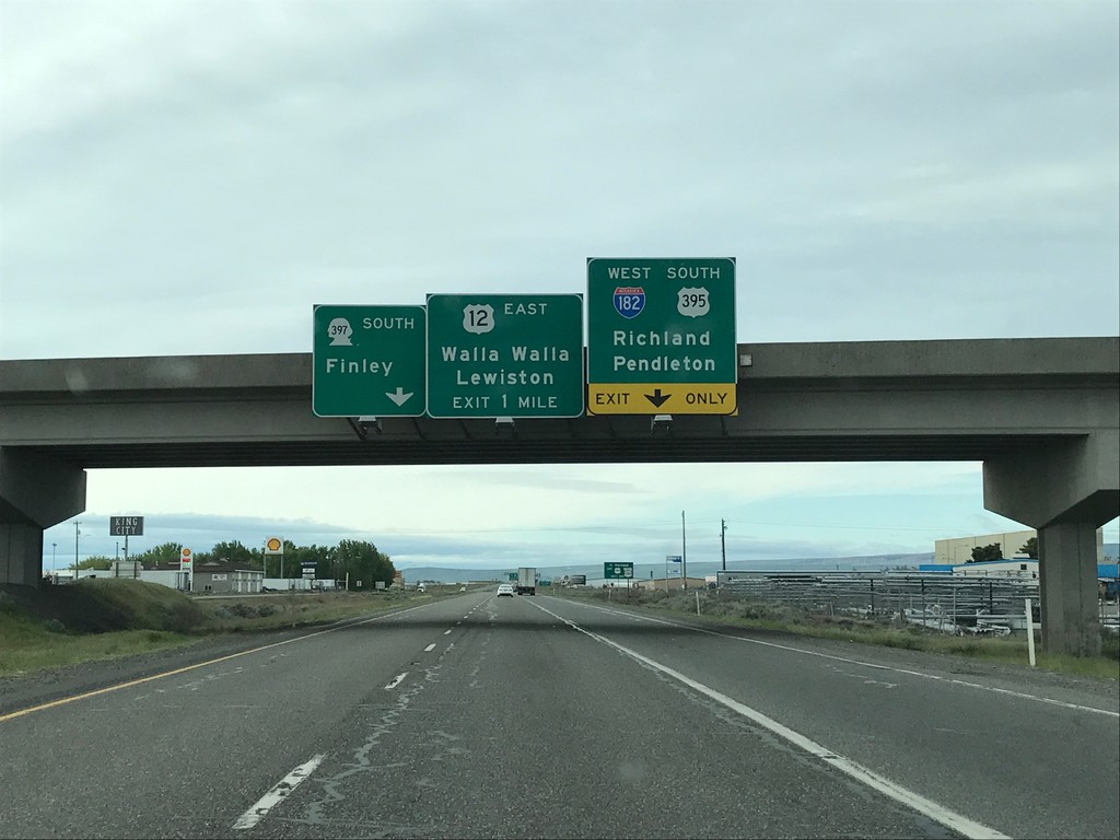
US-395 South - I-182/US-12/WA-397 Jct.
US-395 South - I-182/US-12/WA-397 Jct. in Pasco. Continue on road south for WA-397 South to Finley. Merge right to continue south on US-395 and for I-182/US-12 West to Richland and Pendleton (Oregon). Use US-12 East for Walla Walla and Lewiston (Idaho).
Taken 04-30-2017


 Pasco
Franklin County
Washington
United States
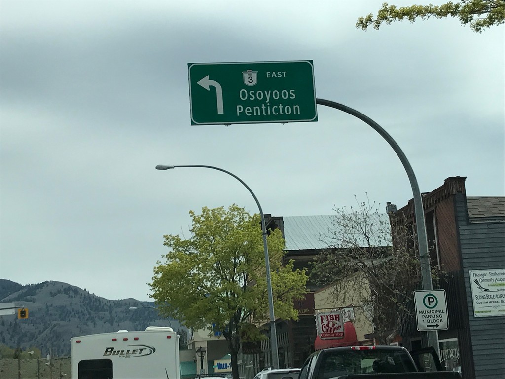
BC-3 East - Keremeos
BC-3 East in Keremeos. Turn left to continue east on BC-3 to Penticton and Osoyoos. The BC-3 shield on the overhead sign does not use the Crowsnest Highway logo.
Taken 04-29-2017
 Keremeos
Okanagan-Similkameen
British Columbia
Canada
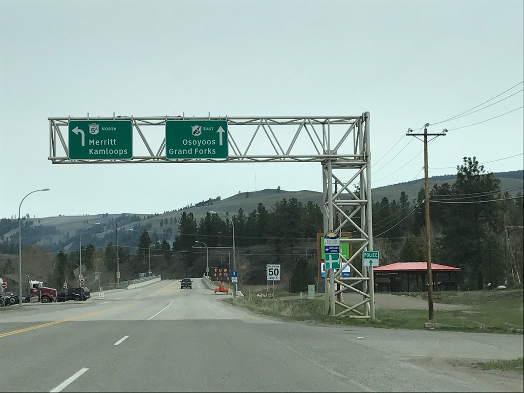
BC-3 East at BC-5A - Princeton
BC-3 East at BC-5A in Princeton. Turn left for BC-5A North to Merritt and Kamloops. Continue east on BC-3 for Osoyoos and Grand Forks.
Taken 04-29-2017

 Princeton
Okanagan-Similkameen
British Columbia
Canada
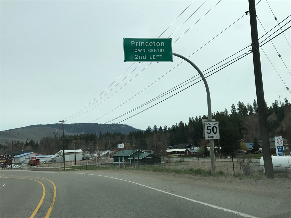
BC-3 East - Princeton City Centre
BC-3 East - Princeton City Centre 2nd left. Maximum 50 km/h.
Taken 04-29-2017
 Princeton
Okanagan-Similkameen
British Columbia
Canada
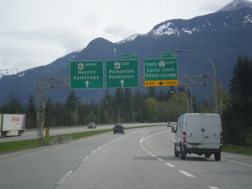
TC-1 East - Exit 170 and Begin BC-5/BC-3
TC-1 East - Exit 170 - TC-1 East/Prince George/Hope. Freeway continues east as BC-5 North to Merritt and Kamloops and BC-3 East/Princeton/Penticton.
Taken 04-29-2017


 Hope
Fraser Valley
British Columbia
Canada
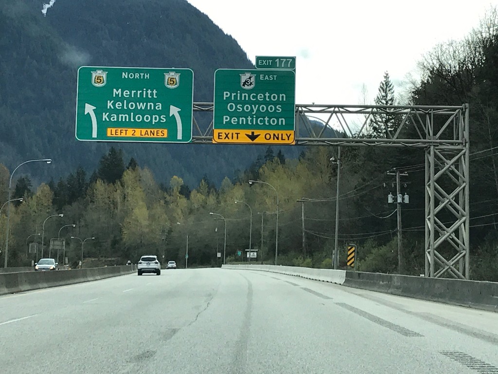
BC-3 East / BC-5 North at Split
BC-3 East / BC-5 North at BC-3/BC-5 Split - Exit 177. Merge right for Exit 177 - BC-3 East (Crowsnest Highway) to Princeton/Osoyoos/Penticton. Merge left for BC-5 North (Coquihalla Highway) to Merritt/Kelowna/Kamloops. The freeway continues along BC-5 north.
Taken 04-29-2017

 Hope
Fraser Valley
British Columbia
Canada
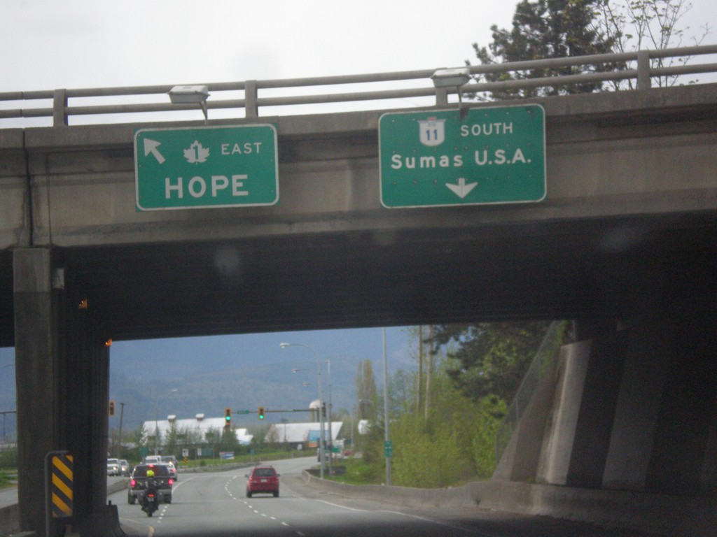
BC-11 South at TC-1 East
BC-11 South at TC-1 East to Hope. Continue south on BC-11 for Sumas, USA via the Huntingdon/Sumas Border Crossing.
Taken 04-29-2017

 Abbotsford
Fraser Valley
British Columbia
Canada
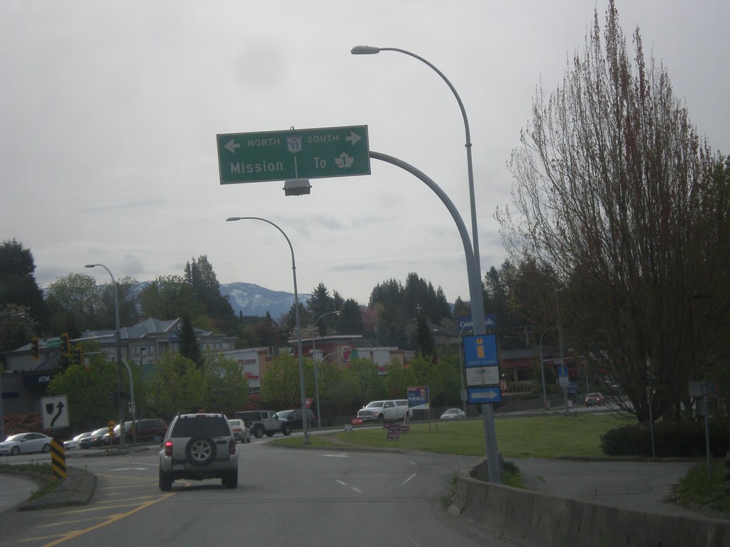
Fraser Way East at BC-11
Fraser Way East at BC-11 in Abbotsford. Use BC-11 north for Mission; BC-11 south for TC-1 junction.
Taken 04-29-2017

 Abbotsford
Fraser Valley
British Columbia
Canada
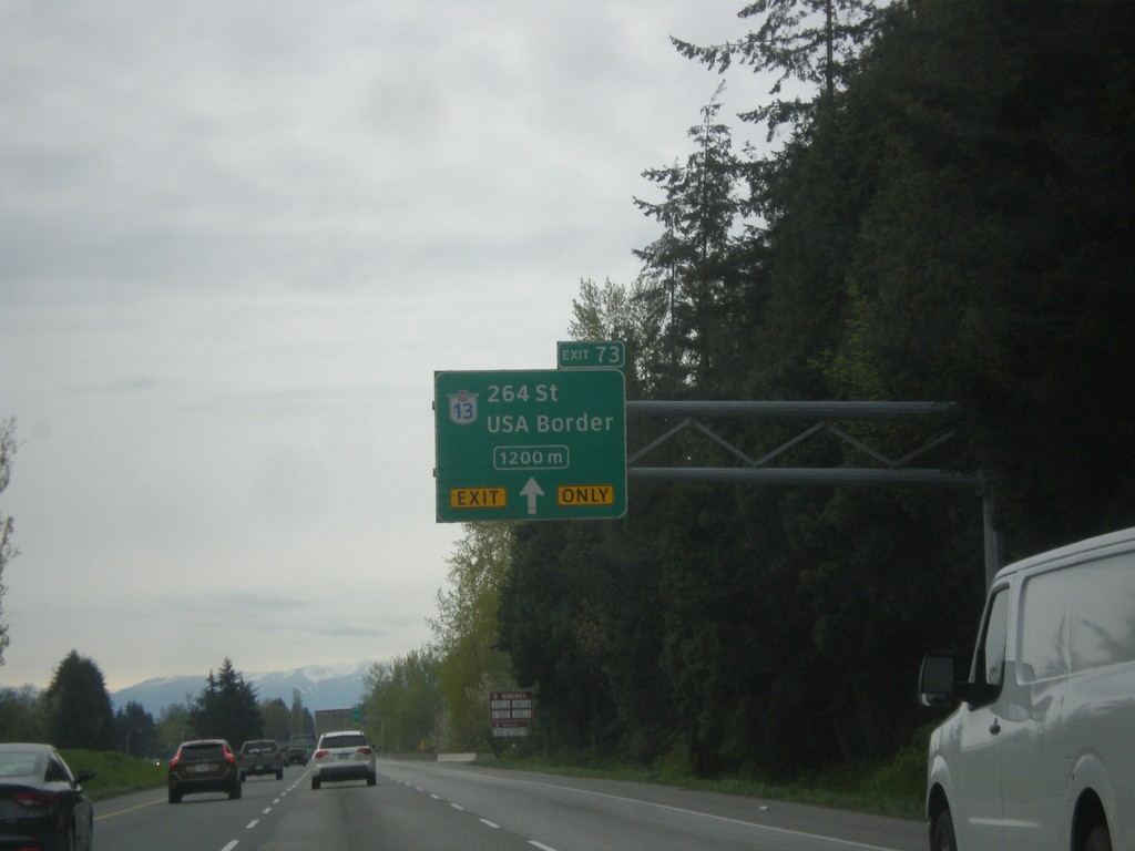
TC-1 East - Exit 73
TC-1 east approaching Exit 73 - BC-13 South/264 St./USA Border. Use BC-13 South for the Aldergrove/Lynden border crossing.
Taken 04-29-2017

 Langley Township
Metro Vancouver
British Columbia
Canada
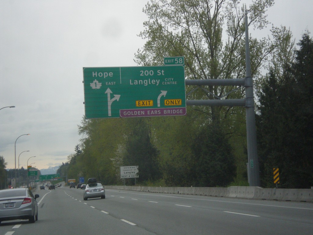
TC-1 East - Exit 58
TC-1 east approaching Exit 58 - 200 St./Langley City Center./Golden Ears (Toll) Bridge. Continue east on TC-1 for Hope.
Taken 04-29-2017
 Langley Township
Metro Vancouver
British Columbia
Canada
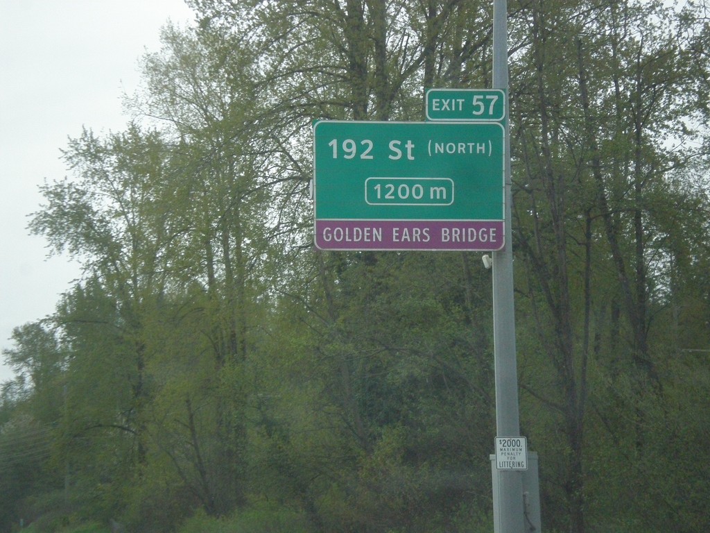
TC-1 East - Exit 57
TC-1 East approaching Exit 57 - 192 St (North)/Golden Ears (Toll) Bridge.
Taken 04-29-2017
 Surrey
Metro Vancouver
British Columbia
Canada
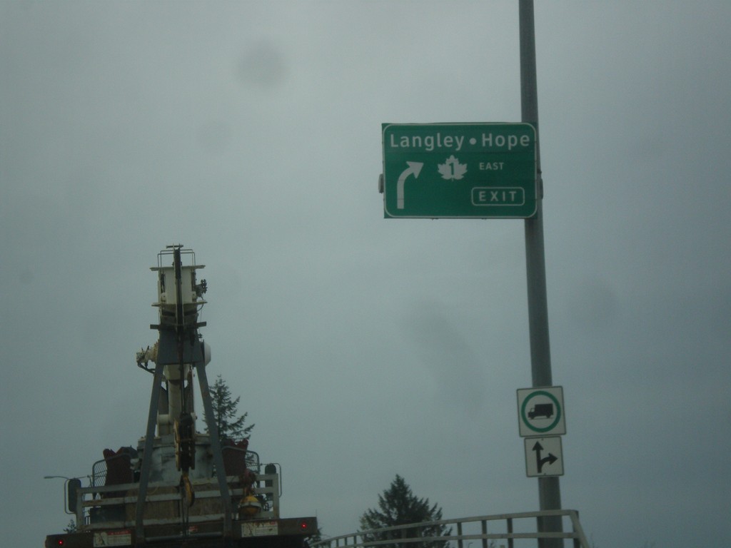
End BC-17 East at TC-1 and BC-15
End BC-17 East at TC-1 and BC-15 in Surrey. Merge right for TC-1 East to Langley and Hope. Roadway becomes BC-15 South/176 St.
Taken 04-29-2017


 Surrey
Metro Vancouver
British Columbia
Canada
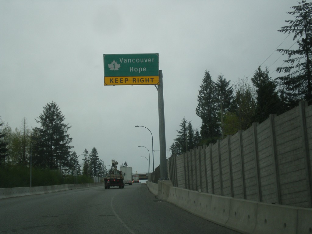
BC-17 East approaching TC-1
BC-17 East approaching TC-1 to Hope and Vancouver.
Taken 04-29-2017

 Surrey
Metro Vancouver
British Columbia
Canada
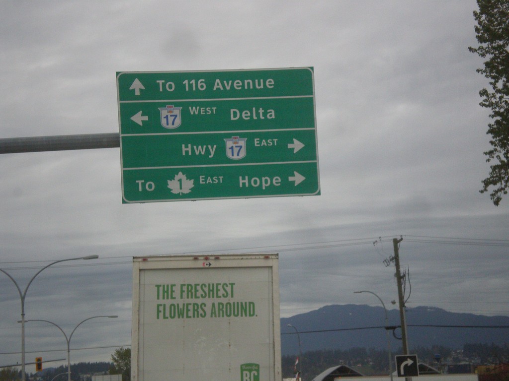
Bridgeview Road north at BC-17
Bridgeview Road north at BC-17 in Surrey. Turn right for BC-17 East to TC-1 and Hope. Turn left for BC-17 West to Delta. Continue north on Bridgeview Road for 116 Ave.
Taken 04-29-2017

 Surrey
Metro Vancouver
British Columbia
Canada
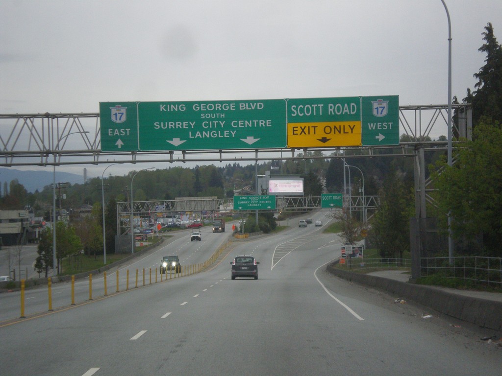
King George Blvd. South at BC-17
King George Blvd. South at BC-17. Merge right for BC-17 west and Scott Road. Continue straight for King George Blvd. South to Surrey City Center, Langley, and BC-17 East.
Taken 04-29-2017
 Surrey
Metro Vancouver
British Columbia
Canada
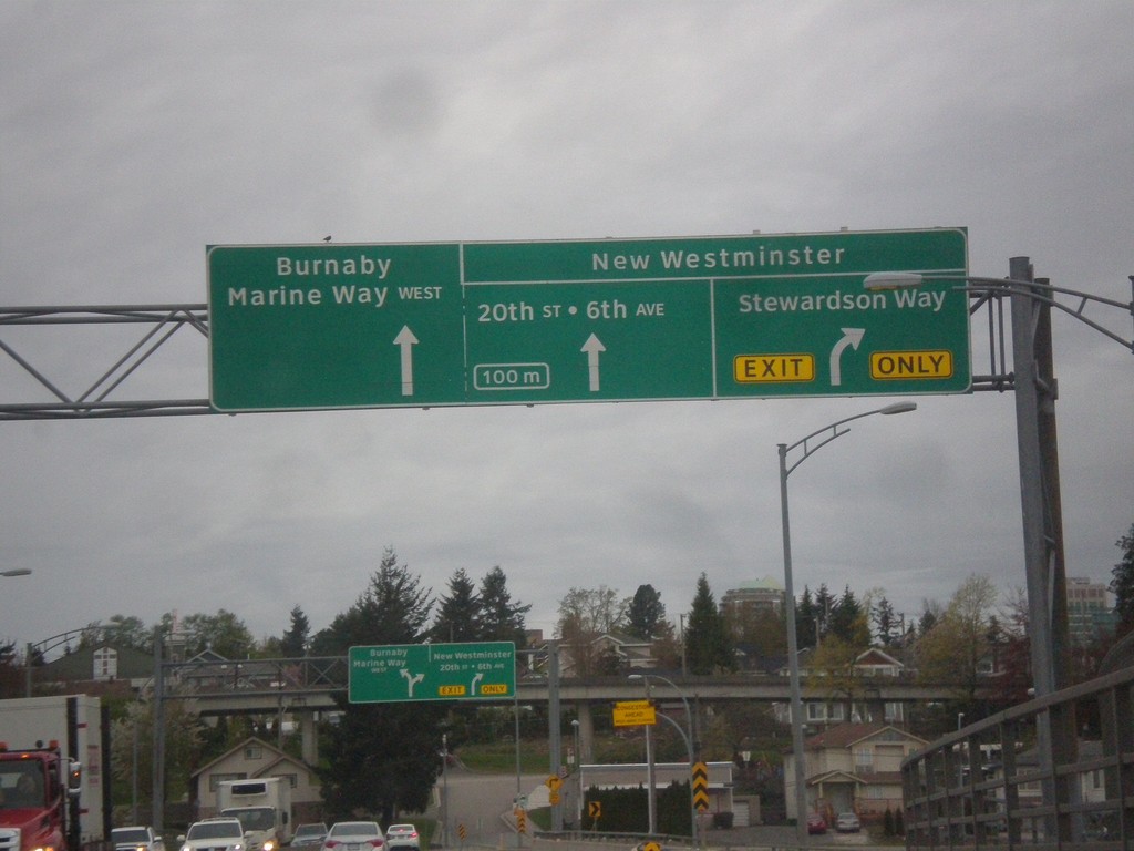
Approaching End BC-91A North in New Westminster
Approaching end BC-91A North on the Queensway Bridge in New Westminster. For New Westminster access merge right for Stewardson Way or continue straight for 20th St./6th Ave. Use left lane for Marine Way West to Burnaby.
Taken 04-29-2017
 New Westminster
Metro Vancouver
British Columbia
Canada
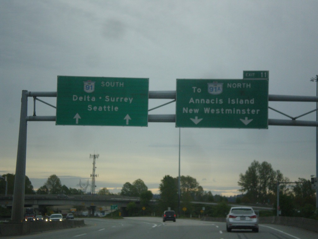
BC-91 South - Exit 11
BC-91 south at Exit 11 - To BC-91A North/Annacis Island/New Westminster. Continue south on BC-91 for Delta, Surrey, and Seattle (WA).
Taken 04-29-2017

 Richmond
Metro Vancouver
British Columbia
Canada
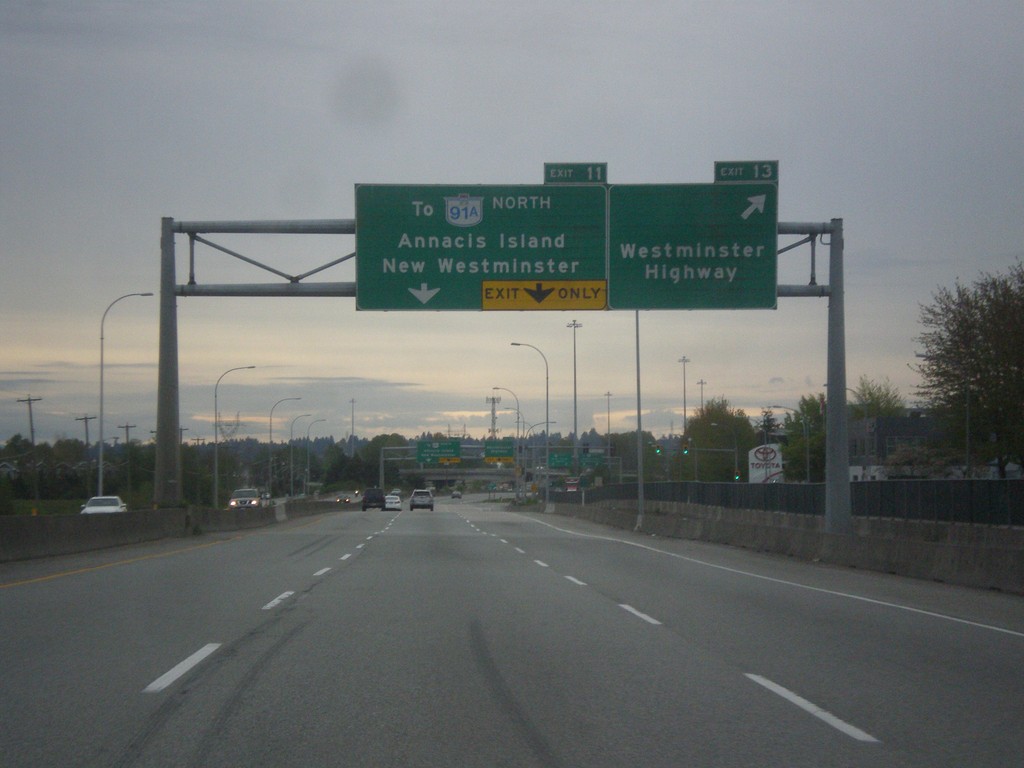
BC-91 South - Exits 13 and 11
BC-91 south at Exit 13 - Westminster Highway. Approaching Exit 11 - To BC-91A North/Annacis Island/New Westminster.
Taken 04-29-2017

 Richmond
Metro Vancouver
British Columbia
Canada
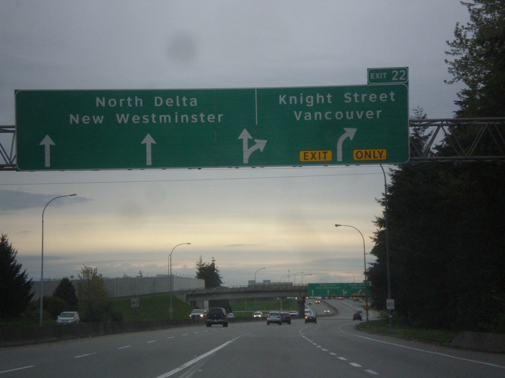
BC-91 South - Exit 22
BC-91 south approaching Exit 22 - Knight St./Vancouver. Continue south on BC-91 for North Westminster and North Delta.
Taken 04-29-2017
 Richmond
Metro Vancouver
British Columbia
Canada
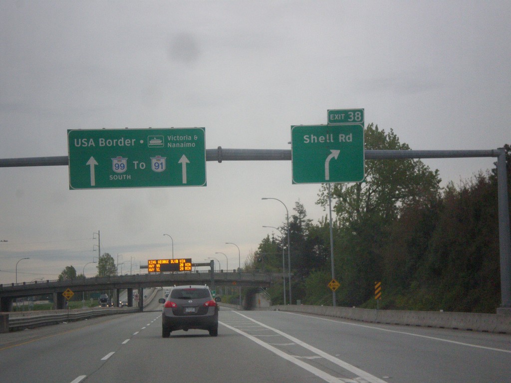
BC-99 South - Exit 39A
BC-99 south at Exit 39A - Shell Road. Continue south on BC-99 for BC-91, USA Border, and Ferry to Victoria and Nanaimo.
Taken 04-29-2017

 Richmond
Metro Vancouver
British Columbia
Canada