Signs Tagged With Overhead
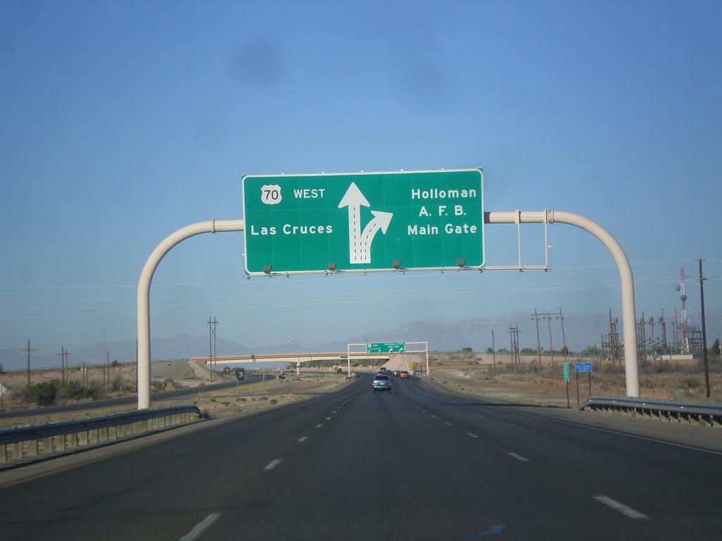
US-70 West - Holloman AFB Main Gate IC
US-70 west approaching Holloman AFB Main Gate interchange. US-70 continues west towards Las Cruces.
Taken 04-15-2013
 Holloman Air Force Base
Otero County
New Mexico
United States
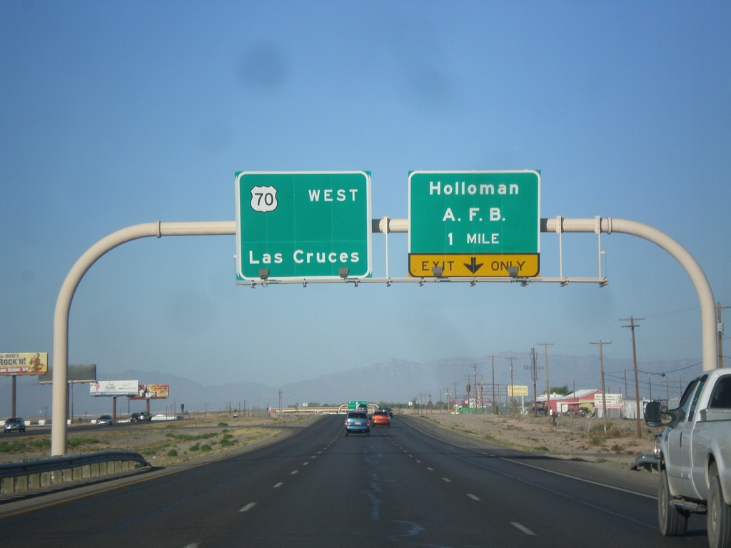
US-70 West - Holloman AFB IC
US-70 west approaching Holloman AFB Main Gate interchange. US-70 continues west towards Las Cruces.
Taken 04-15-2013
 Alamogordo
Otero County
New Mexico
United States
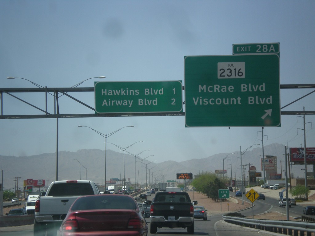
I-10 West - Exit 28A
I-10 west at Exit 28A - FM-2316/McRae Blvd./Viscount Blvd. Approaching Hawkins Blvd. and Airways Blvd.
Taken 04-15-2013

 El Paso
 County
Texas
United States
El Paso
El Paso County
Texas
United States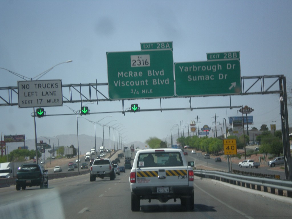
I-10 West - Exits 28B and 28A
I-10 west at Exit 28B - Yarbrough Drive/Sumac Drive. Approaching Exit 28A - FM-2316/McRae Blvd./Viscount Blvd.
Taken 04-15-2013

 El Paso
 County
Texas
United States
El Paso
El Paso County
Texas
United States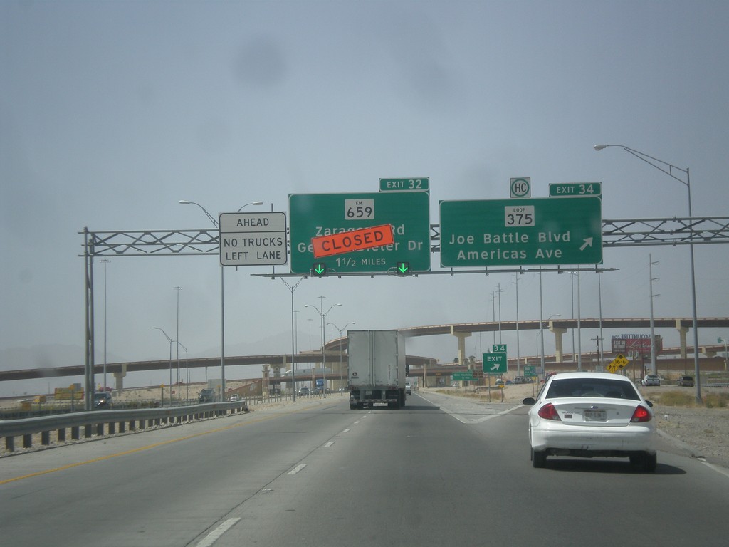
I-10 West - Exits 34 and 32
I-10 west at Exit 34 - Loop 375/Joe Battle Blvd./Americas Ave. Exit 34 is currently closed due to construction.
Taken 04-15-2013


 El Paso
 County
Texas
United States
El Paso
El Paso County
Texas
United States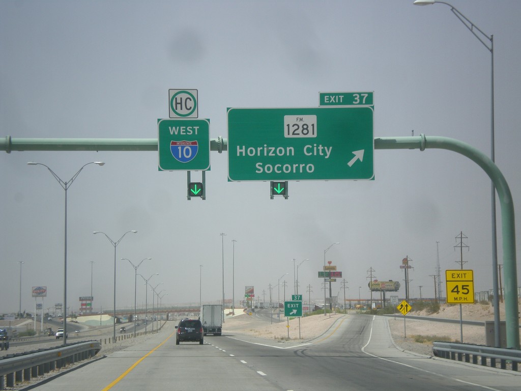
I-10 West - Exit 37
I-10 west approaching Exit 37 - FM-1281/Horizon City/Socorro. I-10 continues west.
Taken 04-15-2013

 El Paso
 County
Texas
United States
El Paso
El Paso County
Texas
United States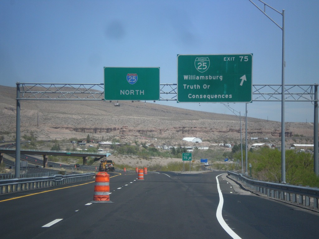
I-25 North - Exit 75
I-25 north at Exit 75 - BL-25/Williamsburg/Truth of Consequences. This is the southern end of the Truth of Consequences business loop.
Taken 04-15-2013

 Williamsburg
Sierra County
New Mexico
United States
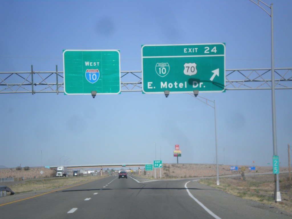
I-10 West - Exit 24
I-10 west at Exit 24 - BL-10/US-70/East Motel Drive.
Taken 04-14-2013


 Lordsburg
Hidalgo County
New Mexico
United States
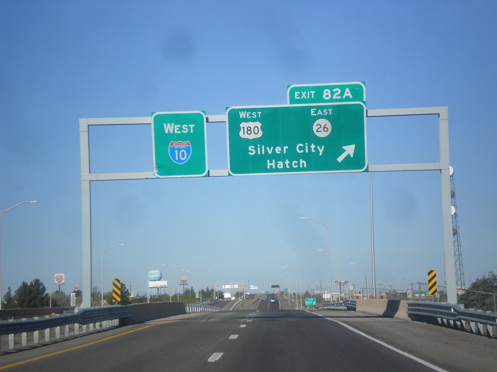
I-10 West - Exit 82A
I-10 west at Exit 82A - US-180 West/NM-26 East/Silver City/Hatch.
Taken 04-14-2013
 Deming
Luna County
New Mexico
United States
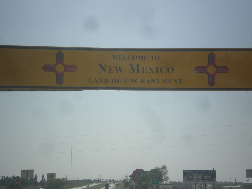
US-62/US-180 West - Welcome To New Mexico
Welcome to New Mexico - Land of Enchantment on US-62/US-180 west at the Texas state line.
Taken 04-14-2013

 Seminole
Gaines County
Texas
United States
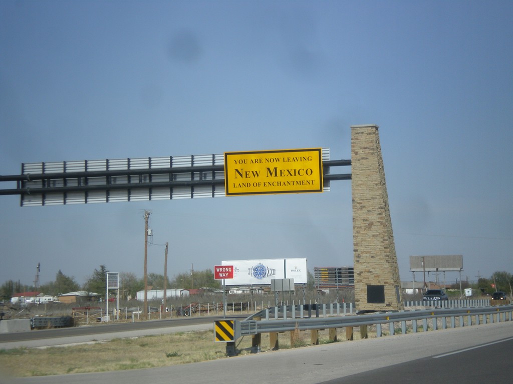
US-62/US-180 East - Leaving New Mexico
You Are Now Leaving New Mexico - The Land of Enchantment on US-62/US-180 east. Taken at the New Mexico/Texas State Line.
Taken 04-14-2013

 Hobbs
Lea County
New Mexico
United States
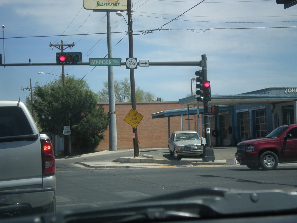
US-380 East at NM-256
US-380 east at NM-256 junction (Atkinson Ave.)
Taken 04-14-2013

 Roswell
Chaves County
New Mexico
United States
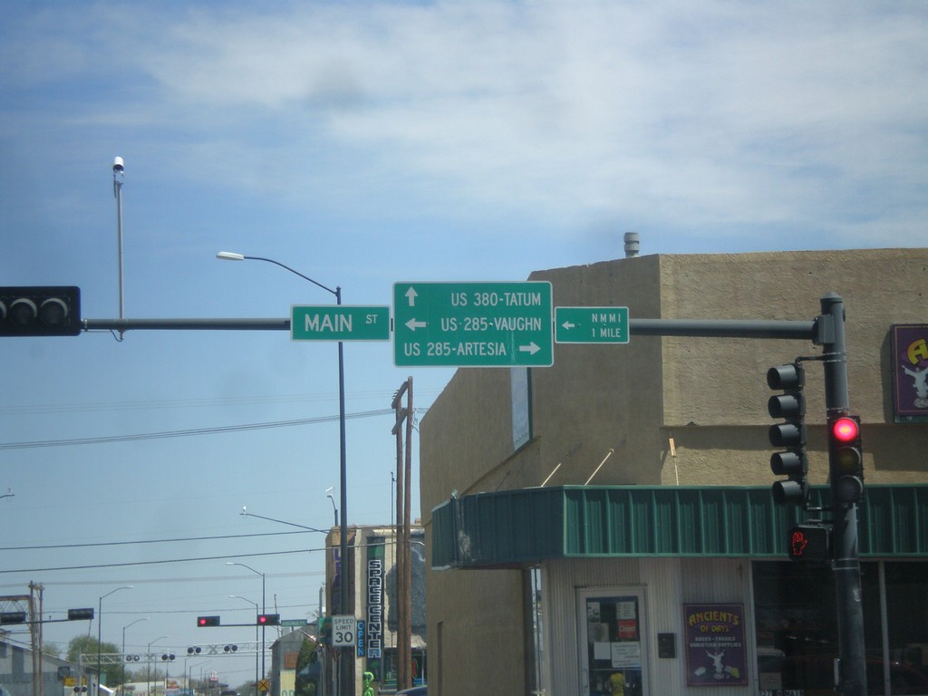
US-380 East at Main St.
US-380 east at Main St. Turn right for Main St. south to US-285/Artesia; turn left for Main St. to US-285/Vaughn. Continue east for US-380 to Tatum.
Taken 04-14-2013


 Roswell
Chaves County
New Mexico
United States
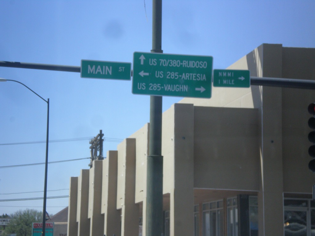
US-380 West at Main St.
US-380 west at Main St. Turn right for Main St. (to US-285 North) to Vaughn. Turn left for Main St. (to US-285 South) to Artesia. Continue west for US-380 (to US-70) to Ruidoso.
Taken 04-14-2013


 Roswell
Chaves County
New Mexico
United States
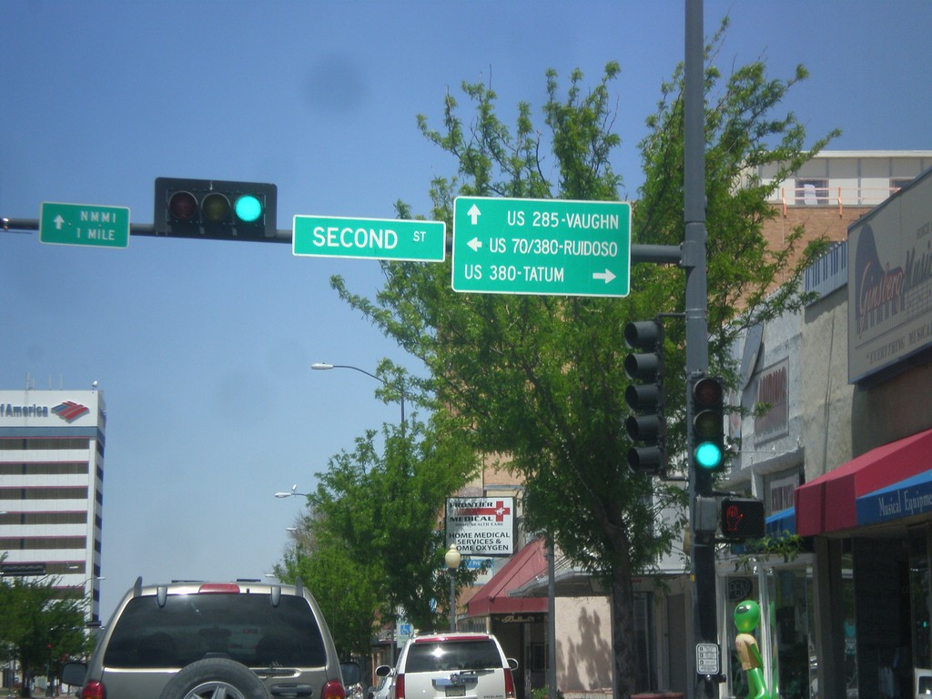
Main St. North at US-380
Main St. North at US-380. Turn right on US-380 east for Tatum, left on US-380 west (to US-70 west) for Ruidoso. Continue north on Main St. for US-285 north to Vaughn.
Taken 04-14-2013


 Roswell
Chaves County
New Mexico
United States
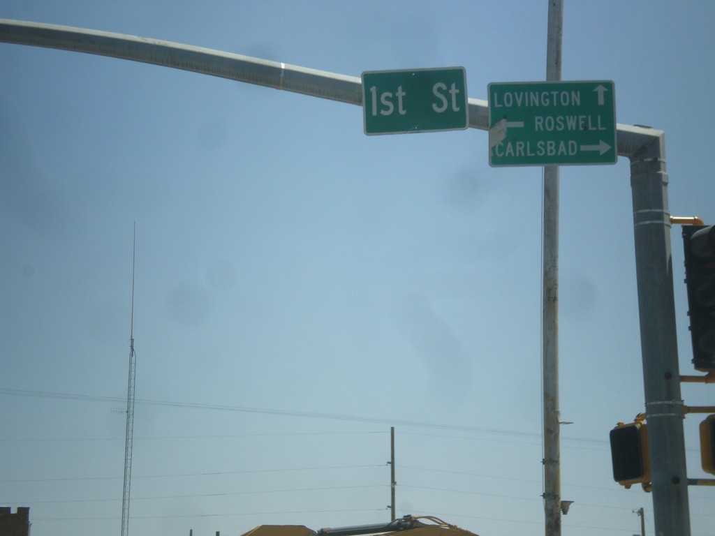
US-82 East at US-285
US-82 east at US-285. Turn right on US-285 south for Carlsbad; left on US-285 north to Roswell; straight on US-82 east for Lovington.
Taken 04-14-2013

 Artesia
Eddy County
New Mexico
United States
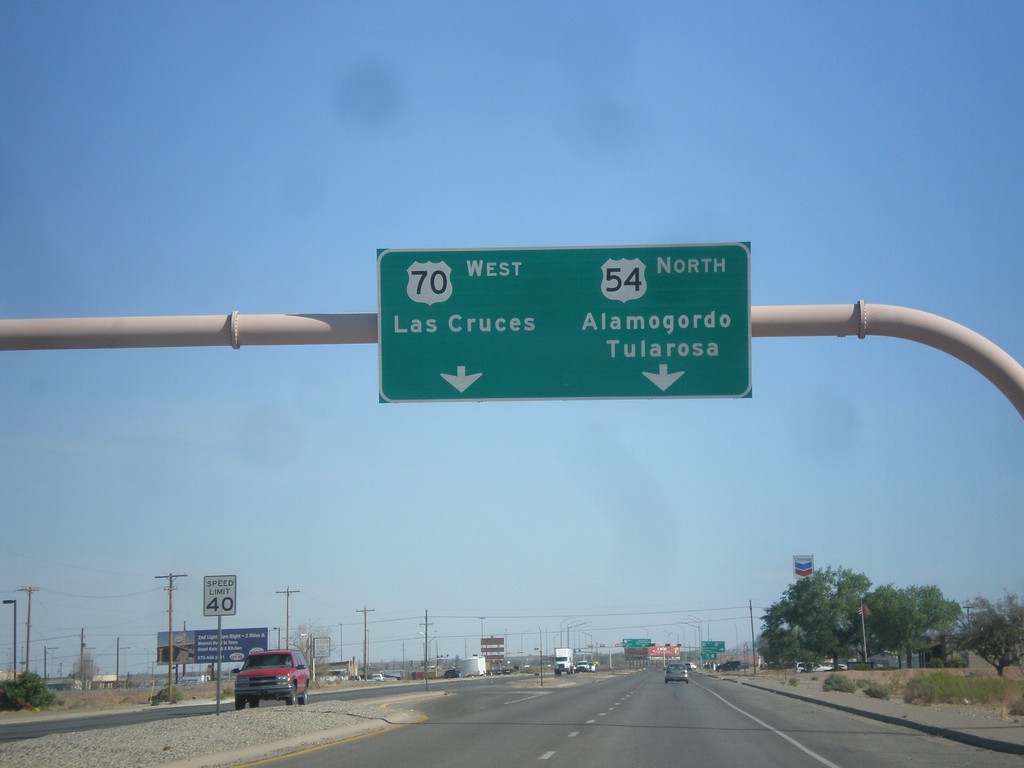
US-54 North Approaching US-70
US-54 north approaching US-70 in Alamogordo. Use US-70 west for Las Cruces. Use US-54 north for Alamogordo and Tularosa. US-70 joins US-54 north to Tularosa.
Taken 04-14-2013

 Alamogordo
Otero County
New Mexico
United States
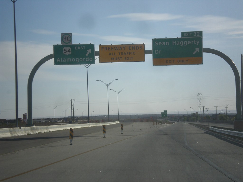
US-54 North - Exit 32
US-54 north at Exit 32 - Sean Haggerty Drive. All traffic must exit the freeway here. The remainder of US-54 north into New Mexico is a divided expressway.
Taken 04-14-2013
 El Paso
 County
Texas
United States
El Paso
El Paso County
Texas
United States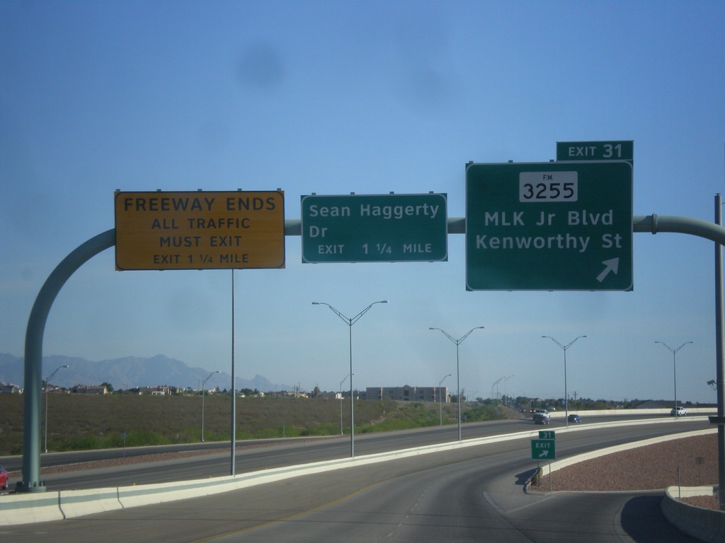
US-54 North - Exit 31
US-54 north at Exit 31 - FM-3255/MLK Jr. Blvd./Kenworthy St. Approaching Sean Haggerty Drive exit. The Patriot Freeway ends at Sean Haggerty Drive exit.
Taken 04-14-2013

 El Paso
 County
Texas
United States
El Paso
El Paso County
Texas
United States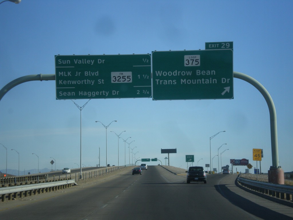
US-54 North - Exit 29
US-54 north at Exit 29 - TX-375 Loop North/Woodrow Bean Transmountain Drive. This is the northern end of the TX-375 Loop around El Paso. Approaching Sun Valley Drive, FM-3255/MLK Jr. Blvd./Kenworthy St./Sean Haggerty Drive interchanges.
Taken 04-14-2013


 El Paso
 County
Texas
United States
El Paso
El Paso County
Texas
United States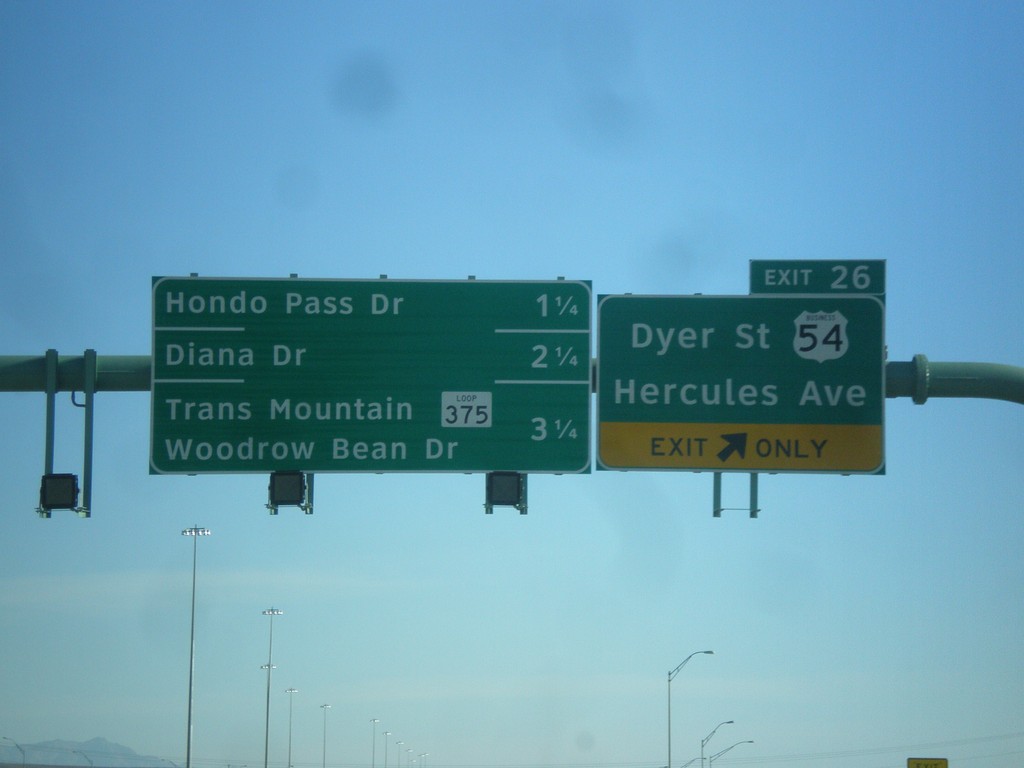
US-54 North - Exit 26
US-54 north at Exit 26 - Business US-54/Dyer St./Hercules Ave. Approaching Hondo Pass Road, Diana Drive, and TX-375 Loop/Trans Mountain Woodrow Bean Drive.
Taken 04-14-2013


 El Paso
 County
Texas
United States
El Paso
El Paso County
Texas
United States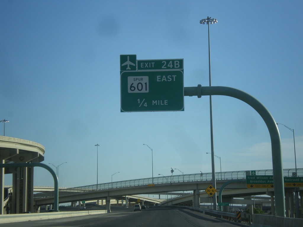
US-54 North - Exit 24B
US-54 north approaching Exit 24B - TX-601 Spur East. Use TX-601 Spur for the El Paso International Airport.
Taken 04-14-2013

 El Paso
 County
Texas
United States
El Paso
El Paso County
Texas
United States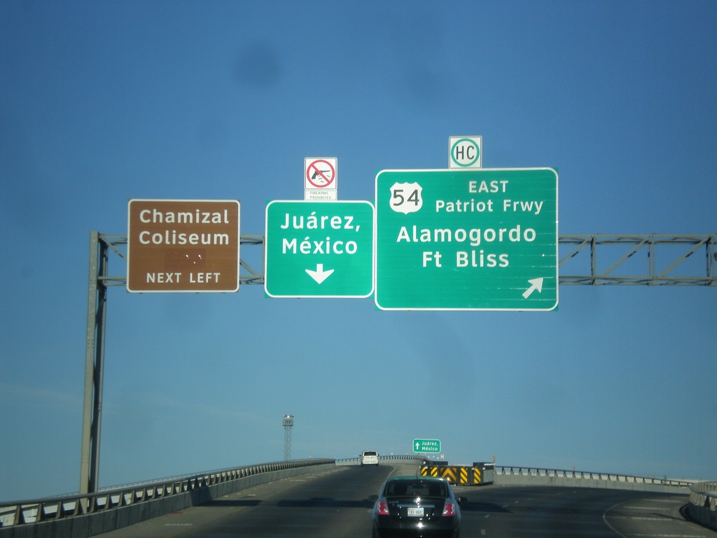
I-10 West at I-110/US-54 Ramps
I-10 west at I-110/US-54 ramps. Merge right for US-54 North/Patriot Freeway/Alamogordo/Fort Bliss. Merge left for (I-110/US-54 South)/Juárez, Mexico. Also use I-110/US-54 south for Chamizal Coliseum. Notice the sign above the Juárez, Mexico signs that shows firearms are not allowed in Mexico.
Taken 04-14-2013


 El Paso
 County
Texas
United States
El Paso
El Paso County
Texas
United States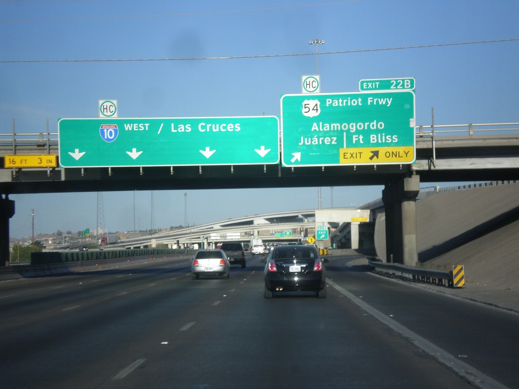
I-10 West - Exit 22B
I-10 west at Exit 22B - US-54/Patriot Freeway/Alamogordo/Fort Bliss/Juárez. I-10 continues west to Las Cruces (New Mexico).
Taken 04-14-2013


 El Paso
 County
Texas
United States
El Paso
El Paso County
Texas
United States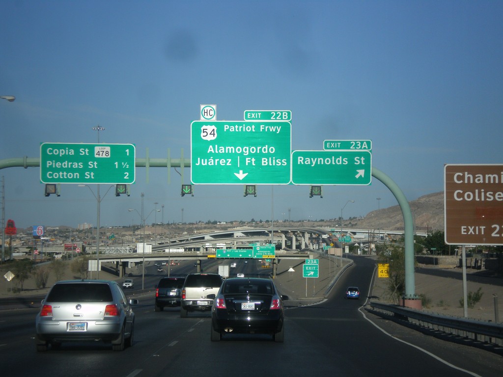
I-10 West - Exits 23A and 22B
I-10 west at Exit 23A - Raynolds St. Approaching Exit 22B - US-54/Patriot Freeway/Alamogordo/Fort Bliss/Juárez (Mexico). Also approaching Copia St., and Piedras St./Cotton St interchanges.
Taken 04-14-2013


 El Paso
 County
Texas
United States
El Paso
El Paso County
Texas
United States