Signs Tagged With Overhead
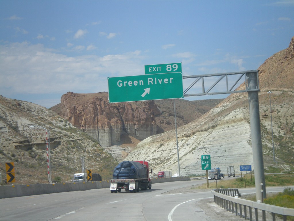
I-80 West - Exit 89
I-80 west at Exit 89 - Green River. This is the western end of the Green River business loop.
Taken 08-01-2010


 Green River
Sweetwater County
Wyoming
United States
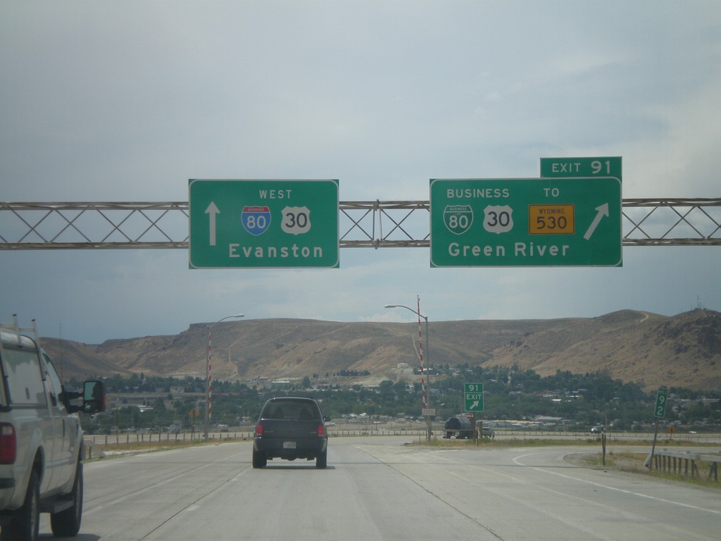
I-80 West - Exit 91
I-80 west at Exit 91 - BL-80/Bus. US-30/To WY-530/Green River. This is the eastern end of the Green River business loop. Continue west on I-80/US-30 for Evanston.
Taken 08-01-2010


 Green River
Sweetwater County
Wyoming
United States
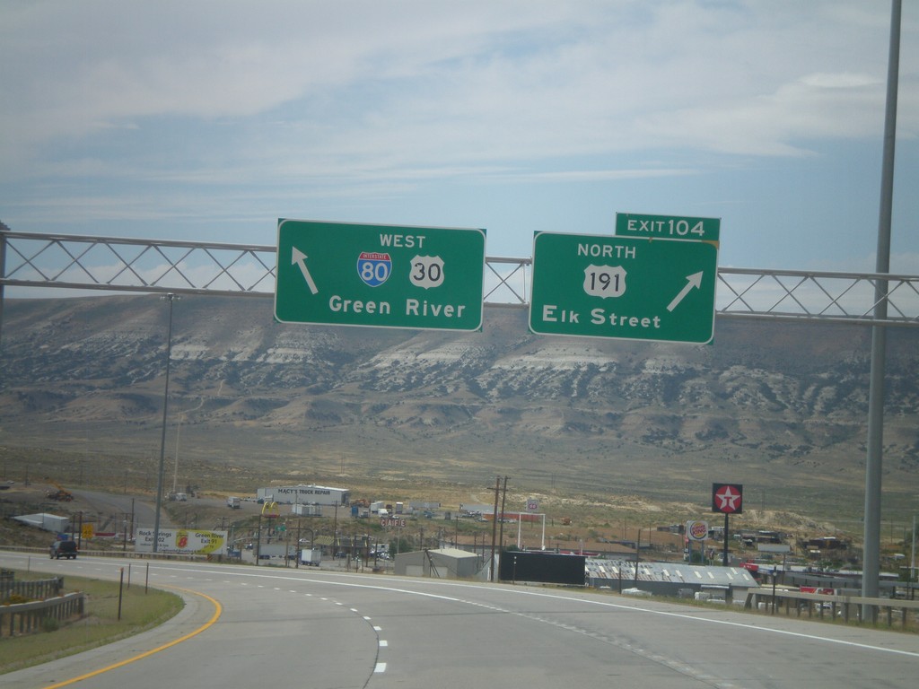
I-80 West - Exit 104
I-80 west at Exit 104 - US-191 North/Elk St. US-191 south joins I-80 to Green River.
Taken 08-01-2010


 Rock Springs
Sweetwater County
Wyoming
United States
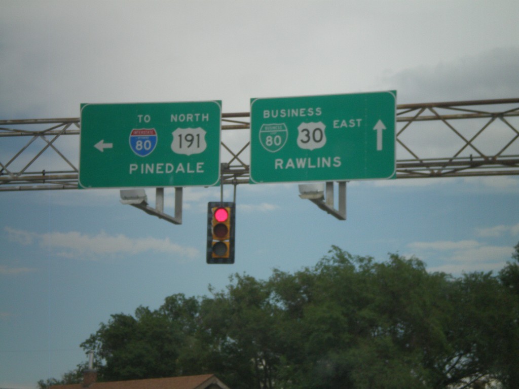
BL-80/Bus. US-30 East at Elk St.
BL-80/Bus. US-30 East at Elk St. in downtown Rock Springs. Use Elk St. north for US-191 to Pinedale and I-80. Continue east on BL-80/Bus. US-30 for Rawlins.
Taken 08-01-2010


 Rock Springs
Sweetwater County
Wyoming
United States
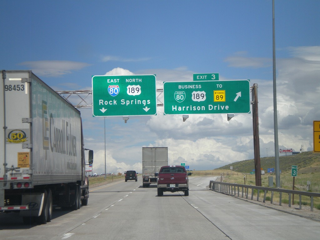
I-80 East - Exit 3
I-80 East/US-189 North at Exit 3 - BL-80/Bus. US-189/To WY-89/Harrison Drive. Continue on I-80 East/US-189 North for Rock Springs.
Taken 07-31-2010


 Evanston
Uinta County
Wyoming
United States
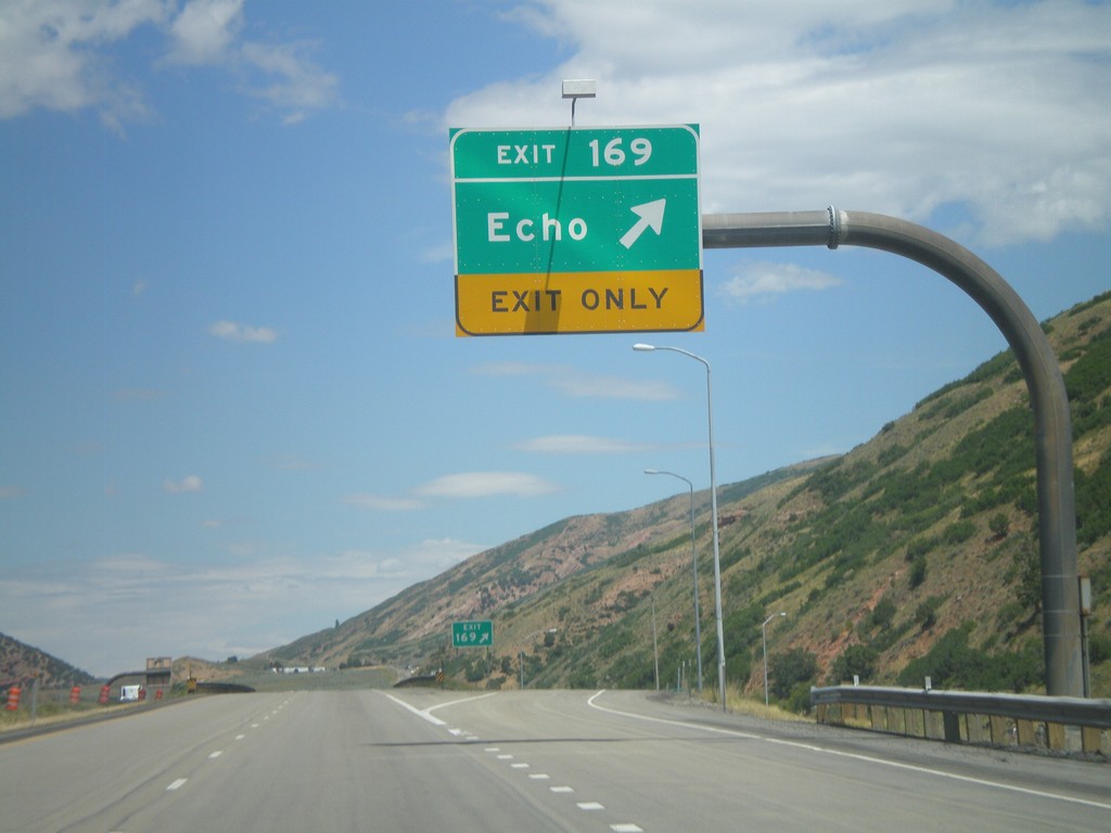
I-80 East - Exit 169
I-80 east at Exit 169 - Echo.
Taken 07-31-2010
 Coalville
Summit County
Utah
United States
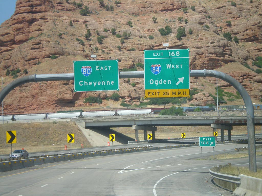
I-80 East - Exit 168
I-80 East at Exit 168 - I-84 West/Ogden. I-80 continues east towards Cheyenne. This is the eastern end of I-84.
Taken 07-31-2010

 Coalville
Summit County
Utah
United States
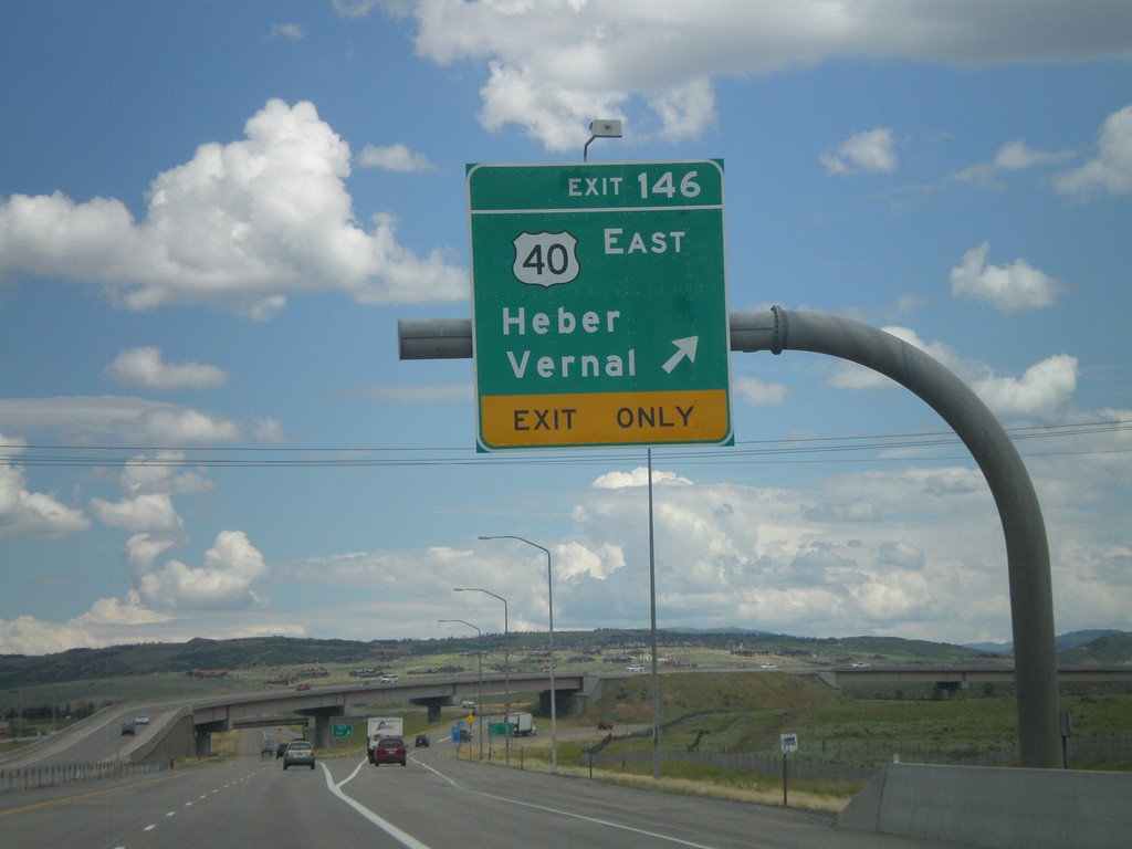
I-80 East - Exit 146
I-80 East at Exit 146 - US-40 East/Heber/Vernal. This is the western end of US-40.
Taken 07-31-2010

 Park City
Summit County
Utah
United States
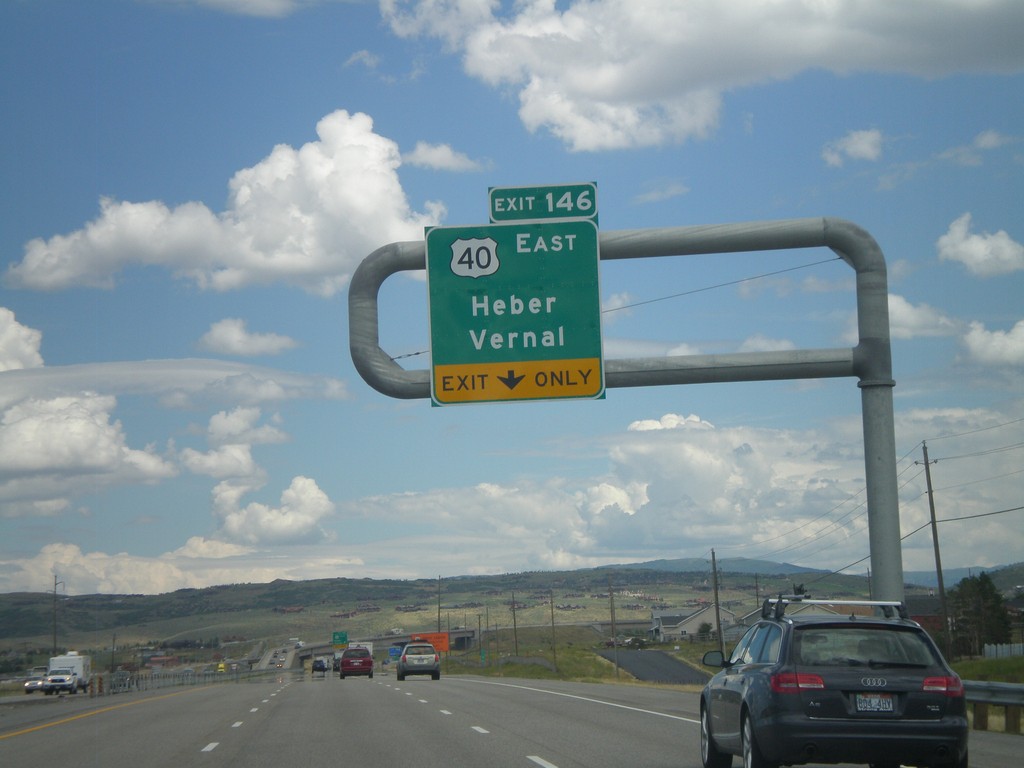
I-80 East - Exit 146
I-80 east approaching Exit 146 - US-40 East/Heber/Vernal.
Taken 07-31-2010

 Park City
Summit County
Utah
United States
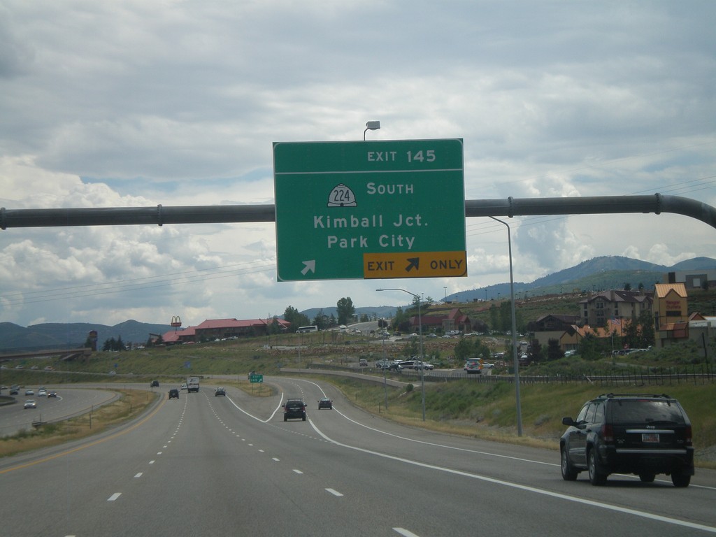
I-80 East - Exit 145
I-80 east at Exit 145 - UT-224 South/Kimball Junction/Park City.
Taken 07-31-2010

 Silver Summit
Summit County
Utah
United States
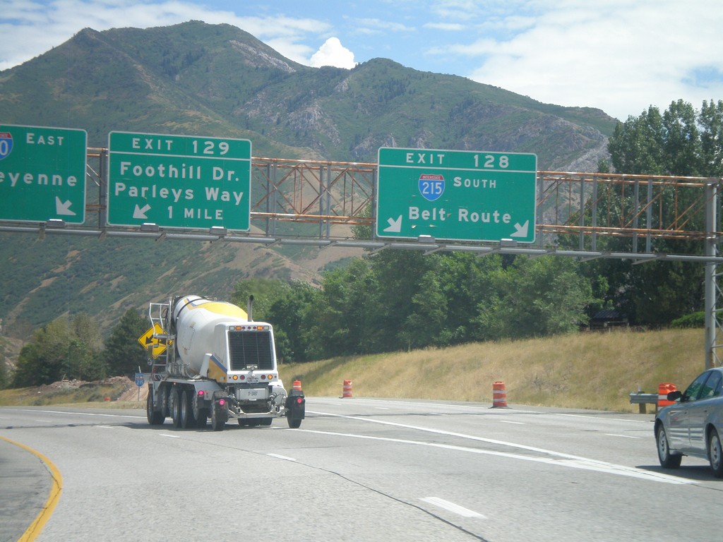
I-80 East At Exit 128 and Approaching Exit 129
I-80 east at Exit 128 - I-215 South/Belt Route. Approaching Exit 129 - Foothill Drive/Parleys Way. I-80 continues east towards Cheyenne.
Taken 07-31-2010


 Salt Lake City
Salt Lake County
Utah
United States
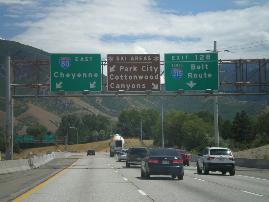
I-80 East - Ski Areas
I-80 east approaching Exit 118 - I-215 South/Belt Route. A sign informs which exit to take for local ski areas. Use I-215 south for Cottonwood Canyons. Continue on I-80 east towards Cheyenne for Park City.
Taken 07-31-2010

 Salt Lake City
Salt Lake County
Utah
United States
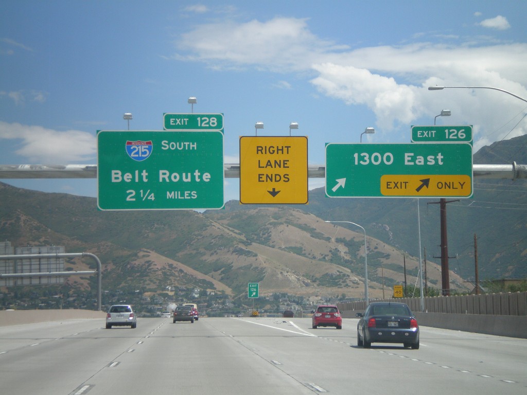
I-80 East - Exit 126 and Approaching Exit 128
I-80 east at Exit 126 - 1300 East. Approaching Exit 128 - I-215 South/Belt Route.
Taken 07-31-2010

 Salt Lake City
Salt Lake County
Utah
United States
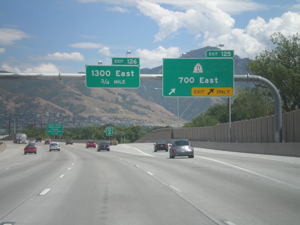
I-80 East - Exit 125. Approaching Exit 126
I-80 east at Exit 125 - UT-71/700 East. Approaching Exit 126 - 1300 East.
Taken 07-31-2010

 South Salt Lake
Salt Lake County
Utah
United States
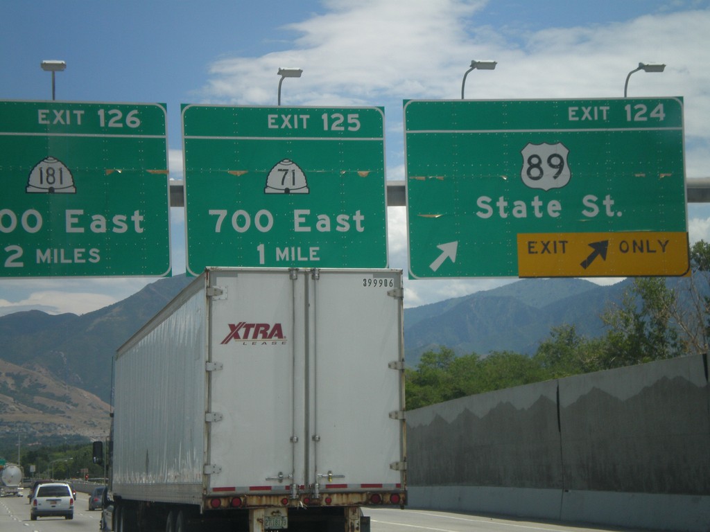
I-80 East - Exits 124, 125, and 126
I-80 east at Exit 124 - US-89/State St. Approaching Exit 125 - UT-71/700 East. Also approaching Exit 126 - UT-181/1300 East.
Taken 07-31-2010


 South Salt Lake
Salt Lake County
Utah
United States
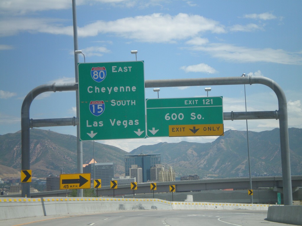
I-80 East - Exit 121
I-80 east at Exit 121 - 600 South. This exit is located on the merge between I-15 South and I-80 East. Use I-80 East for Cheyenne, and I-15 South for Las Vegas.
Taken 07-31-2010

 Salt Lake City
Salt Lake County
Utah
United States
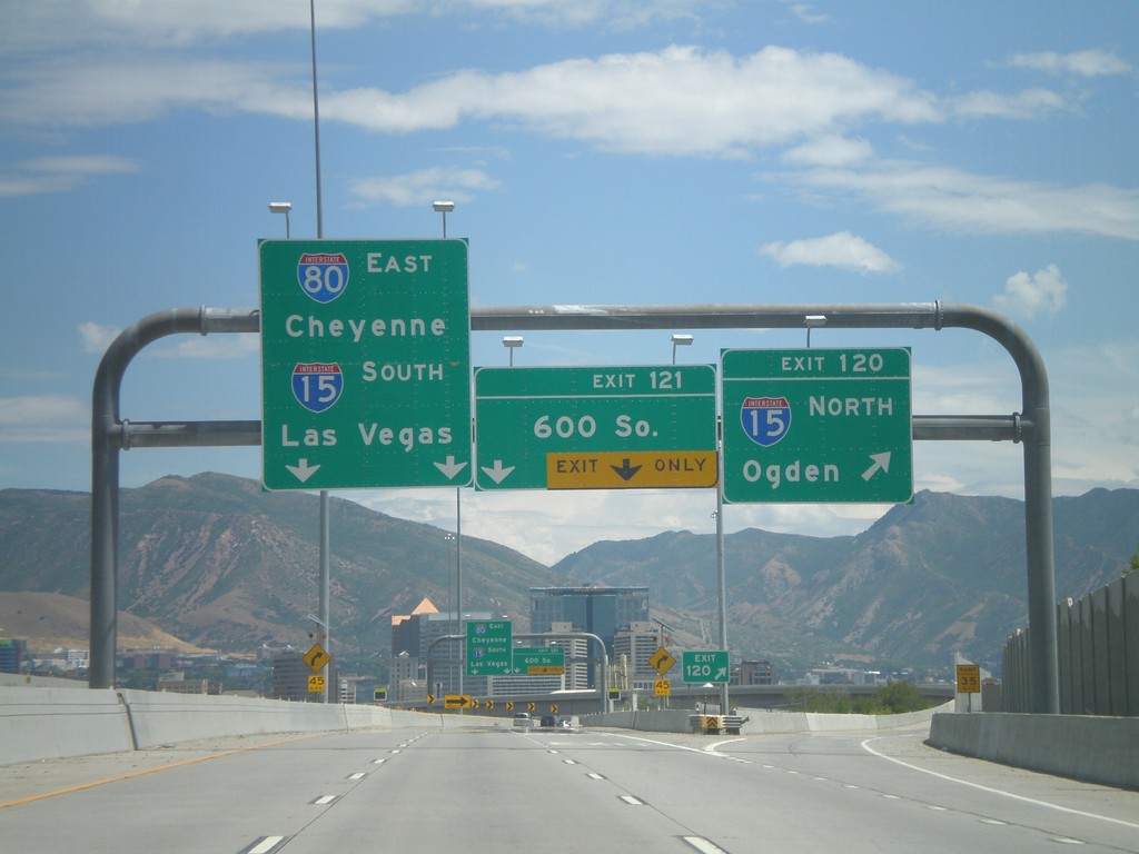
I-80 East - Exits 120 and 121
I-80 east at Exit 120 - I-15 North/Ogden. Approaching Exit 121 - 600 South. I-15 and I-80 join briefly through Salt Lake City. Continue on I-80 East for Cheyenne, and I-15 South for Las Vegas.
Taken 07-31-2010

 Salt Lake City
Salt Lake County
Utah
United States
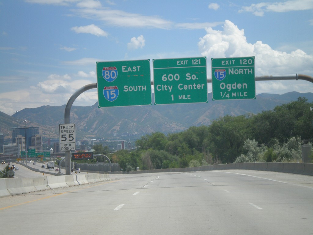
I-80 East - Exits 120 and 121
I-80 east approaching Exit 120 - I-15 North/Ogden. Also approaching Exit 121 - 600 South. Use left lanes for I-80 East and I-15 South.
Taken 07-31-2010

 Salt Lake City
Salt Lake County
Utah
United States
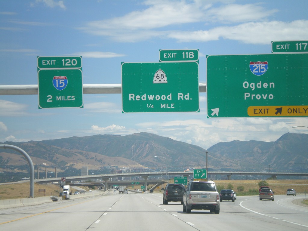
I-80 East - Exit 117. Approaching Exits 118 and 120
I-80 east at Exit 117 - I-215/Odgen/Provo. I-215 is the Salt Lake City Belt Route. Approaching Exit 118 - UT-68/Redwood Road, and Exit 120 - I-15.
Taken 07-31-2010


 Salt Lake City
Salt Lake County
Utah
United States
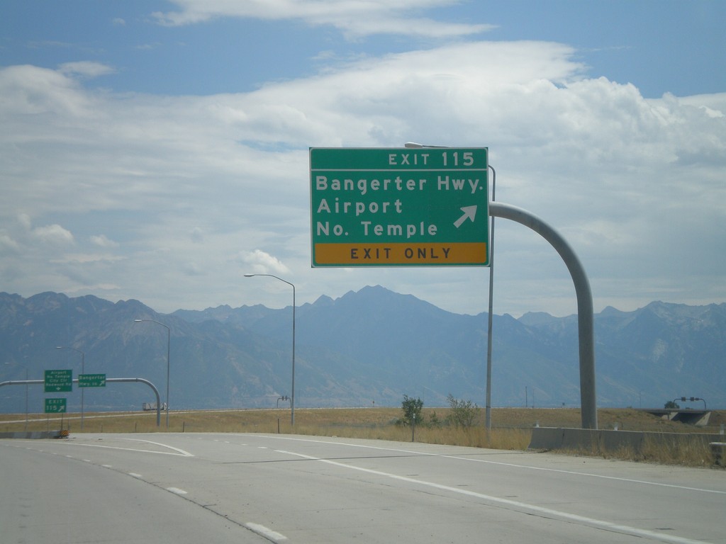
I-80 East - Exit 115
I-80 east at Exit 115 - Bangerter Highway/Airport/North Temple. Use Exit 115 for the Salt Lake City International Airport.
Taken 07-31-2010
 Salt Lake City
Salt Lake County
Utah
United States
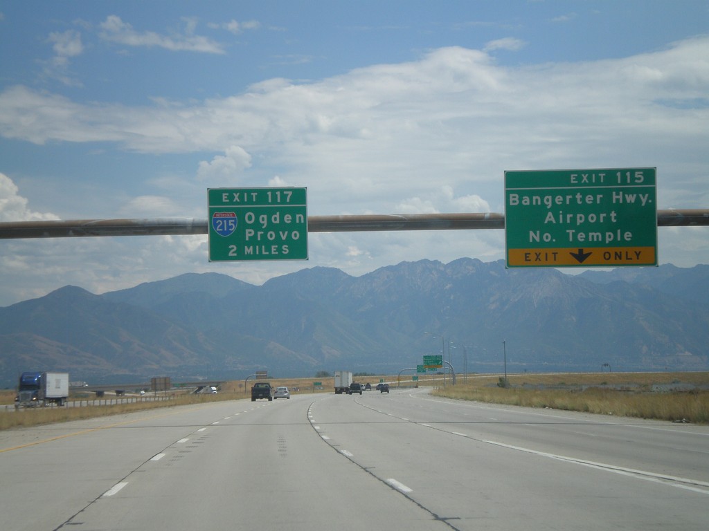
I-80 East - Exits 115 and Exit 117.
I-80 east at Exit 115 - Bangerter Highway/Airport/North Temple. Approaching Exit 117 - I-215/Ogden/Provo.
Taken 07-31-2010

 Salt Lake City
Salt Lake County
Utah
United States
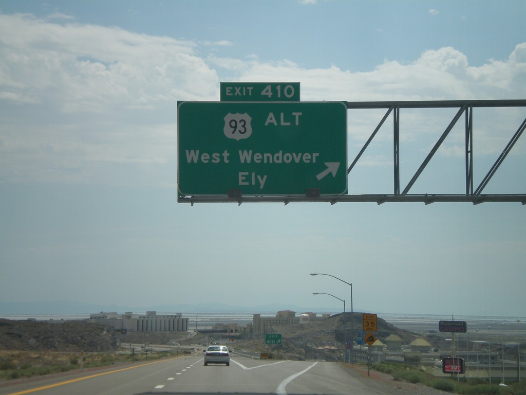
I-80 East - Exit 410
I-80 east at Exit 410 - US-93 Alt./West Wendover/Ely. This is the last exit in Nevada on I-80 east. This exit is the western end of the West Wendover/Wendover business loop. The casinos in West Wendover and the salt flats beyond are visible.
Taken 07-31-2010


 West Wendover
Elko County
Nevada
United States
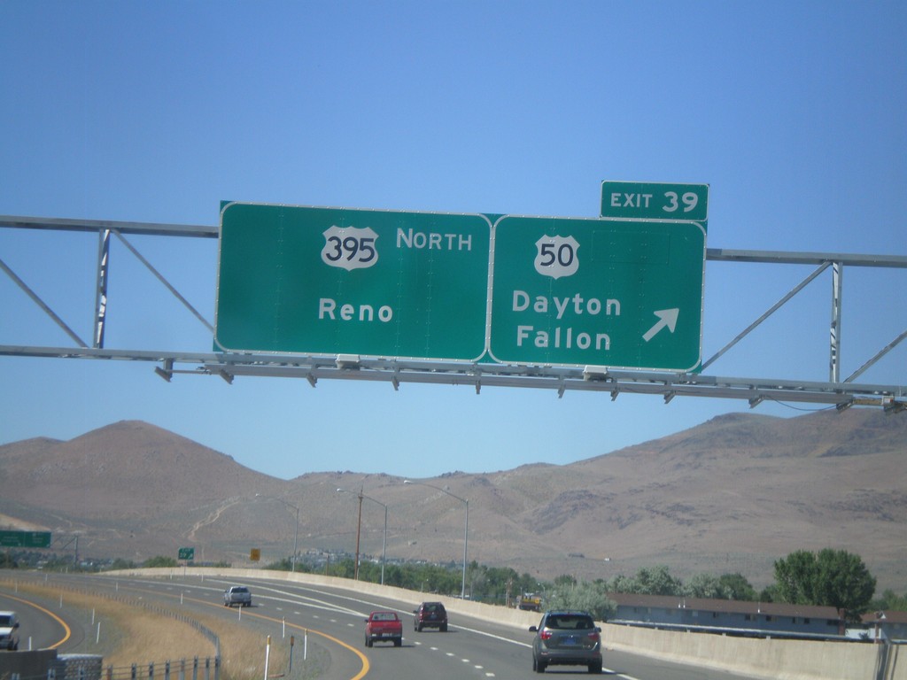
US-395 North - Exit 39
US-395 north at Exit 39 - US-50/Dayton/Fallon. Continue north on US-395 for Reno. The US-50/US-395 split ends here.
Taken 07-12-2010

 Carson City
Nevada
United States
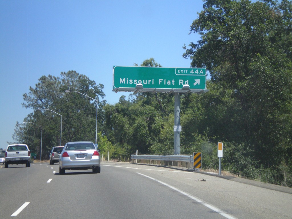
US-50 East - Exit 44A
US-50 east at Exit 44A - Missouri Flat Road.
Taken 07-12-2010
 Placerville
El Dorado County
California
United States
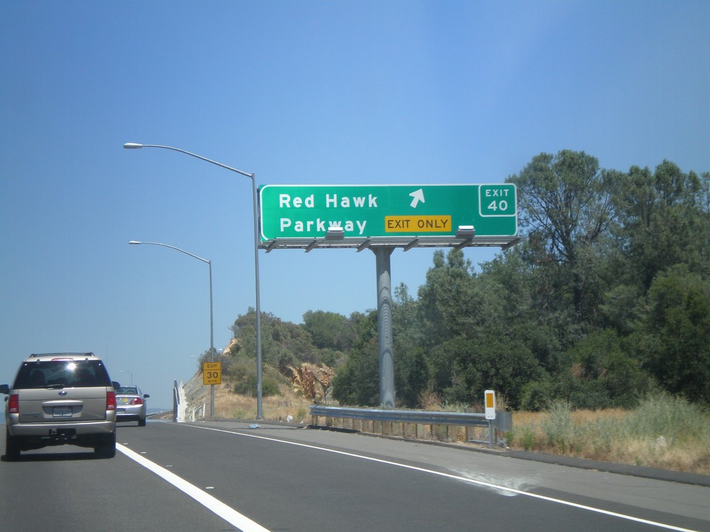
US-50 East - Exit 40
US-50 east at Exit 40 - Red Hawk Parkway.
Taken 07-12-2010
 Shingle Springs
El Dorado County
California
United States