Signs Tagged With Overhead
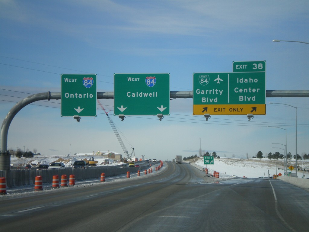
I-84 West - Exit 38
I-84 west at Exit 38 - BL-84/Garrity Blvd./Idaho Center Blvd. I-84 heads west towards Caldwell and Ontario (Oregon). Oddly, there are two different control cities for two different sets of lanes. Through Nampa, all through traffic is urged to use the left lanes, so it does not make since why Ontario bound traffic use the left most lane.
Taken 02-07-2011


 Nampa
Canyon County
Idaho
United States
Nampa
Canyon County
Idaho
United States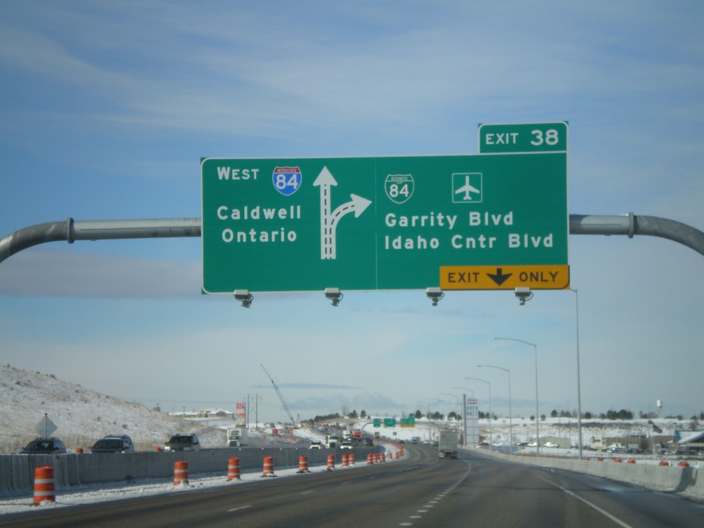
I-84 West - Exit 38
I-84/US-30 west at Exit 38 - BL-84/Garrity Blvd./Idaho Center Blvd. Westbound I-84 traffic continues towards Caldwell and Ontario (OR).
Taken 02-07-2011
Nampa
Canyon County
Idaho
United States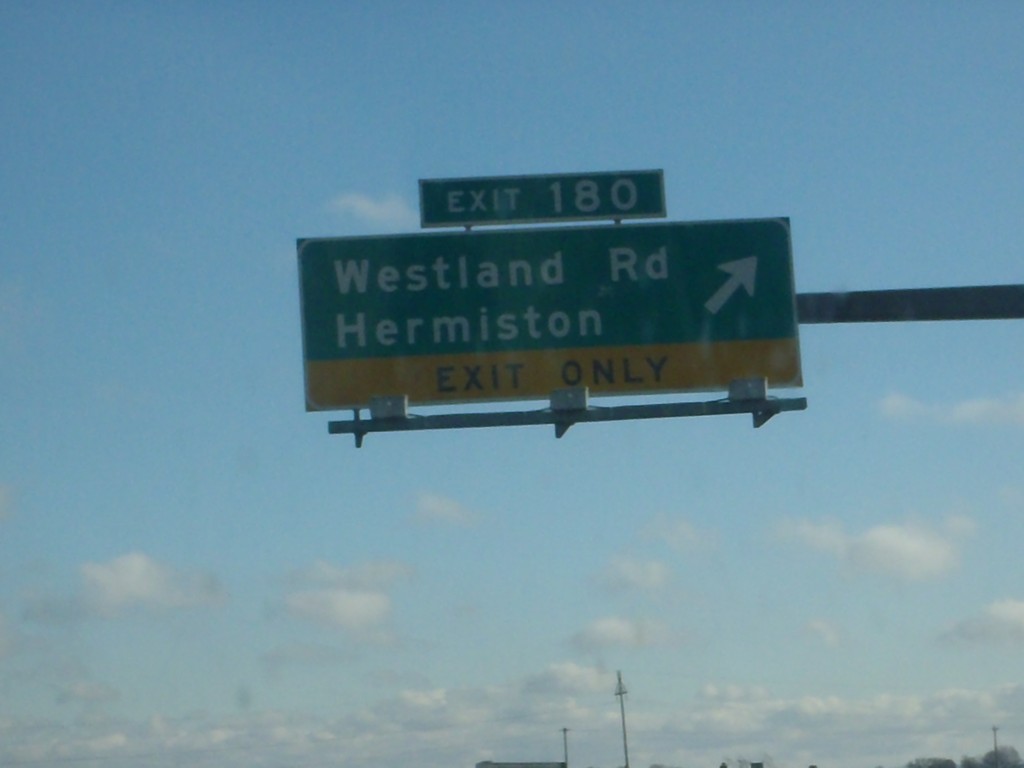
I-84 East - Exit 180
I-84 east at Exit 180 - Westland Road/Hermiston.
Taken 01-19-2011
Hermiston
Umatilla County
Oregon
United States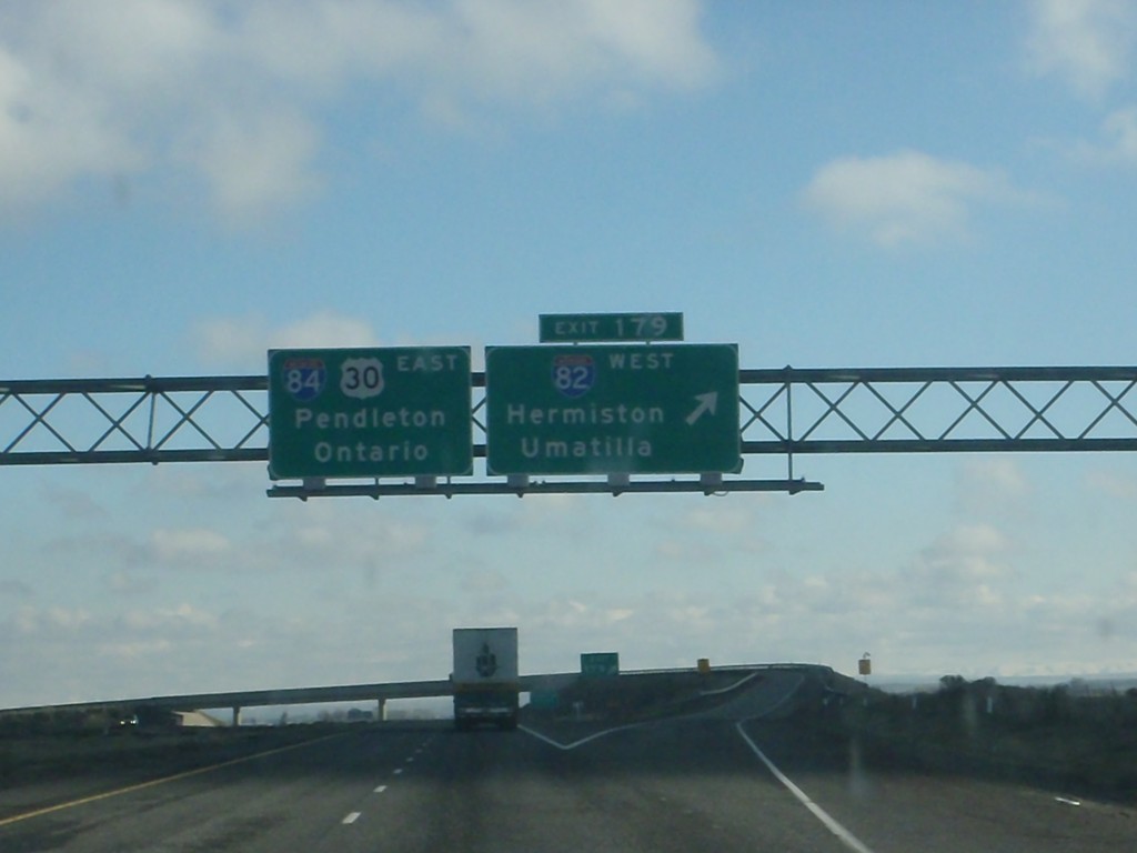
I-84 East - Exit 179
I-84 east at Exit 179 - I-82 West/Hermiston/Umatilla. I-84/US-30 continues east towards Pendleton and Ontario.
Taken 01-19-2011
 Hermiston
Umatilla County
Oregon
United States
Hermiston
Umatilla County
Oregon
United States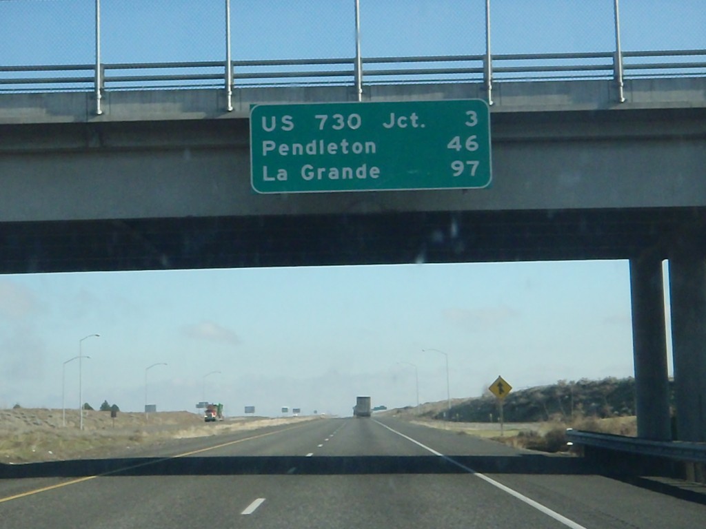
I-84 East - Distance Marker
Distance marker at Boardman Interchange. Distance to US-730 Jct., Pendleton, and La Grande.
Taken 01-19-2011
Boardman
Morrow County
Oregon
United States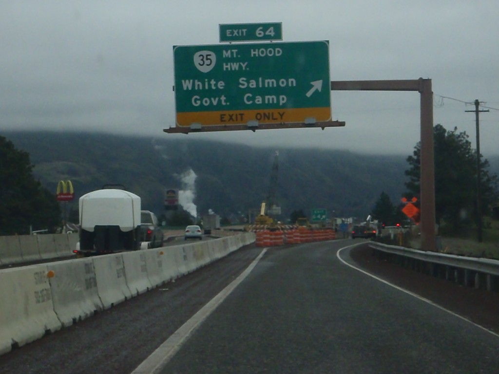
I-84 East - Exit 64
I-84 east at Exit 64 - OR-35/Mt. Hood Highway/White Salmon/Government Camp. OR-35 crosses the Columbia River north of here, connecting to White Salmon, Washington. The next crossing of the Columbia River eastbound is in The Dalles. Westbound, the next crossing is at Cascade Locks.
Taken 01-19-2011
 Hood River
 County
Oregon
United States
Hood River
Hood River County
Oregon
United States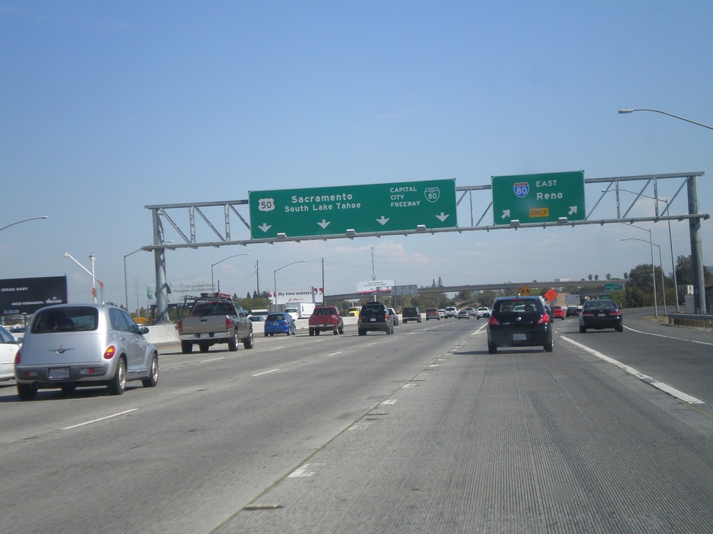
I-80 East - Exit 82
I-80 east at Exit 82 - BL-80/Capital City Freeway/Sacramento/US-50/South Lake Tahoe. Use right lanes for I-80 East to Reno. This is the western end of US-50.
Taken 10-01-2010


 West Sacramento
Yolo County
California
United States
West Sacramento
Yolo County
California
United States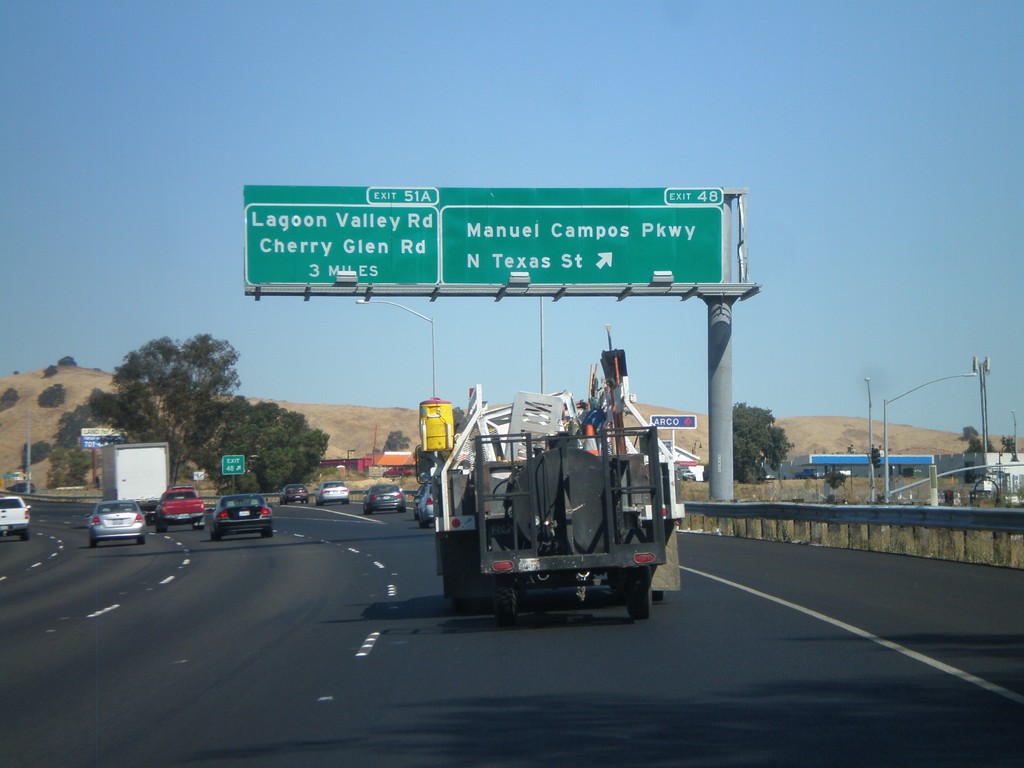
I-80 East - Exit 48
I-80 east at Exit 48 - N. Texas St./Manuel Campos Parkway. Approaching Exit 51A - Lagoon Valley Road/Cherry Glen Road.
Taken 10-01-2010
Fairfield
Solano County
California
United States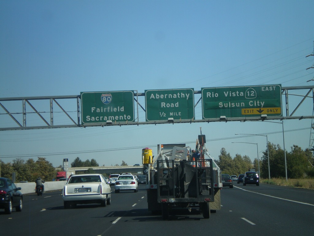
I-80 East - Exits 43 and 44A
I-80 east at Exit 43 - CA-12 East/Rio Vista/Suisun City. Approaching Exit 44A - Abernathy Road. I-80 continues east to Fairfield and Sacramento. CA-12 east leaves I-80 here and heads east across the north end of the delta.
Taken 10-01-2010
 Suisun City
Solano County
California
United States
Suisun City
Solano County
California
United States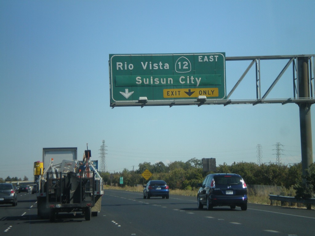
I-80 East Approaching Exit 43
I-80 east approaching Exit 43 - CA-12 East/Rio Vista/Suisun City.
Taken 10-01-2010
Fairfield
Solano County
California
United States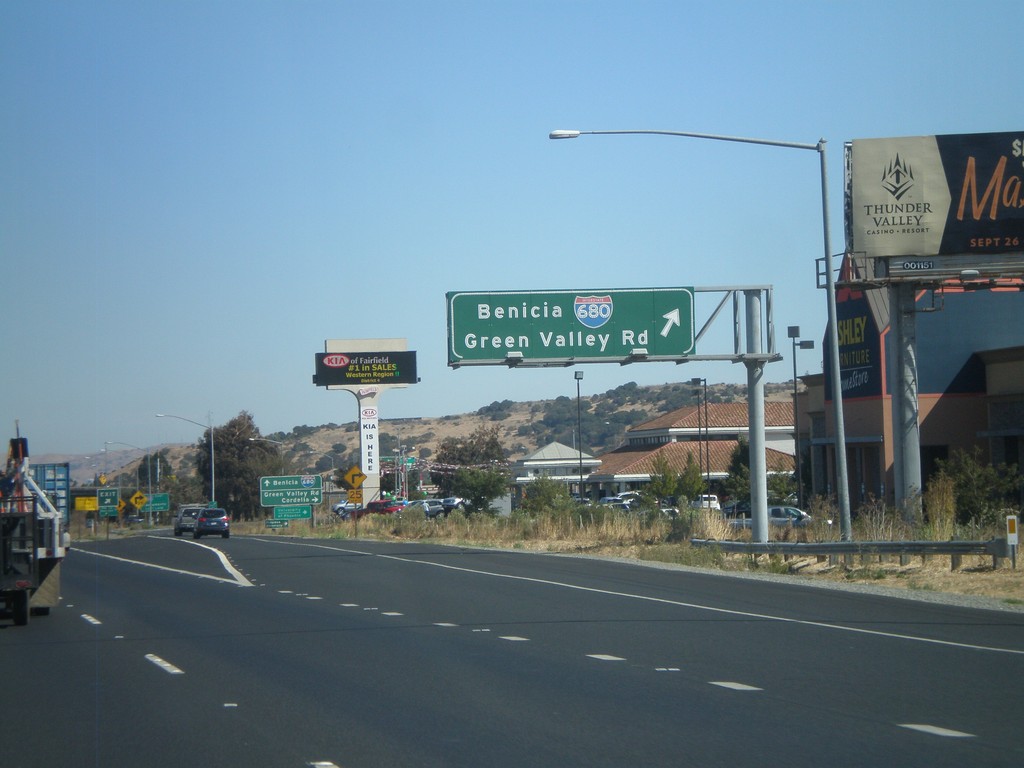
I-80 East - Exit 40
I-80 east at Exit 40 - I-680/Benicia/Green Valley Road. I-680 loops across the east side of the Bay Area, and ends in San Jose. This is the northern end of I-680.
Taken 10-01-2010
 Fairfield
Solano County
California
United States
Fairfield
Solano County
California
United States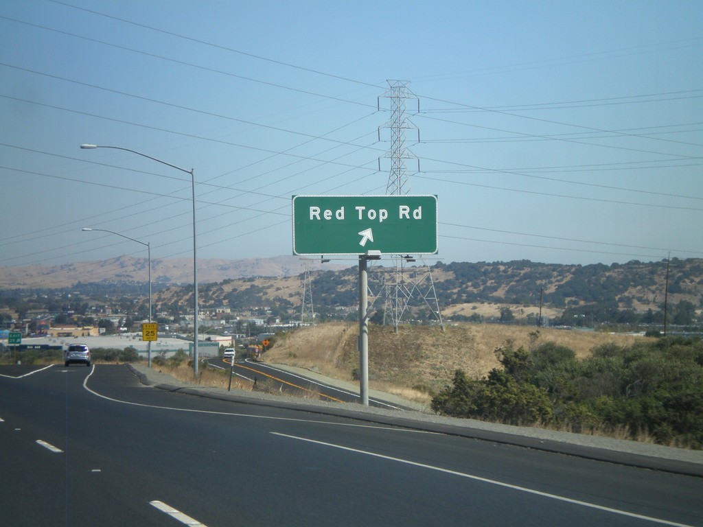
I-80 East - Exit 39
I-80 east at Exit 39 - Red Top Road.
Taken 10-01-2010
Fairfield
Solano County
California
United States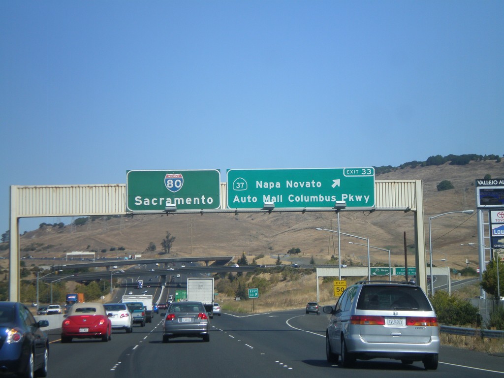
I-80 East - Exit 33
I-80 east at Exit 33 - CA-37/Napa/Novato/Auto Mall/Columbus Parkway. I-80 east continues to Sacramento.
Taken 10-01-2010
 Vallejo
Solano County
California
United States
Vallejo
Solano County
California
United States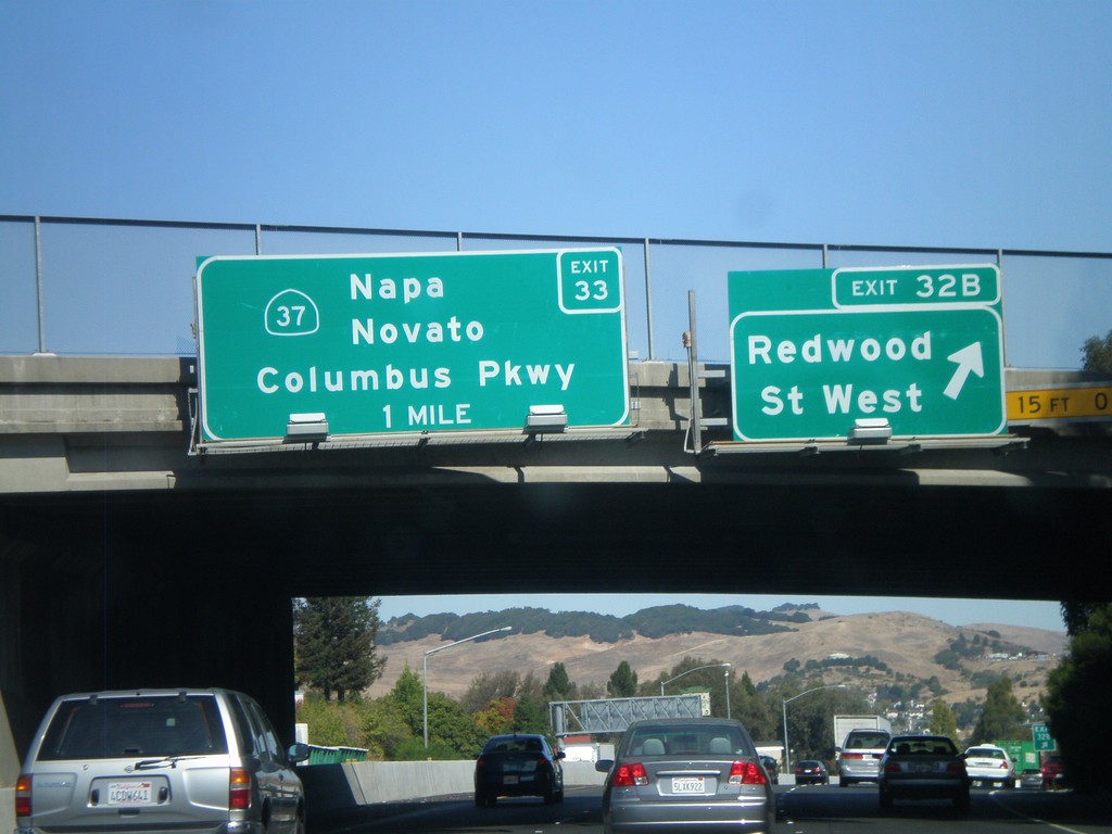
I-80 East - Exit 32B and Exit 33
I-80 east at Exit 32B - Redwood St West. Approaching Exit 33 - CA-37/Napa/Novato/Columbus Parkway.
Taken 10-01-2010
Vallejo
Solano County
California
United States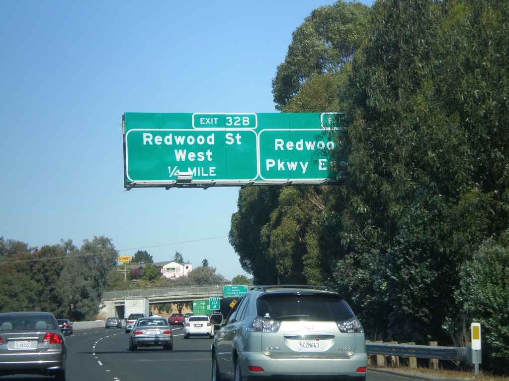
I-80 East - Exits 32A and 32B
I-80 east at Exit 32A - Redwood Parkway East. Approaching Exit 32B - Redwood St West.
Taken 10-01-2010
Vallejo
Solano County
California
United States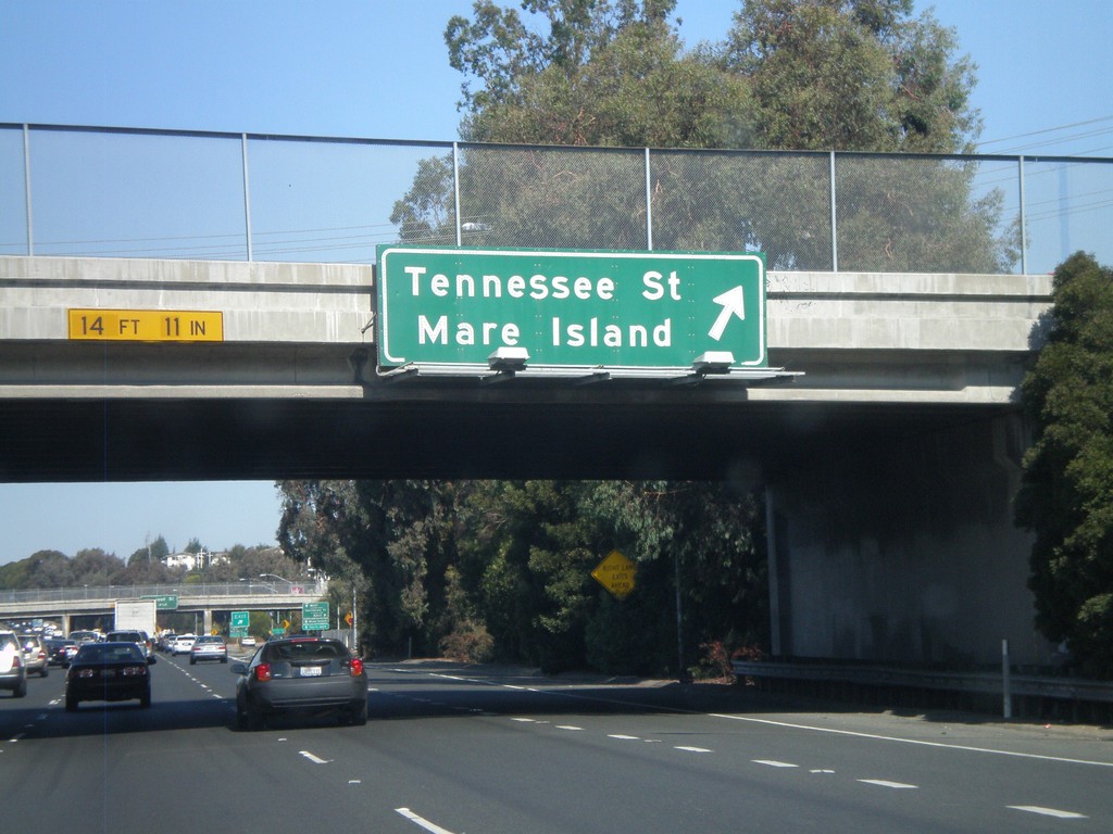
I-80 East - Exit 31B
I-80 east at Exit 31B - Tennessee St/Mare Island.
Taken 10-01-2010
Vallejo
Solano County
California
United States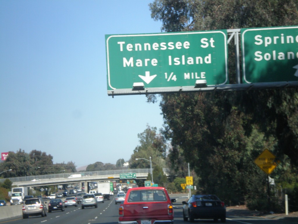
I-80 East - Exits 31A and 31B
I-80 east at Exit 31A - Springs Road/Solano Ave. Approaching Exit 31B - Tennessee St/Mare Island.
Taken 10-01-2010
Vallejo
Solano County
California
United States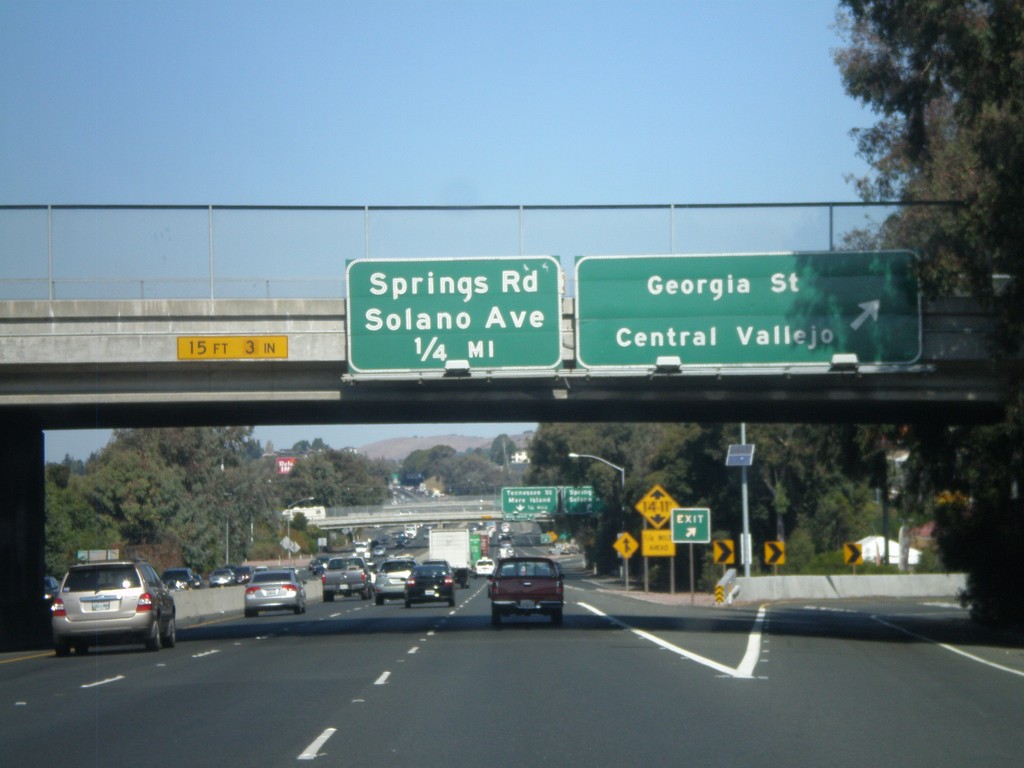
I-80 East - Exits 30C and 31A
I-80 east at Exit 30C - Georgia St/Central Vallejo. Approaching Exit 31A - Springs Road/Solano Ave.
Taken 10-01-2010
Vallejo
Solano County
California
United States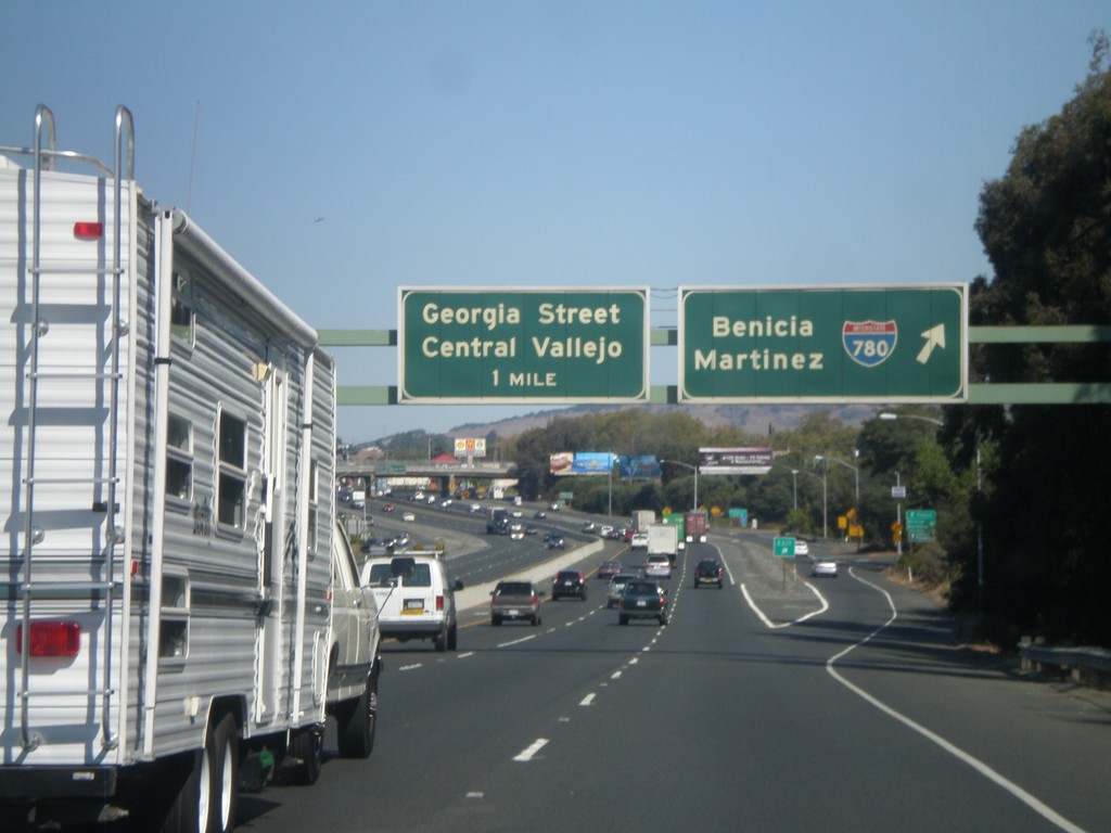
I-80 East - Exits 30A and 30C
I-80 east at Exit 30A - I-780/Benicia/Martinez. Approaching Exit 30C - Georgia St/Central Vallejo.
Taken 10-01-2010
 Vallejo
Solano County
California
United States
Vallejo
Solano County
California
United States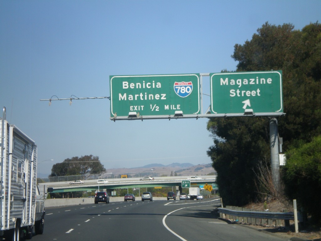
I-80 East - Exits 29C and 30A
I-80 east at Exit 29C - Magazine St. Approaching Exit 30A - I-780/Benicia/Martinez.
Taken 10-01-2010
Vallejo
Solano County
California
United States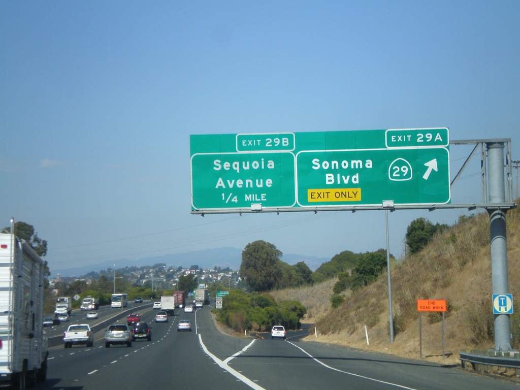
I-80 East - Exits 29A and 29B
I-80 east at Exit 29A - CA-29 North/Sonoma Blvd. Approaching Exit 29B - Sequoia Ave. This is the southern end of CA-29, which is one of the main highways through the Napa Valley.
Taken 10-01-2010
 Vallejo
Solano County
California
United States
Vallejo
Solano County
California
United States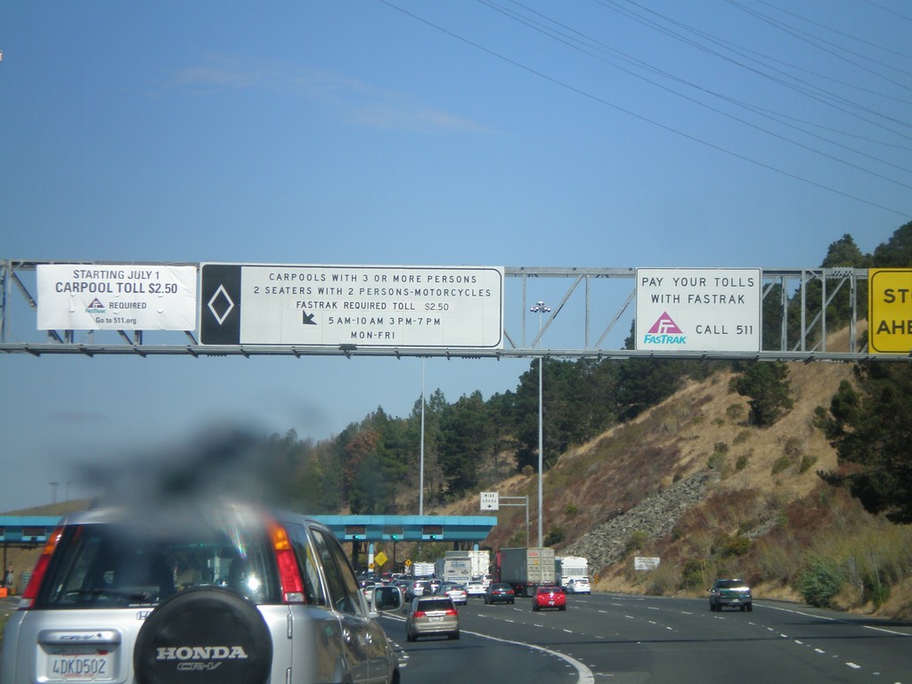
I-80 East - Carquinez Bridge Toll Plaza
Approaching the Carquinez Bridge Toll Plaza on I-80 east. When this photo was taken in Fall 2010, the auto toll was $5.00. The Carquinez Bridge crosses the Carquinez Straits, through which the Sacramento and San Joaquin Delta empty into, before reaching the San Pablo Bay.
Taken 10-01-2010
Vallejo
Solano County
California
United States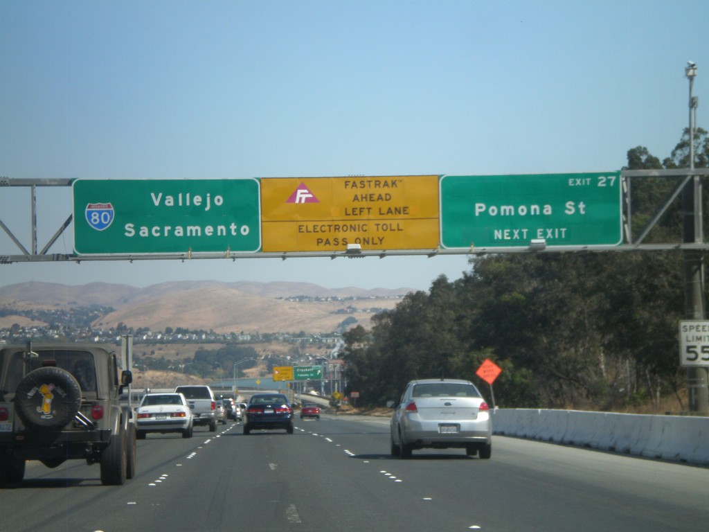
I-80 East - Exit 27
I-80 east approaching Exit 27 - Pomona St. After this exit the highway enters the Carquinez Bridge over the Carquinez Straits, which feeds the Sacramento and San Joaquin Rivers into the San Francisco Bay. Use the left lanes for Fastrak, an electronic tolling system used in California.
Taken 10-01-2010
Crockett
Contra Costa County
California
United States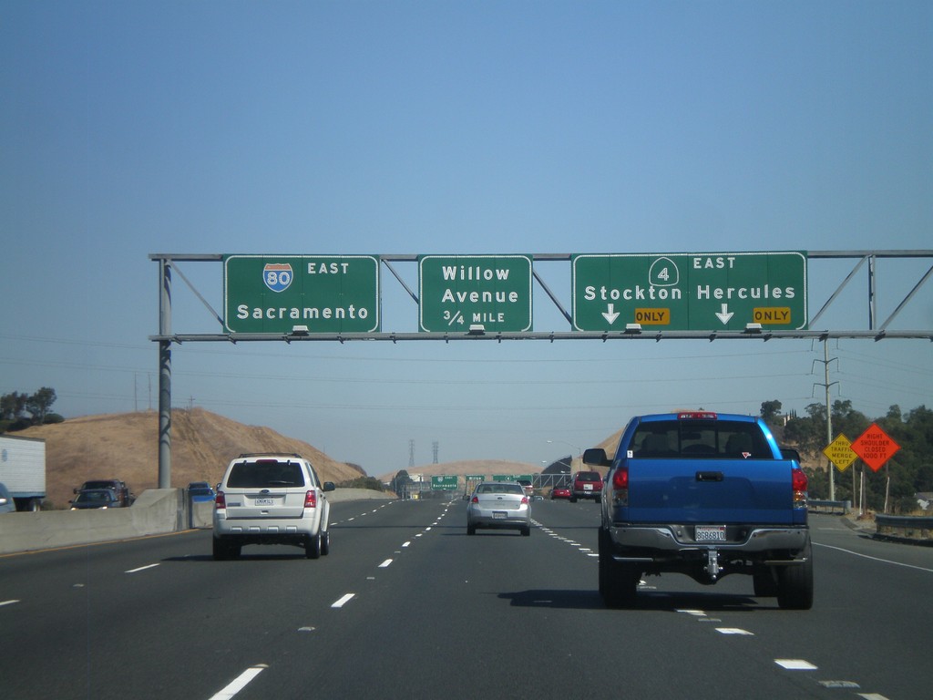
I-80 East - Exits 23 and 24
I-80 east at Exit 23 - CA-4 East/Hercules/Stockton. Approaching Exit 24 - Willow Ave. This is the western end of CA-4, which follows the south side of the Carquinez Straits towards Stockton. CA-4 is a trans-Sierra highway, crossing at Ebbetts Pass. I-80 continues east towards Sacramento.
Taken 10-01-2010
 Hercules
Contra Costa County
California
United States
Hercules
Contra Costa County
California
United States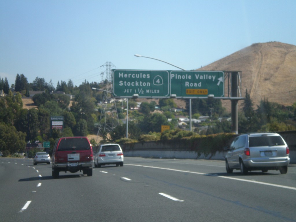
I-80 East - Exits 22 and 23
I-80 east at Exit 22 - Pinole Valley Road. Approaching Exit 23 - CA-4/Stockton/Hercules.
Taken 10-01-2010
Pinole
Contra Costa County
California
United States