Signs Tagged With Overhead
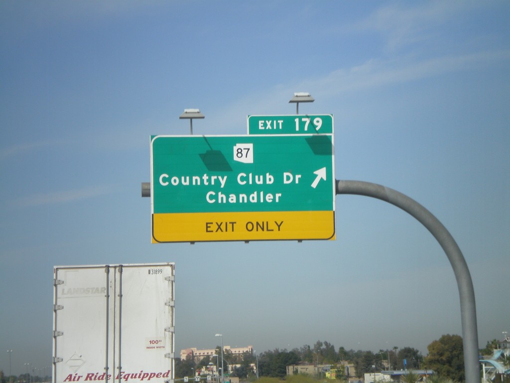
US-60 West - Exit 179
US-60 west at Exit 179 - AZ-87/Country Club Drive/Chandler
Taken 03-22-2010

 Mesa
Maricopa County
Arizona
United States
Mesa
Maricopa County
Arizona
United States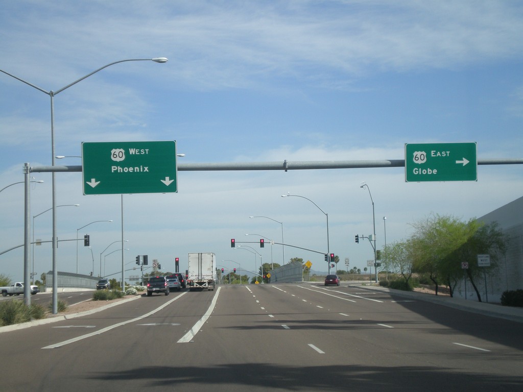
Mesa Drive North at US-60
Mesa Drive north at US-60. Use US-60 west for Phoenix. Use US-60 east for Globe.
Taken 03-22-2010
Mesa
Maricopa County
Arizona
United States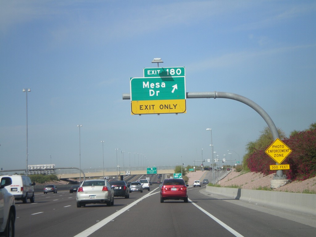
US-60 West - Exit 180
US-60 west at Exit 180 - Mesa Drive
Taken 03-22-2010
Mesa
Maricopa County
Arizona
United States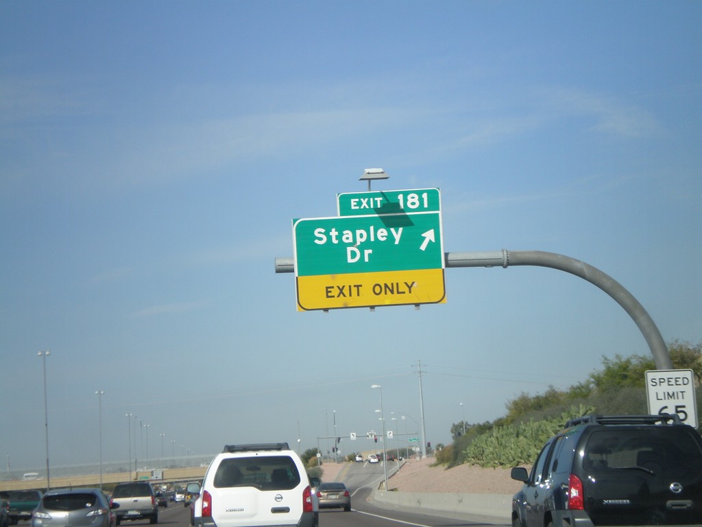
US-60 West - Exit 181
US-60 west at Exit 181 - Stapley Drive
Taken 03-22-2010
Mesa
Maricopa County
Arizona
United States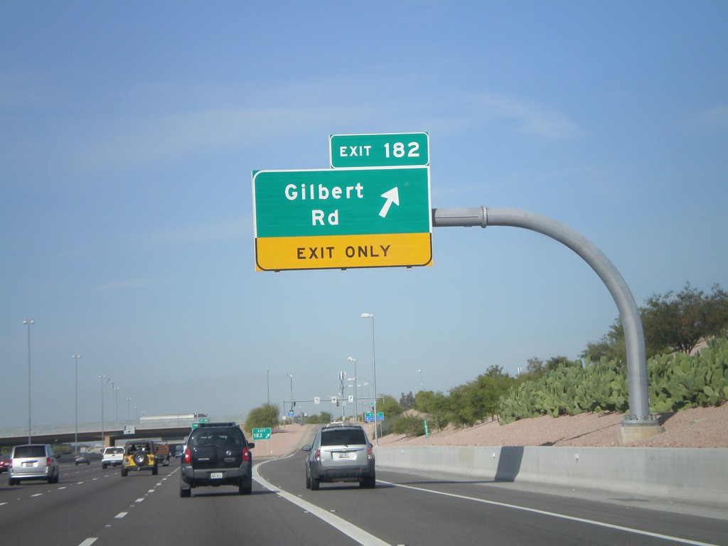
US-60 West - Exit 182
US-60 west at Exit 182 - Gilbert Road
Taken 03-22-2010
Mesa
Maricopa County
Arizona
United States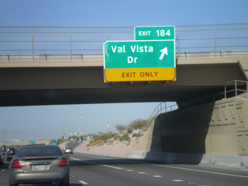
US-60 West - Exit 184
US-60 west at Exit 184 - Val Vista Drive.
Taken 03-22-2010
Mesa
Maricopa County
Arizona
United States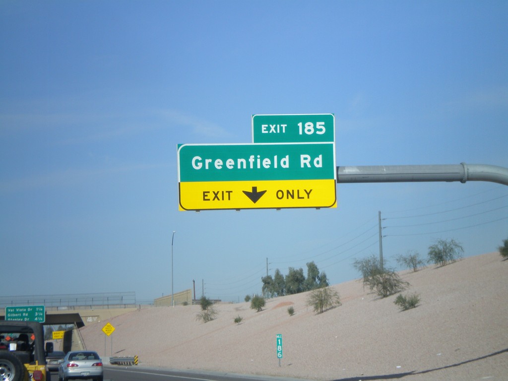
US-60 West - Exit 185
US-60 west at Exit 185 - Greenfield Road
Taken 03-22-2010
Mesa
Maricopa County
Arizona
United States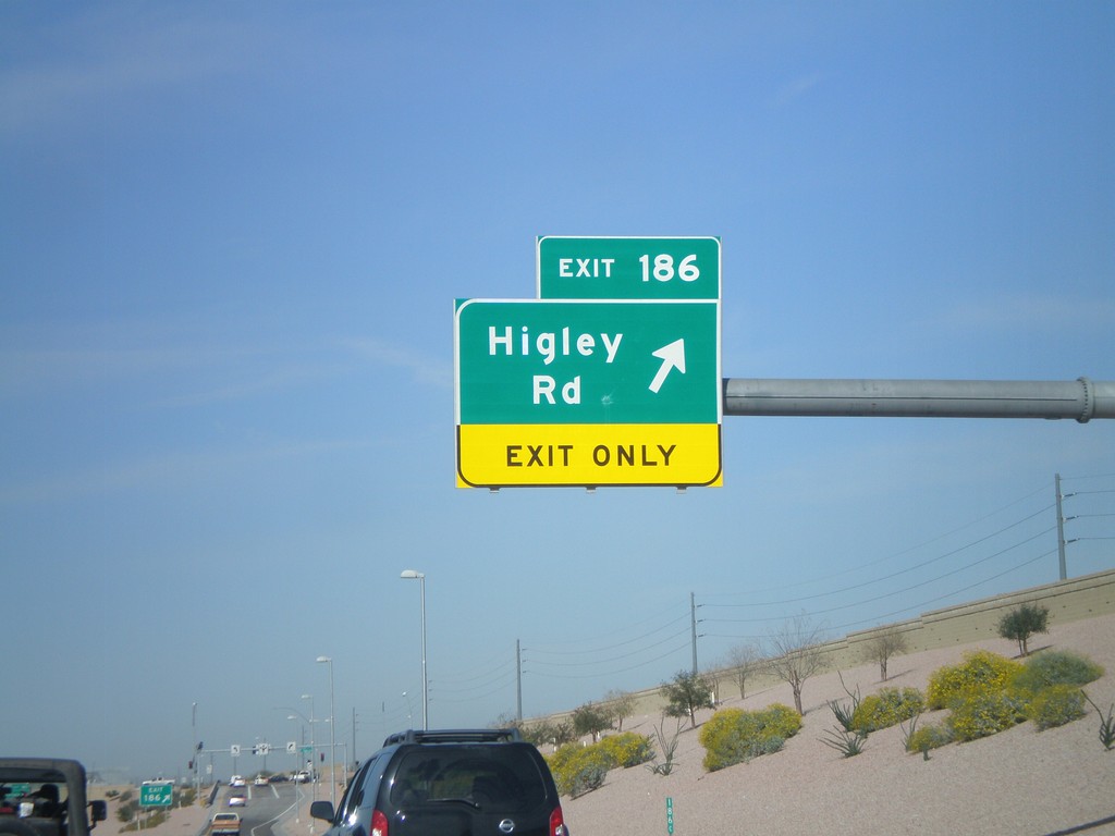
US-60 West - Exit 186
US-60 west at Exit 186 - Higley Road.
Taken 03-22-2010
Mesa
Maricopa County
Arizona
United States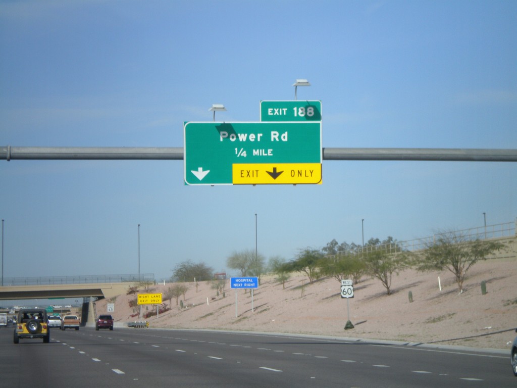
US-60 West Approaching Exit 188
US-60 west approaching Exit 188 - Power Road.
Taken 03-22-2010
Mesa
Maricopa County
Arizona
United States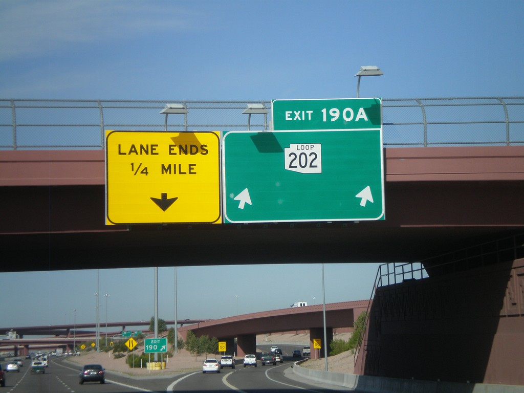
US-60 West - Exit 190A
US-60 west at Exit 190A - AZ-202 Loop. This is the eastern extent of the AZ-202 Loop.
Taken 03-22-2010
 Mesa
Maricopa County
Arizona
United States
Mesa
Maricopa County
Arizona
United States
US-60 West - Exits 191 and 190A
US-60 west at Exit 191 - Ellsworth Road. Approaching Exit 190A - AZ-202 Loop.
Taken 03-22-2010
Mesa
Maricopa County
Arizona
United States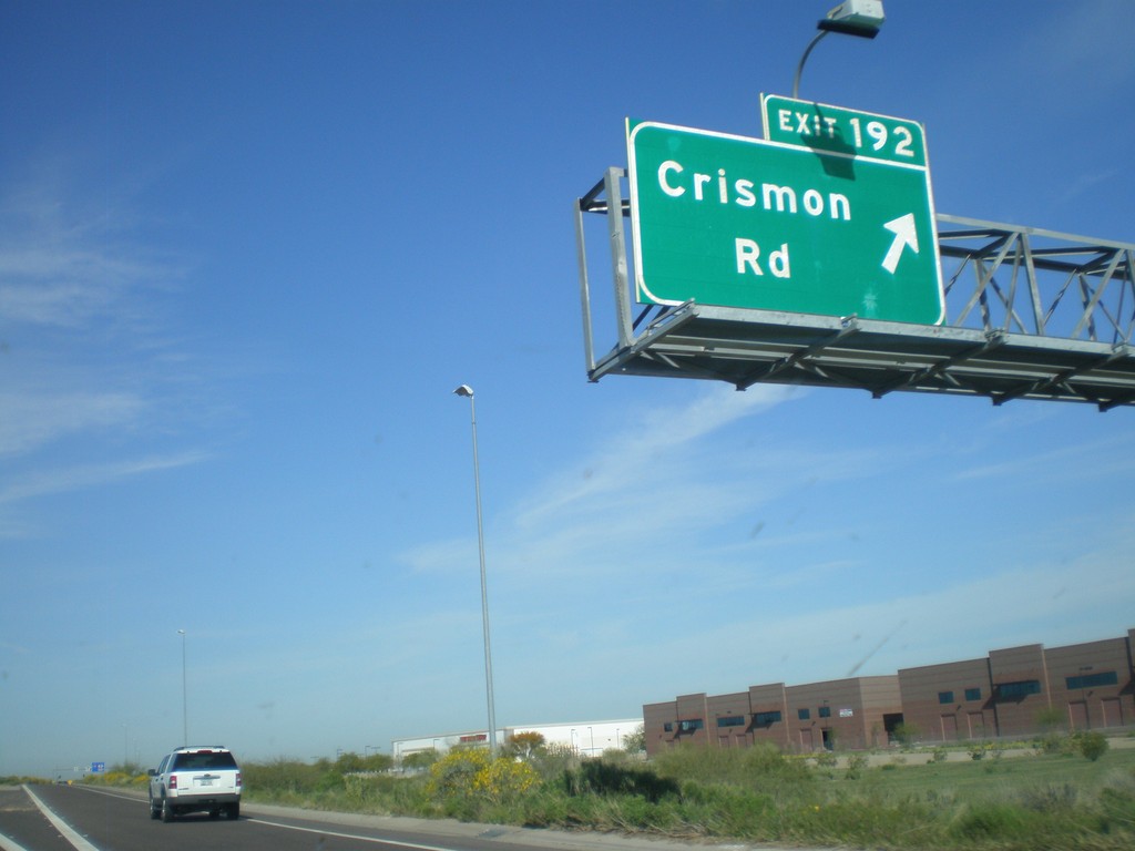
US-60 West - Exit 192
US-60 west at Exit 192 - Crismon Road.
Taken 03-22-2010
Mesa
Maricopa County
Arizona
United States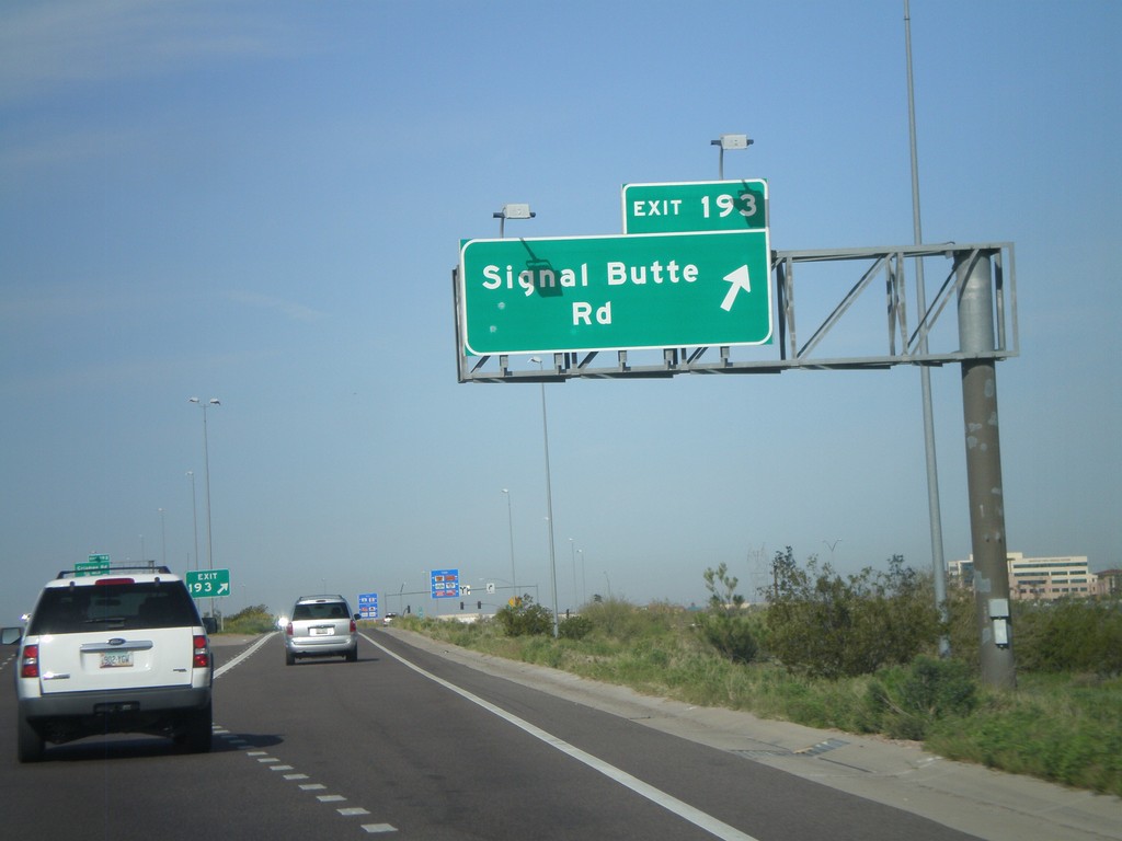
US-60 West - Exit 193
US-60 west at Exit 193 - Signal Butte Road.
Taken 03-22-2010
Mesa
Maricopa County
Arizona
United States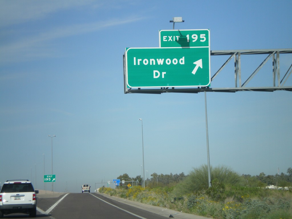
US-60 West - Exit 195
US-60 west at Exit 195 - Ironwood Road.
Taken 03-22-2010
Apache Junction
Pinal County
Arizona
United States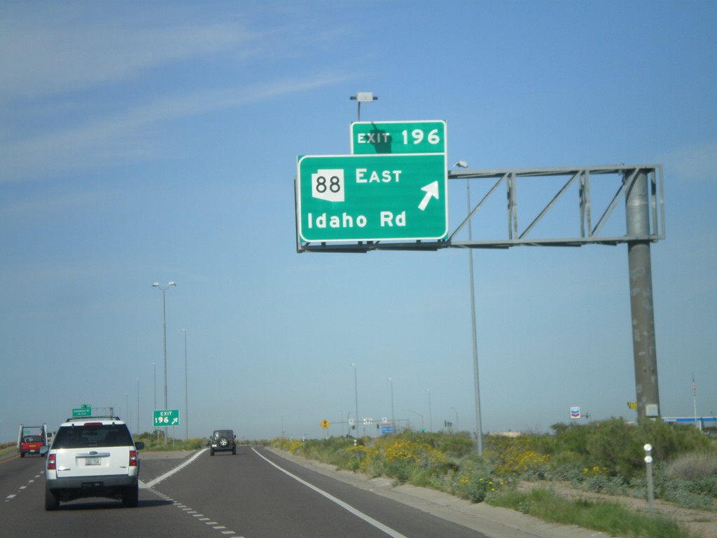
US-60 West - Exit 196
US-60 west at Exit 196 - AZ-88 East/Idaho Road
Taken 03-22-2010
 Apache Junction
Pinal County
Arizona
United States
Apache Junction
Pinal County
Arizona
United States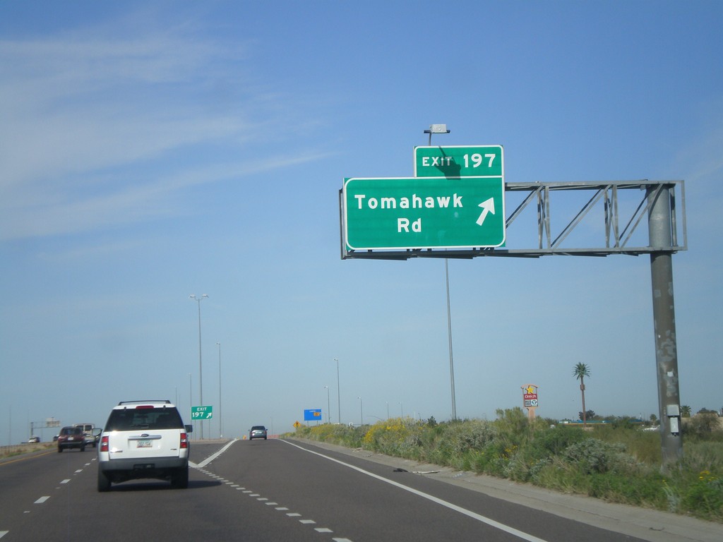
US-60 West - Exit 197
US-60 west at Exit 197 - Tomahawk Road
Taken 03-22-2010
Apache Junction
Pinal County
Arizona
United States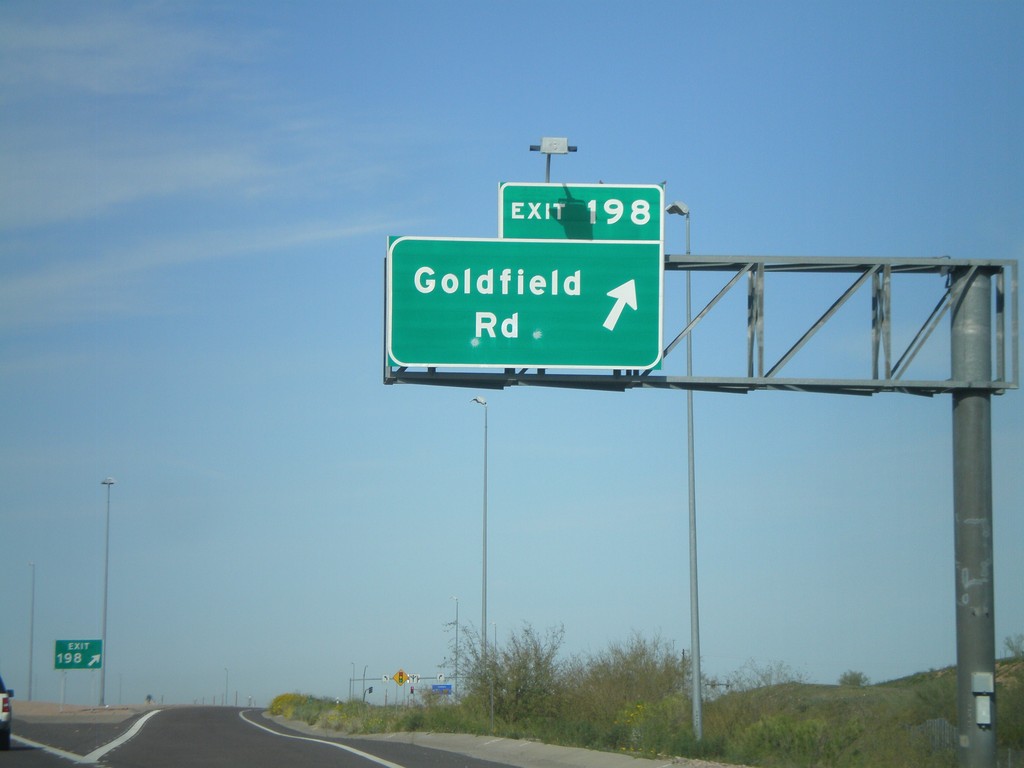
US-60 West - Exit 198
US-60 west at Exit 198 - Goldfield Road.
Taken 03-22-2010
Apache Junction
Pinal County
Arizona
United States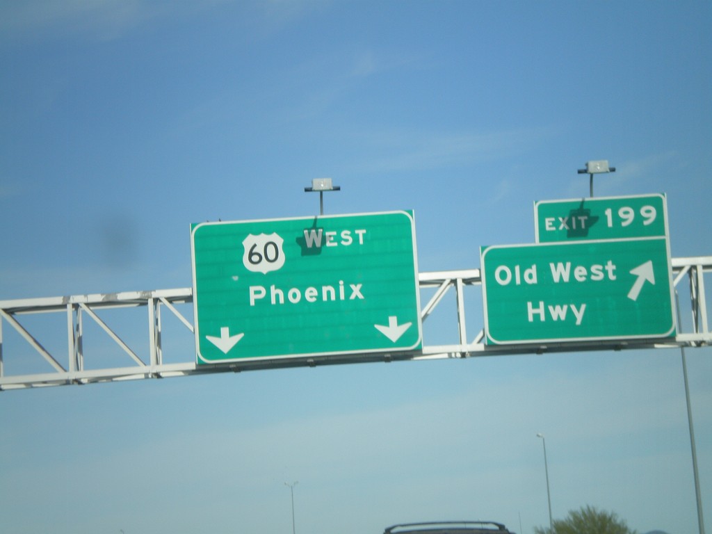
US-60 West - Exit 199
US-60 west at Exit 199 - Old West Highway
Taken 03-22-2010
Apache Junction
Pinal County
Arizona
United States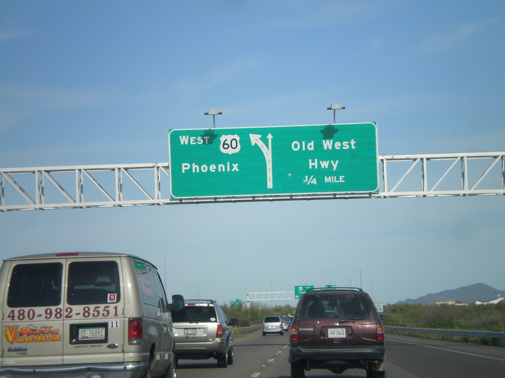
US-60 West Approaching Exit 199
US-60 west approaching Exit 199 - Old West Highway
Taken 03-22-2010
Apache Junction
Pinal County
Arizona
United States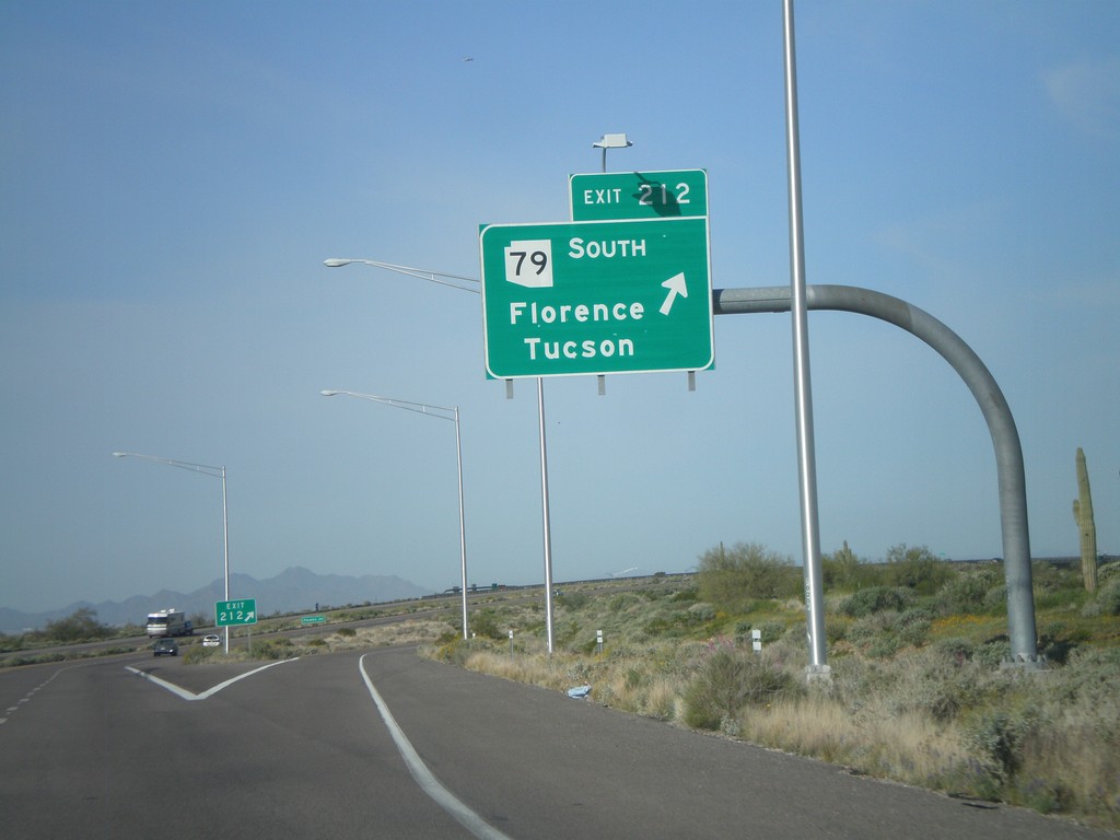
US-60 West - Exit 212
US-60 west at Exit 212 - AZ-79 South/Florence/Tucson.
Taken 03-22-2010
 Queen Valley
Pinal County
Arizona
United States
Queen Valley
Pinal County
Arizona
United States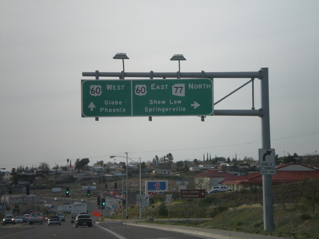
US-70 West/AZ-77 North at US-60/AZ-77
US-70 west at US-60/AZ-77 junction. Use US-60 East/AZ-77 North for Show Low and Springerville. Use US-60 west for Globe and Phoenix. This is the western end of US-70.
Taken 03-21-2010

 Globe
Gila County
Arizona
United States
Globe
Gila County
Arizona
United States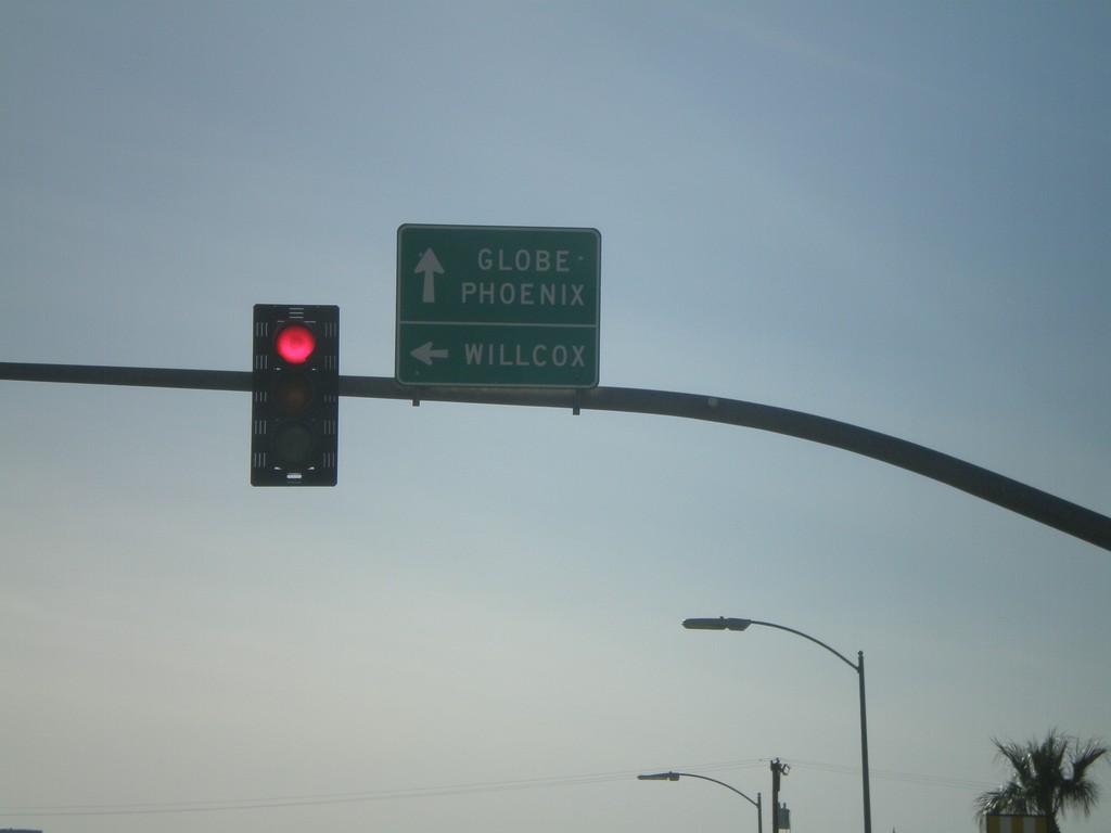
US-70 West at US-191 South
US-70 west at US-191 south. Use US-70 west for Globe and Phoenix. Use US-191 South for Willcox.
Taken 03-21-2010
 Safford
Graham County
Arizona
United States
Safford
Graham County
Arizona
United States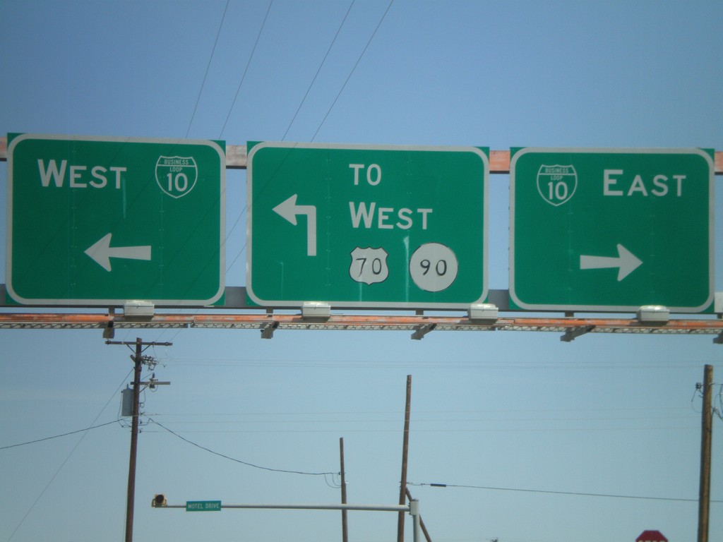
NM-494 North at BL-10/US-70/NM-90
NM-494 north at BL-10/US-70 and NM-90.
Taken 03-21-2010


 Lordsburg
Hidalgo County
New Mexico
United States
Lordsburg
Hidalgo County
New Mexico
United States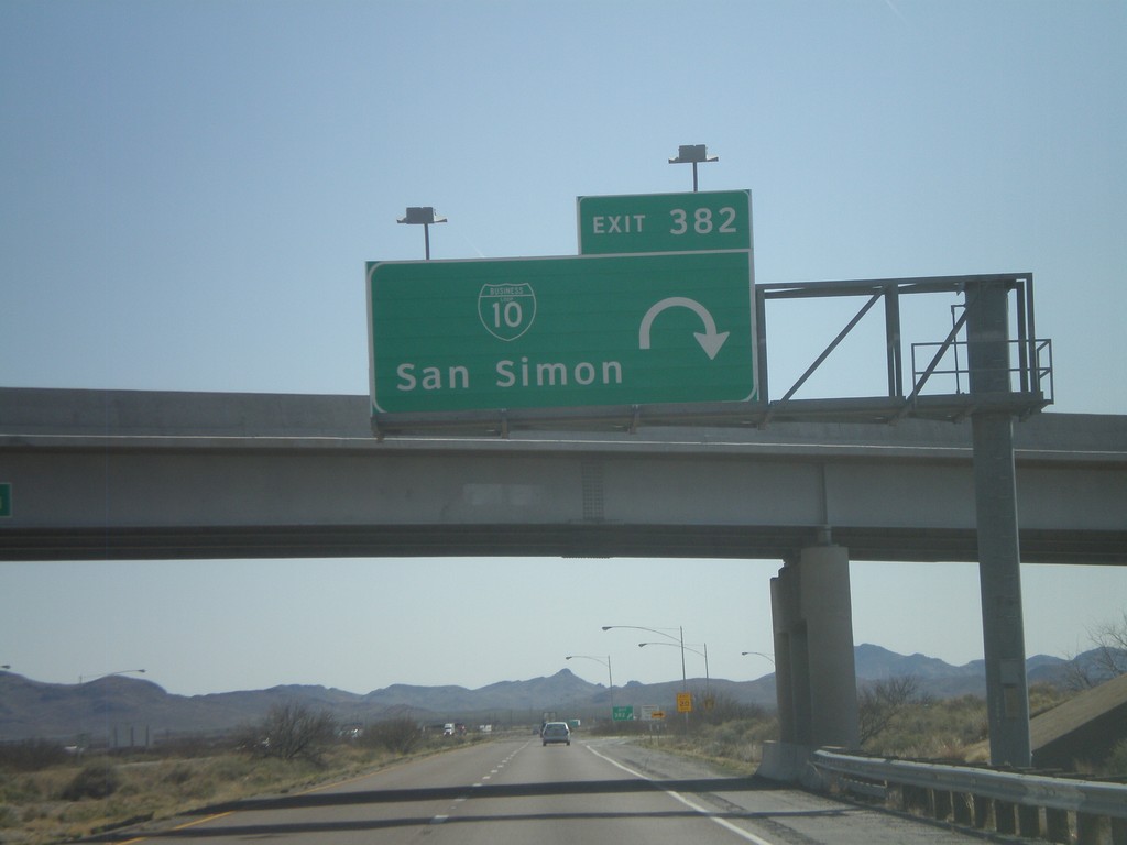
I-10 East - Exit 382
I-10 east at Exit 382 - BL-10/San Simon
Taken 03-21-2010
 San Simon
Cochise County
Arizona
United States
San Simon
Cochise County
Arizona
United States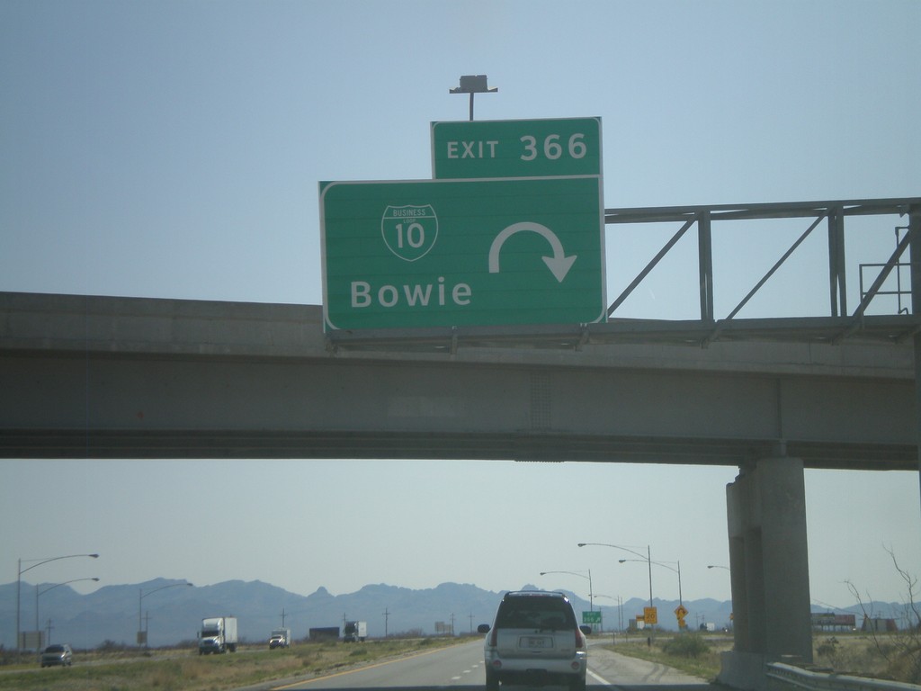
I-10 East - Exit 366
I-10 east at Exit 366 - BL-10/Bowie.
Taken 03-21-2010
Bowie
Cochise County
Arizona
United States