Signs Tagged With Overhead
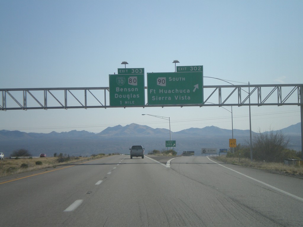
I-10 East - Exits 302 and 303
I-10 east at Exit 302 - AZ-90 South/Fort Huachuca/Sierra Vista. Approaching Exit 303 - BL-10/AZ-80/Benson/Douglas.
Taken 03-21-2010


 Benson
Cochise County
Arizona
United States
Benson
Cochise County
Arizona
United States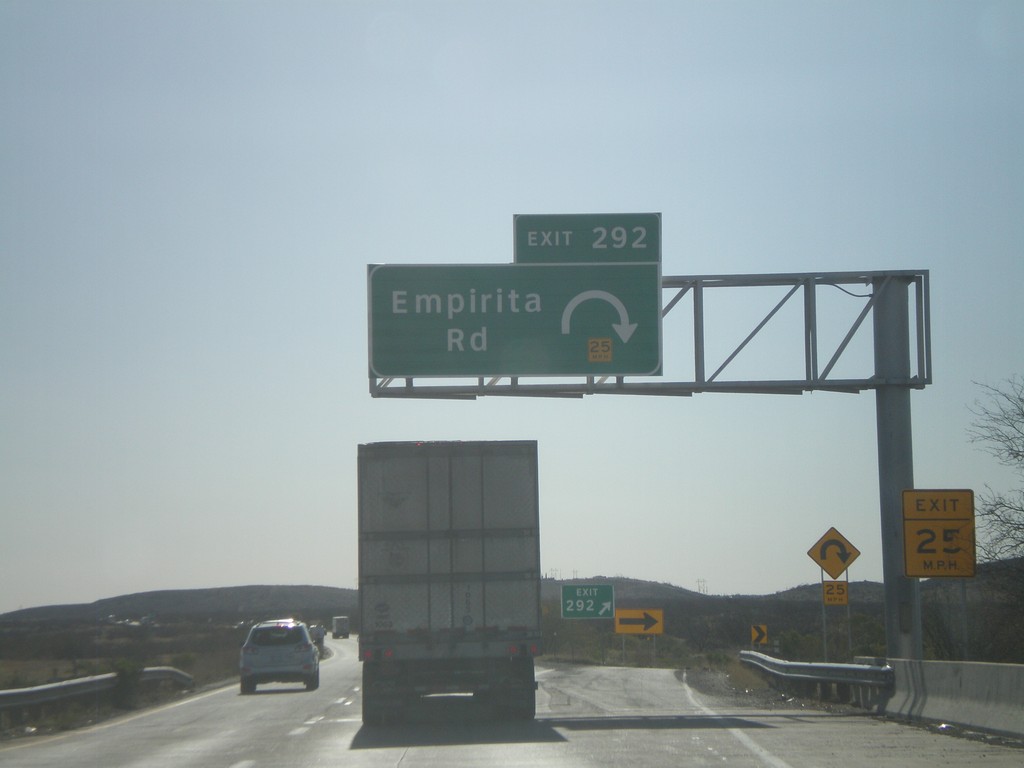
I-10 East - Exit 292
I-10 east at Exit 292 - Empirita Road.
Taken 03-21-2010
Pimaco Two
Pima County
Arizona
United States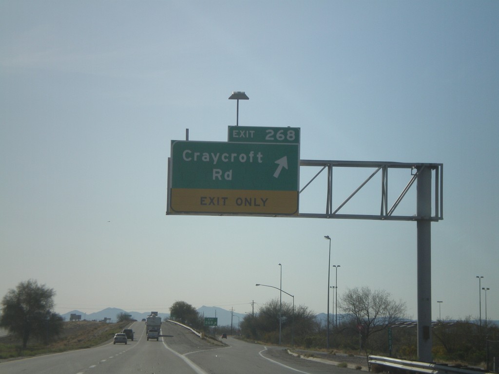
I-10 East - Exit 268
I-10 east at Exit 268 - Craycroft Road.
Taken 03-21-2010
Tucson
Pima County
Arizona
United States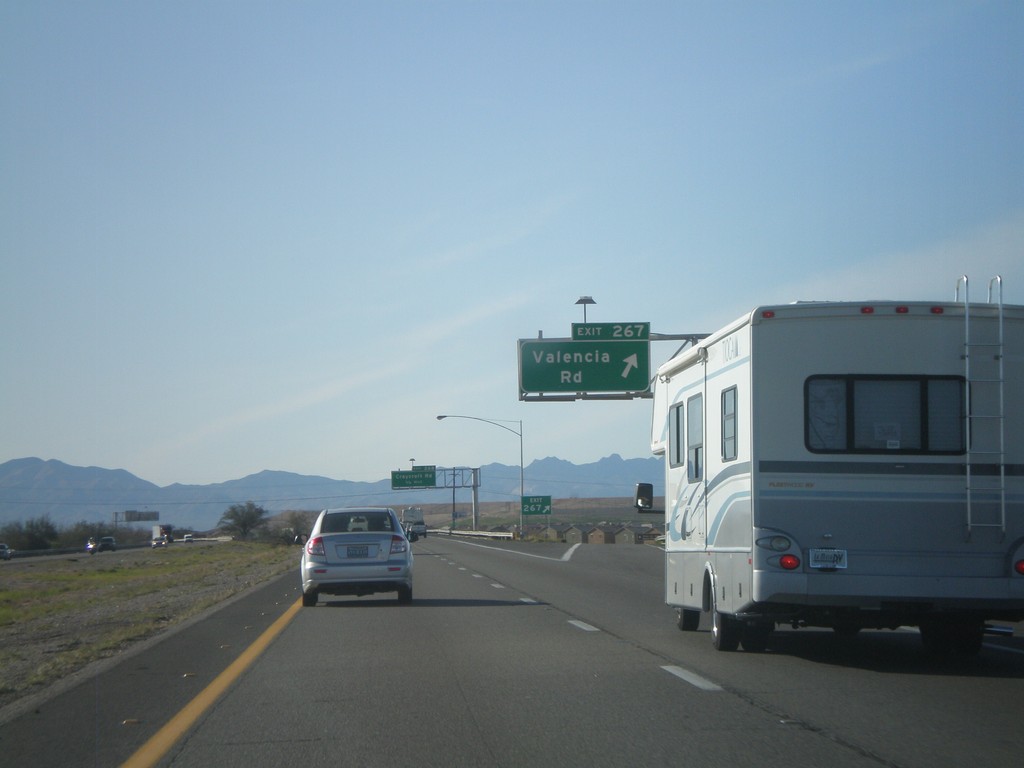
I-10 East - Exit 267
I-10 east at Exit 267 - Valencia Road.
Taken 03-21-2010
Tucson
Pima County
Arizona
United States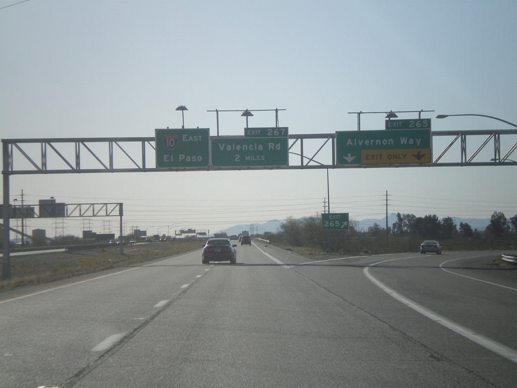
I-10 East - Exit 265
I-10 east at Exit 265 - Alvernon Way. Approaching Exit 267 - Valencia Road. I-10 continues east towards El Paso.
Taken 03-21-2010
Tucson
Pima County
Arizona
United States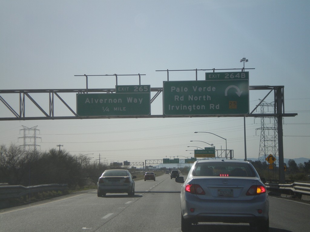
I-10 East - Exits 264B and Exit 265
I-10 east at Exit 264B - Palo Verde Road North/Irvington Road. Approaching Exit 265 - Alvernon Way.
Taken 03-21-2010
Tucson
Pima County
Arizona
United States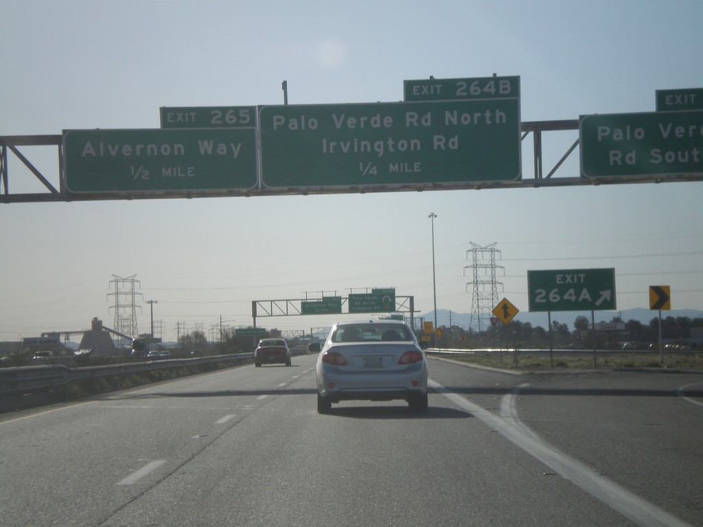
I-10 East - Exits 264AB and Exit 265
I-10 east at Exit 264A - Palo Verde Road South. Approaching Exit 264B - Palo Verde Road North/Irvington Road. Also approaching Exit 265 - Alvernon Way.
Taken 03-21-2010
Tucson
Pima County
Arizona
United States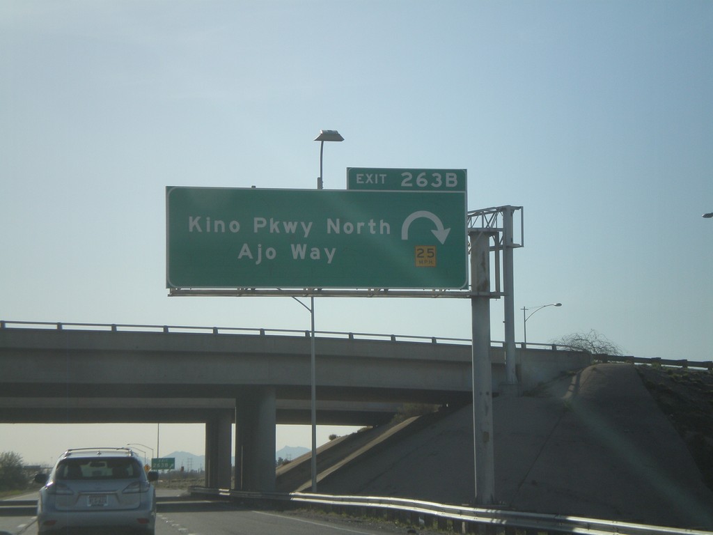
I-10 East - Exit 263B
I-10 east at Exit 263B - Kino Parkway North/Ajo Way.
Taken 03-21-2010
Tucson
Pima County
Arizona
United States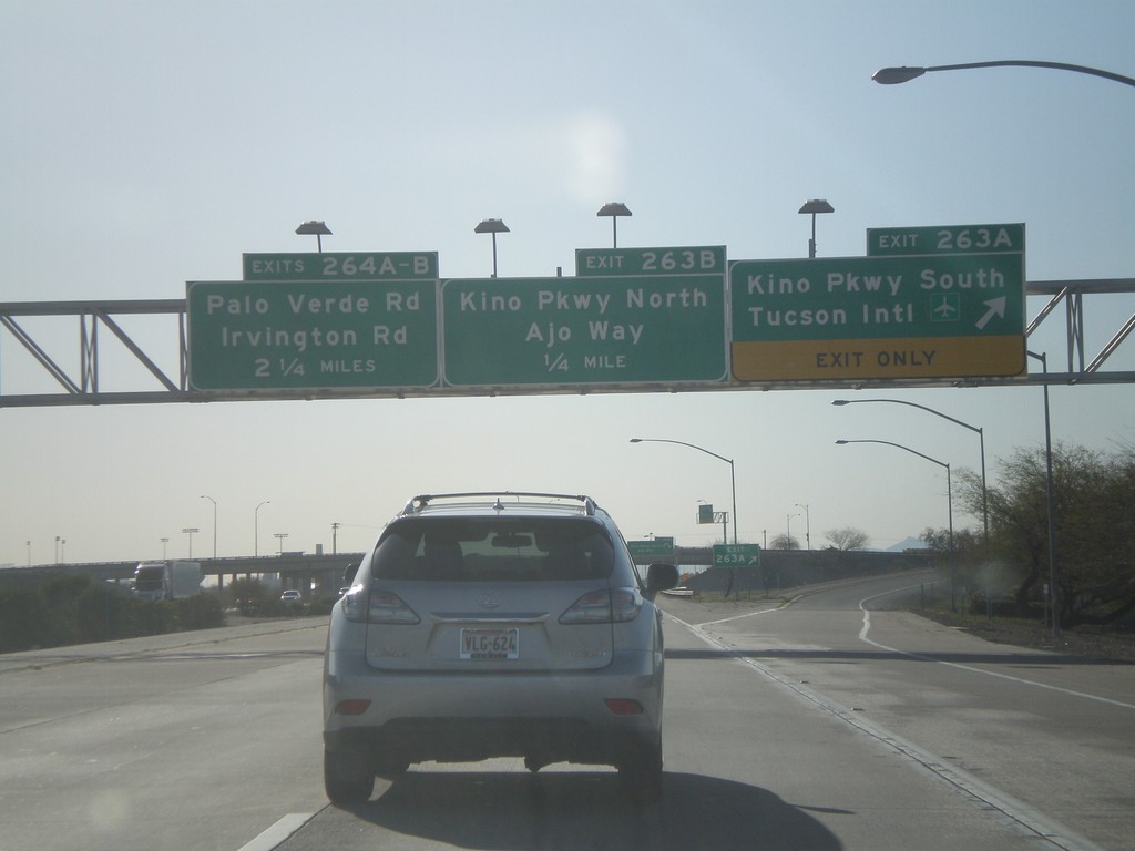
I-10 East - Exits 263AB and 264AB
I-10 east at Exit 263A - Kino Parkway South/Tucson International Airport. Approaching Exit 263B - Kino Parkway North/Ajo Way. Also approaching Exit 264A-B - Palo Verde Road/Irvington Road.
Taken 03-21-2010
Tucson
Pima County
Arizona
United States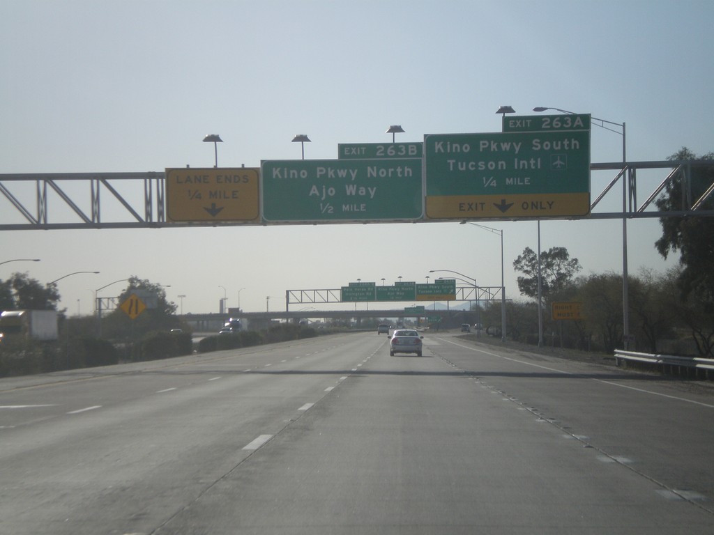
I-10 East - Exits 263A and 263B
I-10 east at Exit 263A - Kino Parkway South/Tucson International Airport. Approaching Exit 263B - Kino Parkway North/Ajo Way.
Taken 03-21-2010
Tucson
Pima County
Arizona
United States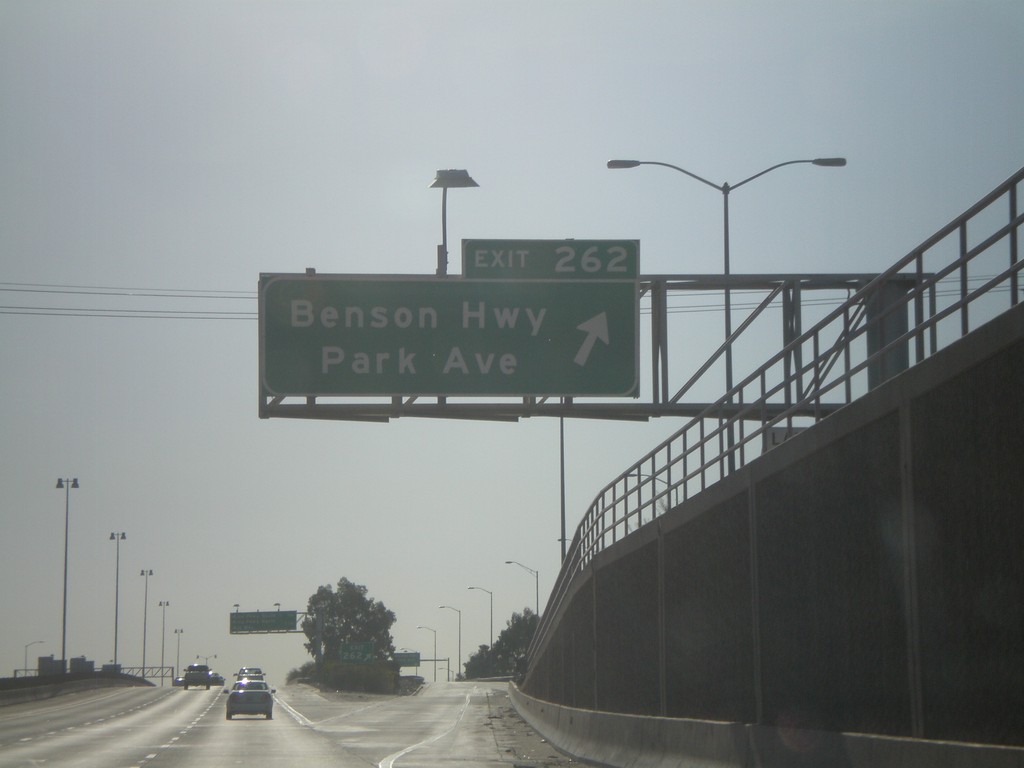
I-10 East - Exit 262
I-10 east at Exit 262 - Benson Highway/Park Ave
Taken 03-21-2010
Tucson
Pima County
Arizona
United States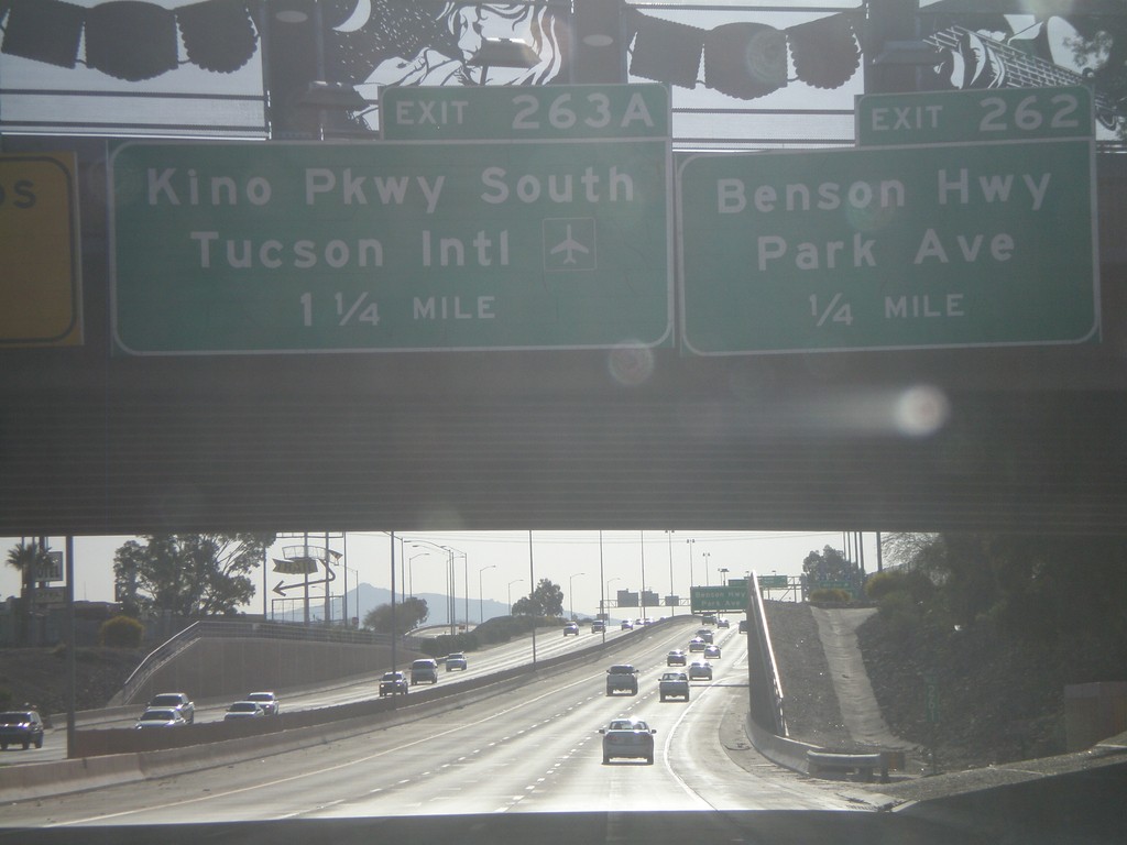
I-10 East Approaching Exit 262 and 263A
I-10 east at Exit 262 - Benson Highway/Park Ave. Approaching Exit 263A - Kino Parkway South/Tucson International Airport.
Taken 03-21-2010
Tucson
Pima County
Arizona
United States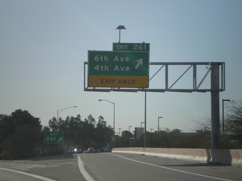
I-10 East - Exit 261
I-10 east at Exit 261 - 6th Ave/4th Ave
Taken 03-21-2010
Tucson
Pima County
Arizona
United States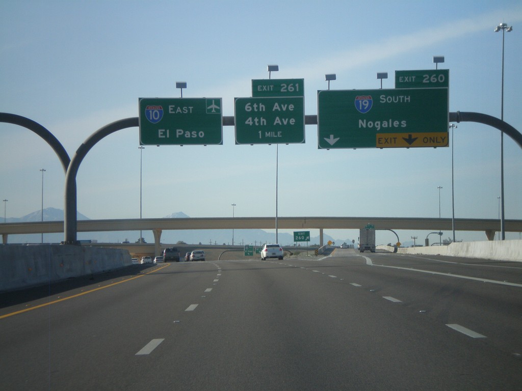
I-10 East - Exits 260 and 261
I-10 east at Exit 260 - I-19 South/Nogales. Approaching Exit 261 - 6th Ave./4th Ave. I-10 continues east towards the Tucson Airport and El Paso.
Taken 03-21-2010
 Tucson
Pima County
Arizona
United States
Tucson
Pima County
Arizona
United States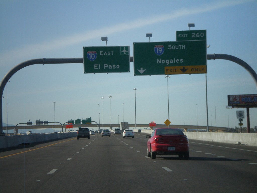
I-10 East Approaching Exit 260
I-10 east approaching Exit 260 - I-19 South/Nogales. I-10 continues east towards the Tucson Airport and El Paso.
Taken 03-21-2010
Tucson
Pima County
Arizona
United States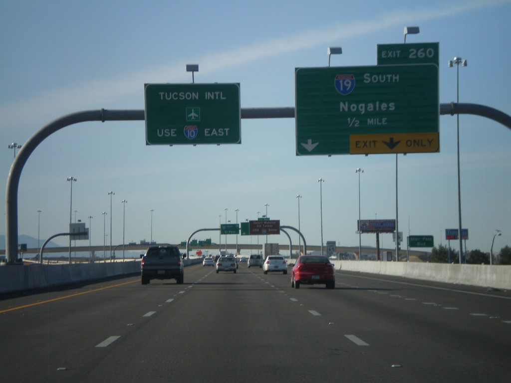
I-10 East Approaching Exit 260
I-10 east approaching Exit 260 - I-19 South/Nogales. Use I-10 east for Tucson International Airport.
Taken 03-21-2010
Tucson
Pima County
Arizona
United States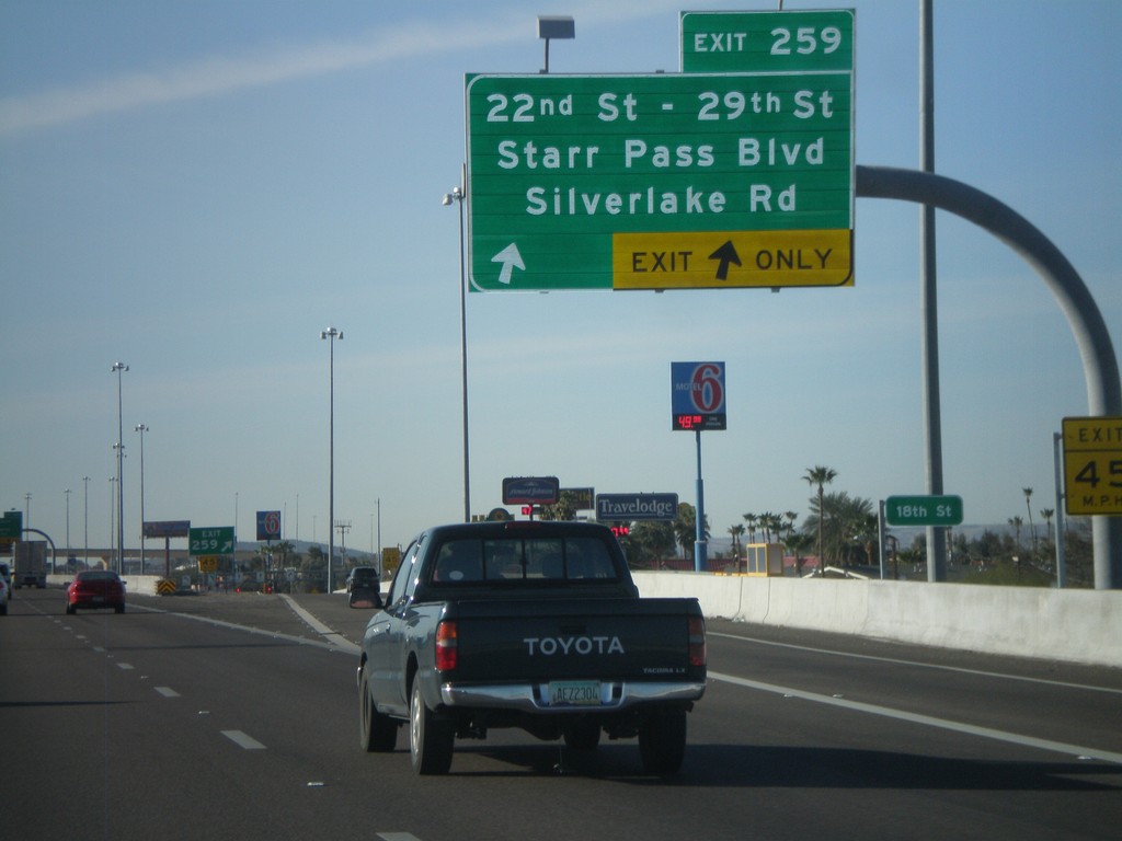
I-10 East - Exit 259
I-10 east at Exit 259 - 22nd St - 29th St/Starr Pass Blvd/Silverlake Road.
Taken 03-21-2010
Tucson
Pima County
Arizona
United States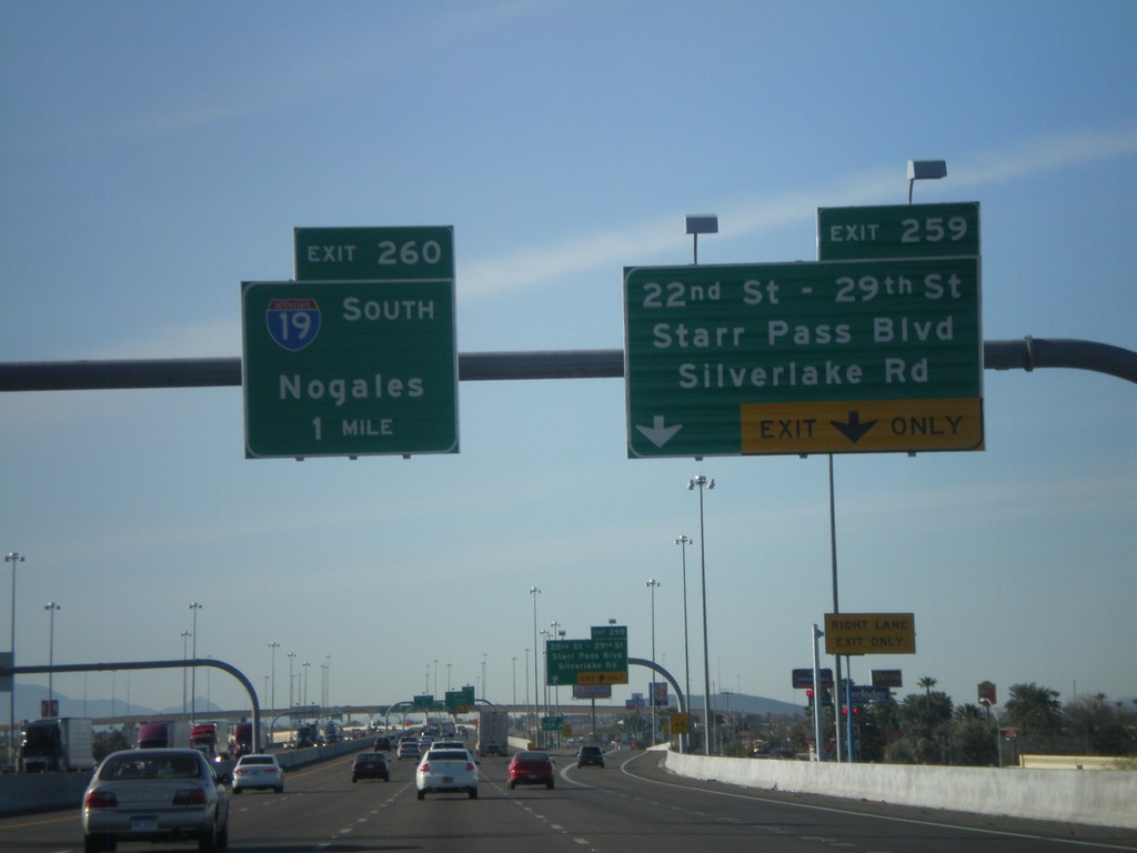
I-10 East Approaching Exits 259 and 260
I-10 east approaching Exit 259 - 22nd St - 29th St./Starr Pass Blvd/Silverlake Road. Approaching Exit 260 - I-19 South/Nogales.
Taken 03-21-2010
Tucson
Pima County
Arizona
United States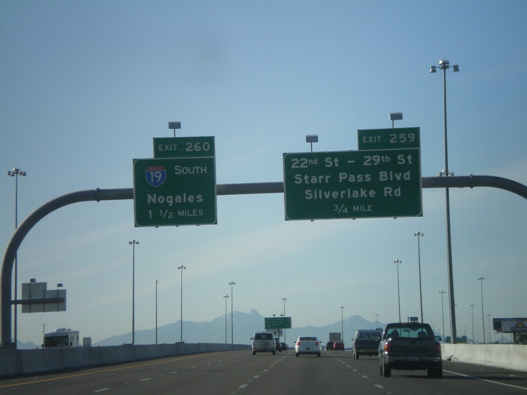
I-10 East Approaching Exit 259 and 260
I-10 east at Exit 259 - 22nd St. - 29th St./Starr Pass Blvd./Silverlake Road. Approaching Exit 260 - I-19 South/Nogales.
Taken 03-21-2010
Tucson
Pima County
Arizona
United States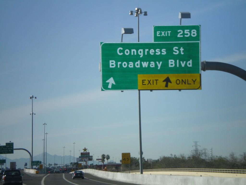
I-10 East - Exit 258
I-10 east at Exit 258 - Congress St/Broadway Blvd
Taken 03-21-2010
Tucson
Pima County
Arizona
United States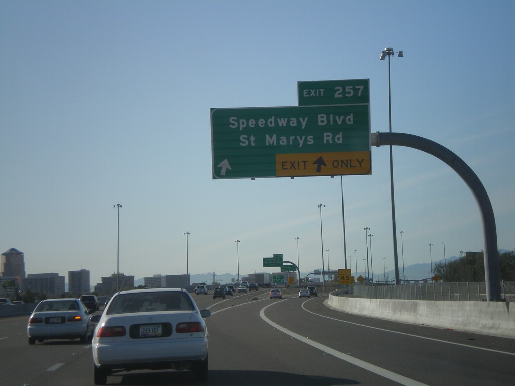
I-10 East - Exit 257
I-10 east at Exit 257 - Speedway Blvd/St Marys Road
Taken 03-21-2010
Tucson
Pima County
Arizona
United States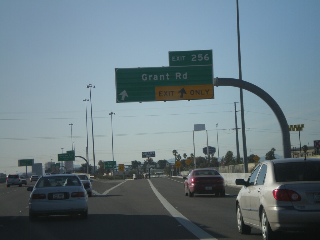
I-10 East - Exit 256
I-10 east at Exit 256 - Grant Road.
Taken 03-21-2010
Tucson
Pima County
Arizona
United States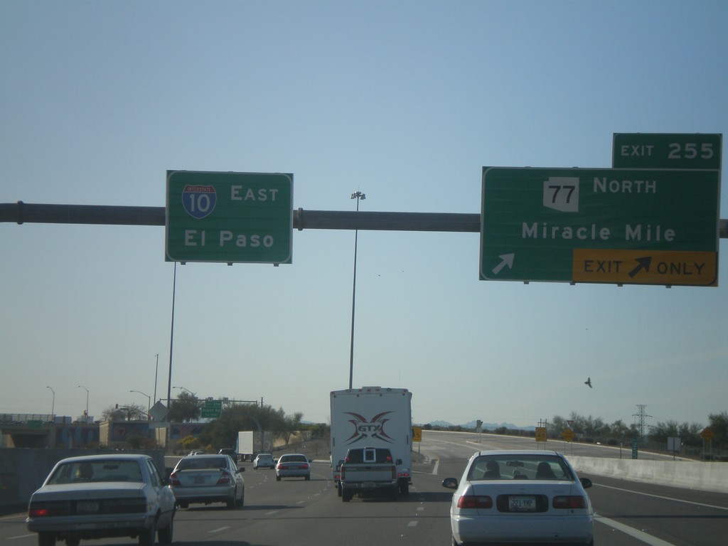
I-10 East - Exit 255
I-10 east at Exit 255 - AZ-77 North/Miracle Mile. I-10 continues east to El Paso.
Taken 03-21-2010
 Tucson
Pima County
Arizona
United States
Tucson
Pima County
Arizona
United States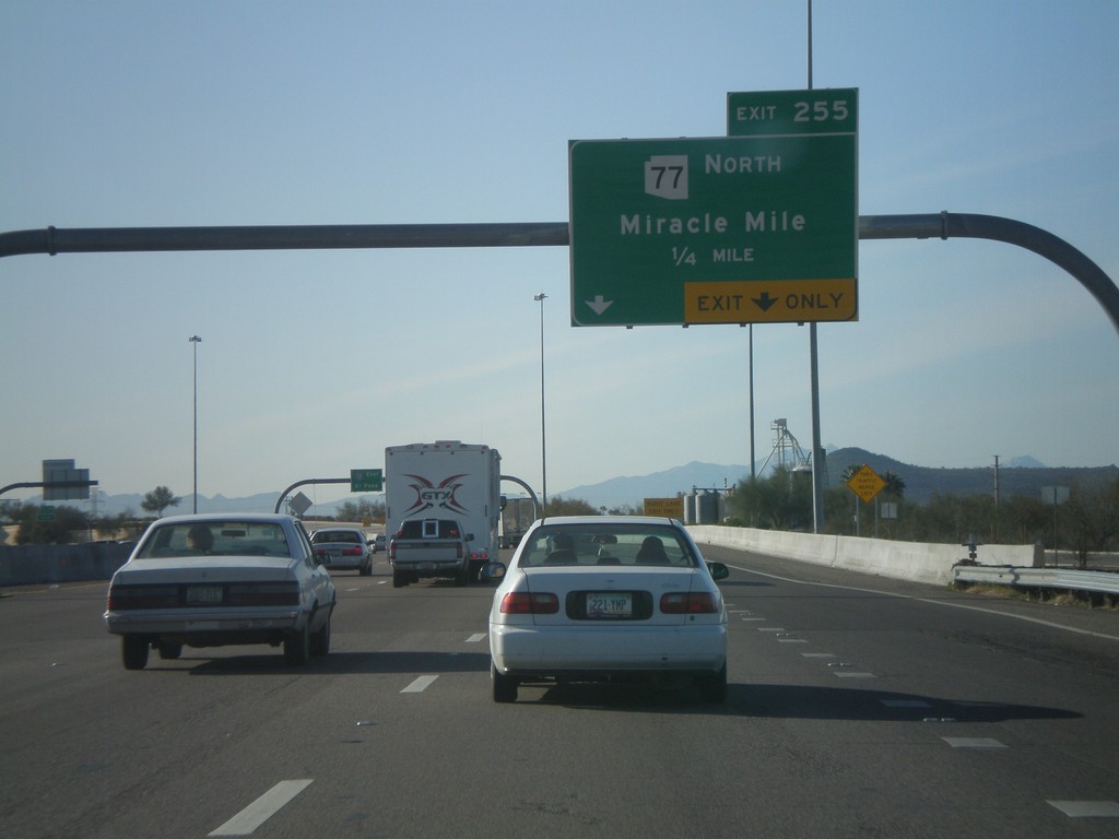
I-10 East - Exit 254
I-10 east at Exit 254 - AZ-77 North/Miracle Mile.
Taken 03-21-2010
Tucson
Pima County
Arizona
United States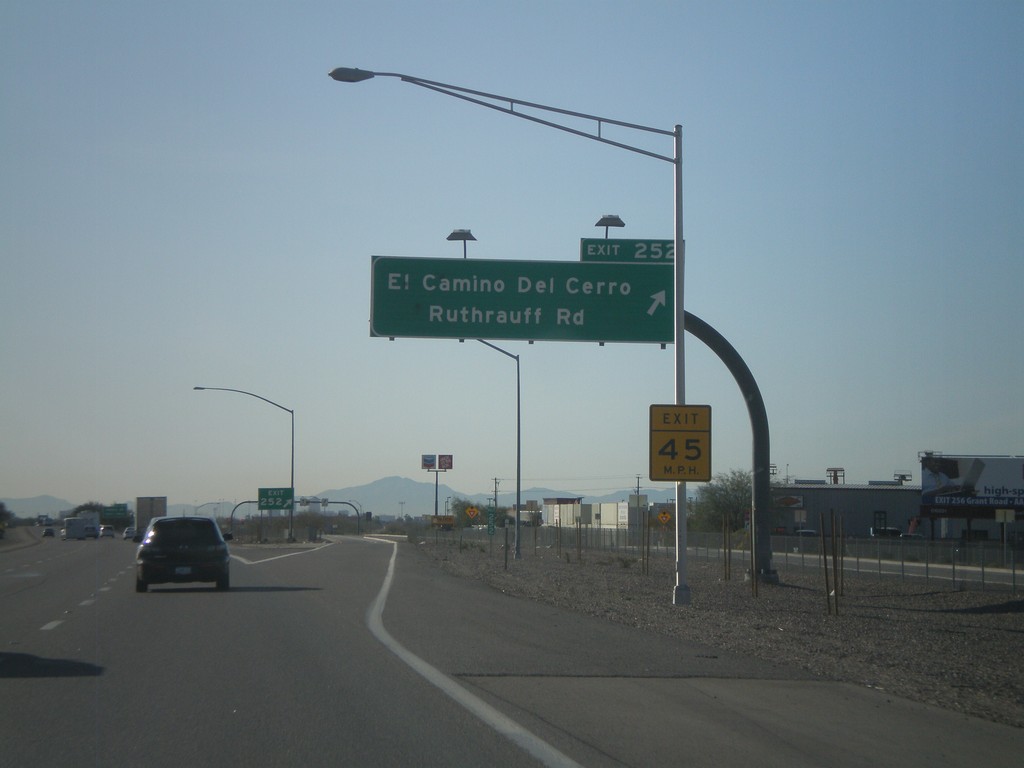
I-10 East - Exit 252
I-10 east at Exit 252 - El Camino Del Cerro/Ruthrauff Road.
Taken 03-21-2010
Tucson
Pima County
Arizona
United States