Signs Tagged With Overhead
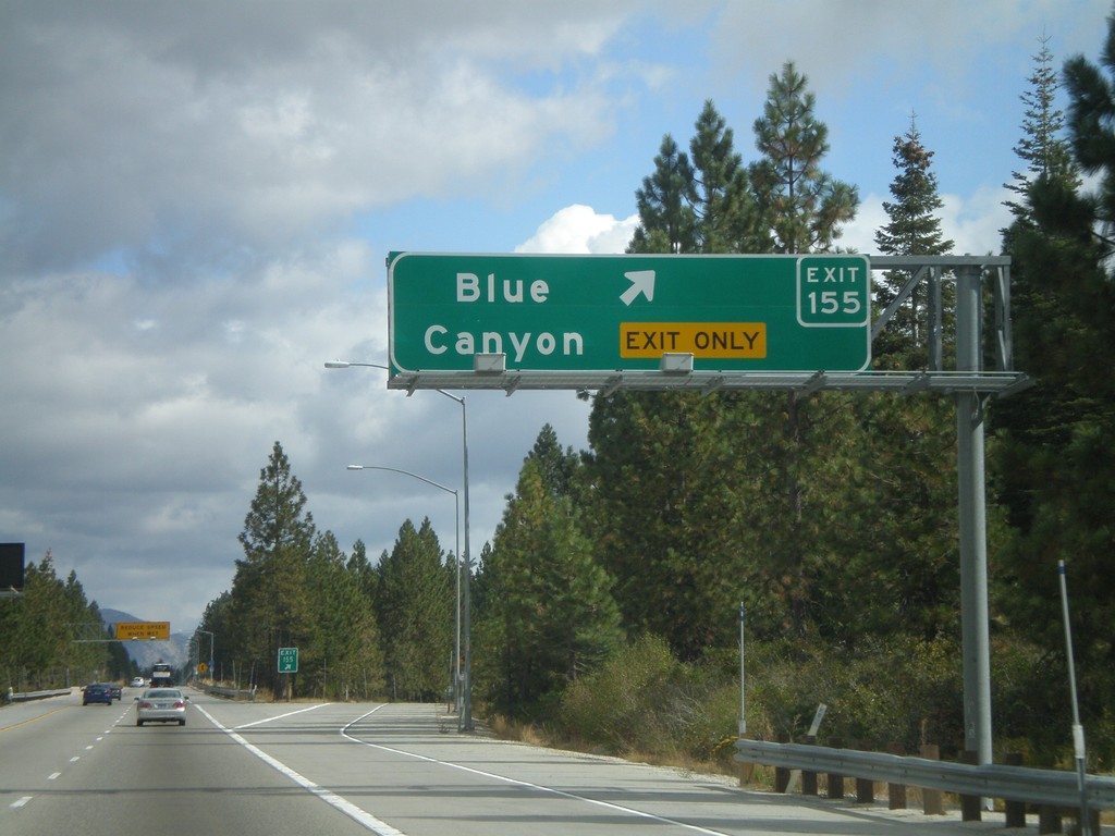
I-80 East - Exit 155
I-80 east at Exit 155 - Blue Canyon
Taken 10-04-2009
 Blue Canyon
Placer County
California
United States
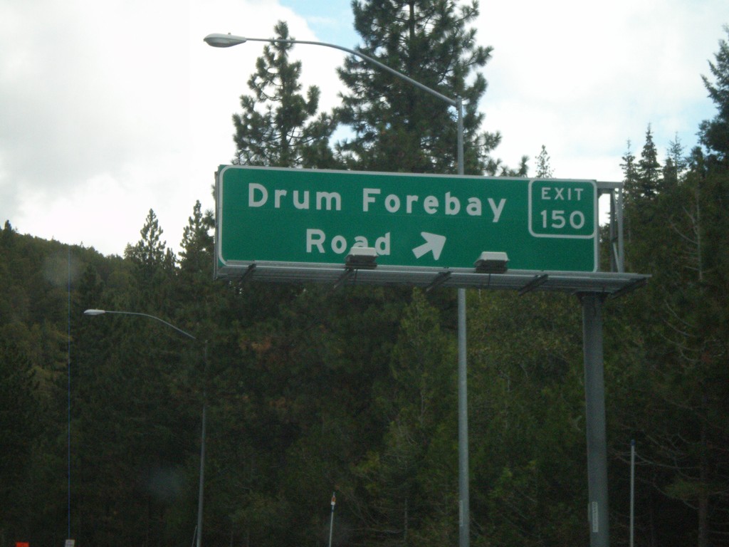
I-80 East - Exit 150
I-80 east at Exit 150 - Drum Forebay Road
Taken 10-04-2009
 Alta
Placer County
California
United States
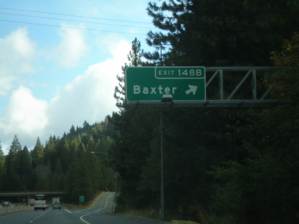
I-80 East - Exit 148B
I-80 east at Exit 148B - Baxter
Taken 10-04-2009
 Alta
Placer County
California
United States
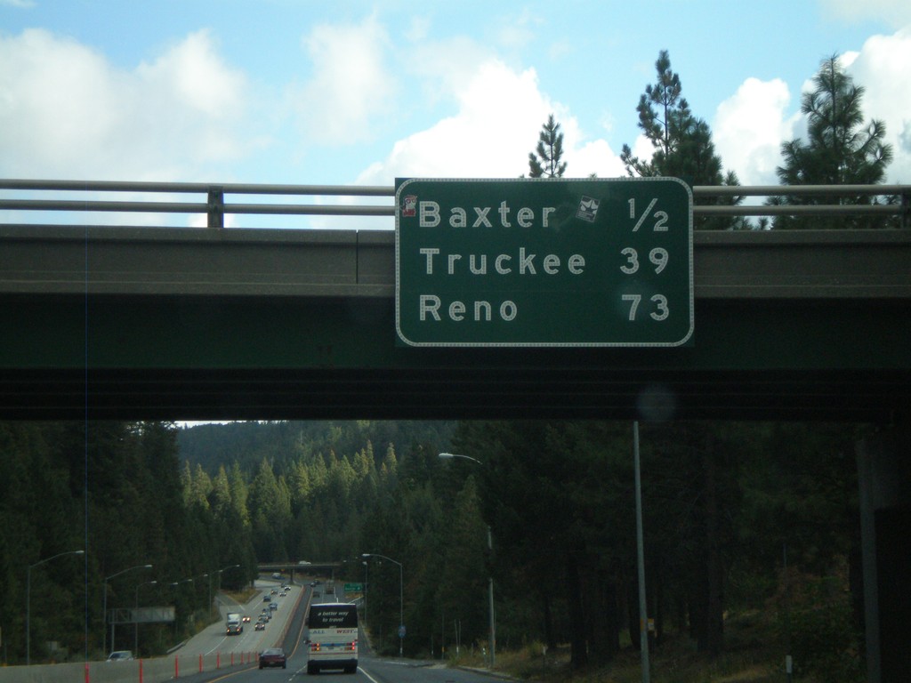
I-80 East - Distance Marker
Distance marker on I-80 east at the Crystal Springs (Exit 148A) interchange. Distance to Baxter, Truckee, and Reno.
Taken 10-04-2009
 Alta
Placer County
California
United States
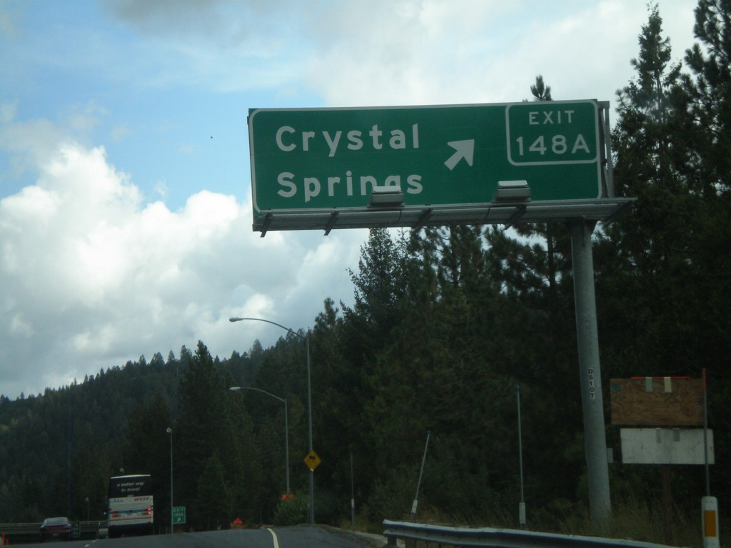
I-80 East Exit 148A
I-80 east at Exit 148A - Crystal Springs
Taken 10-04-2009
 Alta
Placer County
California
United States
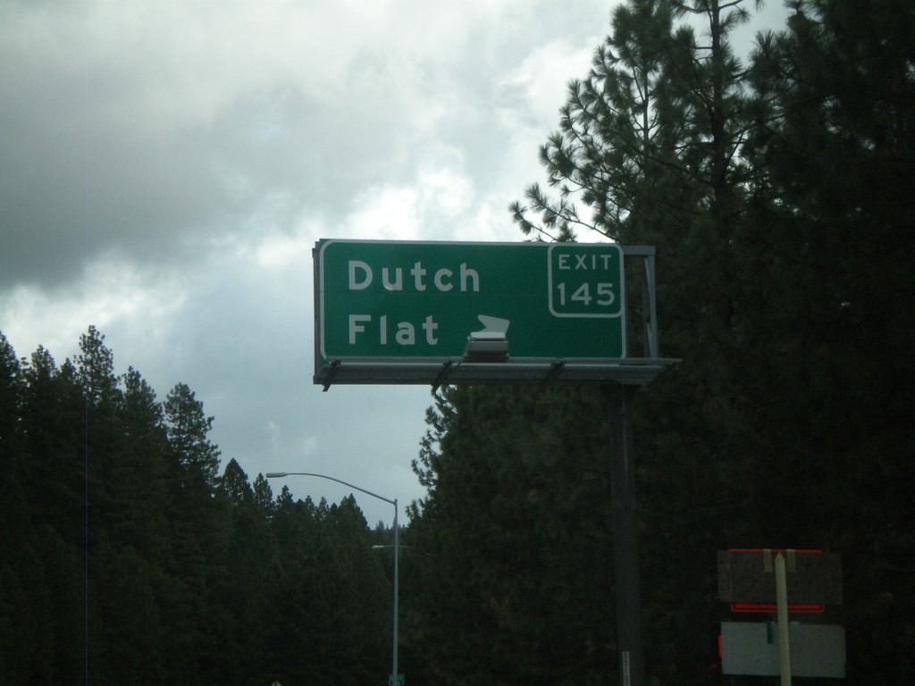
I-80 East - Exit 145
I-80 east at Exit 145 - Dutch Flat
Taken 10-04-2009
 Dutch Flat
Placer County
California
United States
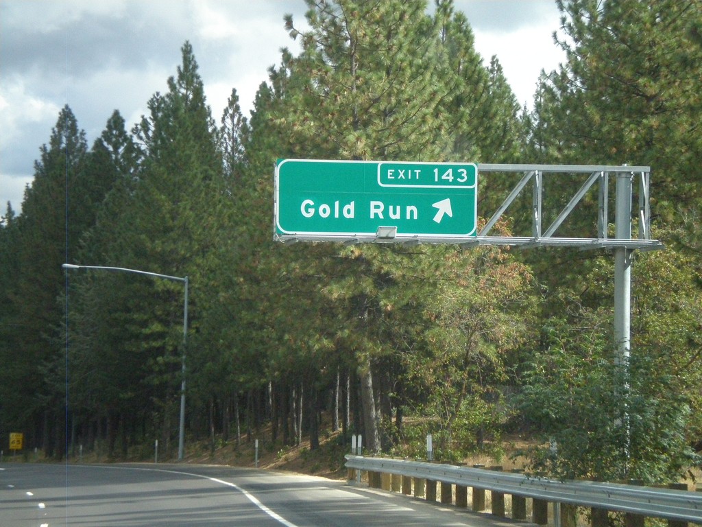
I-80 East - Exit 143
I-80 east at Exit 143 - Gold Run
Taken 10-04-2009
 Gold Run
Placer County
California
United States
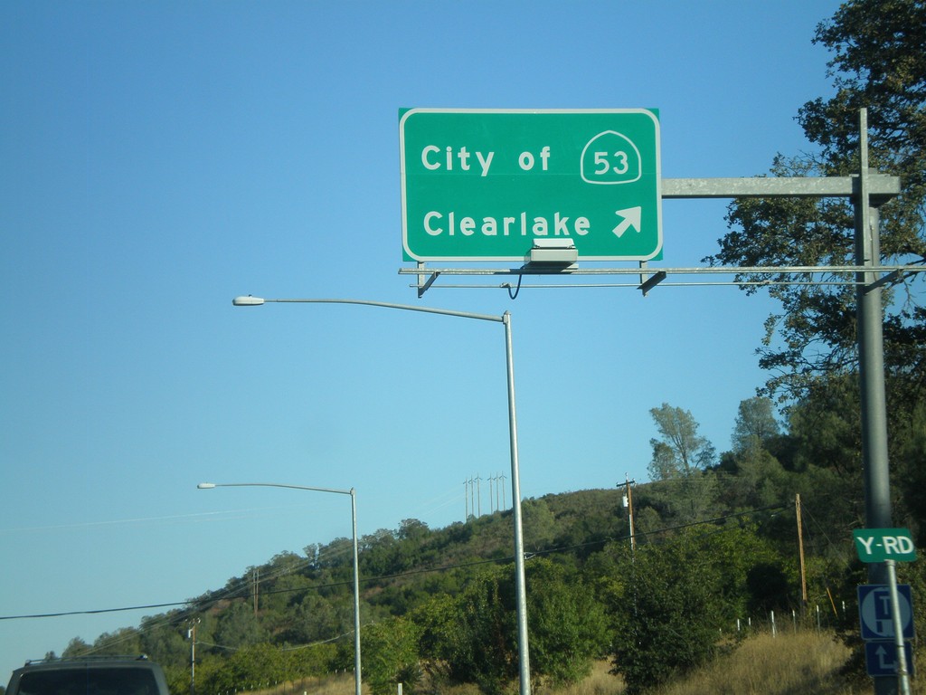
CA-20 East at CA-53
CA-20 East at CA-53 south to City of Clearlake
Taken 09-25-2009

 Clearlake Oaks
Lake County
California
United States
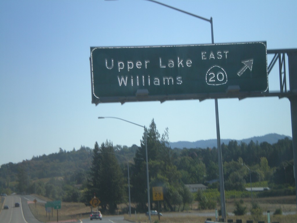
US-101 South - Exit 555B
US 101 south at Exit 555B - CA-20 East/Upper Lake/Williams
Taken 09-25-2009

 Calpella
Mendocino County
California
United States
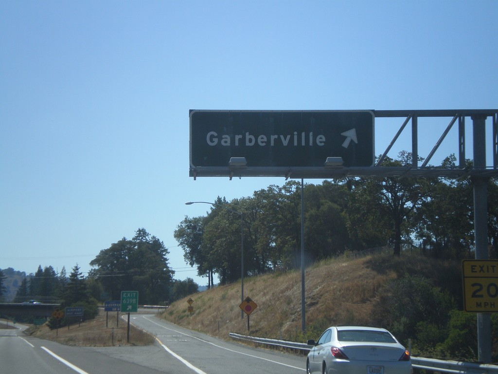
US-101 South - Exit 639B
US-101 south at Exit 639B - Garberville
Taken 09-25-2009
 Garberville
Humboldt County
California
United States
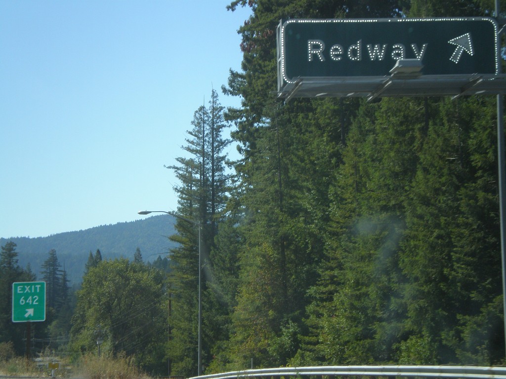
US-101 South - Exit 642
US-101 south Exit 642 - Redway
Taken 09-25-2009
 Redway
Humboldt County
California
United States
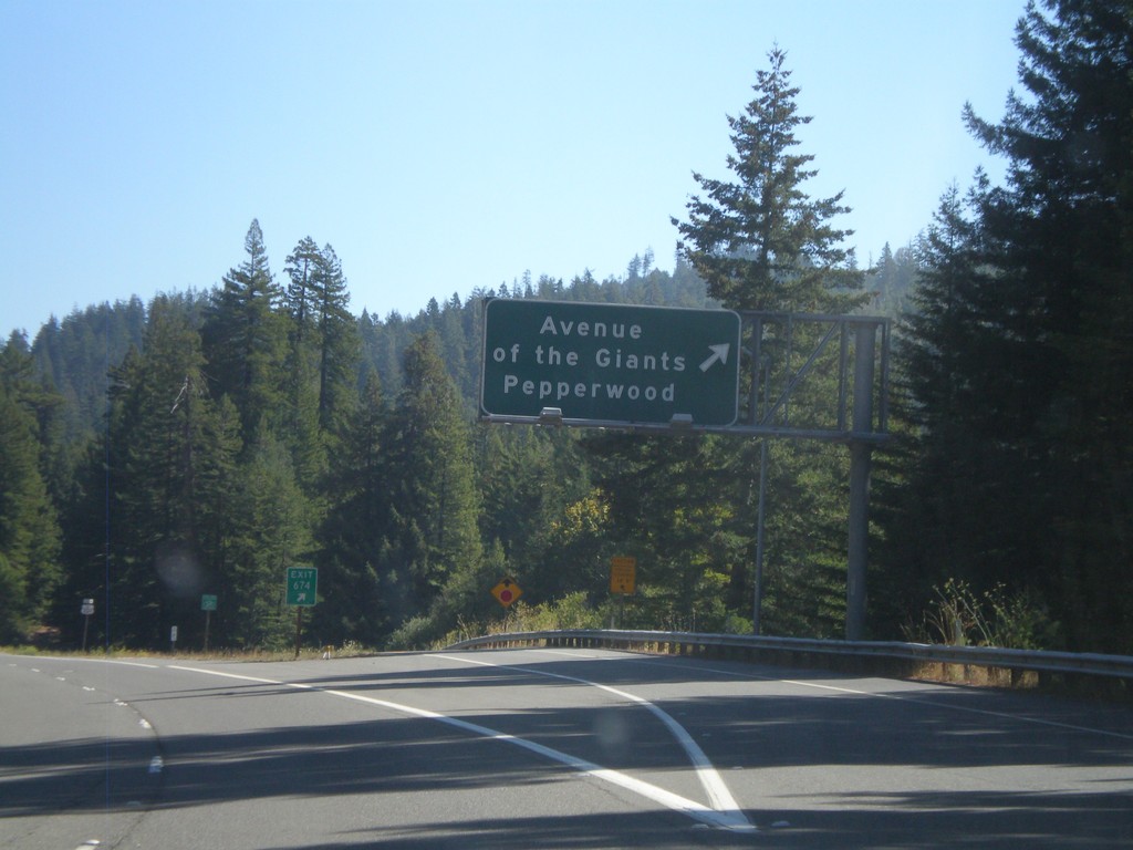
US-101 South - Exit 674
US-101 south at Exit 674 - Avenue of the Giants / Pepperwood
Taken 09-25-2009

 Elinor
Humboldt County
California
United States
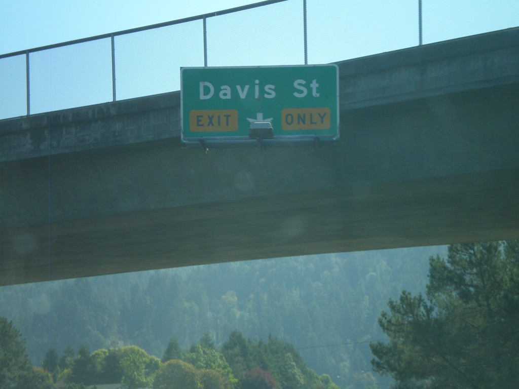
US-101 South - Approaching Exit 680
US-101 south approaching Exit 680 - Davis St.
Taken 09-25-2009
 Rio Dell
Humboldt County
California
United States
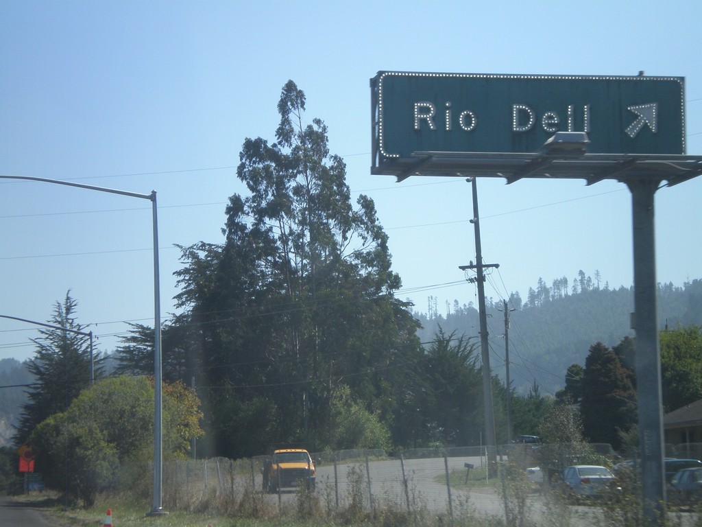
US-101 South - Exit 681
US-101 south at Exit 681 - Rio Dell.
Taken 09-25-2009
 Rio Dell
Humboldt County
California
United States
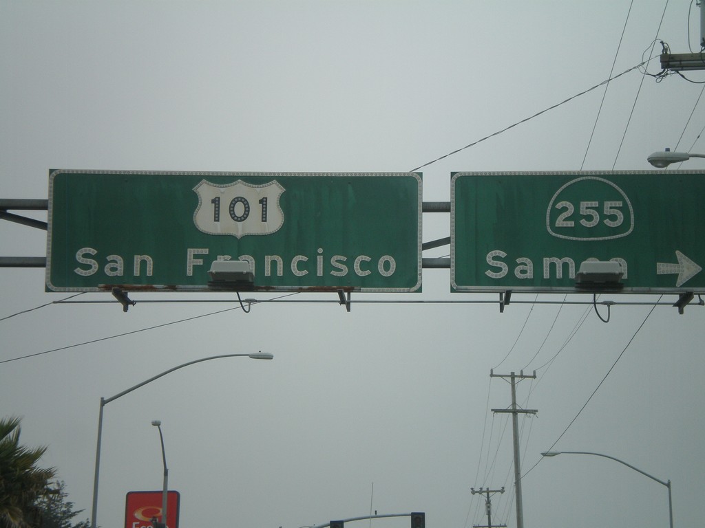
US-101 South At CA-255
US-101 south (4th St.) at CA-255/Samoa in downtown Eureka. Continue on US-101 for San Francisco.
Taken 09-25-2009

 Eureka
Humboldt County
California
United States
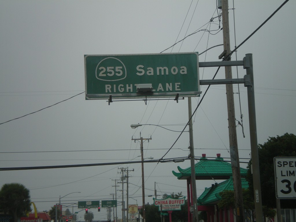
US-101 South Approaching CA-255
US-101 south (4th St.) approaching CA-255/Samoa in downtown Eureka.
Taken 09-25-2009

 Eureka
Humboldt County
California
United States
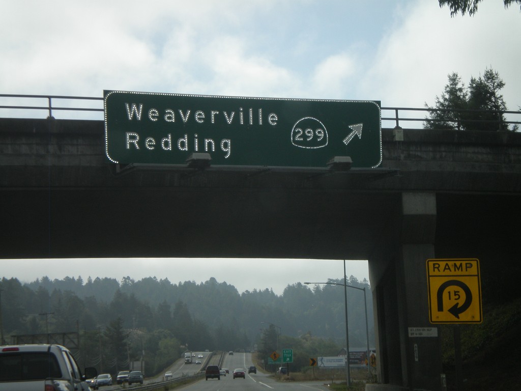
US-101 South - Exit 716A
US-101 south Exit 716A - CA-299/Weaverville/
Taken 09-25-2009

 Arcata
Humboldt County
California
United States
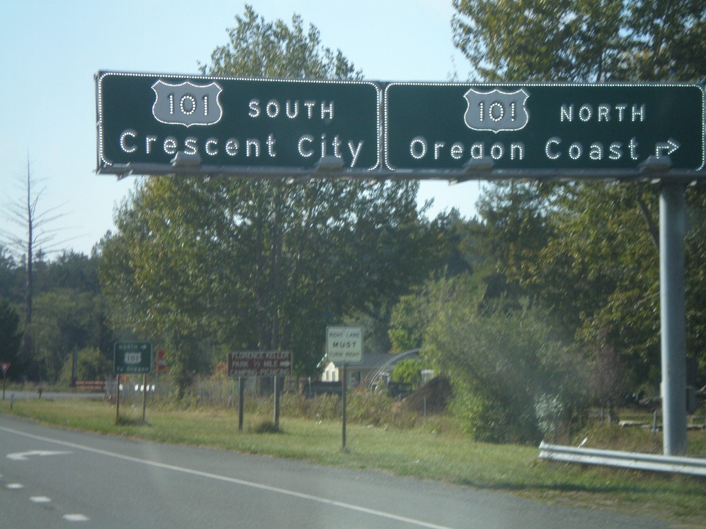
US-199 West Approaching US-101
US-199 west approaching US-101. Use US-101 north for the Oregon Coast. Use US-101 south for Crescent City. There is no direct connection to US-101 north from US-199 west. Traffic follows the Elk Valley Cross Road to reach US-101. This is the western terminus of US-199.
Taken 09-23-2009

 Crescent City
Del Norte County
California
United States
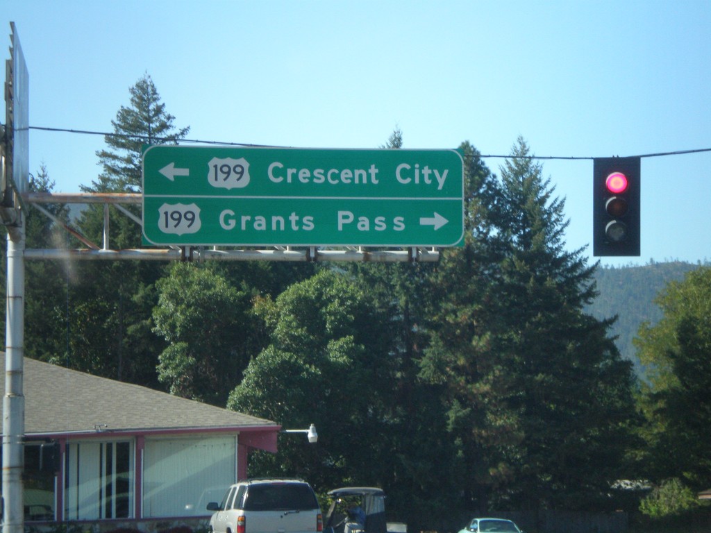
End OR-46 West at US-199
End OR-46 west at US-199. Use US-199 east for Grants Pass. Use US-199 west for Crescent City.
Taken 09-23-2009

 Cave Junction
Josephine County
Oregon
United States
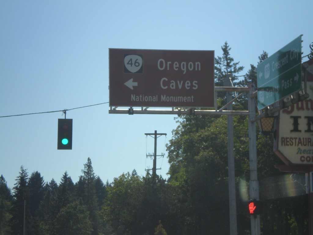
US-199 South at OR-46
US-199 south at OR-46 east to Oregon Cavess National Monument.
Taken 09-23-2009

 Cave Junction
Josephine County
Oregon
United States
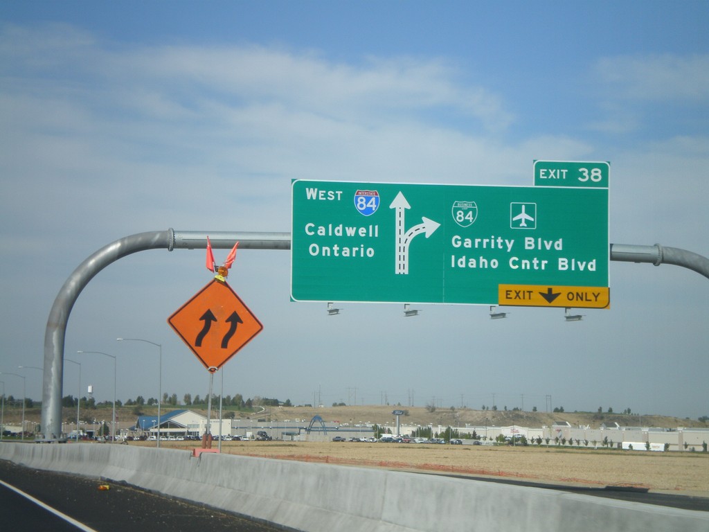
I-84 West - Exit 38
I-84/US-30 west at Exit 38 - BL-84/Garrity Blvd./Idaho Center Blvd. Westbound I-84 traffic continues towards Caldwell and Ontario (OR).
Taken 09-19-2009


 Nampa
Canyon County
Idaho
United States
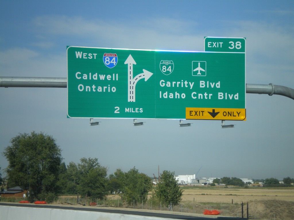
I-84 West Approaching Exit 38
I-84/US-30 west approaching Exit 38 - BL-84/Garrity Blvd./Idaho Center Blvd. Westbound I-84 traffic continues towards Caldwell and Ontario (OR). This is a new sign as part of the I-84 widening between Meridian and Nampa.
Taken 09-19-2009


 Nampa
Canyon County
Idaho
United States
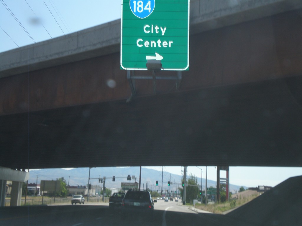
Franklin Road East at I-184 East
Franklin Road East at I-184 East - Exit 1.
Taken 07-04-2009
 Boise
Ada County
Idaho
United States
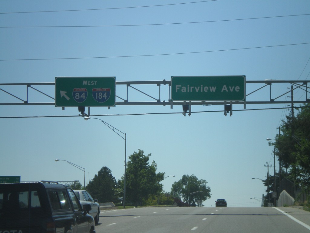
Fairview Ave. West at I-184
Fairview Ave. west at I-184 onramp. I-84 is posted on this sign, but it should read To I-84, since I-84 is still three miles away along I-184.
Taken 06-29-2009

 Boise
Ada County
Idaho
United States
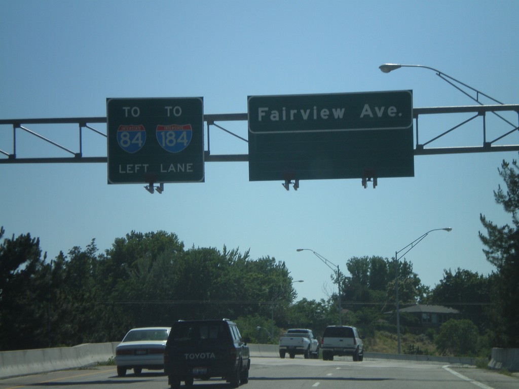
Fairview Ave. west approaching I-184
Fairview Ave. west approaching I-184 onramp.
Taken 06-29-2009

 Boise
Ada County
Idaho
United States