Signs Tagged With Overhead
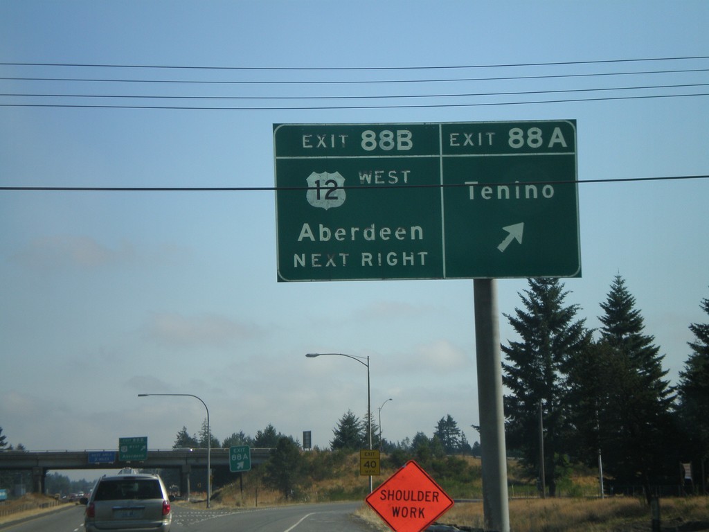
I-5 North - Exit 88A and Exit 88B
I-5 north at Exit 88A - Tenino. Approaching Exit 88B - US-12 West/Aberdeen.
Taken 07-24-2008

 Rochester
Thurston County
Washington
United States
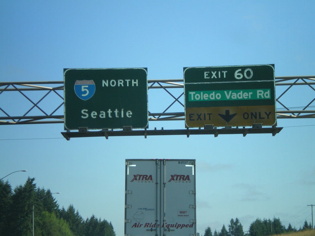
I-5 North - Exit 60
I-5 north at Exit 60 - Toledo Vader Road. Overhead for I-5 north to Seattle.
Taken 07-24-2008
 Toledo
Lewis County
Washington
United States
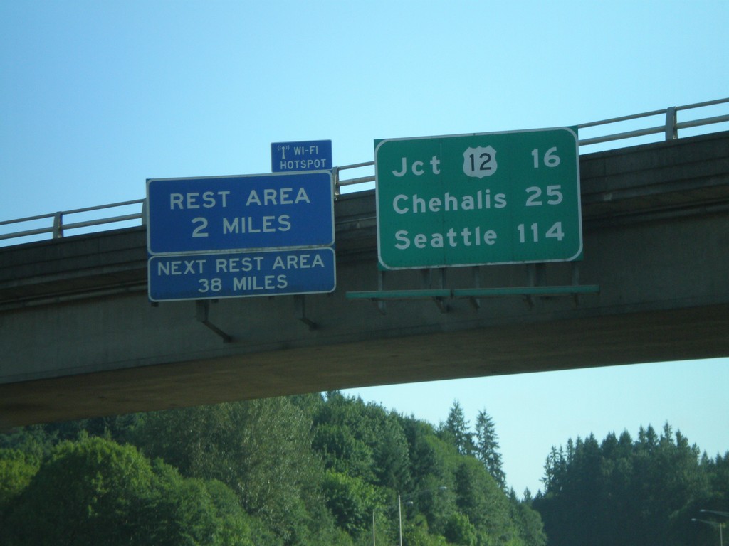
I-5 North - Distance Overhead
I-5 overhead with distance marker to US-12, Chehalis, and Seattle. Rest Area with Wi-Fi access in 2 miles.
Taken 07-24-2008
 Castle Rock
Cowlitz County
Washington
United States
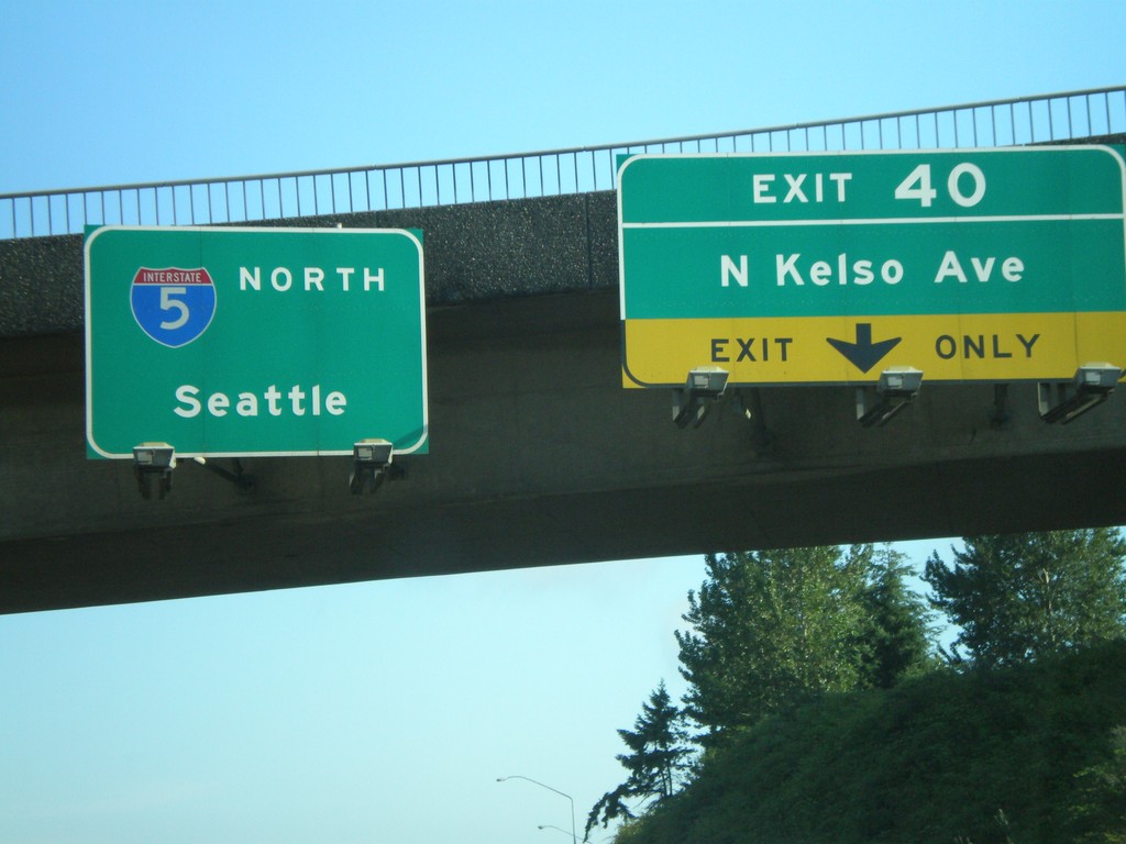
I-5 North - Exit 40
I-5 north at Exit 40 - N. Kelso Ave. Overhead for I-5 north to Seattle.
Taken 07-24-2008
 Kelso
Cowlitz County
Washington
United States
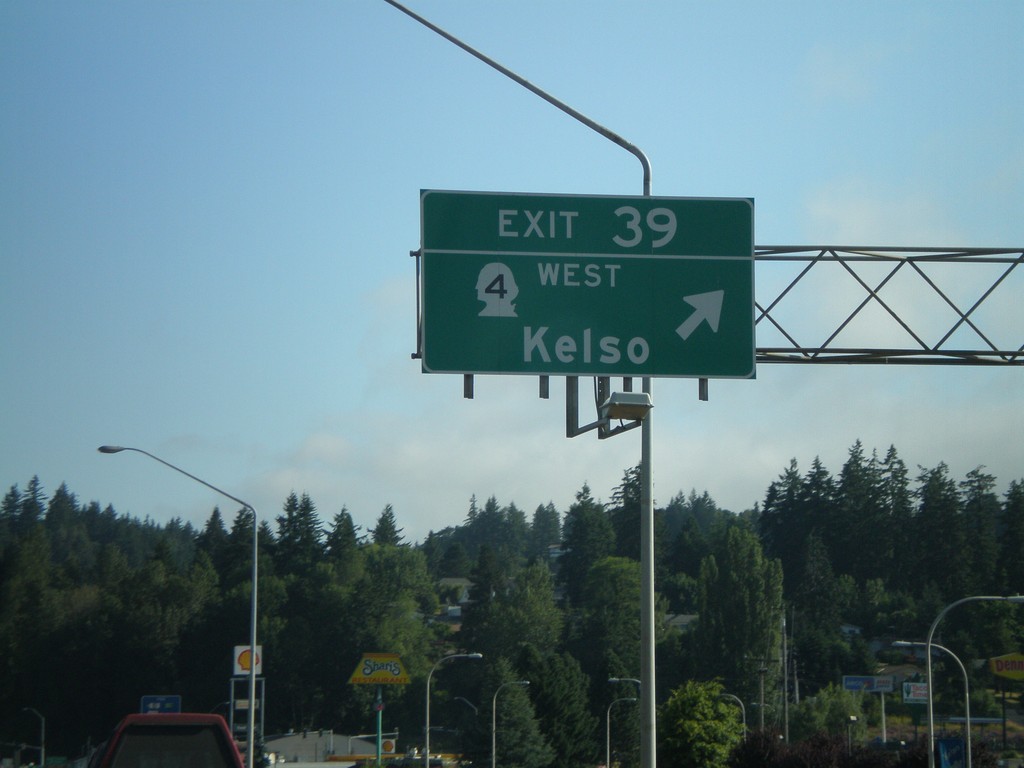
I-5 North - Exit 39
I-5 north at Exit 39 - WA-4 West/Kelso
Taken 07-24-2008

 Kelso
Cowlitz County
Washington
United States
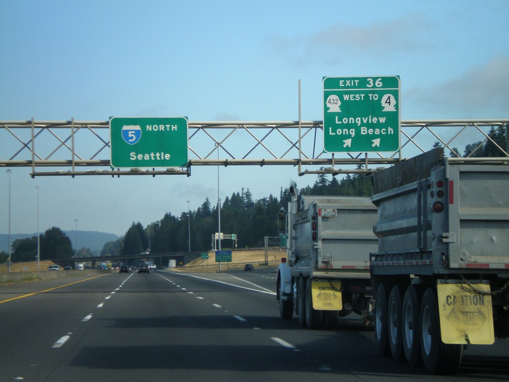
I-5 North - Exit 36
I-5 north at Exit 36 - WA-432 West/To WA-4/Longview/Long Beach. Overhead for I-5 North to Seattle.
Taken 07-24-2008


 Kelso
Cowlitz County
Washington
United States
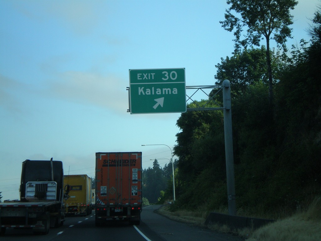
I-5 North - Exit 30
I-5 north at Exit 30 - Kalama
Taken 07-24-2008
 Kalama
Cowlitz County
Washington
United States
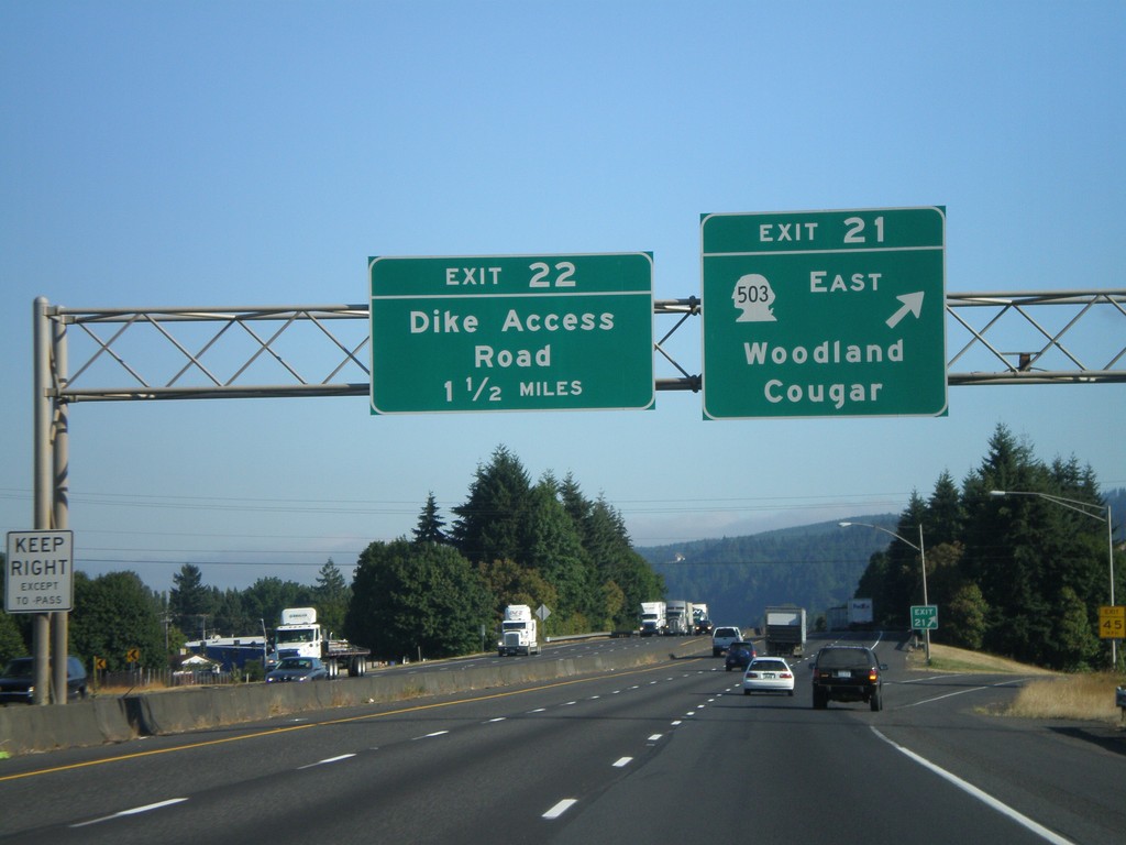
I-5 North - Exit 21
I-5 north at Exit 21 - WA-503 East/Woodland/Cougar. Approaching Exit 22 - Dike Access Road.
Taken 07-24-2008

 Woodland
Cowlitz County
Washington
United States
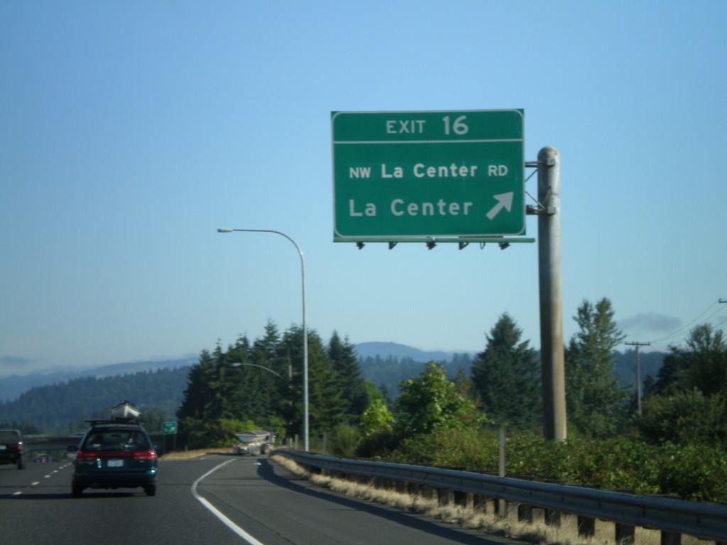
I-5 North - Exit 16
I-5 north at Exit 16 - NW La Center Road/La Center
Taken 07-24-2008
 Ridgefield
Clark County
Washington
United States
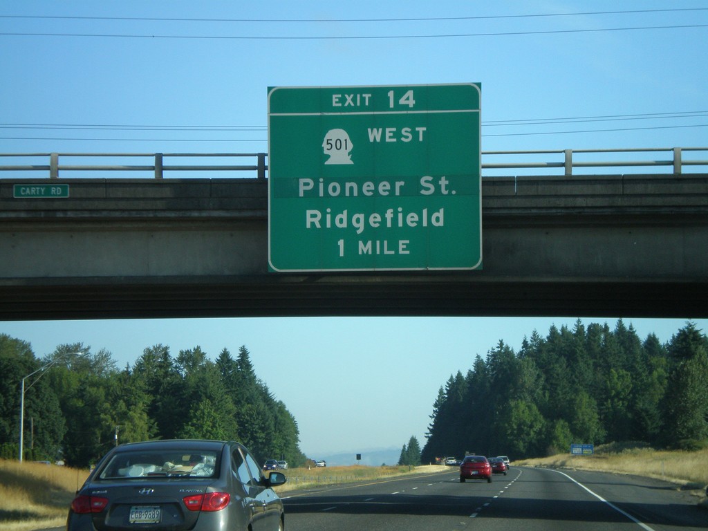
I-5 North - Exit 14
I-5 north approaching Exit 14 - WA-501 West/Pioneer St./Ridgefield
Taken 07-24-2008

 Ridgefield
Clark County
Washington
United States
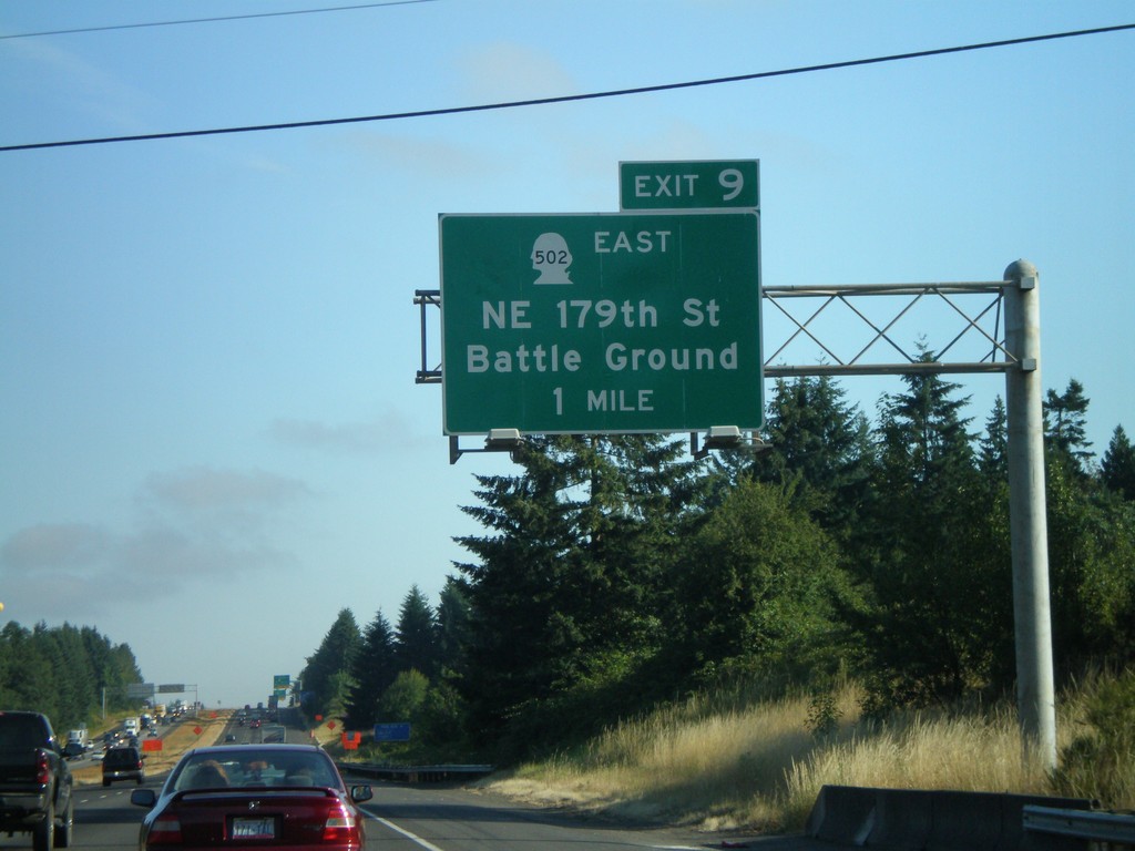
I-5 North - Exit 9
I-5 north approaching Exit 9 - WA-502 East/NE 179th St./Battle Ground
Taken 07-24-2008

 Ridgefield
Clark County
Washington
United States
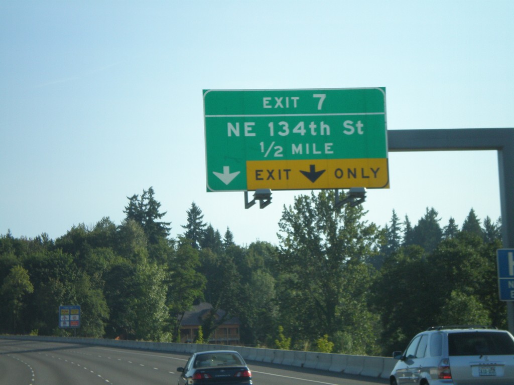
I-5 North - Exit 7
I-5 north approaching Exit 7 - NE 134th St.
Taken 07-24-2008
 Vancouver
Clark County
Washington
United States
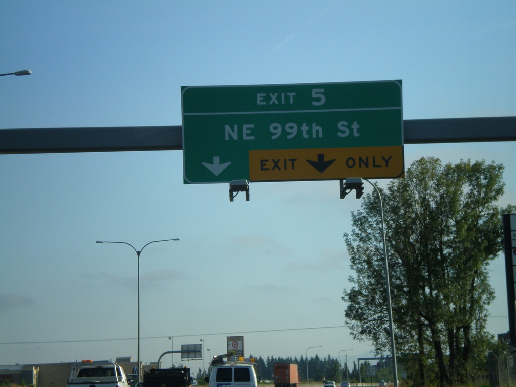
I-5 North - Exit 5
I-5 north at Exit 5 - NE 99th St.
Taken 07-24-2008
 Vancouver
Clark County
Washington
United States
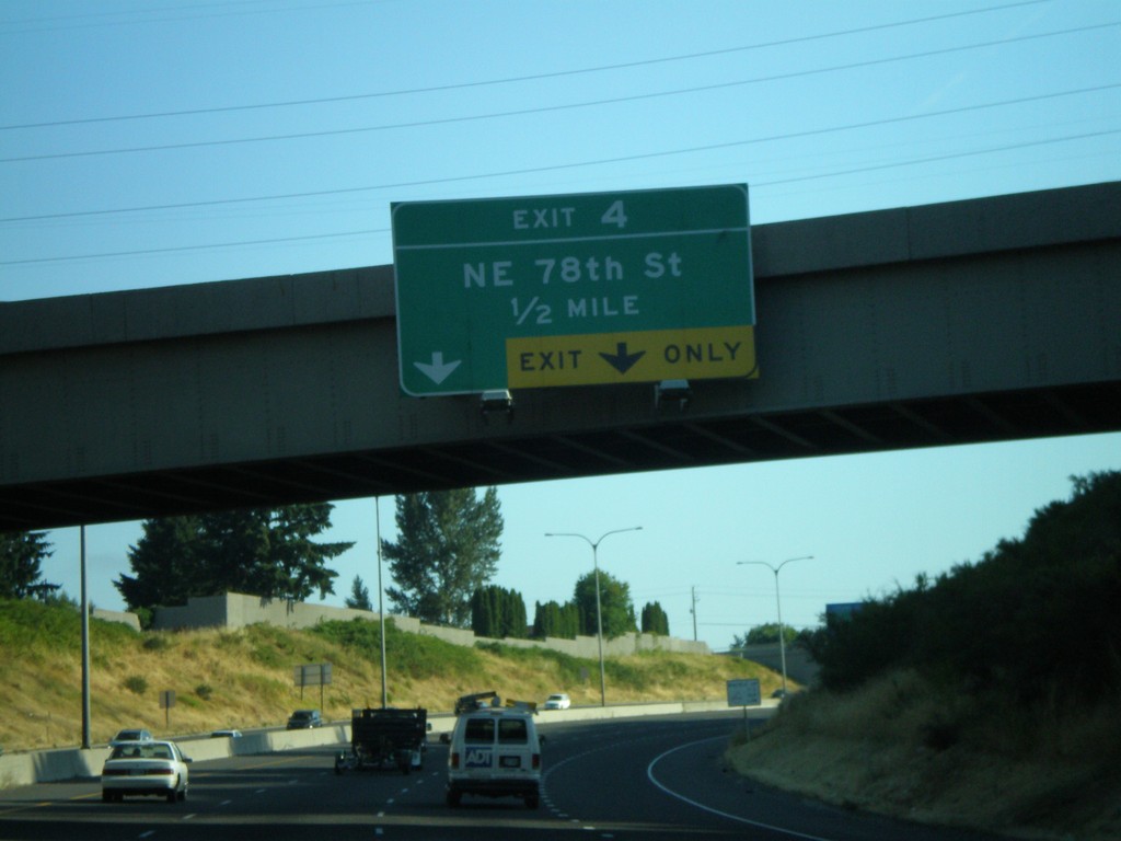
I-5 North - Exit 4
I-5 north approaching Exit 4 - NE 78th St.
Taken 07-24-2008
 Vancouver
Clark County
Washington
United States
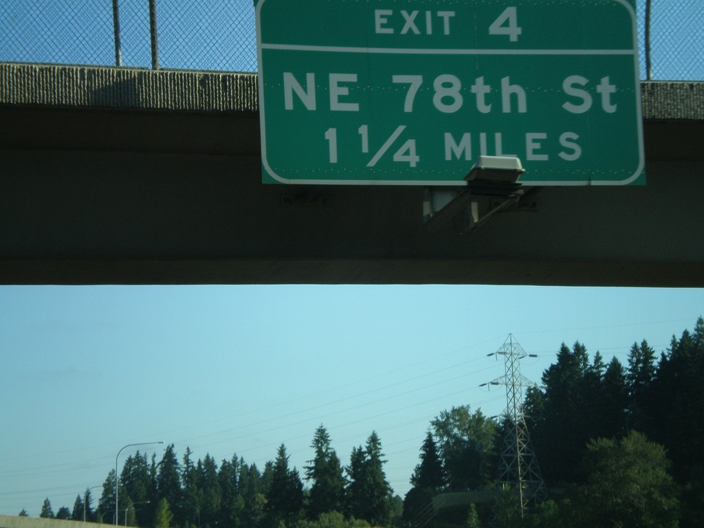
I-5 North - Exit 4
I-5 north approaching Exit 4 - NE 78th St.
Taken 07-24-2008
 Vancouver
Clark County
Washington
United States
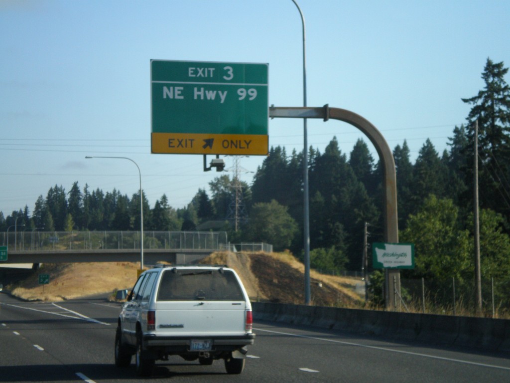
I-5 North - Exit 3
I-5 north approaching Exit 3 - NE Hwy. 99. The first Washington welcome sign is attached to the bottom of the overhead.
Taken 07-24-2008
 Vancouver
Clark County
Washington
United States
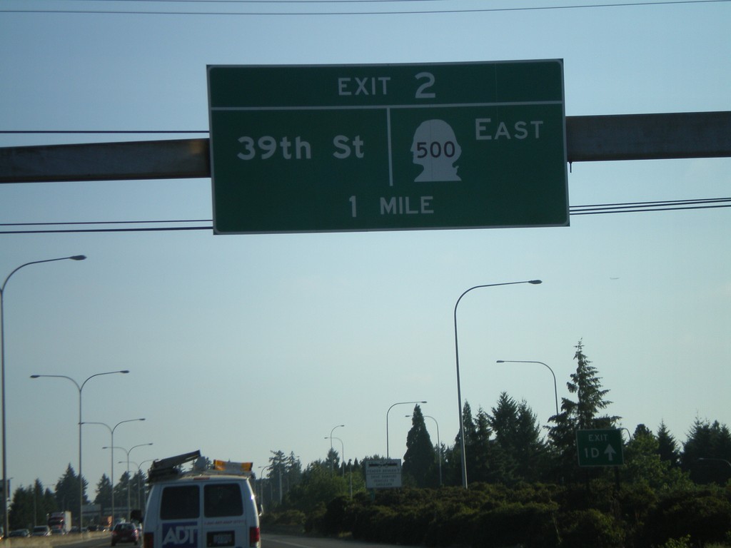
I-5 North - Exit 2
I-5 north approaching Exit 2 - WA-500 East/39th St.
Taken 07-24-2008

 Vancouver
Clark County
Washington
United States
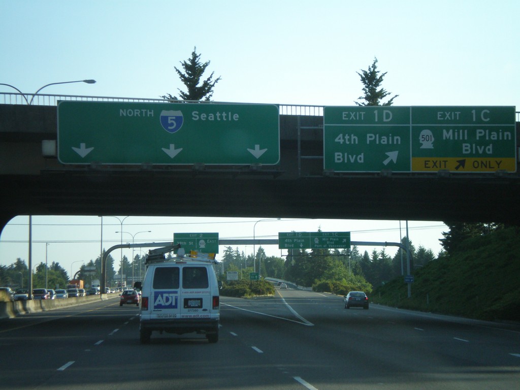
I-5 North - Exit 1C and Exit 1D
I-5 north at Exit 1C - WA-501/Mill Plain Blvd./Port of Vancouver and Exit 1D - 4th Plain Blvd.
Taken 07-24-2008

 Vancouver
Clark County
Washington
United States
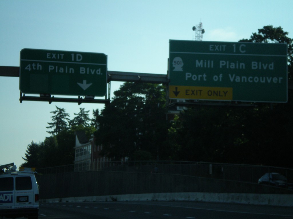
I-5 North - Exit 1C and Exit 1D
I-5 north approaching Exit 1C - WA-501/Mill Plain Blvd./Port of Vancouver and Exit 1D - 4th Plain Blvd.
Taken 07-24-2008

 Vancouver
Clark County
Washington
United States
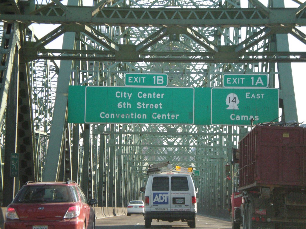
I-5 North - Exit 1A and Exit 1B (Washington)
I-5 north approaching Washington Exit 1A - WA-14 East/Camas and Exit 1B - City Center/6th St./Convention Center. Taken on Interstate Bridge over Columbia River.
Taken 07-24-2008
 Portland
Multnomah County
Oregon
United States
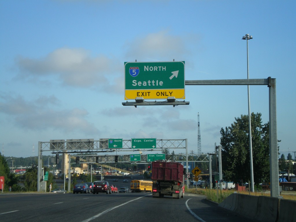
Marine Drive West at I-5 North
Marine Drive west at I-5 north onramp to Seattle.
Taken 07-24-2008
 Portland
Multnomah County
Oregon
United States
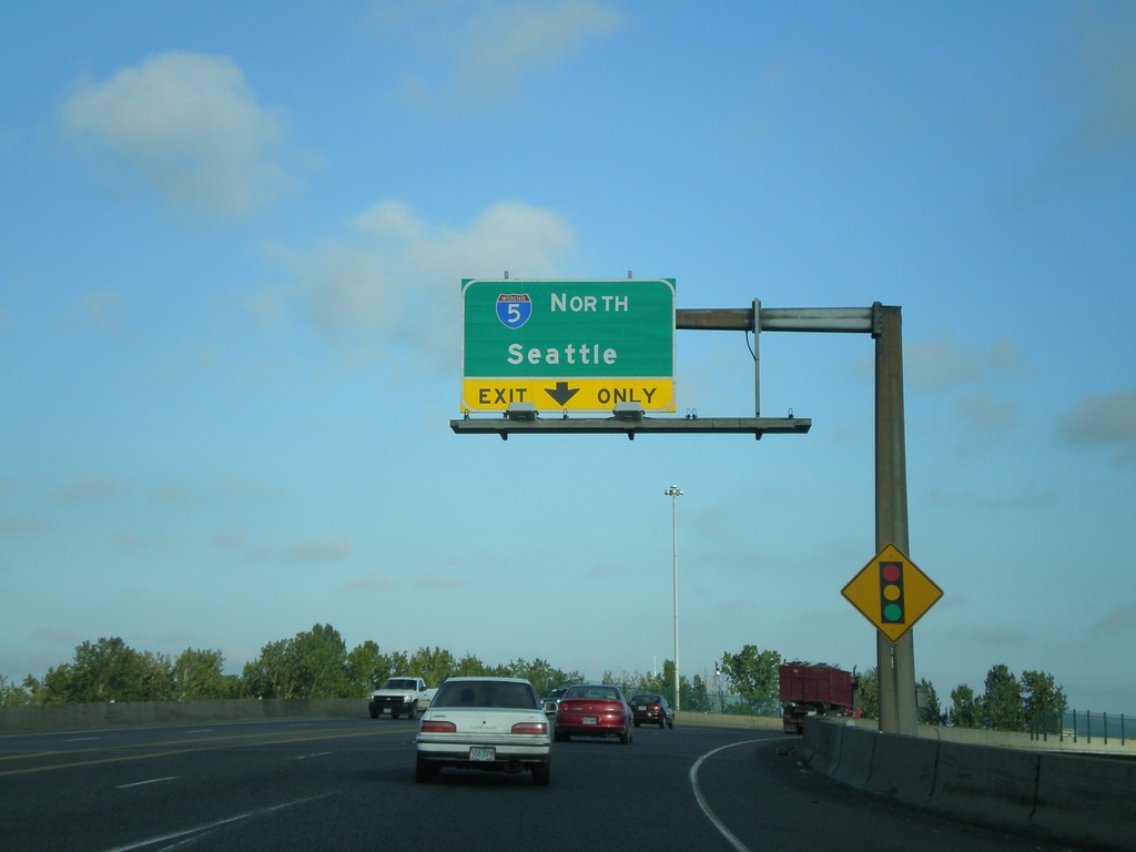
Marine Drive West Approaching I-5 North
Marine Drive west approaching I-5 north onramp (Exit 307) towards Seattle.
Taken 07-24-2008
 Portland
Multnomah County
Oregon
United States
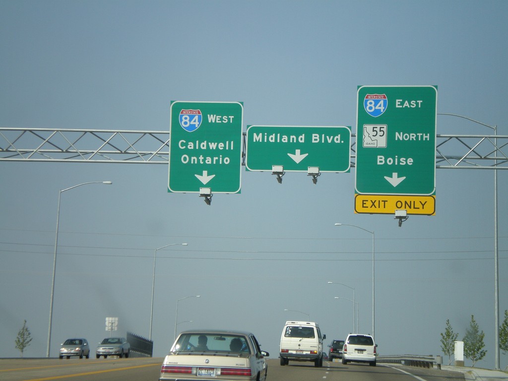
ID-55 North at I-84
ID-55 east at I-84. Take I-84 west to Caldwell and Ontario. I-84 east towards Boise. ID-55 joins I-84 east to Meridian. This is a new interchange, completed in 2007. Before this, all ID-55 traffic was routed through downtown Nampa to get to the interstate.
Taken 07-07-2008


 Nampa
Canyon County
Idaho
United States
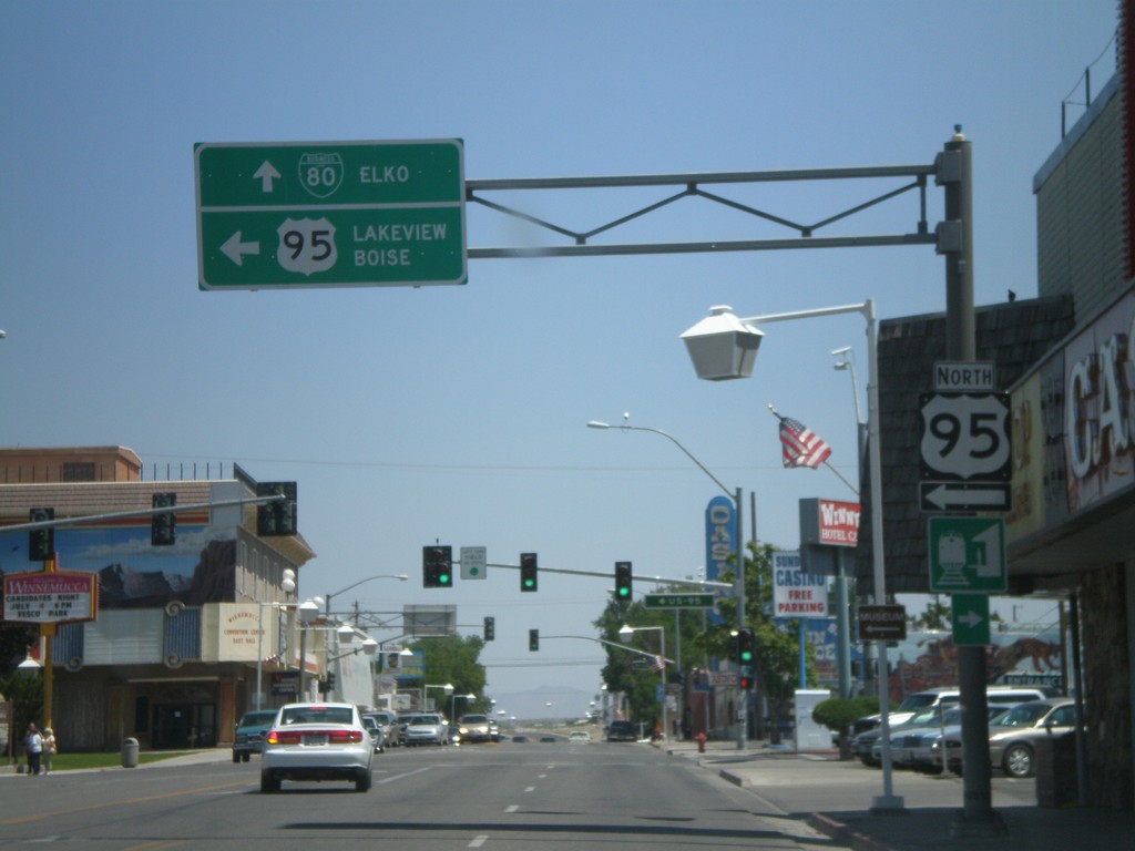
US-95 North/BL-80 in Winnemucca
BL-80 East/US-95 North (Winnemucca Blvd.) at US-95 north Melarkey St. Continue straight for BL-80 to Elko. Turn left for US-95 to Lakeview (OR) and Boise(ID).
Taken 07-07-2008

 Winnemucca
Humboldt County
Nevada
United States
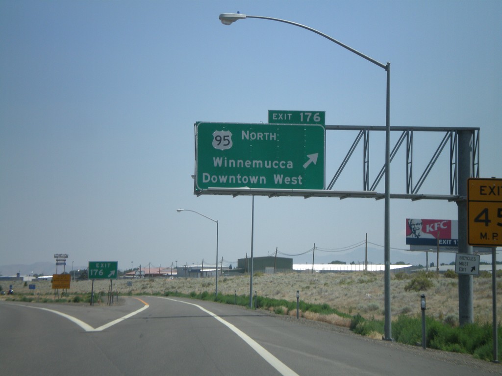
I-80 East Exit 176
I-80 east at Exit 176 - US-95 North/Winnemucca/Downtown West
Taken 07-07-2008

 Winnemucca
Humboldt County
Nevada
United States