Signs Tagged With Pass
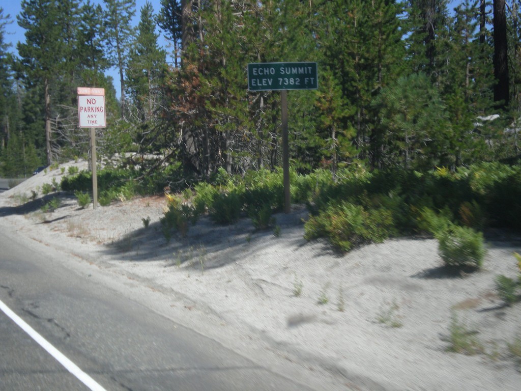
US-50 West - Echo Summit
US-50 west at Echo Summit -Elevation 7382 Feet. This is the summit of the Sierra Nevada on US-50 and the divide between the American River drainage and Lake Tahoe, which drains to the Truckee River.
Taken 08-12-2016
 Nebelhorn
El Dorado County
California
United States
Nebelhorn
El Dorado County
California
United States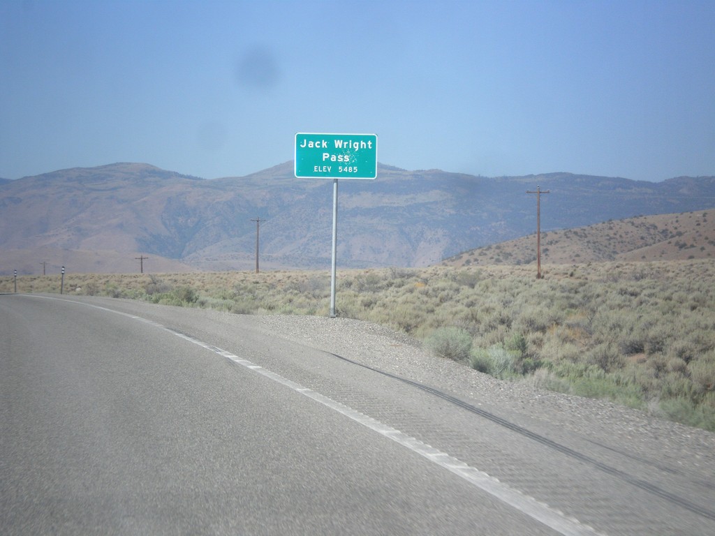
NV-208 West - Jack Wright Pass
Jack Wright Pass - Elevation 5484 Feet.
Taken 08-12-2016
 Smith Valley
Lyon County
Nevada
United States
Smith Valley
Lyon County
Nevada
United States
NV-431 East - Mount Rose Summit
NV-431 East at Mount Rose Summit - Elevation 8900 Feet. Mount Rose Summit is one of the few Sierra Nevada passes in Nevada, and is the highest pass open year round in the Sierra Nevada.
Taken 07-28-2012
 Reno
Washoe County
Nevada
United States
Reno
Washoe County
Nevada
United States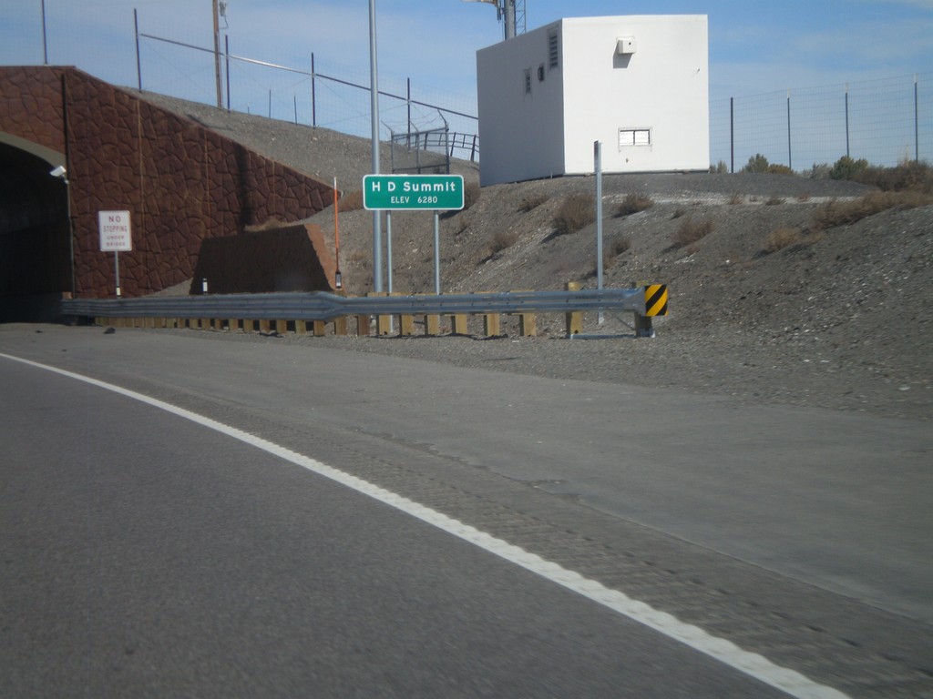
US-93 North - H-D Summit
US-93 north at H-D Summit - Elevation 6,280. The overpass in the background is a recently installed wildlife crossing over the highway. H-D Summit is the northern end of the Great Basin on US-93. North of here all water flows into the Snake River system.
Taken 10-15-2011
 Melandco
Elko County
Nevada
United States
Melandco
Elko County
Nevada
United States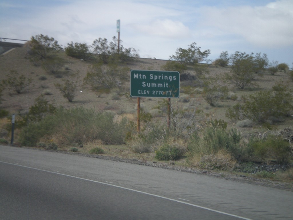
I-40 West - Mountain Springs Summit
I-40 west at Mountain Springs Summit - Elevation 2770 Feet.
Taken 02-25-2011
 Goffs
San Bernardino County
California
United States
Goffs
San Bernardino County
California
United States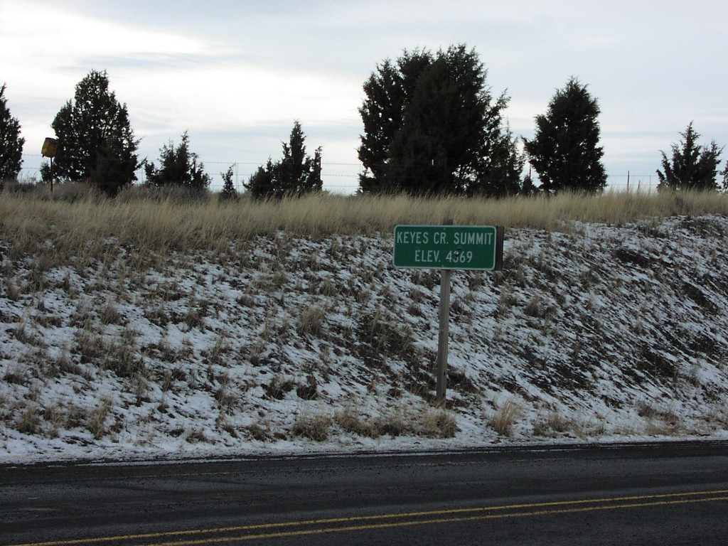
US-26 West - Keyes Creek Summit
US-26 at Keyes Creek Summit, Elevation 4,569 Feet.
Taken 12-01-2006
 Mitchell
Wheeler County
Oregon
United States
Mitchell
Wheeler County
Oregon
United States