Signs Tagged With Scenic Byway
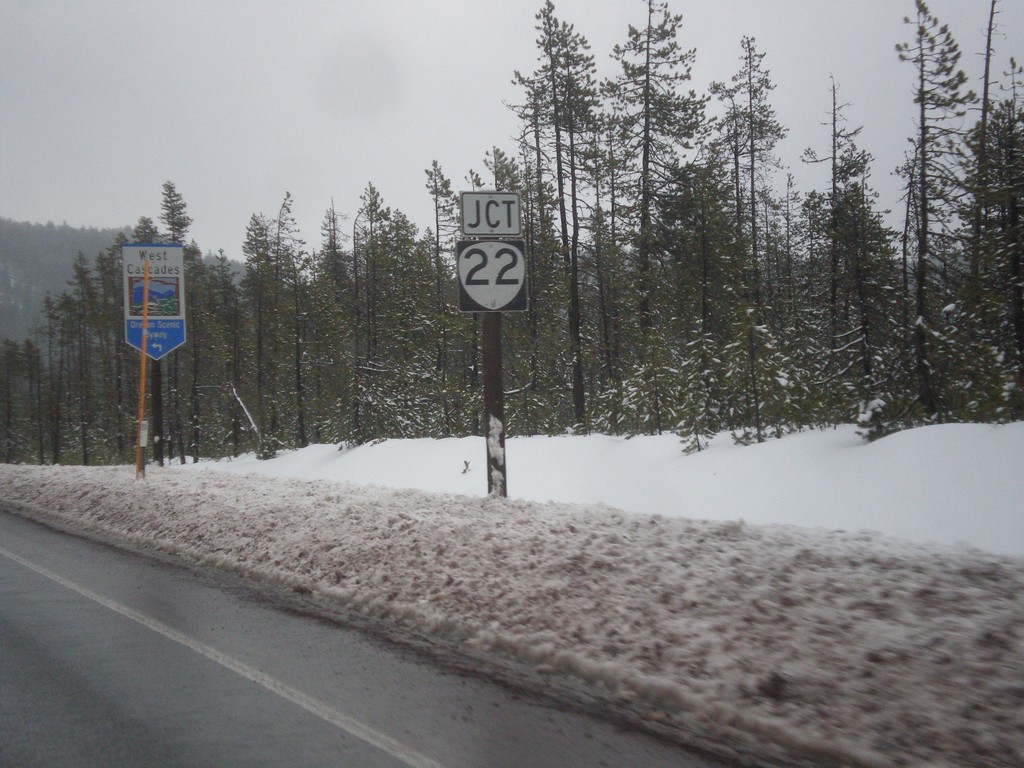
US-20/OR-126 East Approaching OR-22
US-20/OR-126 East approaching OR-22 in Linn County. In background is a West Cascades Scenic Byway sign. Turn left on OR-22 to continue on West Cascades Scenic Byway.
Taken 02-16-2014


 Sisters
Linn County
Oregon
United States
Sisters
Linn County
Oregon
United States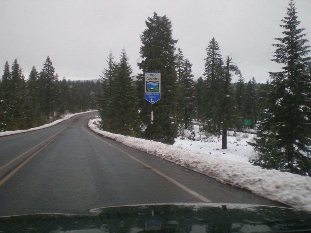
US-20 East - West Cascades Scenic Byway
US-20 east approaching OR-126. Turn right on OR-126 and continue ahead on US-20/OR-126 for West Cascades Scenic Byway.
Taken 02-16-2014
Santiam Junction
Linn County
Oregon
United States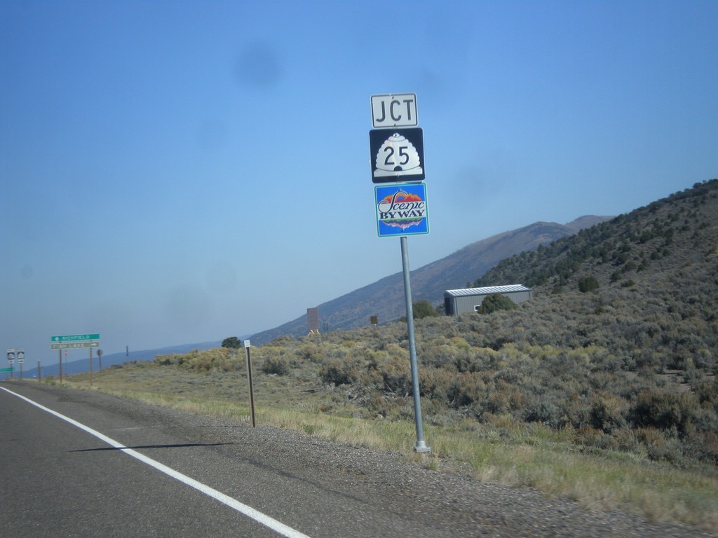
UT-24 West Approaching UT-25
UT-24 west approaching UT-25 in Piute County. UT-25 is part of the Fish Lake Scenic Byway.
Taken 10-18-2013

 Koosharem
Piute County
Utah
United States
Koosharem
Piute County
Utah
United States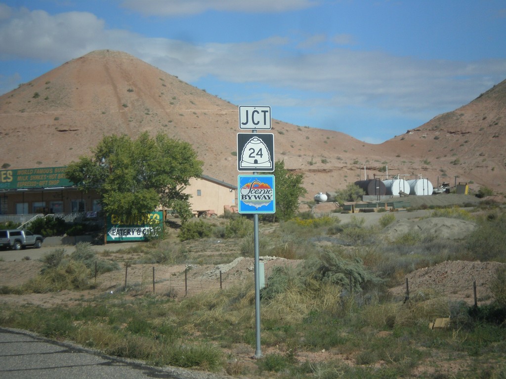
UT-95 West Approaching UT-24
UT-95 west approaching UT-24 in Hanksville. UT-24 west of Hanksville is designated the Capitol Reef Country Scenic Byway.
Taken 10-14-2013
 Hanksville
Wayne County
Utah
United States
Hanksville
Wayne County
Utah
United States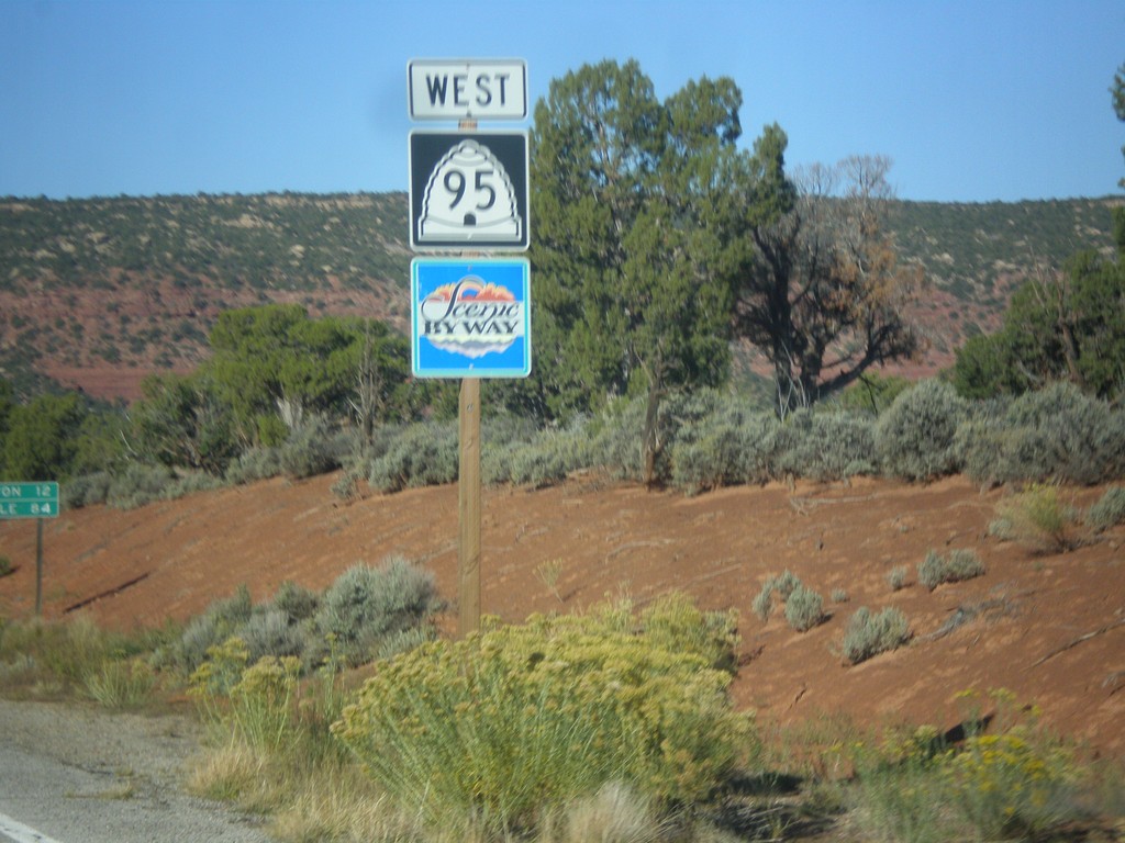
UT-95 West
UT-95 west in San Juan County. UT-95 is part of the Bicentennial-Trail of the Ancients Scenic Byway.
Taken 10-14-2013
Lake Powell
San Juan County
Utah
United States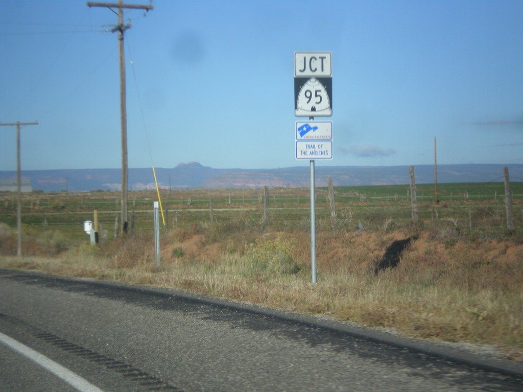
US-191 South Approaching UT-95
US-191 south approaching UT-95. UT-95 is part of the Trail of the Ancients Scenic Byway.
Taken 10-14-2013
 Blanding
San Juan County
Utah
United States
Blanding
San Juan County
Utah
United States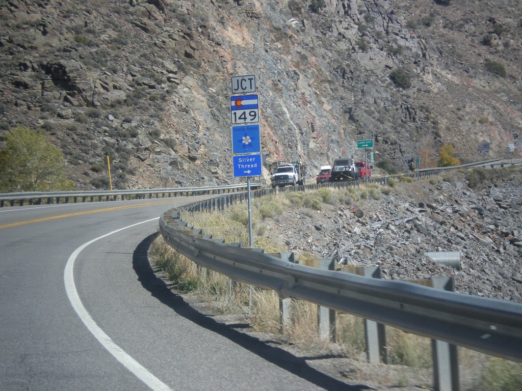
US-50 East Approaching CO-149
US-50 east approaching CO-149 in Gunnison County. CO-149 is part of the Silver Thread Scenic Byway.
Taken 10-08-2013

 Gunnison
 County
Colorado
United States
Gunnison
Gunnison County
Colorado
United States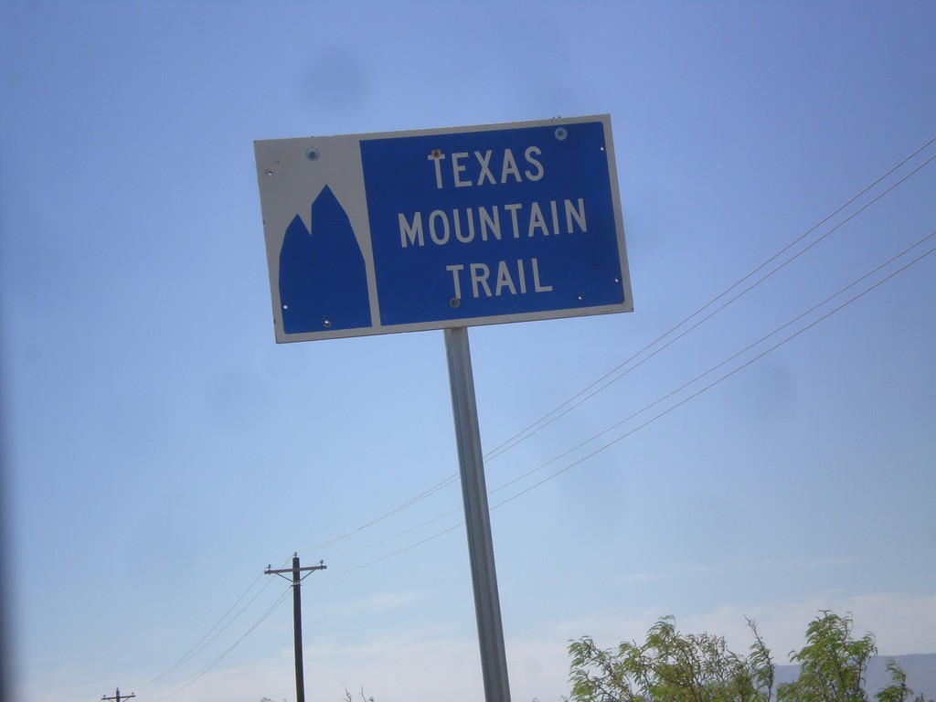
TX-54 South - Texas Mountain Trail
Texas Mountain Trail sign on TX-54 south. This part of Texas is the Texas Mountain Trail region, of the Texas Heritage Trails program.
Taken 04-15-2013
 Van Horn
Culberson County
Texas
United States
Van Horn
Culberson County
Texas
United States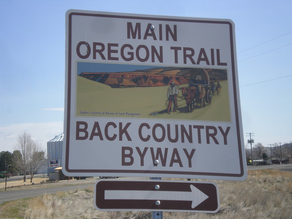
Old Oregon Trail at BL-84 (1st St.)
East Old Oregon Trail Highway at BL-84 (1st St) in Glenns Ferry. Turn right to take 1st St. into Glenns Ferry. The 1st St. is part of the Main Oregon Trail Back Country Byway.
Taken 03-16-2013
 Glenns Ferry
Elmore County
Idaho
United States
Glenns Ferry
Elmore County
Idaho
United States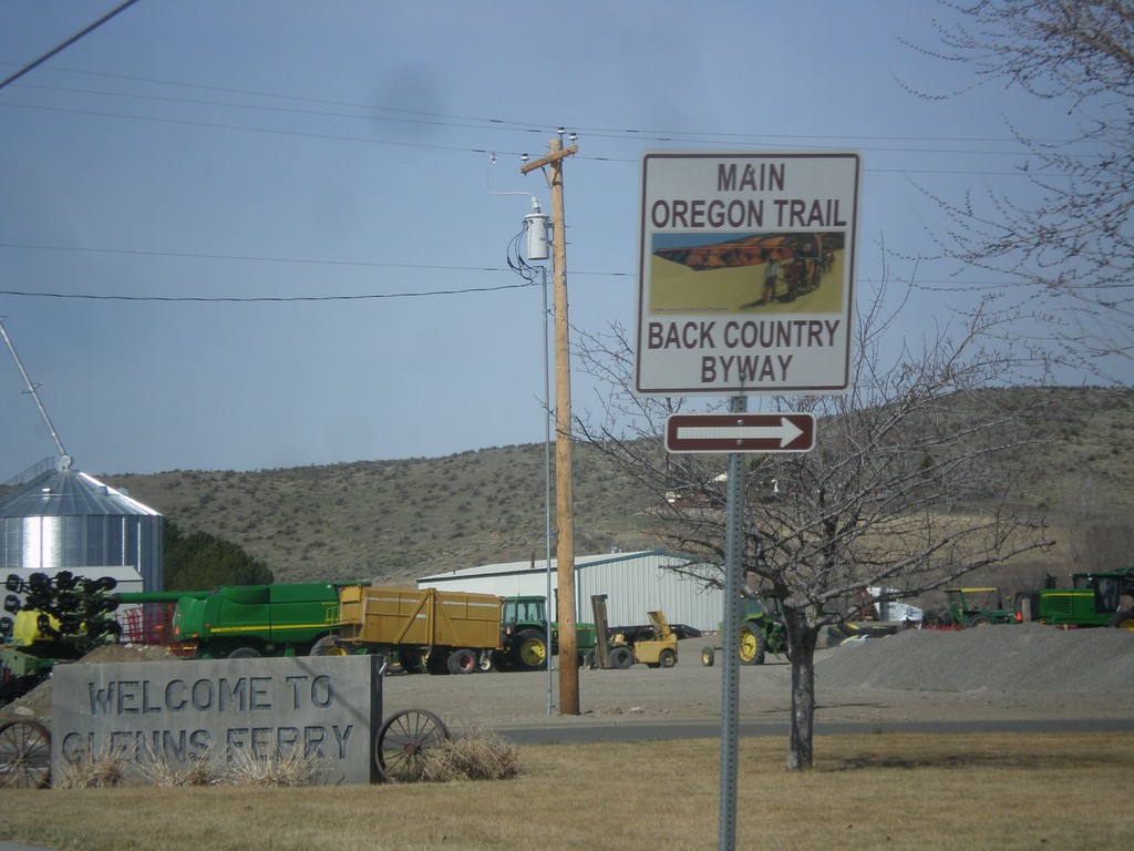
BL-84 West - Main Oregon Trail Back Country Byway
Turn right on to continue on the Oregon Trail Back Country Byway and BL-84 (Railroad Ave) in Glenns Ferry.
Taken 03-16-2013
Glenns Ferry
Elmore County
Idaho
United States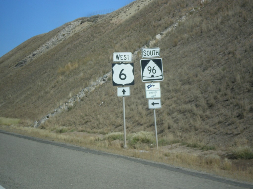
US-6 West at UT-96
US-6 west at UT-96 south. UT-96 is part of the Energy Loop Byway.
Taken 10-20-2012

 Colton
Utah County
Utah
United States
Colton
Utah County
Utah
United States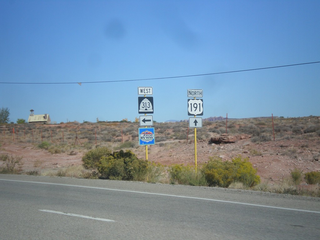
US-191 North at UT-313
US-191 North at UT-313. UT-313 is signed as a Utah Scenic Byway. UT-313 connects US-191 with Dead Horse Point State Park, and the Island in the Sky unit of Canyonlands.
Taken 10-17-2012
 Moab
Grand County
Utah
United States
Moab
Grand County
Utah
United States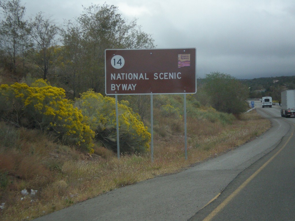
NM-14 North - National Scenic Byway
NM-14 north National Scenic Byway and New Mexico Scenic Byway sign. This is the start of the Turquoise Trail.
Taken 10-12-2012
 Tijeras
Bernalillo County
New Mexico
United States
Tijeras
Bernalillo County
New Mexico
United States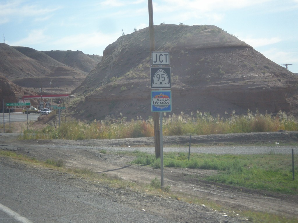
UT-24 East at UT-95
UT-24 east approaching UT-95 in Hanksville. UT-95 is a Utah Scenic Byway.
Taken 10-10-2012
Hanksville
Wayne County
Utah
United States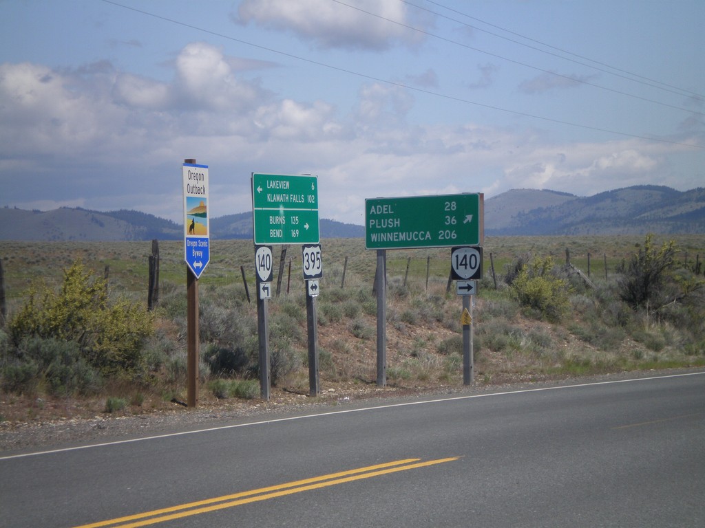
US-395 North/OR-140 East at Split
US-395 North/OR-140 East at US-395/OR-140 split. Turn right for OR-140 east to Adel, Plush, and Winnemucca (Nevada). Continue north on US-395 for Burns and Bend. US-395 is part of the Oregon Outback Scenic Byway.
Taken 05-28-2012

 Lakeview
Lake County
Oregon
United States
Lakeview
Lake County
Oregon
United States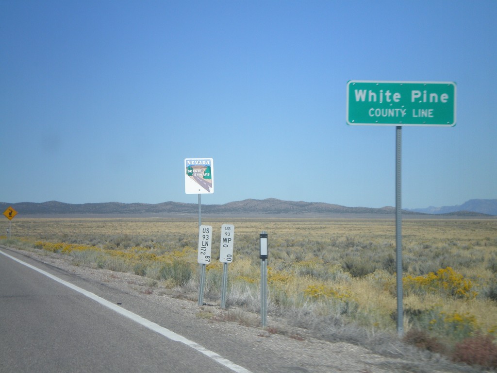
US-93 North - White Pine County Line
White Pine County Line on US-93 north. The sign behind the county line designates this stretch of US-93 as a Nevada Scenic Byway.
Taken 10-14-2011
 Pioche
White Pine County
Nevada
United States
Pioche
White Pine County
Nevada
United States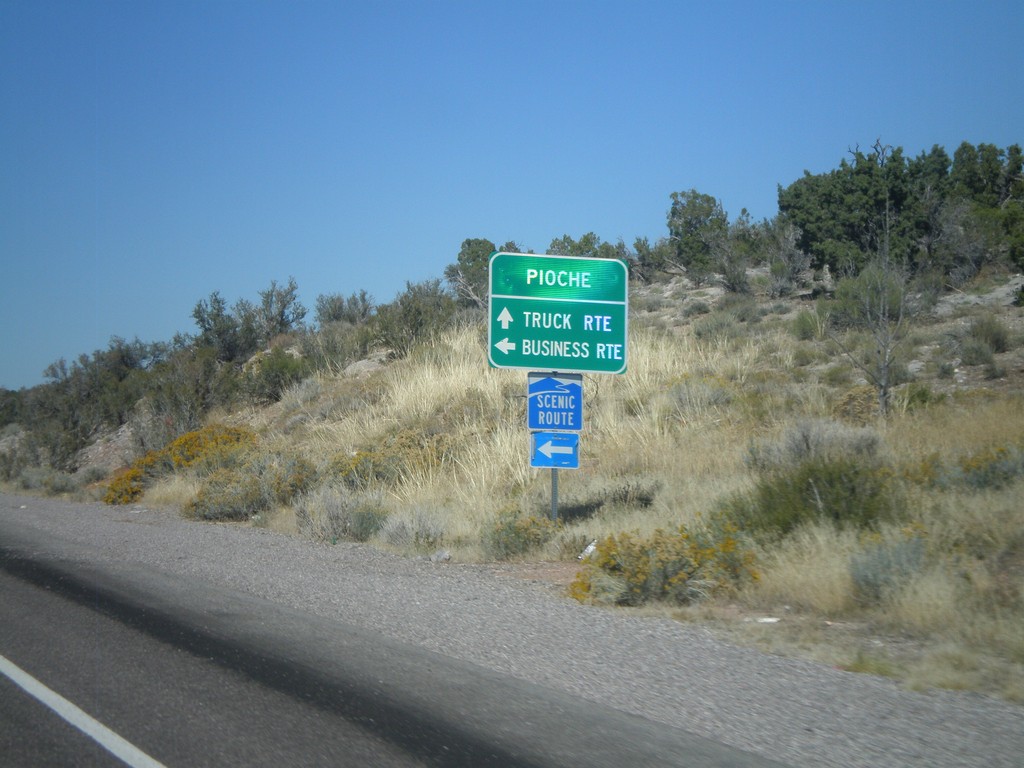
US-93 North at NV-321
US-93 north at NV-321 (Business US-93) to Pioche. Turn left for business route into Pioche. Continue ahead for truck route into Pioche. NV-321 is a Nevada Scenic Byway.
Taken 10-14-2011

 Pioche
Lincoln County
Nevada
United States
Pioche
Lincoln County
Nevada
United States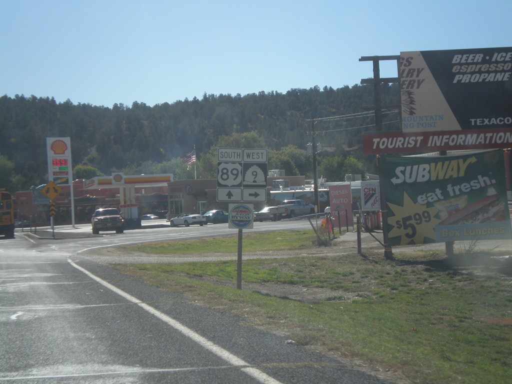
US-89 South at UT-9
US-89 south at UT-9 at Mt Carmel Junction. UT-9 is a Utah Scenic Byway.
Taken 10-13-2011

 Orderville
Kane County
Utah
United States
Orderville
Kane County
Utah
United States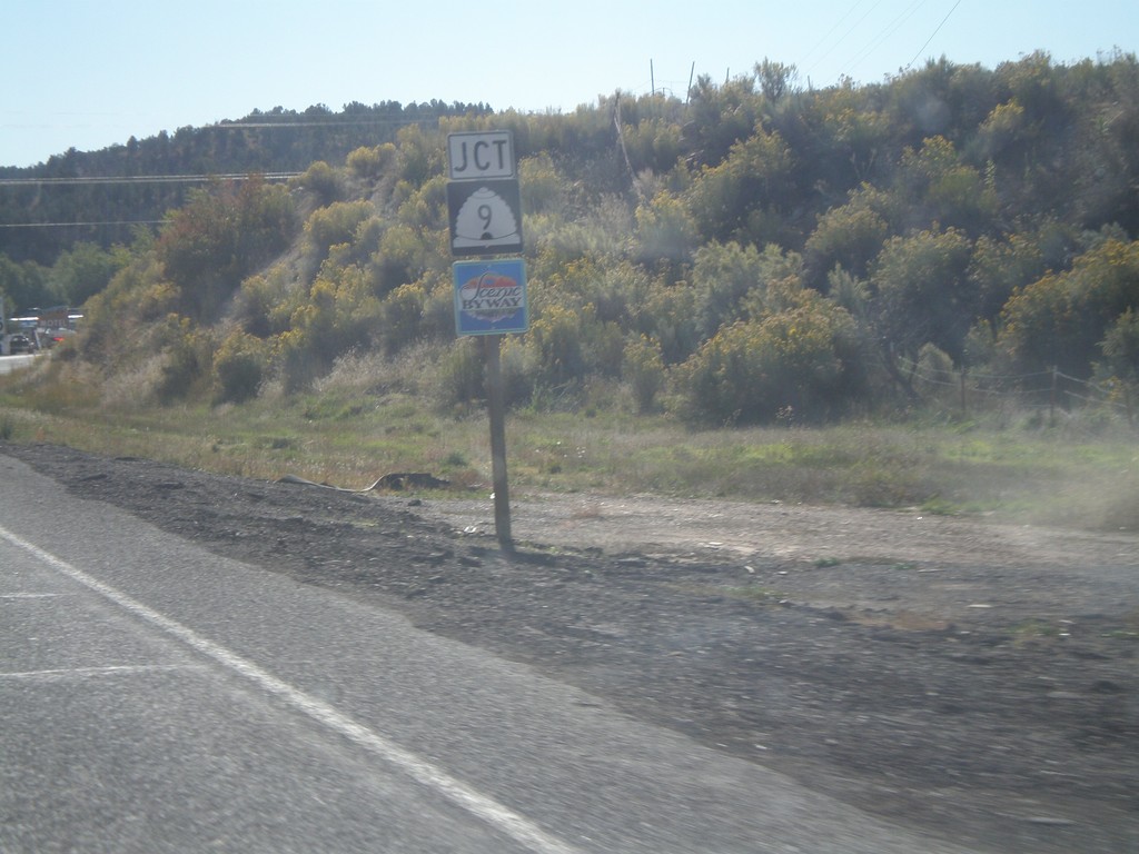
US-89 South Approaching UT-9
US-89 south approaching UT-9 south. UT-9 south is a Utah Scenic Byway.
Taken 10-13-2011
Orderville
Kane County
Utah
United States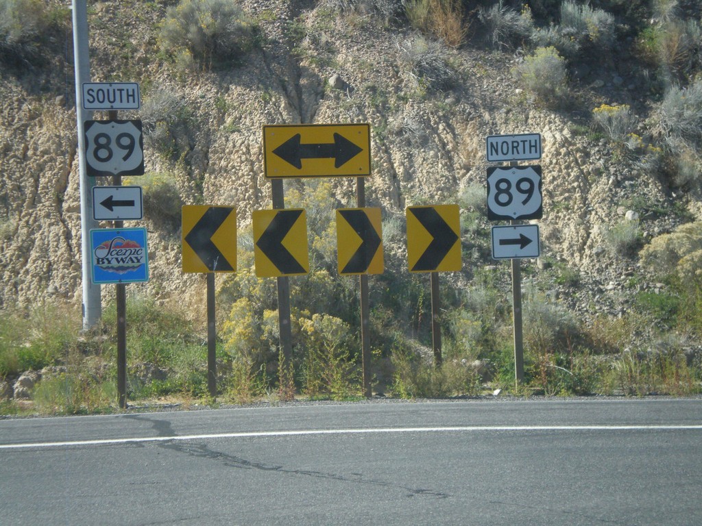
End UT-12 West at US-89
End UT-12 west at US-89. US-89 south is signed as a Utah Scenic Byway.
Taken 10-13-2011
 Panguitch
Garfield County
Utah
United States
Panguitch
Garfield County
Utah
United States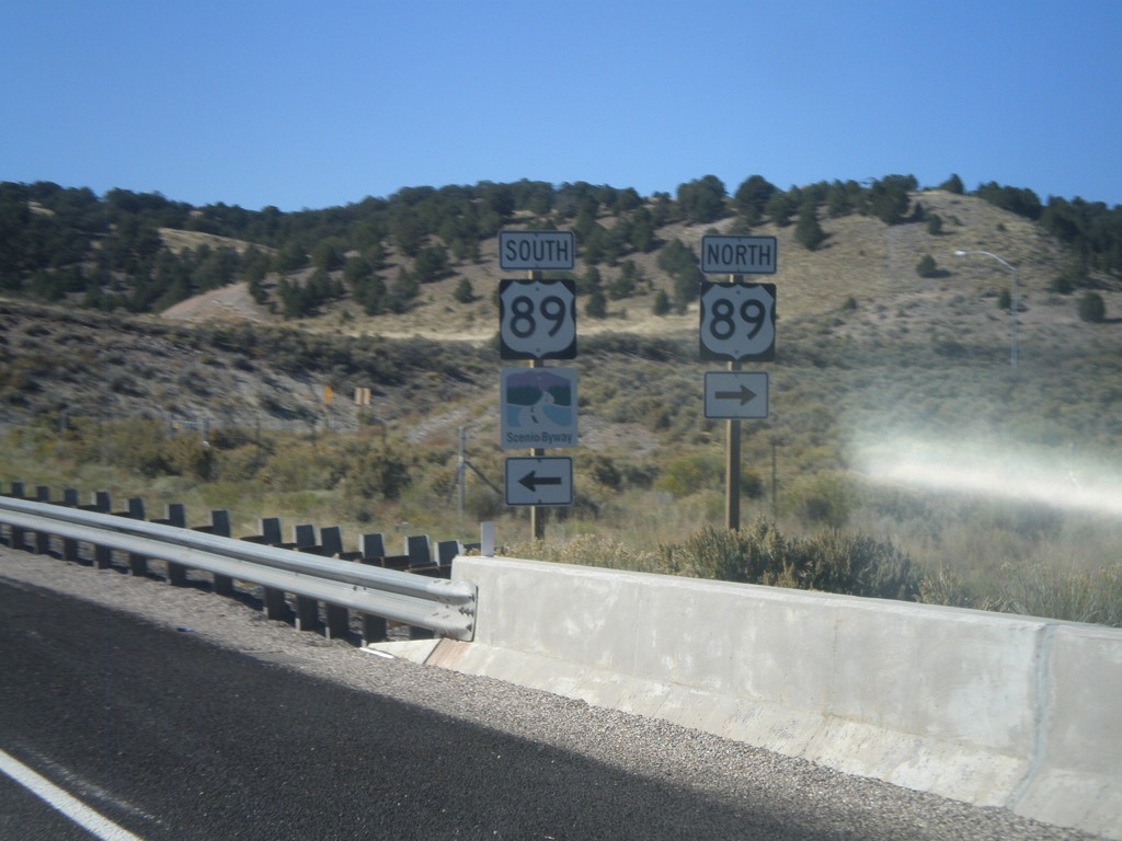
End UT-12 West at US-89
End UT-12 West at US-89. US-89 south is signed as a Utah Scenic Byway.
Taken 10-13-2011
Panguitch
Garfield County
Utah
United States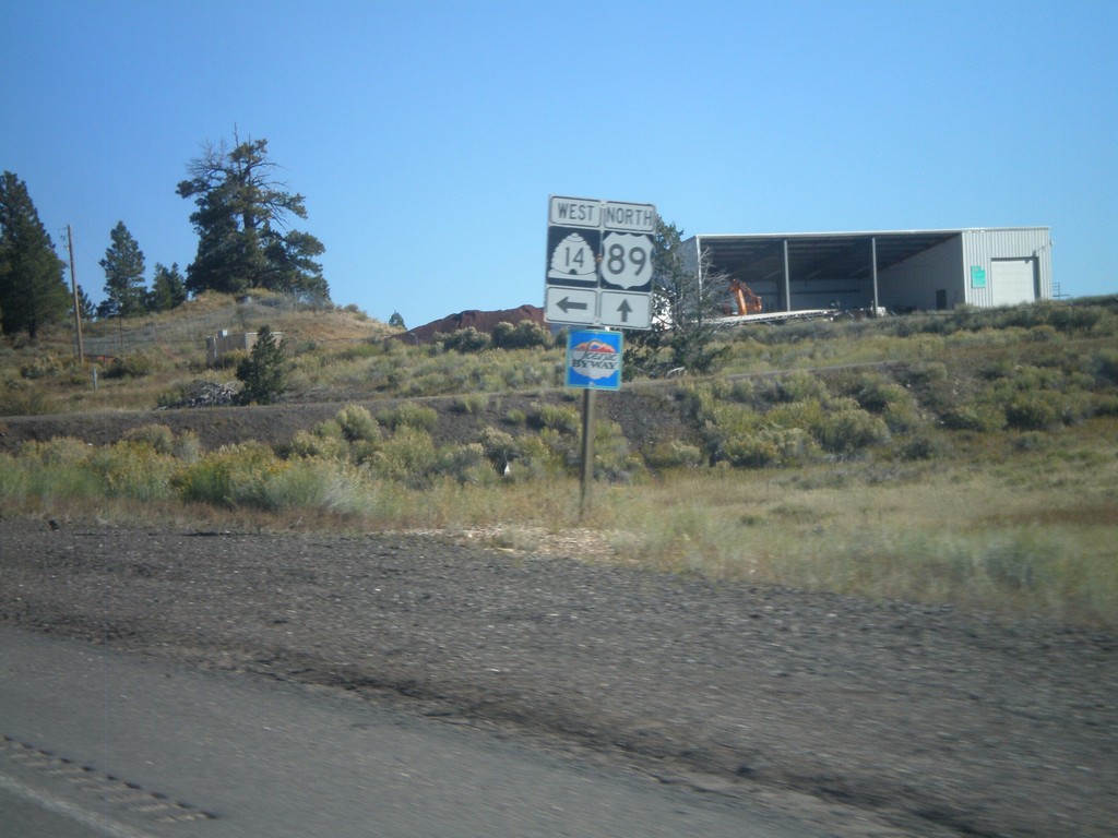
US-89 North at UT-14 West
US-89 north at UT-14 west. Both UT-14 and US-89 are Utah Scenic Byways.
Taken 10-13-2011
 Alton
Kane County
Utah
United States
Alton
Kane County
Utah
United States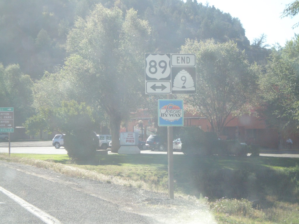
End UT-9 East at US-89
End UT-9 East at US-89 at Mt. Carmel Junction. US-89 is marked as a Utah Scenic Byway.
Taken 10-13-2011
Orderville
Kane County
Utah
United States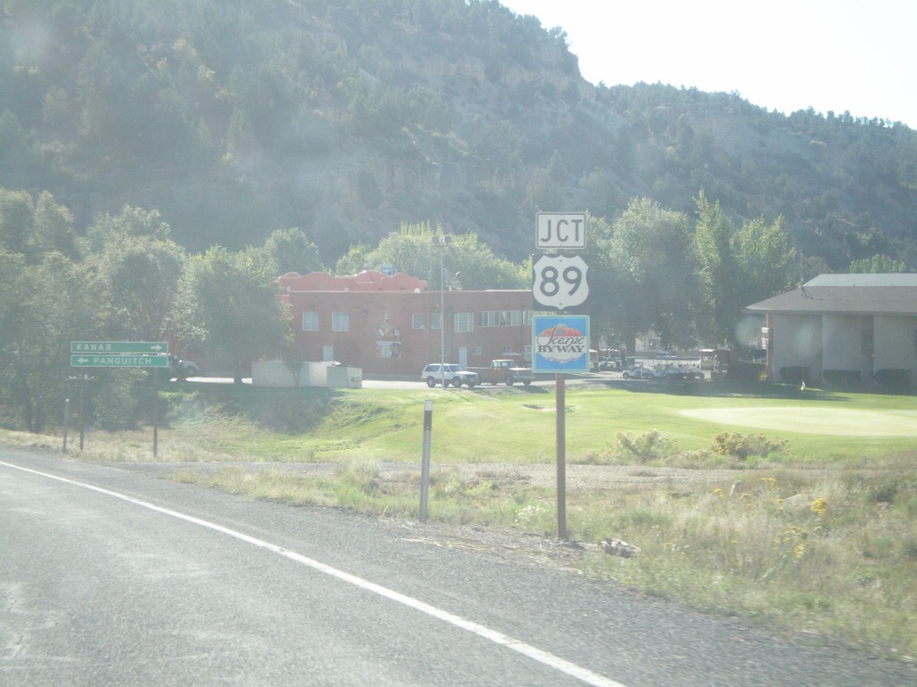
UT-9 East Approaching US-89
UT-9 East approaching US-89 at Mt. Carmel Junction. US-89 is signed as a Utah Scenic Byway.
Taken 10-13-2011
Orderville
Kane County
Utah
United States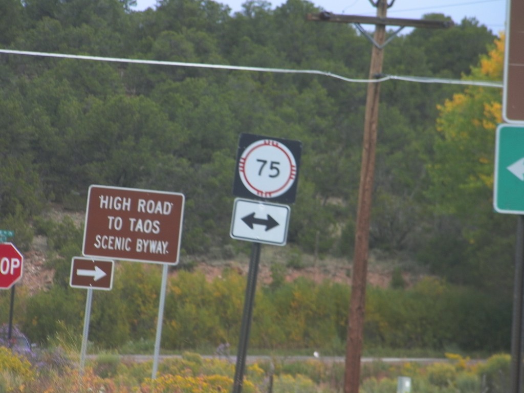
End NM-76 North at NM-75
End NM-76 north at NM-75. Turn right on NM-76 north to continue on the High Road To Taos Scenic Byway.
Taken 10-03-2011

 Peñasco
Taos County
New Mexico
United States
Peñasco
Taos County
New Mexico
United States