Signs Tagged With Scenic Byway
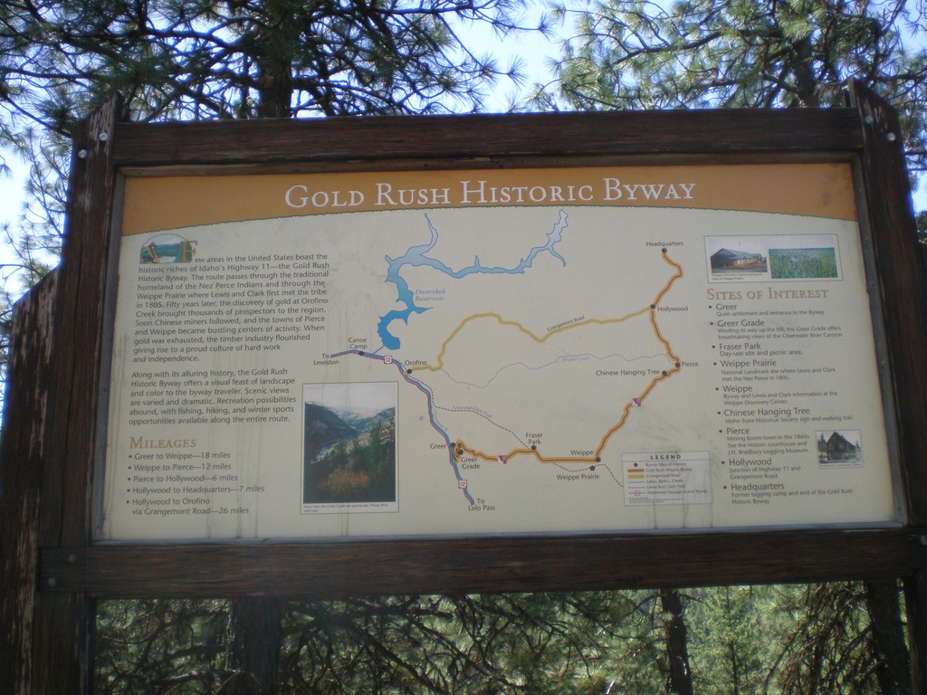
Gold Rush Historic Byway
Gold Rush Historic Byway sign on ID-11.
Taken 05-21-2009
 Orofino
Clearwater County
Idaho
United States
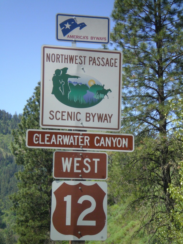
US-12 West - Northwest Passage Scenic Byway
Northwest Passage Scenic Byway (Clearwater Canyon) on US-12 west.
Taken 05-21-2009
 Kooskia
Idaho County
Idaho
United States
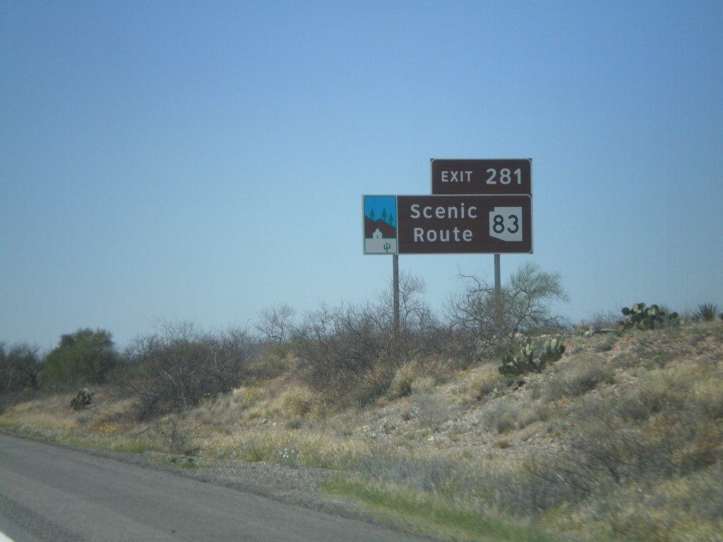
I-10 West Approaching Exit 281
I-10 west approaching Exit 281. AZ-83 is an Arizona Scenic Route.
Taken 03-22-2009

 Vail
Pima County
Arizona
United States
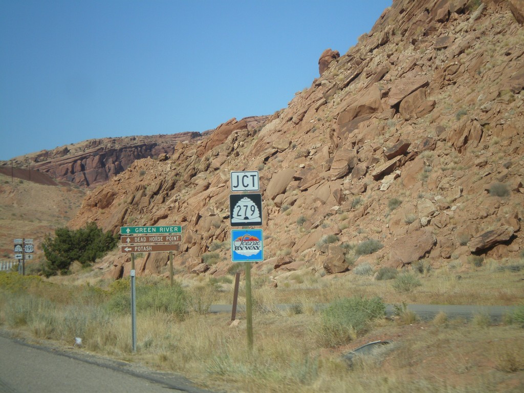
US-191 North Approaching UT-279
US-191 north approaching UT-279. UT-279 is signed as a Utah scenic byway.
Taken 10-24-2008

 Moab
Grand County
Utah
United States
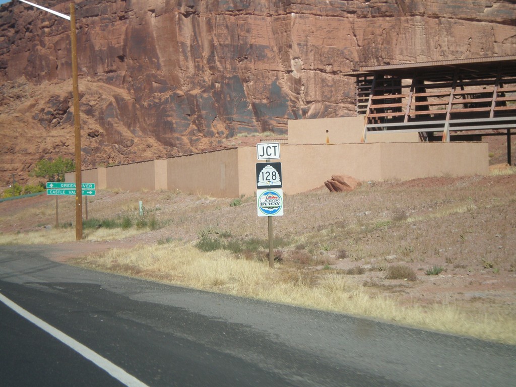
US-191 North Approaching UT-128
US-191 north approaching UT-128. UT-128 is signed as a Utah scenic byway.
Taken 10-24-2008

 Moab
Grand County
Utah
United States
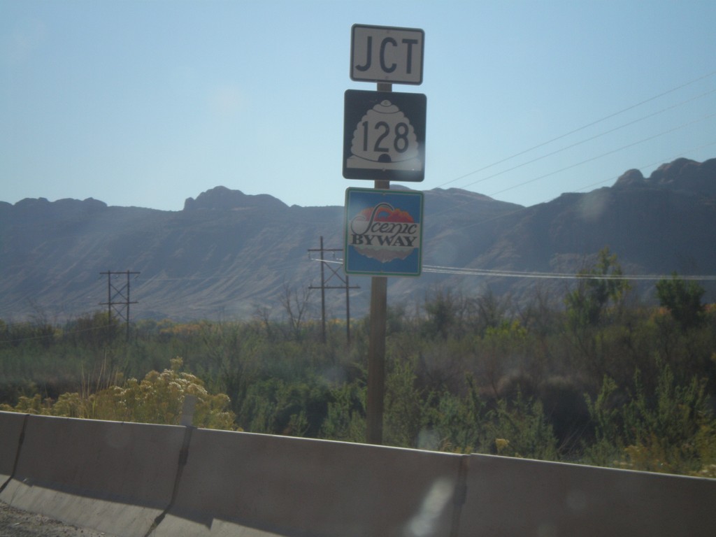
US-191 South Approaching UT-128
US-191 south approaching UT-128 east. UT-128 is marked as a Utah scenic byway.
Taken 10-24-2008

 Moab
Grand County
Utah
United States
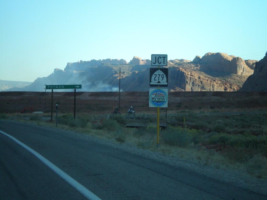
US-191 South Approaching UT-279
US-191 south approaching UT-279 west to Potash. UT-279 is marked as a Utah scenic byway.
Taken 10-22-2008

 Moab
Grand County
Utah
United States
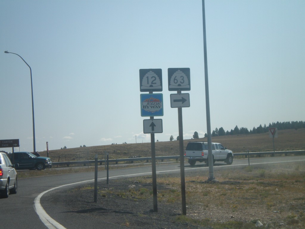
UT-12 East at UT-63 South
UT-12 at approaching UT-63.
Taken 10-12-2008

 Bryce
Garfield County
Utah
United States
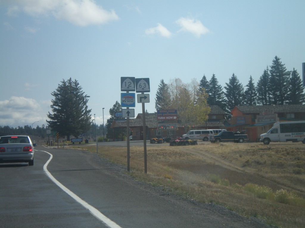
UT-12 East Approaching UT-63
UT-12 east approaching UT-63.
Taken 10-12-2008

 Bryce
Garfield County
Utah
United States
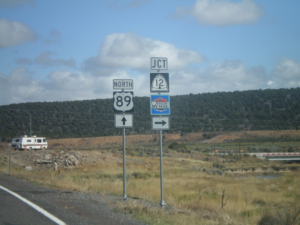
US-89 North at UT-12 East
US-89 north at UT-12 east. UT-12 is marked as a Utah scenic byway.
Taken 10-12-2008

 Panguitch
Garfield County
Utah
United States
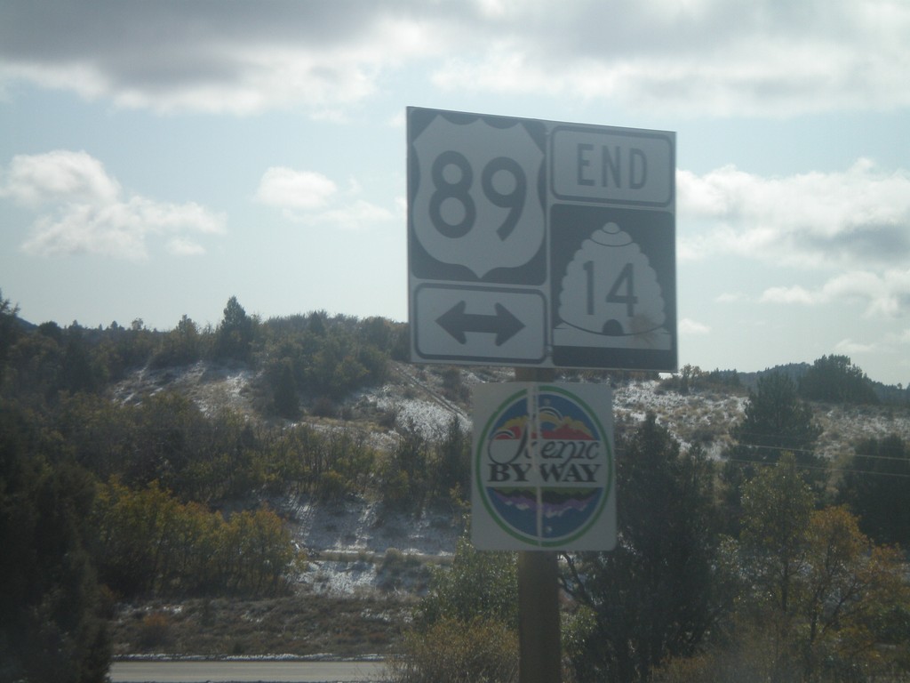
End UT-14 East at US-89
End UT-14 east at US-89. US-89 is marked as a Utah scenic byway.
Taken 10-12-2008

 Alton
Kane County
Utah
United States
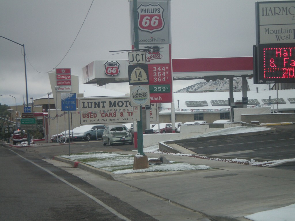
UT-130 North Approaching UT-14
UT-130 north approaching UT-14. UT-14 is marked as a Utah scenic byway.
Taken 10-12-2008

 Cedar City
Iron County
Utah
United States
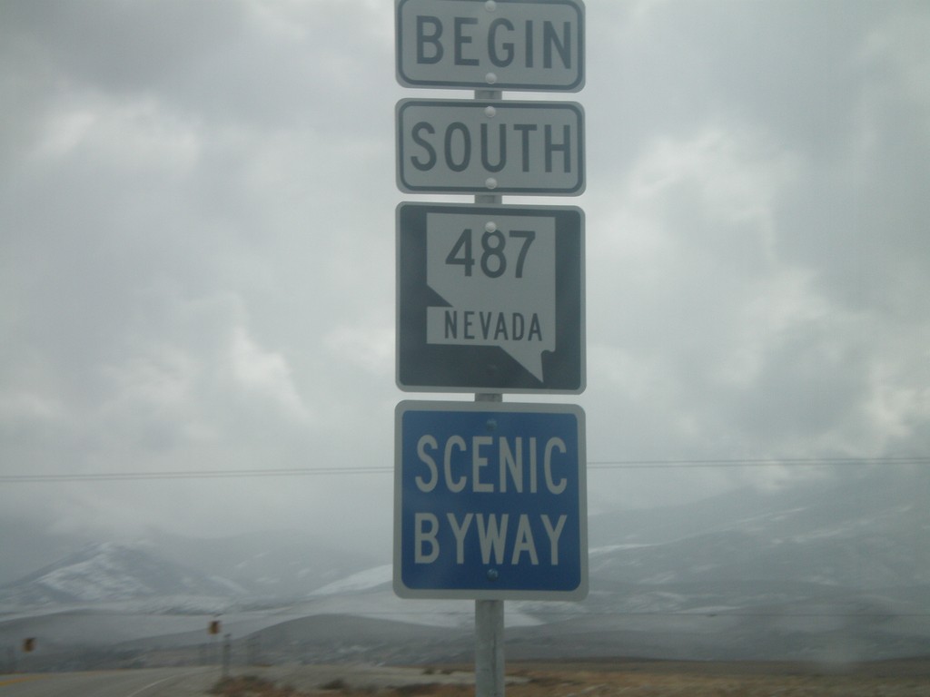
Begin NV-487 South
Begin NV-487 south in White Pine County. NV-487 is designated as a Nevada Scenic Byway for the entire length of the route.
Taken 10-11-2008


 Baker
White Pine County
Nevada
United States
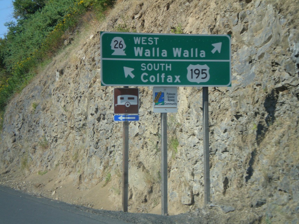
US-195 South at WA-26 West
US-195 south to Colfax at WA-26 West to Walla Walla.
Taken 07-27-2008

 Colfax
Whitman County
Washington
United States
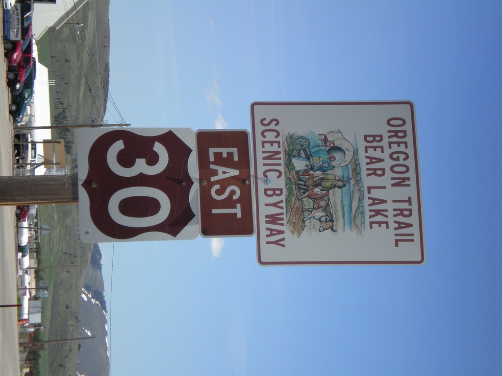
US-30 East - Oregon Trail Bear Lake Scenic Byway
US-30 East in Soda Springs - Oregon Trail - Bear Lake Scenic Byway.
Taken 05-19-2008
 Soda Springs
Caribou County
Idaho
United States
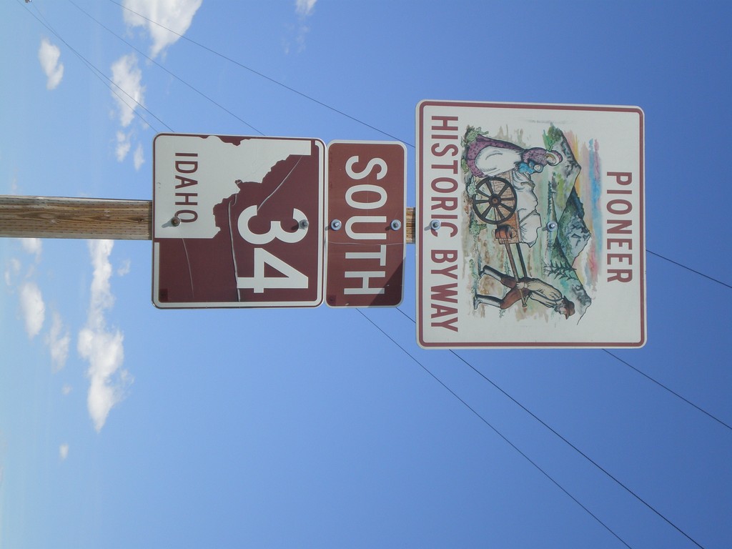
ID-34 South - Pioneer Historic Byway
ID-34 south in Caribou County - Pioneer Historic Byway.
Taken 05-19-2008
 Wayan
Caribou County
Idaho
United States
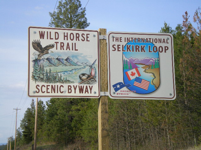
US-95 North - Wild Horse Trail Scenic Byway/International Selkirk Loop
Wild Horse Trail Scenic Byway and International Selkirk Loop signs on US-95 north.
Taken 05-06-2008

 Naples
Boundary County
Idaho
United States
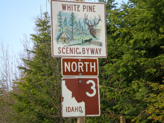
ID-3 North - White Pine Scenic Byway
White Pine Scenic Byway on ID-3 north.
Taken 05-05-2008
 Saint Maries
Kootenai County
Idaho
United States
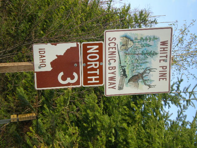
ID-3 North - White Pine Scenic Byway
White Pine Scenic Byway on ID-3 north.
Taken 05-05-2008
 Saint Maries
Kootenai County
Idaho
United States
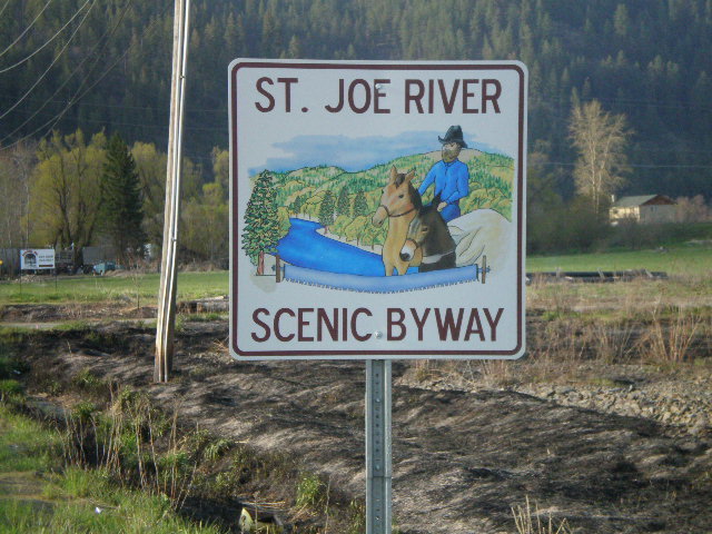
St. Joe River Scenic Byway
St. Joe River Scenic Byway on St. Joe River Road east.
Taken 05-05-2008
 Saint Maries
Benewah County
Idaho
United States
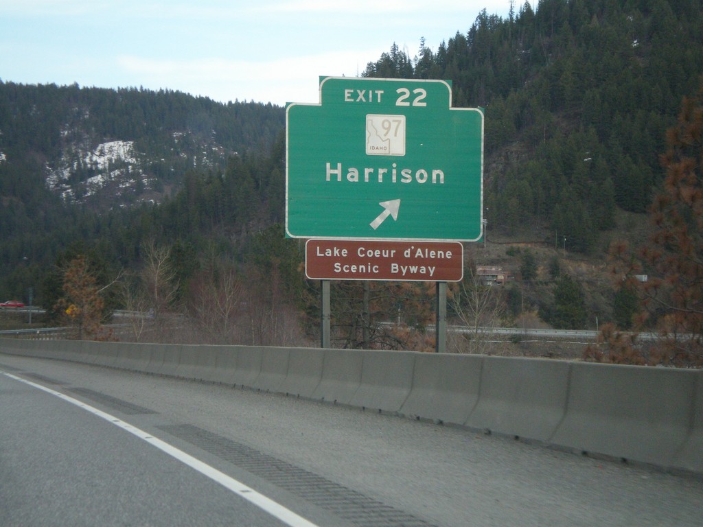
I-90 East - Exit 22
I-90 east at Exit 22 - ID-97/Harrison.
Taken 04-13-2008

 Wolf Lodge
Kootenai County
Idaho
United States
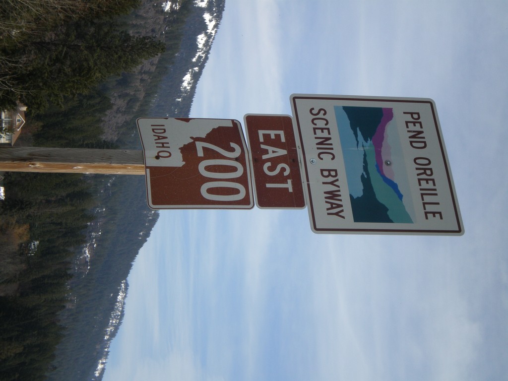
ID-200 East - Pend Oreille Scenic Byway
ID-200 East - Pend Oreille Scenic Byway
Taken 04-13-2008
 Hope
Bonner County
Idaho
United States
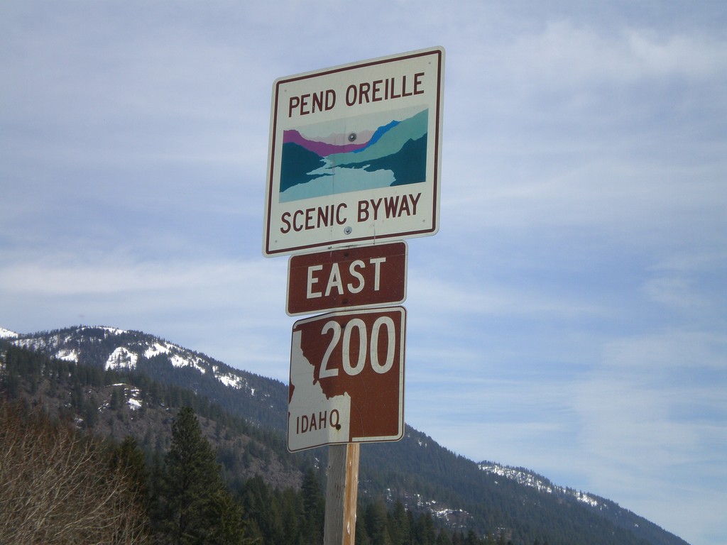
ID-200 East - Pend Oreille Scenic Byway
ID-200 East - Pend Oreille Scenic Byway
Taken 04-13-2008
 Hope
Bonner County
Idaho
United States
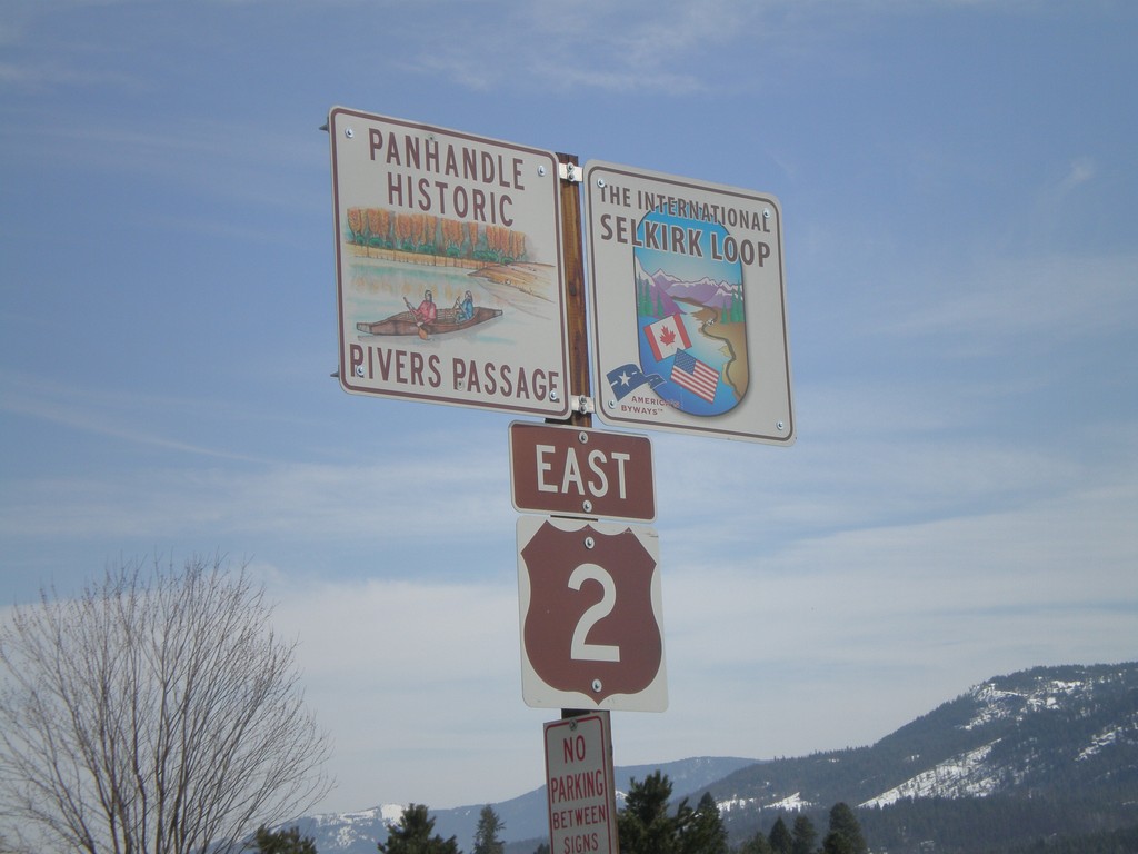
US-2 East - Panhandle Historic Rivers Passage/International Selkirk Loop
US-2 east - Panhandle Historic Rivers Passage and The International Selkirk Loop.
Taken 04-13-2008
 Laclede
Bonner County
Idaho
United States
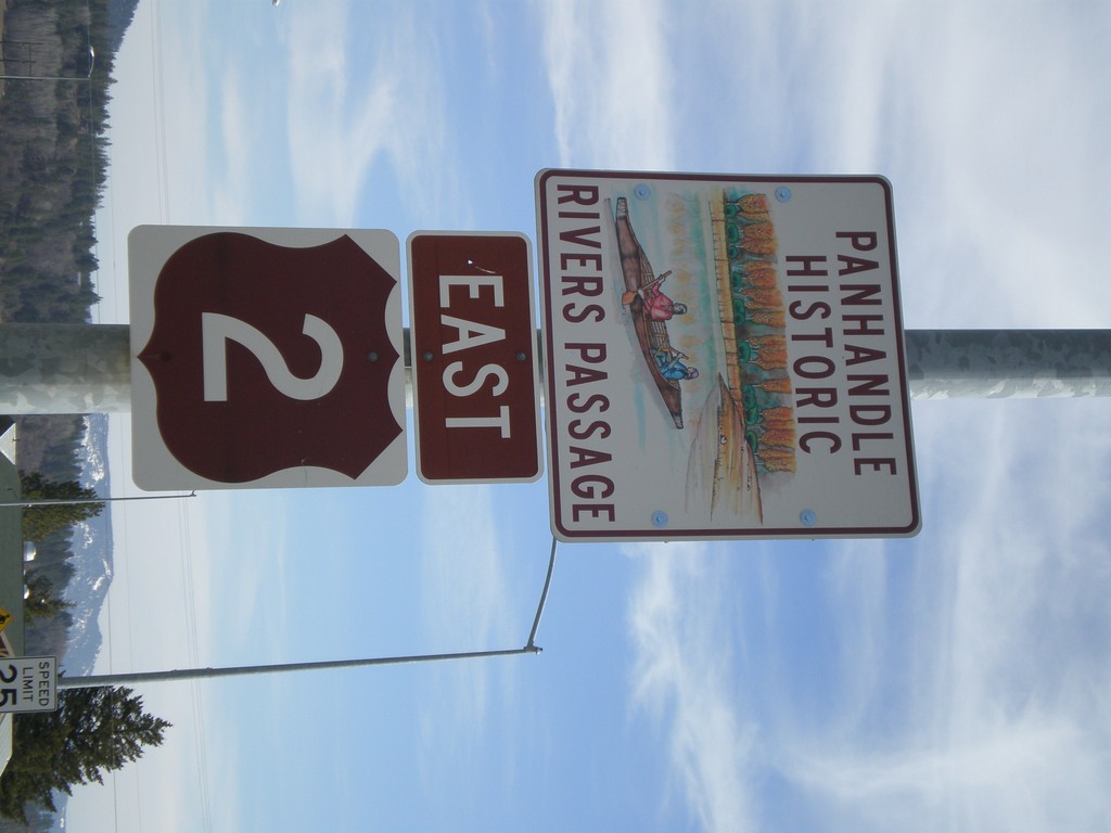
US-2 East - Panhandle Historic Rivers Passage
US-2 - Panhandle Historic Rivers Passage. This is the first US-2 shield in Idaho.
Taken 04-13-2008
 Oldtown
Bonner County
Idaho
United States