Signs Tagged With Scenic Byway
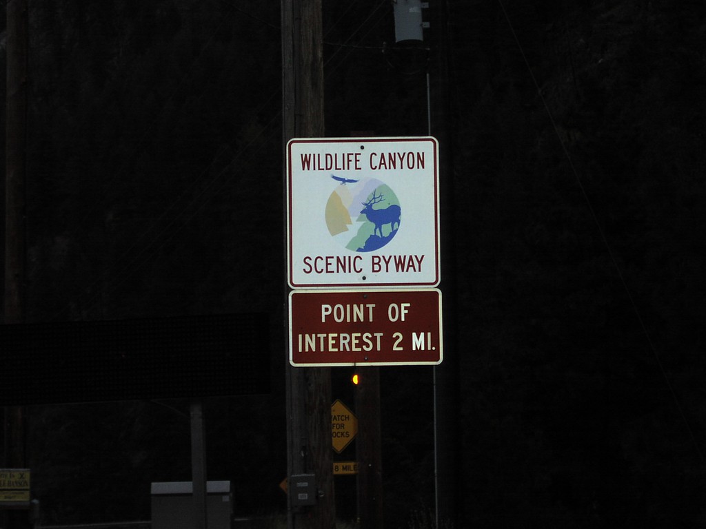
Banks-Lowman Hwy. - Wildlife Canyon Scenic Byway
Wildlife Canyon Scenic Byway on Banks-Lowman Road
Taken 09-01-2004
Banks Boise County Idaho United States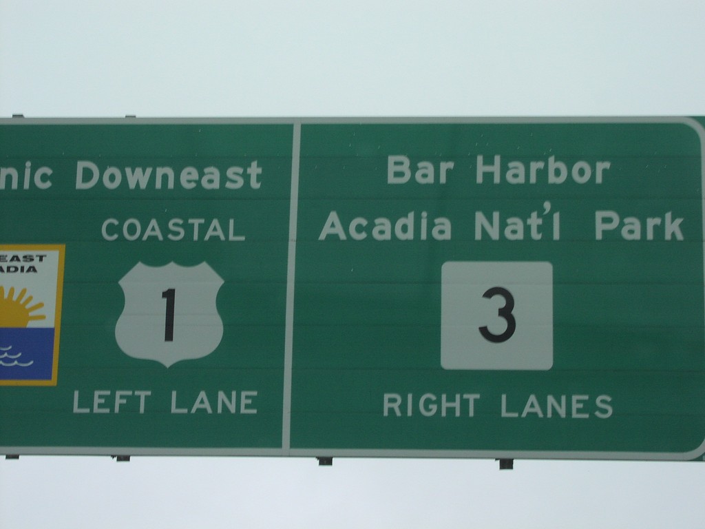
US-1 North at ME-3 East
Coastal US-1/ME-3 Junction Closeup
Taken 07-01-2004

 Ellsworth
Hancock County
Maine
United States
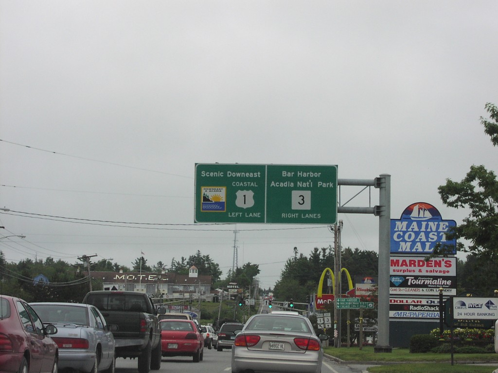
US-1 North at ME-3
Coastal US-1/ME-3 Junction to Downeast Maine and Bar Harbor
Taken 07-01-2004

 Ellsworth
Hancock County
Maine
United States
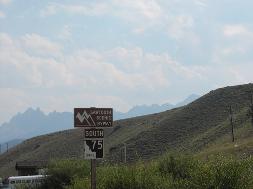
ID-75 South - Sawtooth Scenic Byway
Sawtooth Scenic Byway on ID-75 south. The Sawtooth Scenic Byway starts here in Stanley and follows ID-75 south to Shoshone. The peaks of the Sawtooth Range are in the background.
Taken 08-01-2001
 Stanley
Custer County
Idaho
United States
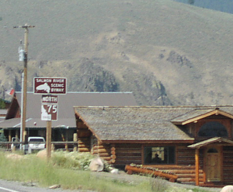
ID-75 North - Salmon River Scenic Byway
Salmon River Scenic Byway on ID-75 north. The Salmon River Scenic Byway starts here in Stanley and follows ID-75 north to Challis. Then the byway follows US-93 north to the Montana line.
Taken 08-01-2001
 Stanley
Custer County
Idaho
United States
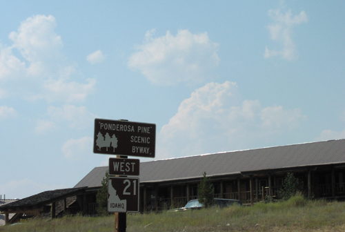
ID-21 West - Ponderosa Pine Scenic Byway
Ponderosa Pine Scenic Byway on ID-21 west. The Ponderosa Pine Scenic Byway starts here in Stanley and follows ID-21 west to Boise.
Taken 08-01-2001
 Stanley
Custer County
Idaho
United States
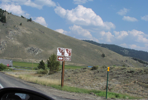
ID-21 East Approaching ID-75
ID-21 East approaching ID-75 in Stanley. ID-21 east ends here,
Taken 08-01-2001

 Stanley
Custer County
Idaho
United States
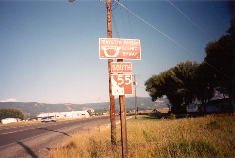
ID-55 South - Payette River Scenic Byway
Payette River Scenic Byway on ID-55 south.
Taken 09-01-2000
 New Meadows
Adams County
Idaho
United States
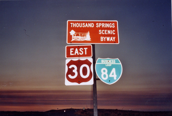
US-30 East - Thousand Springs Scenic Byway
US-30/BL-84 East - Thousand Springs Scenic Byway
Taken 08-01-2000

 Bliss
Gooding County
Idaho
United States
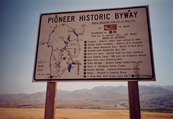
Pioneer Historic Byway Information
Pioneer Historic Byway Information on US-91.
Taken 08-01-2000
 Franklin
 County
Idaho
United States
Franklin
Franklin County
Idaho
United States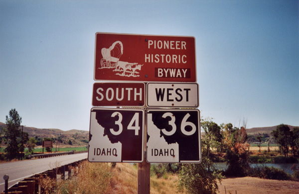
ID-36 West/ID-34 South - Pioneer Historic Byway
Pioneer Historic Byway/ID-34/ID-36 on ID-36 West at the Bear River.
Taken 08-01-2000

 Preston
Franklin County
Idaho
United States
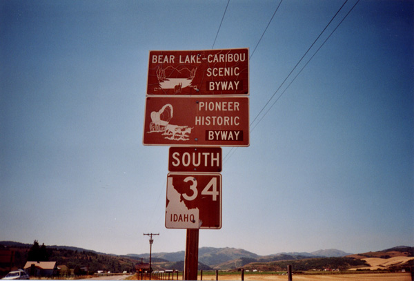
ID-34 South - Scenic Byways
ID-34 Shield, Bear Lake-Caribou Scenic Byway, and Pioneer Historic Byway. Taken at the Idaho/Wyoming Border in the Star Valley.
Taken 08-01-2000
 Wayan
Caribou County
Idaho
United States
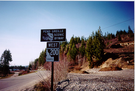
ID-200 West - Pend Oreille Scenic Byway
Pend Orielle Scenic Byway/ID-200 on ID-200 West, MT-ID State Line
Taken 05-01-1999
 Heron
Sanders County
Montana
United States
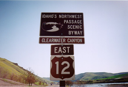
US-12 East - Idaho's Northwest Passage Scenic Byway
US-12 East - Idaho’s Northwest Passage Scenic Byway along the Clearwater River in Nez Perce County.
Taken 04-01-1999
 Lapwai
Nez Perce County
Idaho
United States
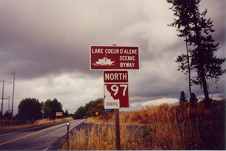
ID-97 North - Lake Coeur d'Alene Scenic Byway
Lake Coeur d’Alene Scenic Byway on ID-97 North. The Lake Coeur d’Alene Scenic Byway follows ID-97 from ID-3 north to I-90 along the east shore of Lake Coeur d’Alene.
Taken 09-01-1998
 Saint Maries
Kootenai County
Idaho
United States
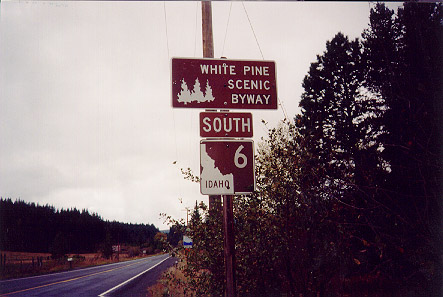
ID-6 South - White Pine Scenic Byway
ID-6 South, the White Pine Scenic Byway near Santa in Benewah County.
Taken 09-01-1998
 Saint Maries
Benewah County
Idaho
United States
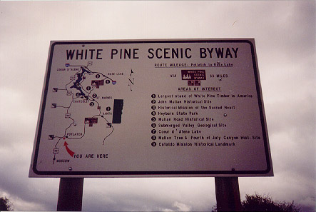
ID-6 - White Pine Scenic Byway
White Pine Scenic Byway map along ID-6 in Potlatch. Each scenic byway in Idaho has one of these maps near the beginning and end of each byway.
Taken 09-01-1998
 Potlatch
Latah County
Idaho
United States
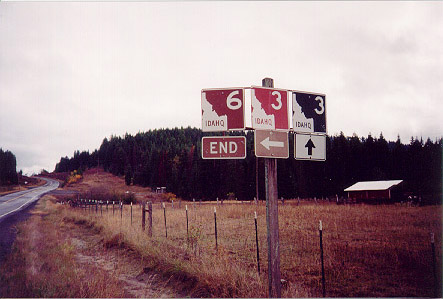
End ID-6 East at ID-3
End ID-6 east at ID-3. The brown shields indicate a state scenic byway, in this case White Pine Scenic Byway. The White Pine Scenic Byway turns north on ID-3 here.
Taken 09-01-1998

 Saint Maries
Benewah County
Idaho
United States