Signs Tagged With Errant Shield
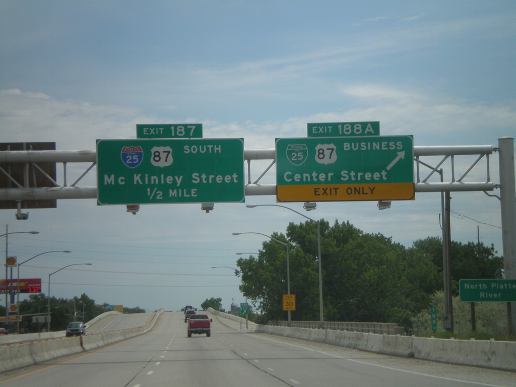
I-25 South - Exits 188A and 187
I-25 south at Exit 188A - BL-25/BL-87/Center St. Approaching Exit 187 - McKinley St. Exit 187 is signed as I-25 and US-87 south, but this is an error. Neither highway exit at McKinley St.
Taken 07-04-2011


 Casper
Natrona County
Wyoming
United States
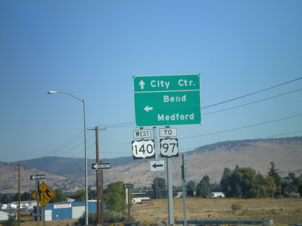
Washburn Way North at OR-140 West
Washburn Way north at OR-140 west to Medford and Bend, and US-97. Continue north on Washburn Way for City Center (Klamath Falls). The OR-140 shield is incorrectly represented as a US shield.
Taken 09-25-2010
 Klamath Falls
Klamath County
Oregon
United States
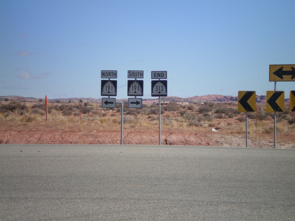
End UT-313 North at US-191
End UT-313 north at US-191. US-191 shields are incorrectly signed as UT-191.
Taken 10-22-2008

 Moab
Grand County
Utah
United States
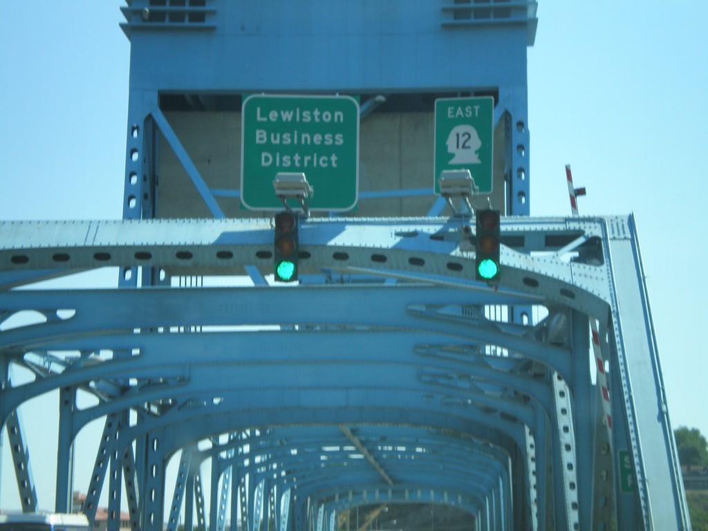
US-12 East - Idaho State Line
Errant US-12 shield displayed as a state route shield on the Interstate bridge over the Snake River on the Idaho border.
Taken 07-27-2008
 Clarkston
Asotin County
Washington
United States
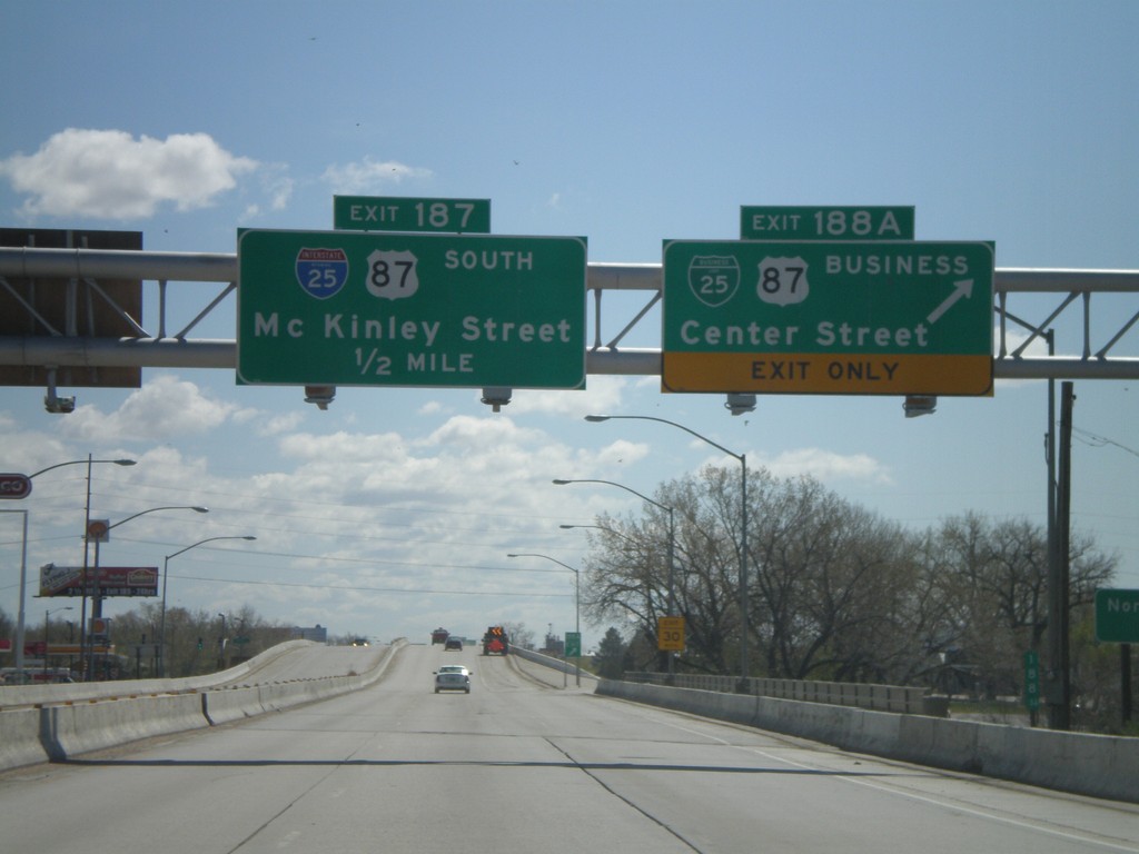
I-25 South - Exits 188A and 187
I-25 south at Exit 188A - BL-25/BL-87/Center St. Approaching Exit 187 - McKinley St. Exit 187 is signed as I-25 and US-87 south, but this is an error. Neither highway exit at McKinley St.
Taken 05-16-2008


 Casper
Natrona County
Wyoming
United States
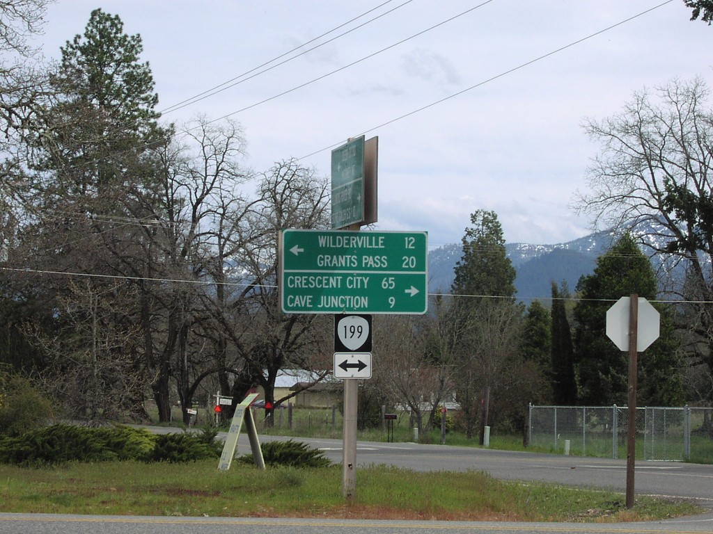
US-199 Shield Signed as OR-199
Junction of US-199 across from Selma Post Office. US-199 shield incorrectly displayed with OR-199 shield.
Taken 04-01-2006
 Selma
Josephine County
Oregon
United States
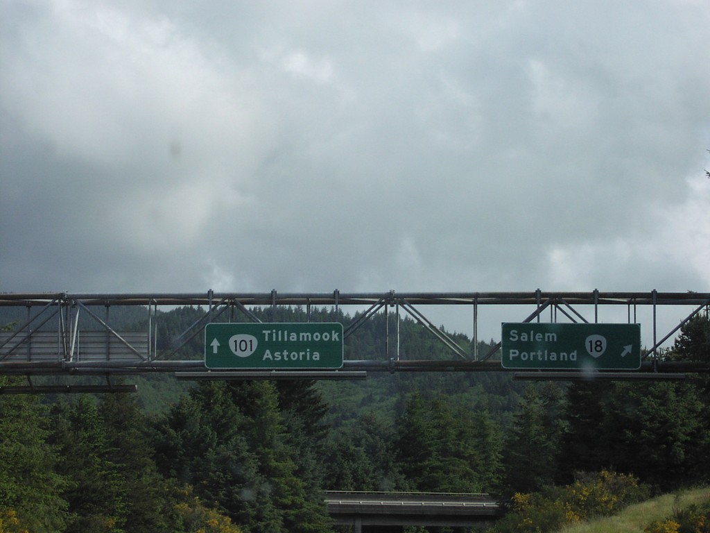
US-101 North at OR-18
US-101 North at OR-18 East to Salem and Portland. Continue north on US-101 to Tillamook and Astoria. The US-101 shield is incorrectly using the state highway shield style.
Taken 06-01-2001

 Otis
Lincoln County
Oregon
United States