Signs Tagged With Shield Inside Sign
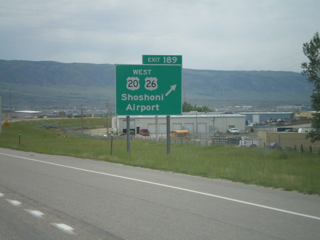
I-25 South - Exit 189
I-25/US-87 South - Exit 189 - US-20/US-26 West/Shoshoni/Airport. US-20/US-26 joins I-25 south through Casper.
Taken 07-04-2011


 Casper
Natrona County
Wyoming
United States
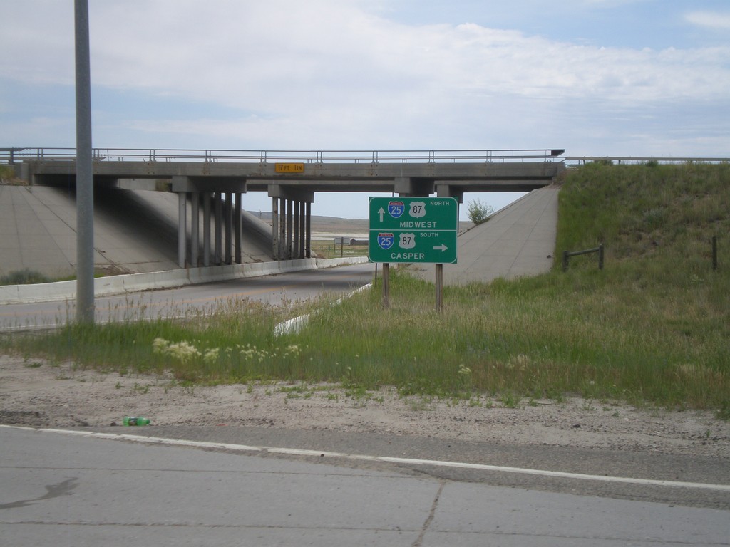
Begin WY-387 North at I-25
Begin WY-387 north at I-25/US-87. Use I-25 South/US-87 South for Casper. I-25 North/US-87 North is signed for Midwest, where actually WY-387 north heads towards Midwest. The actual destination for I-25/US-87 North would be for Kaycee or Buffalo.
Taken 07-04-2011


 Midwest
Natrona County
Wyoming
United States
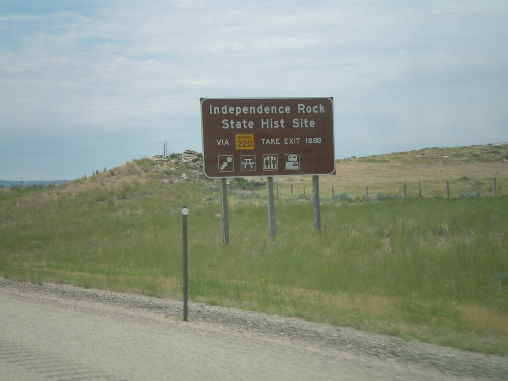
I-25 South - Independence Rock State Historic Site
Directions for Independence Rock State Historic Site on I-25/US-87 South. Use WY-220 via Exit 188B for Independence Rock State Historic Site.
Taken 07-04-2011


 Casper
Natrona County
Wyoming
United States
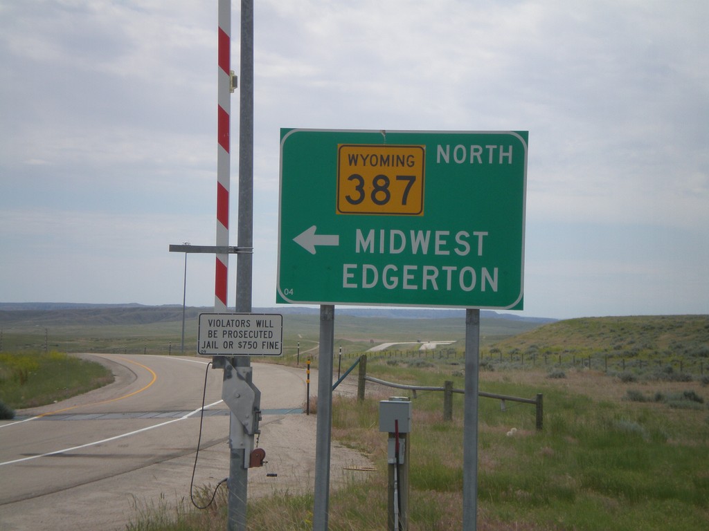
I-25 South at WY-387
I-25 south at WY-387. Use WY-387 North for Midwest and Edgerton. Continue ahead to return to I-25 south. Notice the closed highway gate for severe weather.
Taken 07-04-2011


 Midwest
Natrona County
Wyoming
United States
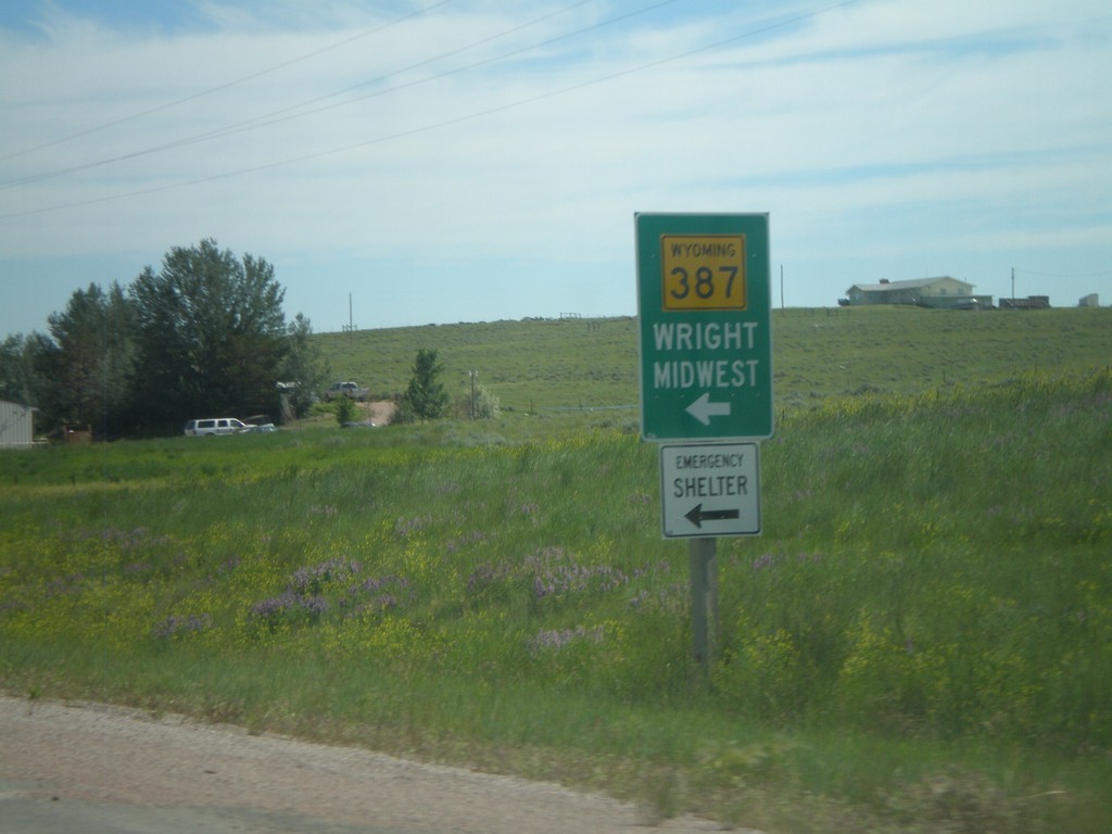
WY-59 North At WY-387 South
WY-59 North at WY-387 South. Use WY-387 south for Midwest and Wright.
Taken 07-04-2011

 Wright
Campbell County
Wyoming
United States
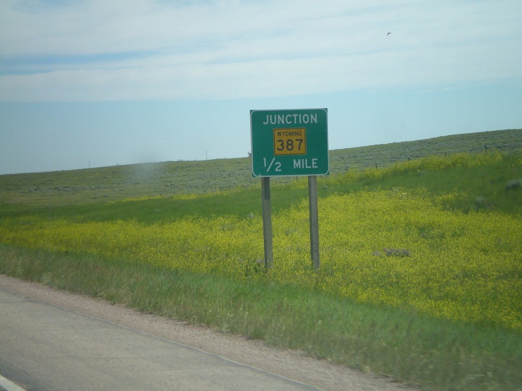
WY-59 North Approaching WY-387
WY-59 north approaching WY-387 south.
Taken 07-04-2011

 Wright
Campbell County
Wyoming
United States
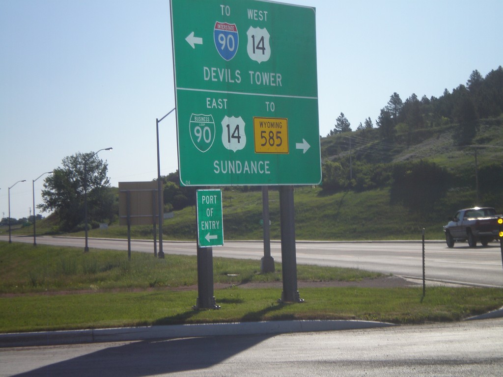
WY-116 North at BL-90/US-14
WY-116 north at BL-90/US-14. Turn right on BL-90/US-14 East for WY-585 and Sundance (City Center). Turn left for US-14 West to I-90 and Devils Tower.
Taken 07-04-2011


 Sundance
Crook County
Wyoming
United States
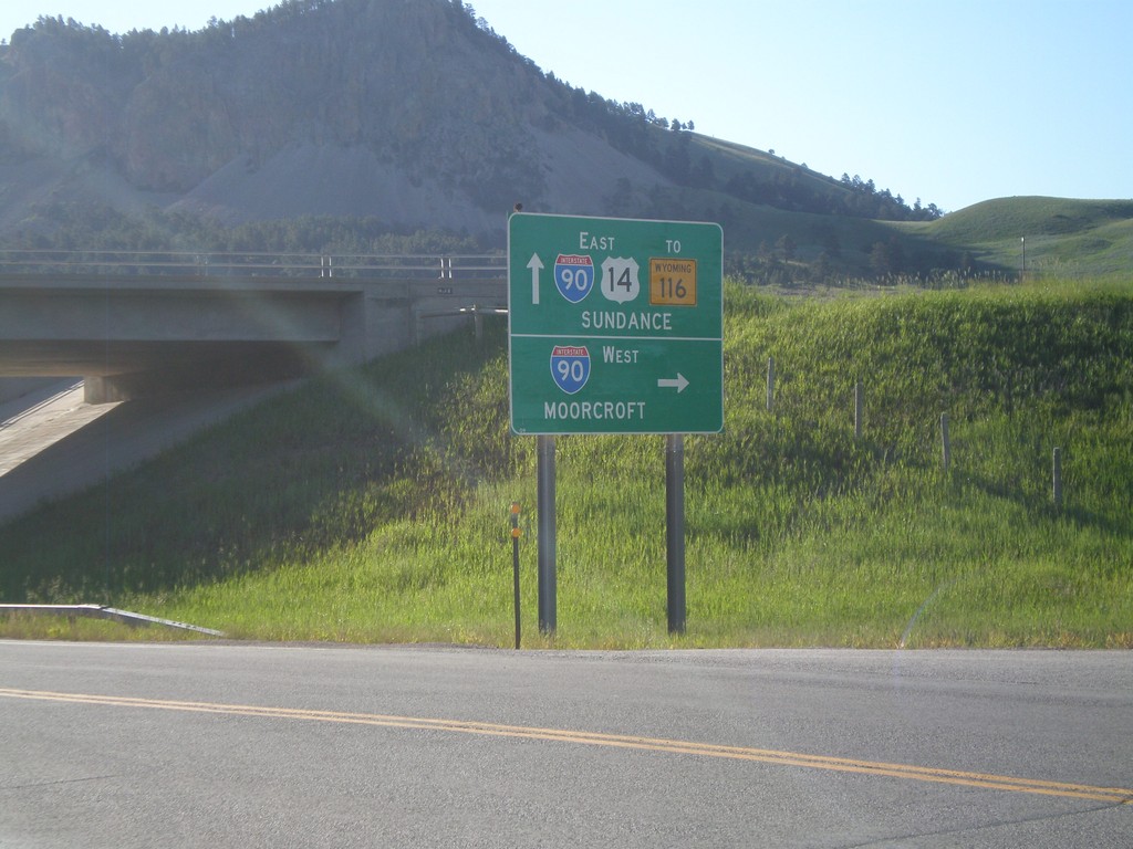
US-14 East at I-90 West (Exit 185)
US-14 east at I-90 West (Exit 185). Use I-90 west for Moorcroft. Continue east on US-14 for I-90 East, WY-116 and Sundance (City Center). The is the beginning of the I-90 Business Loop in Sundance.
Taken 07-04-2011


 Sundance
Crook County
Wyoming
United States
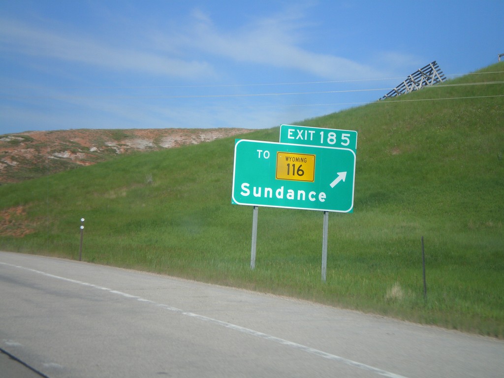
I-90 West - Exit 185
I-90 west at Exit 185 - To WY-116/Sundance.
Taken 07-04-2011


 Sundance
Crook County
Wyoming
United States
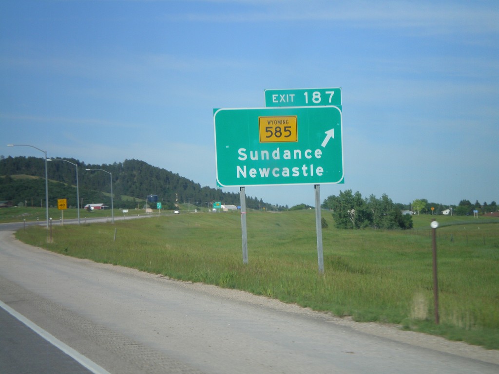
I-90 West - Exit 187
I-90 west at Exit 187 - WY-585/Sundance/Newcastle.
Taken 07-04-2011

 Sundance
Crook County
Wyoming
United States
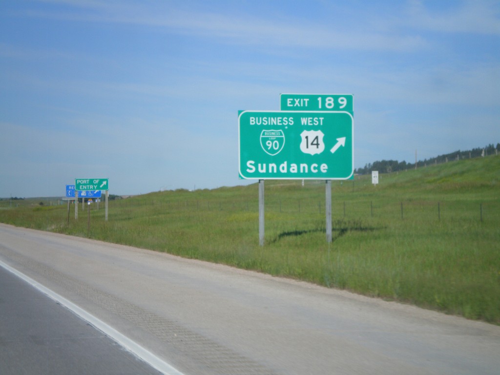
I-90 West - Exit 189
I-90/US-14 West at Exit 189 - BL-90/US-14 West/Sundance. US-14 leaves I-90 here and heads northwest to the Devils Tower National Monument. This is the eastern end of the Sundance business loop.
Taken 07-04-2011


 Sundance
Crook County
Wyoming
United States
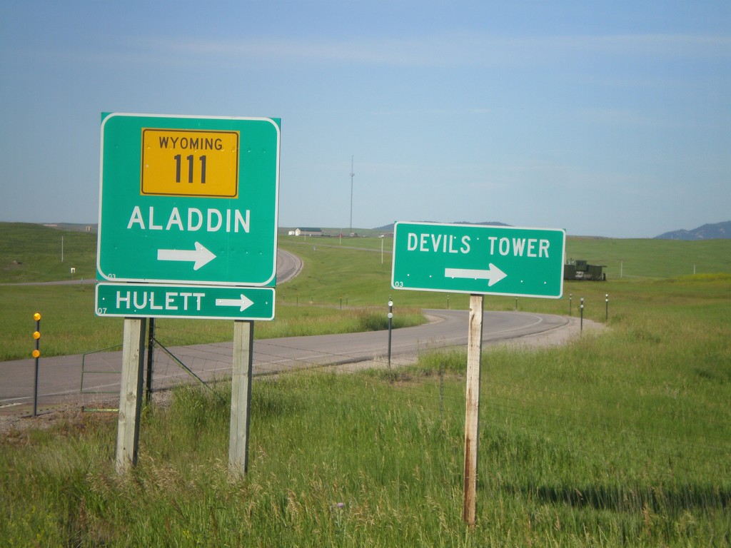
I-90 West at WY-111
I-90 west offramp (Exit 199) at WY-111. Use WY-111 north for Alladin, Heulett, and Devils Tower (National Monument).
Taken 07-04-2011


 Farrall
Crook County
Wyoming
United States
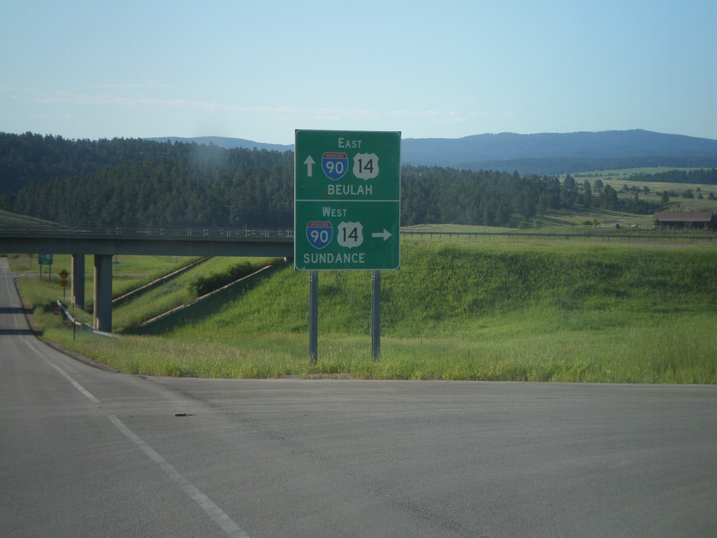
End WY-111 South at I-90 (Exit 199)
WY-111 south at I-90/US-14 (Exit 199). Use I-90/US-14 East for Beulah; west for Sundance.
Taken 07-04-2011


 Farrall
Crook County
Wyoming
United States
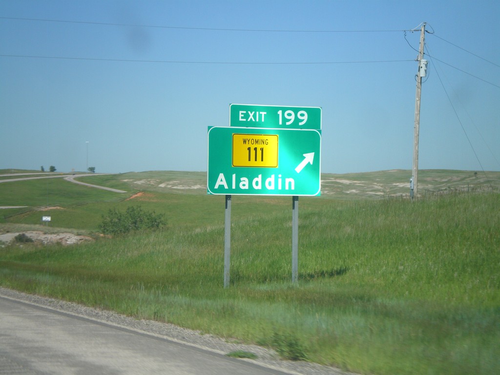
I-90 East - Exit 199
I-90 east at Exit 199 - WY-111/Aladdin.
Taken 07-03-2011


 Farrall
Crook County
Wyoming
United States
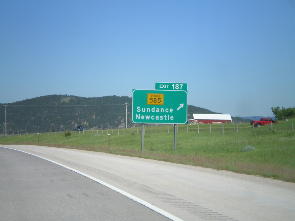
I-90 East - Exit 187
I-90 East at Exit 187 - WY-585/Sundance/Newcastle.
Taken 07-03-2011

 Sundance
Crook County
Wyoming
United States
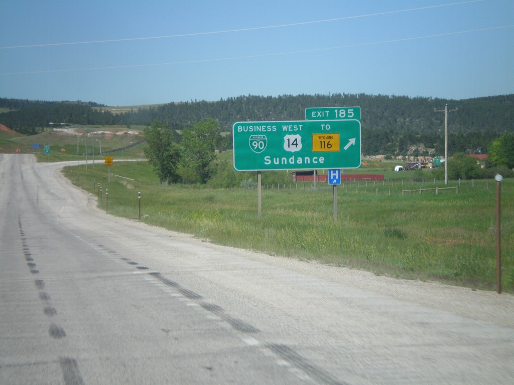
I-90 East - Exit 185
I-90 east at Exit 185 - BL-90/US-14 West/To WY-116/Sundance. This is the western end of the Sundance business loop.
Taken 07-03-2011


 Sundance
Crook County
Wyoming
United States
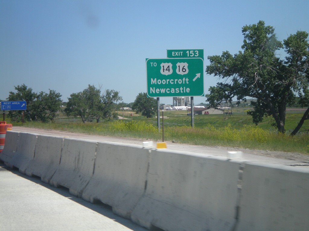
I-90 East - Exit 153
I-90 east at Exit 153 - To US-14/US-16/Moorcroft/Newcastle. US-14 and US-16 leave I-90 east here. Use this exit for the Moorcroft Rest Area.
Taken 07-03-2011


 Moorcroft
Crook County
Wyoming
United States
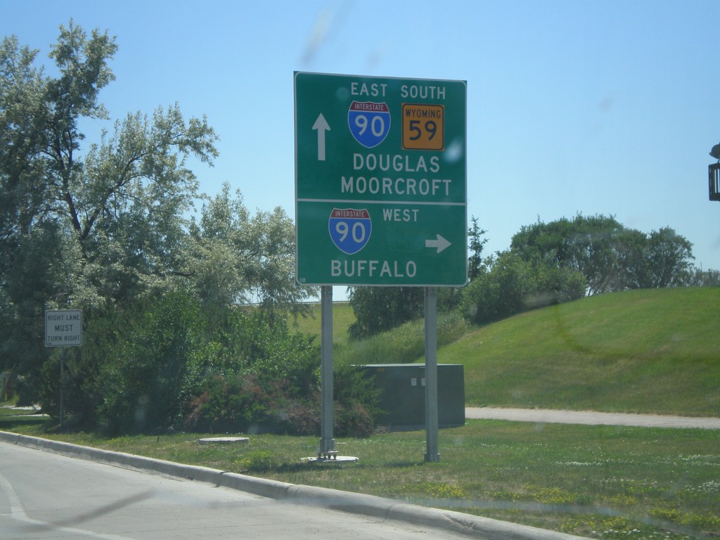
US-14/US-16 East/WY-59 South at WY-50 (To I-90)
US-14/US-16 East/WY-59 South at WY-50 (To I-90). Continue ahead on US-14/US-16 east for I-90 to Douglas and Moorcroft. Turn right for I-90 West (WY-50) for Buffalo.
Taken 07-03-2011


 Gillette
Campbell County
Wyoming
United States
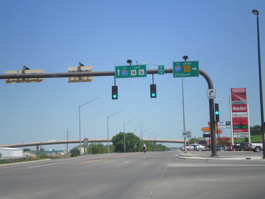
BL-90/US-14/US-16 East at WY-59
BL-90/US-14/US-16 east at WY-59. Turn right for I-90 (west)/WY-59 South to Douglas. Continue straight ahead for I-90 east.
Taken 07-03-2011


 Gillette
Campbell County
Wyoming
United States
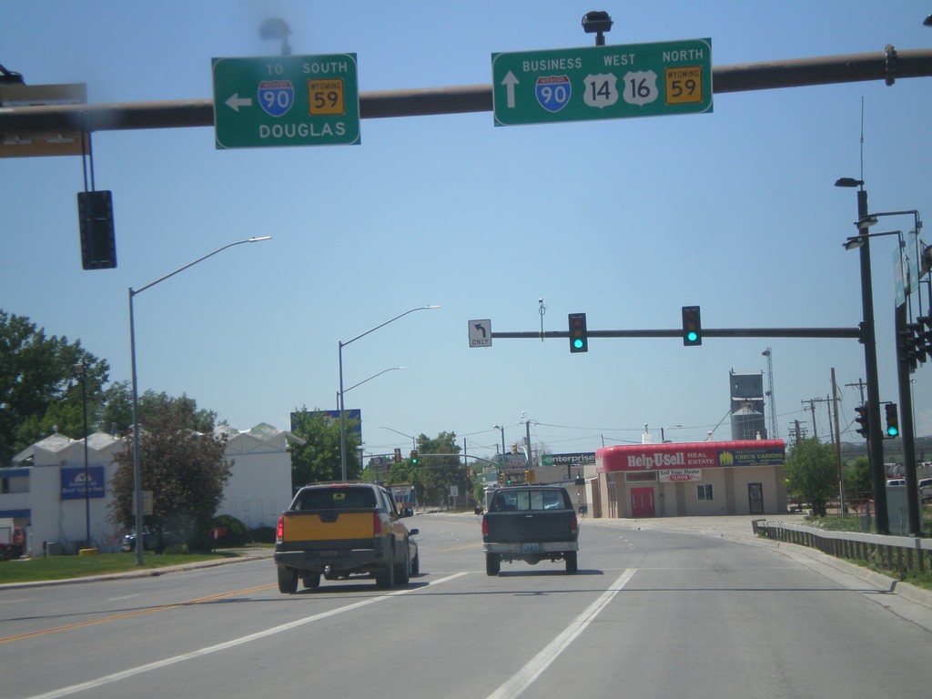
BL-90/US-14/US-16 West at WY-59
BL-90/US-14/US-16 west at WY-59. Turn left for I-90 (west)/WY-59 South to Douglas. Continue straight ahead for BL-90/US-14/US-16 West and WY-59 North. WY-59 follows US-14/US-16 through Gillette.
Taken 07-03-2011


 Gillette
Campbell County
Wyoming
United States
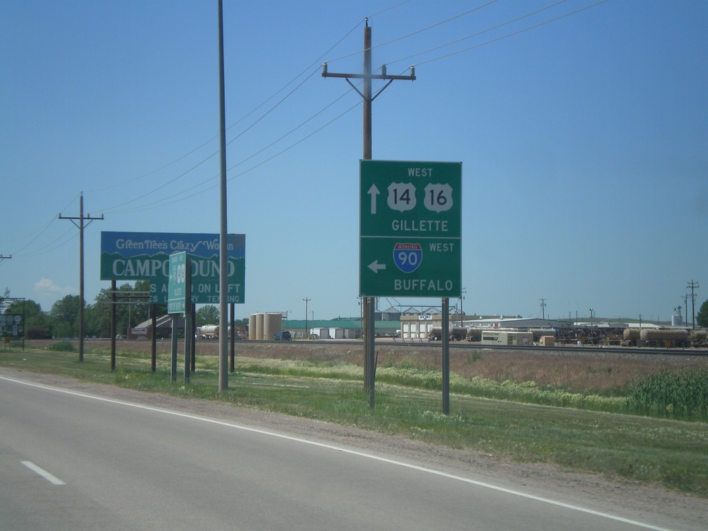
Begin BL-90 at I-90
Begin BL-90 at I-90 west onramp (Exit 128). Use I-90 west for Buffalo. Continue west for BL-90/US-14/US-16 into Gillette.
Taken 07-03-2011


 Gillette
Campbell County
Wyoming
United States
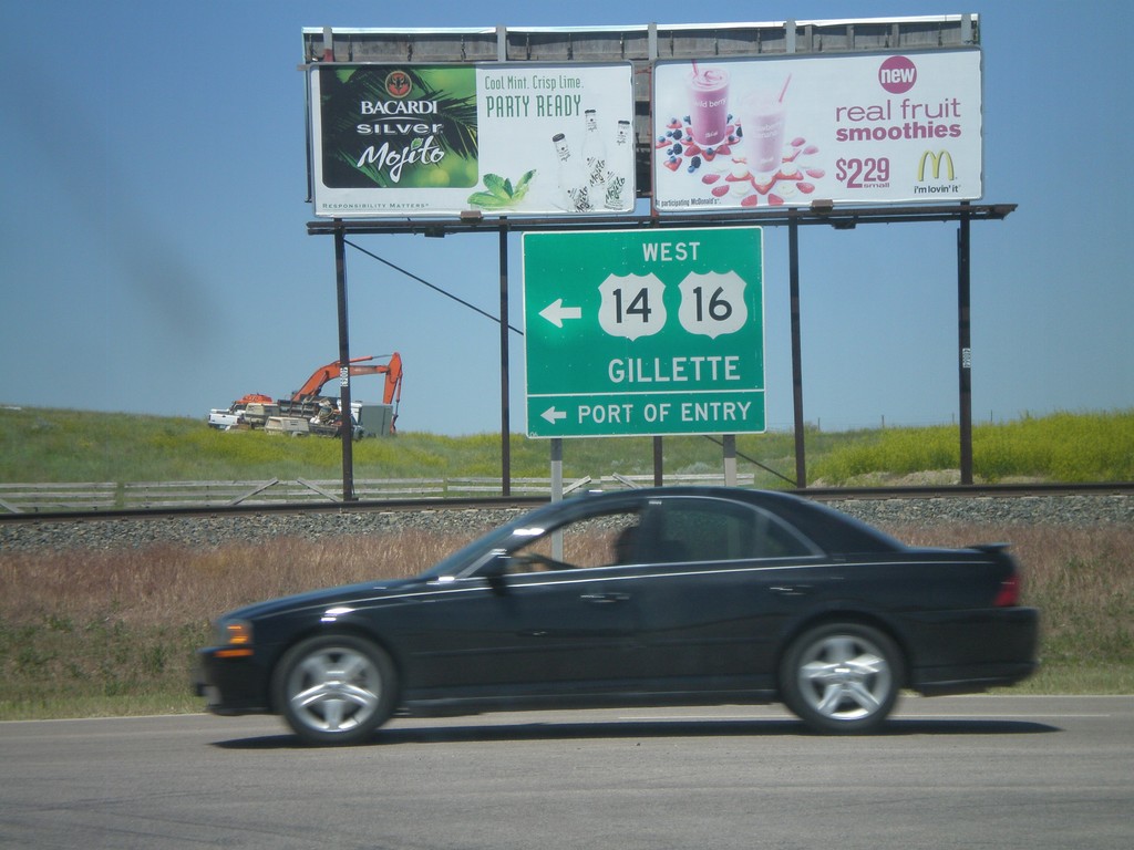
I-90 East at WY-51/US-14/US-16
I-90 east Exit 128 at BL-90/US-14/US-16/WY-51. Use BL-90/US-14/US-16 west for Gillette and Port of Entry.
Taken 07-03-2011


 Gillette
Campbell County
Wyoming
United States
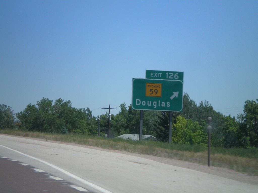
I-90 East - Exit 126
I-90 east at Exit 126 - WY-59/Douglas.
Taken 07-03-2011

 Gillette
Campbell County
Wyoming
United States
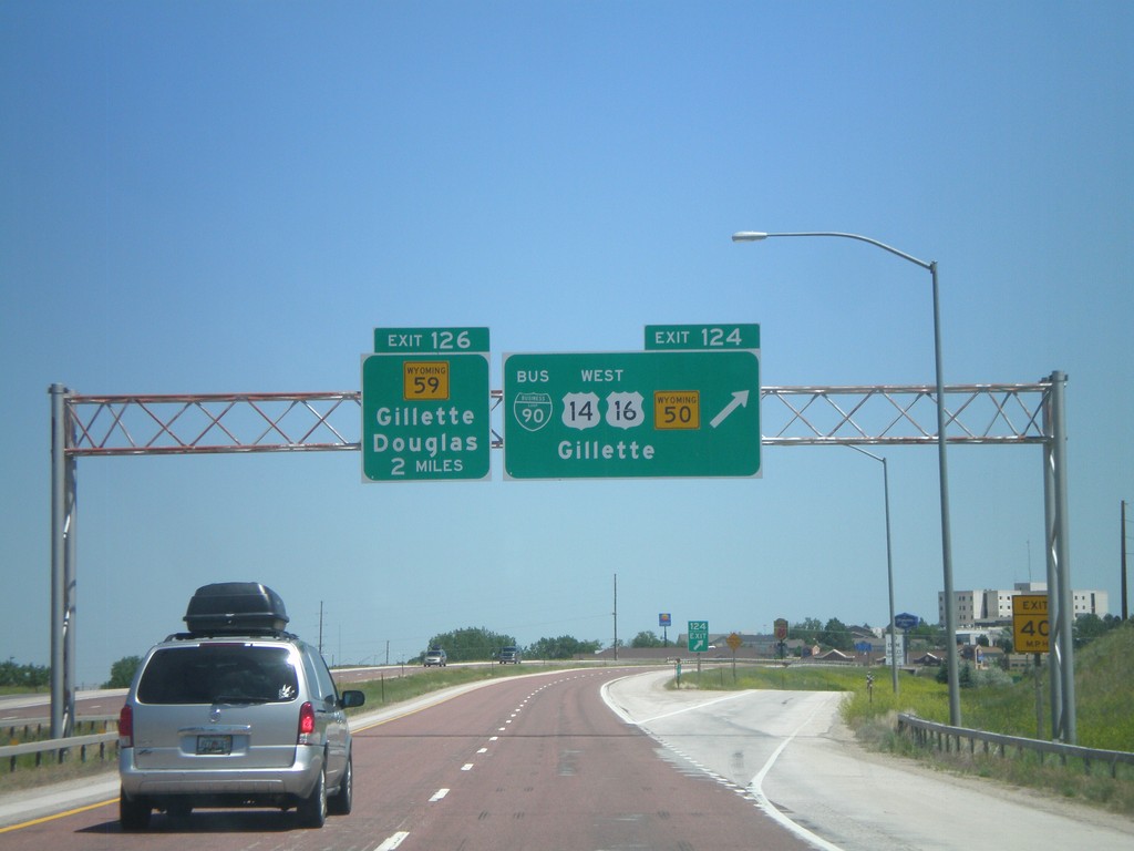
I-90 East - Exits 124 and 126
I-90 east at Exit 124 - BL-90/US-14/US-16 West/WY-50/Gillette. Approaching Exit 126 - WY-59/Gillette/Douglas.
Taken 07-03-2011


 Gillette
Campbell County
Wyoming
United States
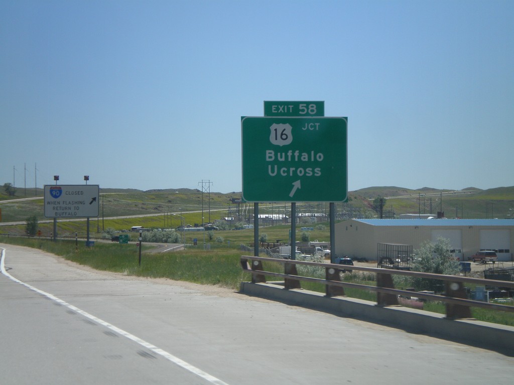
I-90 East - Exit 58
I-90 east at Exit 58 - US-16/Buffalo/Ucross. This is the eastern end of the I-90 business loop through Buffalo.
Taken 07-03-2011


 Buffalo
Johnson County
Wyoming
United States