Signs Tagged With Shield Inside Sign
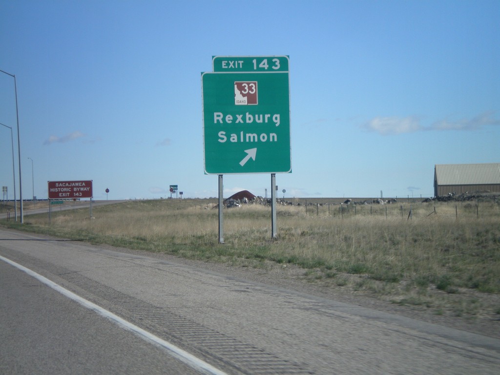
I-15 North - Exit 143
I-15 north at Exit 143 - ID-33/Rexburg/Salmon. This is the southern end of the Sacajawea Historic Byway.
Taken 05-02-2010

 Roberts
Jefferson County
Idaho
United States
Roberts
Jefferson County
Idaho
United States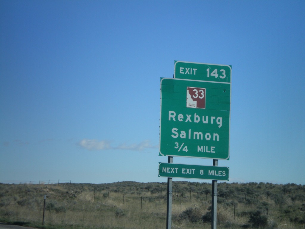
I-15 North - Exit 143
I-15 north approaching Exit 143 - ID-33/Rexburg/Salmon. This is the southern end of the Sacajawea Historic Byway.
Taken 05-02-2010
Roberts
Jefferson County
Idaho
United States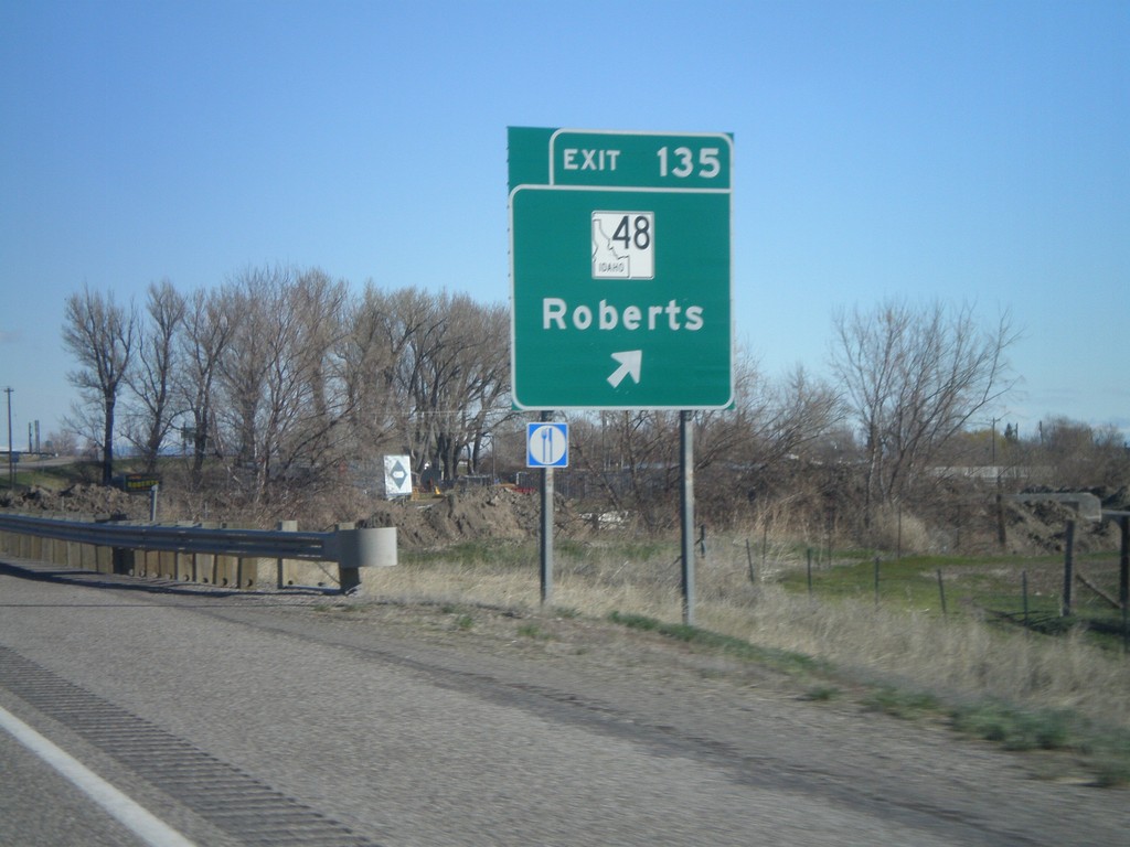
I-15 North - Exit 135
I-15 north at Exit 135 - ID-48/Roberts
Taken 05-02-2010
 Roberts
Jefferson County
Idaho
United States
Roberts
Jefferson County
Idaho
United States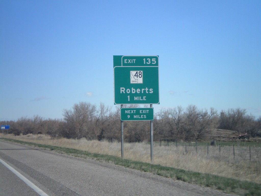
I-15 North - Exit 135
I-15 north approaching Exit 135 - ID-48/Roberts
Taken 05-02-2010
Roberts
Jefferson County
Idaho
United States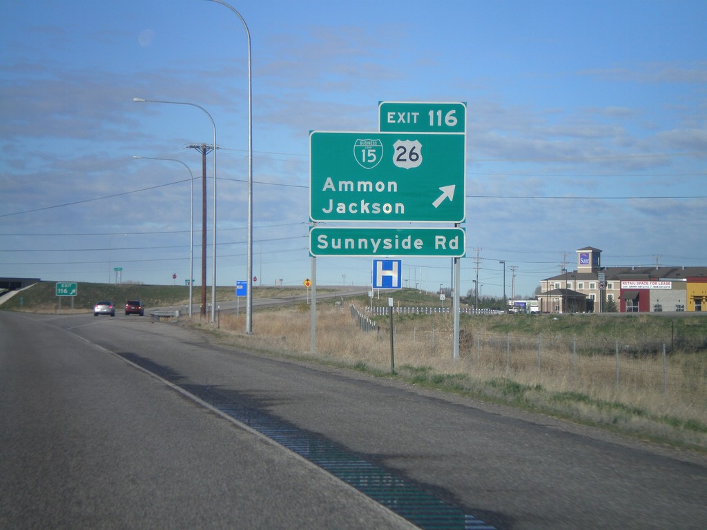
I-15 South - Exit 116
I-15 south at Exit 116, BL-15/US-26 East/Ammon/Jackson
Taken 05-02-2010

 Idaho Falls
Bonneville County
Idaho
United States
Idaho Falls
Bonneville County
Idaho
United States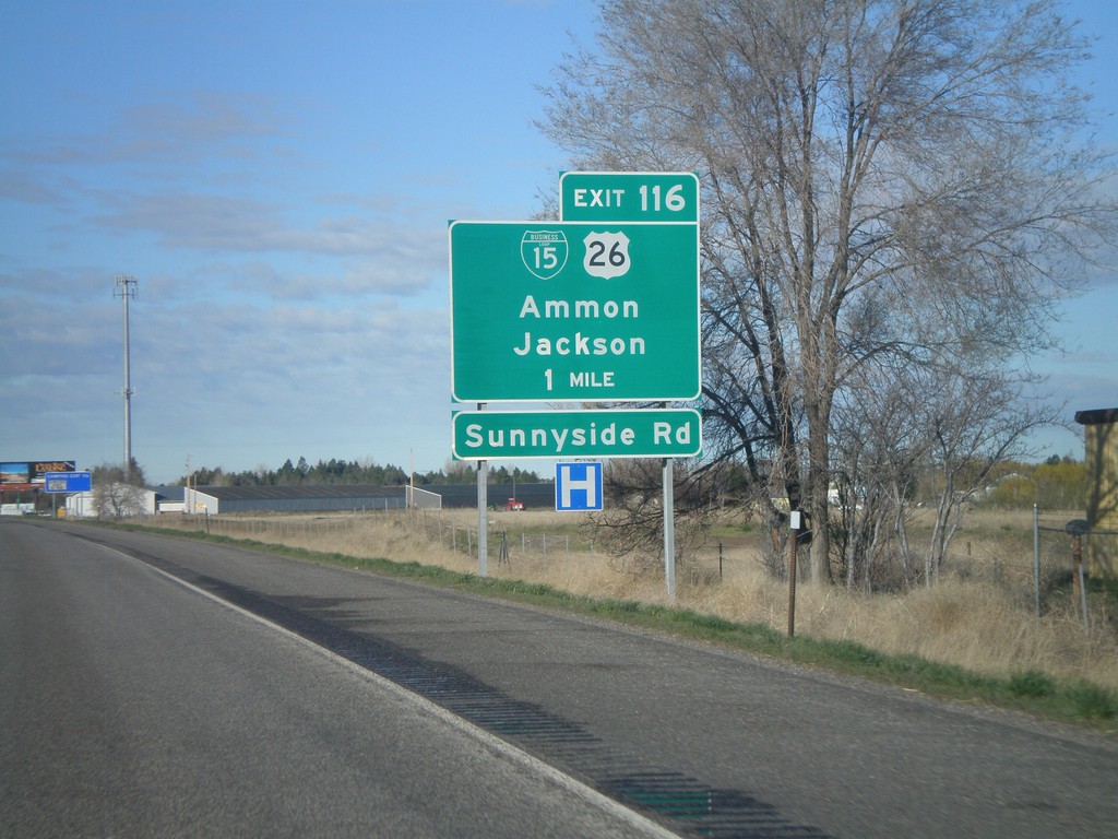
I-15 South - Exit 116
I-15 south approaching Exit 116 - BL-15/US-26/Ammon/Jackson.
Taken 05-02-2010
Idaho Falls
Bonneville County
Idaho
United States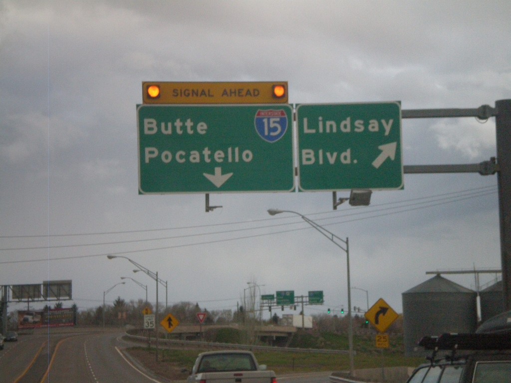
US-20 West - Lindsay Blvd
US-20 west at Lindsay Blvd (Exit 307). Approaching end of freeway at I-15 to Butte and Pocatello.
Taken 05-01-2010
 Idaho Falls
Bonneville County
Idaho
United States
Idaho Falls
Bonneville County
Idaho
United States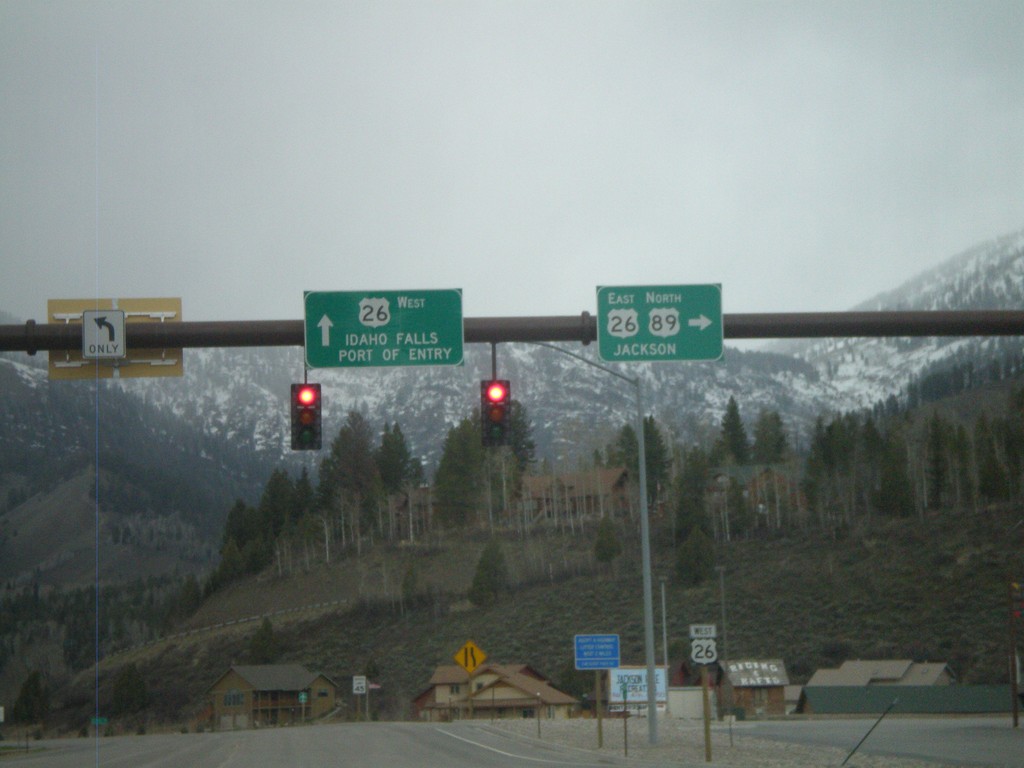
US-89 North at US-26
US-89 north at US-26. US-26 continues west to Idaho Falls and Port of Entry. US-89 North/US-26 East join north towards Jackson.
Taken 05-01-2010
 Alpine
Lincoln County
Wyoming
United States
Alpine
Lincoln County
Wyoming
United States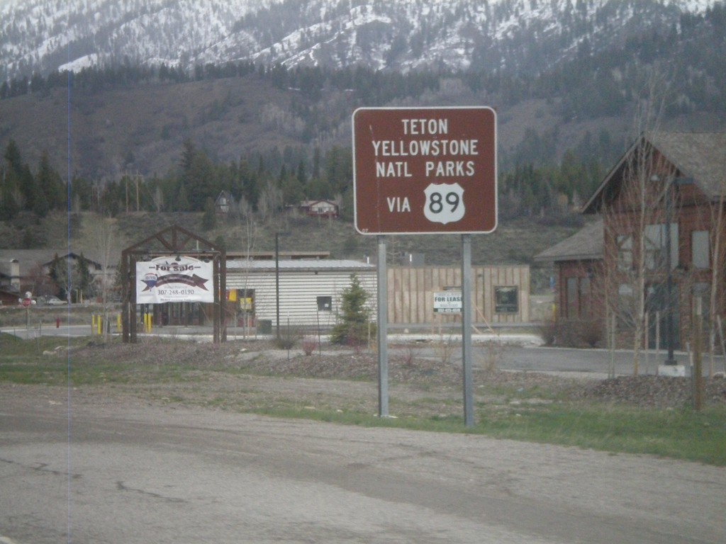
US-89 North - National Park Info
US-89 north approaching US-26. Use US-89 north for Yellowstone and Grand Teton National Parks.
Taken 05-01-2010
Alpine
Lincoln County
Wyoming
United States
US-89 North Approaching US-26
US-89 north approaching US-26. US-26 and US-89 join north to Moran Jct. in Grand Teton National Park.
Taken 05-01-2010
Alpine
Lincoln County
Wyoming
United States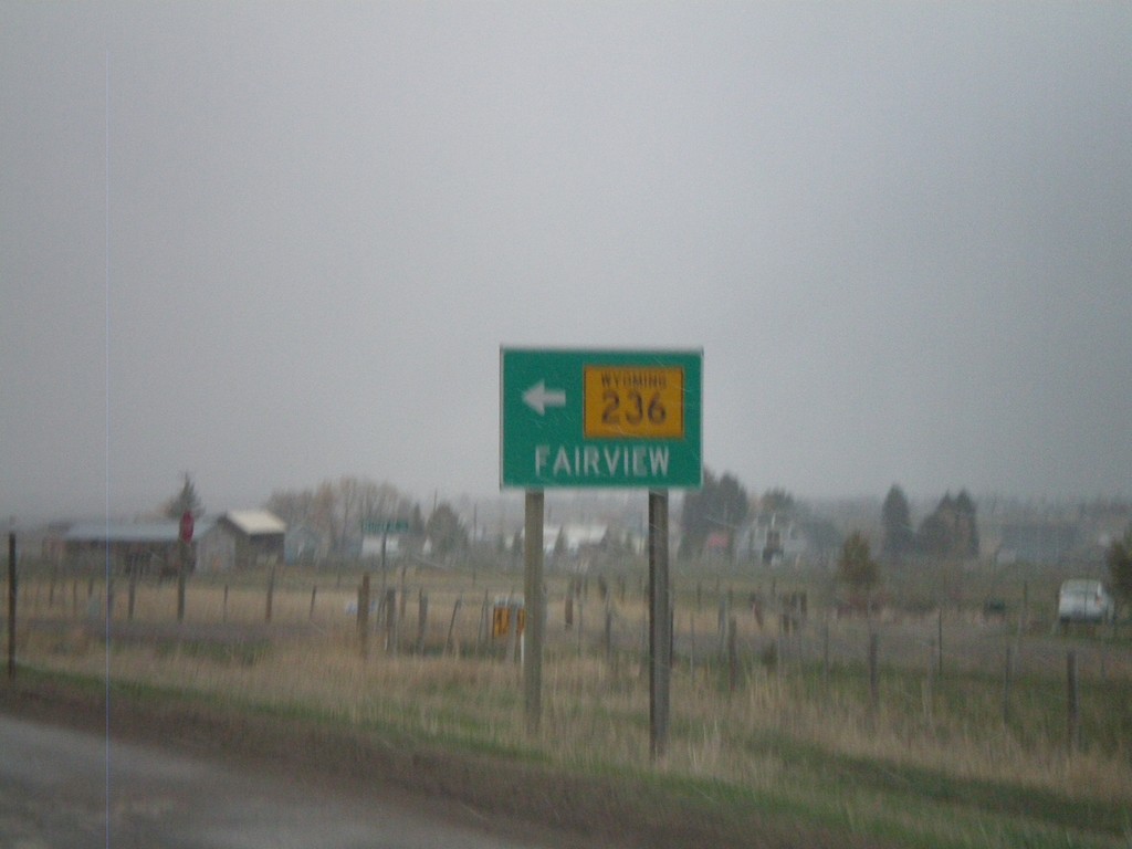
US-89 North at WY-236
US-89 north at WY-236 west to Fairview
Taken 05-01-2010
 Afton
Lincoln County
Wyoming
United States
Afton
Lincoln County
Wyoming
United States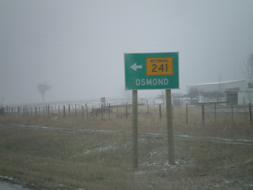
US-89 North at WY-241 North
US-89 north at WY-241 north to Osmond
Taken 05-01-2010
 Afton
Lincoln County
Wyoming
United States
Afton
Lincoln County
Wyoming
United States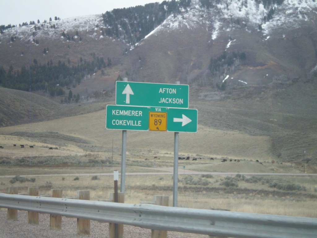
US-89 North Approaching ID-61
US-89 north approaching ID-61 (To WY-89). Use ID-61 south for WY-89, Cokeville, and Kemmerer. Continue north on US-89 for Afton and Jackson. All destinations are in Wyoming. The only instance that I have encountered where state highway shield from another state is posted in Idaho, is at this intersection.
Taken 05-01-2010

 Geneva
Bear Lake County
Idaho
United States
Geneva
Bear Lake County
Idaho
United States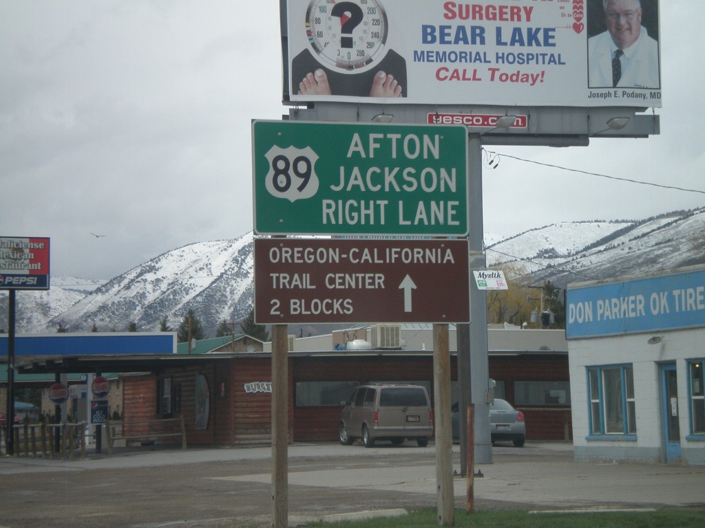
US-30/US-89 - Approaching US-89
US-30 West/US-89 North approaching US-89 north split. Use right lane for US-89 north to Afton and Jackson (both in Wyoming).
Taken 05-01-2010
 Montpelier
Bear Lake County
Idaho
United States
Montpelier
Bear Lake County
Idaho
United States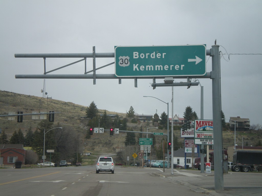
US-89 North at US-30
US-89 north at US-30 in Montpelier. Use US-30 East for Border and Kemmerer. The left half of this sign is missing.
Taken 05-01-2010
Montpelier
Bear Lake County
Idaho
United States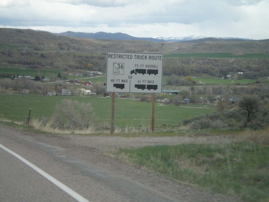
ID-34/ID-36 East - Restricted Truck Route on ID-36
Restricted Truck Route on ID-36 on ID-34/ID-36 east.
Taken 05-01-2010

 Preston
Franklin County
Idaho
United States
Preston
Franklin County
Idaho
United States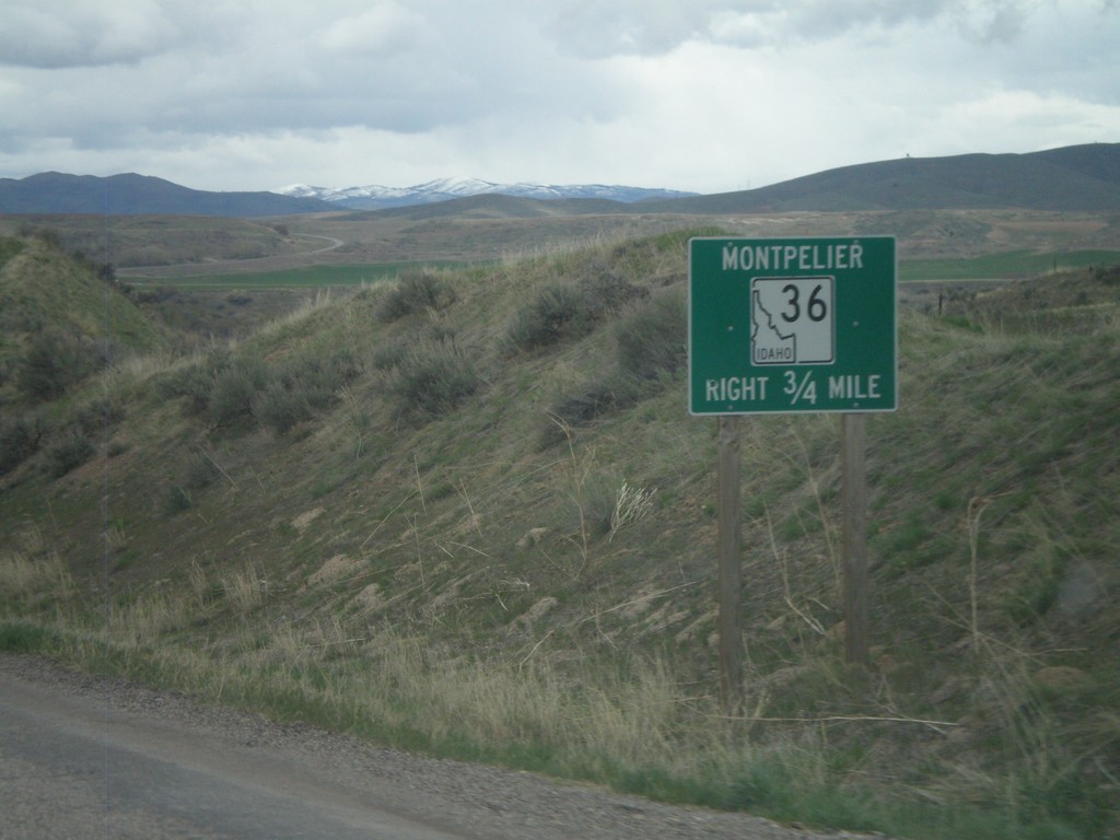
ID-34/ID-36 East Approaching ID-36
ID-34/ID-36 east approaching ID-36 east to Montpelier.
Taken 05-01-2010
Preston
Franklin County
Idaho
United States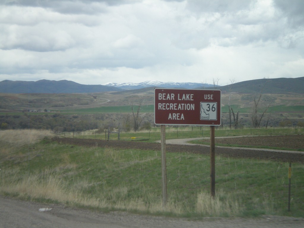
ID-34 North/ID-36 East - Bear Lake Rec. Area
ID-34 North/ID-36 East approaching ID-36. Use ID-36 East for the Bear Lake Recreation Area.
Taken 05-01-2010
Preston
Franklin County
Idaho
United States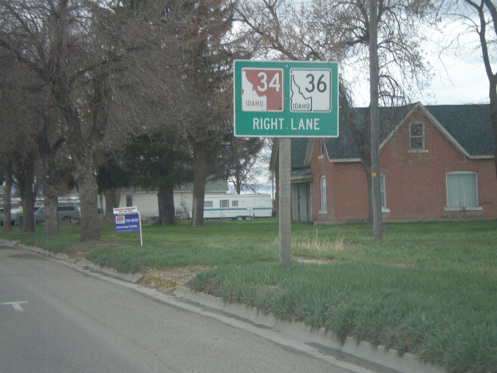
US-91 North/ID-36 East Approaching ID-34/ID-36
US-91 North/ID-36 east approaching ID-34/ID-36 jct. This is the beginning of ID-34 north. The Pioneer Historic Byway leaves US-91 and joins ID-34 north.
Taken 05-01-2010
 Preston
Franklin County
Idaho
United States
Preston
Franklin County
Idaho
United States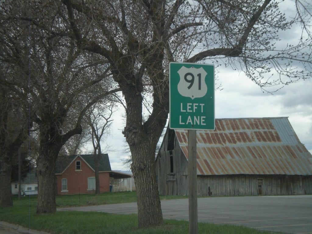
US-91 North/ID-36 East Approaching ID-34
US-91 North/ID-36 East approaching ID-34 north. Use left lanes to continue on US-91 north.
Taken 05-01-2010
Preston
Franklin County
Idaho
United States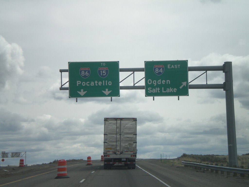
I-84 East - Exit 222
I-84 east at I-86 east to I-15 and Pocatello. Use I-84 east for Ogden and Salt Lake.
Taken 05-01-2010

 Declo
Cassia County
Idaho
United States
Declo
Cassia County
Idaho
United States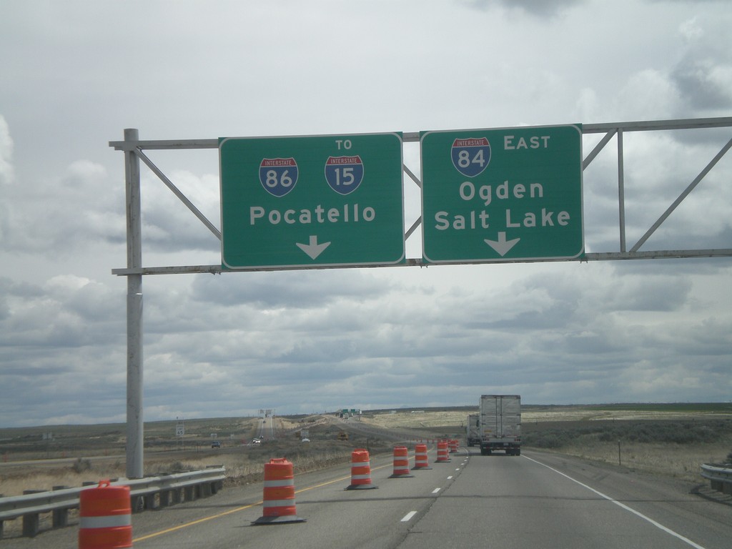
I-84 East Approaching I-86
I-84 east approaching I-86 east to I-15 and Pocatello. Use I-84 west for Ogden and Salt Lake.
Taken 05-01-2010
Declo
Cassia County
Idaho
United States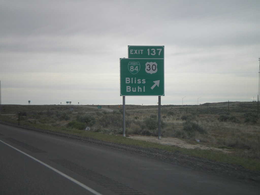
I-84 East - Exit 137
I-84 east at Exit 137 - BL-84/US-30/Bliss/Buhl. US-30 leaves I-84 here, and rejoins I-84 in Heyburn.
Taken 05-01-2010
 Bliss
Gooding County
Idaho
United States
Bliss
Gooding County
Idaho
United States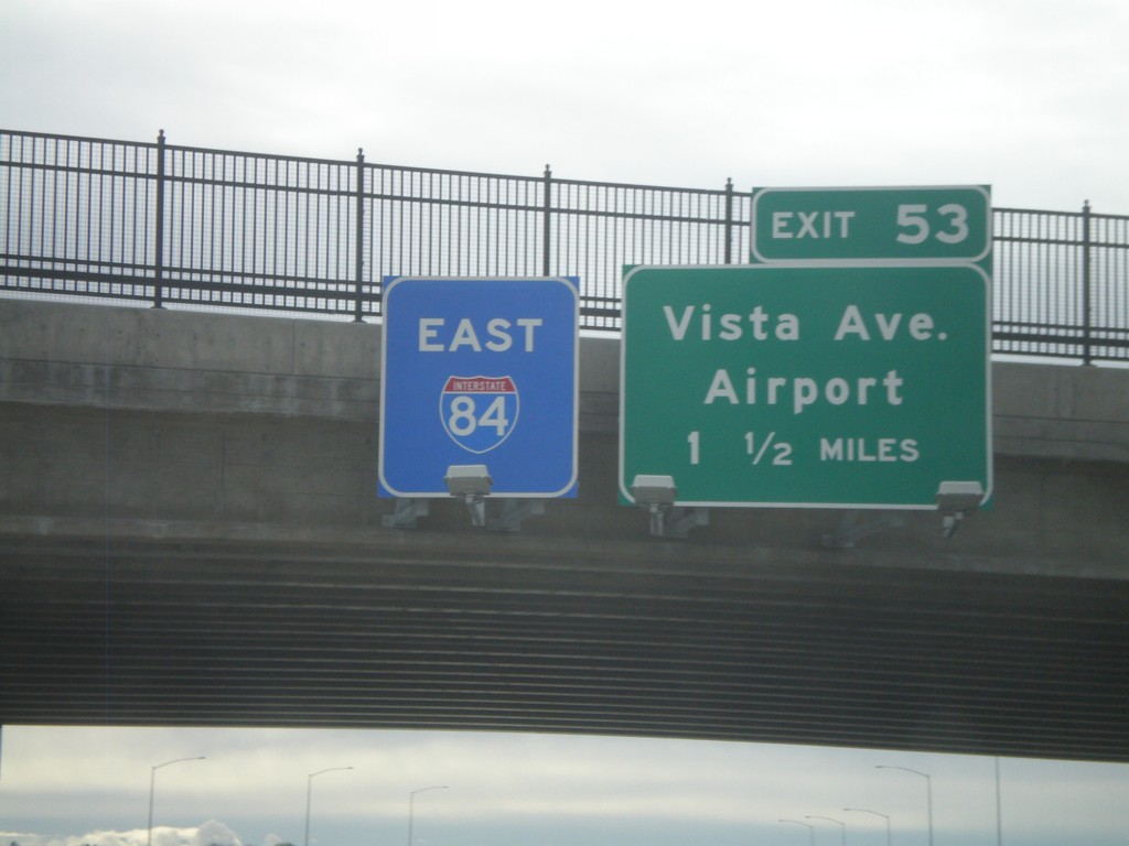
I-84 East - Exit 53
I-84 east overhead, and approaching Exit 53 - Vista Ave./Airport, 1 1/2 miles. The I-84 east sign has a blue background, which is not ordinary. This interchange is currently under construction, and I am guessing the blue will be replaced with green at some point.
Taken 05-01-2010
Boise
Ada County
Idaho
United States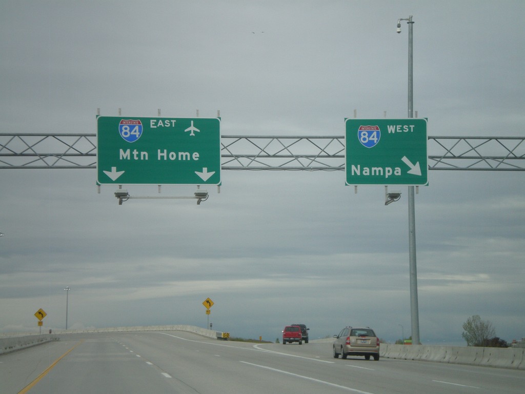
End I-184 at I-84
End I-184 on the ramp to I-84 East to Mountain Home, and I-84 west to Nampa. The control cities on this interchange was recently changed from Twin Falls and Ontario.
Taken 05-01-2010
 Boise
Ada County
Idaho
United States
Boise
Ada County
Idaho
United States