Signs Tagged With Shield Inside Sign
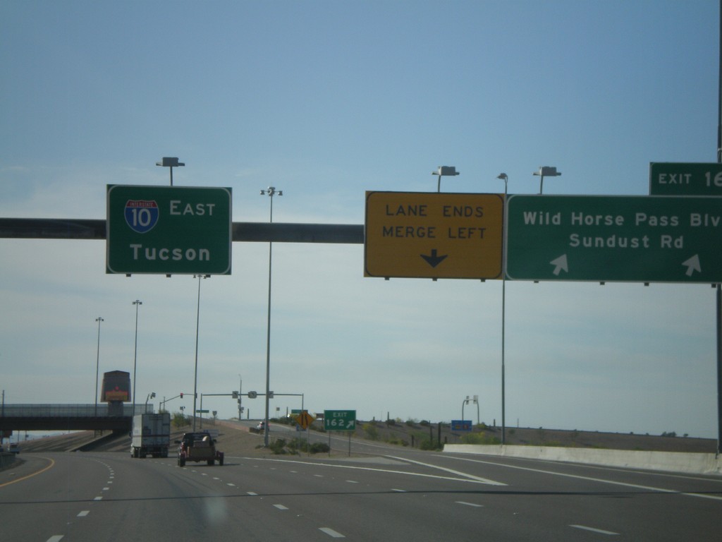
I-10 East - Exit 162
I-10 east at Exit 162 - Wild Horse Pass Blvd./Sundust Road. Overhead for I-10 East/Tucson.
Taken 03-22-2009
 Chandler
Maricopa County
Arizona
United States
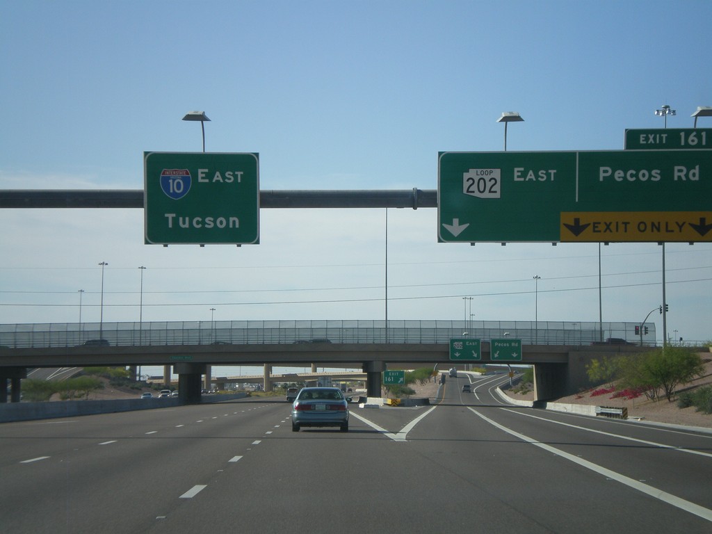
I-10 East - Exit 161
I-10 east at Exit 161 - AZ-202 Loop East/Pecos Road. Overhead for I-10 east to Tucson.
Taken 03-22-2009

 Phoenix
Maricopa County
Arizona
United States
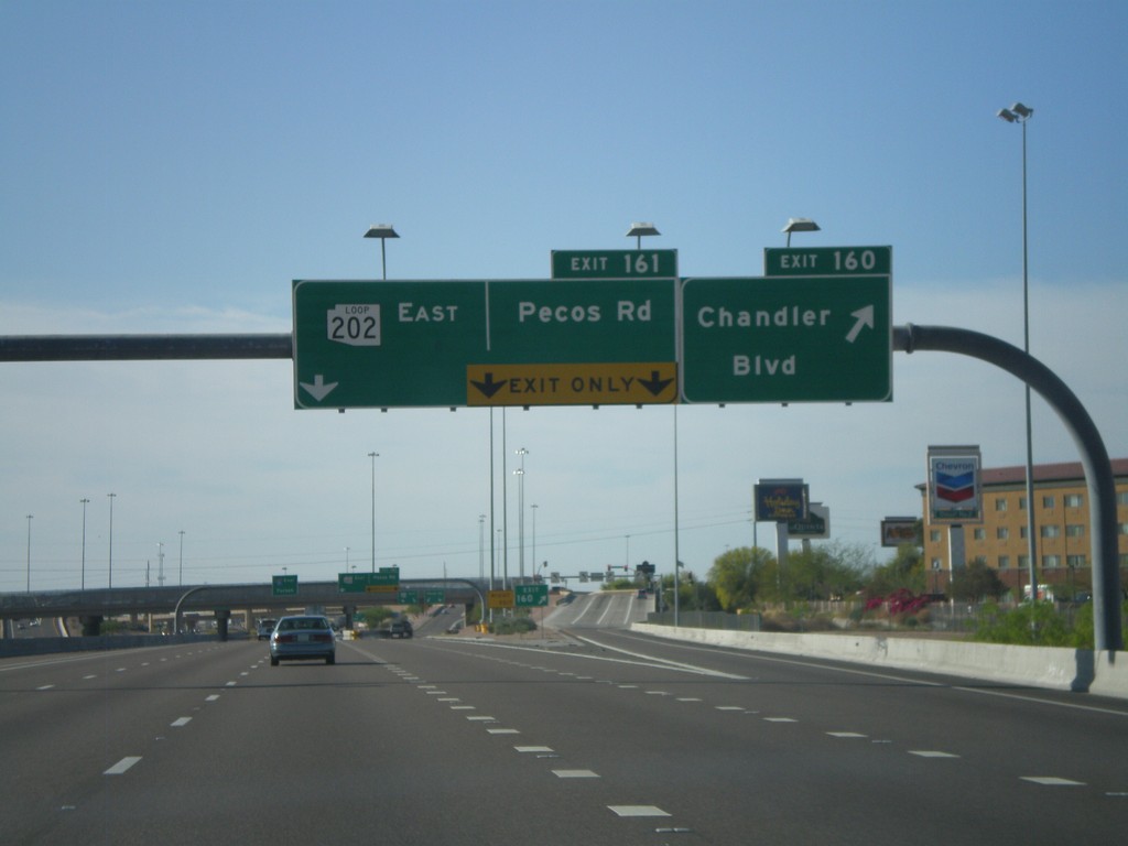
I-10 East - Exit 160 and Exit 161
I-10 east at Exit 160 - Wild Horse Pass Blvd./Sundust Road. Overhead for I-10 East/Tucson.
Taken 03-22-2009

 Chandler
Maricopa County
Arizona
United States
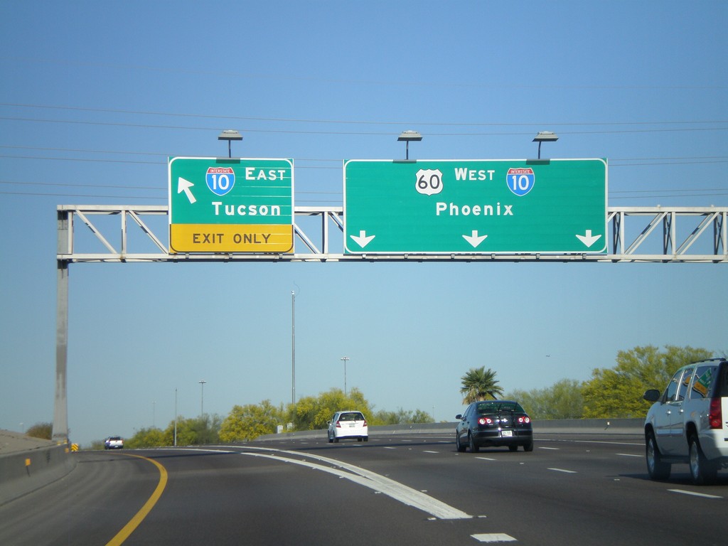
US-60 West at I-10
US-60 west at Exit I-10. Use I-10 east for Tucson. US-60 west joins I-10 west towards Phoenix.
Taken 03-22-2009

 Tempe
Maricopa County
Arizona
United States
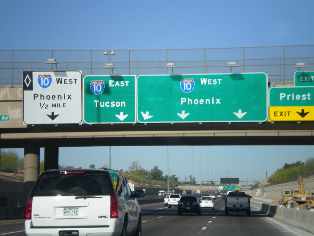
US-60 West at Exit 172 Approaching I-10
US-60 west at Exit 172 - Priest Drive. Approaching I-10/Phoenix/Tucson. I-10 westbound HOV lane on left lane.
Taken 03-22-2009

 Tempe
Maricopa County
Arizona
United States
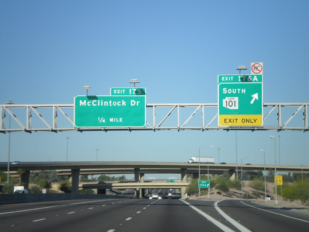
US-60 West - Exit 176A and Exit 175
US-60 west at Exit 176A - AZ-101 Loop South. Approaching Exit 175 - McClintock Drive.
Taken 03-22-2009

 Tempe
Maricopa County
Arizona
United States
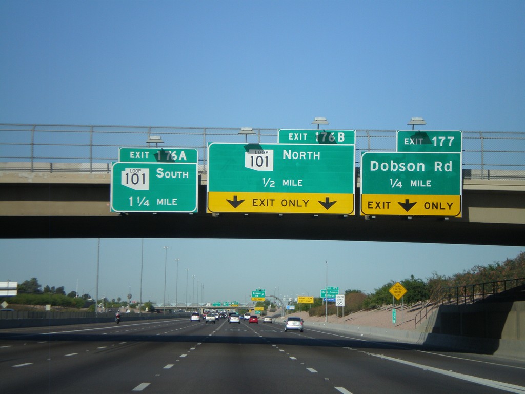
US-60 West approaching Exit 176AB and Exit 177
US-60 west at Exit 177 - Dobson Road. Approaching Exit 176B - AZ-101 Loop North and Exit 176A - AZ-101 Loop South.
Taken 03-22-2009

 Mesa
Maricopa County
Arizona
United States
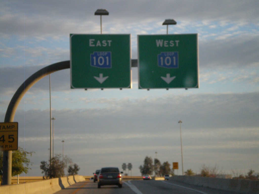
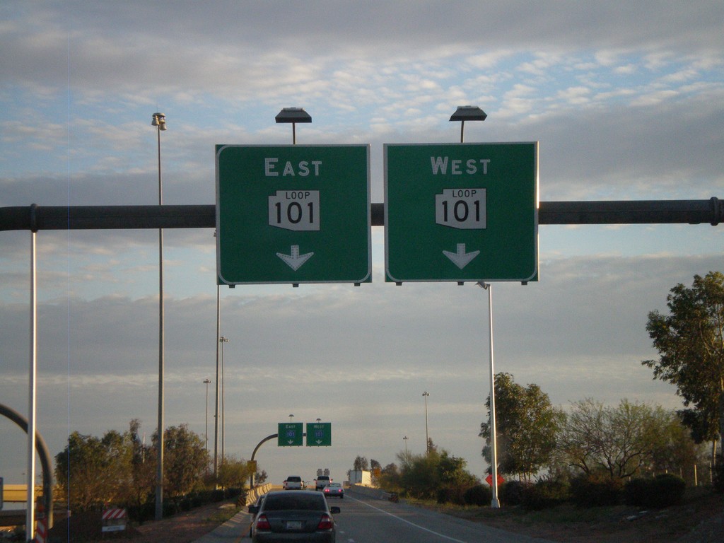
Blue AZ-101 Loop On I-17 South Exit 214C
I-17 South at Exit 214C offramp. Use right lanes for AZ-101 Loop West
Taken 03-21-2009

 Phoenix
Maricopa County
Arizona
United States
I-17 South at Exit 214C Offramp
I-17 South at Exit 214C offramp. Use right lanes for AZ-101 Loop West
Taken 03-21-2009

 Phoenix
Maricopa County
Arizona
United States
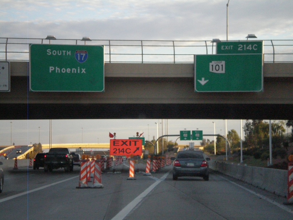
I-17 South at Exit 214C
I-17 South at Exit 214C - AZ-101 Loop. I-17 continues south to Phoenix.
Taken 03-21-2009

 Phoenix
Maricopa County
Arizona
United States
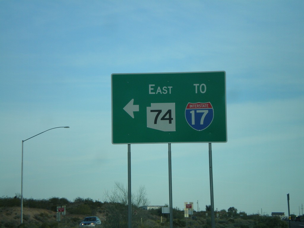
US-60 East at AZ-74
US-60 east at AZ-74 east to I-17.
Taken 03-21-2009


 Morristown
Maricopa County
Arizona
United States
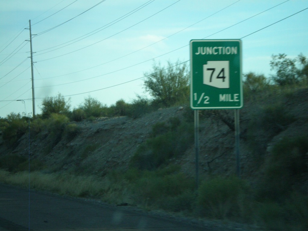
US-60 East Approaching AZ-74
US-60 east approaching AZ-74.
Taken 03-21-2009

 Morristown
Maricopa County
Arizona
United States
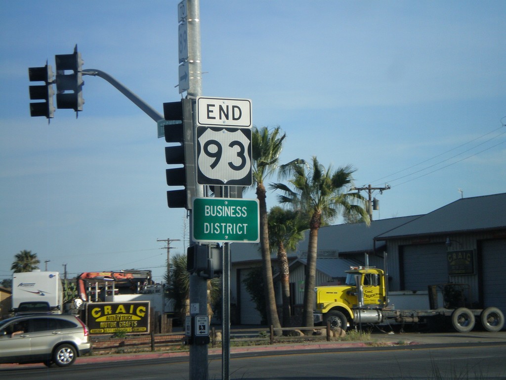
End US-93 South at US-60
End US-93 south at US-60. US-93 continues north from here to Eureka, MT and crosses into Canada at the Port of Roosville. US-93 becomes BC-93 and later AB-93 ending in Jasper, Alberta.
Taken 03-21-2009

 Wickenburg
Maricopa County
Arizona
United States
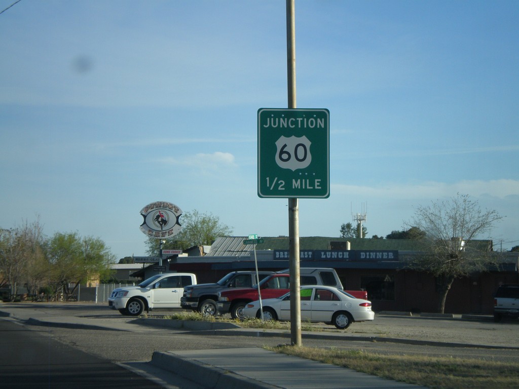
US-93 South Approaching US 60
US-93 south approaching US-60.
Taken 03-21-2009

 Wickenburg
Maricopa County
Arizona
United States
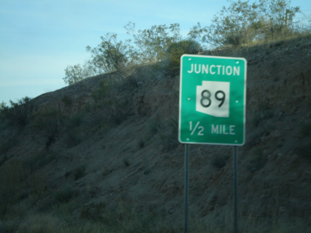
US-93 South Approaching AZ-89
US-93 south approaching AZ-89.
Taken 03-21-2009

 Wickenburg
Yavapai County
Arizona
United States
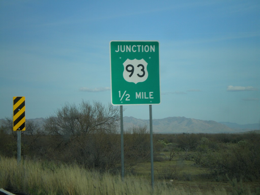
AZ-71 North Approaching US-93
AZ-71 north approaching US-93.
Taken 03-21-2009

 Congress
Yavapai County
Arizona
United States
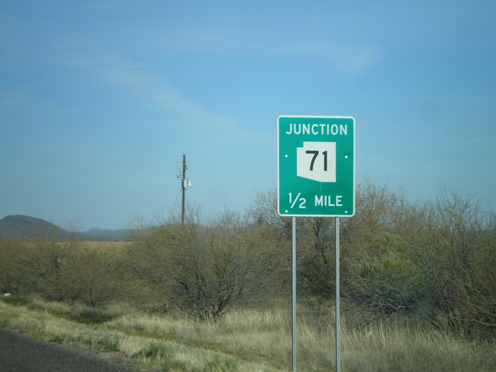
US-60 East Approaching AZ-71
US-60 east approaching AZ-71.
Taken 03-21-2009

 Aguila
Maricopa County
Arizona
United States
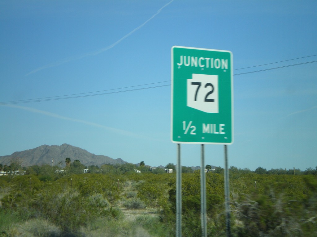
US-60 East Approaching AZ-72
US-60 east approaching AZ-72 west.
Taken 03-21-2009

 Salome
La Paz County
Arizona
United States
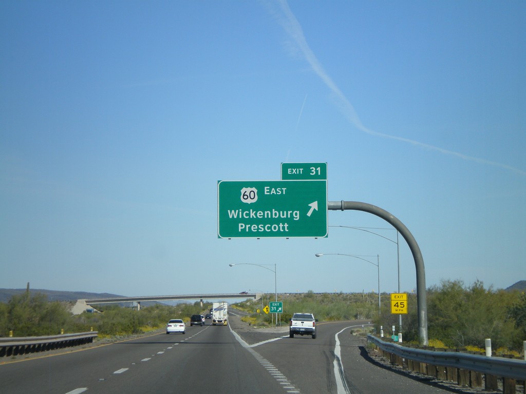
I-10 East - Exit 31
I-10 east at Exit 31 - US-60 East/Wickenburg/Prescott. This is the western terminus of US-60.
Taken 03-21-2009

 Quartzsite
La Paz County
Arizona
United States
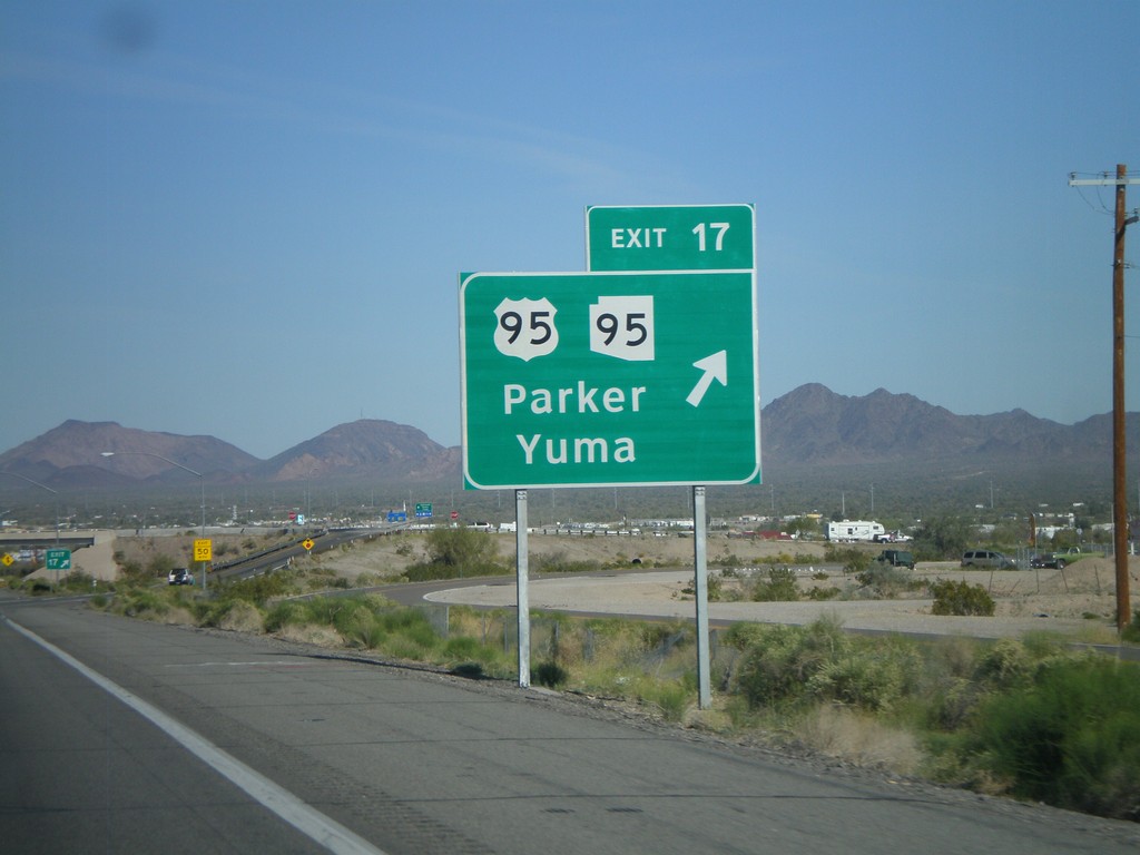
I-10 East - Exit 17
I-10 east at Exit 17 - US-95/AZ-95/Parker/Yuma. Use US-95 south for Yuma
Taken 03-21-2009


 Quartzsite
La Paz County
Arizona
United States
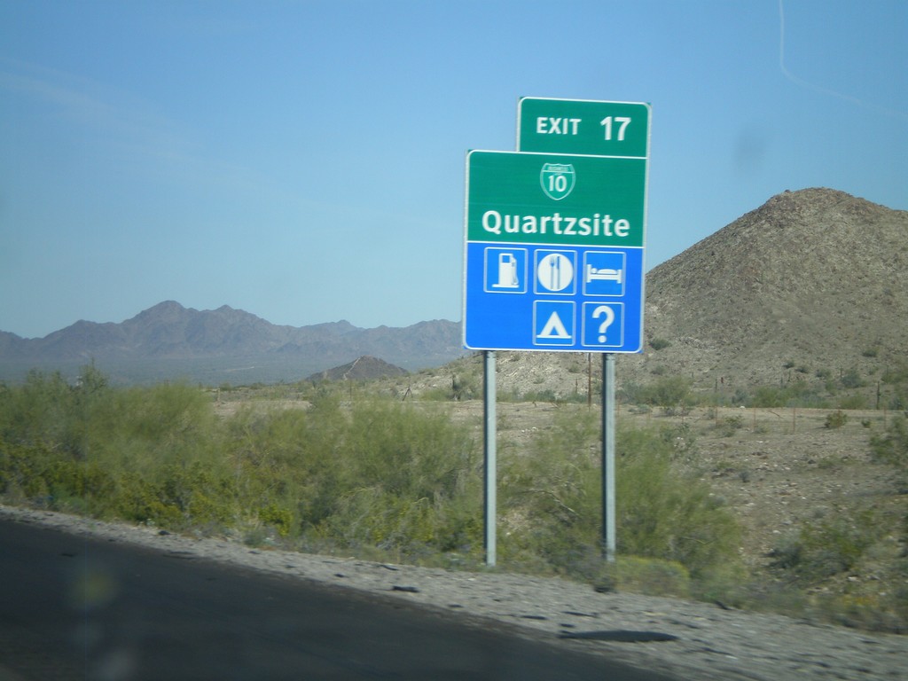
I-10 East - Exit 17
I-10 east at Exit 5 - Tom Wells Road
Taken 03-21-2009


 Quartzsite
La Paz County
Arizona
United States
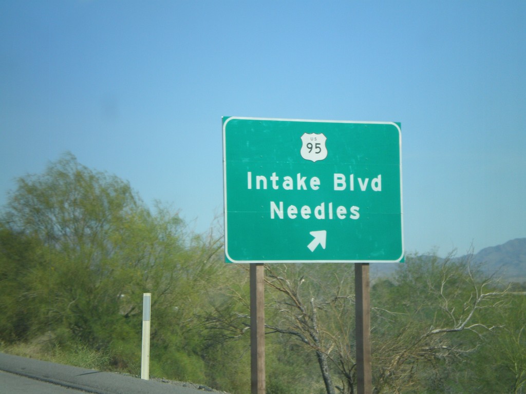
I-10 East - Exit 241
I-10 east at Exit 241 - US-95/Intake Blvd./Needles. US-95 joins I-10 east to Quartzite, Arizona.
Taken 03-21-2009

 Blythe
Riverside County
California
United States
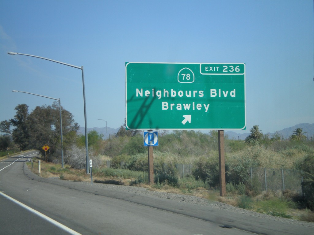
I-10 East - Exit 236
I-10 east at Exit 236 - CA-78/Neighbours Blvd./Brawley.
Taken 03-21-2009

 Blythe
Riverside County
California
United States
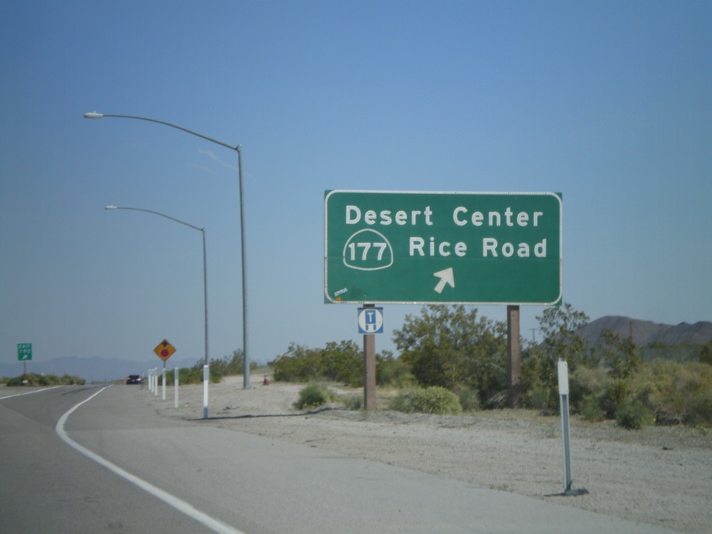
I-10 East - Exit 192
I-10 east at Exit 192 - CA-177/Desert Center/Rice Road
Taken 03-21-2009

 Desert Center
Riverside County
California
United States
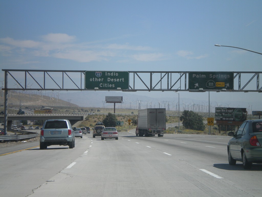
I-10 East - Exit 112
I-10 east at Exit 112 - CA-111/Palm Springs. Control city is for Indio and Other Desert Cities.
Taken 03-21-2009

 Palm Springs
Riverside County
California
United States