Signs Tagged With Shield Inside Sign
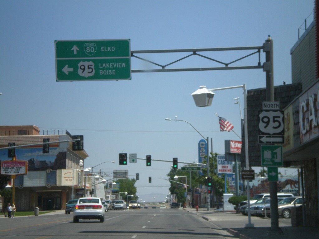
US-95 North/BL-80 in Winnemucca
BL-80 East/US-95 North (Winnemucca Blvd.) at US-95 north Melarkey St. Continue straight for BL-80 to Elko. Turn left for US-95 to Lakeview (OR) and Boise(ID).
Taken 07-07-2008

 Winnemucca
Humboldt County
Nevada
United States
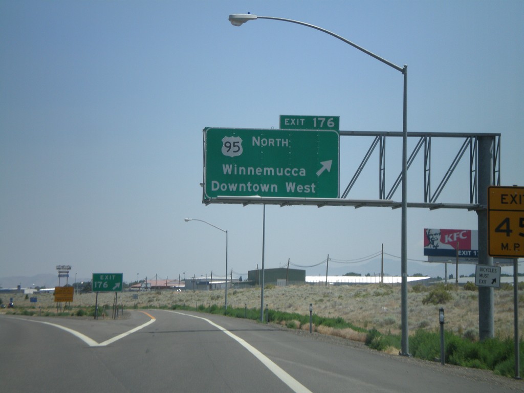
I-80 East Exit 176
I-80 east at Exit 176 - US-95 North/Winnemucca/Downtown West
Taken 07-07-2008

 Winnemucca
Humboldt County
Nevada
United States
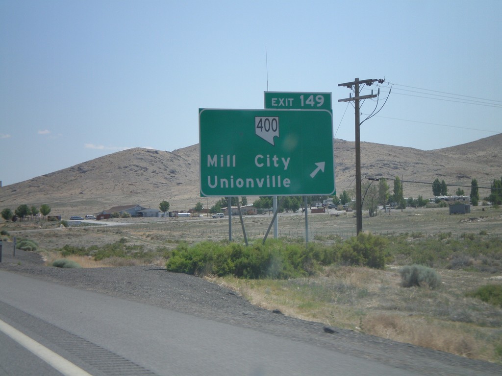
I-80 East Exit 149
I-80 east at Exit 149 - NV-400/Mill City/Unionville
Taken 07-07-2008


 Mill City
Pershing County
Nevada
United States
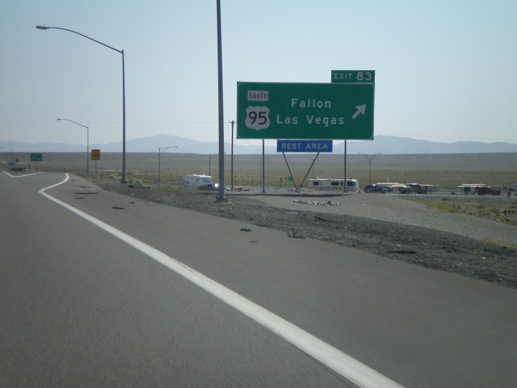
I-80 East Exit 83
I-80 east at Exit 83 - US-95 South/Fallon/Las Vegas. US-95 north joins I-80 east to Winnemucca.
Taken 07-07-2008


 Churchill County
Nevada
United States
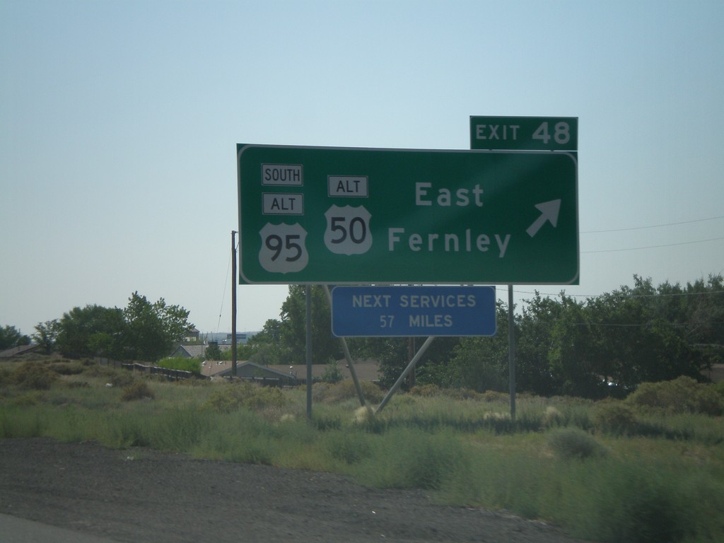
I-80 East Exit 48
I-80 east at Exit 48 - Alt. US-95 South/Alt. US-50/East Fernely. Next services on I-80 east are 57 miles.
Taken 07-07-2008


 Fernley
Lyon County
Nevada
United States
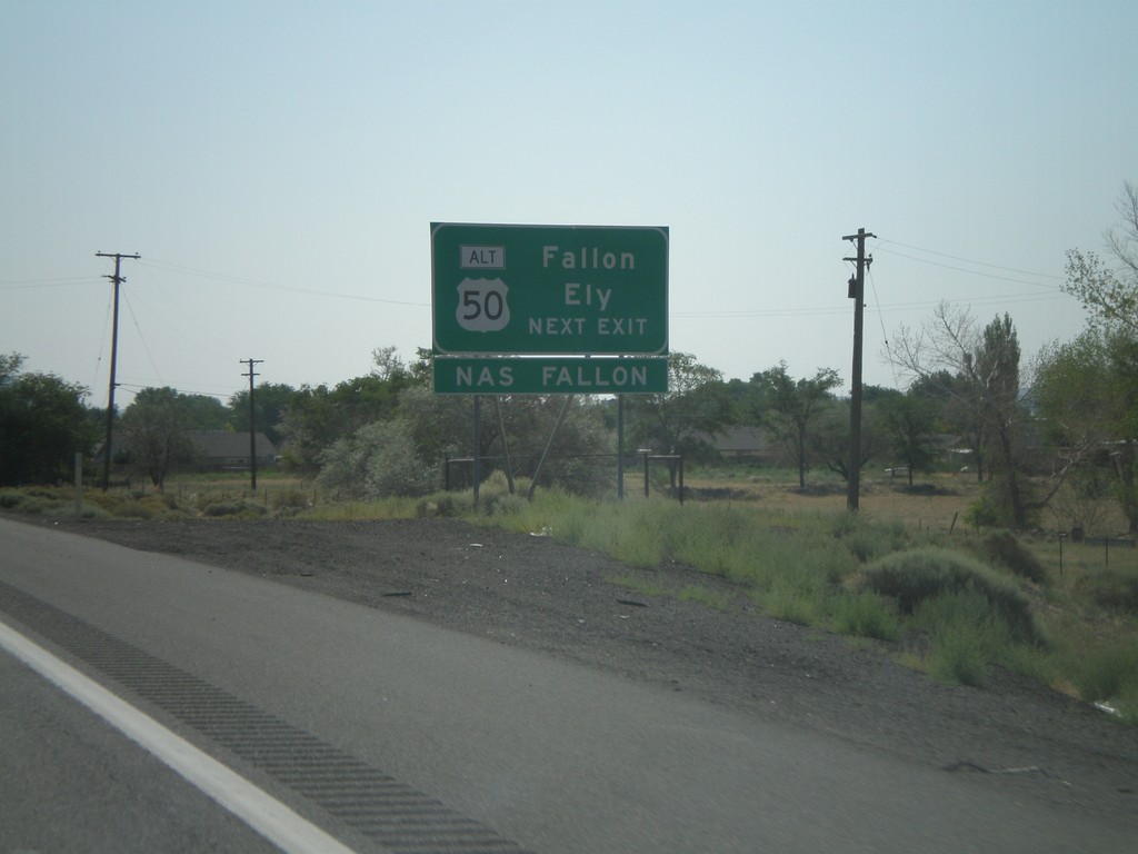
I-80 East Approaching Exit 48
I-80 east approaching Exit 48. Use Exit 48 for Fallon and Ely via Alt. US-50 east.
Taken 07-07-2008


 Fernley
Lyon County
Nevada
United States
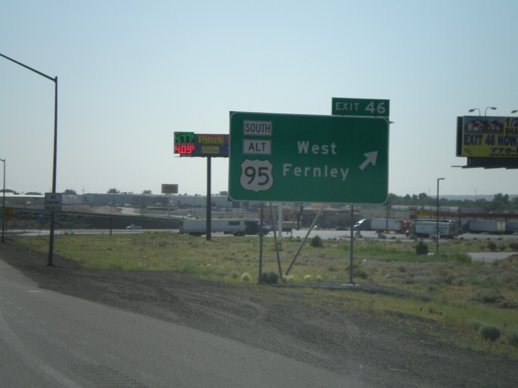
I-80 East Exit 46
I-80 east at Exit 46 - US-95 Alt South/West Fernley
Taken 07-07-2008


 Fernley
Lyon County
Nevada
United States
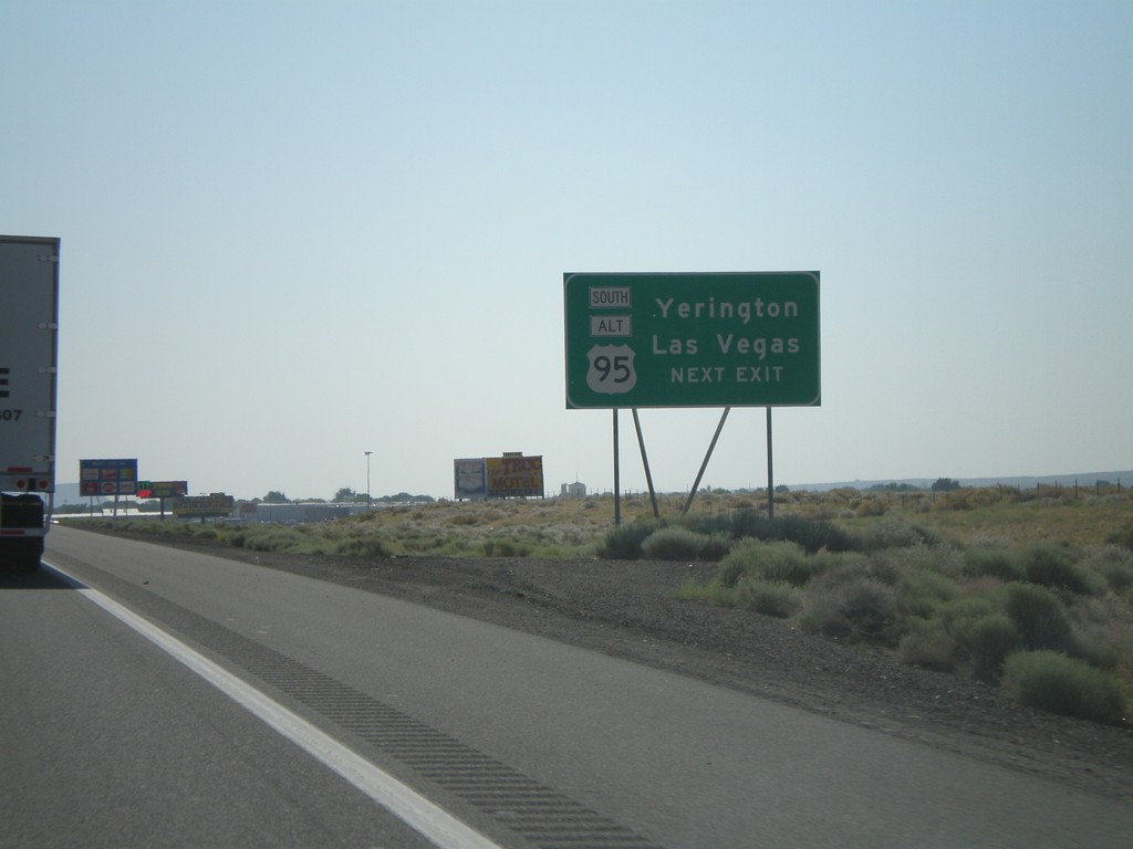
I-80 East Approaching Exit 46
I-80 east approaching Exit 46. Use Exit 46 for Las Vegas and Yerrington via Alt. US-95 South.
Taken 07-07-2008


 Fernley
Lyon County
Nevada
United States
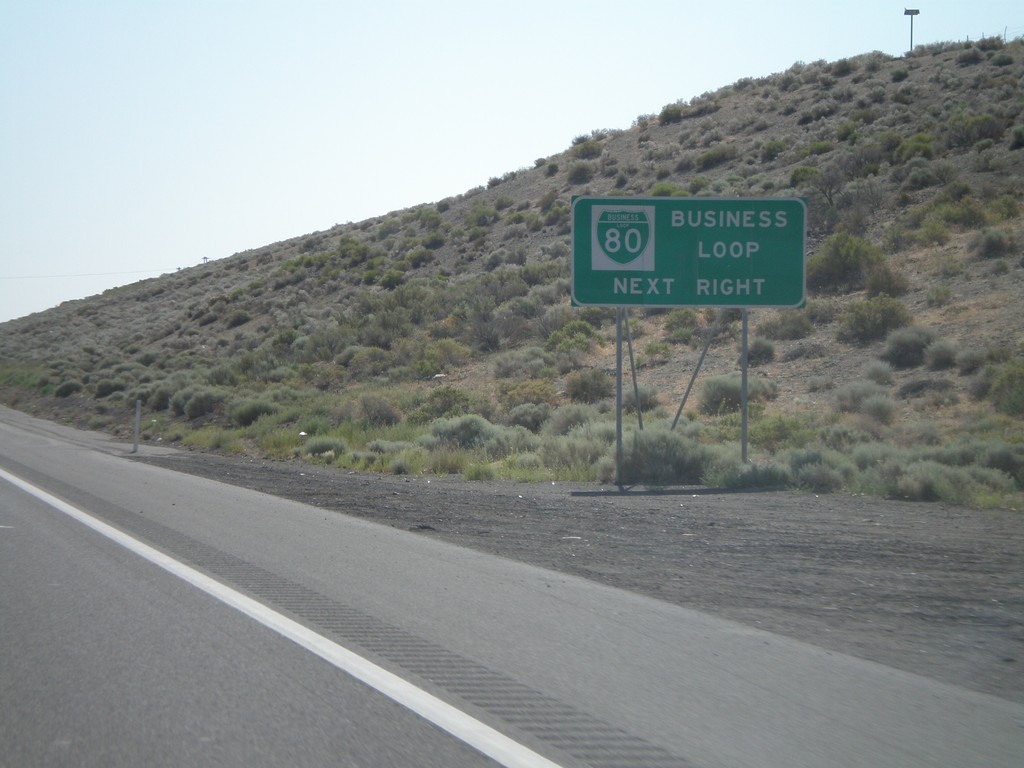
I-80 East Approaching Exit 46
I-80 east approaching Exit 46. Use Exit 46 for Bus. I-80 through Fernley.
Taken 07-07-2008


 Fernley
Lyon County
Nevada
United States
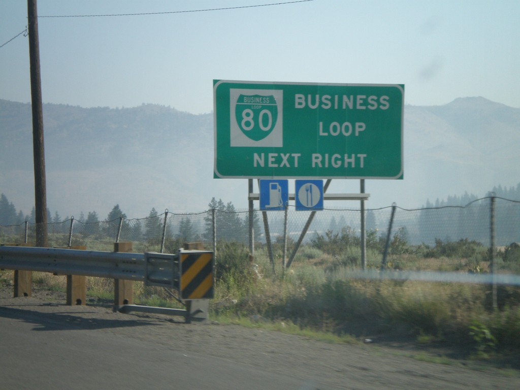
I-80 East Approaching Exit 2
I-80 east approaching Exit 2 - Verdi. Use Exit 2 for Business Loop I-80.
Taken 07-07-2008

 Verdi
Washoe County
Nevada
United States
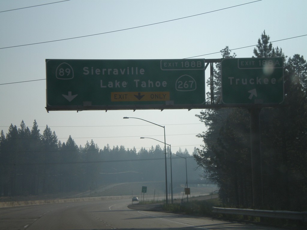
I-80 East Exit 188A and Exit 188B
I-80 east at Exit 188A - Truckee and approaching Exit 188B - CA-89/Sierraville/CA-89/Lake Tahoe
Taken 07-07-2008


 Truckee
Nevada County
California
United States
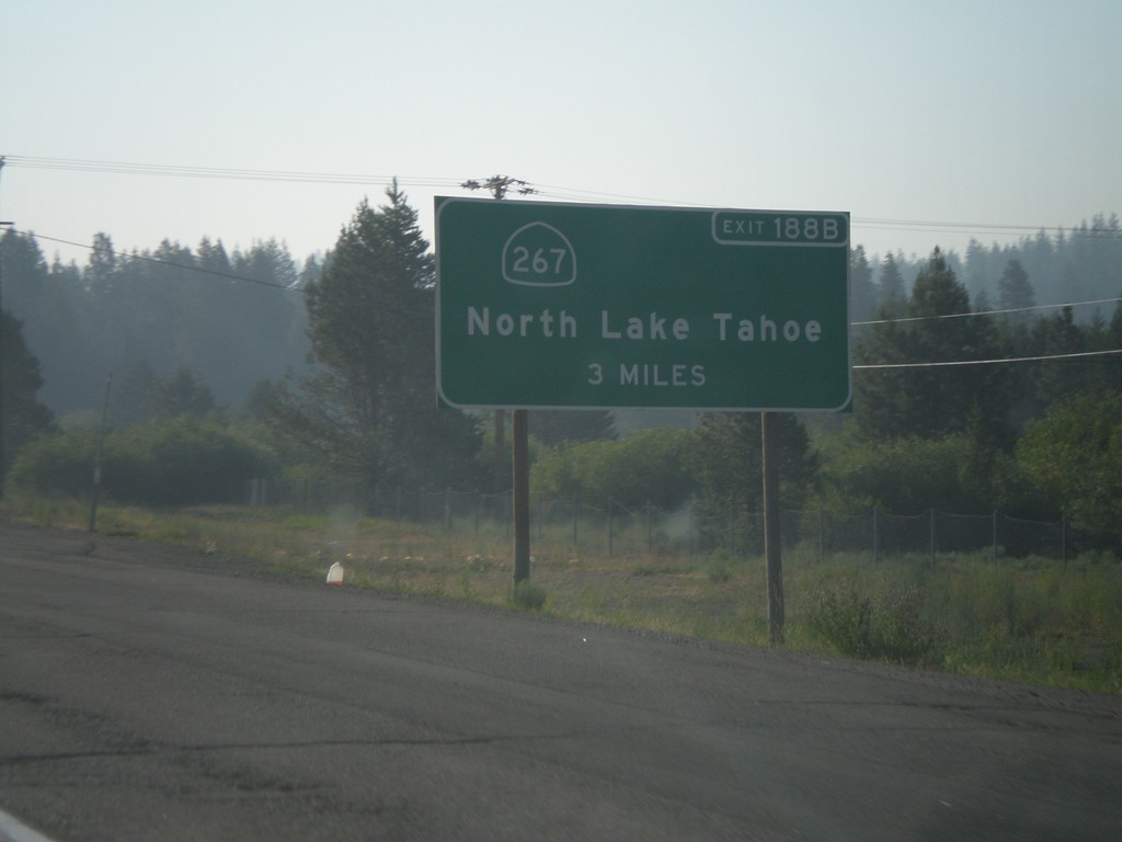
I-80 East Advanced Signage for CA-267
I-80 east approaching Exit 185 - CA-89 South/Lake Tahoe. Advanced signage for Exit 188B - CA-267/North Lake Tahoe.
Taken 07-07-2008

 Truckee
Nevada County
California
United States
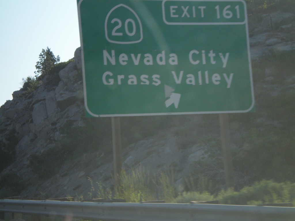
I-80 East Exit 161
I-80 east at Exit 161 - CA-20/Nevada City/Grass Valley
Taken 07-07-2008

 Yuba Pass
Nevada County
California
United States
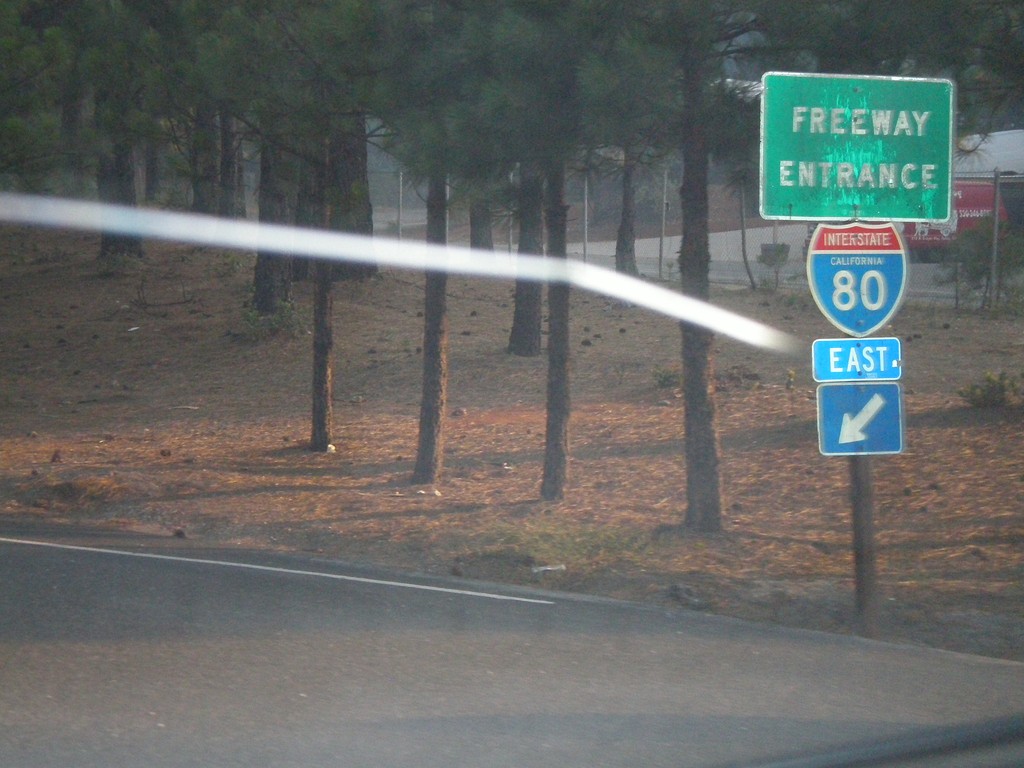
End CA-174 South at I-80 Freeway Entrance
End CA-174 south at I-80 east freeway entrance.
Taken 07-07-2008

 Colfax
Placer County
California
United States
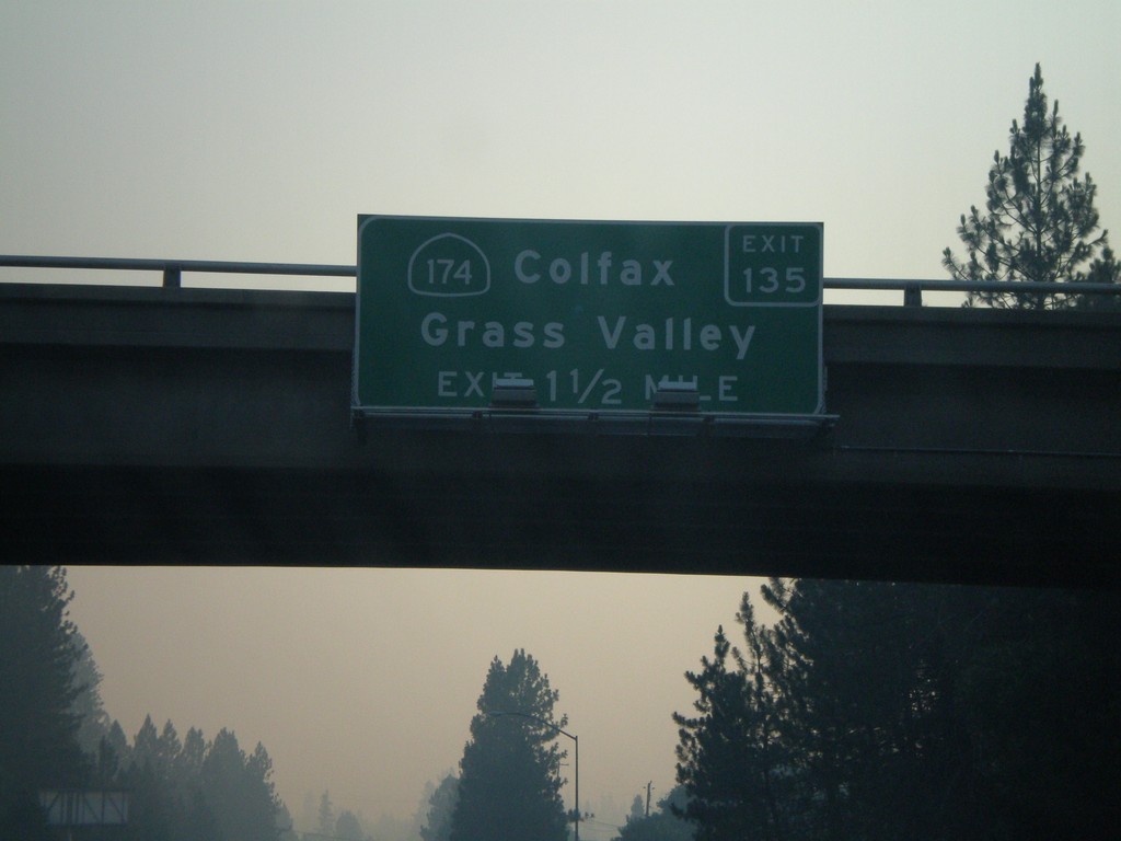
I-80 East Exit 135
I-80 east approaching Exit 135 - CA-174/Colfax/Grass Valley.
Taken 07-07-2008

 Colfax
Placer County
California
United States
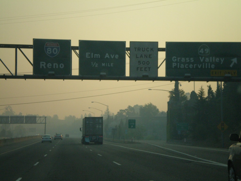
I-80 East Exit 119B and Exit 119C
I-80 east at Exit 119B - CA-49/Grass Valley/Placerville. Approaching Exit 119C - Elm Ave. Overhead for I-80 to Reno.
Taken 07-07-2008

 Auburn
Placer County
California
United States
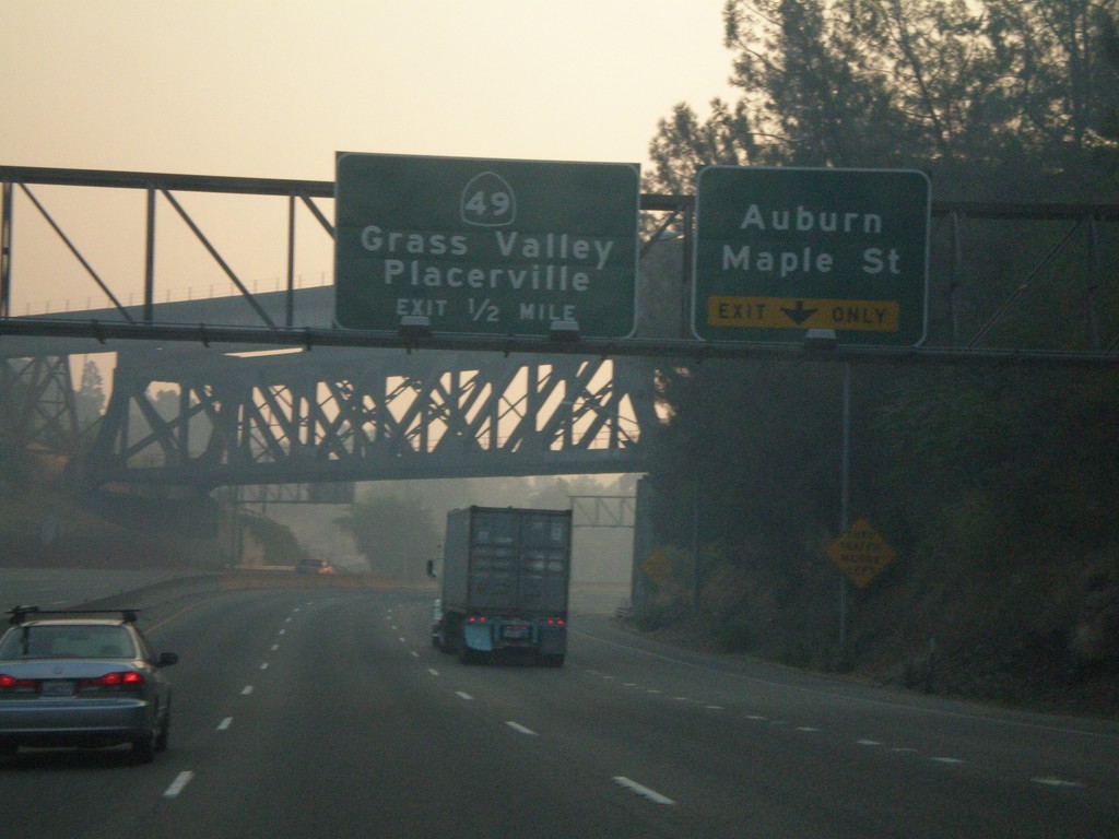
I-80 East Exit 119A and Exit 119B
I-80 east approaching Exit 119A - Auburn/Maple St. and Exit 119B - CA-49/Grass Valley/Placerville.
Taken 07-07-2008

 Auburn
Placer County
California
United States
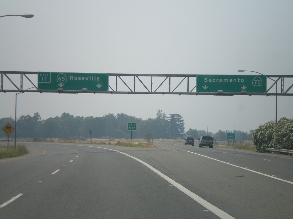
CA-70 South Exit 17
CA-70 south at Exit 17 - CA-65/Roseville. CA-70 continues south to Sacramento.
Taken 07-06-2008

 Olivehurst
Yuba County
California
United States
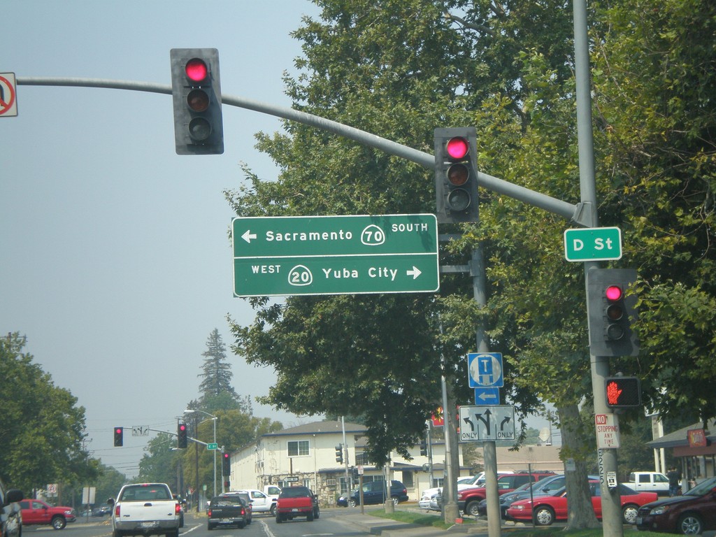
CA-70 South/CA-20 West Split
CA-70 South/CA-20 West at split. Turn left for CA-70 South to Sacramento. Turn right for CA-20 west to Yuba City.
Taken 07-06-2008

 Marysville
Yuba County
California
United States
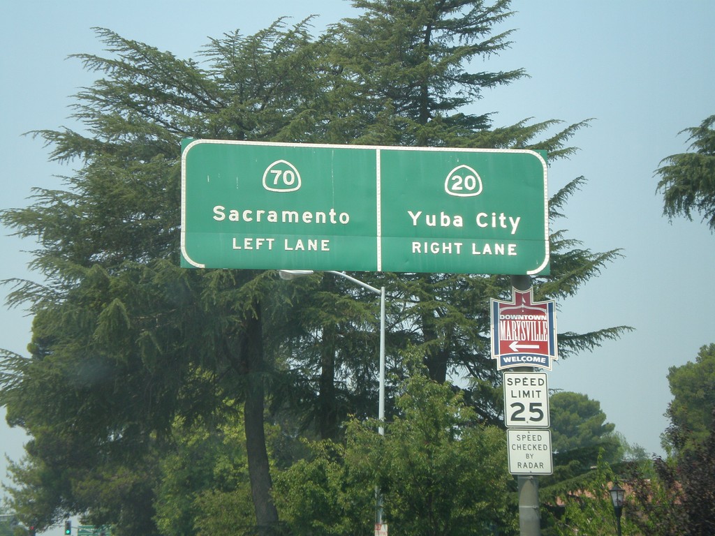
CA-70 South/CA-20 West Split
CA-70 South/CA-20 West approaching split. Use left lane for CA-70 south to Sacramento. Use right lane for CA-20 west to Yuba City.
Taken 07-06-2008

 Marysville
Yuba County
California
United States
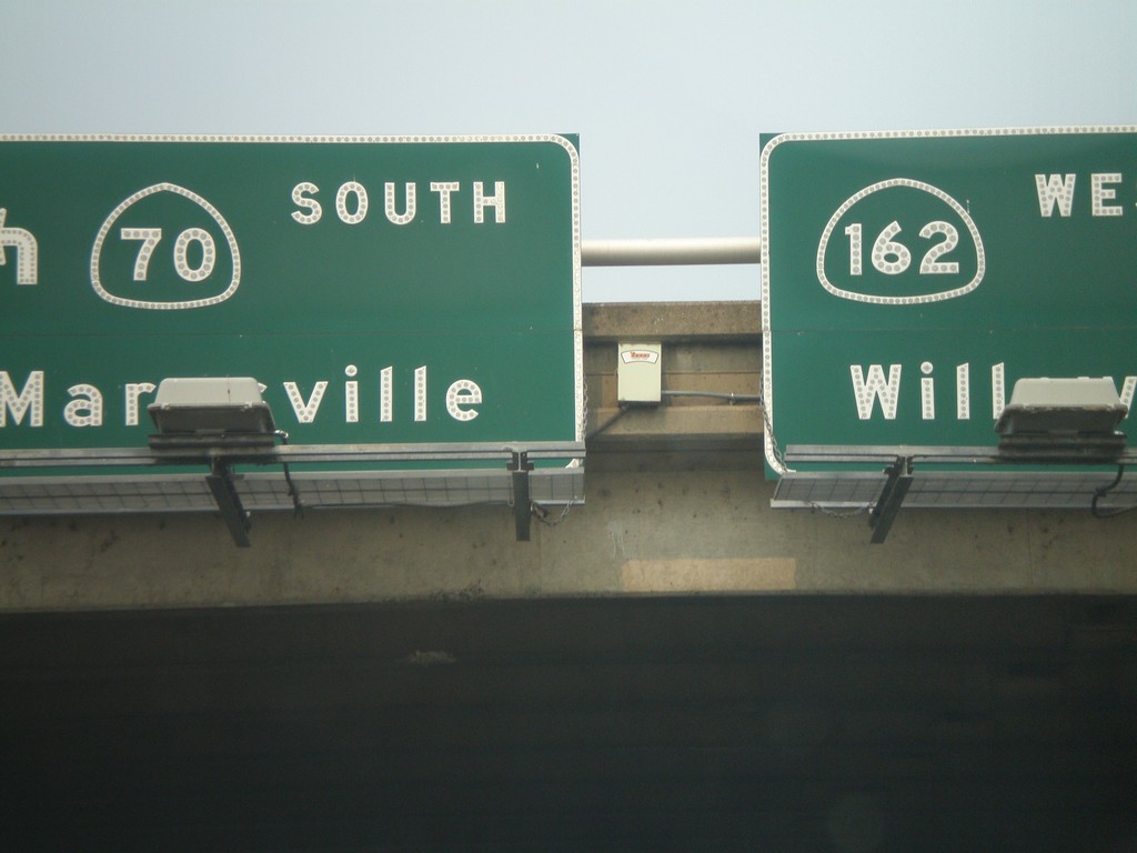
CA-162 West at CA-70 South
Overhead on CA-162 west. Turn left for CA-70 south to Marysville. Continue straight for CA-162 west to Willows.
Taken 07-06-2008

 Oroville
Butte County
California
United States
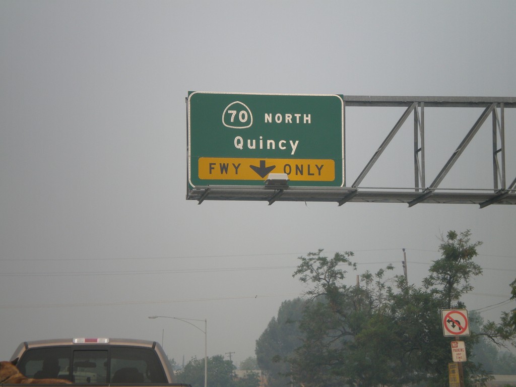
CA-162 West Approaching CA-70
CA-162 west approaching CA-70 North to Quincy onramp.
Taken 07-06-2008

 Oroville
Butte County
California
United States
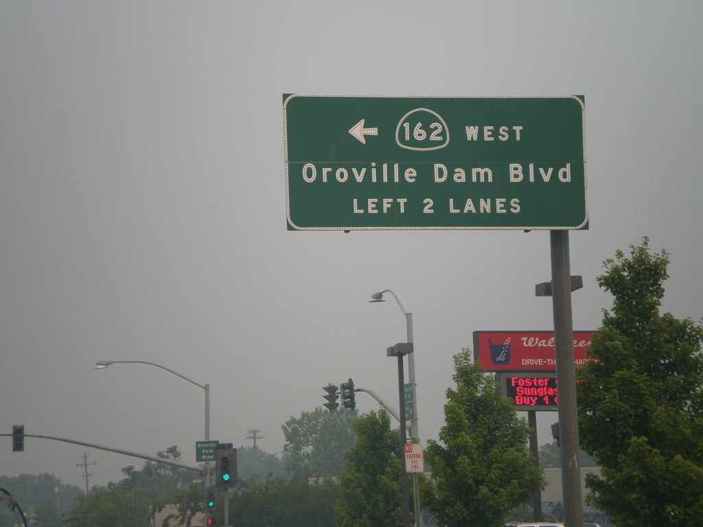
CA-162 West - Oroville Dam Blvd.
CA-162 west (Olive Highway) at Oroville Dam Blvd. CA-162 turns left here and continues on Oroville Dam Blvd.
Taken 07-06-2008
 Oroville
Butte County
California
United States
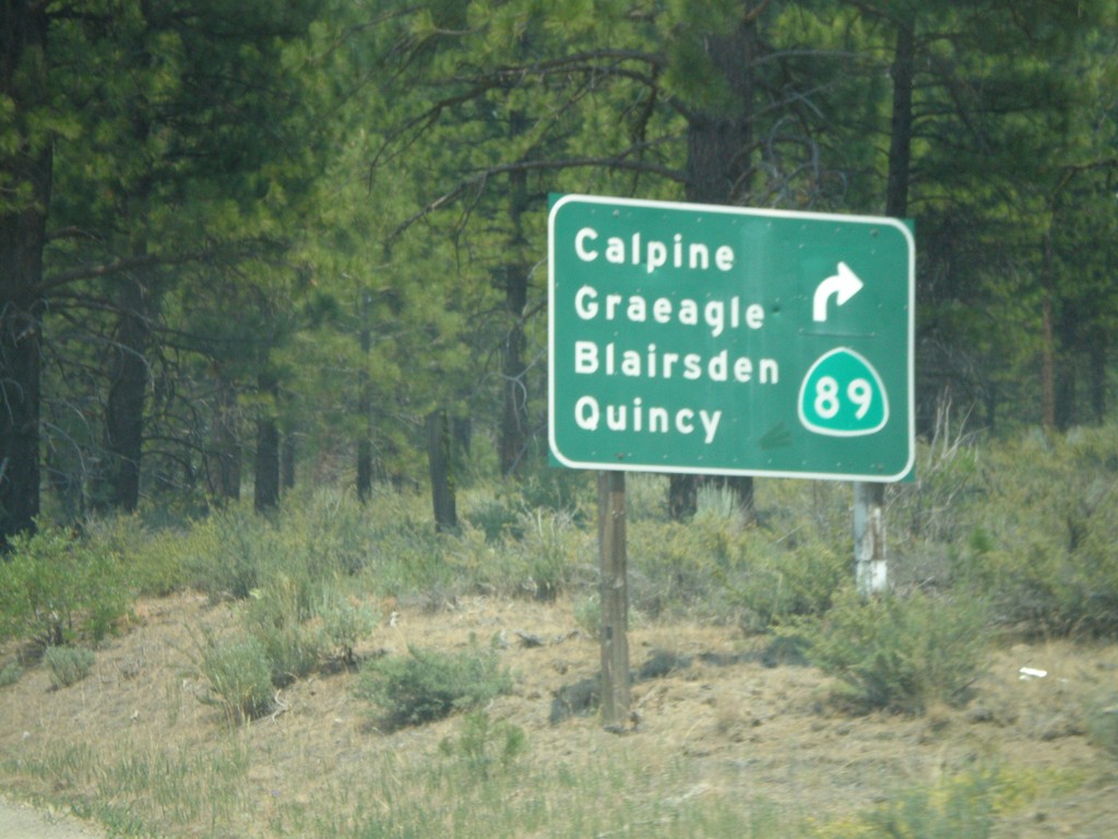
CA-49 South/CA-89 North Split
CA-49 south at CA-89 north split. CA-89 turns left here towards Calpine, Graeagle, Blairsden, and Quincy.
Taken 07-03-2008

 Calpine
Sierra County
California
United States
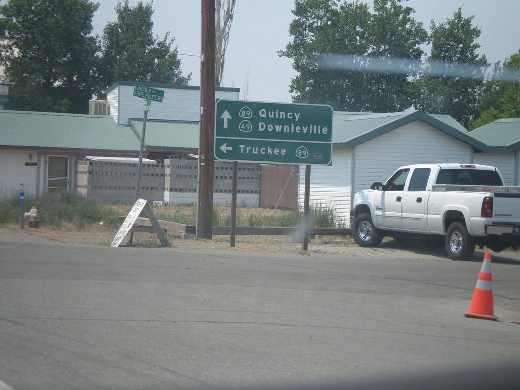
CA-49 South at CA-89
CA-49 south at CA-89 south to Truckee. CA-89 north joins CA-49 south to Sattley.
Taken 07-03-2008

 Sierraville
Sierra County
California
United States