Signs Tagged With Shield Inside Sign
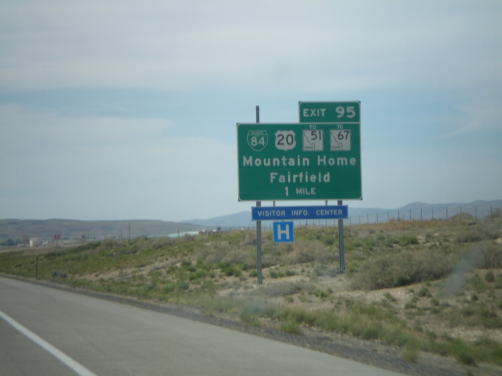
I-84 West Approaching Exit 95
I-84 west approaching Exit 95 - BL-84/US-20/To ID-51/To ID-67/Mountain Home/Fairfield.
Taken 05-19-2008


 Mountain Home
Elmore County
Idaho
United States
Mountain Home
Elmore County
Idaho
United States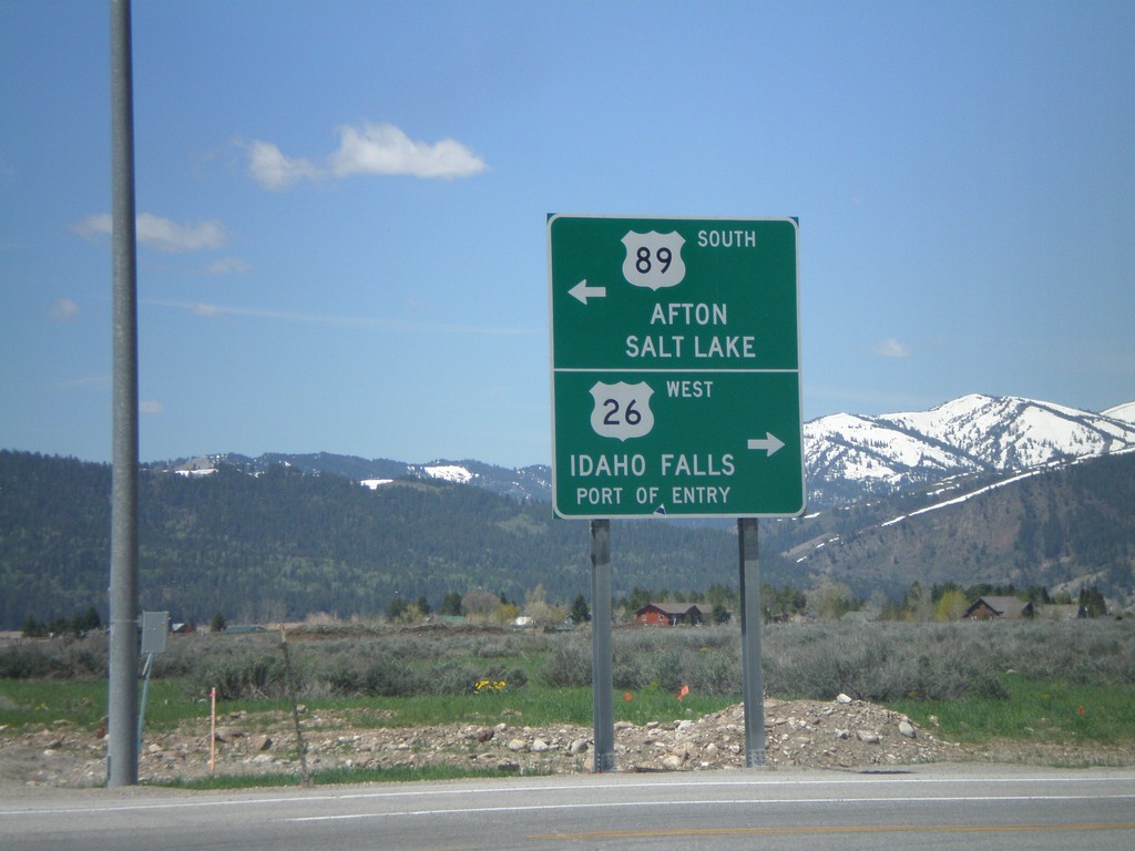
US-26 West/US-89 South Split - Alpine Jct
US-26 West/US-89 South at Alpine Junction. Use US-26 west for Idaho Falls (Idaho) and Port of Entry. Use US-89 south for Afton and Salt Lake (Utah).
Taken 05-19-2008
 Alpine
Lincoln County
Wyoming
United States
Alpine
Lincoln County
Wyoming
United States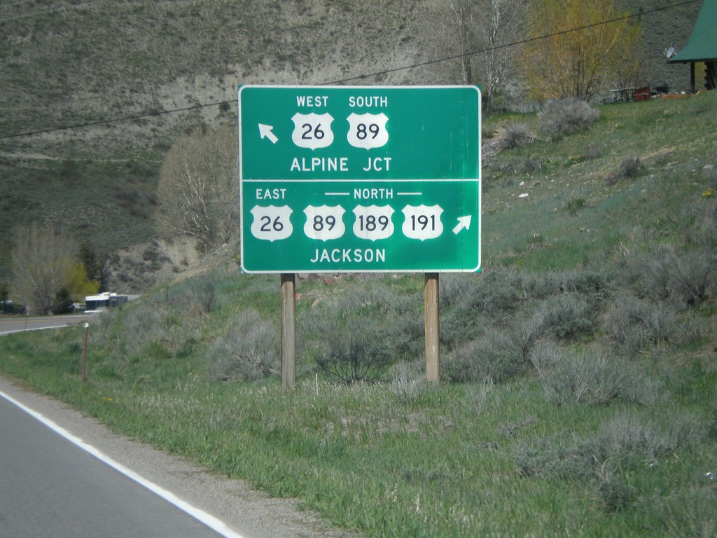
US-191/US-189 North Approaching US-26/US-89
US-191/US-189 North approaching US-26/US-89 at Hoback Junction. Use US-26 East/US-89/US-189/US-191 North to Jackson. Use US-26 West/US-89 South for Alpine Junction.
Taken 05-19-2008

 Jackson
Teton County
Wyoming
United States
Jackson
Teton County
Wyoming
United States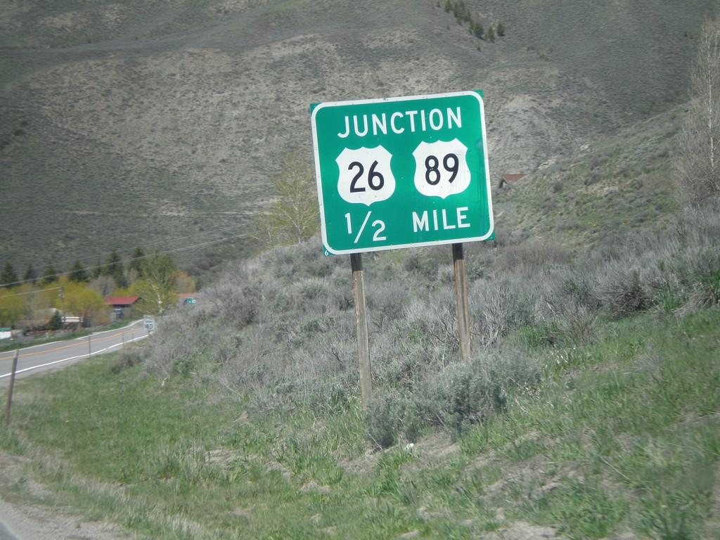
US-191/US-189 North approaching US-26/US-89
US-191/US-189 North approaching US-26/US-89 at Hoback Junction.
Taken 05-19-2008
Jackson
Teton County
Wyoming
United States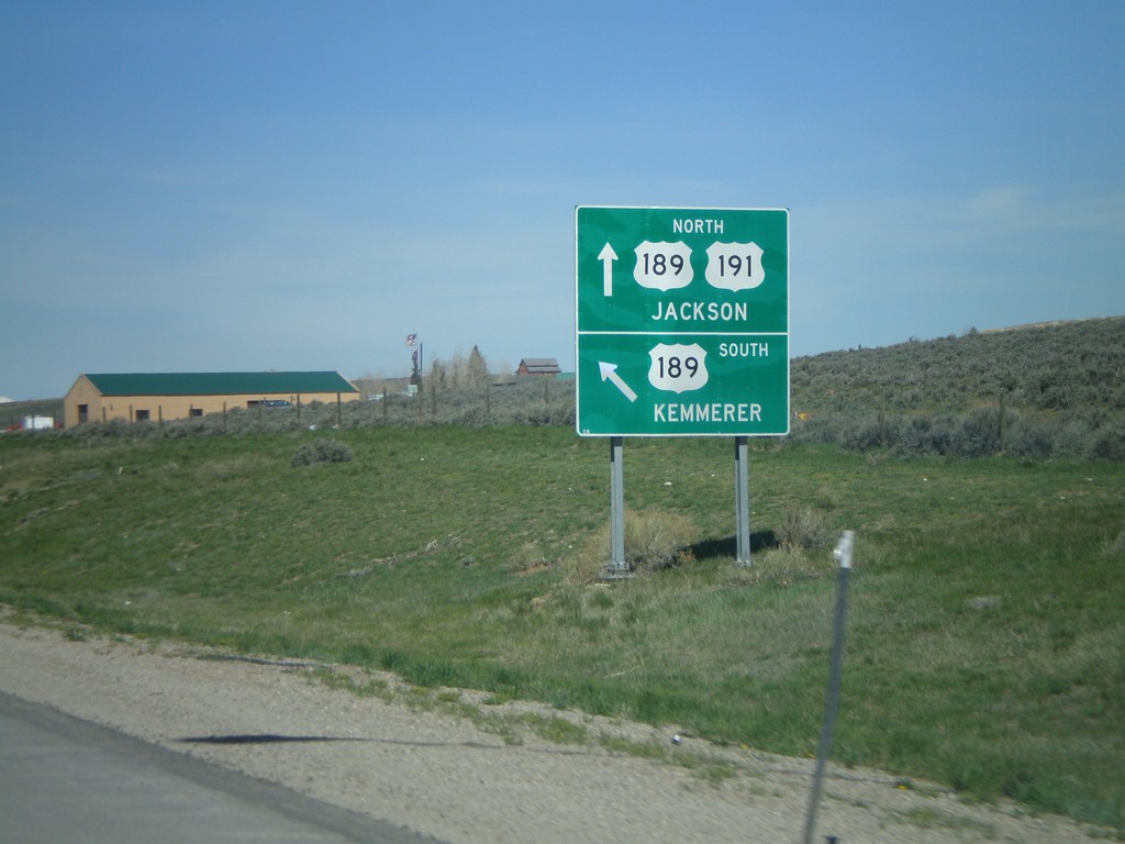
US-191 North At US-189 - Daniel Junction
US-191 North/US-189 at Daniel Junction. Turn left for US-189 south to Kemmerer. Continue straight for US-189/US-191 North to Jackson. US-189 joins US-191 north to Jackson.
Taken 05-19-2008
Pinedale
Sublette County
Wyoming
United States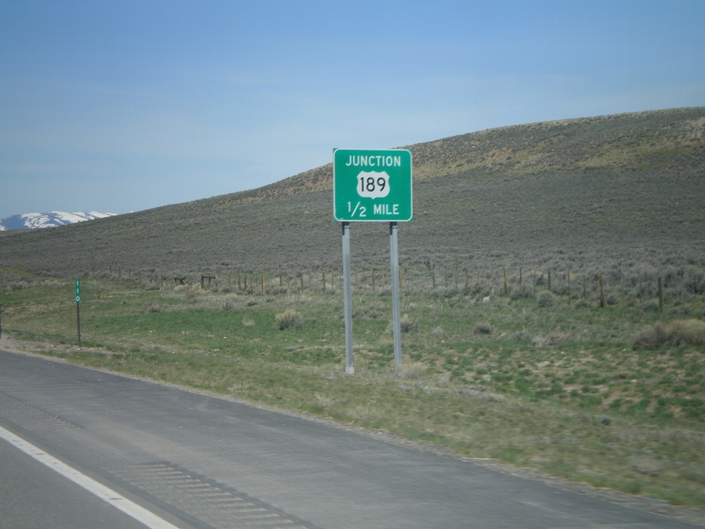
US-191 North Approaching US-189
US-191 north approaching US-189 at Daniel Junction.
Taken 05-19-2008
Pinedale
Sublette County
Wyoming
United States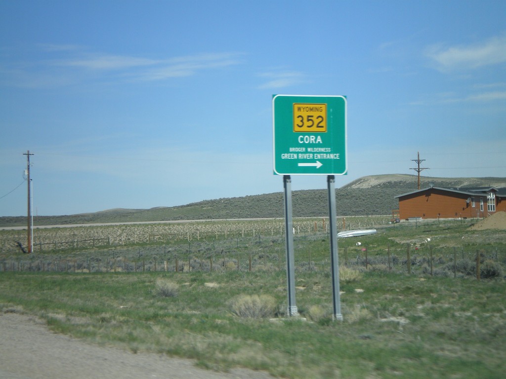
US-189/US-191 North At WY-352
US-189/US-191 North at WY-352 east to Cora and Bridger Wilderness - Green River Entrance.
Taken 05-19-2008
 Pinedale
Sublette County
Wyoming
United States
Pinedale
Sublette County
Wyoming
United States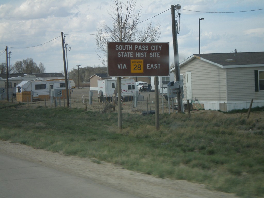
US-191 North Approaching WY-28
US-191 north approaching WY-28 in Farson. Use WY-28 east for South Pass City State Historic Site.
Taken 05-18-2008
 Eden
Sweetwater County
Wyoming
United States
Eden
Sweetwater County
Wyoming
United States
US-191 North Approaching WY-28
US-191 North approaching WY-28 in Farson.
Taken 05-18-2008
Farson
Sweetwater County
Wyoming
United States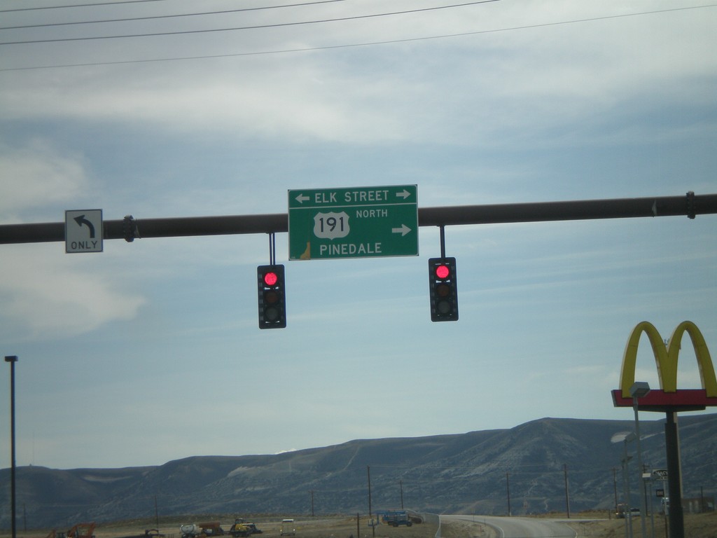
I-80 West - Exit 104 Offramp
I-80 west Exit 104 offramp at US-191 (Elk St.). Turn right for US-191 north to Pinedale.
Taken 05-18-2008
 Rock Springs
Sweetwater County
Wyoming
United States
Rock Springs
Sweetwater County
Wyoming
United States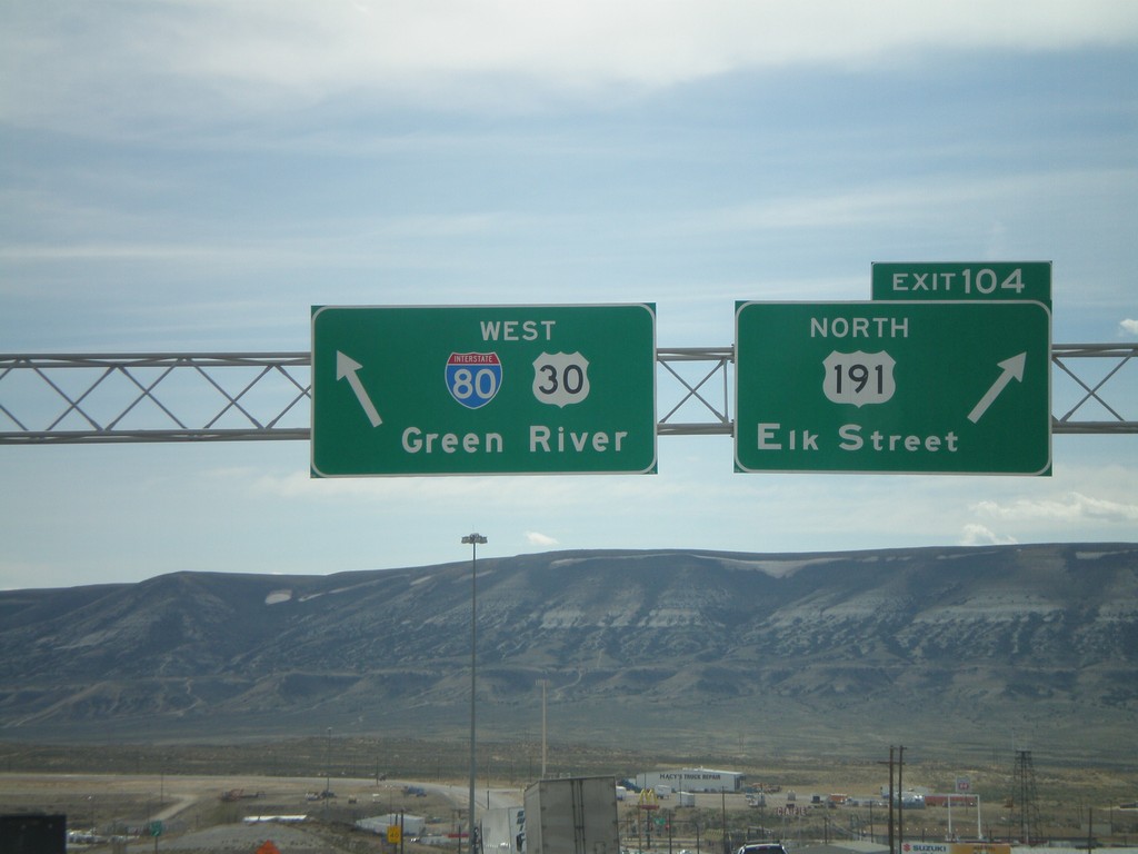
I-80 West - Exit 104
I-80 west at Exit 104 - US-191 North/Elk St. Continue straight for I-80/US-30 West (and US-191 South) to Green River.
Taken 05-18-2008
Rock Springs
Sweetwater County
Wyoming
United States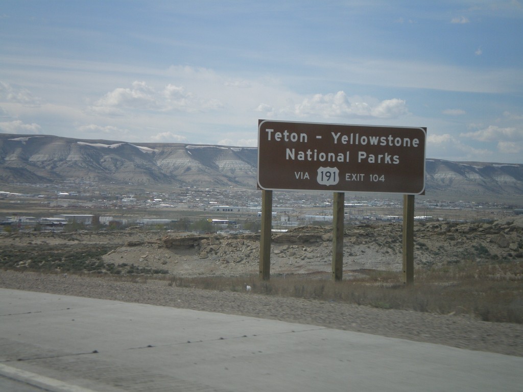
I-80 West Approaching Exit 104
I-80 west - Use US-191 North for Teton - Yellowstone National Parks.
Taken 05-18-2008
Rock Springs
Sweetwater County
Wyoming
United States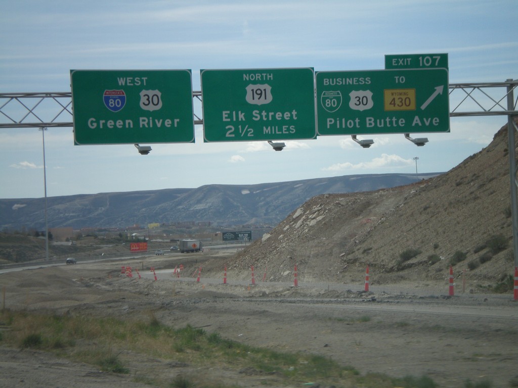
I-80 West - Exit 107 and Exit 104
I-80 west at Exit 107 - BL-80/Bus. US-30/To WY-430/Pilot Butte Ave. Approaching Exit 104 - US-191 North/Elk St. I-80/US-30 continue west to Green River.
Taken 05-18-2008


 Rock Springs
Sweetwater County
Wyoming
United States
Rock Springs
Sweetwater County
Wyoming
United States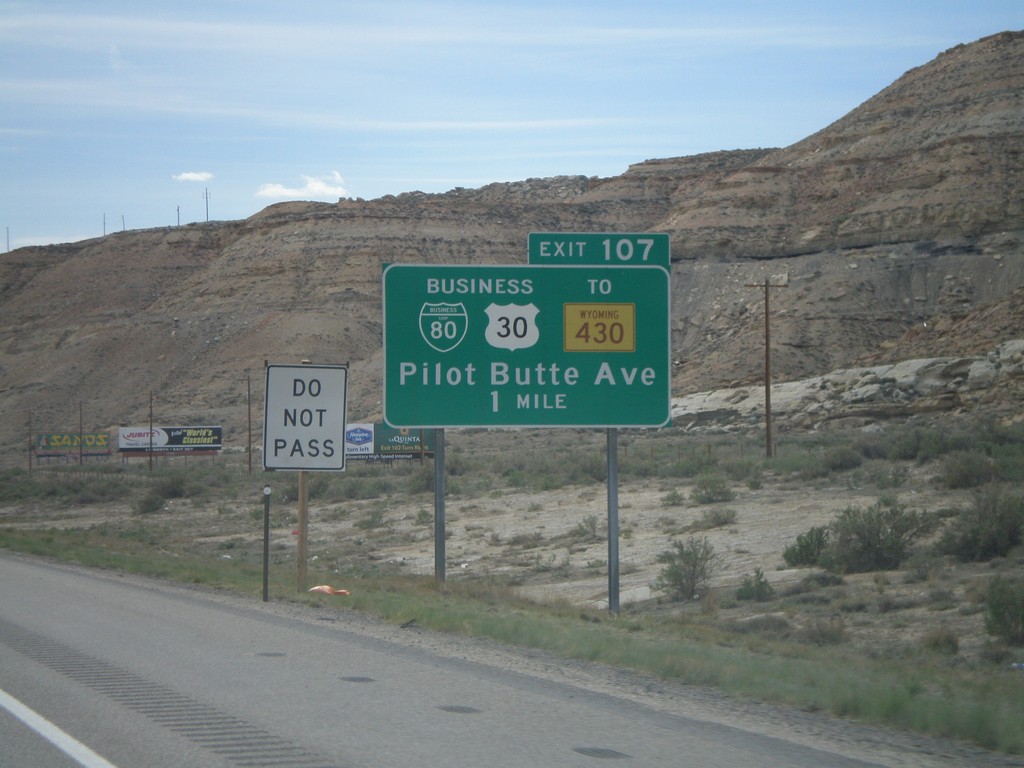
I-80 West Approaching Exit 107
I-80/US-30 west approaching Exit 107 - BL-80/Bus. US-30/To WY-430/PIlot Butte Ave.
Taken 05-18-2008
Rock Springs
Sweetwater County
Wyoming
United States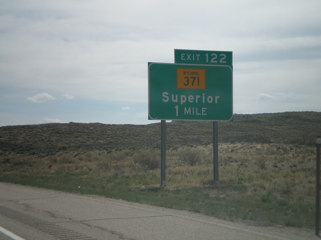
I-80 West - Exit 122
I-80 west approaching Exit 122 - WY-371/Superior.
Taken 05-18-2008
 Rock Springs
Sweetwater County
Wyoming
United States
Rock Springs
Sweetwater County
Wyoming
United States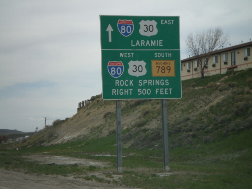
BL-80/BL-80/WY-789 South Approaching I-80
BL-80/BL-30/WY-789 South approaching I-80. Turn right for I-80/US-30/WY-789 towards Rock Springs. Continue ahead for I-80/US-30 East to Laramie.
Taken 05-18-2008
 Rawlins
Carbon County
Wyoming
United States
Rawlins
Carbon County
Wyoming
United States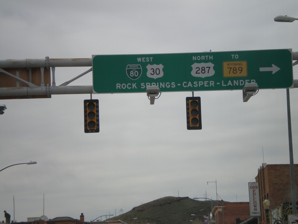
BL-80/BL-30 West/US-287 North - Rawlins
BL-80/US-30/US-287/To WY-789 to Rock Springs, Casper, and Lander.
Taken 05-18-2008
 Rawlins
Carbon County
Wyoming
United States
Rawlins
Carbon County
Wyoming
United States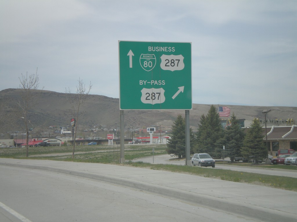
BL-80 West/US-287 North at US-287 Bypass
BL-80 West/US-287 North approaching US-287 North Bypass.
Taken 05-18-2008
Rawlins
Carbon County
Wyoming
United States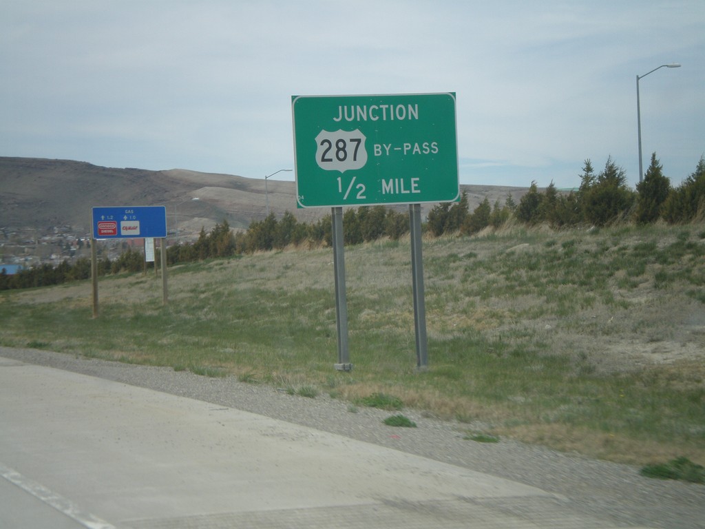
BL-80 West/US-287 North Approaching US-287 By-Pass
BL-80 West/US-287 North approaching US-287 North Bypass. US-287 Bypass avoids downtown Rawlins.
Taken 05-18-2008
Rawlins
Carbon County
Wyoming
United States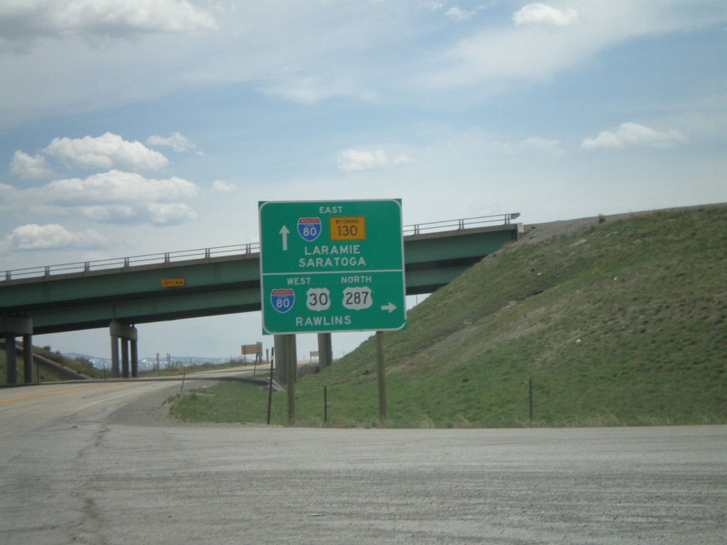
US-30 West/US-287 North at I-80
US-30 West/US-287 North at I-80/WY-130. Use I-80 east to Laramie; WY-130 south to Saratoga; I-80/US-30 West/US-287 North to Rawlins.
Taken 05-18-2008
 Walcott
Carbon County
Wyoming
United States
Walcott
Carbon County
Wyoming
United States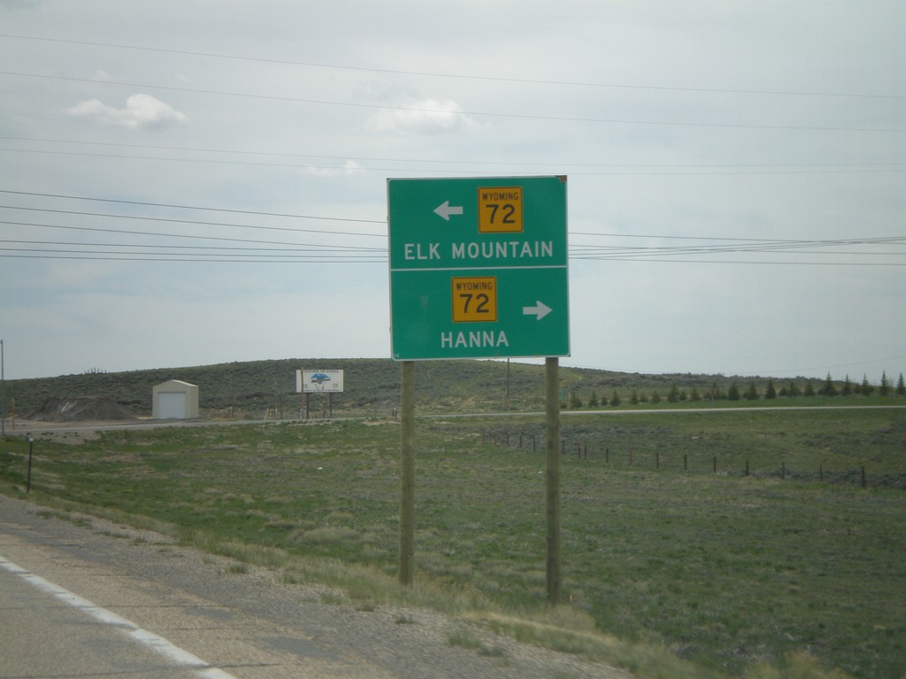
US-30 West/US-287 North At WY-72
US-30 West/US-287 North At WY-72 North to Hanna; south to Elk Mountain.
Taken 05-18-2008
 Hanna
Carbon County
Wyoming
United States
Hanna
Carbon County
Wyoming
United States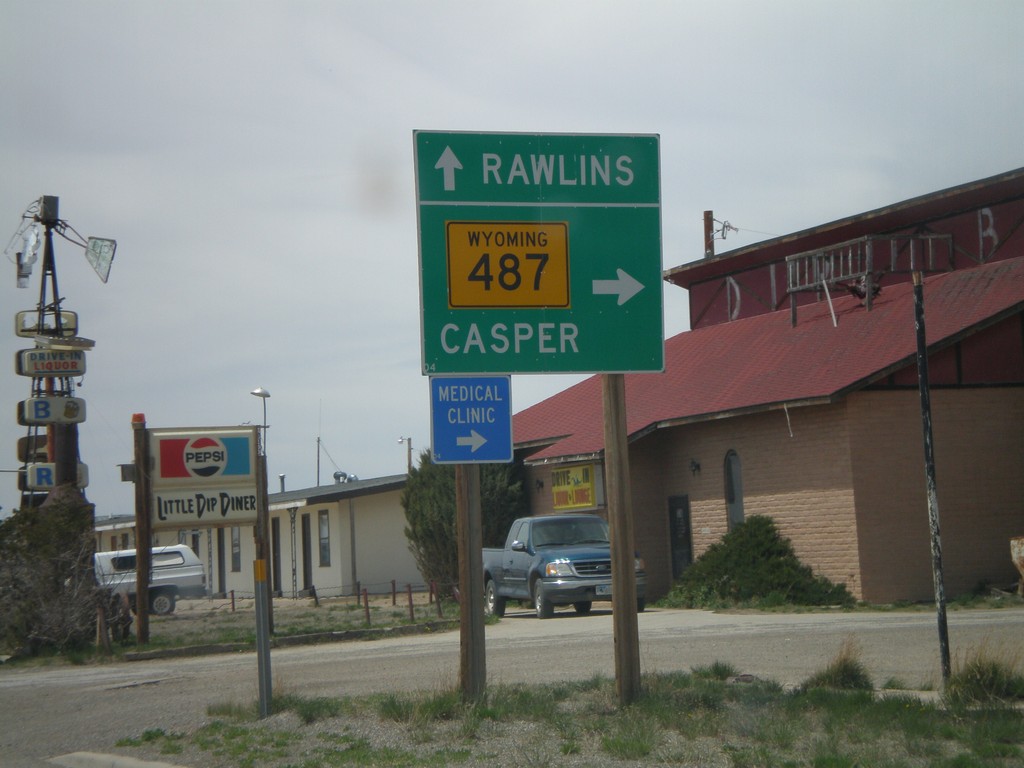
US-30 West/US-287 North at WY-487
US-30 West/US-287 North at WY-487 north to Casper. Continue on US-30 West/US-287 North for Rawlins.
Taken 05-18-2008
 Medicine Bow
Carbon County
Wyoming
United States
Medicine Bow
Carbon County
Wyoming
United States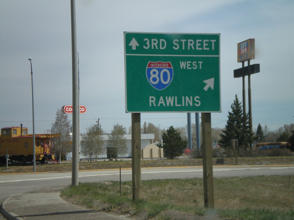
US-287 North at I-80 West
US-287 north at I-80 west to Rawlins. Continue straight for US-287 North/3rd St.
Taken 05-18-2008
Laramie
Albany County
Wyoming
United States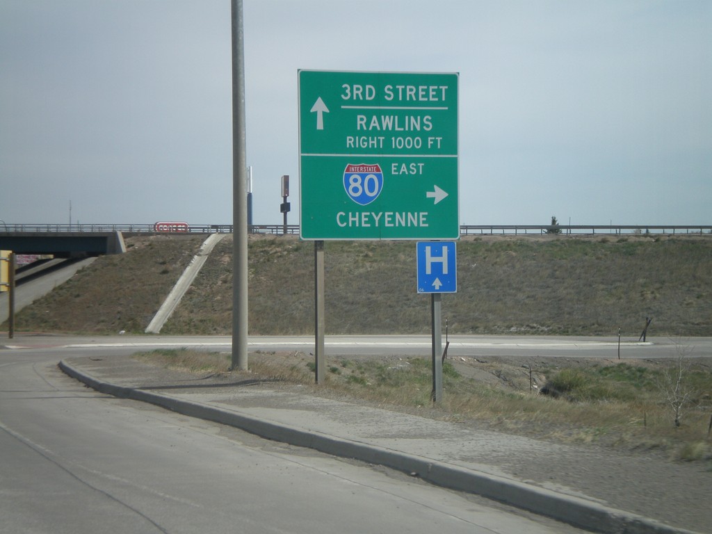
US-287 North At I-80 East
US-287 north at I-80 East to Cheyenne. I-80 West to Rawlins, next right. Continue straight for US-287 North/3rd St.
Taken 05-18-2008
Laramie
Albany County
Wyoming
United States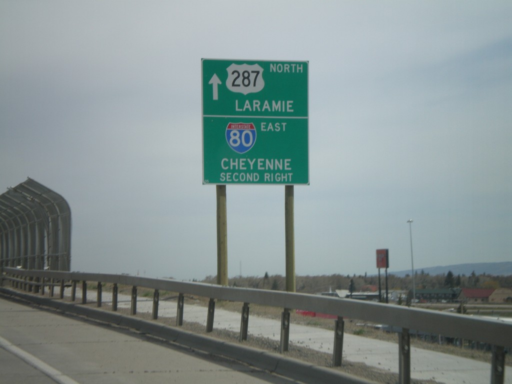
US-287 North Approaching I-80
US-287 North approaching I-80. Continue straight on US-287 for downtown Laramie. Take the second right for I-80 East to Cheyenne.
Taken 05-18-2008
Laramie
Albany County
Wyoming
United States