Signs Tagged With Shield Inside Sign
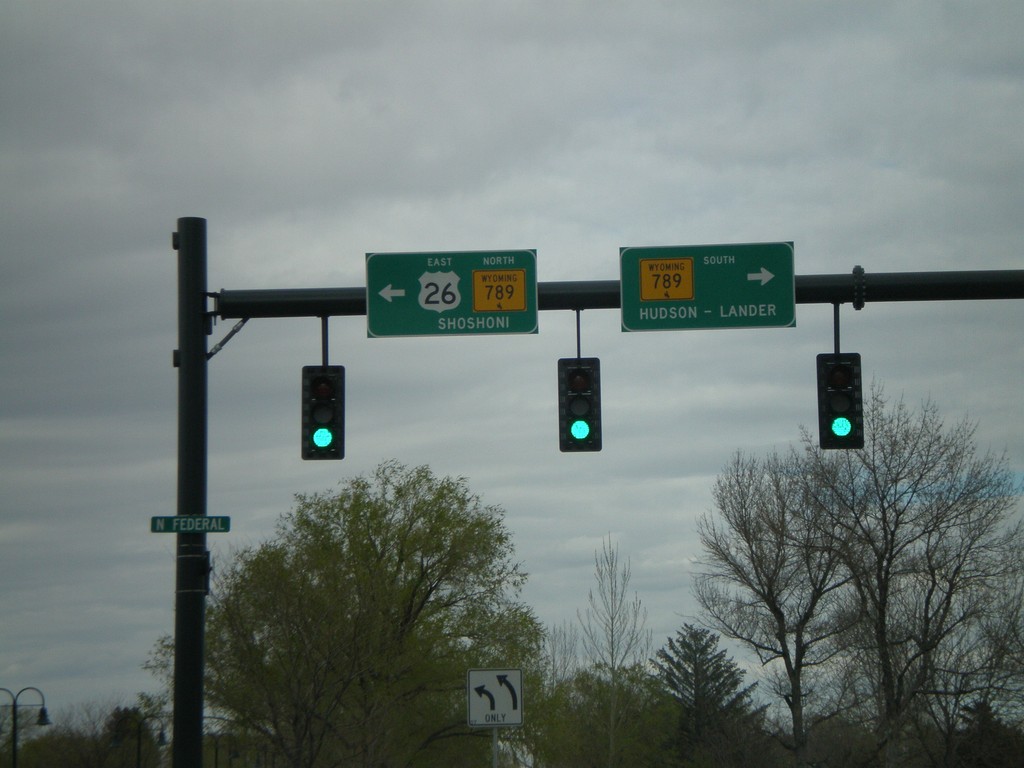
US-26 East at WY-789
US-26 West at WY-789. Turn right for WY-789 to Hudson and Lander; left for US-26 East/WY-789 North to Shoshoni. WY-789 joins US-26 east to Shoshoni.
Taken 05-15-2008

 Riverton
Fremont County
Wyoming
United States
Riverton
Fremont County
Wyoming
United States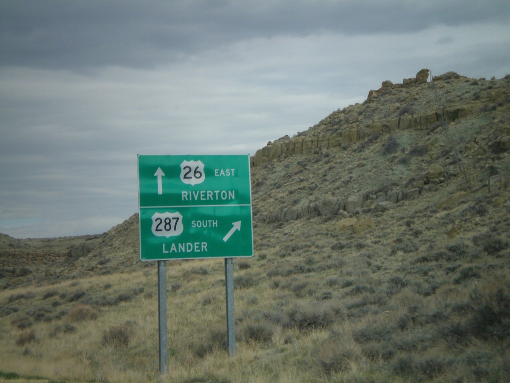
US-26 East/US-287 South Approaching Split
US-26 East/US-287 South approaching US-26/US-287 split. Merge right for US-287 South to Lander; continue straight for US-26 East to Riverton.
Taken 05-15-2008
 Kinnear
Fremont County
Wyoming
United States
Kinnear
Fremont County
Wyoming
United States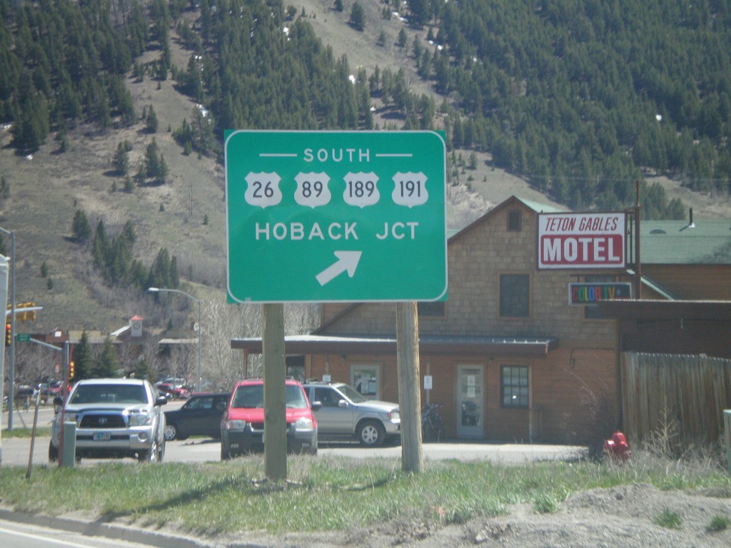
WY-22 East at US-26/US-89/US-189/US-191
End WY-22 East at US-26/US-89/US-189/US-191. Use US-26 West/US-89/US-189/US-191 South to Hoback Junction.
Taken 05-15-2008


 Jackson
Teton County
Wyoming
United States
Jackson
Teton County
Wyoming
United States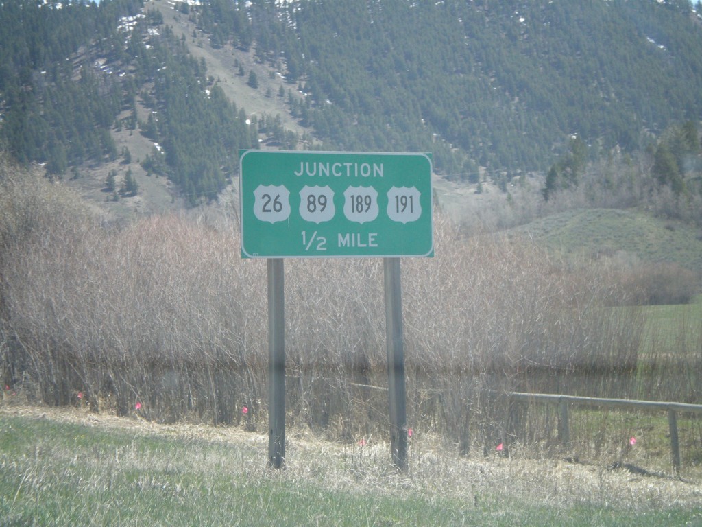
WY-22 East approaching US-26/US-89/US-189/US-191
WY-22 East approaching US-26/US-89/US-189/US-191 in Jackson.
Taken 05-15-2008
Jackson
Teton County
Wyoming
United States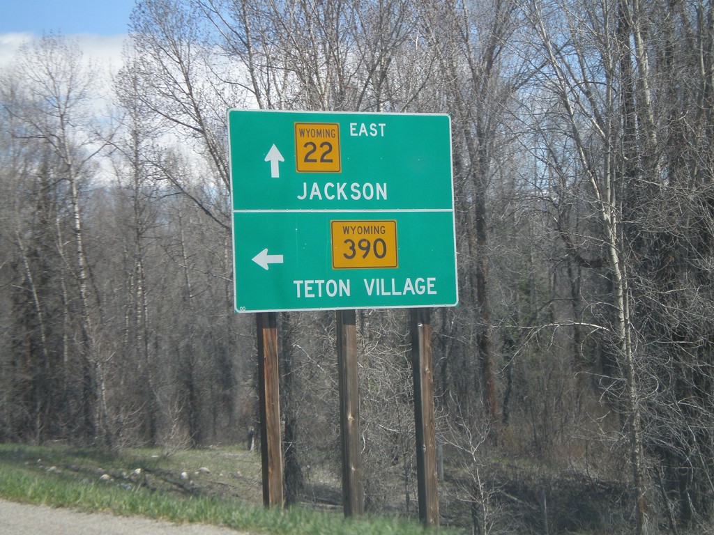
WY-22 East at WY-390
WY-22 east at WY-390 north to Teton Village. Continue east on WY-22 for Jackson.
Taken 05-15-2008
 Wilson
Teton County
Wyoming
United States
Wilson
Teton County
Wyoming
United States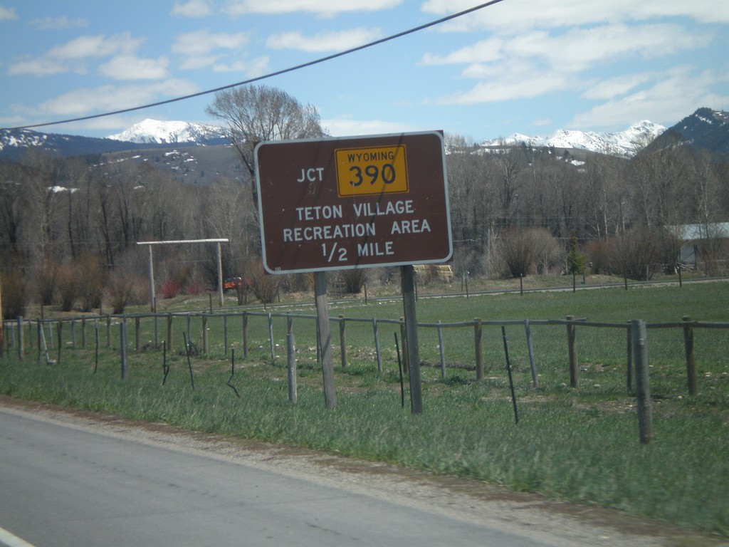
WY-22 East Approaching WY-390
WY-22 east approaching WY-390 north to Teton Village Recreation Area.
Taken 05-15-2008
Wilson
Teton County
Wyoming
United States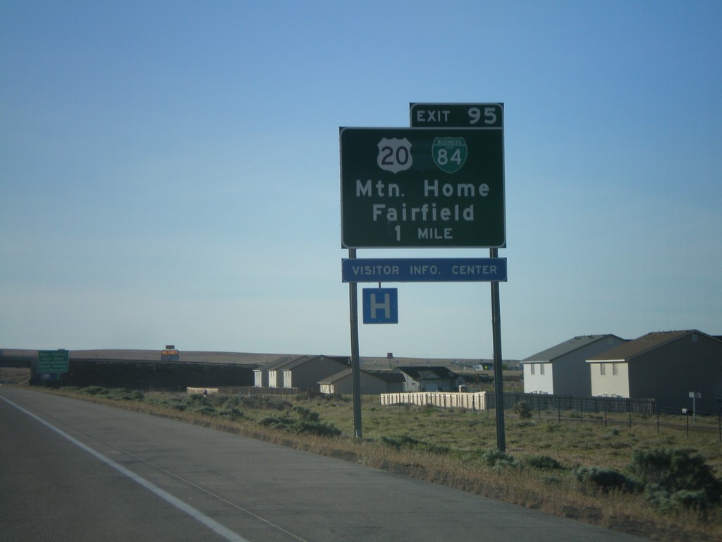
I-84 East - Exit 95
I-84 east approaching Exit 95 - BL-84/US-20/Mountain Home/Fairfield.
Taken 05-15-2008


 Mountain Home
Elmore County
Idaho
United States
Mountain Home
Elmore County
Idaho
United States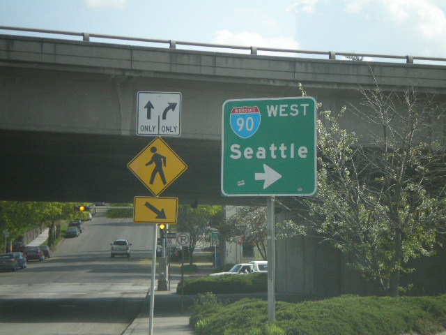
Maple St. South at I-90 West Onramp
Maple St. South at I-90 west onramp to Seattle.
Taken 05-07-2008


 Spokane
 County
Washington
United States
Spokane
Spokane County
Washington
United States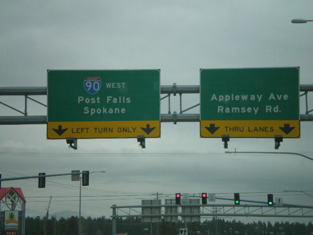
Northwest Blvd. at I-90 West
Northwest Blvd. west at I-90 west to Post Falls and Spokane.
Taken 05-07-2008
Coeur d'Alene
Kootenai County
Idaho
United States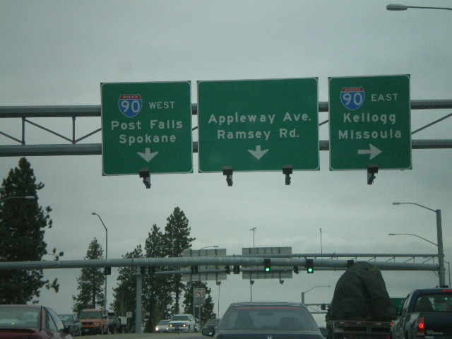
Northwest Blvd. at I-90
Northwest Blvd. west at I-90 east to Kellogg and Missoula. Approaching I-90 west to Post Falls and Spokane.
Taken 05-07-2008
Coeur d'Alene
Kootenai County
Idaho
United States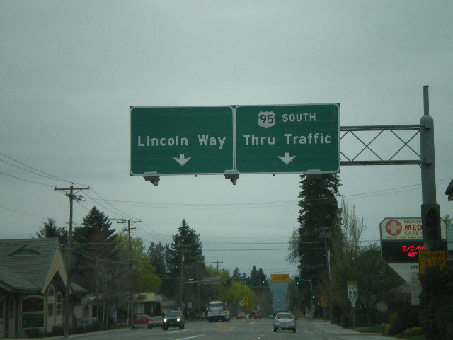
US-95 South at Lincoln Way
US-95 south approaching Lincoln Way.
Taken 05-07-2008
 Coeur d'Alene
Kootenai County
Idaho
United States
Coeur d'Alene
Kootenai County
Idaho
United States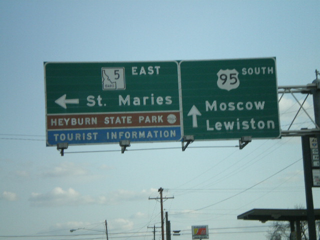
US-95 South at ID-5 East
US-95 south to Moscow and Lewiston at ID-5 east to St. Maries and Heyburn State Park.
Taken 05-05-2008
 Plummer
Benewah County
Idaho
United States
Plummer
Benewah County
Idaho
United States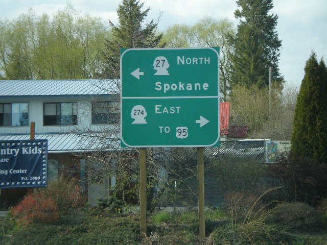
WA-27 North at WA-274
WA-27 north at WA-274 East to US-95.
Taken 05-05-2008

 Tekoa
Whitman County
Washington
United States
Tekoa
Whitman County
Washington
United States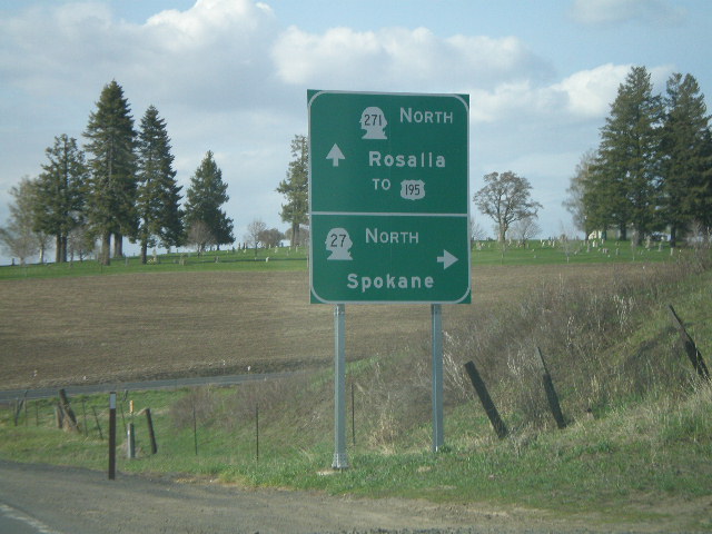
WA-27 North at WA-271 North
WA-27 north at WA-271 north to Rosalia and US-195.
Taken 05-05-2008
 Oakesdale
Whitman County
Washington
United States
Oakesdale
Whitman County
Washington
United States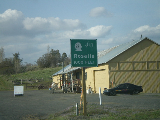
WA-27 North Approaching WA-271
WA-27 north approaching WA-271 to Rosalia.
Taken 05-05-2008
Oakesdale
Whitman County
Washington
United States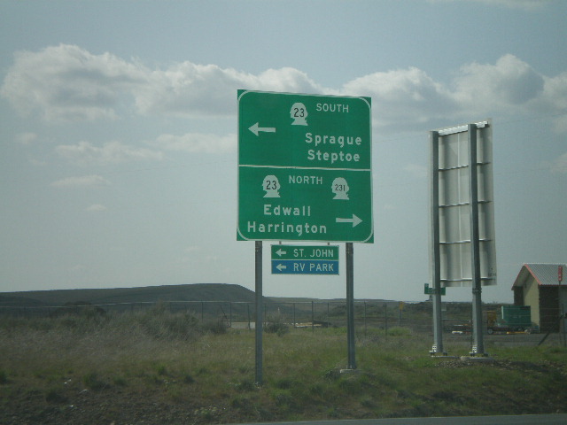
I-90 West at Exit 245 Offramp
I-90 west at Exit 254 offramp at WA-23 jct. WA-23 south to Sprague and Steptoe, and WA-23/WA-231 north to Edwall and Harrington.
Taken 05-05-2008
 Sprague
Lincoln County
Washington
United States
Sprague
Lincoln County
Washington
United States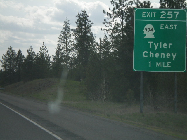
I-90 West - Exit 257
I-90 west approaching Exit 257 - WA-904 East/Tyler/Cheney, 1 mile.
Taken 05-05-2008
 Cheney
Spokane County
Washington
United States
Cheney
Spokane County
Washington
United States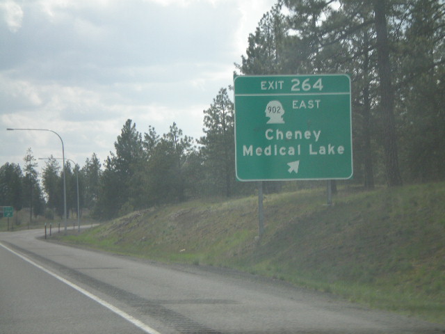
I-90 West - Exit 264
I-90 west at Exit 264 - WA-902 East/Cheney/Medical Lake
Taken 05-05-2008
 Cheney
Spokane County
Washington
United States
Cheney
Spokane County
Washington
United States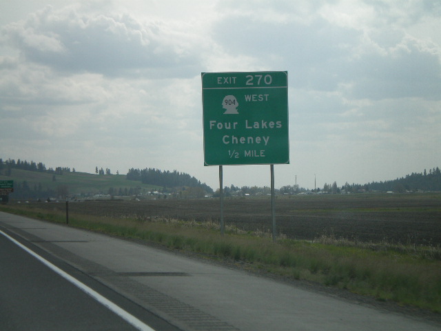
I-90 West - Exit 270
I-90 west approaching Exit 270 - WA-904 West/Four Lakes/Cheney, 1/2 mile.
Taken 05-05-2008
Four Lakes
Spokane County
Washington
United States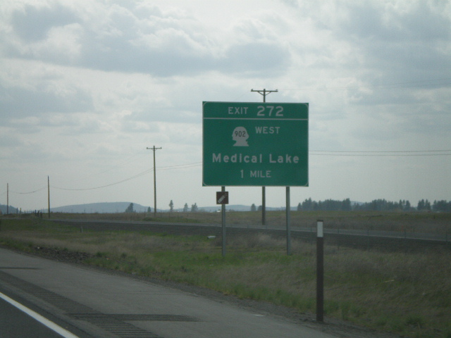
I-90 West - Exit 272
I-90 west approaching Exit 272 - WA-902 West/Medical Lake, 1 mile.
Taken 05-05-2008
Hayford
Spokane County
Washington
United States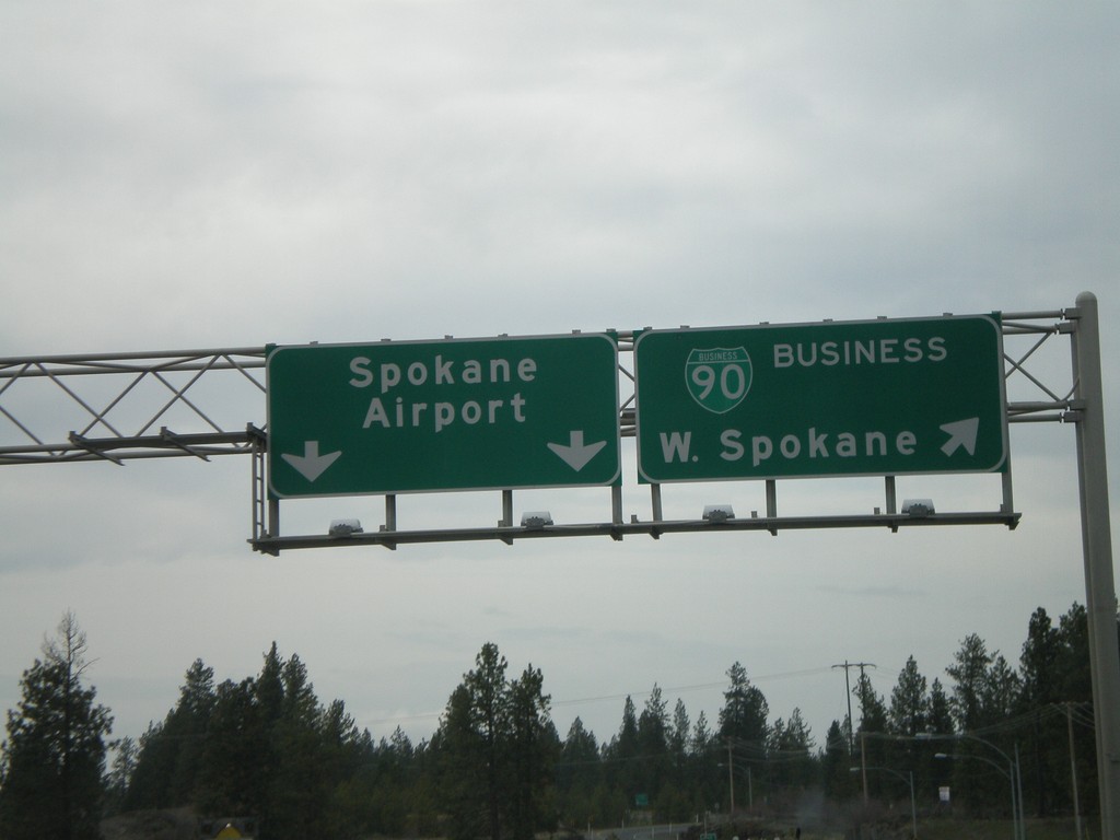
US-2 West - BL-90 Exit - Airport/W. Spokane Split
US-2 West at offramp to BL-90/West Spokane and Spokane Airport.
Taken 04-14-2008
 Spokane
 County
Washington
United States
Spokane
Spokane County
Washington
United States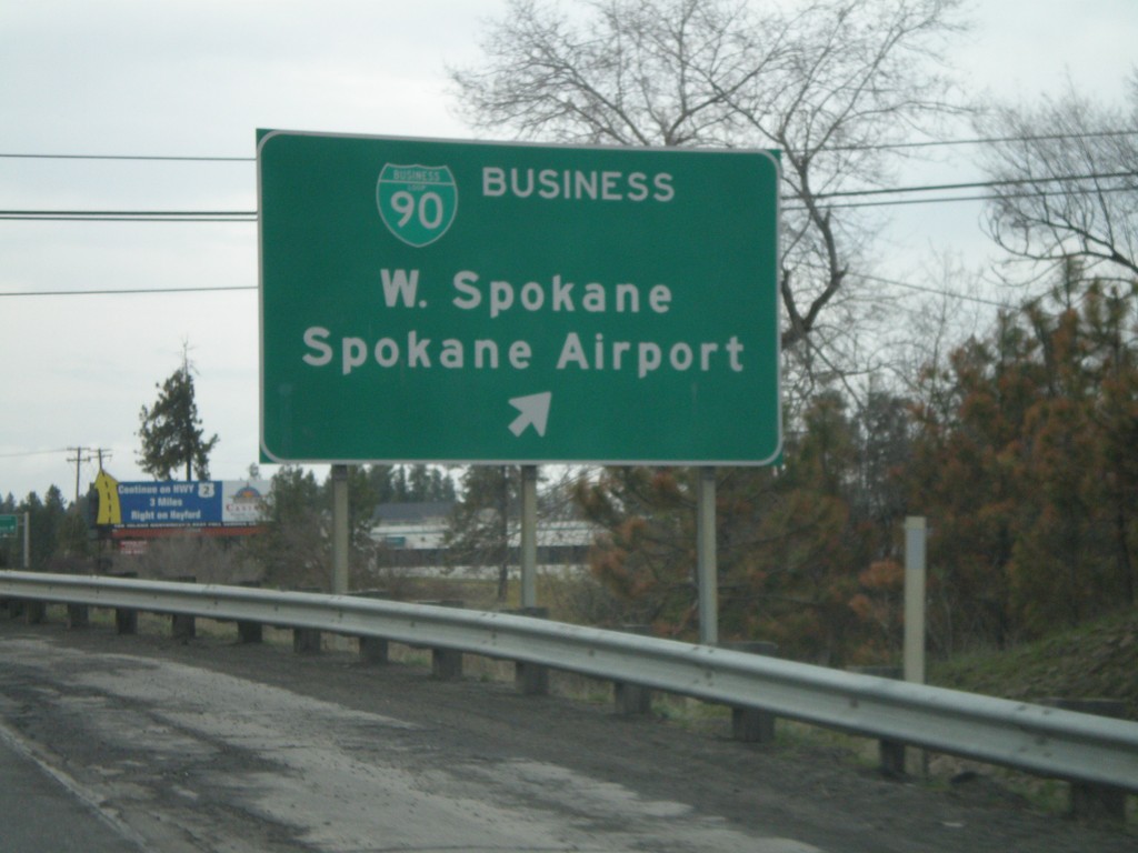
US-2 West - BL-90 Exit
US-2 west at BL-90/West Spokane/Spokane Airport exit.
Taken 04-14-2008
Spokane
Spokane County
Washington
United States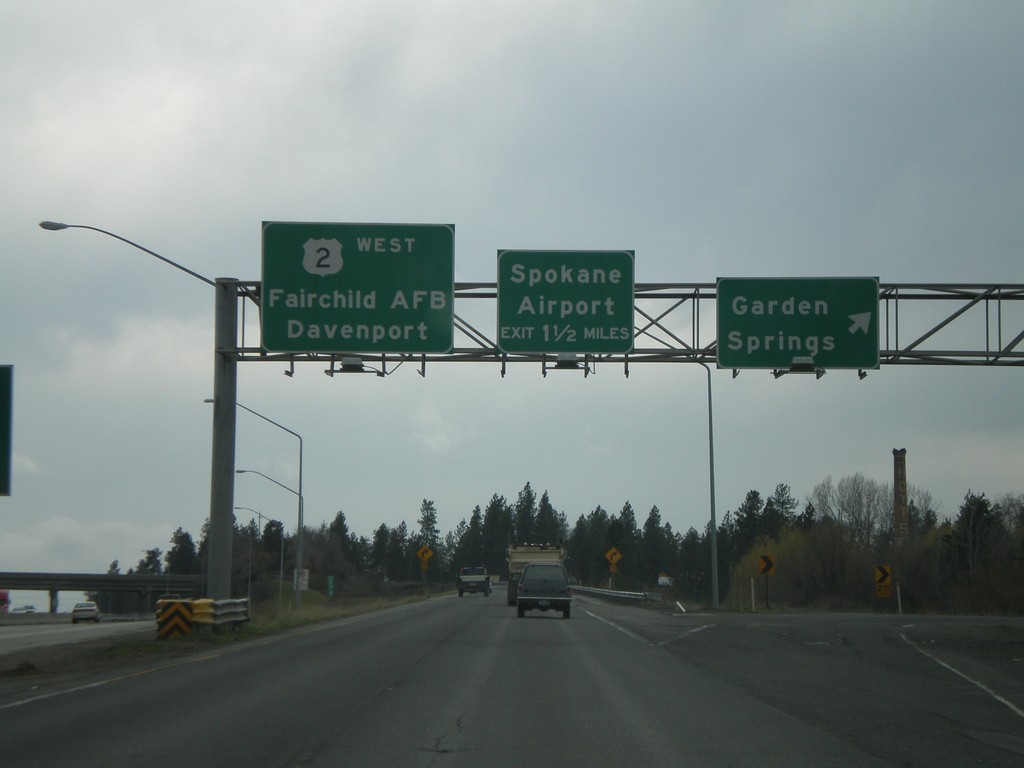
US-2 West - Garden Springs Exit
US-2 west at Garden Springs exit. Approaching Spokane Airport exit. Overhead to Fairchild AFB and Davenport.
Taken 04-14-2008
Spokane
Spokane County
Washington
United States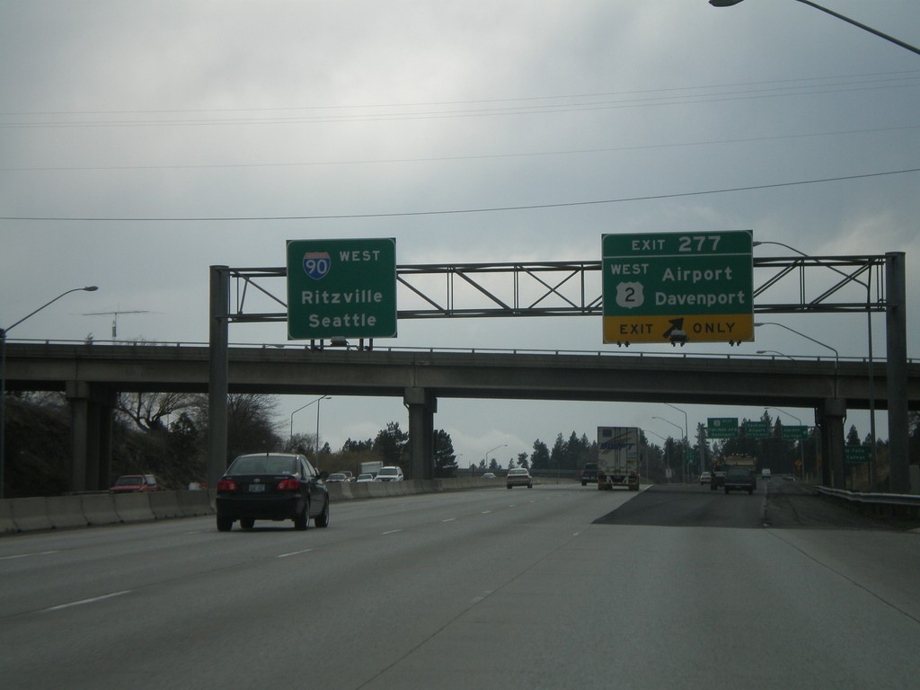
I-90 West - Exit 277
I-90 west at Exit 277 - US-2 West/Airport/Davenport. I-90 overhead to Ritzville and Seattle.
Taken 04-14-2008
Spokane
Spokane County
Washington
United States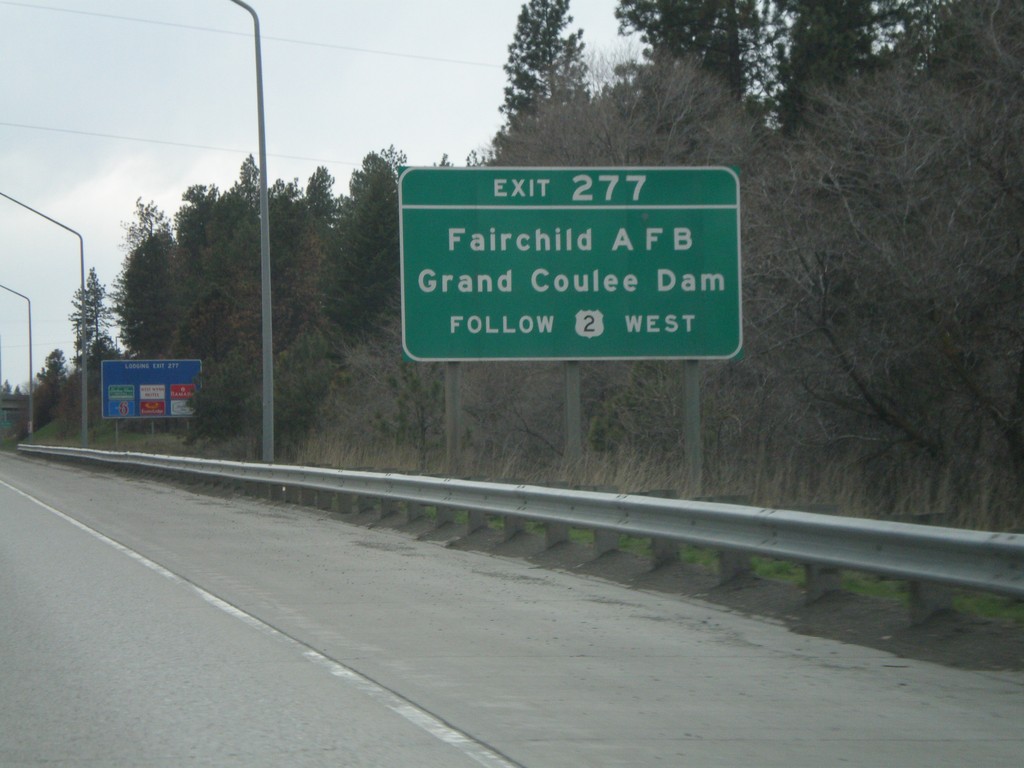
I-90 West - Exit 277
I-90 west approaching Exit 277 - US-2 West. Use US-2 West for Fairchild AFB and Grand Coulee Dam.
Taken 04-14-2008
Spokane
Spokane County
Washington
United States