Signs Tagged With Shield Inside Sign
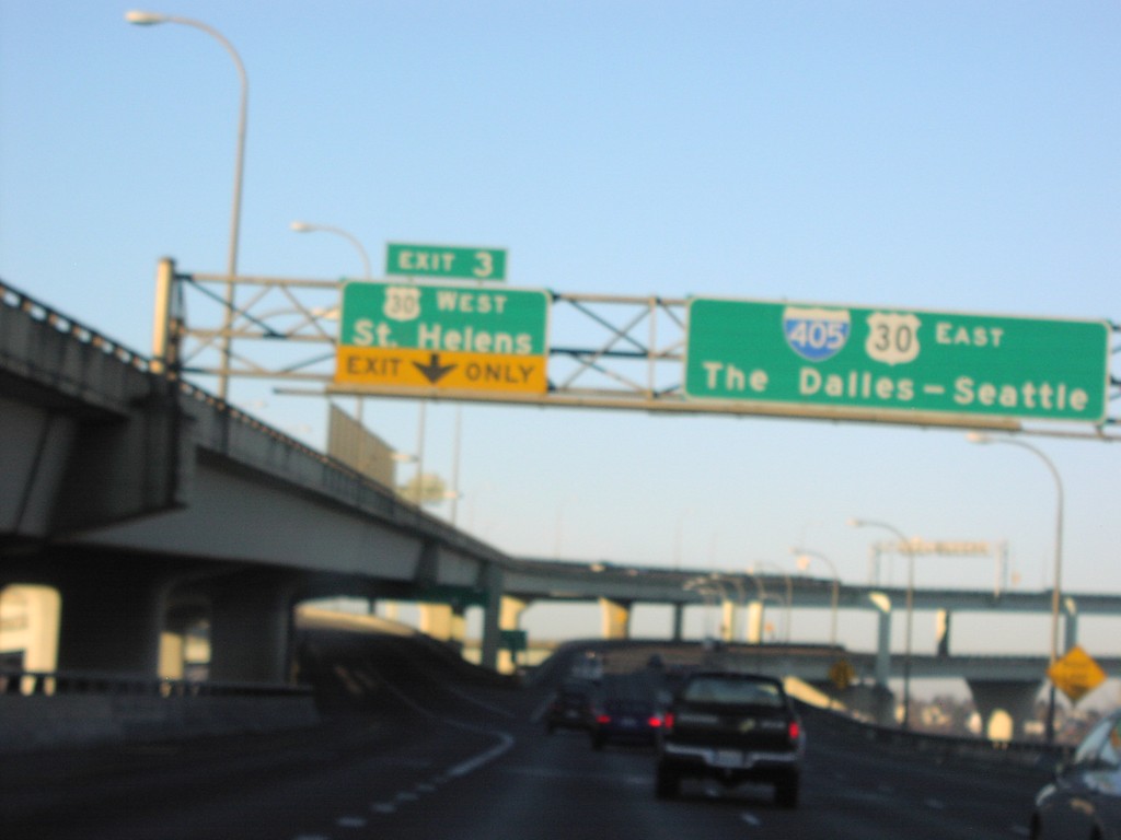
I-405 North Exit 3
I-405 north at Exit 3, US-30 West/St. Helens. I-405/US-30 East crosses the Willamette River here on the Fremont Bridge.
Taken 01-01-2007

 Portland
Multnomah County
Oregon
United States
Portland
Multnomah County
Oregon
United States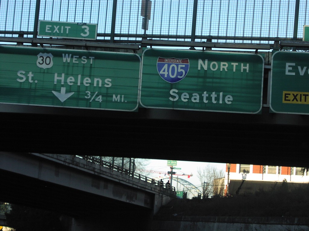
I-405 North Exit 3
I-405 north approaching Exit 3, US-30 West/St. Helens, 3/4 mile.
Taken 01-01-2007
Portland
Multnomah County
Oregon
United States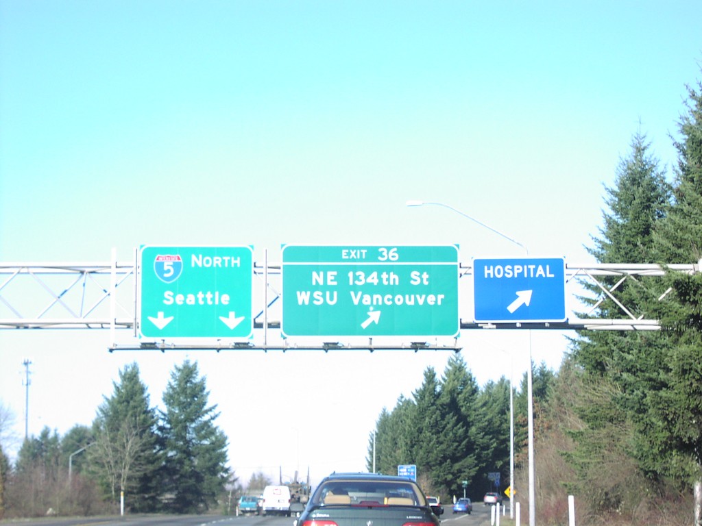
I-205 North Exit 36
I-205 north at Exit 36, NE 134th St/WSU Vancouver. I-205 joins I-5 north to Seattle shortly after this interchange.
Taken 01-01-2007

 Vancouver
Clark County
Washington
United States
Vancouver
Clark County
Washington
United States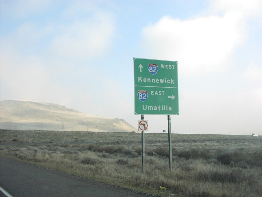
End WA-14 East at I-82
End WA-14 east at I-82 to Umatilla and Kennewick.
Taken 01-01-2007


 Plymouth
Benton County
Washington
United States
Plymouth
Benton County
Washington
United States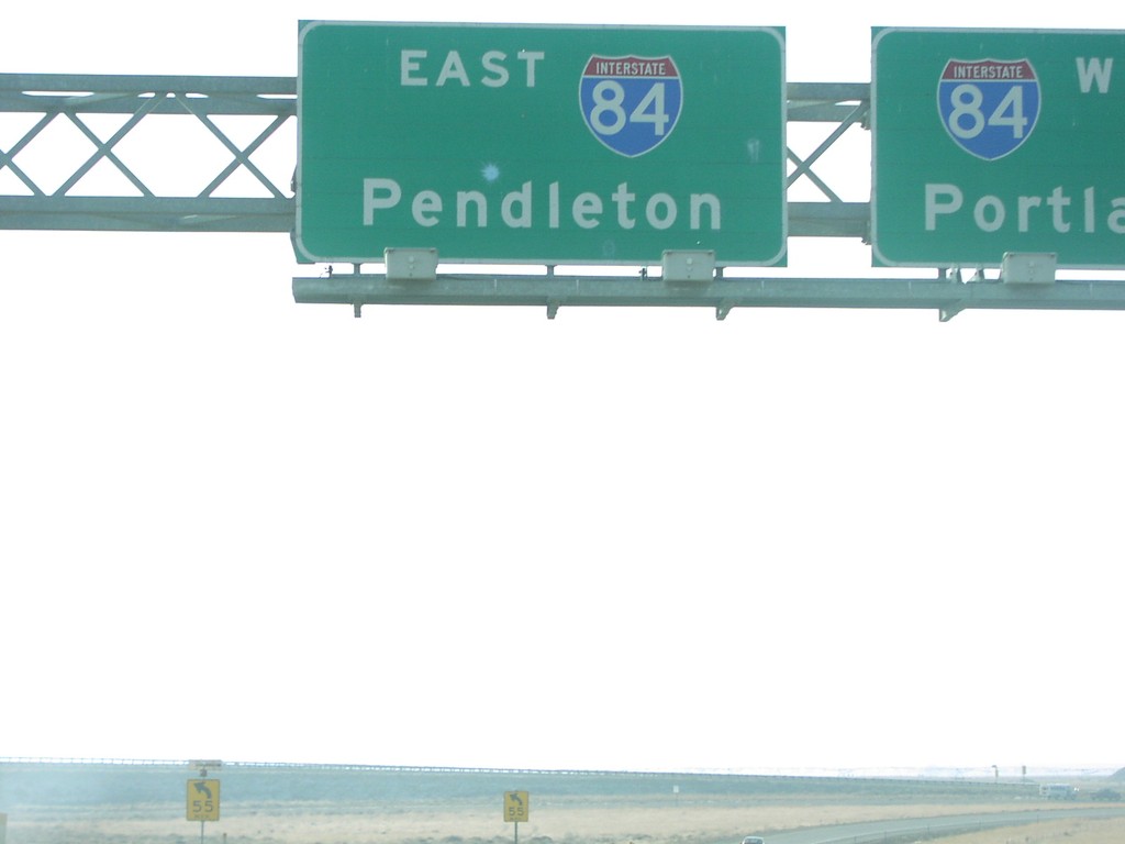
End I-82 East at I-84
End I-82 east at I-84 west to Portland; east to Pendleton.
Taken 01-01-2007
 Hermiston
Umatilla County
Oregon
United States
Hermiston
Umatilla County
Oregon
United States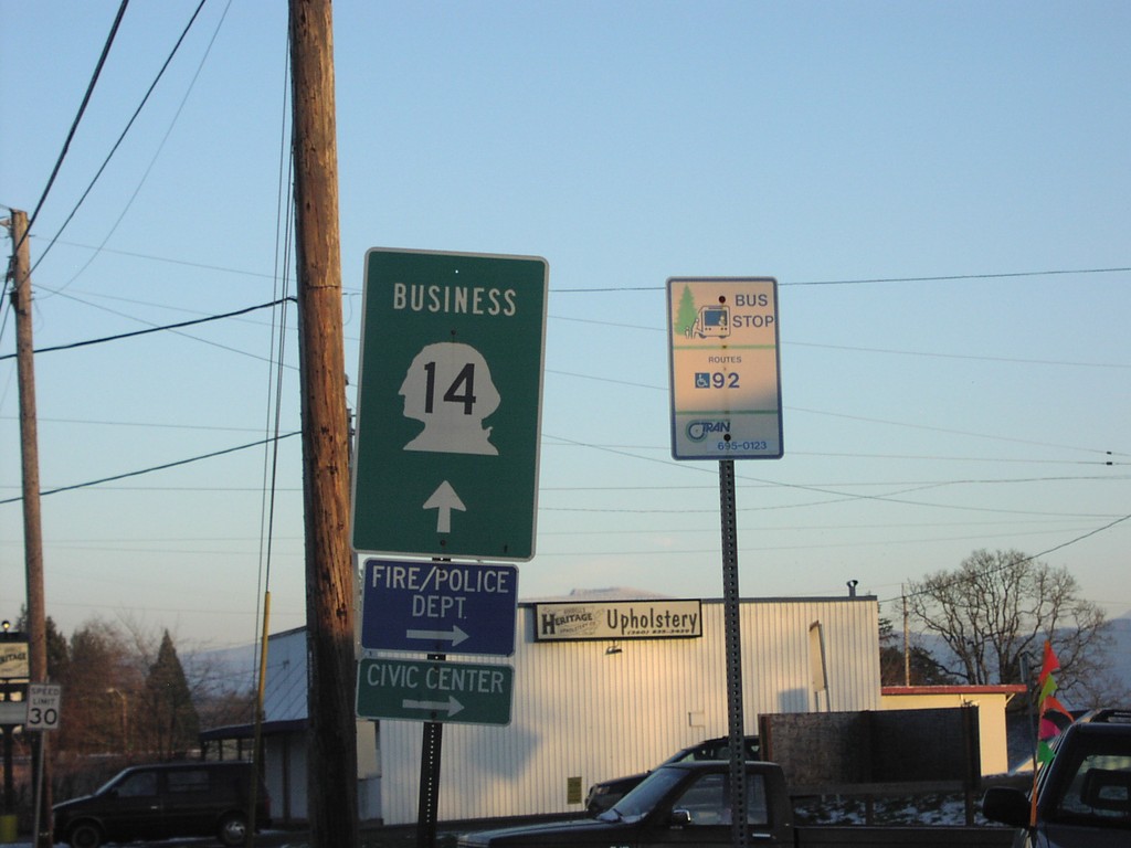
Bus. WA-14 East - Camas
Business WA-14 east.
Taken 01-01-2007
 Camas
Clark County
Washington
United States
Camas
Clark County
Washington
United States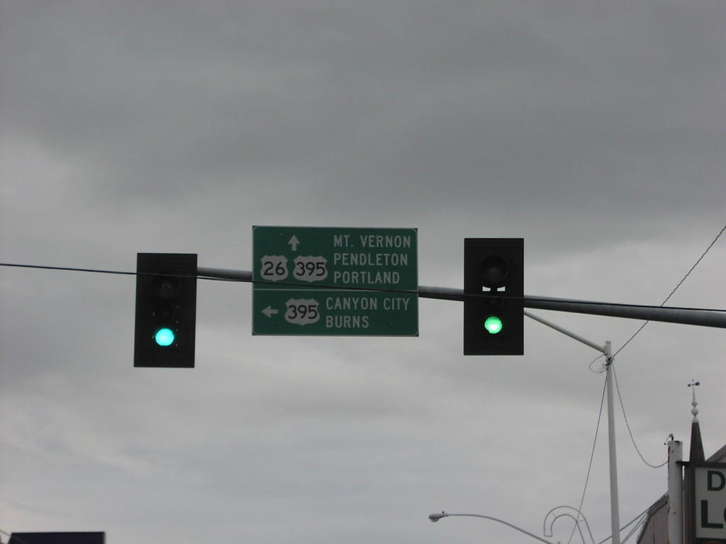
US-26 West at US-395 South
US-26 west at US-395 south to Canyon City and Burns. US-395 north joins US-26 west to Mt. Vernon.
Taken 12-01-2006
 John Day
Grant County
Oregon
United States
John Day
Grant County
Oregon
United States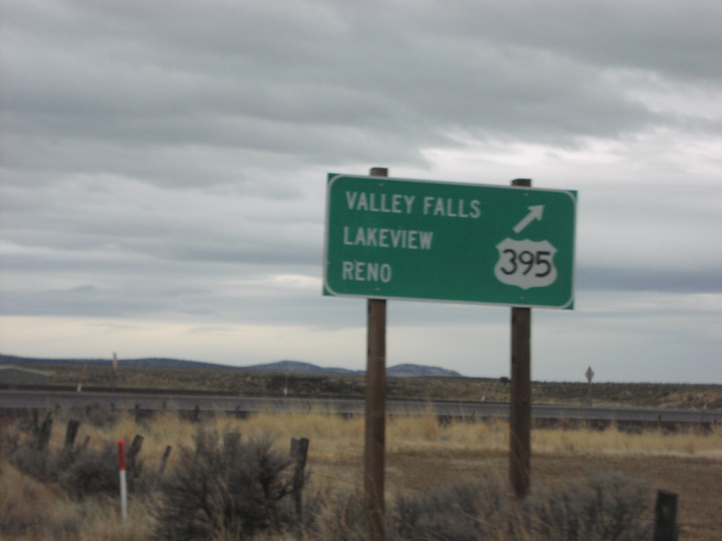
US-20 West at US-395 South
US-20 east at US-395 south to Valley Falls, Lakeview, and Reno.
Taken 12-01-2006
 Riley
Harney County
Oregon
United States
Riley
Harney County
Oregon
United States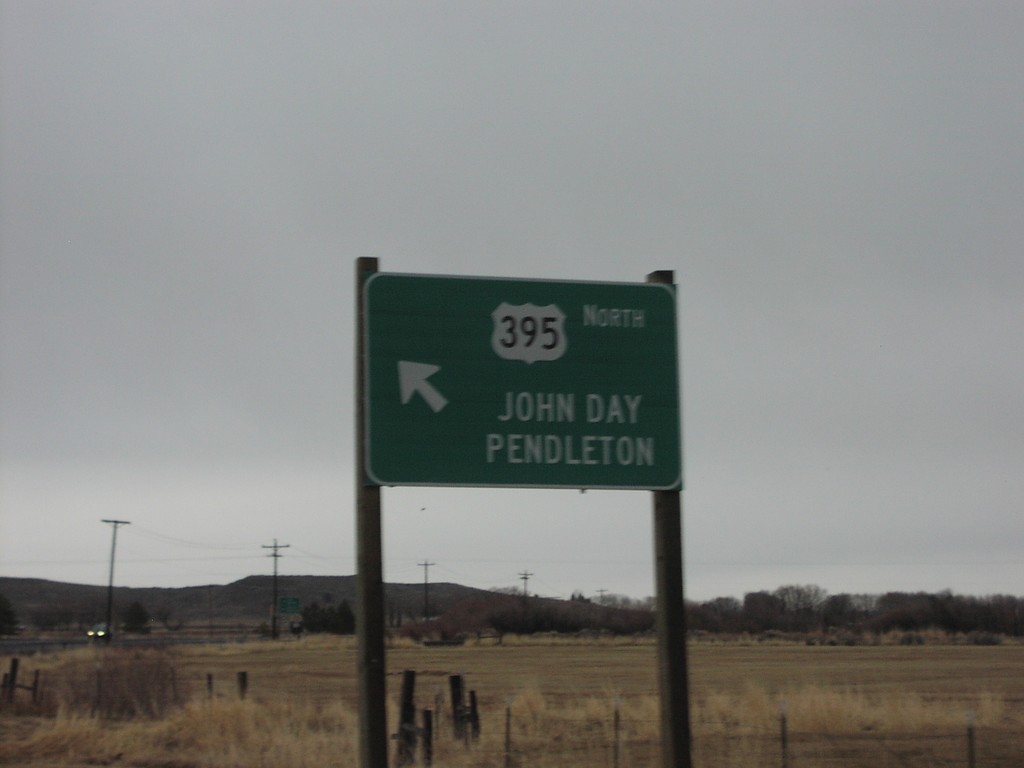
US-20 East at US-395 North
US-20 East/US-395 North at US-395 North to John Day and Pendleton.
Taken 12-01-2006
Burns
Harney County
Oregon
United States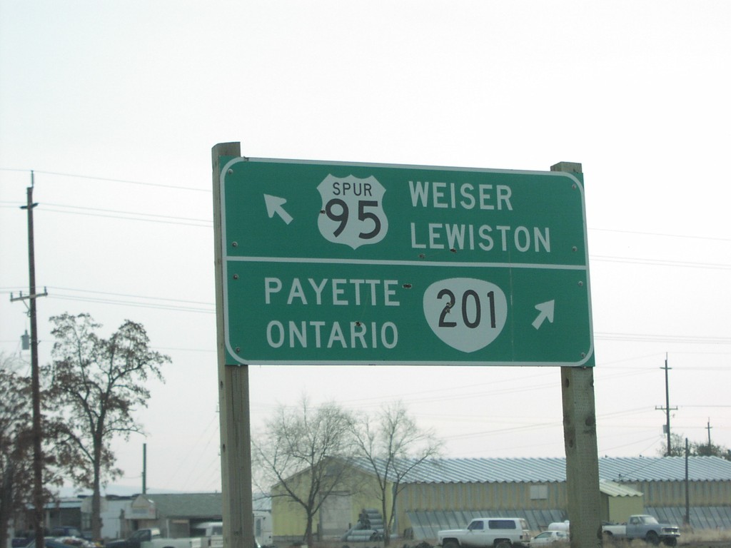
OR-201 South at US-95 Spur
OR-201 south at US-95 Spur north to Lewiston and Weiser.
Taken 12-01-2006

 Ontario
Malheur County
Oregon
United States
Ontario
Malheur County
Oregon
United States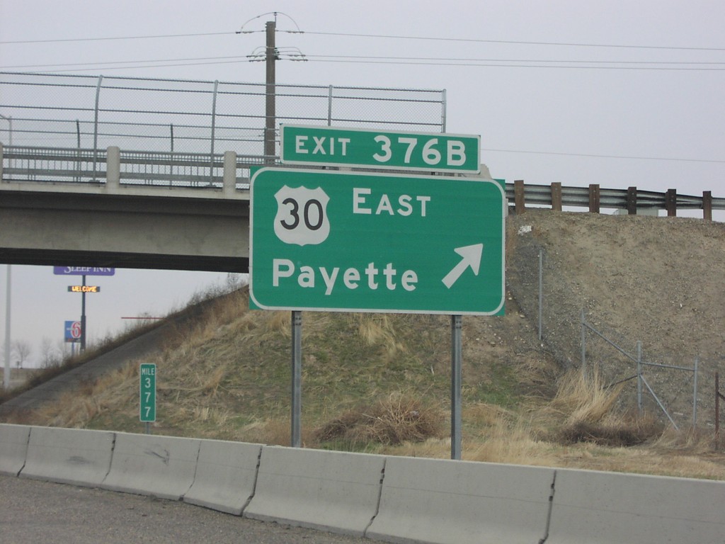
I-84 West Exit376B - First Oregon Exit
I-84 west at Exit 376B, US-30 East/Payette.
Taken 12-01-2006
Ontario
Malheur County
Oregon
United States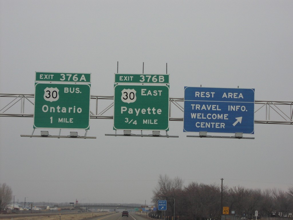
I-84 West Exit376AB
I-84 west at Oregon Welcome Center. Approaching Exit 376AB, US-30 east to Payette, and the Bus. US-30 to Ontario. First Oregon exit on westbound I-84.
Taken 12-01-2006
Ontario
Malheur County
Oregon
United States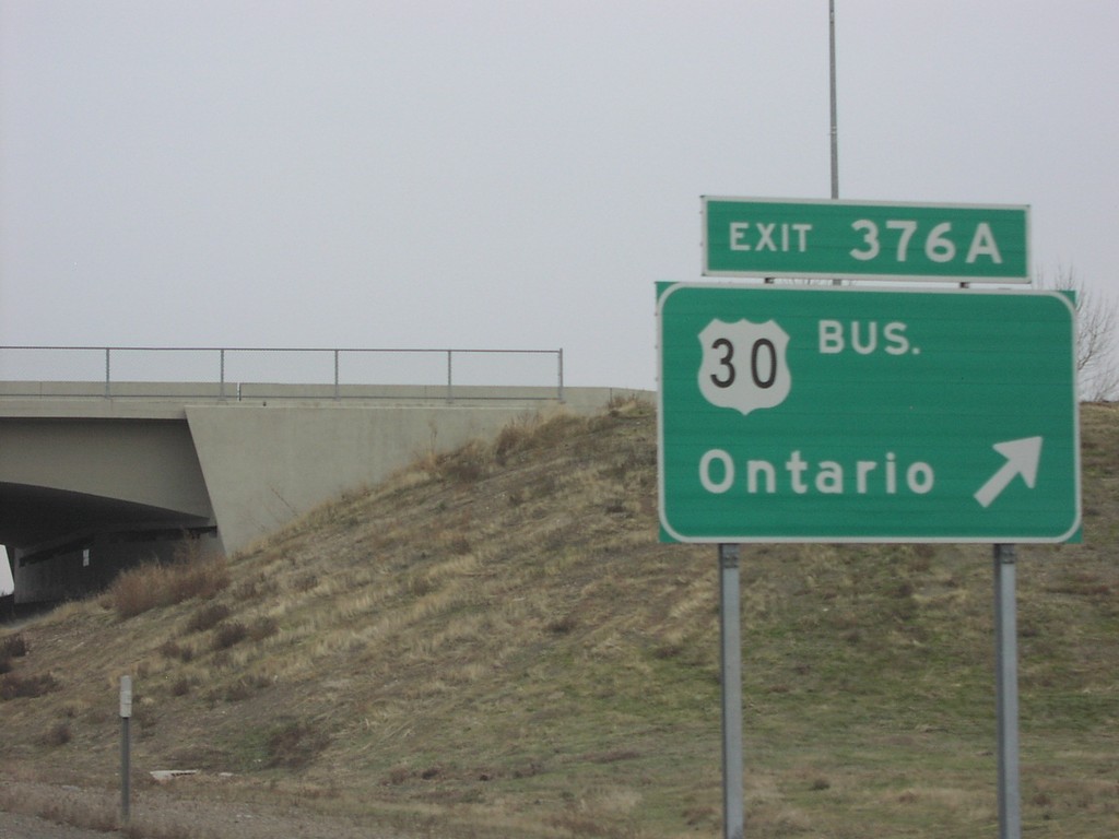
I-84 West Exit376A
I-84 west at Exit 376A, Bus. US-30/Ontario.
Taken 12-01-2006
Ontario
Malheur County
Oregon
United States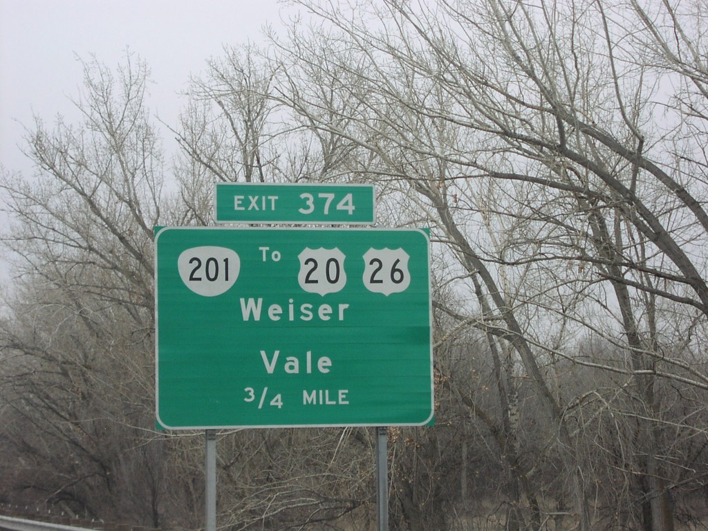
I-84 West Exit 374
I-84 west approaching Exit 374, OR-201/To US-20/To US-26/Weiser/Vale, 1 mile.
Taken 12-01-2006
Ontario
Malheur County
Oregon
United States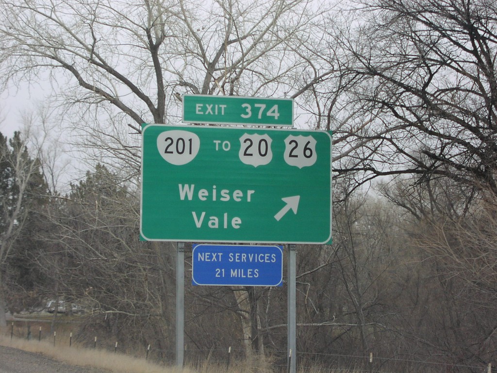
I-84 West Exit 374
I-84 west at Exit 374, OR-201/To US-20/To US-26/Weiser/Vale. Next services 21 miles, in Farewell Bend.
Taken 12-01-2006
Ontario
Malheur County
Oregon
United States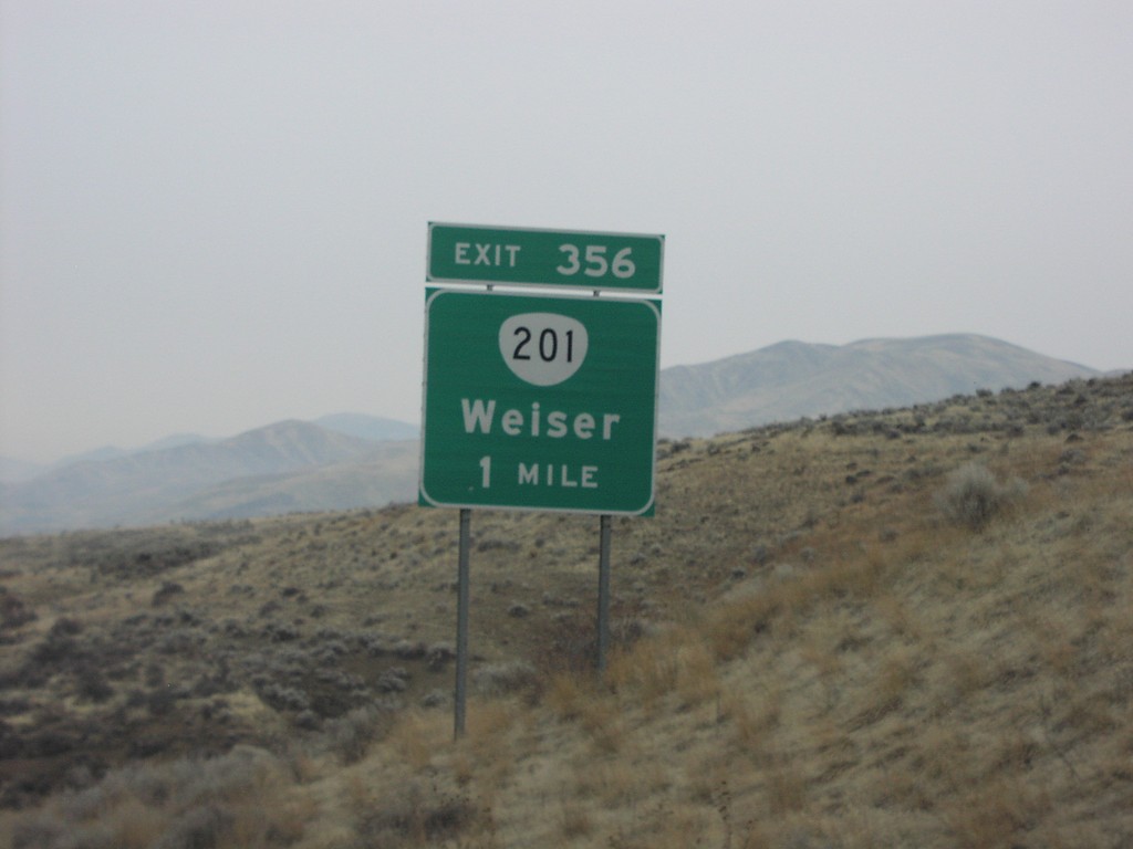
I-84 West Exit 356
I-84 west at Exit 356, OR-201/Weiser, 1 mile.
Taken 12-01-2006
Ontario
Malheur County
Oregon
United States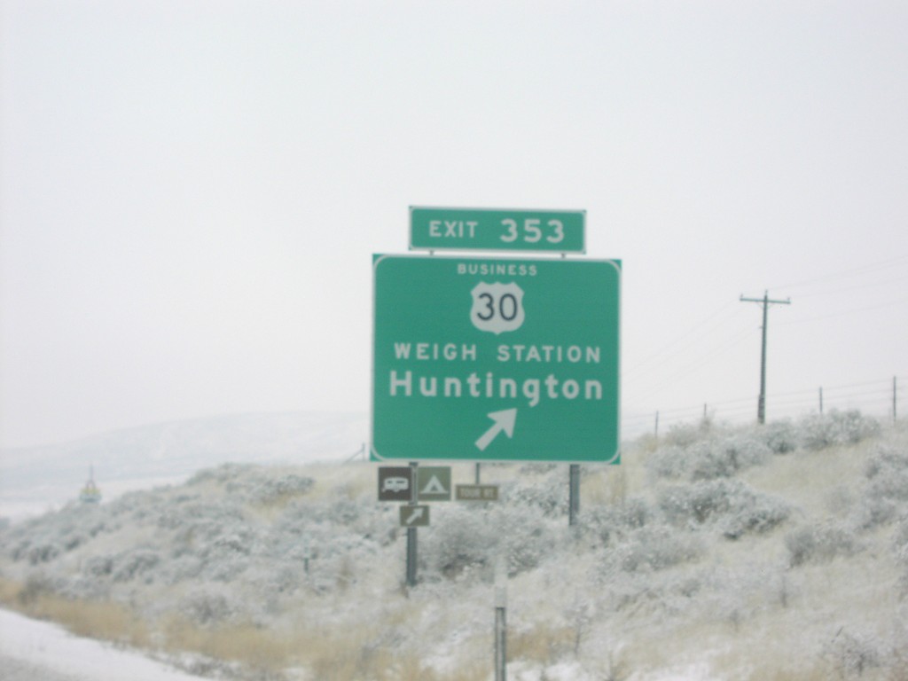
I-84 West Exit 353
I-84 west at Exit 353, Bus. US-30/Weigh Station/Huntington.
Taken 12-01-2006
Huntington
Baker County
Oregon
United States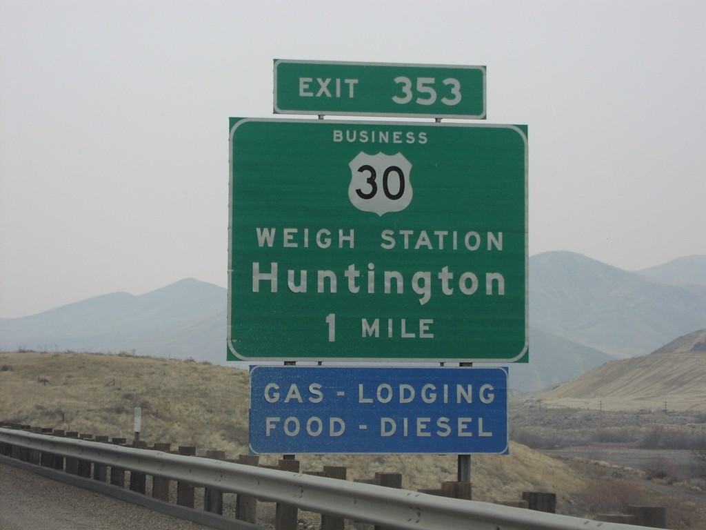
I-84 West Exit 353
I-84 west approaching Exit 353, Bus. US-30/Weigh Station/Huntington, 1 mile.
Taken 12-01-2006
Huntington
Malheur County
Oregon
United States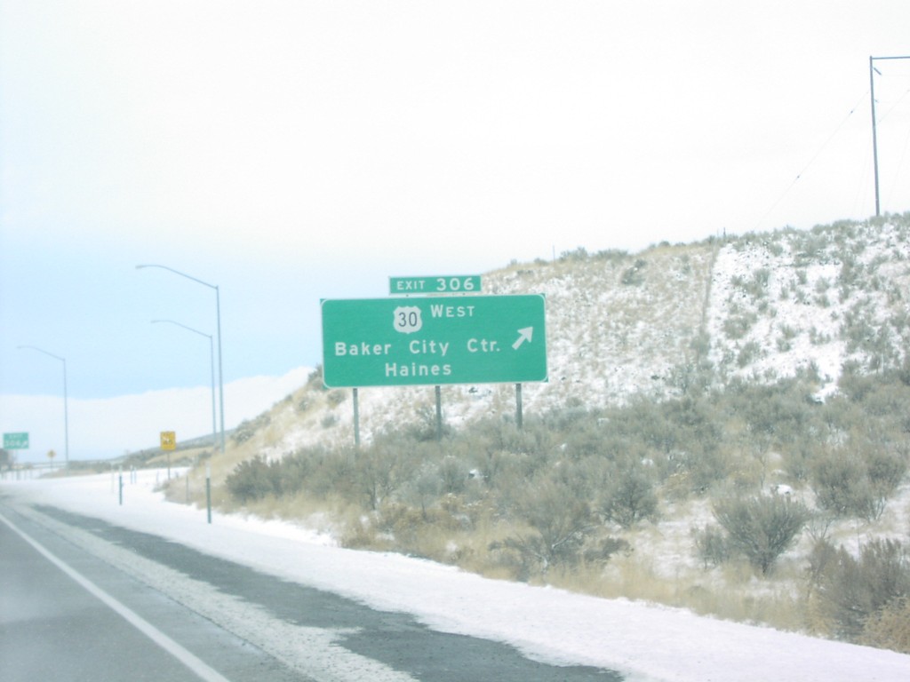
I-84 West Exit 306
I-84 west at Exit 306, US-30 West/Baker City/Haines.
Taken 12-01-2006
Baker City
Baker County
Oregon
United States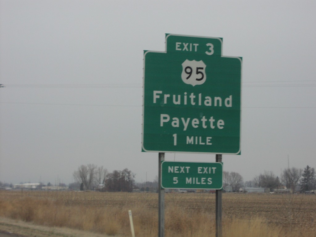
I-84 West Exit 3
I-84 west approaching Exit 3, US-95/Fruitland/Payette.
Taken 12-01-2006
 Palisades Corner
Payette County
Idaho
United States
Palisades Corner
Payette County
Idaho
United States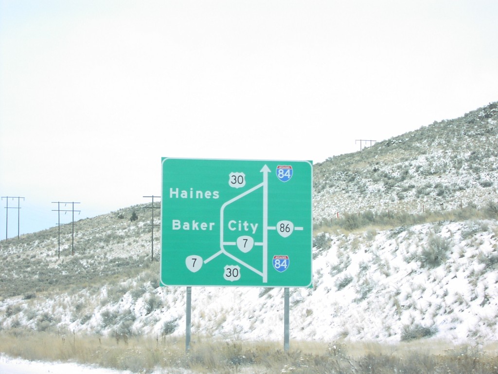
I-84 West - Baker City Route Map
Diagram of Baker City area routes on I-84 west, approaching eastern Baker City exit, #306.
Taken 12-01-2006

 Baker City
Baker County
Oregon
United States
Baker City
Baker County
Oregon
United States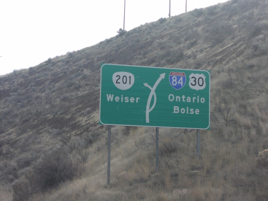
I-84 East Exit 356 Jct. Diagram
I-84 east approaching Exit 356, OR-201/Weiser. Route map of I-84/US-30, and OR-201.
Taken 12-01-2006
Weiser
Malheur County
Oregon
United States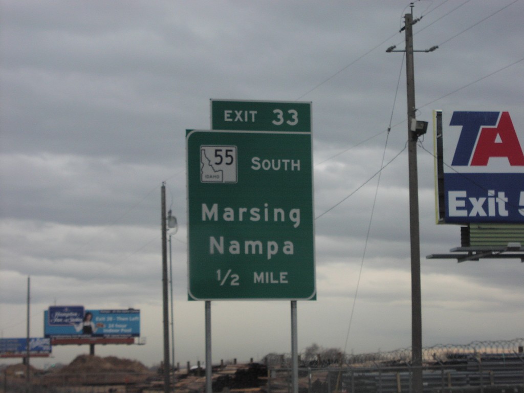
I-84 East Exit 33
I-84 east at newly opened Exit 33, ID-55 South/Nampa/Marsing.
Taken 12-01-2006
 Nampa
Canyon County
Idaho
United States
Nampa
Canyon County
Idaho
United States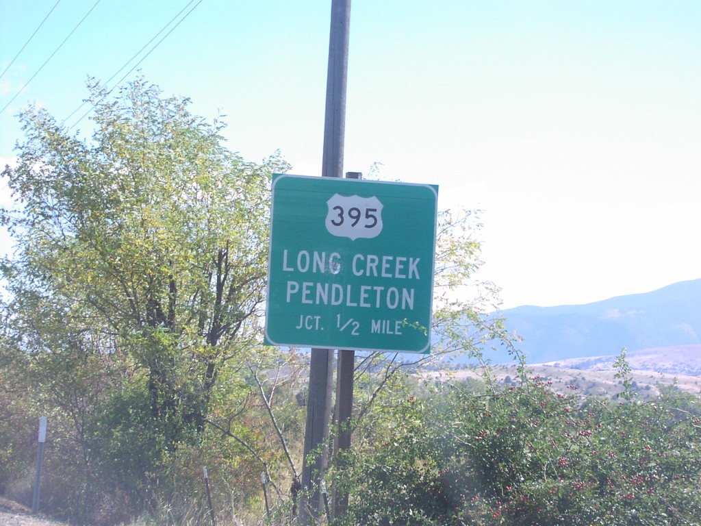
US-26 East approaching US-395 North
US-26 east approaching US-395 north to Long Creek and Pendleton, 1/2 mile.
Taken 10-01-2006
Mount Vernon
Grant County
Oregon
United States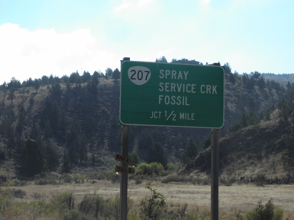
US-26 East approaching OR-207
US-26 approaching OR-207 north to Spray, Service Creek, and Fossil, 1/2 mile.
Taken 10-01-2006
 Mitchell
Wheeler County
Oregon
United States
Mitchell
Wheeler County
Oregon
United States