Signs Tagged With Shield Inside Sign
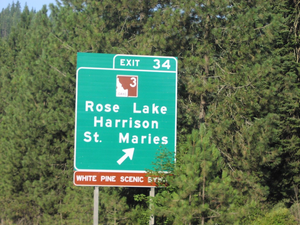
I-90 West Exit 34
I-90 west at Exit 34, ID-3/Rose Lake/St. Maries/Harrison.
Taken 07-01-2006

 Cataldo
Kootenai County
Idaho
United States
Cataldo
Kootenai County
Idaho
United States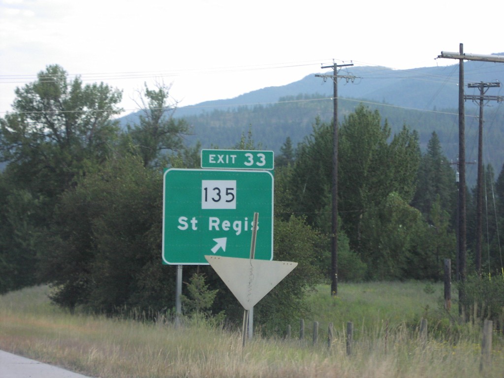
I-90 West Exit 33
I-90 west at Exit 33, MT-135/St. Regis.
Taken 07-01-2006
 Saint Regis
Mineral County
Montana
United States
Saint Regis
Mineral County
Montana
United States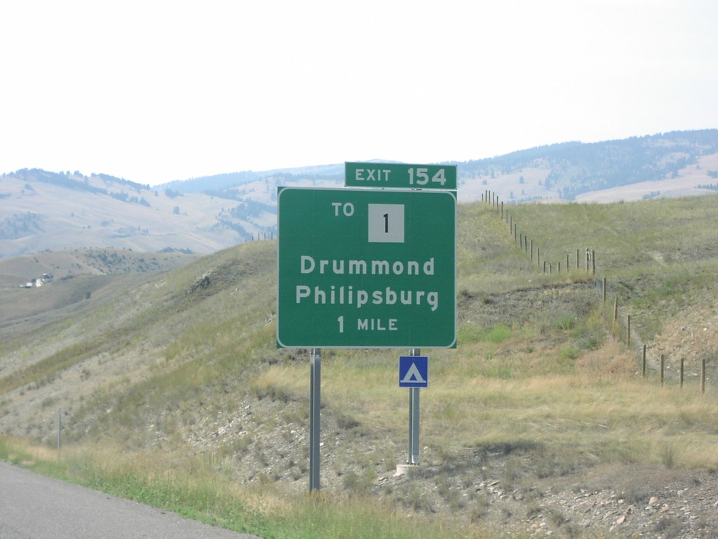
I-90 West Exit 154
I-90 west approaching Exit 154, To MT-1/Drummond/Phillipsburg, 1 mile.
Taken 07-01-2006

 Drummond
Granite County
Montana
United States
Drummond
Granite County
Montana
United States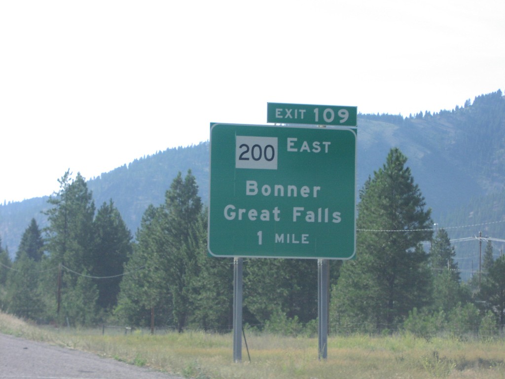
I-90 West Exit 109
I-90 west approaching Exit 109, MT-200 East/Bonner/Great Falls. MT-200 follows I-90 west through Missoula.
Taken 07-01-2006
 Missoula
 County
Montana
United States
Missoula
Missoula County
Montana
United States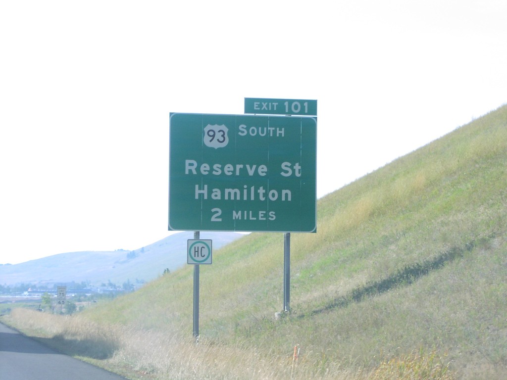
I-90 West Exit 101
I-90 west approaching Exit 101, US-93 South/Hamilton/Reserve St, 2 miles. US-93 joins I-90 west through Missoula.
Taken 07-01-2006
 Missoula
 County
Montana
United States
Missoula
Missoula County
Montana
United States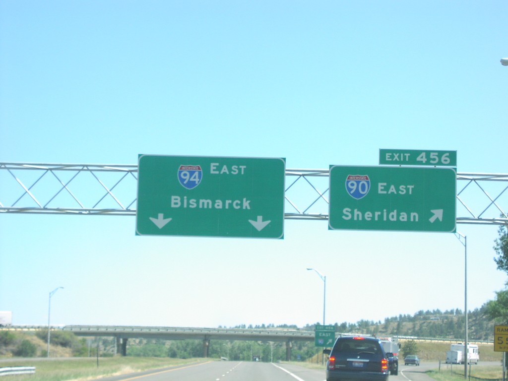
I-90 East Exit 456
I-90 east at Exit 456, I-94 East/Bismarck. I-94 continues east on same roadway, I-90 takes a right exit.
Taken 07-01-2006
Billings
Yellowstone County
Montana
United States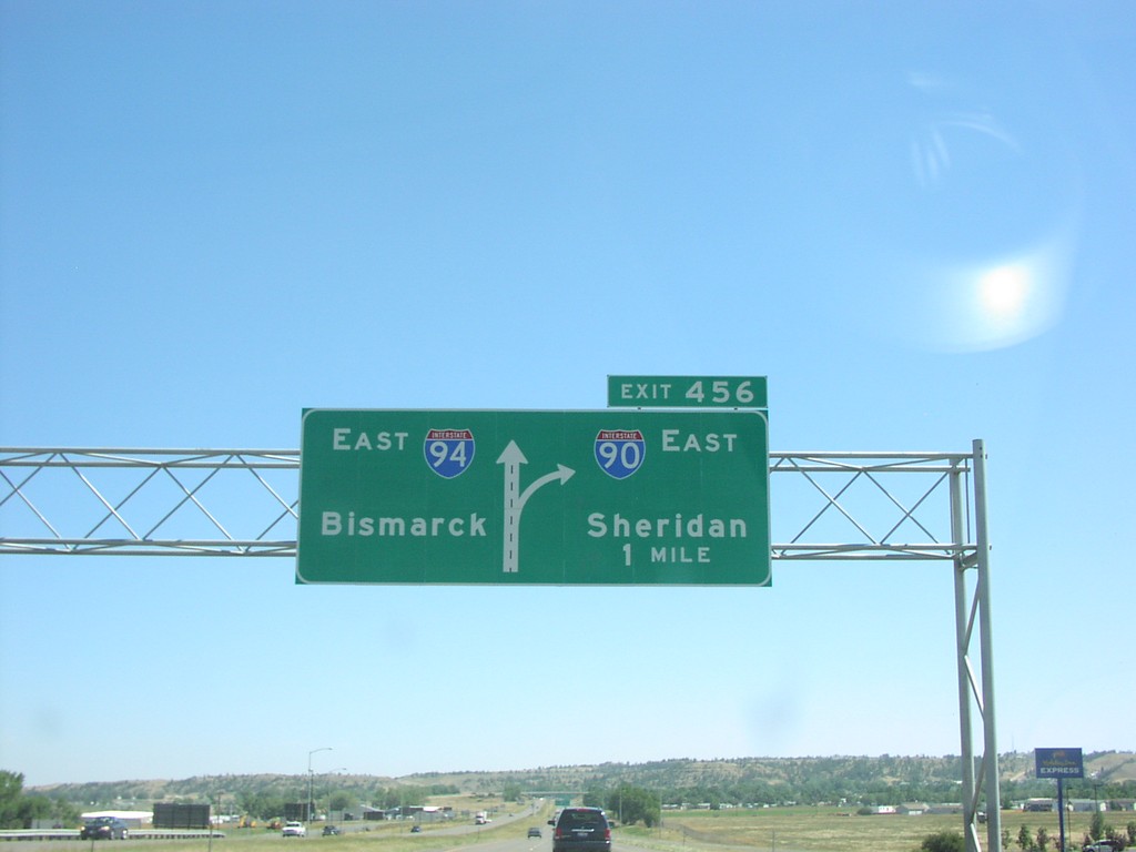
I-90 East Exit 456
I-90 east to Sheridan approaching Exit456, I-94 East/Bismarck, 1 mile.
Taken 07-01-2006
Billings
Yellowstone County
Montana
United States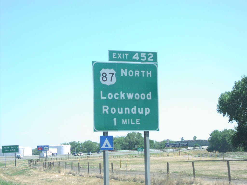
I-90 East Exit 452
I-90 east approaching Exit 452, US-87 North/Roundup/Lockwood, 1 mile.
Taken 07-01-2006
Billings
Yellowstone County
Montana
United States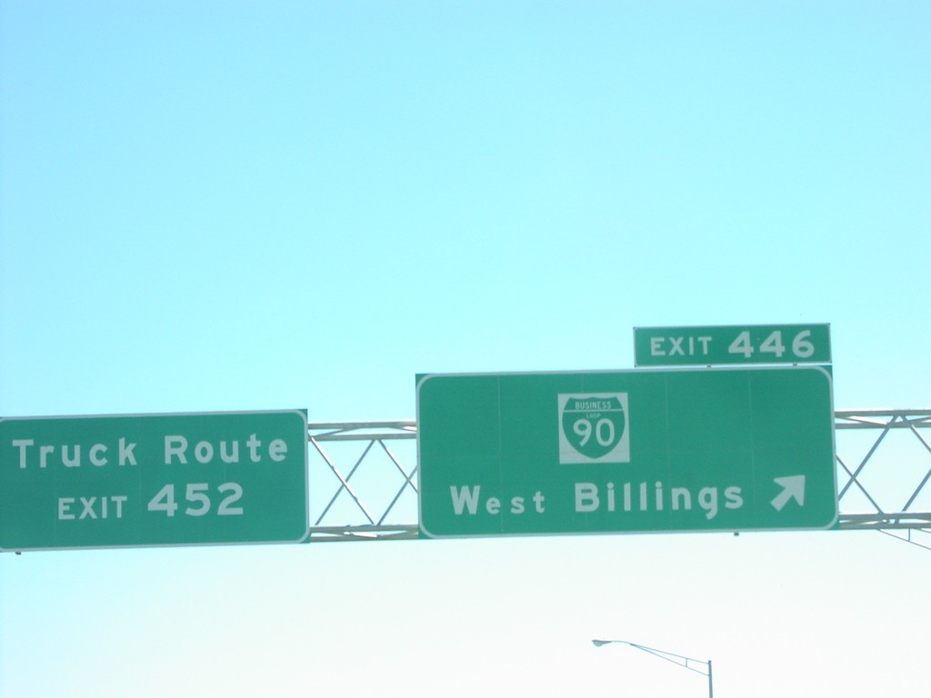
I-90 East Exit 446
I-90 east at Exit 446, BL-90/West Billings.
Taken 07-01-2006
Billings
Yellowstone County
Montana
United States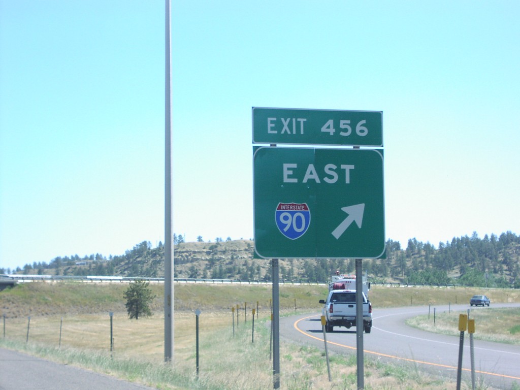
I-90 East at I-94
Exit 456 gore sign at I-90 East/I-94 junction.
Taken 07-01-2006
Billings
Yellowstone County
Montana
United States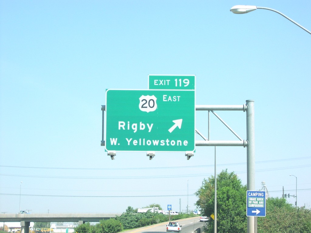
I-15 North Exit 119
I-15/US-20 north at Exit 119, US-20 East/Rigby/W. Yellowstone(MT).
Taken 07-01-2006

 Idaho Falls
Bonneville County
Idaho
United States
Idaho Falls
Bonneville County
Idaho
United States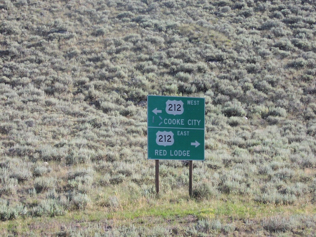
End WY-296 at US-212
End WY-296 at US-212 to Cooke City and Red Lodge.
Taken 07-01-2006

 Cody
Park County
Wyoming
United States
Cody
Park County
Wyoming
United States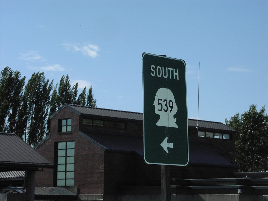
WA-539 South - Leaving US Customs
WA-539 south leaving the US Customs facility.
Taken 06-01-2006
 Lynden
Whatcom County
Washington
United States
Lynden
Whatcom County
Washington
United States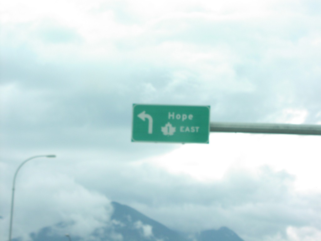
Vedder Road South at TC-1 East
Vedder Road south at TC-1 east to Hope, closeup.
Taken 06-01-2006
 Chilliwack
Fraser Valley
British Columbia
Canada
Chilliwack
Fraser Valley
British Columbia
Canada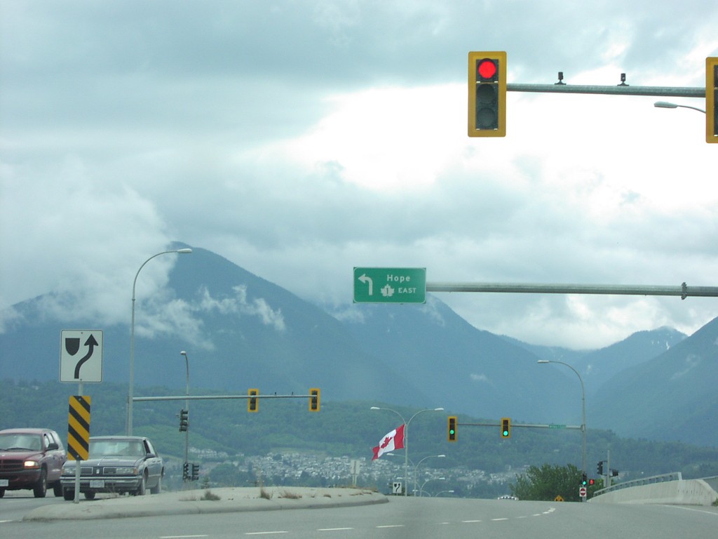
Vedder Road South at TC-1 East
Vedder Road south at TC-1 east to Hope.
Taken 06-01-2006
Chilliwack
Fraser Valley
British Columbia
Canada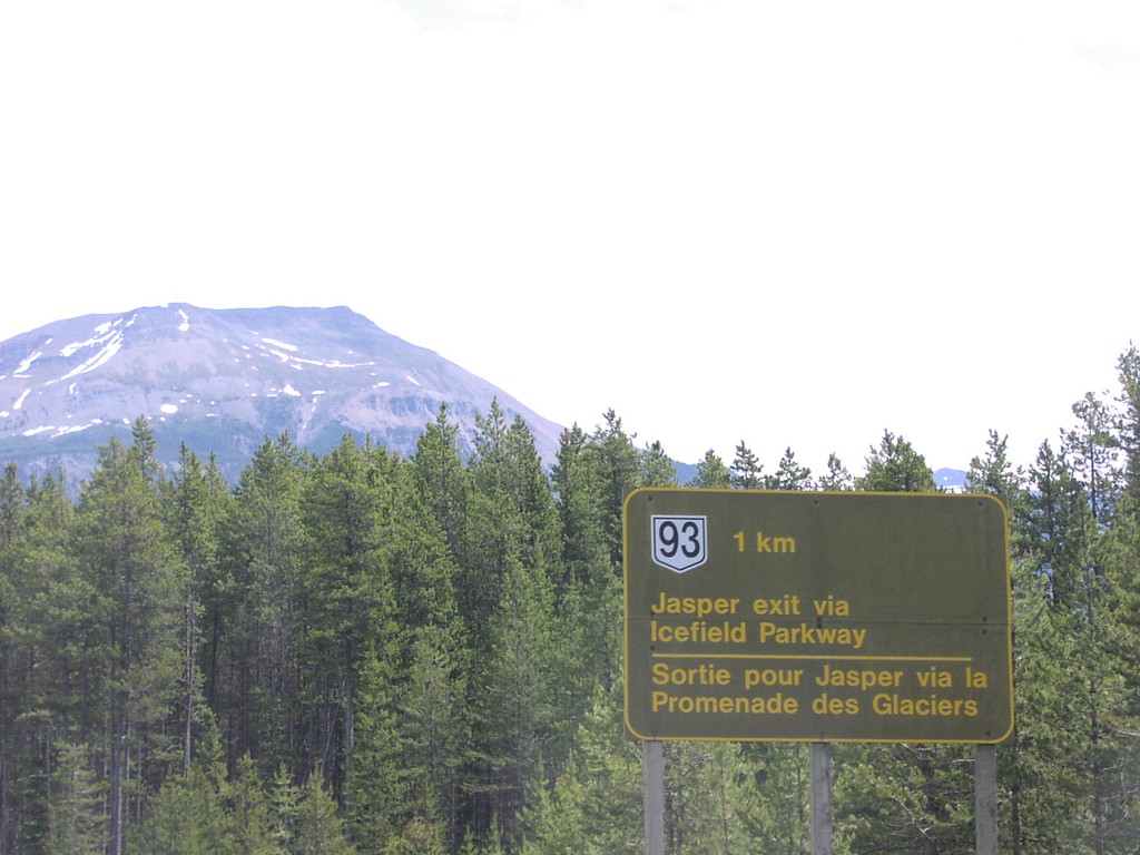
TC1-E AB-93 North Jct.
TC-1 east at AB-93, Icefields Parkway to Jasper.
Taken 06-01-2006
 Lake Louise
Improvement District No. 9
Alberta
Canada
Lake Louise
Improvement District No. 9
Alberta
Canada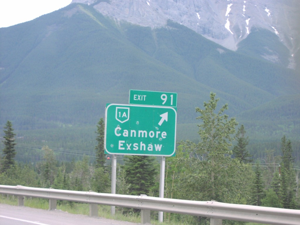
TC1 East Exit 91
TC-1 east at Exit 91, AB-1A/Canmore/Exshaw.
Taken 06-01-2006
 Canmore
Bighorn No. 8
Alberta
Canada
Canmore
Bighorn No. 8
Alberta
Canada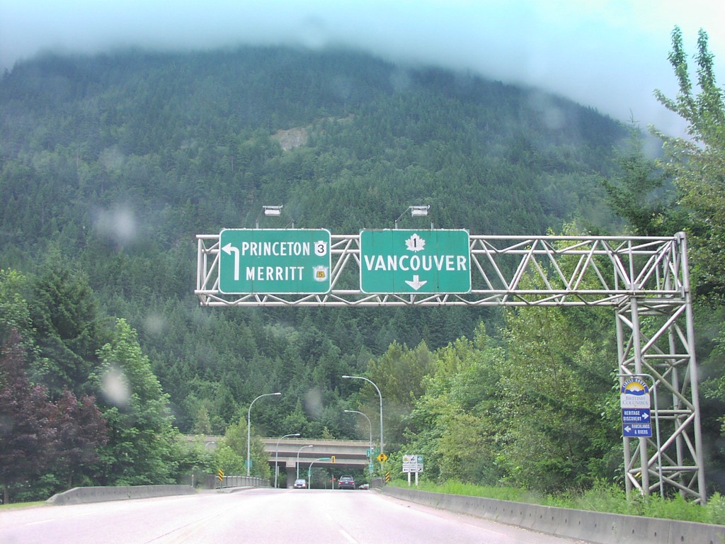
TC-1 West at BC-3/BC-5 Jct.
TC-1 west at TC-1 to Vancouver, and BC-3/BC-5 to Merritt/Princeton.
Taken 06-01-2006

 Hope
Fraser Valley
British Columbia
Canada
Hope
Fraser Valley
British Columbia
Canada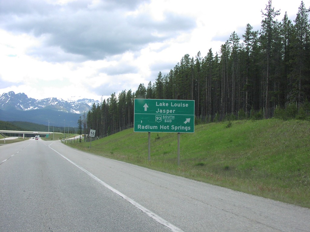
TC-1 West at AB-93 South Exit
TC-1 west to Lake Louise/Jasper at AB-93 junction south to Radium Hot Springs.
Taken 06-01-2006
Improvement District No. 9
Alberta
Canada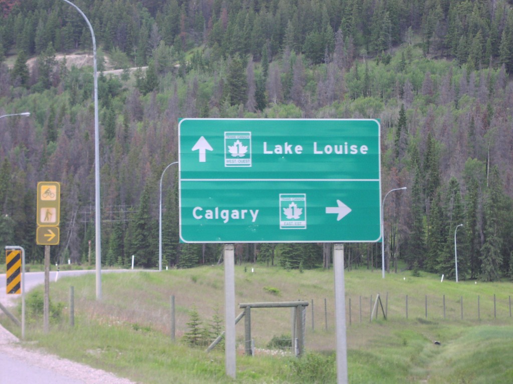
TC-1 Onramp West Banff IC
TC-1 freeway entrance to Lake Louise and Calgary, at the western Banff interchange.
Taken 06-01-2006
Banff
Improvement District No. 9
Alberta
Canada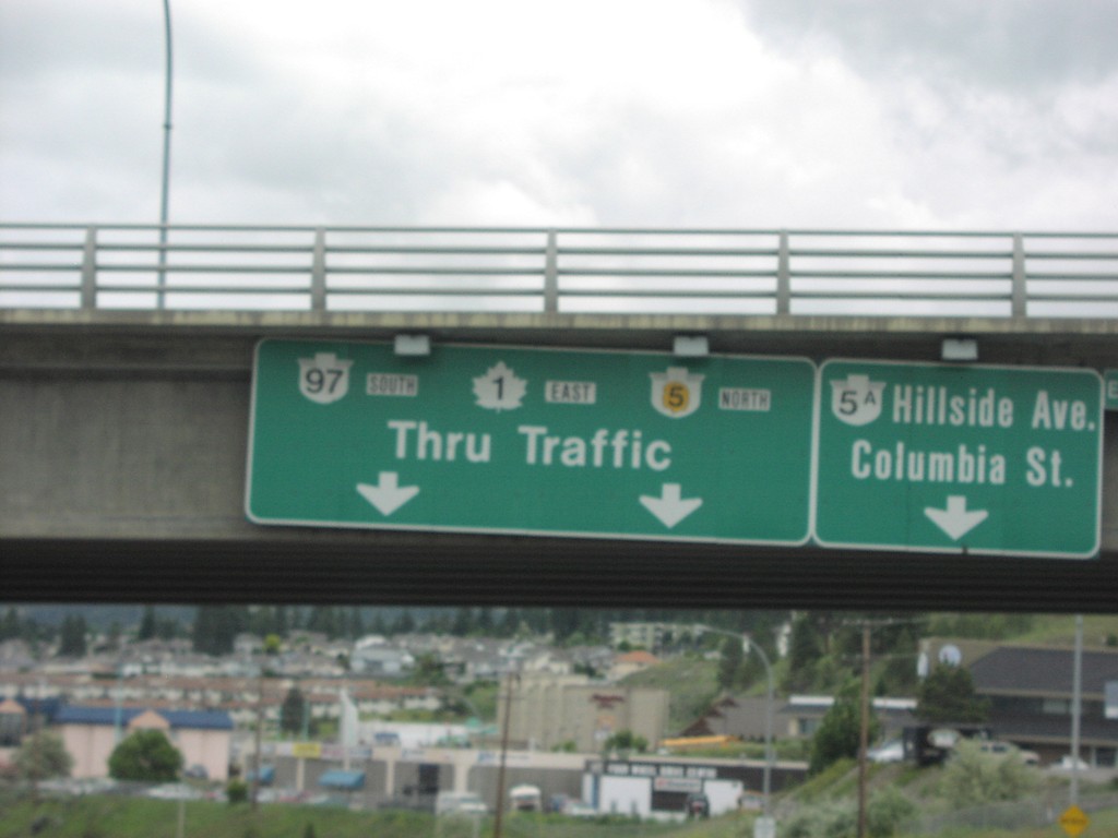
TC-1 East/BC-5 North Kamloops
TC-1 east BC-5A/Hillside Ave/Columbia Street (Exit 368), and TC-1/BC-97/BC-5 Thru Traffic overhead.
Taken 06-01-2006

 Kamloops
Thompson-Nicola
British Columbia
Canada
Kamloops
Thompson-Nicola
British Columbia
Canada

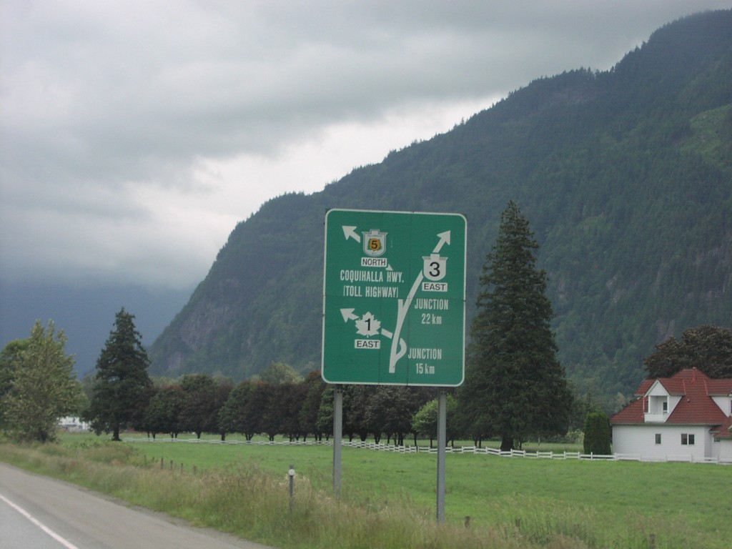
TC-1 East Route Diagram
Hope area route diagram for TC-1, BC-3, and BC-5.
Taken 06-01-2006
Hope
Fraser Valley
British Columbia
Canada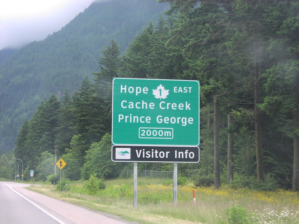
TC-1 East Nearing Exit 170
TC-1 east approaching Exit 170, TC-1 East/Hope/Prince George/Cache Creek, 2000 metres.
Taken 06-01-2006
Hope
Fraser Valley
British Columbia
Canada