Signs Tagged With Shield Inside Sign
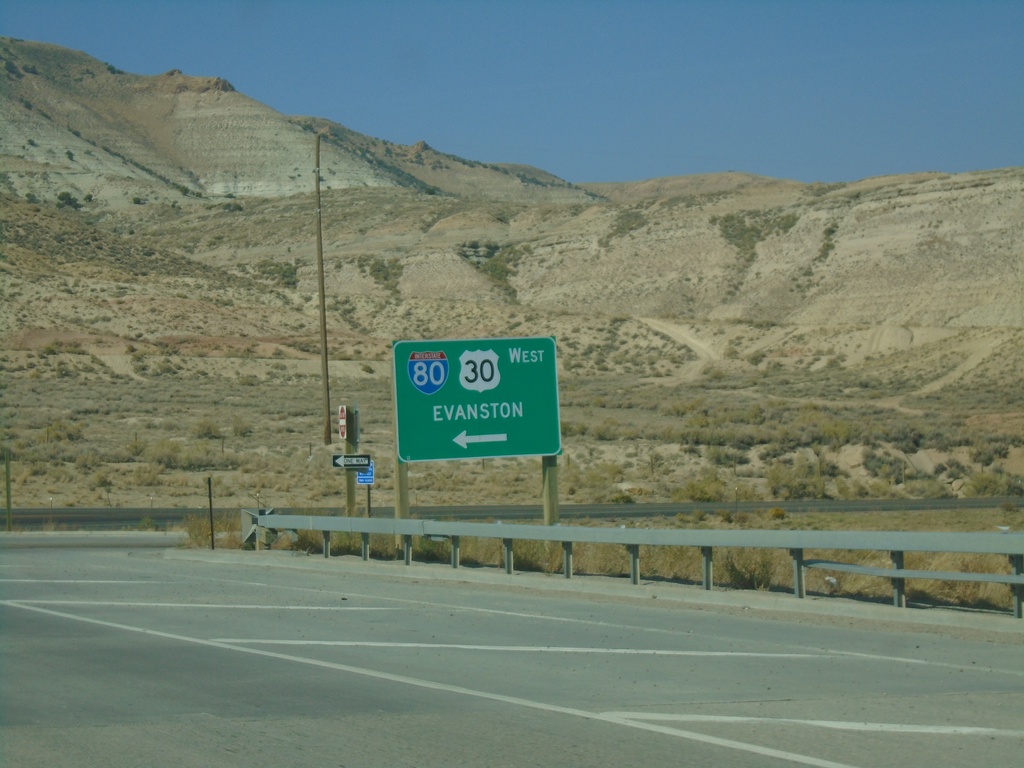
US-191 North at I-80/US-30 West
US-191 North at I-80/US-30 West (Exit 99) to Evanston.
Taken 10-03-2020


 Purple Sage
Sweetwater County
Wyoming
United States
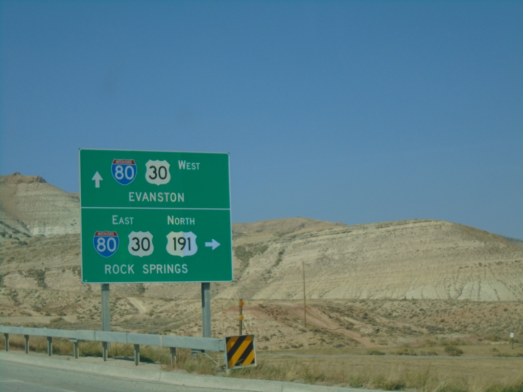
US-191 North at I-80/US-30
US-191 North at I-80/US-30 (Exit 99) in Sweetwater County. Turn right for I-80/US-30 East/US-191 North to Rock Springs. Continue over freeway for I-80/US-30 West to Evanston. US-191 north joins I-80 east to Rock Springs.
Taken 10-03-2020


 Rock Springs
Sweetwater County
Wyoming
United States
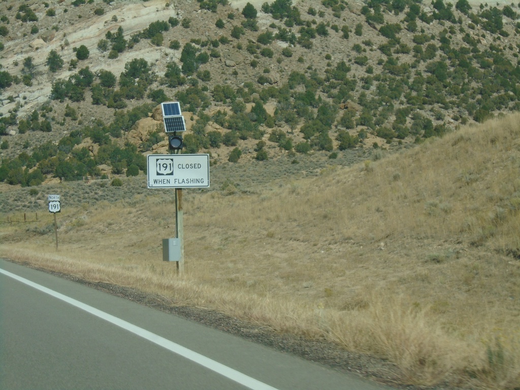
US-191 North - Closed When Flashing
US-191 North - Closed When Flashing due to winter weather.
Taken 10-03-2020
 Rock Springs
Sweetwater County
Wyoming
United States
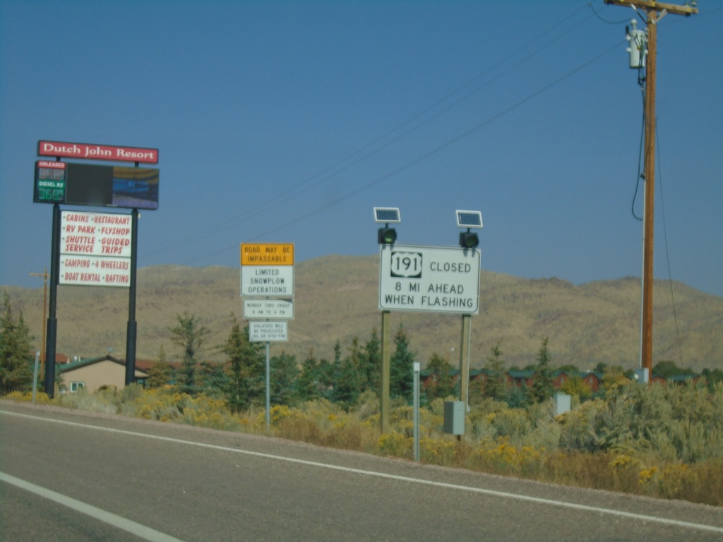
US-191 North - Winter Driving Information
Winter Driving information for US-191 north in Wyoming - 8 miles ahead.
Taken 10-03-2020
 Dutch John
Daggett County
Utah
United States
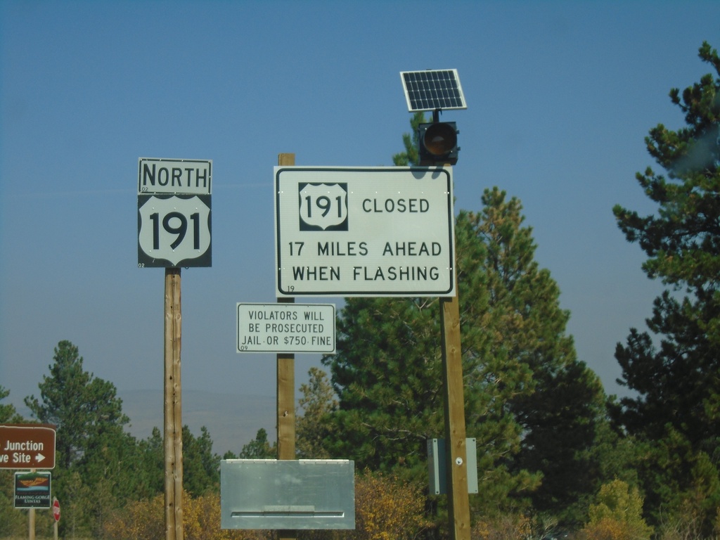
US-191 North - Daggett County
US-191 north in Daggett County. Winter closure sign for US-191 in Wyoming - 17 miles ahead. The winter closure sign appears to have been placed by the Wyoming DOT.
Taken 10-03-2020
 Dutch John
Daggett County
Utah
United States
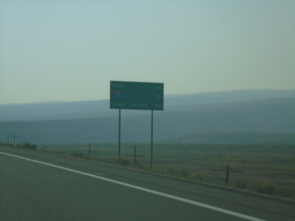
US-6 East - Distance Marker
Distance marker on US-6 east. Distance to Price, I-70 Junction, and Grand Junction (Colorado).
Taken 10-03-2020

 Colton
Utah County
Utah
United States
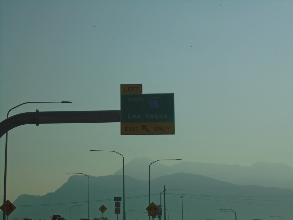
End UT-194 East at I-15
End UT-194 East at I-15 south to Las Vegas (Nevada). West 2100 North continues into Lehi.
Taken 10-03-2020


 Lehi
Utah County
Utah
United States
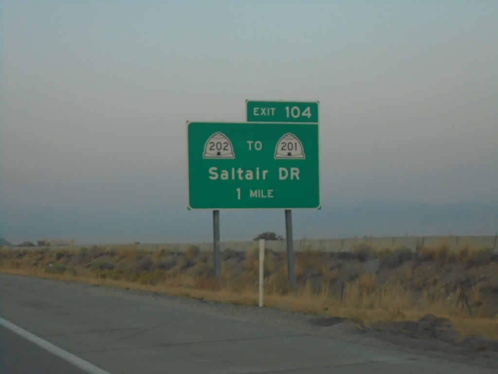
I-80 West - Exit 104
I-80 West approaching Exit 104 - UT-202/To UT-201/Saltair Drive.
Taken 10-03-2020


 Salt Lake City
Salt Lake County
Utah
United States
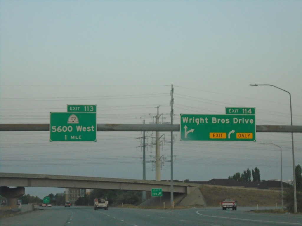
I-80 West - Exits 114 and 113
I-80 West at Exit 114 - Wright Brothers Drive and approaching Exit 113 - UT-172/5600 West.
Taken 10-03-2020

 Salt Lake City
Salt Lake County
Utah
United States
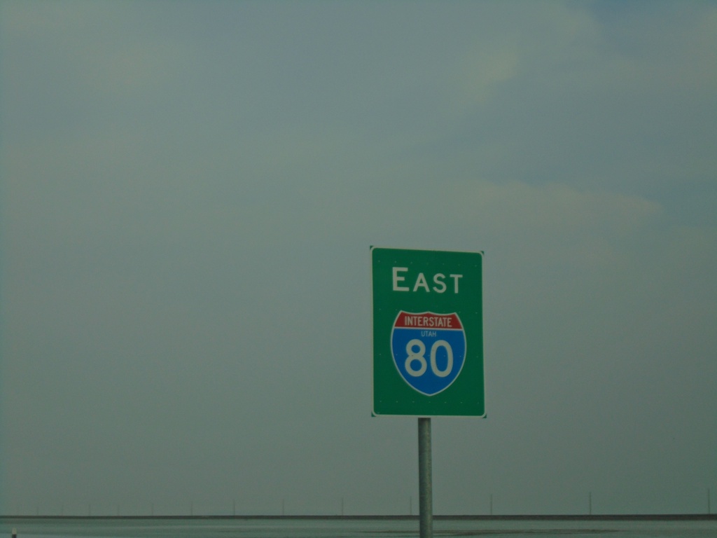
I-80 East - Tooele County
I-80 east in Tooele County, just east of the Bonneville Speedway interchange.
Taken 10-02-2020
 Wendover
Tooele County
Utah
United States
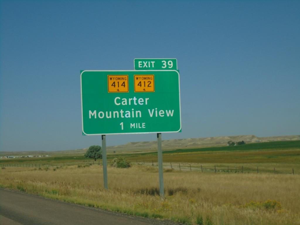
I-80 West - Exit 39
I-80 west approaching Exit 39 - WY-412/WY-414/Carter/Mountain View. The Wyoming shields on the interchange sign contain the bucking cowboy. Most Wyoming state highway shields on guide signs omit the cowboy.
Taken 08-15-2020


 Lyman
Uinta County
Wyoming
United States
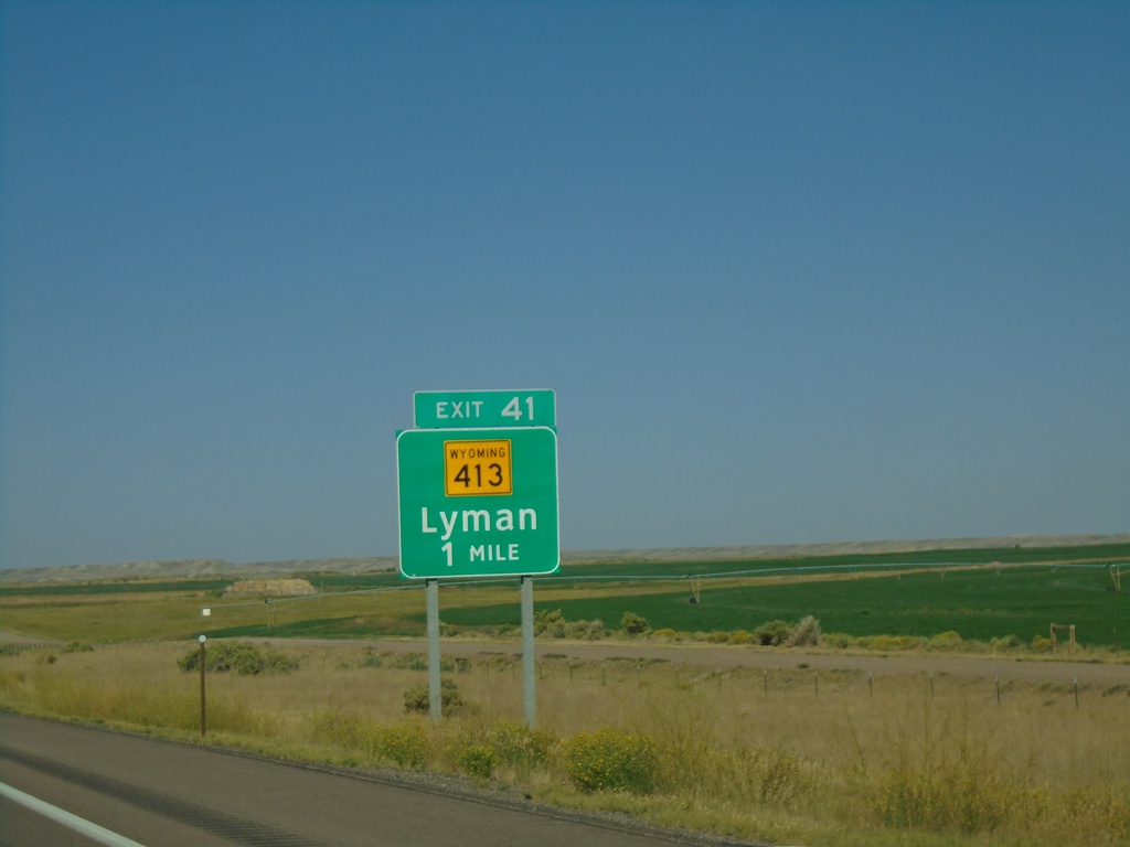
I-80 West - Exit 41
I-80 west approaching Exit 41 - WY-413/Lyman.
Taken 08-15-2020

 Lyman
Uinta County
Wyoming
United States
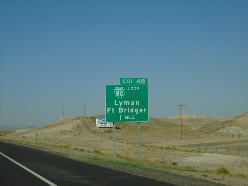
I-80 West - Exit 48
I-80 west approaching Exit 48 - BL-80/Lyman/Fort Bridger. This is the eastern end of the Bridger Valley business loop. BL-80 goes through Lyman and Fort Bridger.
Taken 08-15-2020

 Lyman
Uinta County
Wyoming
United States
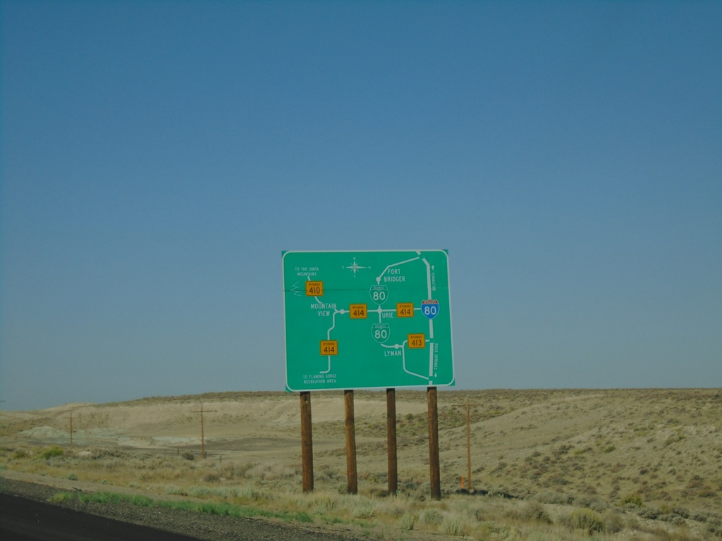
I-80 West - Bridger Valley Route Diagram
Bridger Valley route diagram on I-80 west. This sign is posted on I-80 on both entrances to the Bridger Valley on I-80, as well as at a truck parking area.
Taken 08-15-2020
 Lyman
Uinta County
Wyoming
United States
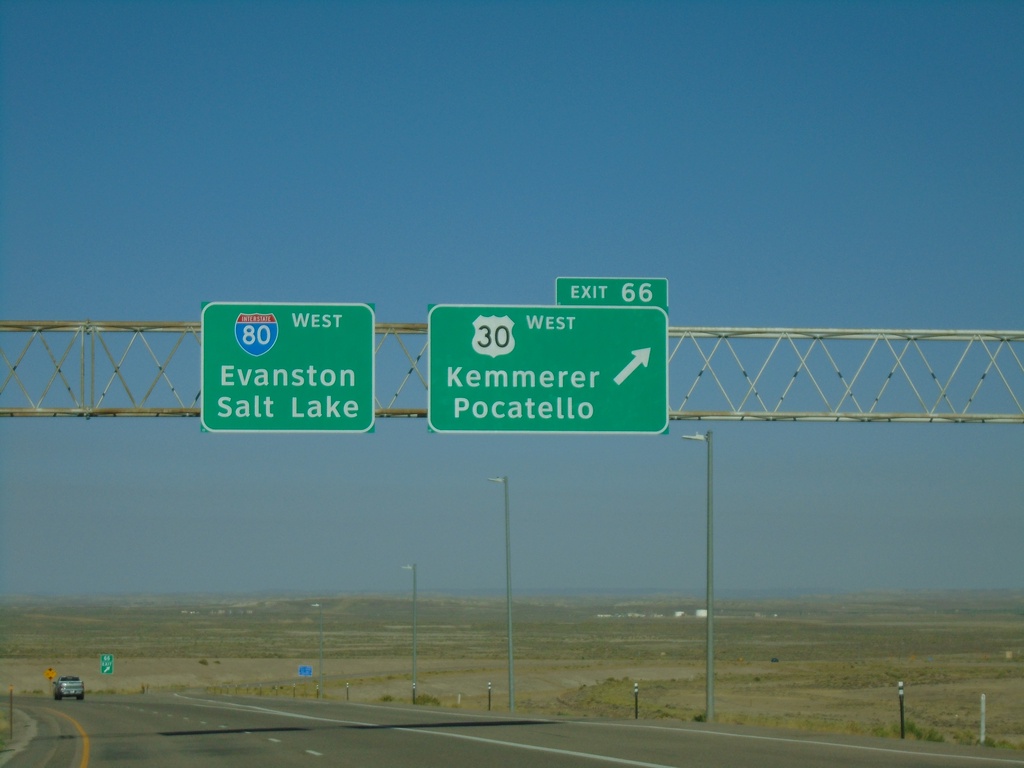
I-80 West - Exit 66
I-80 west at Exit 66 - US-30 West/Kemmerer/Pocatello. US-30 leaves I-80 here and turns towards the northwest towards Kemmerer.
Taken 08-15-2020

 Little America
Sweetwater County
Wyoming
United States
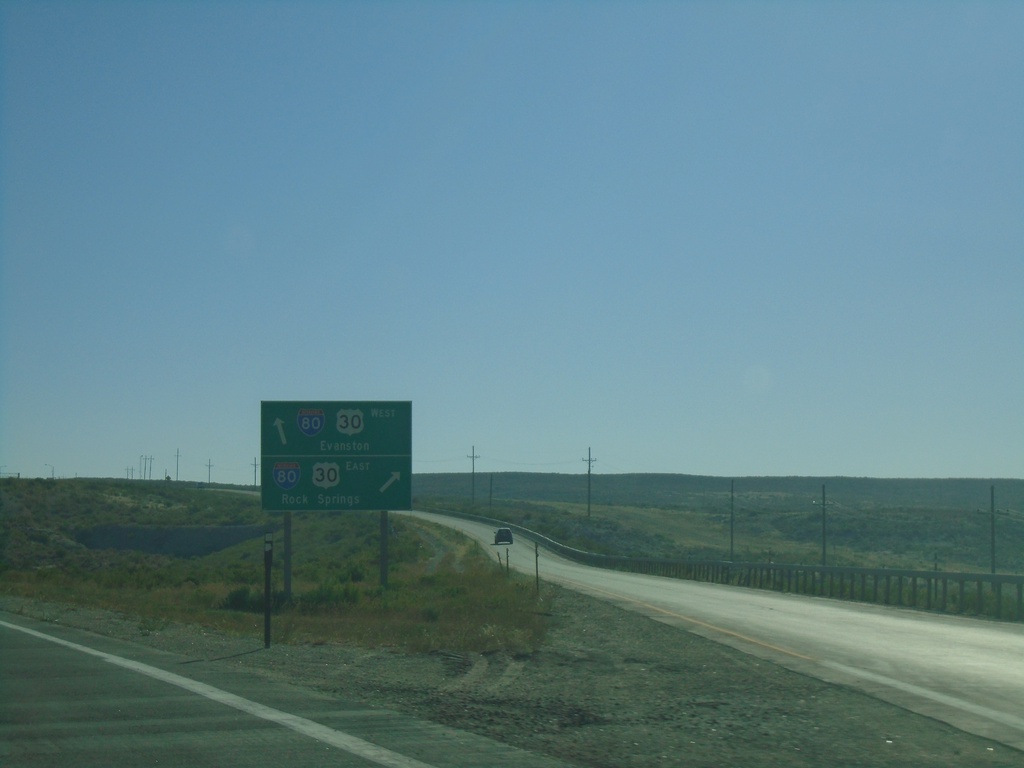
End BL-80/Bus. US-30 East at I-80 (Exit 91)
End BL-80/Bus. US-30 East at I-80 (Exit 91) in Green River. Use I-80/US-30 East to Rock Springs; I-80/US-30 West to Evanston. This is the east end of the Green River business loop.
Taken 08-15-2020


 Green River
Sweetwater County
Wyoming
United States
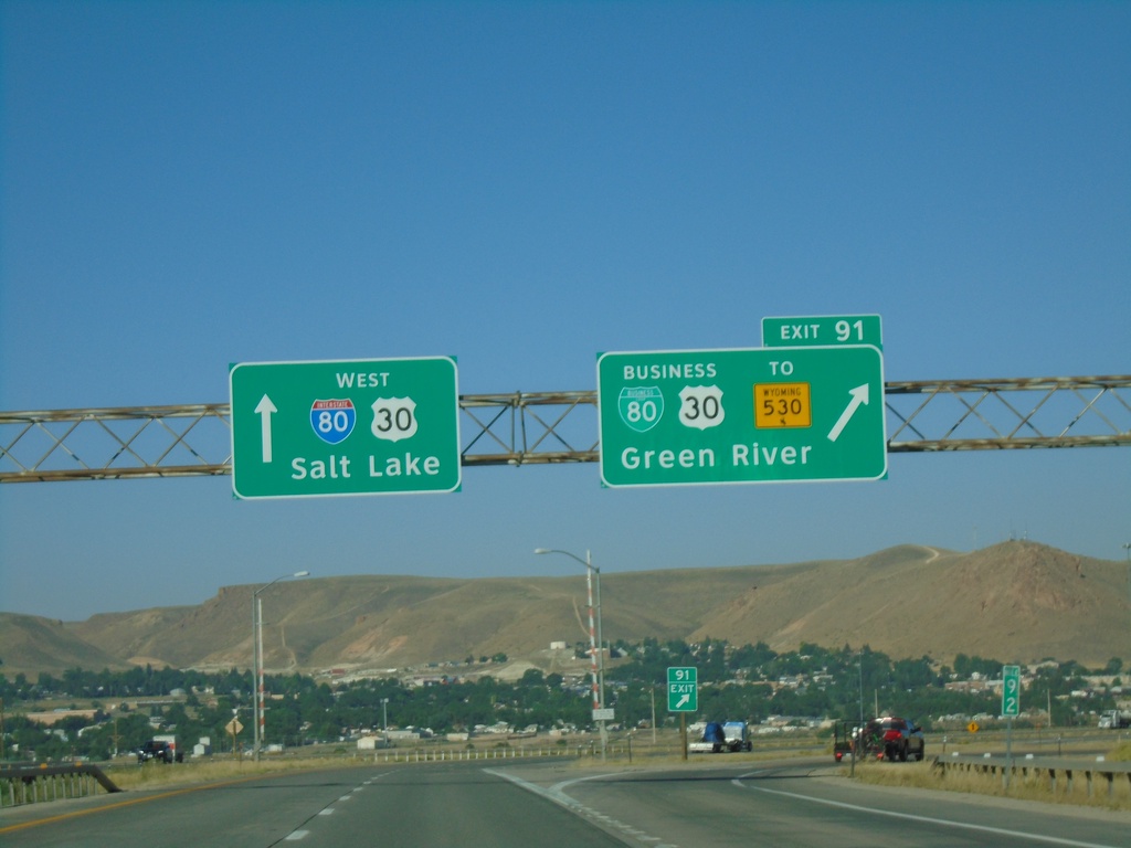
I-80 West - Exit 91
I-80 west at Exit 91 - BL-80/Bus. US-30/To WY-530/Green River. This is the eastern end of the Green River business loop. Continue west on I-80/US-30 for Salt Lake (Utah).
Taken 08-15-2020


 Green River
Sweetwater County
Wyoming
United States
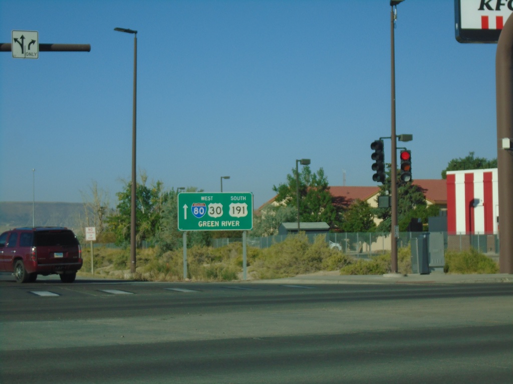
BL-80 West at I-80/US-30 West/US-191 South
BL-80 West (Dewar Drive) at I-80/US-30 West/US-191 South to Green River. This is the western end of the Rock Springs business loop.
Taken 08-15-2020


 Rock Springs
Sweetwater County
Wyoming
United States
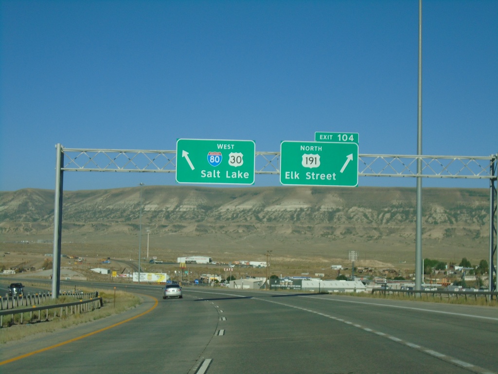
I-80 West - Exit 104
I-80 west at Exit 104 - US-191 North/Elk St. Continue straight for I-80/US-30 West (and US-191 South) to Salt Lake (Utah). US-191 south joins I-80 west through Rock Springs.
Taken 08-15-2020


 Rock Springs
Sweetwater County
Wyoming
United States
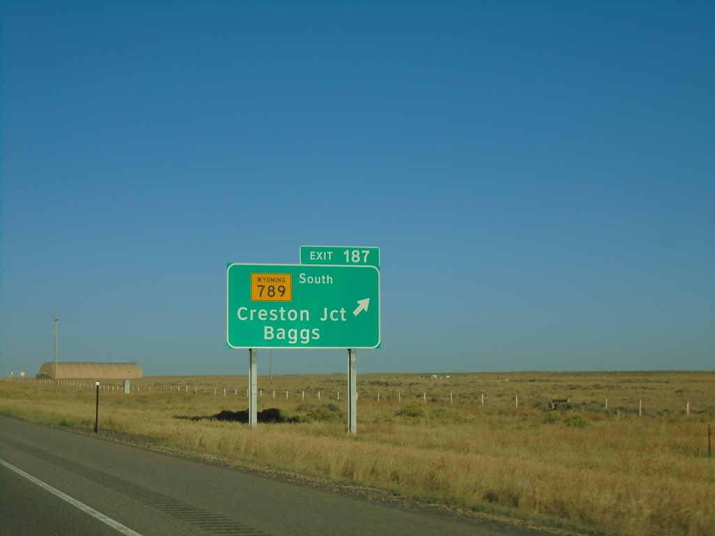
I-80 West Exit 187
I-80 west at Exit 187 - WY-789 South/Creston Jct./Baggs. WY-789 south leaves I-80 westbound.
Taken 08-15-2020


 Rawlins
Sweetwater County
Wyoming
United States
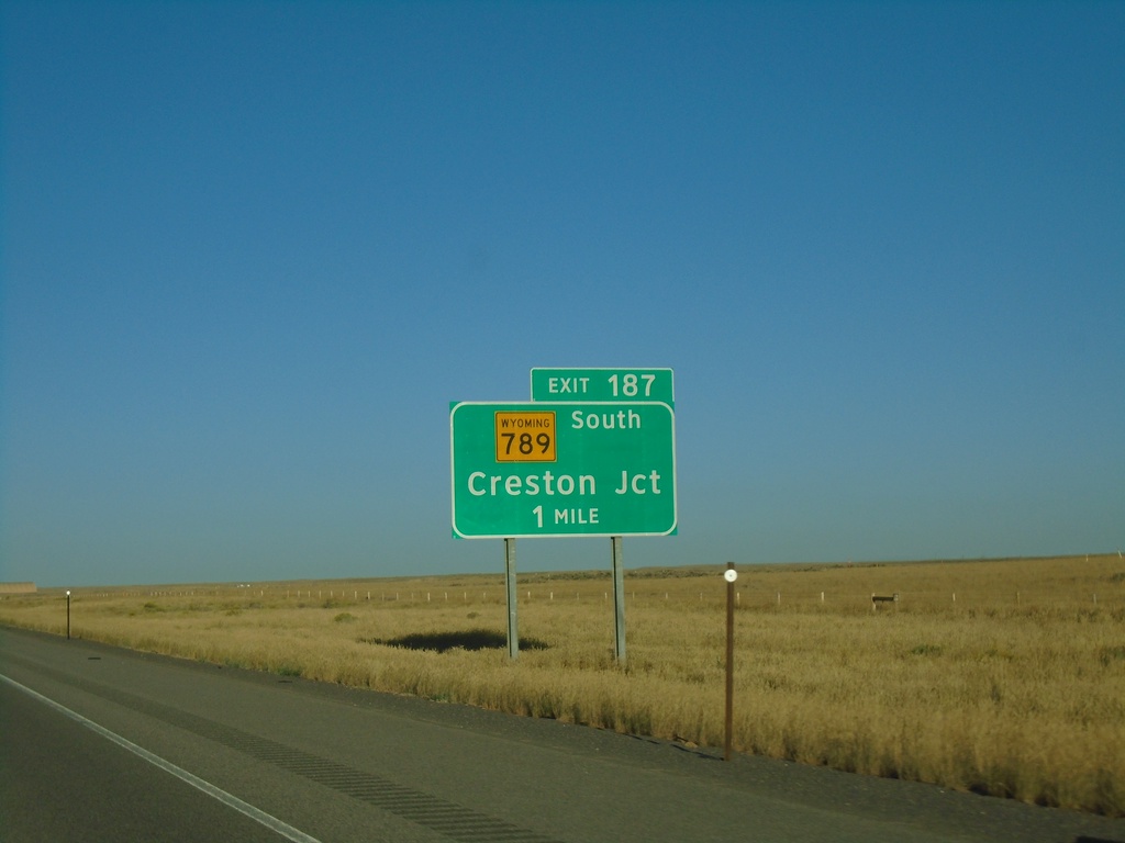
I-80 West Exit 187
I-80 west approaching Exit 187 - WY-789 South/Creston Jct.
Taken 08-15-2020


 Creston
Sweetwater County
Wyoming
United States
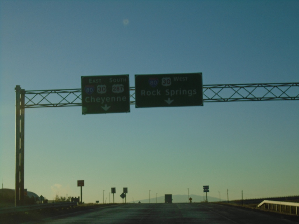
US-287 South at I-80
US-287 South/BL-80 East/Bus. US-30 East at I-80 in Rawlins. Use I-80/US-30 West for Rock Springs; I-80/US-30 East/US-287 South for Cheyenne.
Taken 08-15-2020


 Rawlins
Carbon County
Wyoming
United States
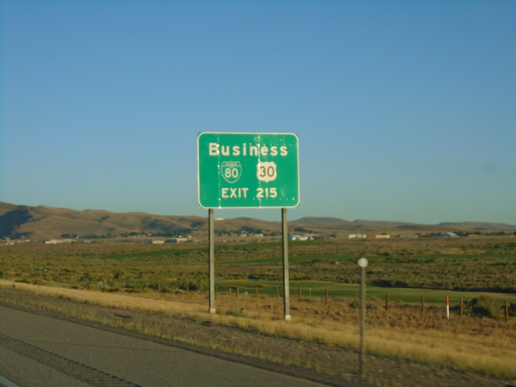
I-80 West - Exit 215
I-80 west approaching Exit 215. BL-80 and Bus. US-30, use Exit 215. This is the eastern end of the Rawlins business loop.
Taken 08-15-2020


 Rawlins
Carbon County
Wyoming
United States
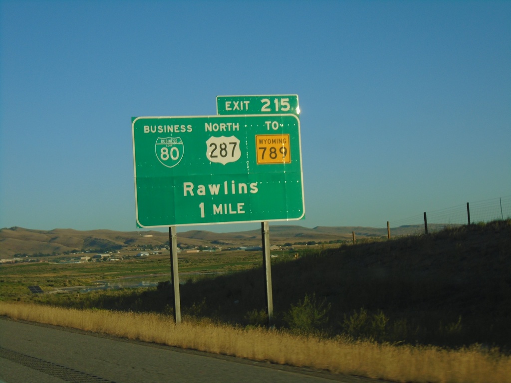
I-80 West - Exit 215
I-80 west approaching Exit 215, BL-80/US-287 North/To WY-789/Rawlins. US-287 North leaves I-80 westbound at Exit 215.
Taken 08-15-2020


 Rawlins
Carbon County
Wyoming
United States
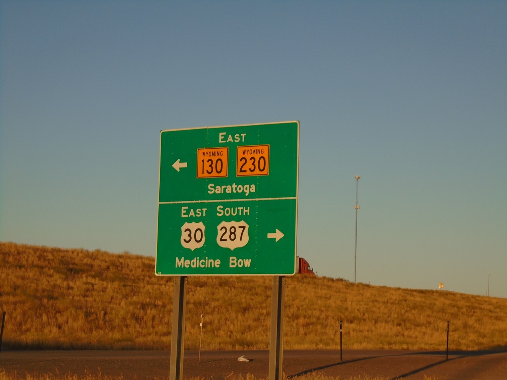
I-80 West Offramp at US-30/US-287/WY-130/WY-230
I-80 West offramp (Exit 235) at US-30/US-287/WY-130/WY-230. Use US-30 East/US-287 South to Medicine Bow. Use WY-130/WY-230 East to Saratoga. US-30 West joins I-80 westbound to Granger; US-287 North joins I-80 westbound to Rawlins.
Taken 08-15-2020


 Walcott
Carbon County
Wyoming
United States