Signs Tagged With Shield Inside Sign
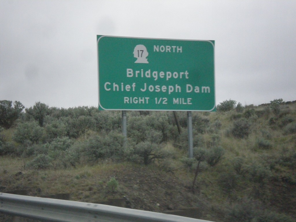
US-2 West/WA-17 North Approaching US-2/WA-17 Split
US-2 West/WA-17 North approaching US-2/WA-17 split in Douglas County. Use WA-17 north for Bridgeport and Chief Joseph Dam.
Taken 04-30-2018

 Coulee City
Douglas County
Washington
United States
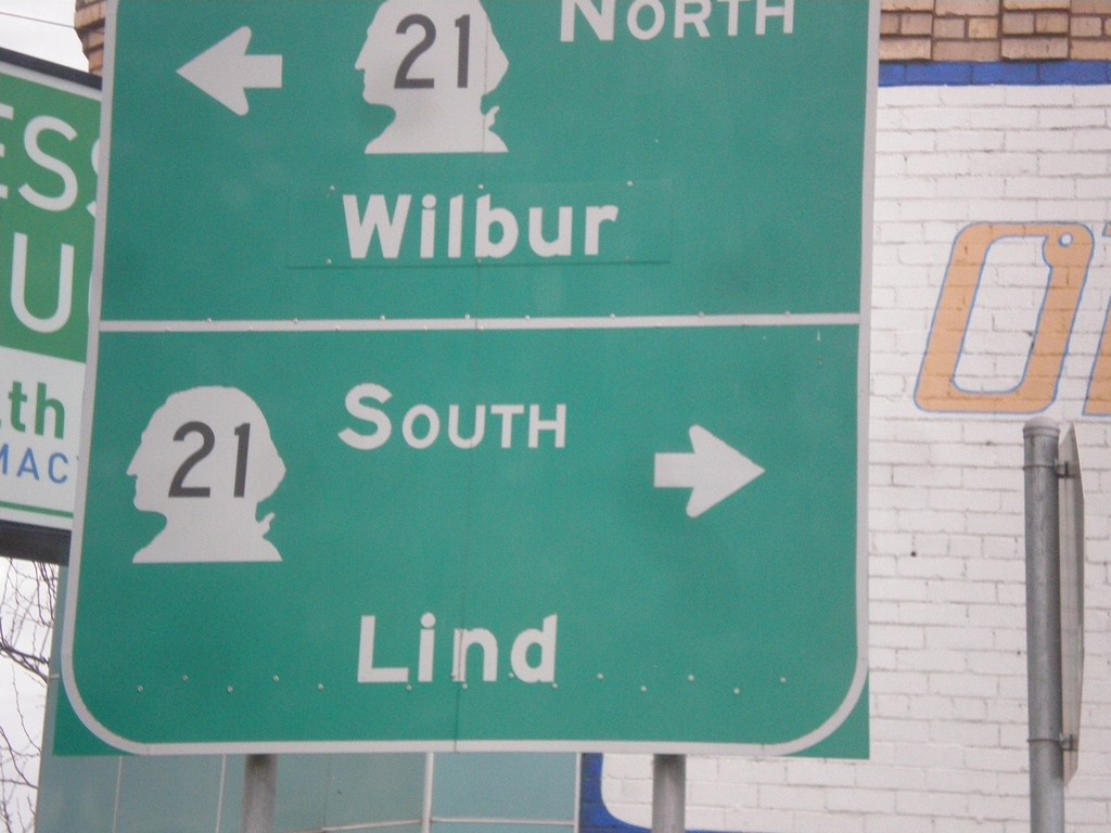
WA-28 West at WA-21 - Odessa
WA-28 West at WA-21 in Odessa. Turn right for WA-21 south to Lind; left for WA-21 north to Wilbur.
Taken 04-30-2018

 Odessa
Lincoln County
Washington
United States
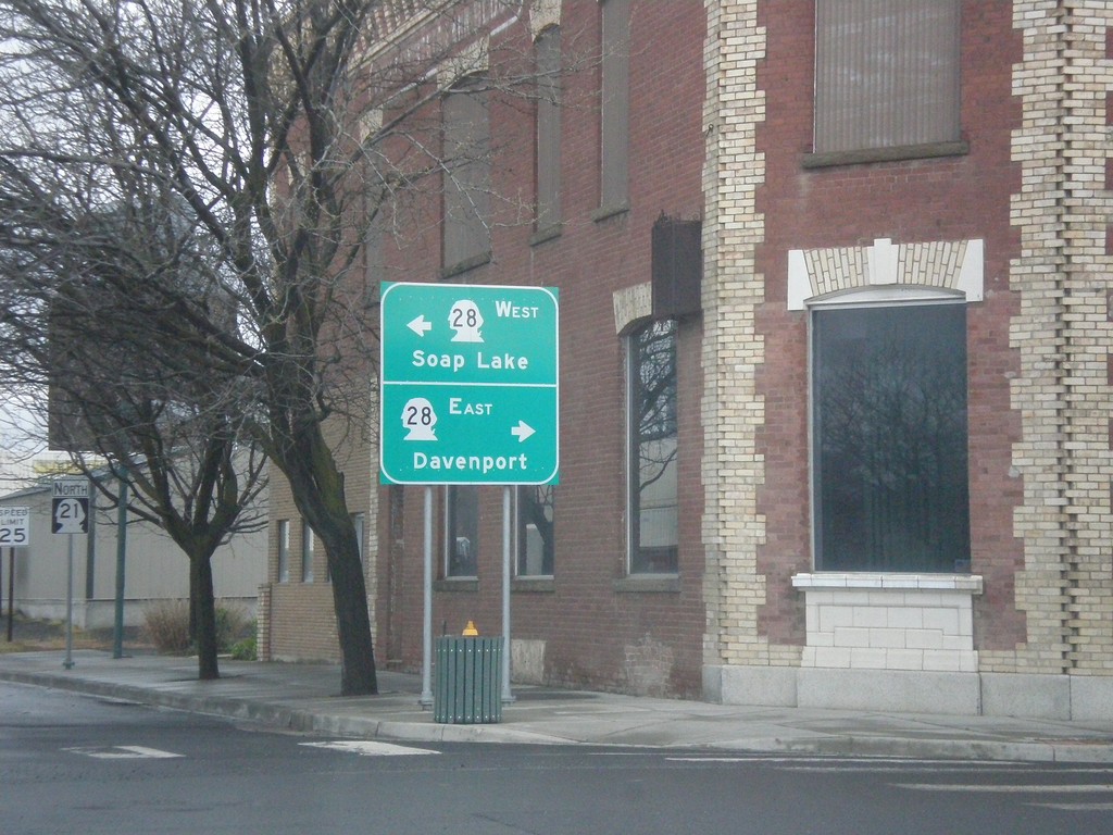
WA-21 North at WA-28 - Odessa
WA-21 North at WA-28 in Odessa. Turn right for WA-28 east to Davenport; left for WA-28 west to Soap Lake.
Taken 04-30-2018

 Odessa
Lincoln County
Washington
United States
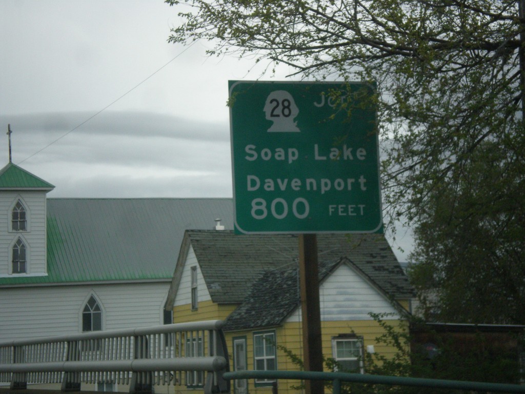
WA-21 North Approaching WA-28
WA-21 North approaching WA-28 to Davenport and Soap Lake.
Taken 04-30-2018

 Odessa
Lincoln County
Washington
United States
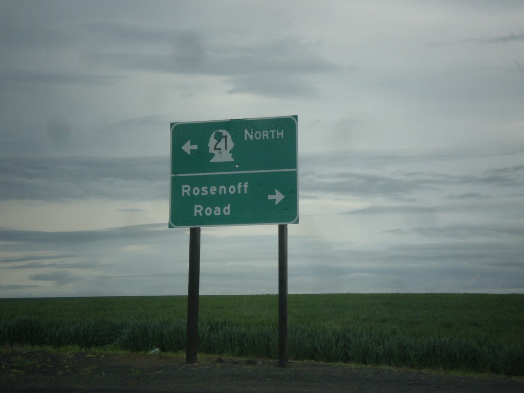
WA-21 North at Rosenoff Road
WA-21 North at Rosenoff Road. Turn right for Rosenoff Road; turn left to continue north on WA-21.
Taken 04-30-2018
 Reiman
Adams County
Washington
United States
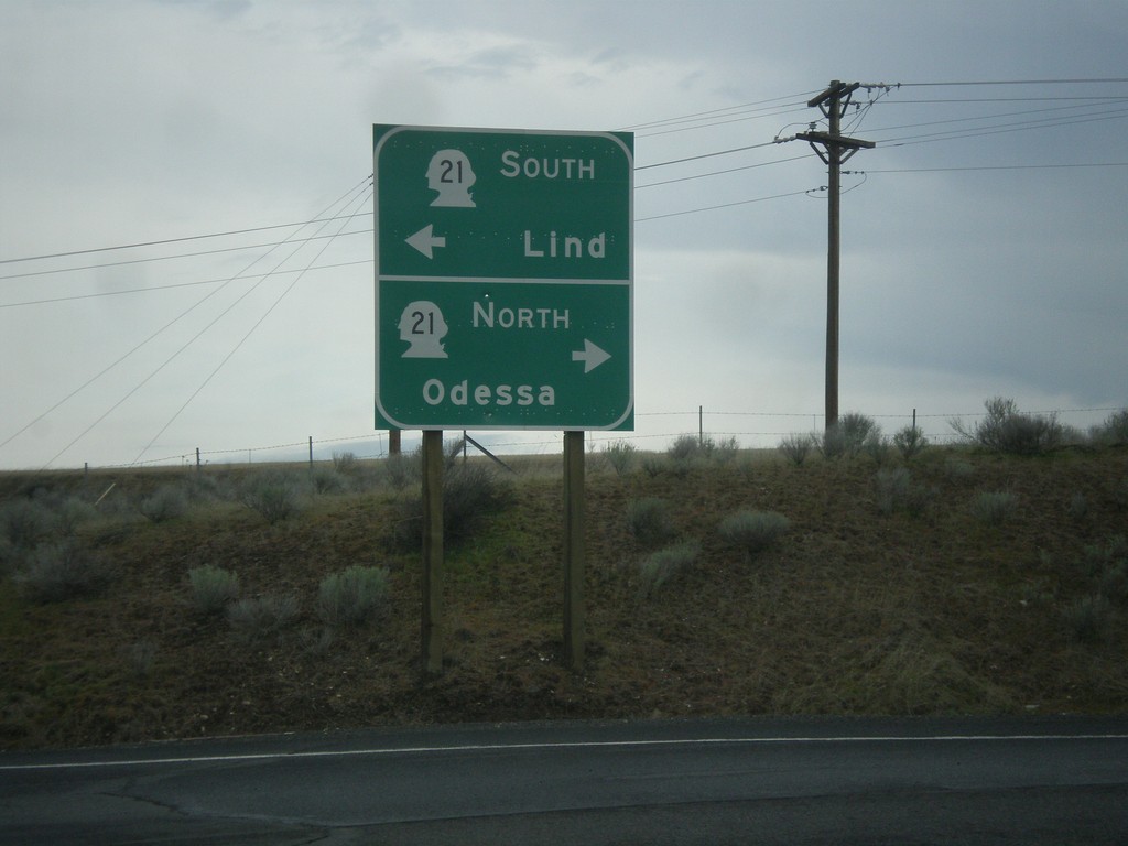
I-90 West Exit 206 Offramp at WA-21
I-90 West Exit 206 Offramp at WA-21. Use WA-21 north for Odessa; WA-21 south for Lind.
Taken 04-30-2018

 Ritzville
Adams County
Washington
United States
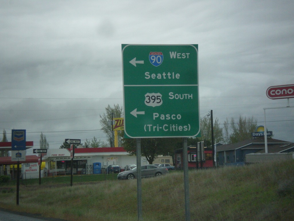
End WA-261 North at I-90 West/US-395 South
End WA-261 North at I-90 West/US-395 South in Ritzville. Turn left (on Weber St.) for onramps to I-90 West/Seattle and US-395 South/Pasco/(Tri-Cities).
Taken 04-30-2018


 Ritzville
Adams County
Washington
United States
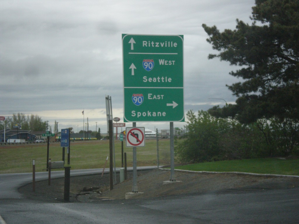
WA-261 North at I-90 East
WA-261 North at I-90 East to Spokane. Continue over the freeway for I-90 West to Seattle and Ritzville. WA-261 North ends at I-90.
Taken 04-30-2018


 Ritzville
Adams County
Washington
United States
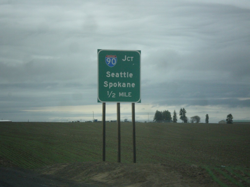
WA-261 North Approaching I-90
WA-261 North approaching I-90/US-395 to Seattle and Spokane.
Taken 04-30-2018


 Ritzville
Adams County
Washington
United States
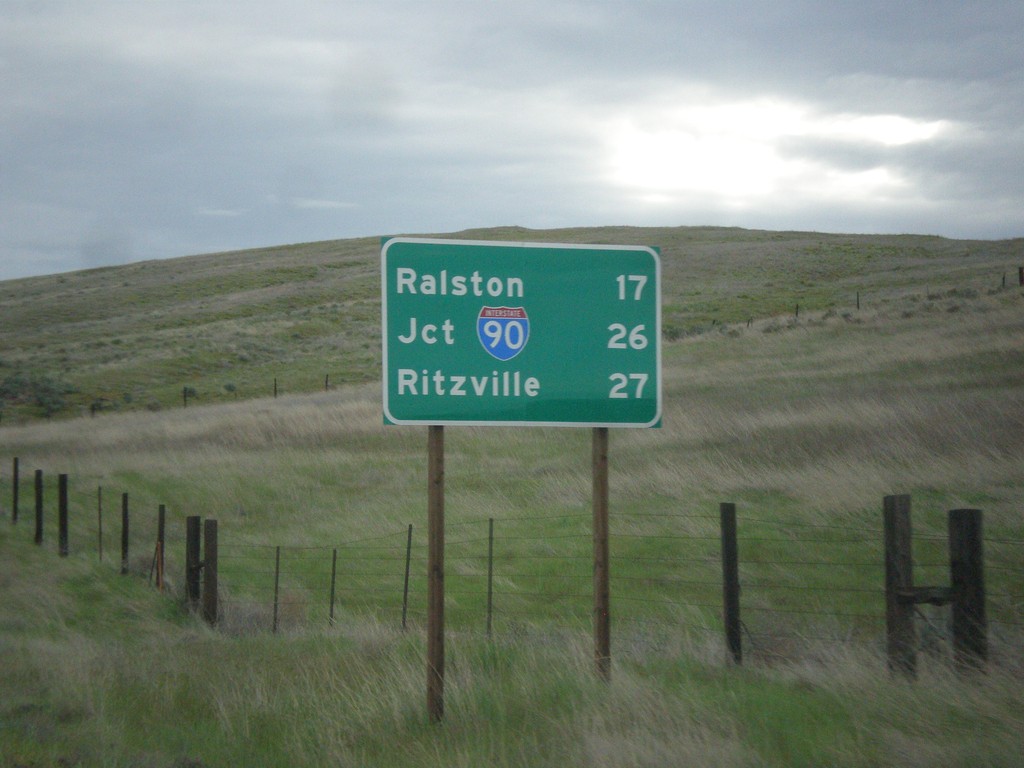
WA-261 North - Distance Marker
Distance marker on WA-261 north. Distance to Ralston, Jct. I-90, and Ritzville.
Taken 04-30-2018

 Washtucna
Adams County
Washington
United States
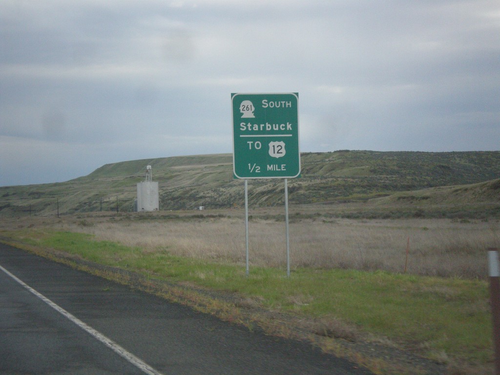
WA-260 North Approaching WA-261 South
WA-260 North Approaching WA-261 South to Starbuck and US-12. WA-261 joins WA-260 north to Washtucna.
Taken 04-30-2018


 Washtucna
Franklin County
Washington
United States
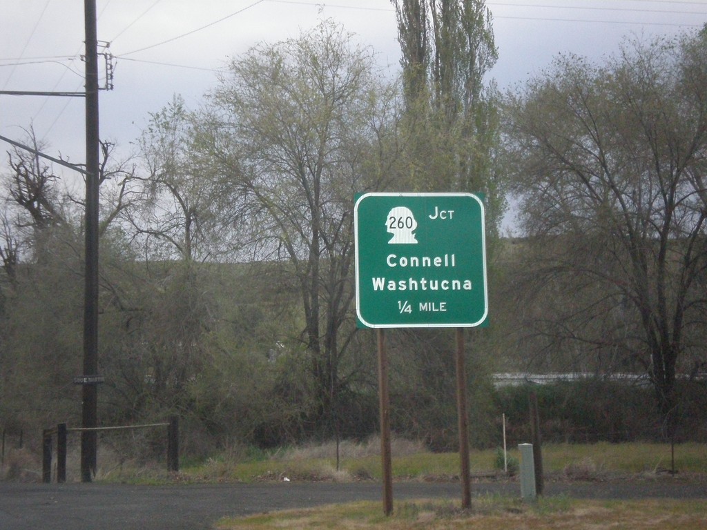
WA-263 North Approaching WA-260
WA-263 North approaching WA-260 to Connell and Washtucna in Kahlotus.
Taken 04-30-2018

 Kahlotus
Franklin County
Washington
United States
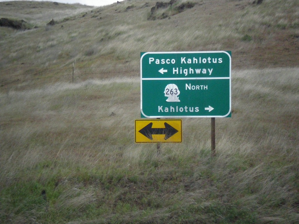
WA-263 North at Pasco Kahlotus Highway
WA-263 North at Pasco Kahlotus Highway in Franklin County. Turn left for Pasco Kahlotus Highway; right to continue north on WA-263 to Kahlotus.
Taken 04-30-2018
 Pasco
Franklin County
Washington
United States
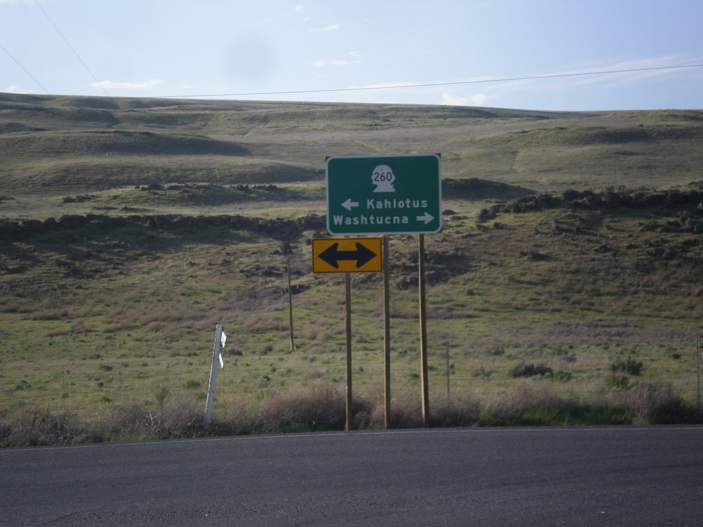
WA-261 North at WA-260
WA-261 North at WA-260 in Franklin County. Turn right for WA-260/WA-261 North to Washtucna; left for WA-261 South to Kahlotus. WA-260 joins WA-261 north to Washtucna.
Taken 04-29-2018

 Washtucna
Franklin County
Washington
United States
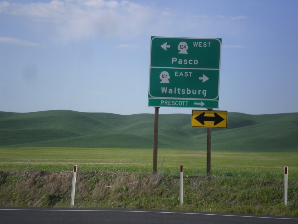
End WA-125 North at WA-124
End WA-125 North at WA-124. Turn right for WA-124 east to Waitsburg and Prescott. Turn left for WA-124 west to Pasco.
Taken 04-29-2018

 Prescott
Walla Walla County
Washington
United States
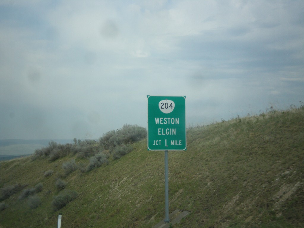
OR-11 North Approaching OR-204
OR-11 North Approaching OR-204 east to Weston and Elgin.
Taken 04-29-2018

 Weston
Umatilla County
Oregon
United States
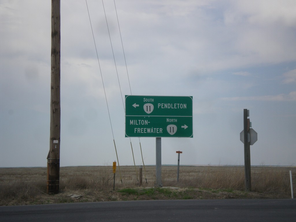
End OR-331 North at OR-11
End OR-331 North at OR-11 in Umatilla County. Turn right for OR-11 north to Milton-Freewater; turn left for OR-11 south to Pendleton.
Taken 04-29-2018

 Pendleton
Umatilla County
Oregon
United States
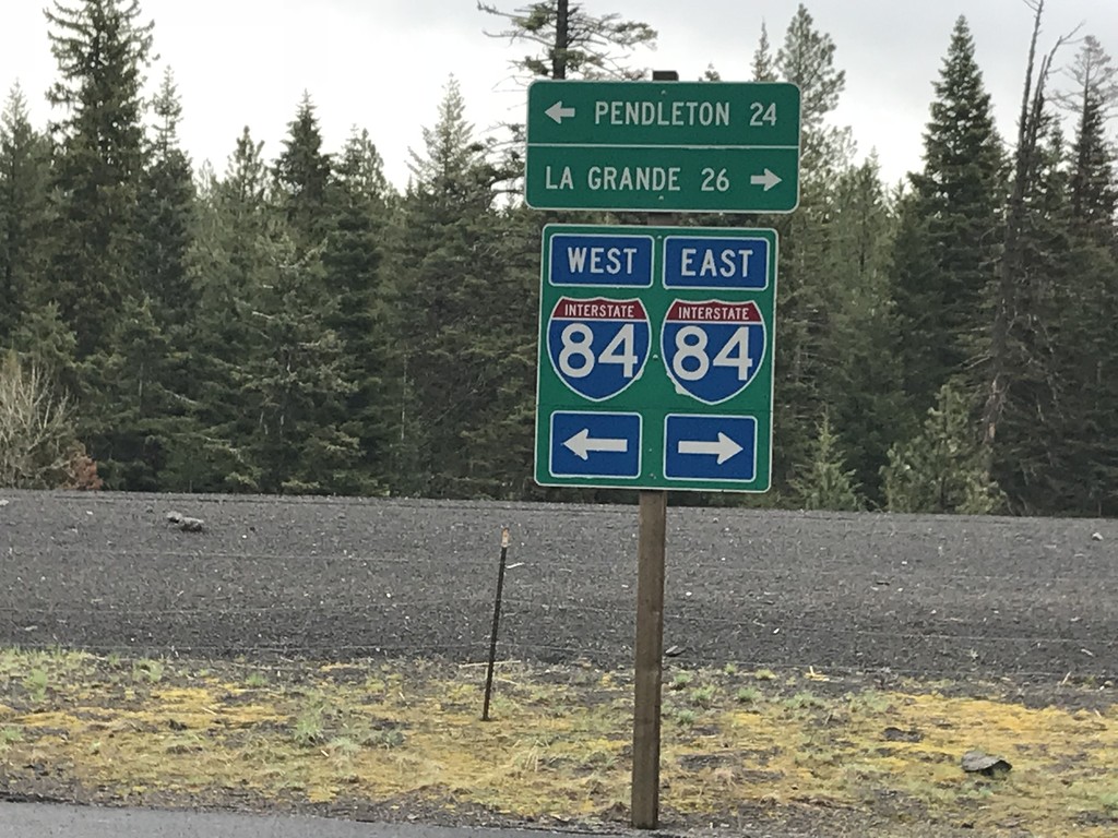
Emigrant Springs State Park Road at Frontage Road
Emigrant Springs State Park Road at Frontage Road. Turn right for access to I-84 east to La Grande; left for access to I-84 west to Pendleton.
Taken 04-29-2018
 Meacham
Umatilla County
Oregon
United States
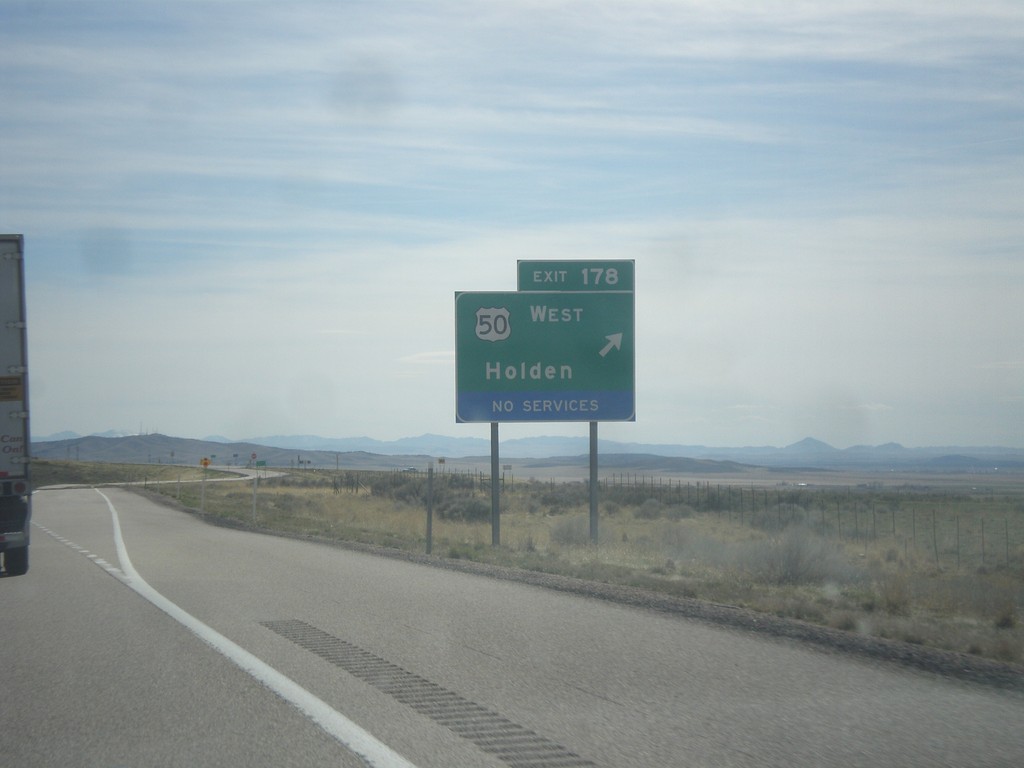
I-15 South - Exit 178
I-15 south at Exit 178 - US-50 West/Holden. US-50 west leaves I-15 southbound here. US-50 joins I-15 northbound to Scipio.
Taken 03-29-2018

 Holden
Millard County
Utah
United States
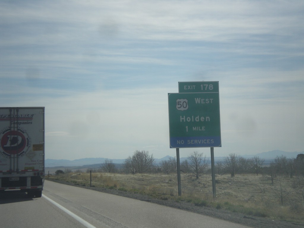
I-15 South - Exit 178
I-15 south approaching Exit 178 - US-50 West/Holden. US-50 leaves I-15 southbound here.
Taken 03-29-2018

 Holden
Millard County
Utah
United States
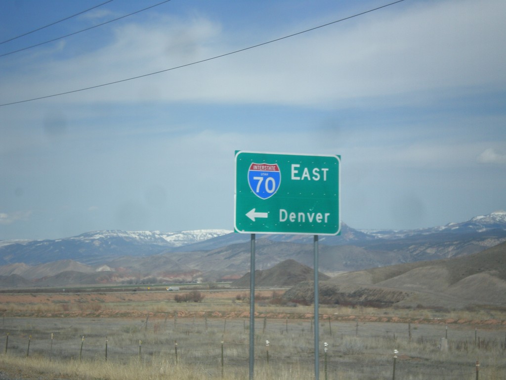
UT-24 West at I-70 (UT-259)
UT-24 west at I-70 east to Denver. There is a signed state highway, UT-259, that connects UT-24 to the I-70 ramps. This sign has been replaced in recent years to include the UTAH text in the I-70 shield.
Taken 03-29-2018


 Sigurd
Sevier County
Utah
United States
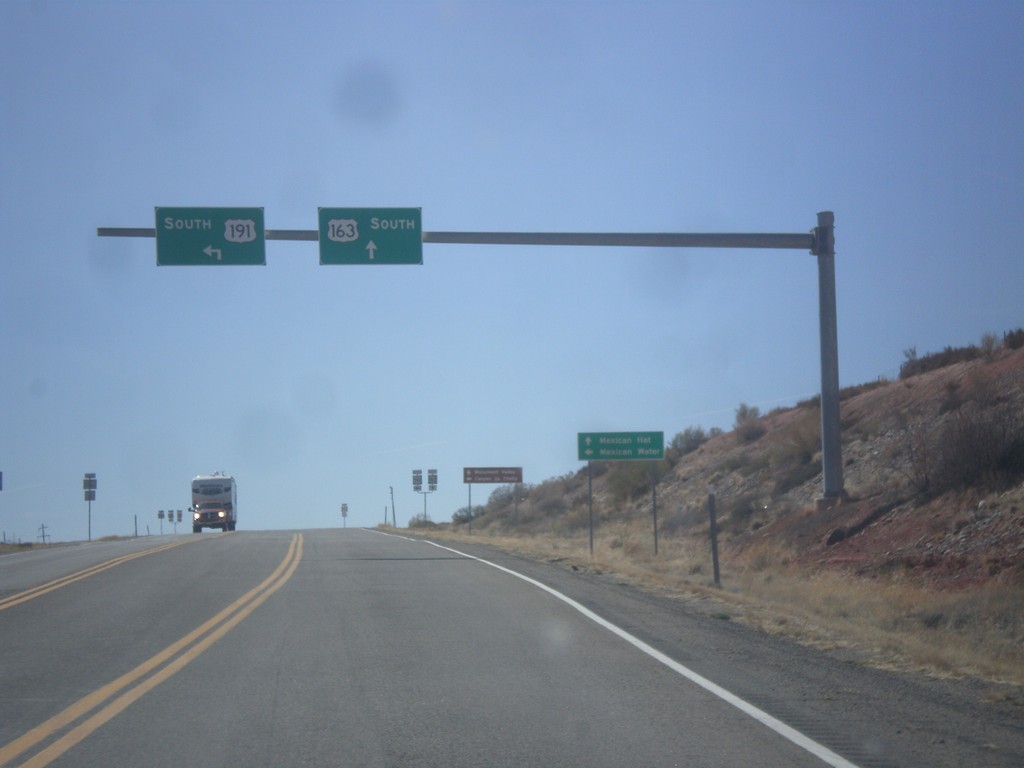
US-191 South at US-163
US-191 South at US-163 in San Juan County. Turn left to continue south on US-191 to Mexican Water (Arizona). Continue straight for US-163 west to Mexican Hat. This is the eastern end of US-163 west.
Taken 03-28-2018

 Bluff
San Juan County
Utah
United States
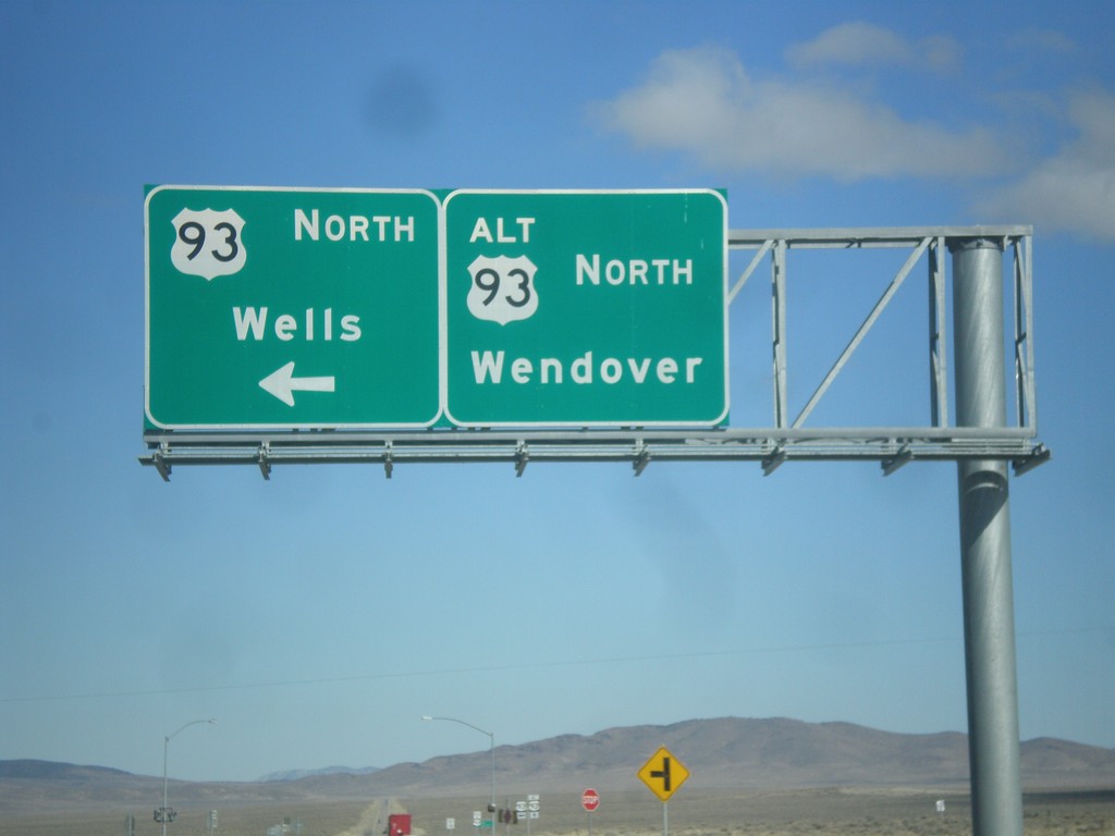
US-93 North at US-93 Alt. North
US-93 North at US-93 Alt. North. Continue straight for US-93 Alt. north to Wendover; turn left for US-93 north to Wells.
Taken 02-13-2018

 Ely
White Pine County
Nevada
United States
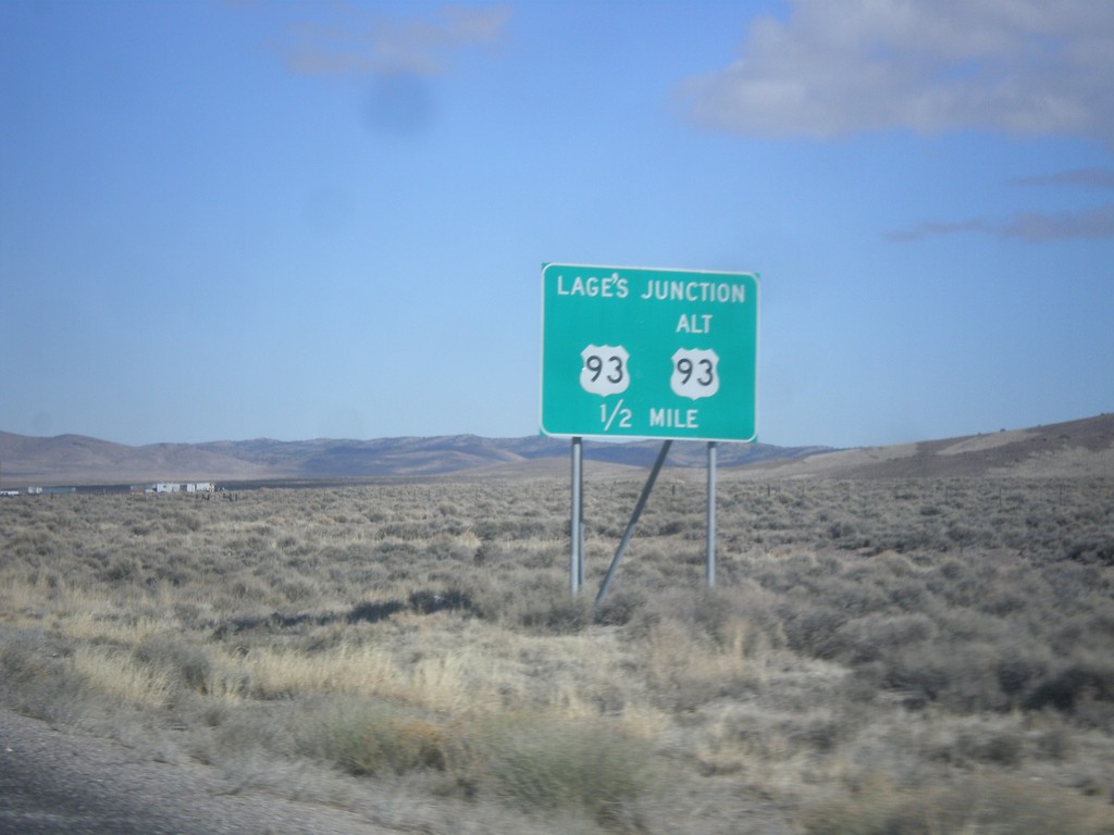
US-93 North Approaching Lages Junction
US-93 North approaching Lages Junction - US-93/Alt. US-93 Jct.
Taken 02-13-2018

 Ely
White Pine County
Nevada
United States
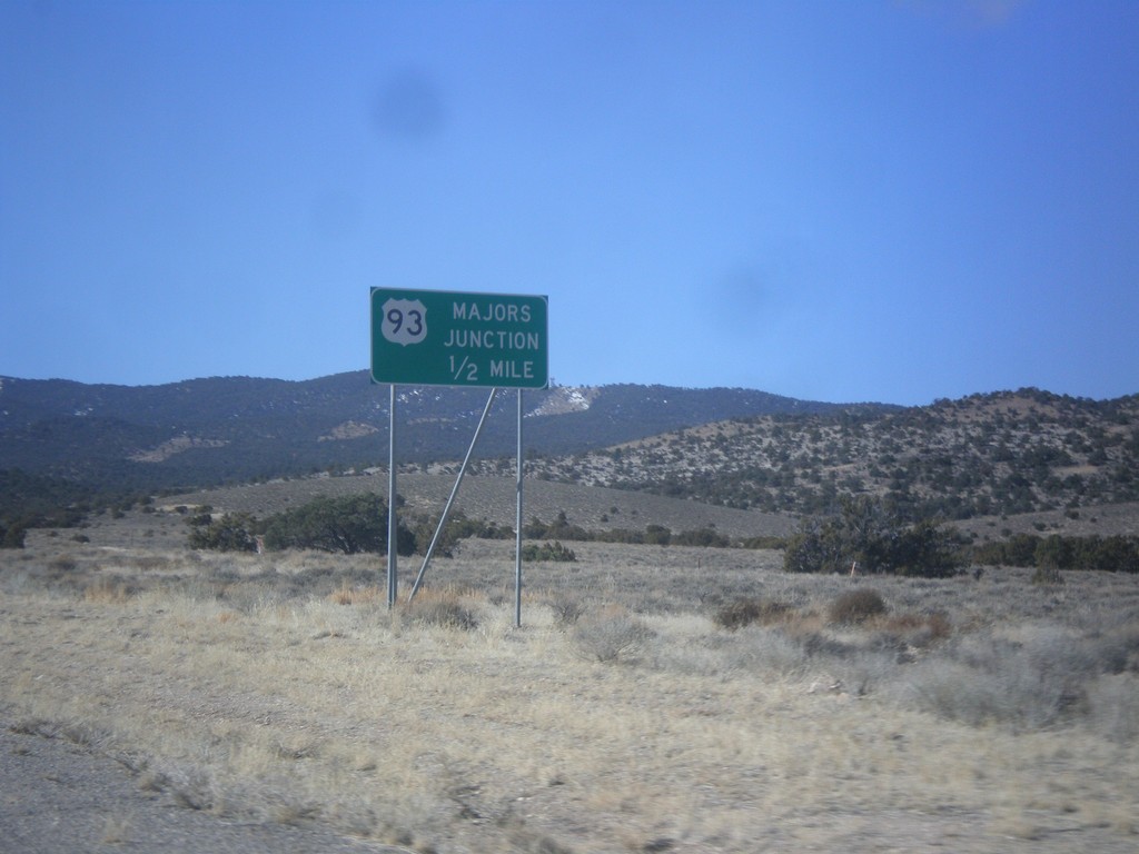
US-6/US-50 West Approaching US-93
US-6/US-50 West approaching US-93 - Majors Junction.
Taken 02-13-2018


 Ely
White Pine County
Nevada
United States