Signs Tagged With Shield Inside Sign
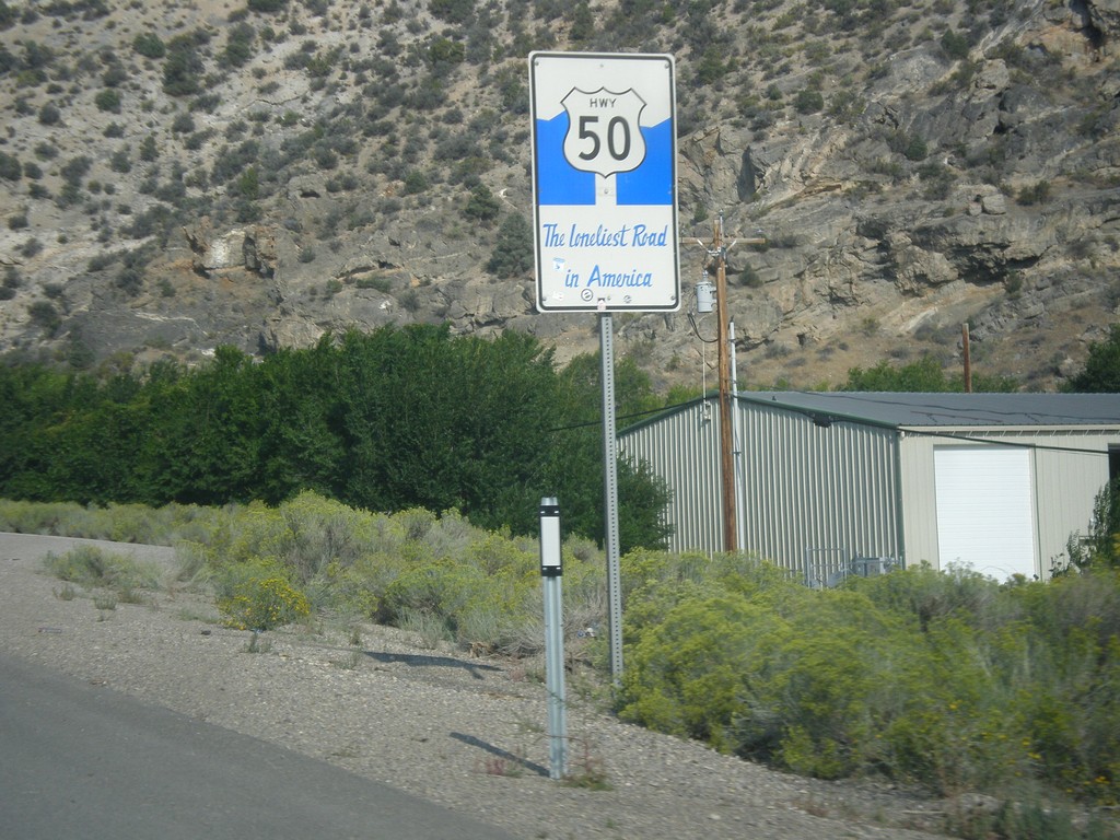
US-50 West - The Loneliest Road In America
The Loneliest Road in America on US-50 west. Taken at the west edge of Ely.
Taken 08-31-2014
 Ely
White Pine County
Nevada
United States
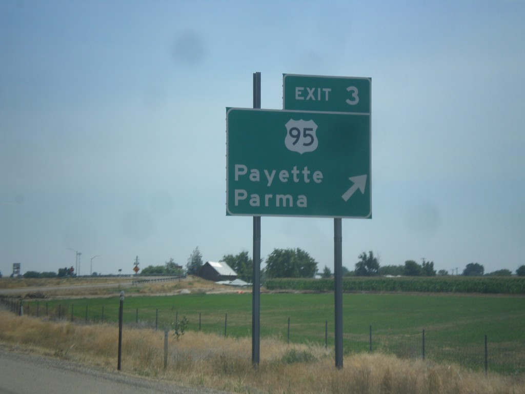
I-84 East - Exit 3
I-84 east at Exit 3 - US-95/Payette/Parma. First Idaho exit.
Taken 07-27-2014

 Fruitland
Payette County
Idaho
United States
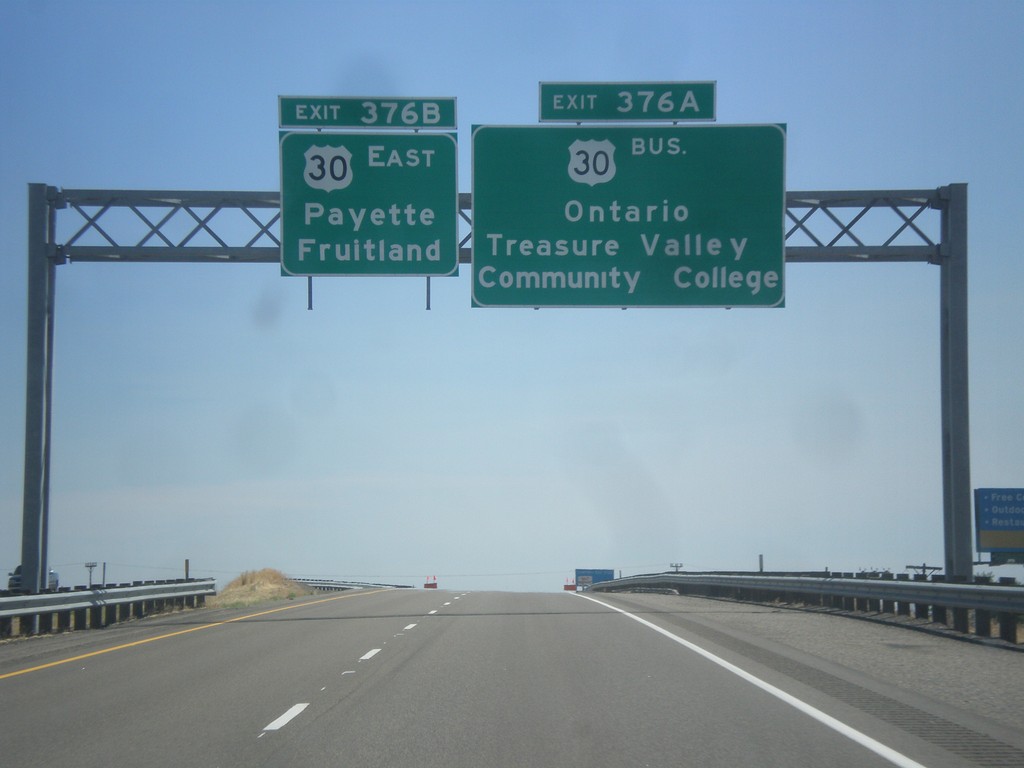
I-84 East - Exits 376A and B
I-84 east approaching Exit 376A - Bus. US-30/Ontario/Treasure Valley Community College. Approaching Exit 376B - US-30 East/Fruitland/Payette. Both Fruitland and Payette are in Idaho.
Taken 07-27-2014


 Ontario
Malheur County
Oregon
United States
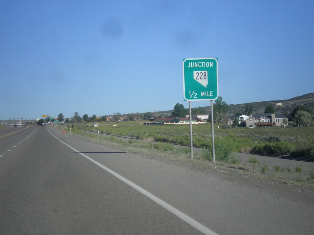
NV-227 West Approaching NV-228
NV-227 West approaching NV-228 south in Spring Creek.
Taken 06-21-2014

 Spring Creek
Elko County
Nevada
United States
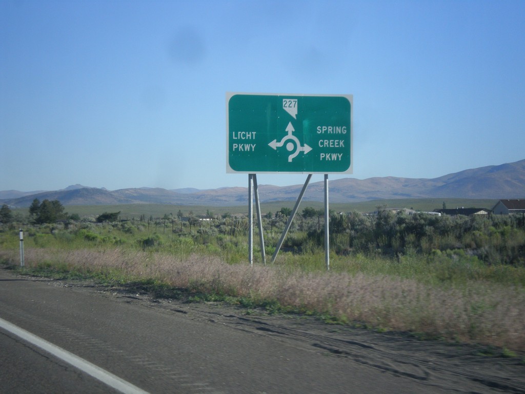
NV-227 West - Spring Creek Parkway and Licht Parkway
NV-227 west approaching roundabout at Spring Creek Parkway and Licht Parkway.
Taken 06-21-2014
 Spring Creek
Elko County
Nevada
United States
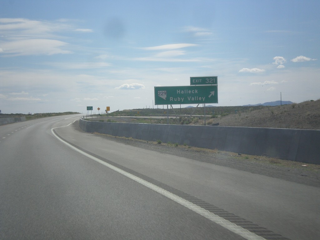
I-80 West - Exit 321
I-80 west at Exit 321 - NV-229/Halleck/Ruby Valley.
Taken 06-21-2014

 Halleck
Elko County
Nevada
United States
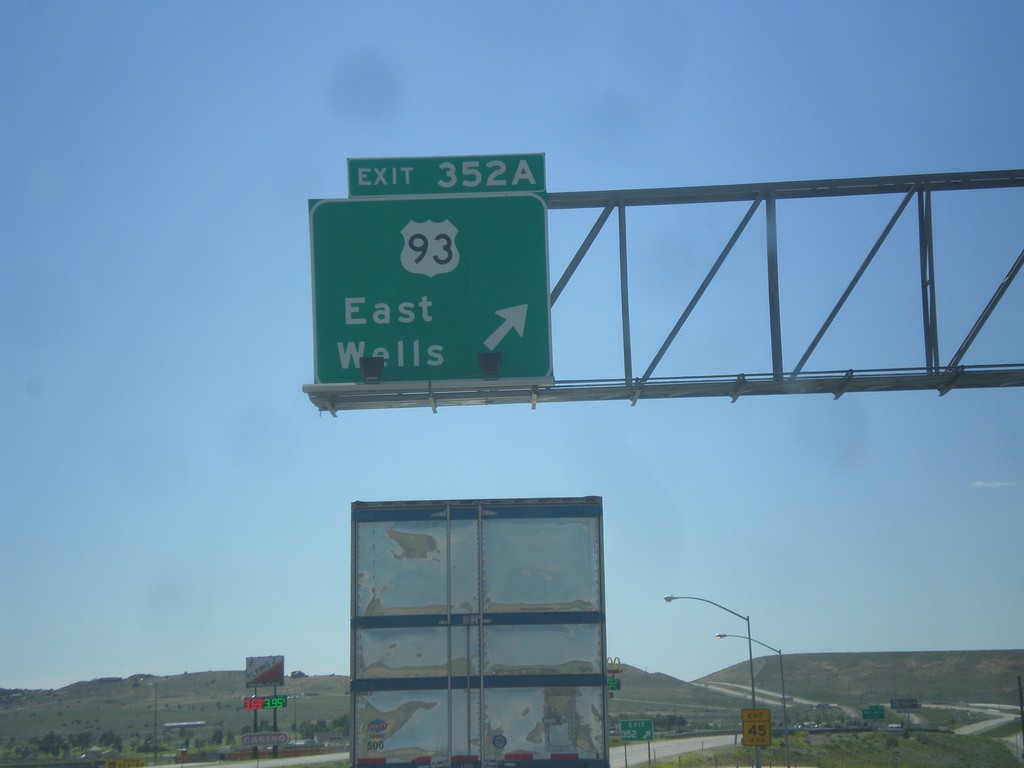
I-80 West - Exit 352A
I-80 west at Exit 352A - US-93/East Wells.
Taken 06-21-2014


 Wells
Elko County
Nevada
United States
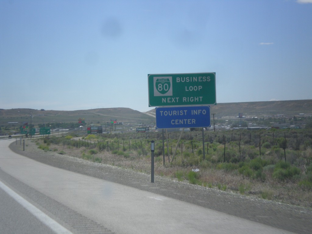
I-80 West - Business Loop
I-80 west approaching Exit 352A. This is the eastern end of the Wells business loop. Typically business loops are not posted on the main exit assembly in Nevada, rather they are on signs like this before the interchange.
Taken 06-21-2014


 Wells
Elko County
Nevada
United States
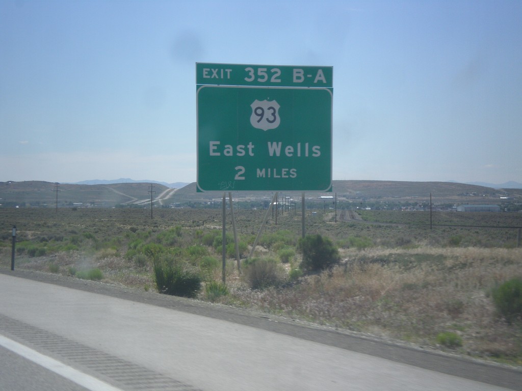
I-80 West - Exits 352A-B
I-80 west approaching Exits 352A-B - US-93/East Wells.
Taken 06-21-2014


 Wells
Elko County
Nevada
United States
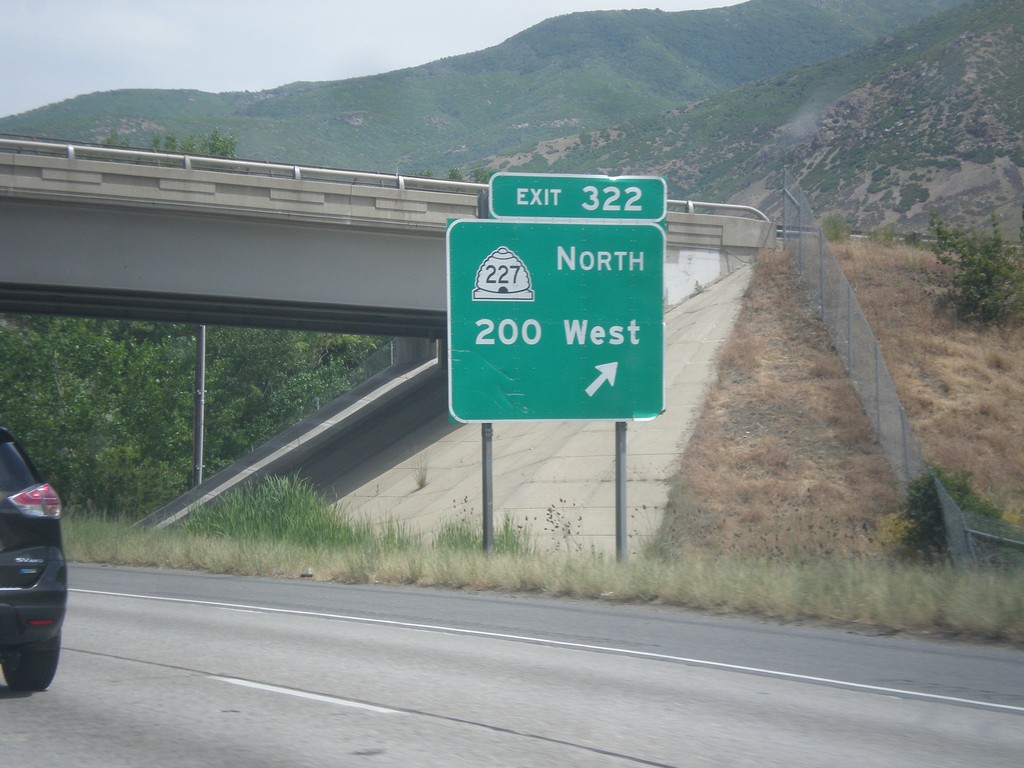
I-15 North - Exit 322
I-15 north at Exit 322 - UT-227 North/200 West.
Taken 06-21-2014


 Farmington
Davis County
Utah
United States
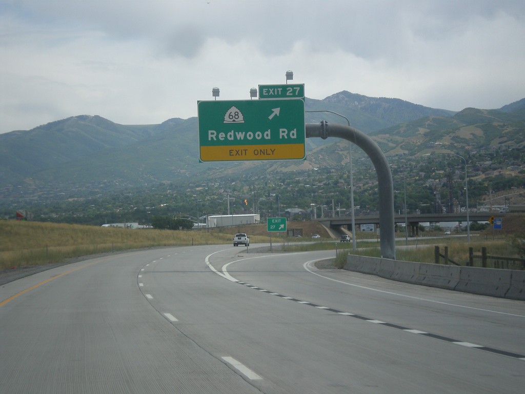
I-215 North - Exit 27
I-215 north at Exit 27 - UT-68/Redwood Road.
Taken 06-20-2014

 North Salt Lake
Davis County
Utah
United States
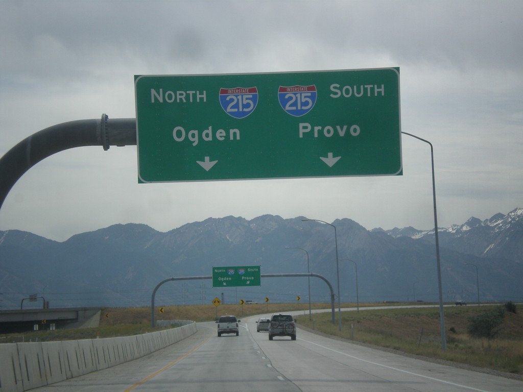
I-80 Exit 117 - I-215 Ramps
I-215/I-80 interchange, from I-80 east. Use left lanes for I-215 north to Ogden; right lanes for I-215 south to Provo.
Taken 06-20-2014

 Salt Lake City
Salt Lake County
Utah
United States
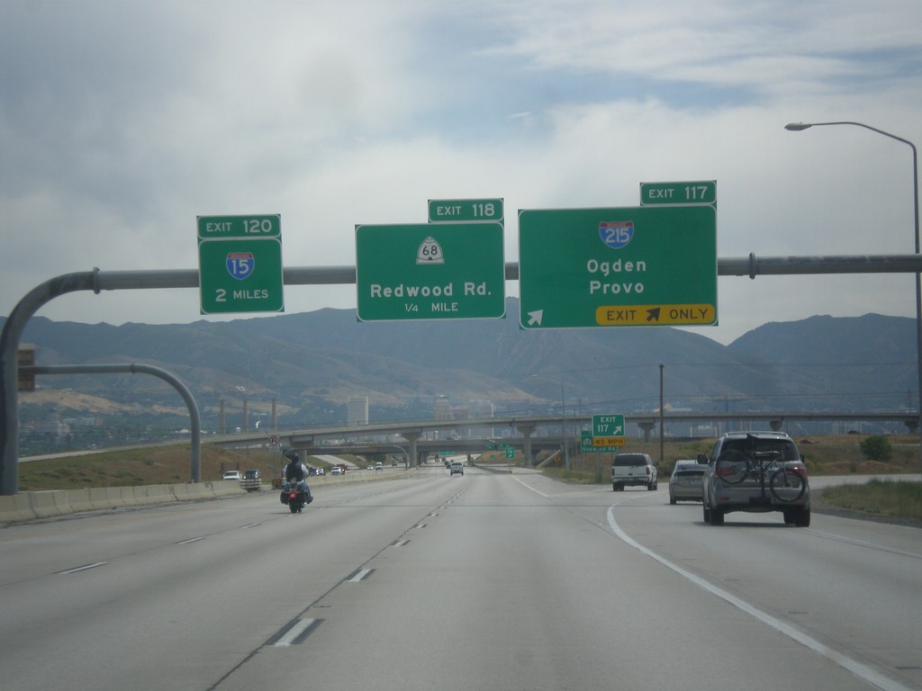
I-80 East - Exits 117, 118, and 120
I-80 east at Exit 117 - I-215/Odgen/Provo. I-215 is the Salt Lake City Belt Route. Approaching Exit 118 - UT-68/Redwood Road, and Exit 120 - I-15.
Taken 06-20-2014


 Salt Lake City
Salt Lake County
Utah
United States
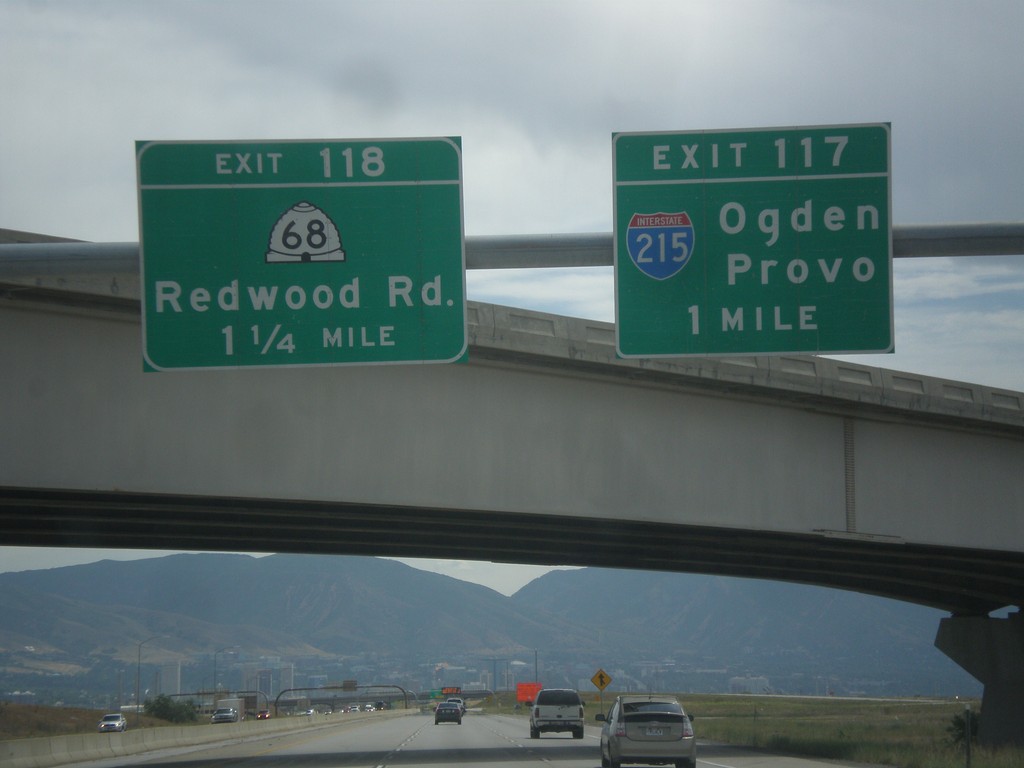
I-80 East - Exits 117 and 118
I-80 east at Exit 117 - I-215/Ogden/Provo. Approaching Exit 118 - UT-68/Redwood Road.
Taken 06-20-2014


 Salt Lake City
Salt Lake County
Utah
United States
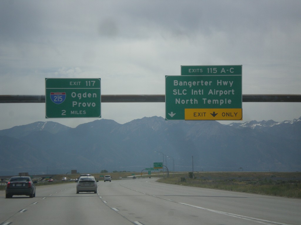
I-80 East - Exits 115 and Exit 117.
I-80 east at Exit 115 A-C - Bangerter Highway/SLC International Airport/North Temple. Approaching Exit 117 - I-215/Ogden/Provo. In the I-215 shield is the text UTAH. More and more of these types of shields with the state names are appearing around Utah.
Taken 06-20-2014

 Salt Lake City
Salt Lake County
Utah
United States
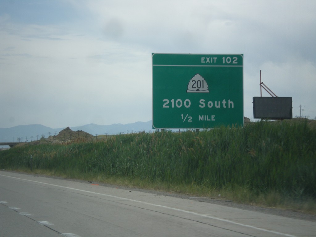
I-80 East - Exit 102
I-80 east approaching Exit 102 - UT-201/2100 South.
Taken 06-20-2014

 Tooele
 County
Utah
United States
Tooele
Tooele County
Utah
United States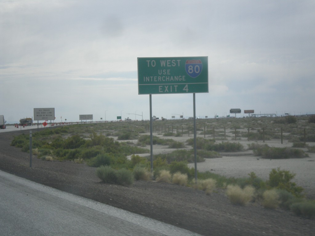
I-80 West Traffic Use Exit 4
End BL-80/UT-58 east at I-80. The Exit 2 ramp only has eastbound interstate access. To use I-80 westbound, take Exit 4.
Taken 06-20-2014


 Wendover
Tooele County
Utah
United States
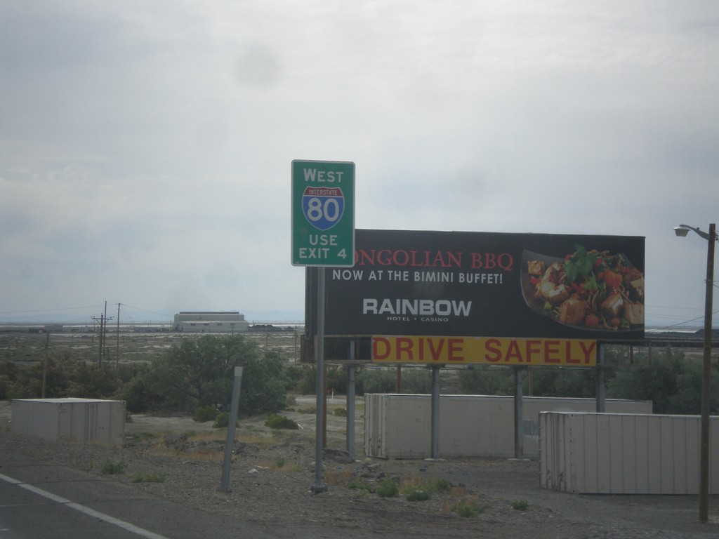
BL-80/UT-58 East Approaching I-80
BL-80/UT-58 East approaching I-80 in Wendover. For I-80 westbound, go east on I-80 to Exit 4.
Taken 06-20-2014


 Wendover
Tooele County
Utah
United States
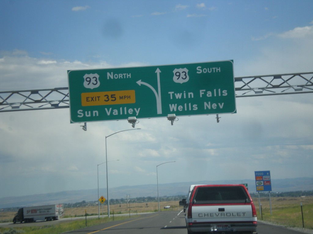
I-84 East at Exit 173 Offramp
I-84 east - Exit 173 offramp. Use right lane for US-93 south to Twin Falls and Wells, Nev. Use left lane for US-93 north to Sun Valley.
Taken 06-20-2014

 Twin Falls
 County
Idaho
United States
Twin Falls
Twin Falls County
Idaho
United States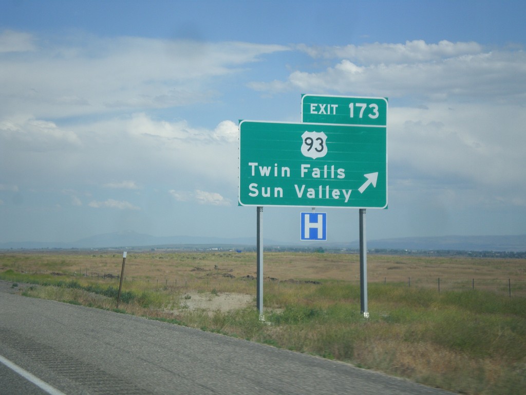
I-84 East - Exit 173
I-84 east at Exit 173 - US-93/Twin Falls/Sun Valley. The exit text on this interchange changed in 2013 when the ramp was reconstructed. The former destination was for Twin Falls and Wells, Nev.
Taken 06-20-2014

 Jerome
 County
Idaho
United States
Jerome
Jerome County
Idaho
United States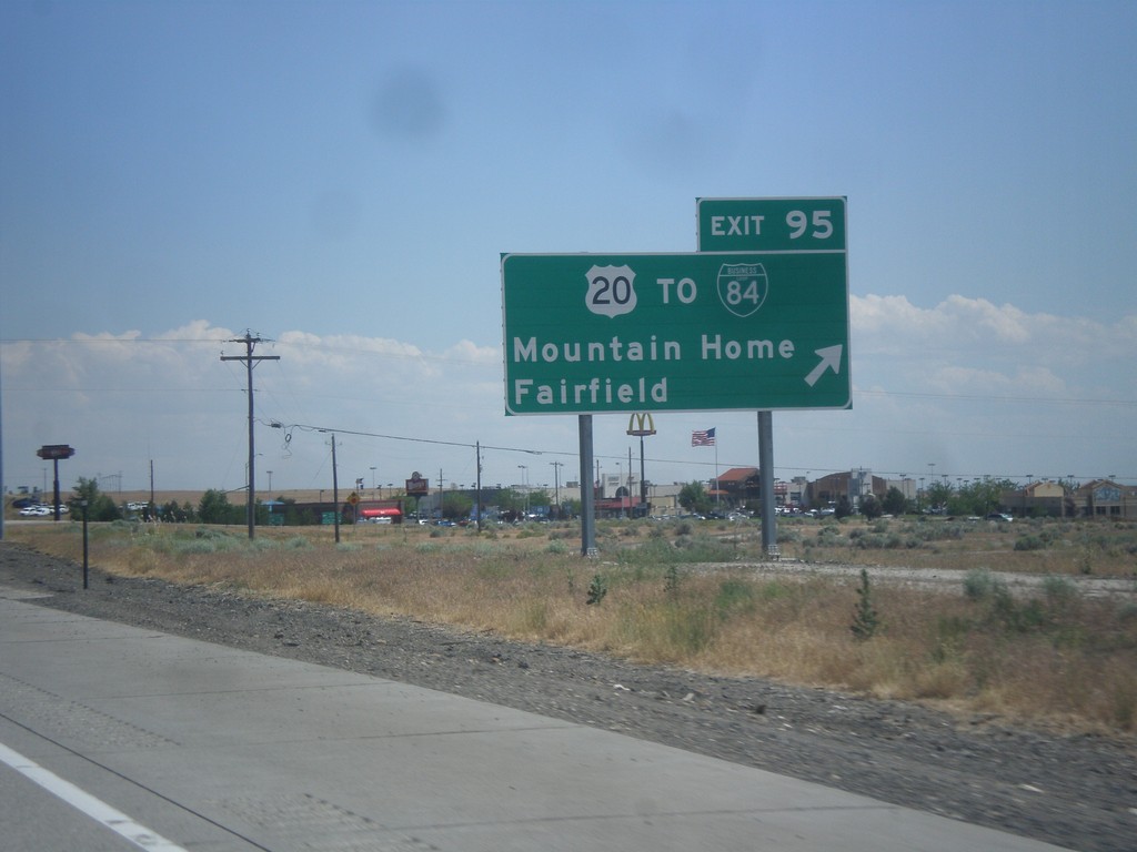
I-84 East - Exit 95
I-84/US-20/US-26/US-30 east at Exit 95 - US-20 East/To BL-84/Mountain Home/Fairfield. It is unclear why this sign lists I-84 with the text TO, because BL-84 joins I-84 at this interchange. US-20 leaves I-84 eastbound.
Taken 06-20-2014


 Mountain Home
Elmore County
Idaho
United States
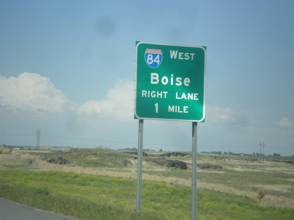
US-93 North Approaching I-84
US-93 north approaching I-84. Use right lanes for I-84 west to Boise.
Taken 05-22-2014

 Jerome
 County
Idaho
United States
Jerome
Jerome County
Idaho
United States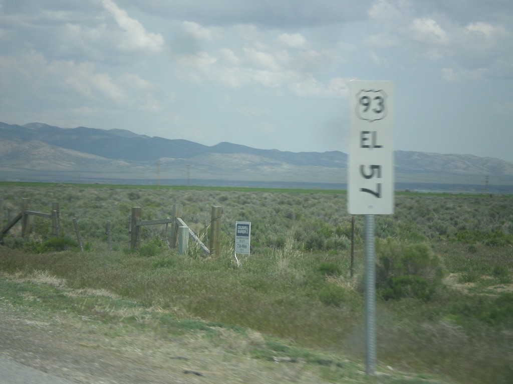
US-93 North - Mile Marker
This is an unusual mile marker on US-93 north in Nevada. Typical mile markers in Nevada are much smaller and do not have a shield outline on them, just a text description of the route. There are two or there on this stretch of road between Wells and Lages Junction.
Taken 05-22-2014
 Wells
Elko County
Nevada
United States
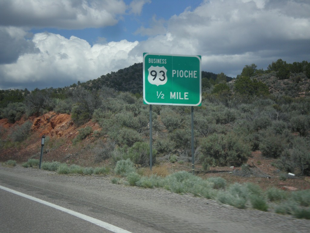
US-93 North Approaching Business US-93
US-93 North Approaching Business US-93 (NV-321) to Pioche.
Taken 05-21-2014


 Pioche
Lincoln County
Nevada
United States
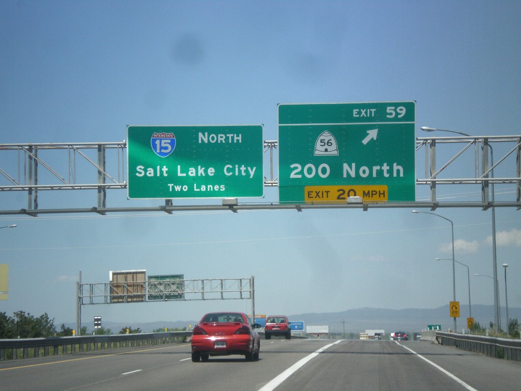
I-15 North - Exit 59
I-15 north at Exit 59 - UT-56/200 North. I-15 continues north towards Salt Lake City.
Taken 05-21-2014

 Cedar City
Iron County
Utah
United States