Signs Tagged With Shield Inside Sign
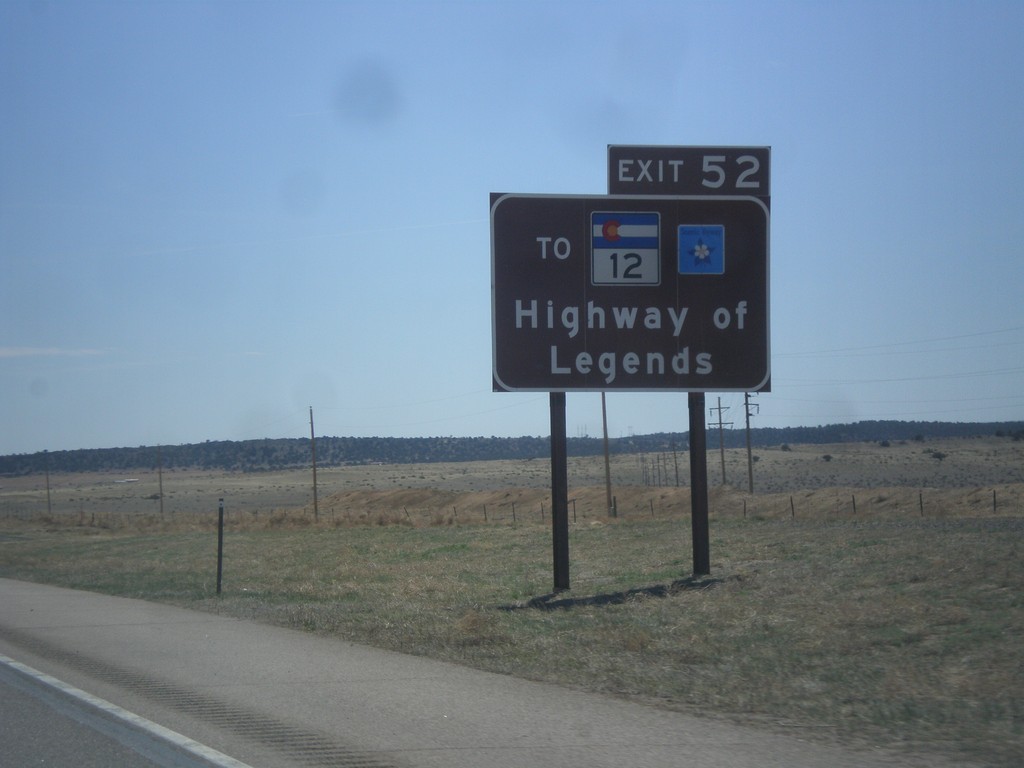
I-25 South Approaching Exit 52
I-25 south approaching Exit 52. Use Exit 52 for CO-12, the Highway of Legends Scenic Byway.
Taken 03-29-2014


 Walsenburg
Huerfano County
Colorado
United States
Walsenburg
Huerfano County
Colorado
United States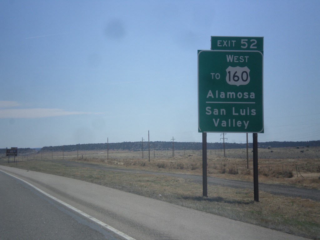
I-25 South - Use Exit 52 For US-160 East
I-25 south approaching Exit 52. Use Exit 52 for US-160 East/Alamosa and the San Luis Valley.
Taken 03-29-2014
 Walsenburg
Huerfano County
Colorado
United States
Walsenburg
Huerfano County
Colorado
United States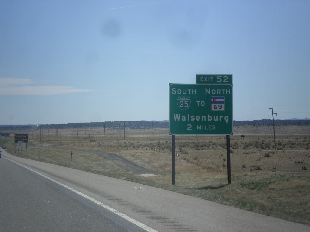
I-25 South - Exit 52
I-25 south approaching Exit 52 - BL-25/To CO-69 North/Walsenburg.
Taken 03-29-2014
 Walsenburg
Huerfano County
Colorado
United States
Walsenburg
Huerfano County
Colorado
United States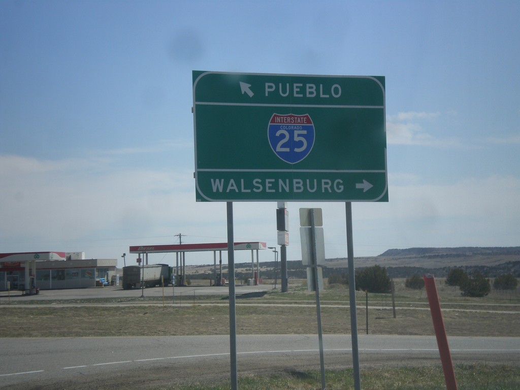
End CO-165 East at I-25
End CO-165 East at I-25. Use I-25 south for Walsenburg; I-25 north for Pueblo.
Taken 03-29-2014
 Pueblo
 County
Colorado
United States
Pueblo
Pueblo County
Colorado
United States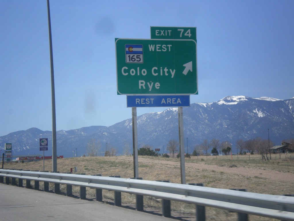
I-25 South - Exit 74
I-25 south at Exit 74 - CO-165/Colorado City/Rye.
Taken 03-29-2014
Pueblo
Pueblo County
Colorado
United States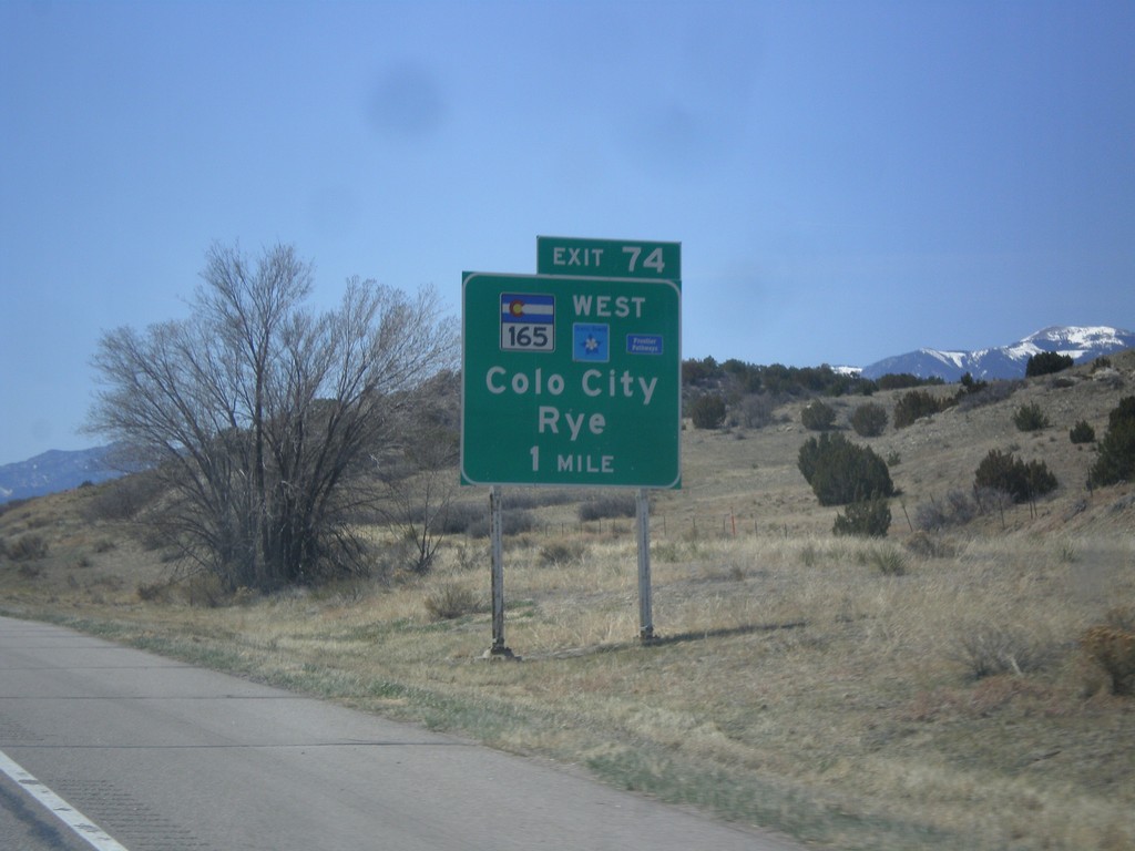
I-25 South Approaching Exit 74
I-25 south approaching Exit 74 - CO-165/Colorado City/Rye. CO-165 is part of the Frontier Pathways Scenic Byway.
Taken 03-29-2014
Pueblo
Pueblo County
Colorado
United States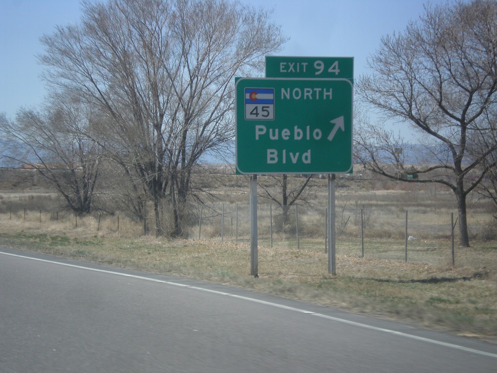
I-25 South - Exit 95
I-25 south at Exit 95 - CO-45 North/Pueblo Blvd. CO-45 is the western beltway around Pueblo.
Taken 03-29-2014
 Pueblo
 County
Colorado
United States
Pueblo
Pueblo County
Colorado
United States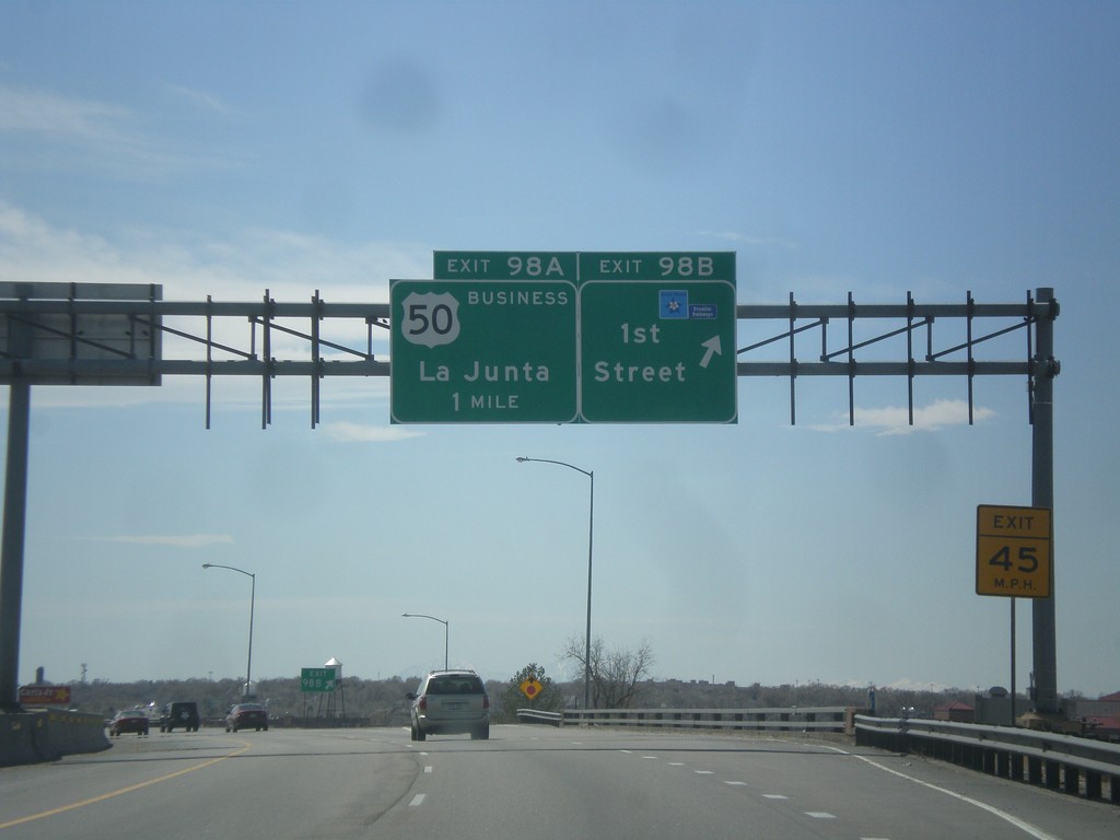
I-25 South - Exit 98B and 98A
I-25 south at Exit 98B - 1st St. Approaching Exit 98A - Business US-50/La Junta. Use 1st St. to access the Frontier Pathways Scenic Byway.
Taken 03-29-2014
 Pueblo
 County
Colorado
United States
Pueblo
Pueblo County
Colorado
United States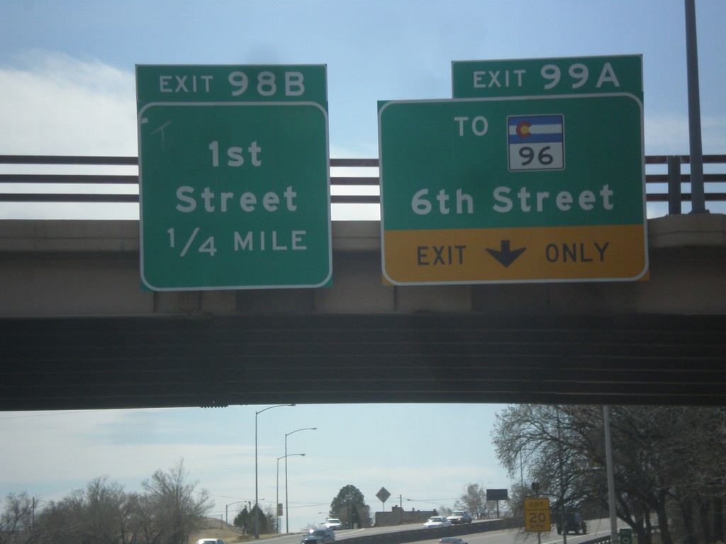
I-25 South - Exits 99A and 98B
I-25 south at Exit 99A - To CO-96/6th St. Approaching Exit 98B - 1st St.
Taken 03-29-2014
 Pueblo
 County
Colorado
United States
Pueblo
Pueblo County
Colorado
United States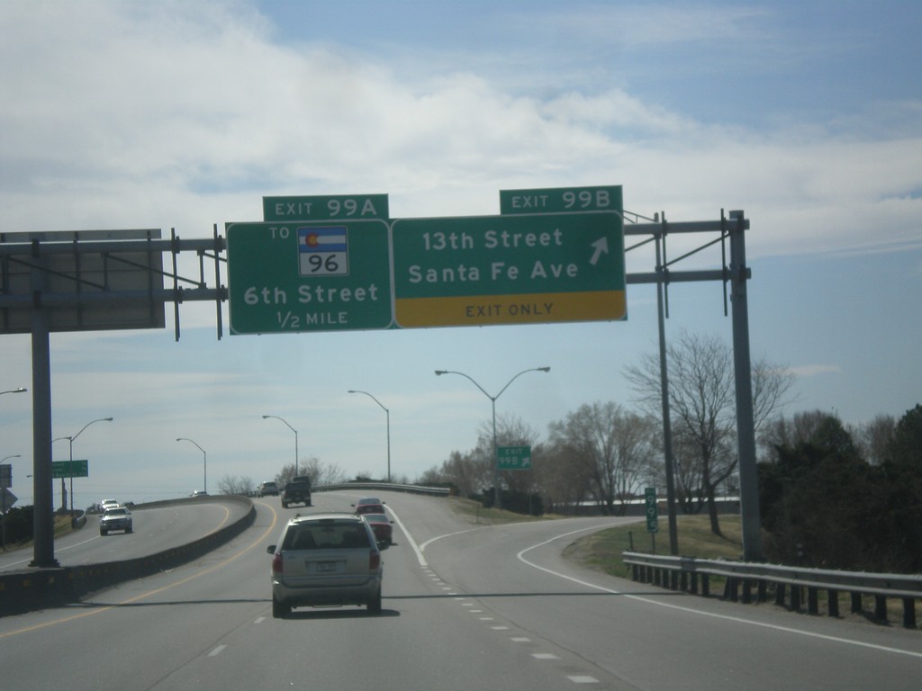
I-25 South - Exits 99A and 99B
I-25 south at Exit 99B - 13th St./Santa Fe Ave. Approaching Exit 99A - To CO-96/6th St.
Taken 03-29-2014
Pueblo
Pueblo County
Colorado
United States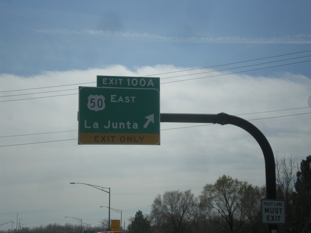
I-25 South - Exit 100A
I-25 south at Exit 100A - US-50 East/La Junta. US-50 leaves I-25 southbound here.
Taken 03-29-2014
 Pueblo
 County
Colorado
United States
Pueblo
Pueblo County
Colorado
United States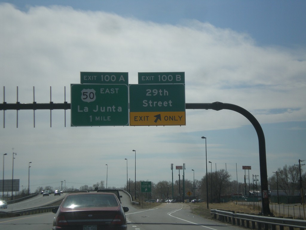
I-25 South - Exits 100B and 100A
I-25 south at Exit 100B - 29th St. Approaching Exit 100A - US-50 East/La Junta.
Taken 03-29-2014
Pueblo
Pueblo County
Colorado
United States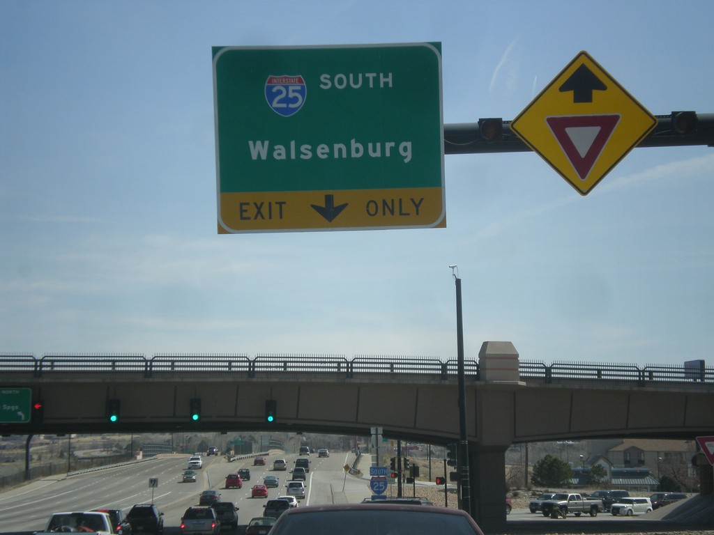
US-50 East at I-25 South
US-50 east at I-25 south to Walsenburg.
Taken 03-29-2014
 Pueblo
 County
Colorado
United States
Pueblo
Pueblo County
Colorado
United States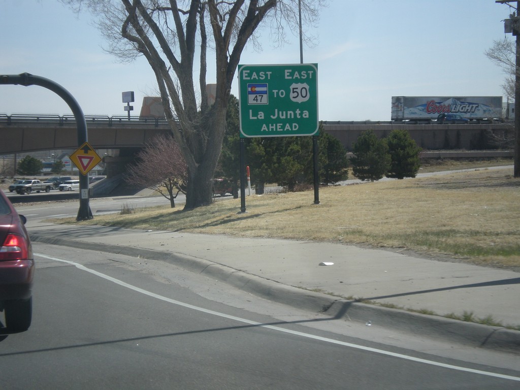
US-50 East at I-25/CO-47
US-50 east at I-25/CO-47. US-50 east continues south briefly on I-25 through Pueblo. An alternate route for US-50 east is to continue straight on CO-47, with loops around to connect with US-50 east.
Taken 03-29-2014
Pueblo
Pueblo County
Colorado
United States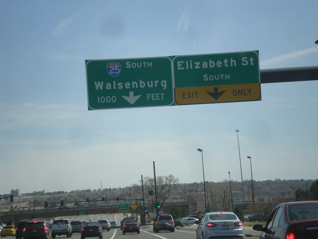
US-50 East Approaching I-25
US-50 east at Elizabeth St. approaching I-25/CO-47 junction in Pueblo. Use I-25 south for Walsenburg.
Taken 03-29-2014
Pueblo
Pueblo County
Colorado
United States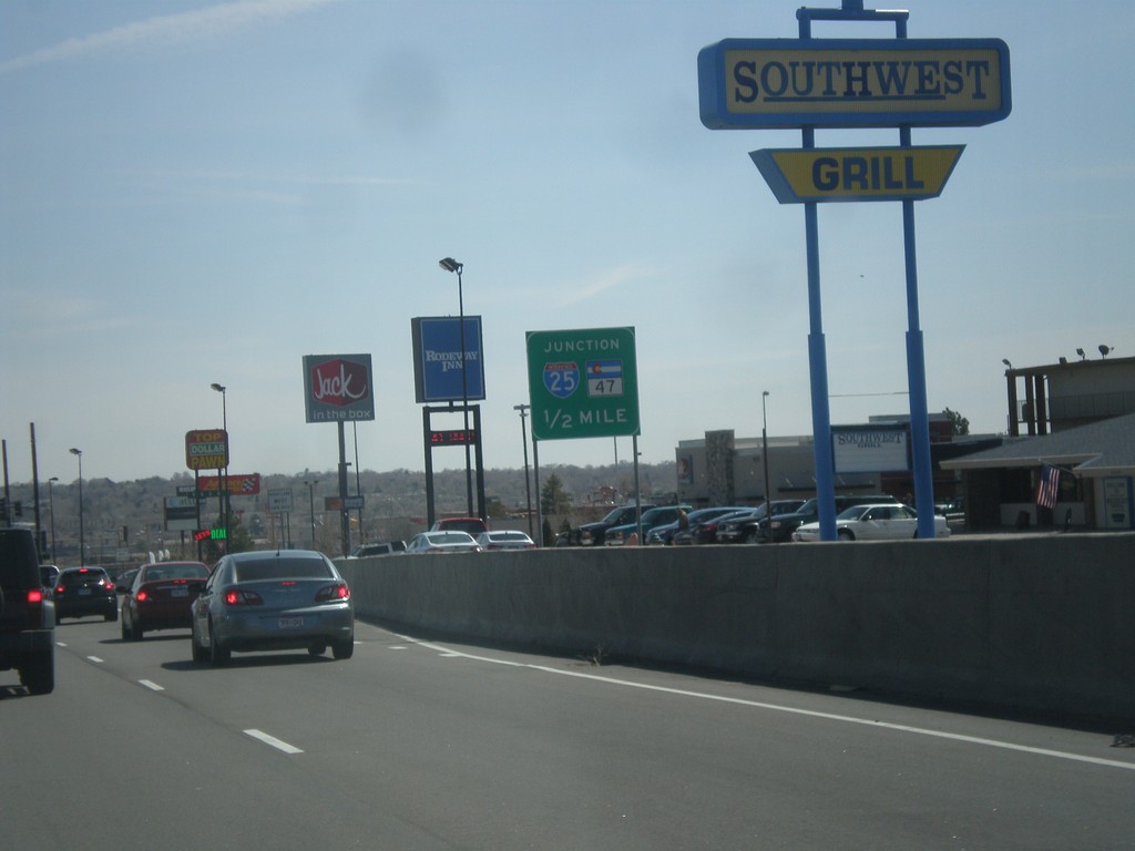
US-50 East Approaching I-25 and CO-47
US-50 East Approaching I-25 and CO-47 in Pueblo. US-50 joins I-25 south briefly through Pueblo.
Taken 03-29-2014
Pueblo
Pueblo County
Colorado
United States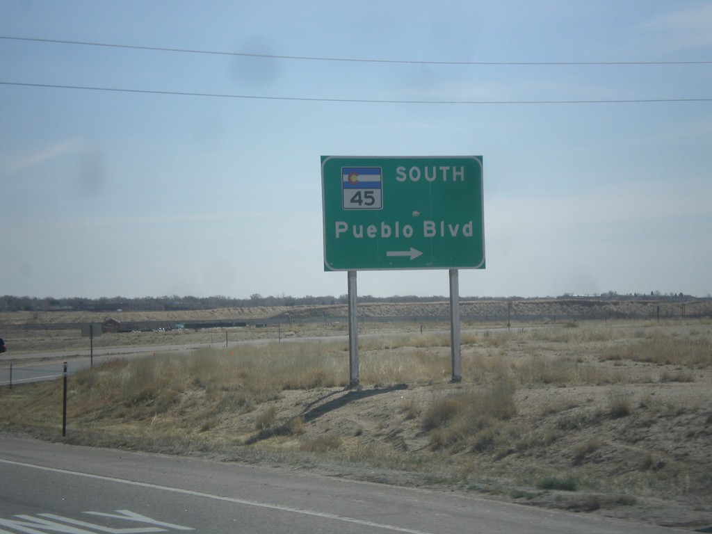
US-50 East at CO-45
US-50 east at CO-45 South/Pueblo Blvd. Pueblo Blvd. is the beltway around the west side of Pueblo.
Taken 03-29-2014
Pueblo
Pueblo County
Colorado
United States
US-50 East at CO-115 Junction
US-50 east at CO-115/Penrose/Colorado Springs interchange.
Taken 03-29-2014
 Penrose
Fremont County
Colorado
United States
Penrose
Fremont County
Colorado
United States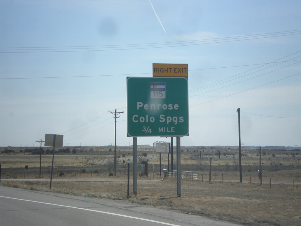
US-50 East Approaching CO-115
US-50 east approaching interchange for CO-115/Penrose/Colorado Springs.
Taken 03-29-2014
Penrose
Fremont County
Colorado
United States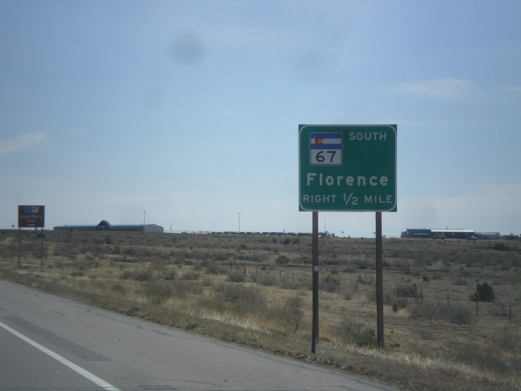
US-50 East Approaching CO-67
US-50 east approaching CO-67 south to Florence.
Taken 03-29-2014
 Penrose
Fremont County
Colorado
United States
Penrose
Fremont County
Colorado
United States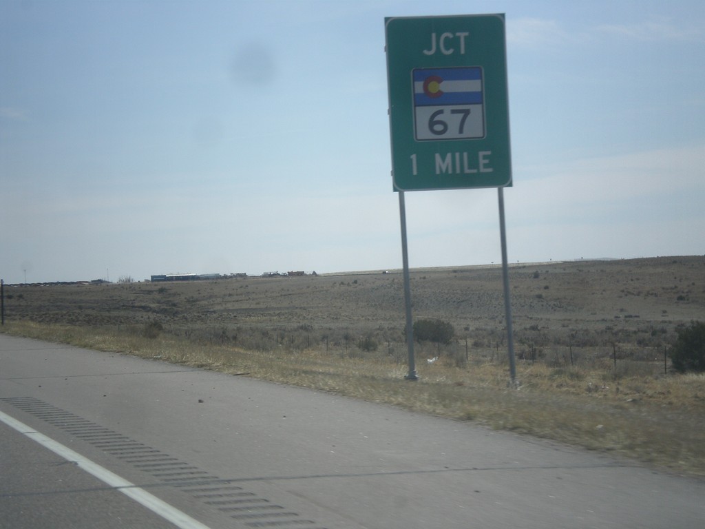
US-50 East Approaching CO-67
US-50 east approaching CO-67 in Fremont County.
Taken 03-29-2014
Penrose
Fremont County
Colorado
United States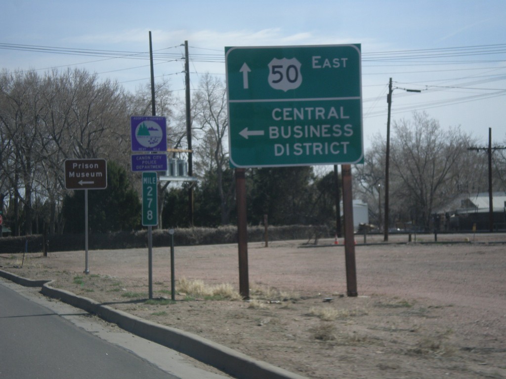
US-50 East - Cañon City Central Business District
US-50 East at 1st St. to (Cañon City) Central Business District.
Taken 03-29-2014
Cañon City
Fremont County
Colorado
United States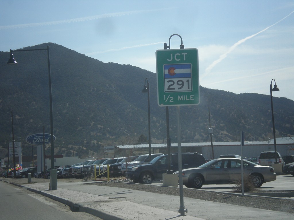
US-50 West Approaching CO-291
US-50 west approaching CO-291 in Salida.
Taken 03-29-2014
 Salida
Chaffee County
Colorado
United States
Salida
Chaffee County
Colorado
United States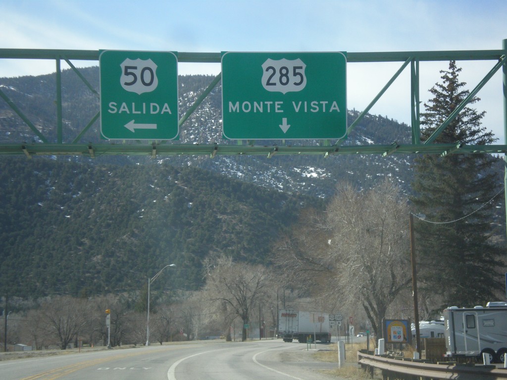
US-50 East/US-285 South at Split
US-50 East/US-285 South at split in Poncha Springs. Merge left for US-50 east to Salida; continue straight for US-285 south to Monte Vista.
Taken 03-29-2014
 Poncha Springs
Chaffee County
Colorado
United States
Poncha Springs
Chaffee County
Colorado
United States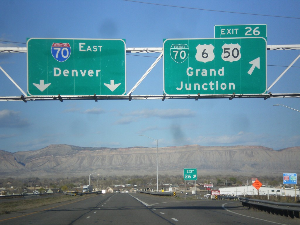
I-70 East - Exit 26
I-70 east at Exit 26 - BL-70/US-6/US-50/Grand Junction. Continue east on I-70 for Denver. This is the eastern end of the Grand Junction business loop. Grand Junction is the largest city in Colorado west of the Rocky Mountains.
Taken 03-28-2014


 Grand Junction
Mesa County
Colorado
United States
Grand Junction
Mesa County
Colorado
United States