Signs Tagged With Interstate Shield with State Name
End WY-430 At WY-376
End WY-430 at WY-376, the Rock Springs Belt Route. Turn right on WY-376 for I-80 east. Turn left on WY-376 for I-80 west.
Taken 08-01-2010


 Rock Springs
Sweetwater County
Wyoming
United States
Rock Springs
Sweetwater County
Wyoming
United States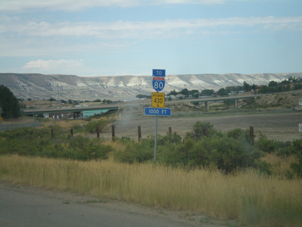
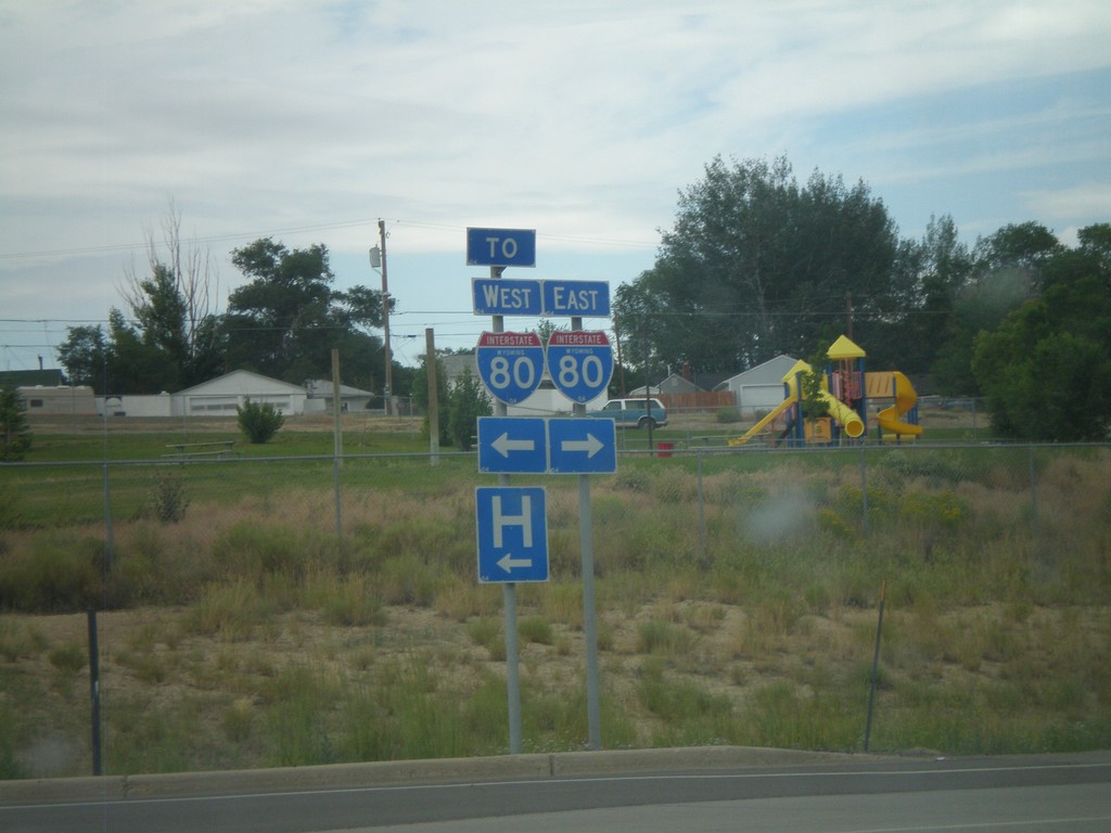
WY-430 North To I-80
WY-430 North (New Hampshire St.) approaching Marchant St. All WY-430 North and I-80 traffic must turn left on Marchant St.
Taken 08-01-2010
Rock Springs
Sweetwater County
Wyoming
United States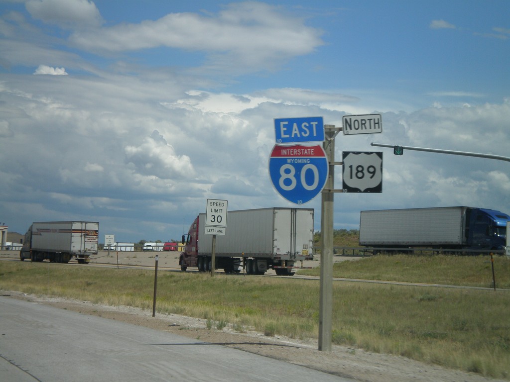
I-80 East/US-189 North
I-80 East/US-189 North at the Utah-Wyoming State Line. The official welcome sign is located after the Wyoming Port of Entry which is located directly on the state line. This is the only indication of the state line.
Taken 07-31-2010
 Evanston
Uinta County
Wyoming
United States
Evanston
Uinta County
Wyoming
United States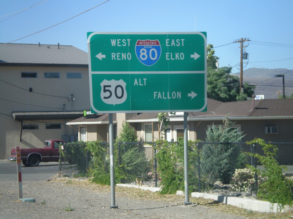
Alt. US-95 North at Alt. US-50/BL-80/NV-427
Alt. US-95 north at Alt. US-50/BL-80 east to Fallon and Elko and BL-80/NV-427 west to Reno.
Taken 07-12-2010


 Fernley
Lyon County
Nevada
United States
Fernley
Lyon County
Nevada
United States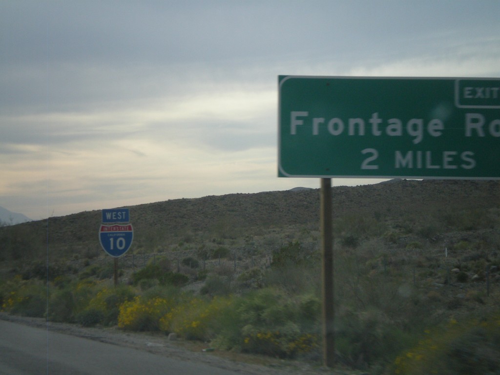
I-10 West Approaching Exit 162
I-10 west approaching Exit 162 - Frontage Road.
Taken 03-22-2010
 Cactus City
Riverside County
California
United States
Cactus City
Riverside County
California
United States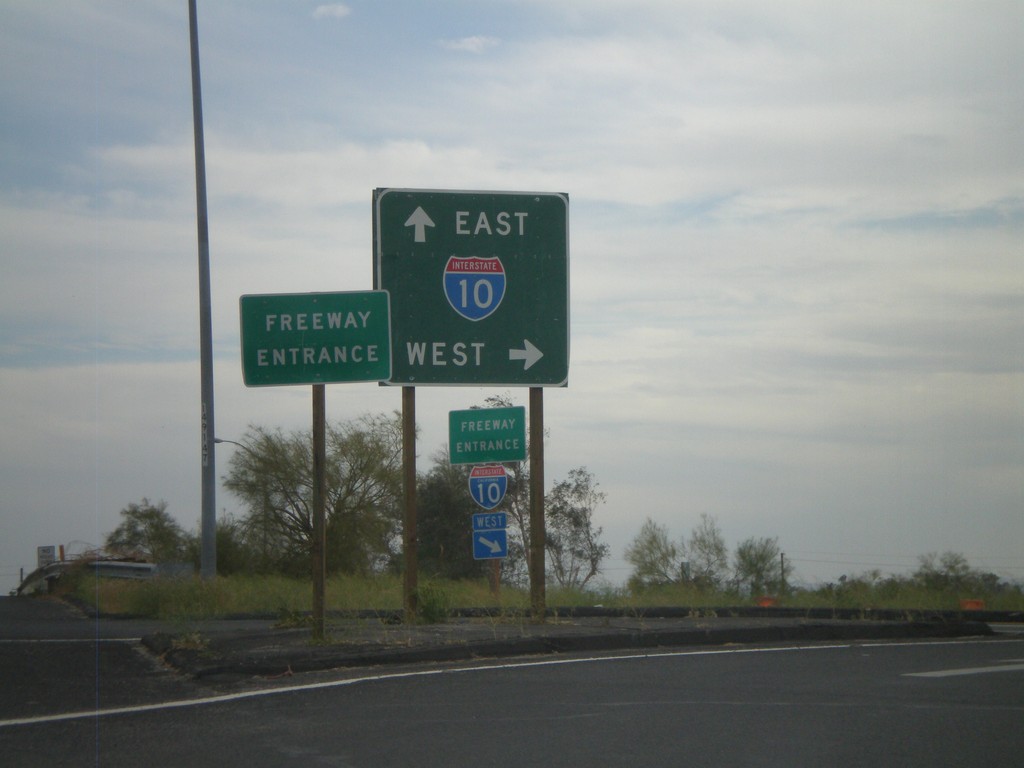
Neighbors Blvd. South at I-10
Neighbors Blvd. south at I-10. BL-10 ends here and CA-78 begins.
Taken 03-22-2010

 Blythe
Riverside County
California
United States
Blythe
Riverside County
California
United States
I-10 West/US-95 North
I-10 west/US-95 north. Taken west of Quartzsite.
Taken 03-22-2010
 Quartzsite
La Paz County
Arizona
United States
Quartzsite
La Paz County
Arizona
United States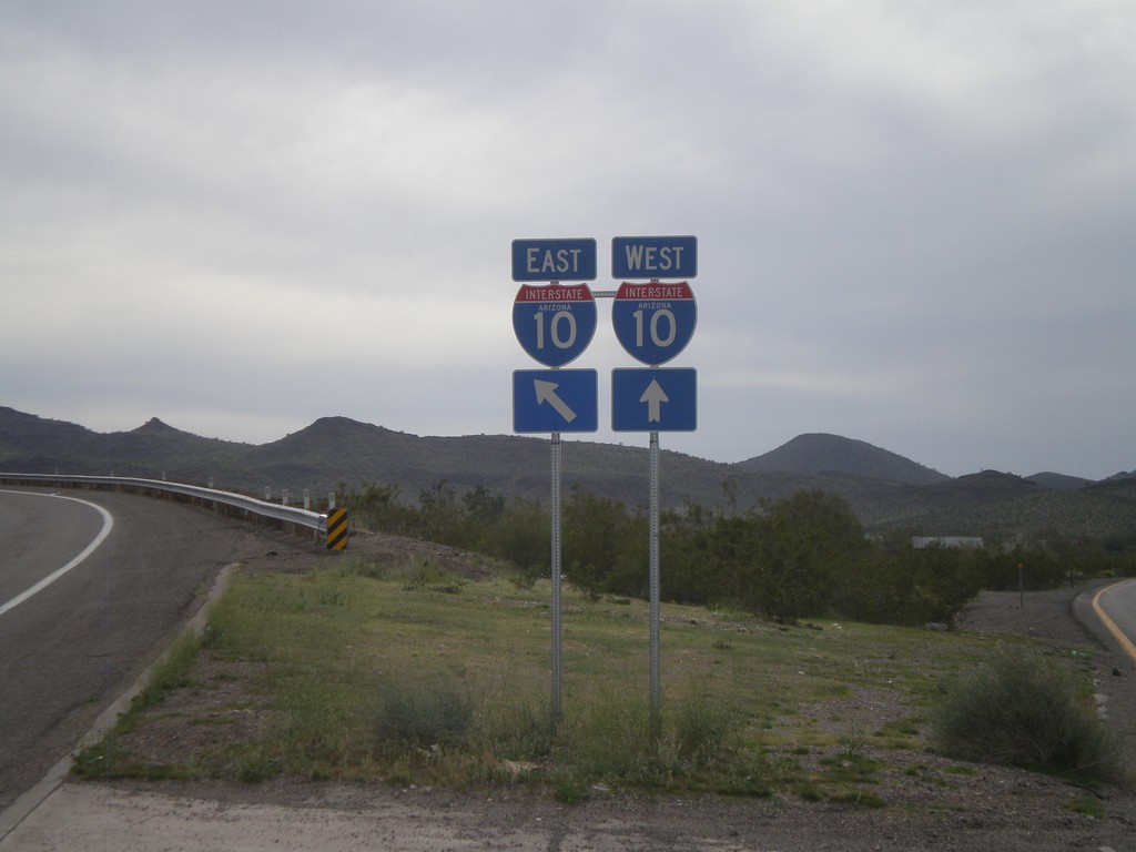
End US-60 West at I-10
End US-60 west at I-10 Exit 31 onramp.
Taken 03-22-2010
 Brenda
La Paz County
Arizona
United States
Brenda
La Paz County
Arizona
United States
US-60 West Approaching Navajo St.
US-60 west approaching Navajo St. (to Salome Road). For I-10 east traffic turn left on Navajo St. For I-10 west traffic continue west on US-60.
Taken 03-22-2010
Salome
La Paz County
Arizona
United States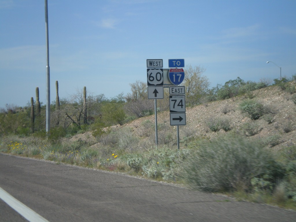
US-60 West at AZ-74/To I-17
US-60 west at AZ-74 East/To I-17. Use AZ-74 east to connect to I-17 at the north edge of the Phoenix Metro. area.
Taken 03-22-2010

 Morristown
Maricopa County
Arizona
United States
Morristown
Maricopa County
Arizona
United States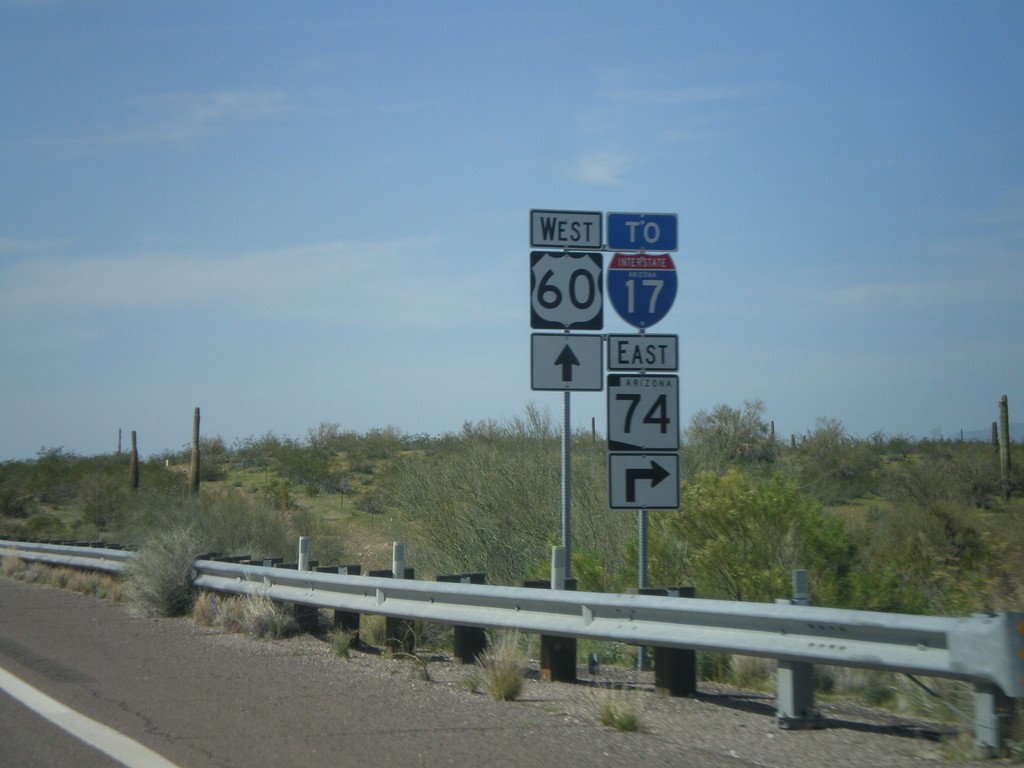
US-60 West Approaching AZ-74
US-60 west approaching AZ-74, To I-17. AZ-74 cuts across the north end of the Phoenix Metropolitan Area between US-60 on the west to I-17 on the east.
Taken 03-22-2010
Morristown
Maricopa County
Arizona
United States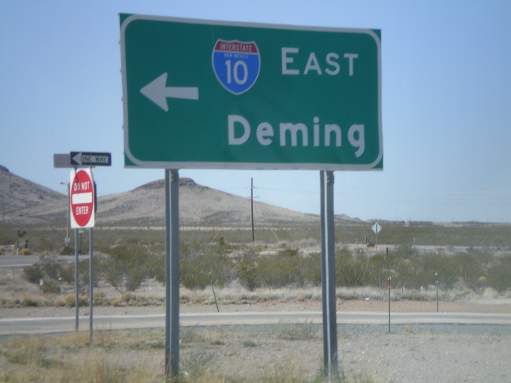
BL-10 West at I-10 East to Deming
BL-10 west at I-10 east to Deming.
Taken 03-21-2010
Lordsburg
Hidalgo County
New Mexico
United States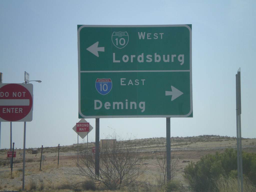
Rest Area Access Road at BL-10
New Mexico Rest Area access road at BL-10. Turn right for I-10 East to Deming. Turn left for BL-10 east into Lordsburg.
Taken 03-21-2010
Lordsburg
Hidalgo County
New Mexico
United States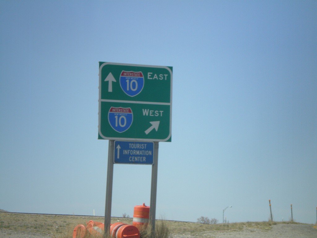
BL-10 West at I-10
BL-10 west at I-10 West. Head over the overpass for I-10 east.
Taken 03-21-2010
Virden
Hidalgo County
New Mexico
United States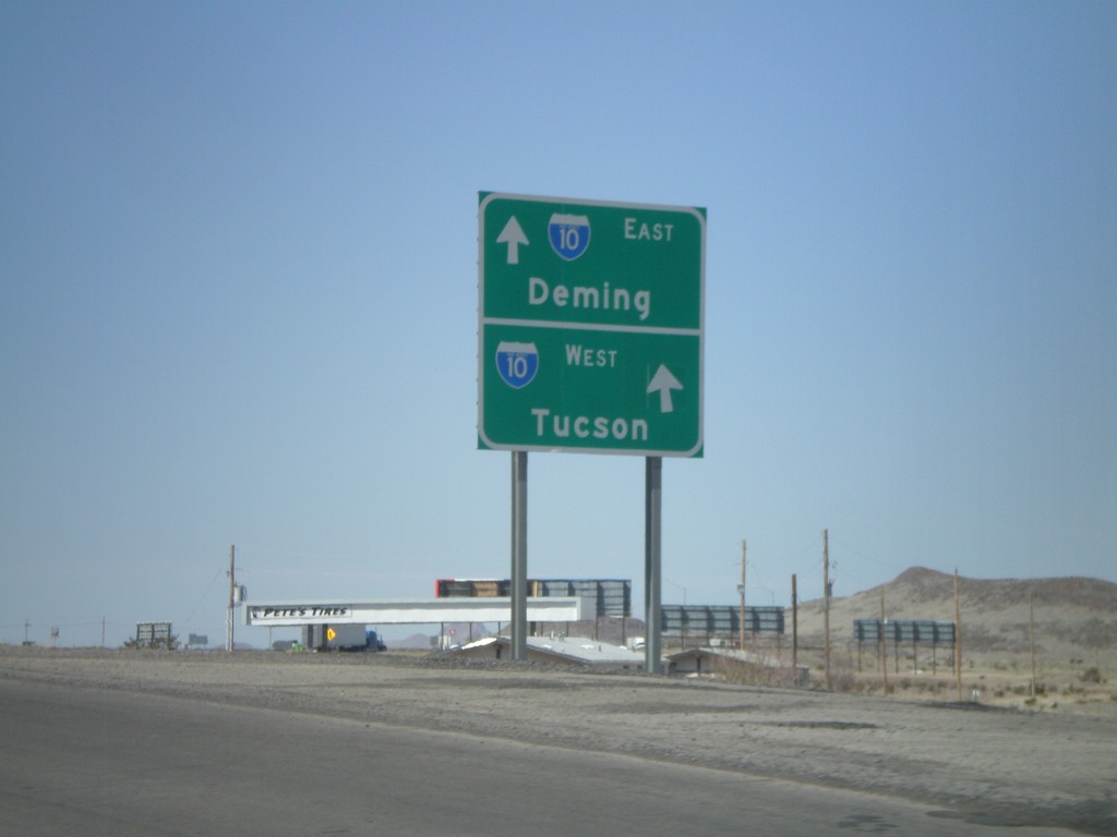
BL-10 West Approaching I-10
BL-10 west approaching I-10. Use I-10 west for Tucson. Use I-10 east for Deming.
Taken 03-21-2010
Lordsburg
Hidalgo County
New Mexico
United States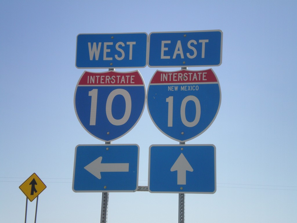
I-10 Onramp at Exit 3
I-10 onramp at Exit 3. One of the I-10 shields as the state name in it.
Taken 03-21-2010
Steins
Hidalgo County
New Mexico
United States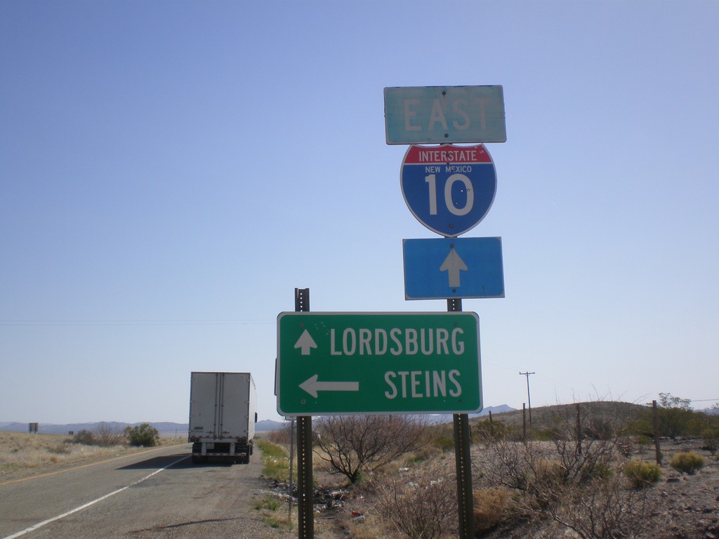
I-10 East at Exit 3 Offramp
I-10 east at Exit 3 offramp. Turn left for Steins. Continue ahead for I-10 east to Lordsburg.
Taken 03-21-2010
Road Forks
Hidalgo County
New Mexico
United States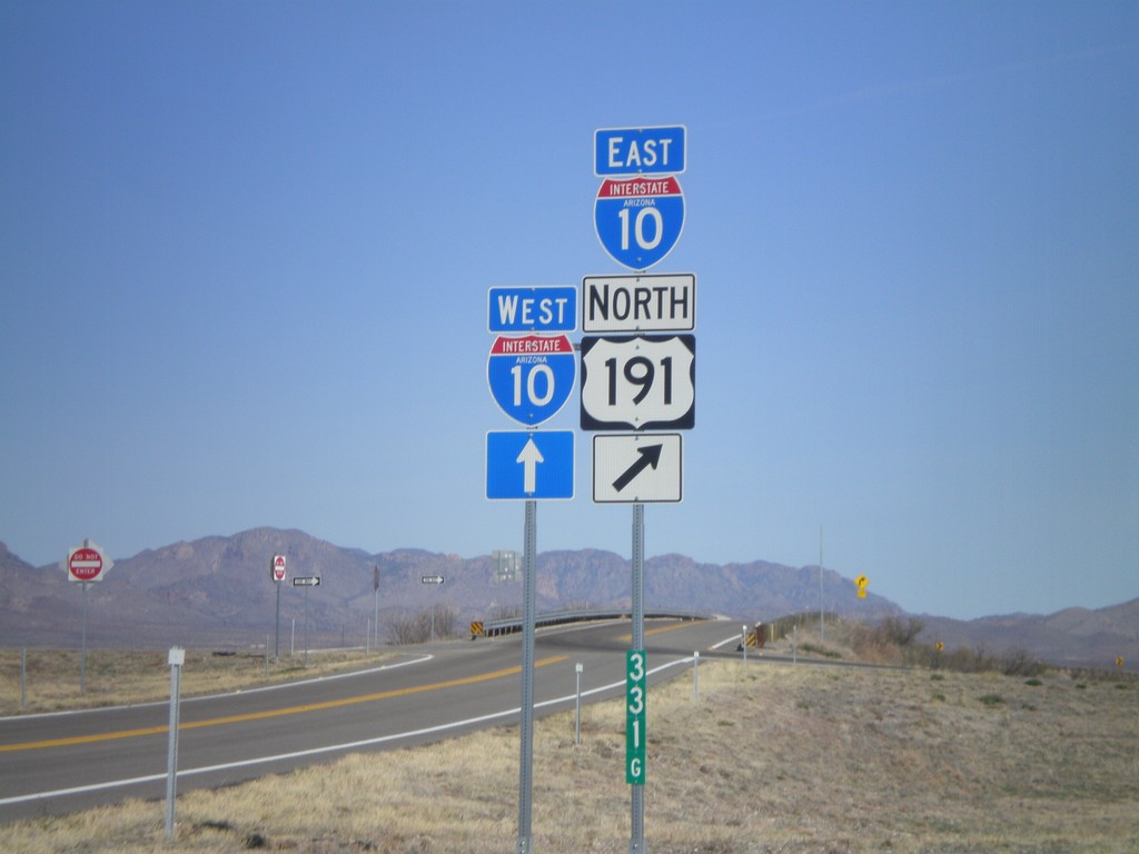
US-191 North at I-10
US-191 north at I-10, Exit 331 onramp. US-191 joins I-10 eastbound.
Taken 03-21-2010
 Cochise
 County
Arizona
United States
Cochise
Cochise County
Arizona
United States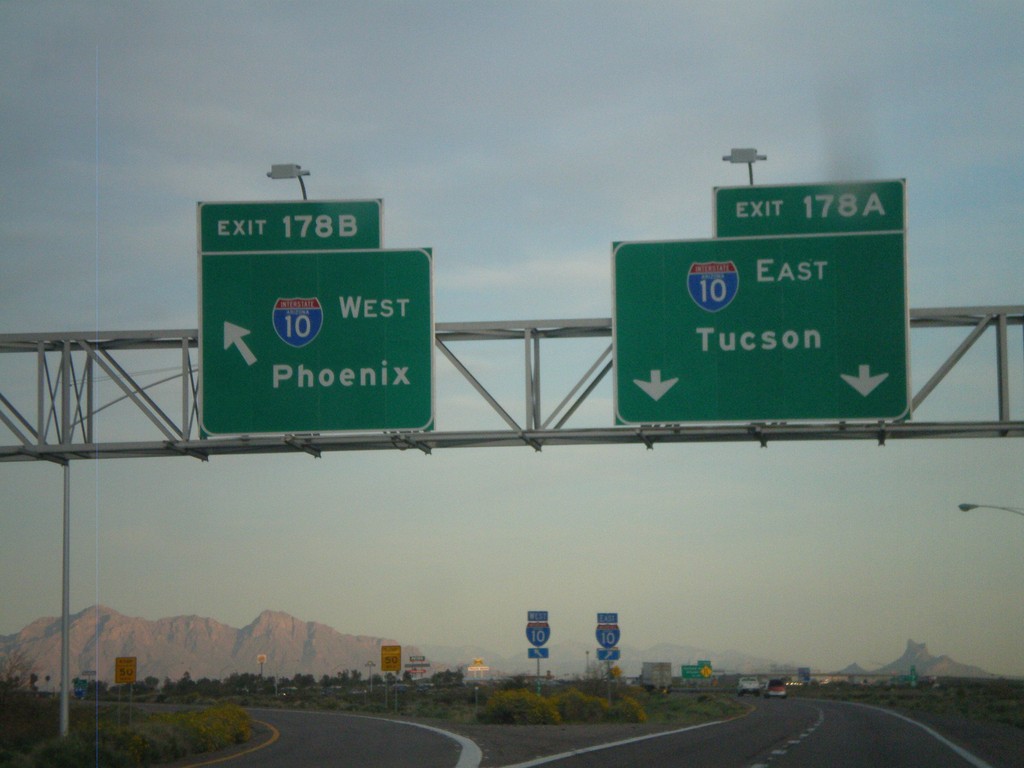
End I-8 East at I-10
End I-8 east at I-10. Exit 178A - I-10 East/Tucson. Exit 178B - I-10 West/Phoenix.
Taken 03-20-2010
 Casa Grande
Pinal County
Arizona
United States
Casa Grande
Pinal County
Arizona
United States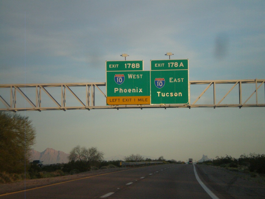
I-8 East Approaching Exit 178A and 178B
I-8 east approaching Exit 178A - I-10 East/Tucson and Exit 178B - I-10 West/Phoenix.
Taken 03-20-2010
Casa Grande
Pinal County
Arizona
United States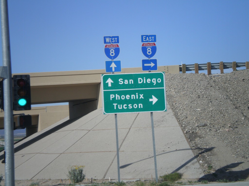
AZ-280 North at I-8
AZ-280 north at I-8. Use I-8 west for San Diego. Use I-8 east for Phoenix and Tucson.
Taken 03-20-2010
 Yuma
Yuma County
Arizona
United States
Yuma
Yuma County
Arizona
United States
I-80 East Onramp at Exit 180
Donner Lake Road at I-80 east Exit 180 onramp (Donner Lake).
Taken 10-04-2009
Truckee
Nevada County
California
United States
CA-20 East Approaching I-5
CA-20 east approaching I-5
Taken 09-25-2009

 Williams
Colusa County
California
United States
Williams
Colusa County
California
United States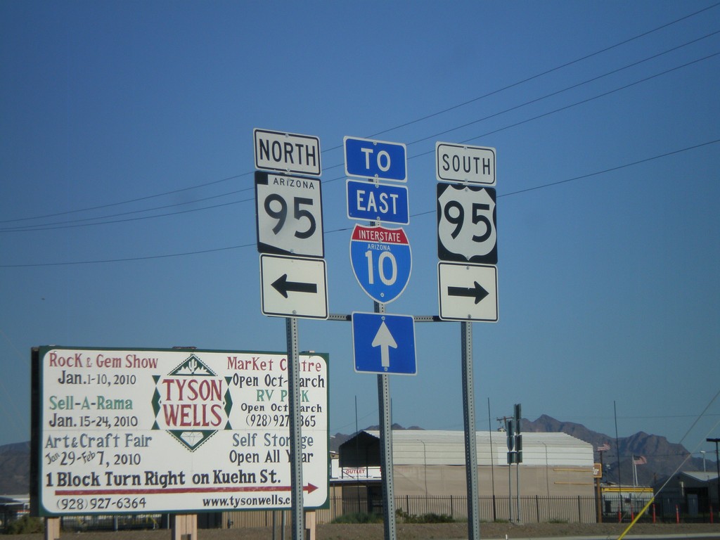
US-95 South at AZ-95
US-95 south at AZ-95.
Taken 03-23-2009
 Quartzsite
La Paz County
Arizona
United States
Quartzsite
La Paz County
Arizona
United States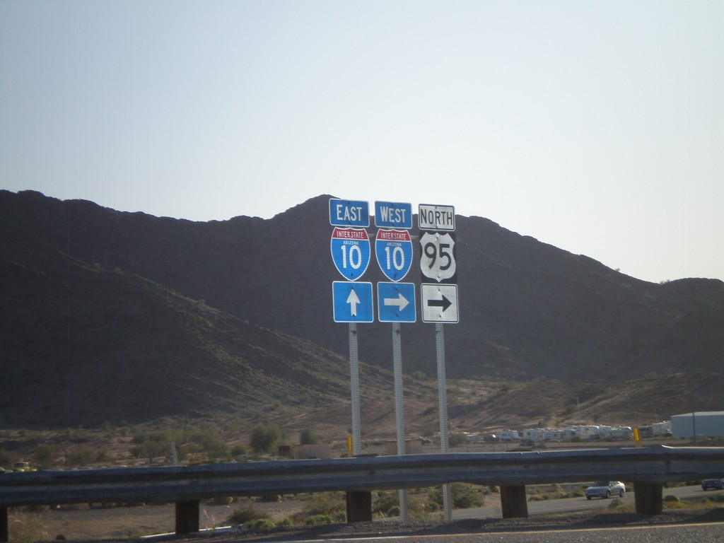
US-95 North at I-10 (Exit 17)
US-95 north at I-10. US-95 joins I-10 west to Blythe, CA.
Taken 03-23-2009
Quartzsite
La Paz County
Arizona
United States