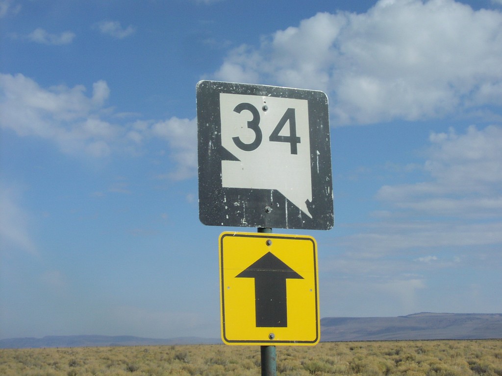
Signs Tagged With Old Shield
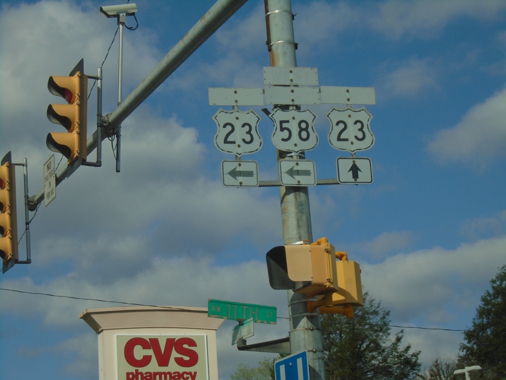
Bus. US-23 South (Park Ave) at 11th St.
Bus. US-23 South (Park Ave) at 11th St in Norton. Sign assembly contains old cut-out style shields for Bus. US-23, US-23, and Alt. US-58. The banners on the signs are faded. Turn left on 11th St. for access to US-23 and Alt. US-58. Continue straight on Park Ave. for Bus. US-23 South
Taken 03-31-2024


 Norton
Virginia
United States
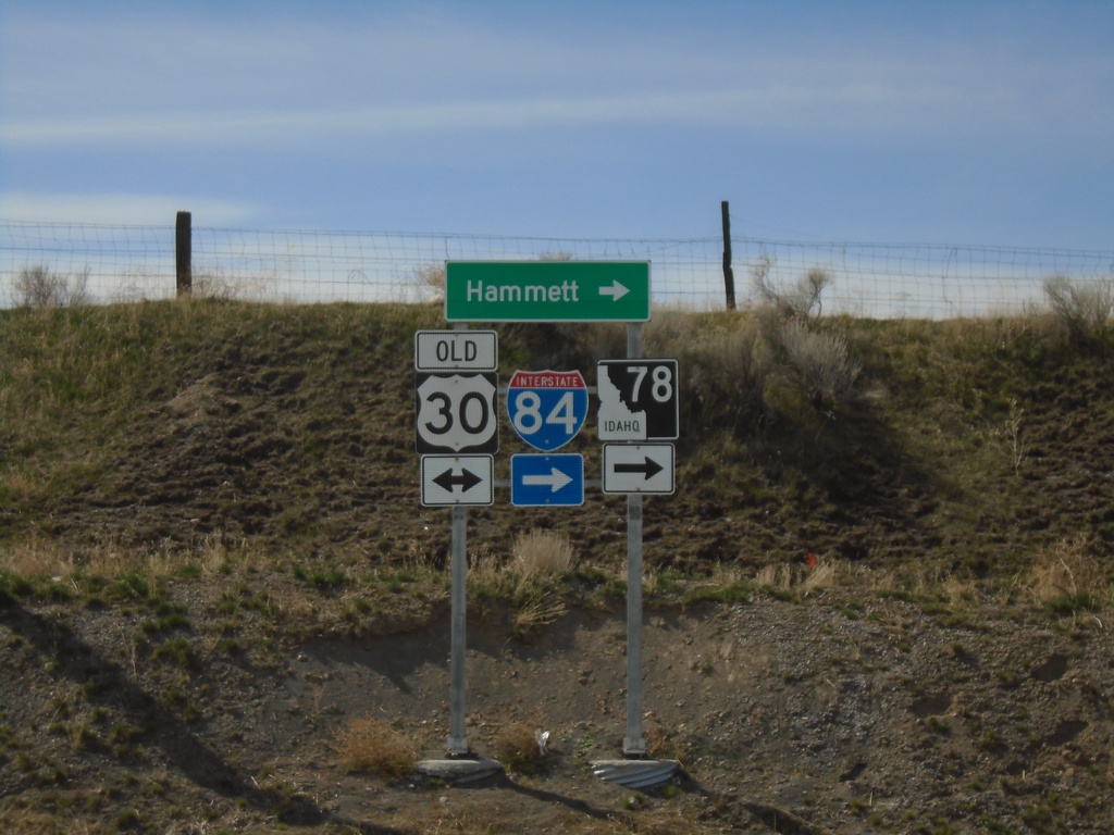
Cold Springs Road at Old US-30
Cold Springs Road at Old US-30. Turn right for ID-78, I-84, and Hammett.
Taken 04-04-2020

 Hammett
Elmore County
Idaho
United States
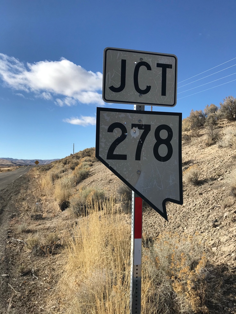
Bush St. West at NV-278
Bush St. West at NV-278 in Carlin. This is an unusual cutout style Nevada state highway shield, that looks more like the style on guide signs.
Taken 10-20-2019
 Carlin
Elko County
Nevada
United States
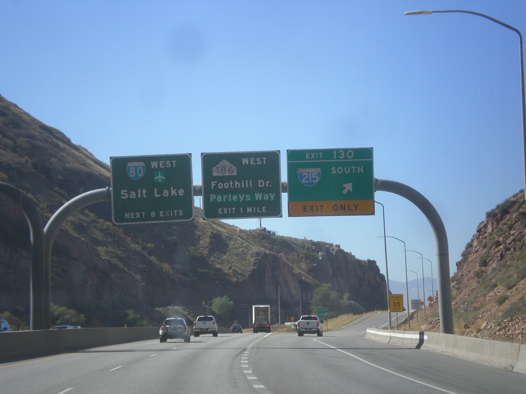
I-80 West - Exits 130 and 129
I-80 west at Exit 130 - I-215 South. Approaching Exit 129 - UT-186/Foothill Drive/Parleys Way. Next 8 exits on I-80 west are for Salt Lake. The UT-186 shield is an old style Utah state highway shield.
Taken 10-09-2016


 Salt Lake City
Salt Lake County
Utah
United States
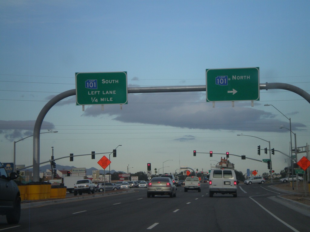
US-60 West at AZ-101 Loop
US-60 west at AZ-101 Loop. Turn right for AZ-101 Loop north. Continue ahead for AZ-101 Loop south. The AZ-101 Loop shields are blue here, although new AZ-101 Loop signs are traditional black and white.
Taken 02-25-2011

 Peoria
Maricopa County
Arizona
United States
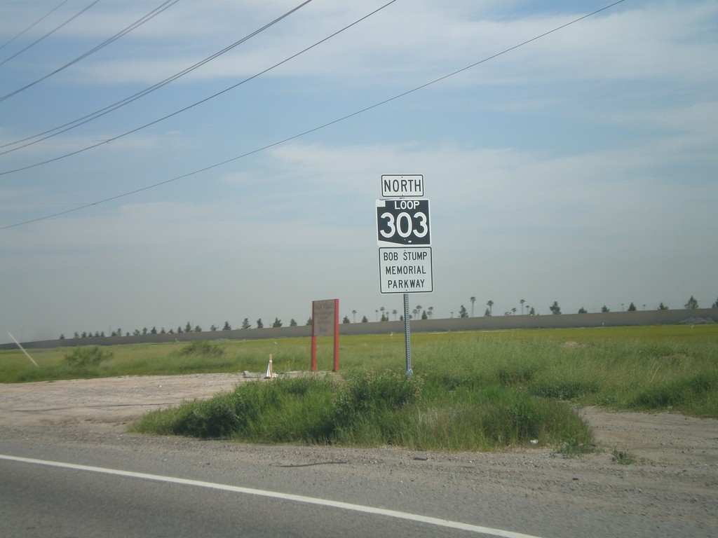
AZ-303 Loop North
AZ-303 Loop North - Bob Stump Memorial Parkway. AZ-303 Loop shield is signed with the old white on black style.
Taken 03-22-2010
 Goodyear
Maricopa County
Arizona
United States
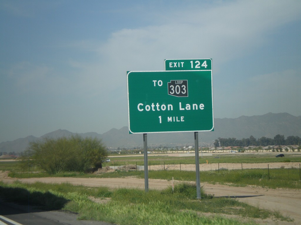
I-10 West Approaching Exit 124
I-10 west approaching Exit 124 - To AZ-303 Loop/Cotton Lane. The AZ-303 Loop shield is black here. All of the Arizona Loop shields had different colors, but they have since been standardized to just black and white.
Taken 03-22-2010

 Goodyear
Maricopa County
Arizona
United States
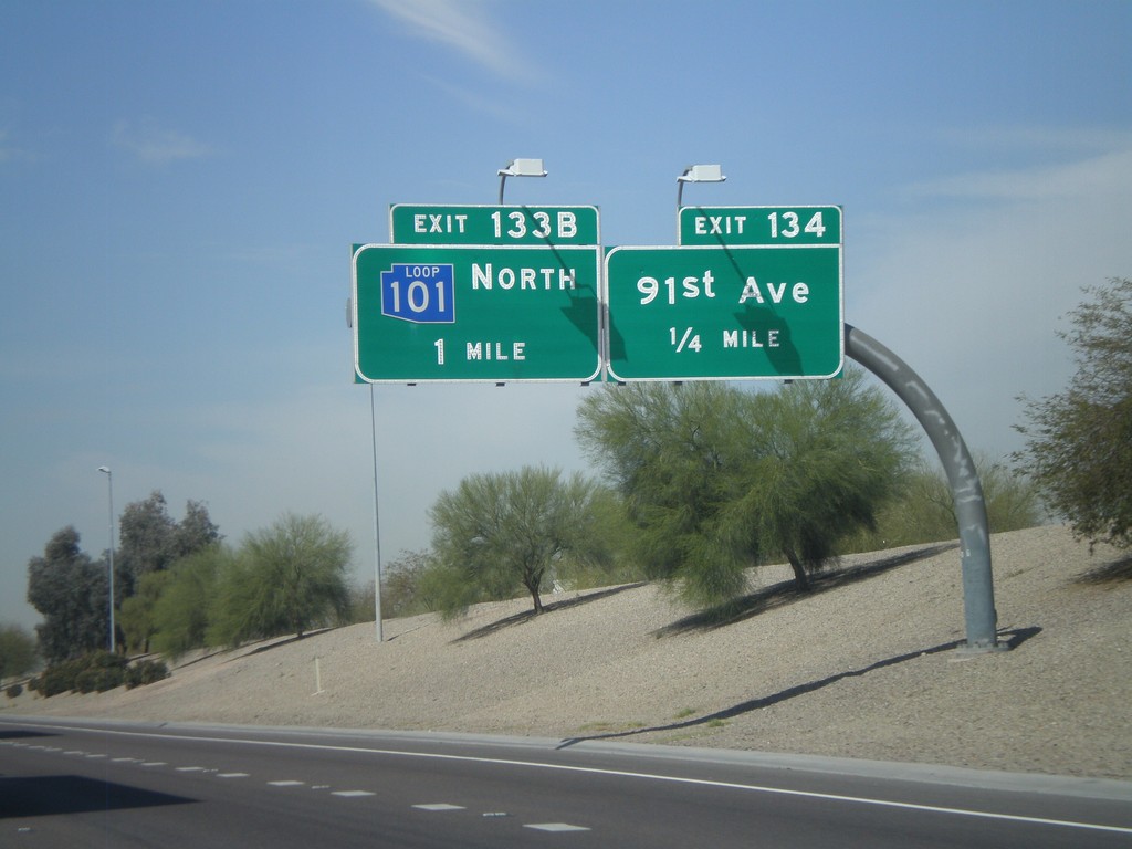
I-10 West Approaching Exits 134 and 133B
I-10 west approaching Exit 134 - 91st Ave. Also approaching Exit 133B - AZ-101 Loop North. This AZ-101 Loop sign is in blue. The three loop highways in the Phoenix area all were signed with different colors. All new signs are posted in black and white.
Taken 03-22-2010

 Tolleson
Maricopa County
Arizona
United States
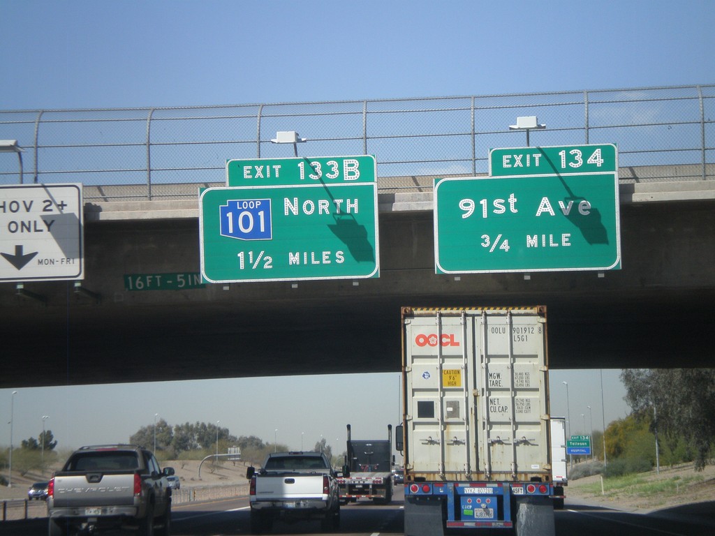
I-10 West Approaching Exits 134 and 133B
I-10 west approaching Exit 134 - 91st Ave, and Exit 133B - AZ-101 Loop North. AZ-101 Loop shield is blue here.
Taken 03-22-2010

 Peoria
Maricopa County
Arizona
United States
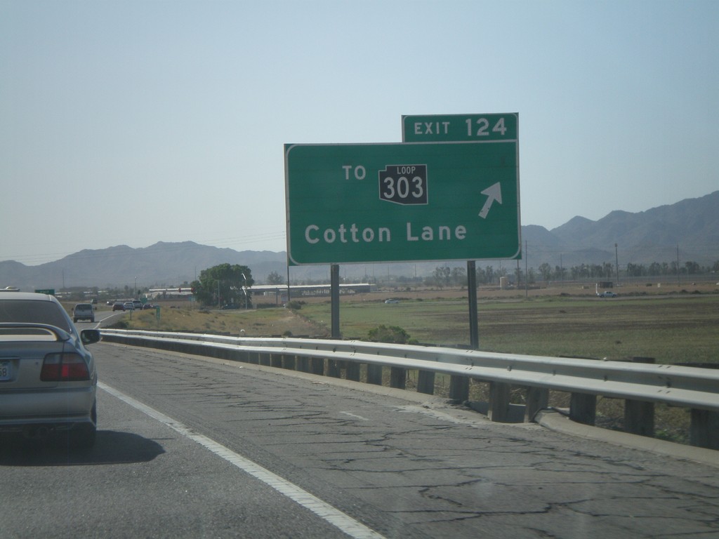
I-10 West - Exit 124
I-10 west at Exit 124 - To AZ-303 Loop/Cotton Lane. AZ-303 is the outermost of the three Phoenix beltways. Each of the three loops has a different color for the shield, although the newer signs just use white. The AZ-303 Loop shield is black.
Taken 03-23-2009

 Goodyear
Maricopa County
Arizona
United States
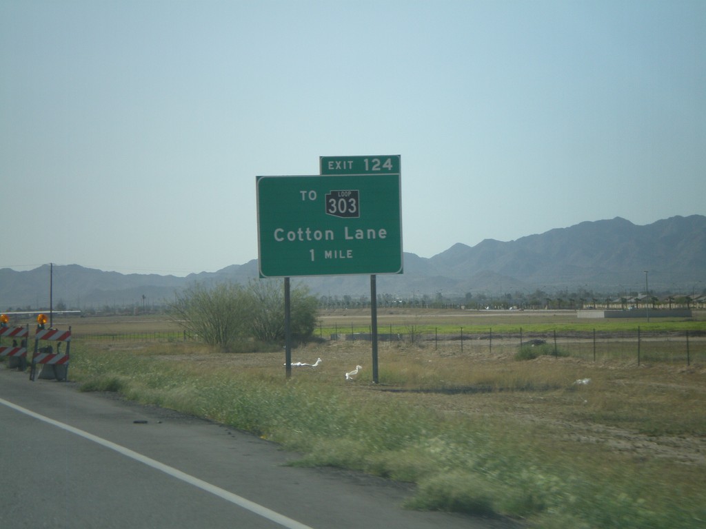
I-10 West Approaching Exit 124
I-10 west approaching Exit 124 - To AZ-303 Loop/Cotton Lane.
Taken 03-23-2009

 Goodyear
Maricopa County
Arizona
United States
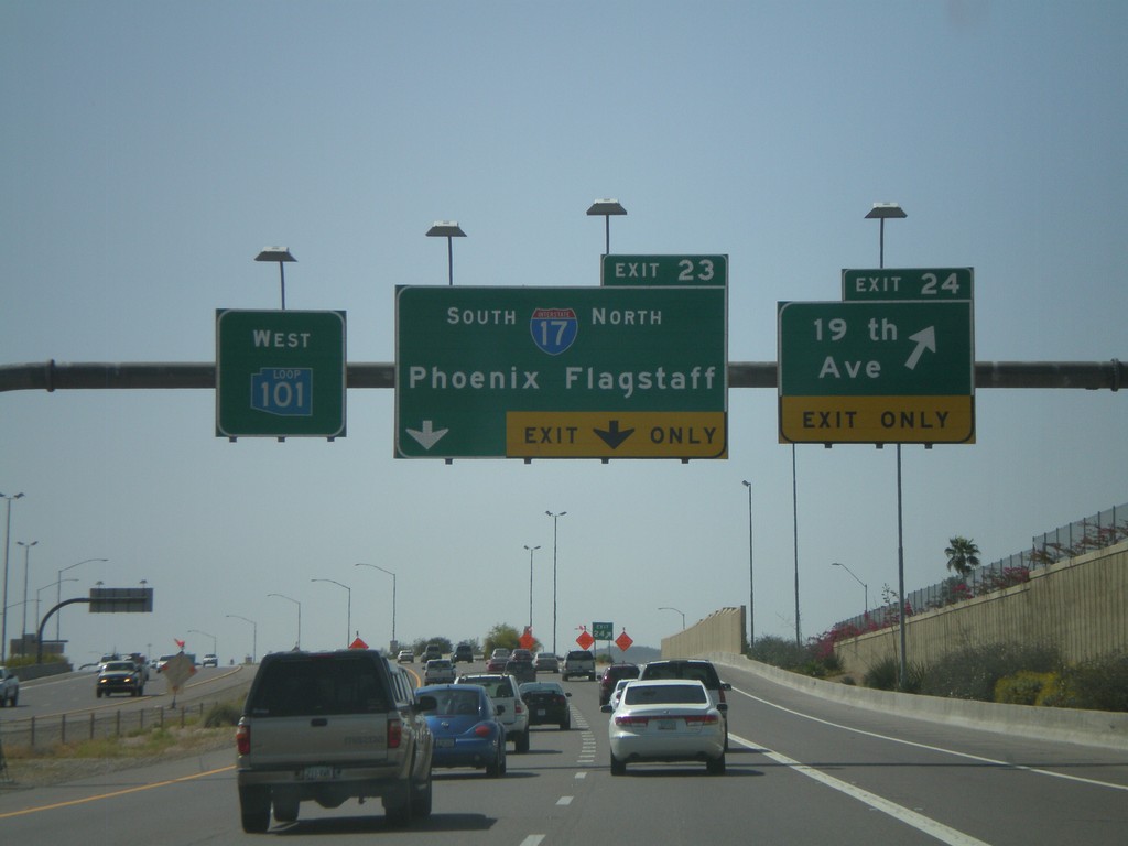
AZ-101 West - Exit 23 and Exit 24
AZ-101 Loop West at Exit 24 - 19th Ave. Approaching Exit 23 - I-17/Phoenix/Flagstaff. All of the loop highways around Phoenix have different color shields on the older signs. AZ-101 Loop has a blue shield.
Taken 03-23-2009

 Phoenix
Maricopa County
Arizona
United States
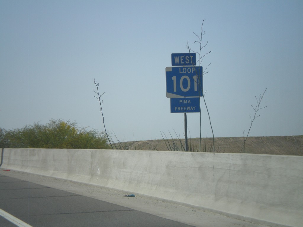
AZ-101 West - Pima Freeway
AZ-101 Loop West - Pima Freeway
Taken 03-23-2009
 Phoenix
Maricopa County
Arizona
United States
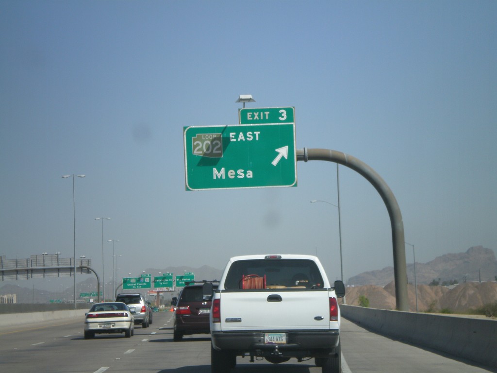
AZ-143 North - Exit 3
AZ-143 north at Exit 3 - AZ-202 Loop/Mesa. All of the loop roads in the Phoenix area have different color shields. AZ-202 Loop has a brown shield.
Taken 03-23-2009

 Tempe
Maricopa County
Arizona
United States
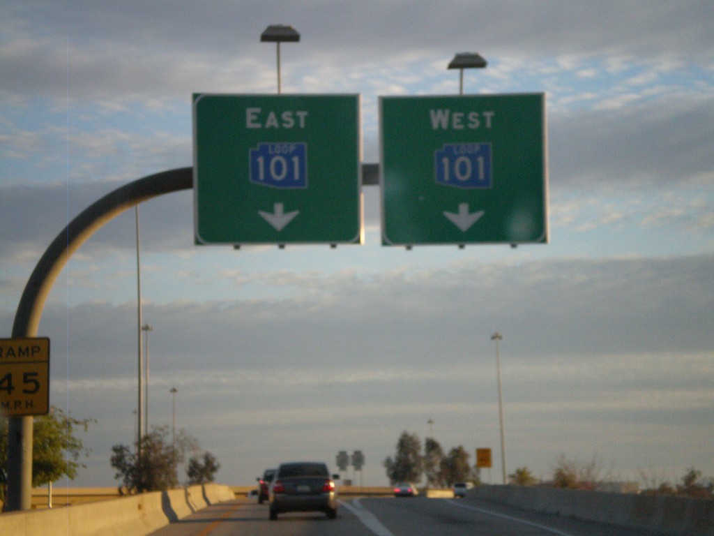
Blue AZ-101 Loop On I-17 South Exit 214C
I-17 South at Exit 214C offramp. Use right lanes for AZ-101 Loop West
Taken 03-21-2009

 Phoenix
Maricopa County
Arizona
United States
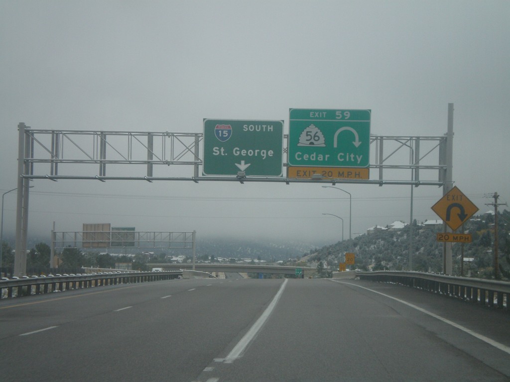
I-15 South - Exit 59
I-15 south at Exit 59 - UT-56/Cedar City. I-15 continues south to St. George.
Taken 10-12-2008

 Cedar City
Iron County
Utah
United States
US-93 (Cutout) South of Majors Jct.
US-93 South cutout shield at Majors Junction.
Taken 10-11-2008


 Ely
White Pine County
Nevada
United States
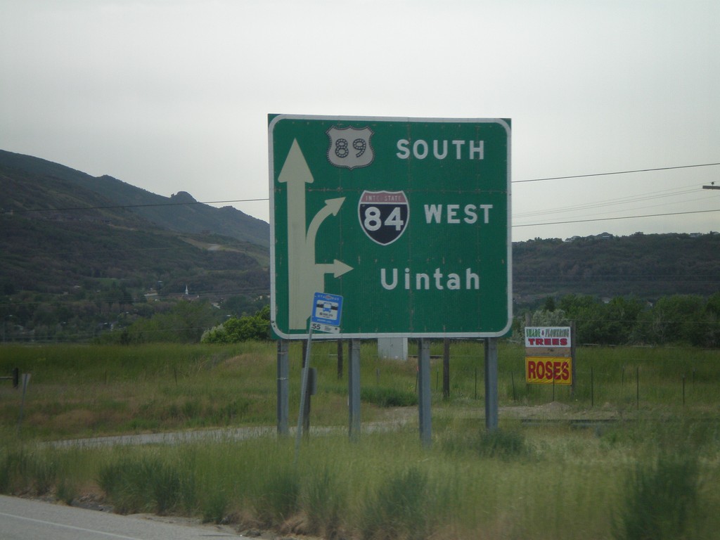
US-89 South at I-84
US-89 south approaching I-84 west Uintah.
Taken 05-24-2007

 Uintah
Weber County
Utah
United States
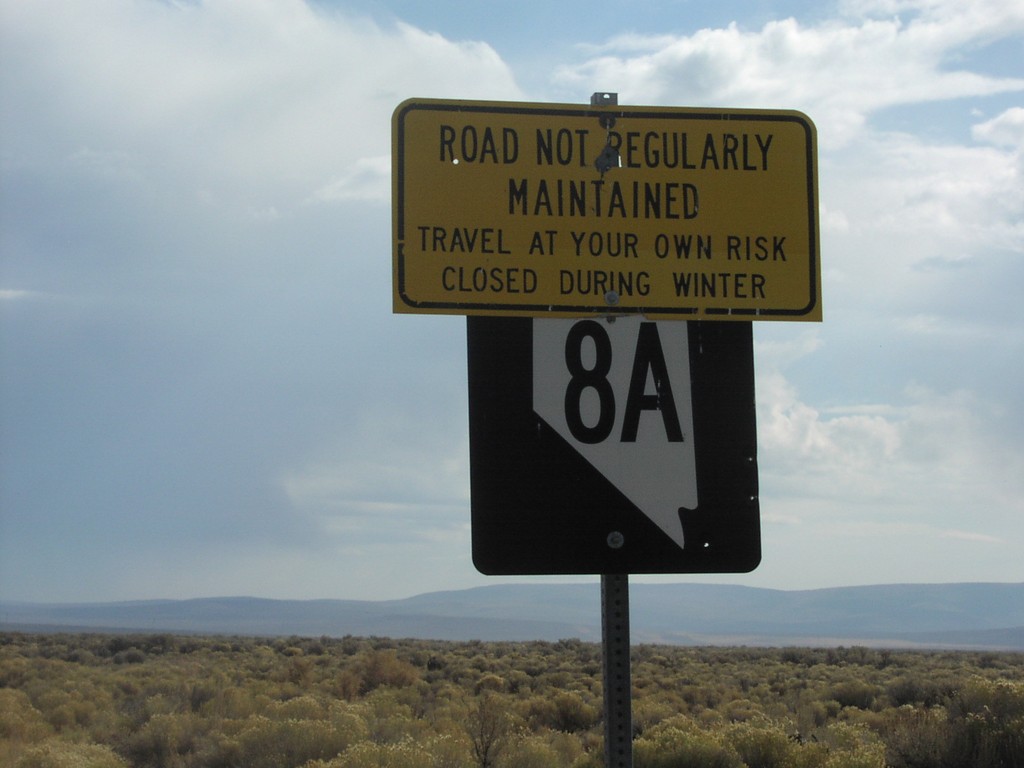
NV-8A East - Travel At Your Own Risk
NV-8A east, just east of NV-34. Sign warns to travel at own risk.
Taken 10-01-2006
 Vya
Washoe County
Nevada
United States
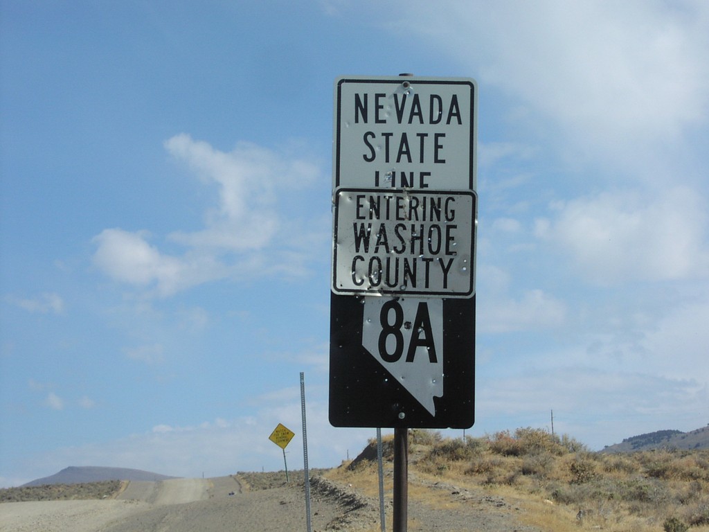
NV-8A East - Nevada State Line
Welcome To Nevada - Washoe County Line and beginning of NV-8A, at California border.
Taken 10-01-2006
 Vya
Washoe County
Nevada
United States
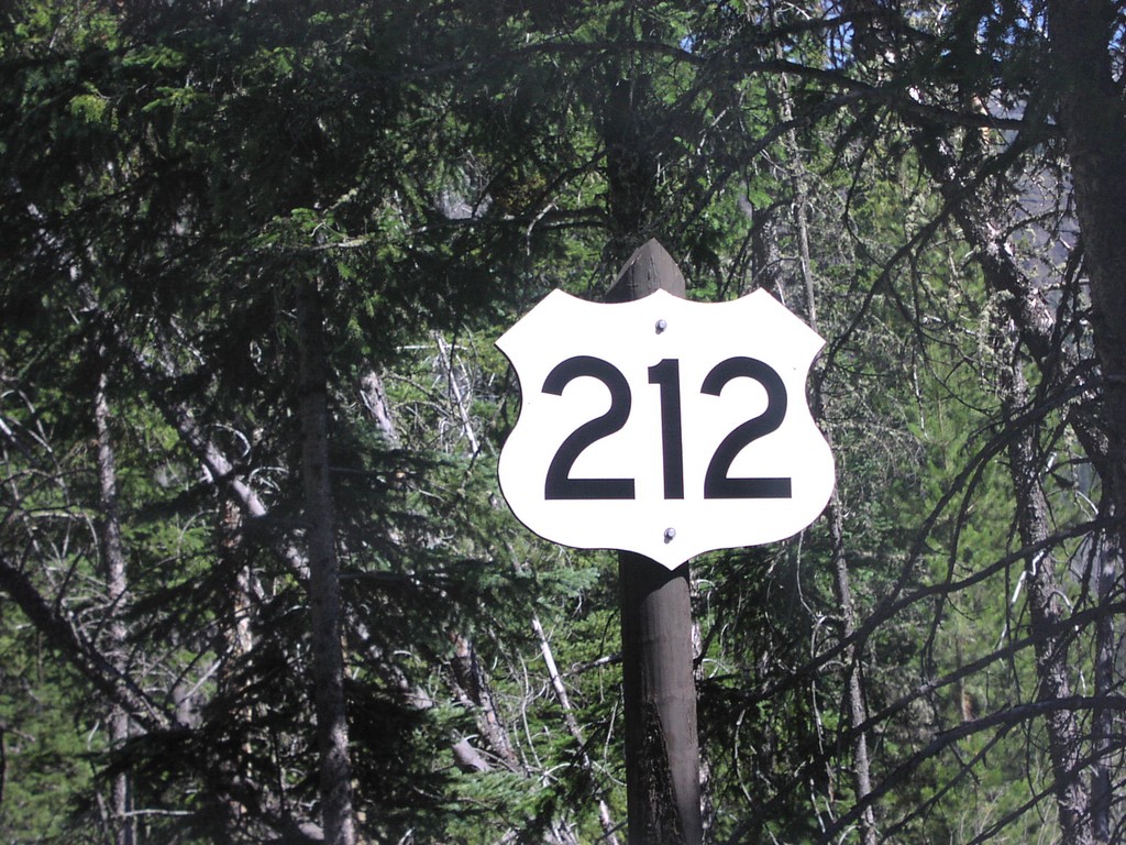
Begin US-212 East Closeup
Begin US-212 east at the Yellowstone NP boundary. First US-212 shield eastbound.
Taken 07-01-2006
 Silver Gate
Park County
Montana
United States
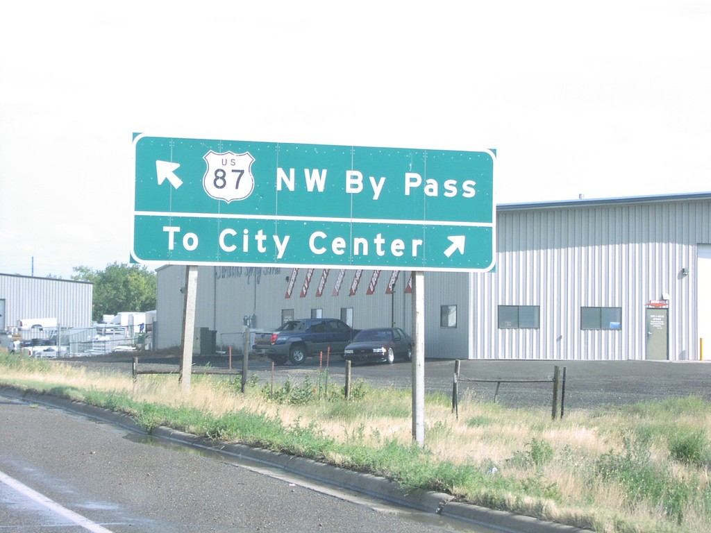
US-87 (NW-Bypass) at Vaughn Road
US-87 Bypass at Vaughn Road
Taken 09-09-2005
 Great Falls
Cascade County
Montana
United States
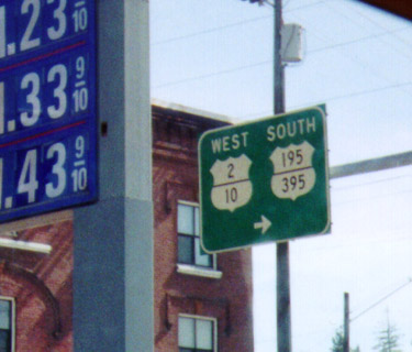
Maple St. South in Spokane - Old US Route Marker
Shields for old routes - US-195/US-2/US-10/US-395 on Maple Street. This is interesting in a few ways. First of all, the stacking of the route numbers within the marker itself. Secondly - US-10 is decommissioned in the western US. US-195 used to end in Sandpoint, ID - following the current route of US-2 through Spokane. Currently US-195 ends a few miles to the west at I-90. Finally, there is no mention of I-90 on this sign, which is where this sign is posted at an onramp to I-90.
Taken 08-01-2000


 Spokane
 County
Washington
United States
Spokane
Spokane County
Washington
United States