Signs Tagged With Shield::Text
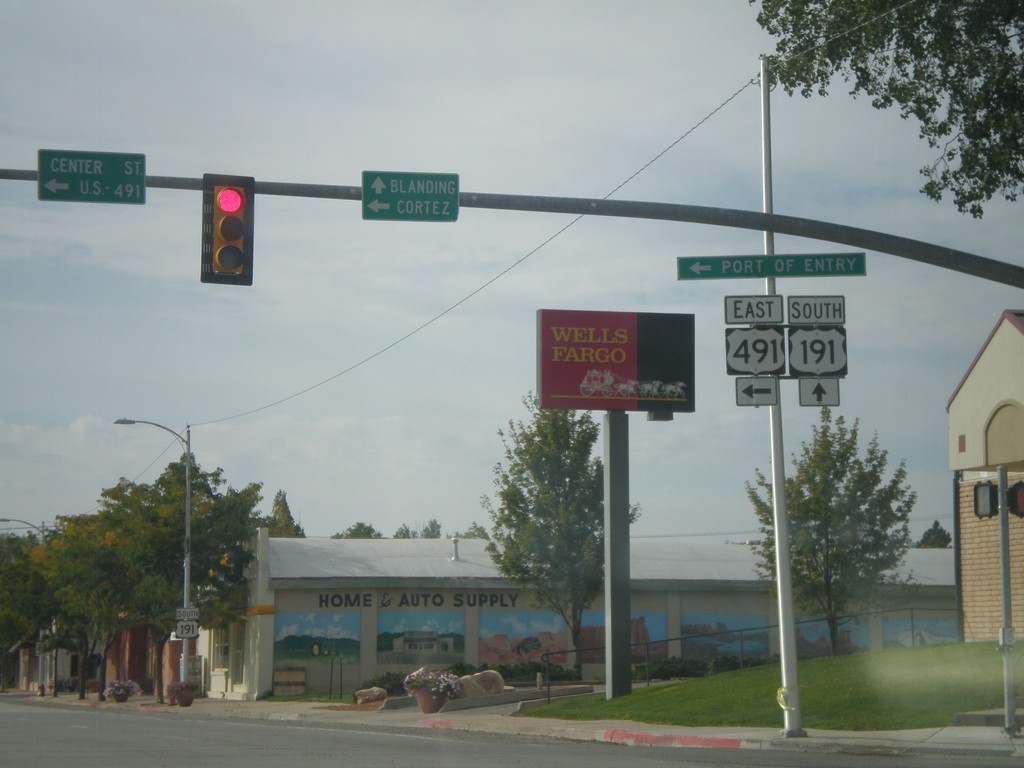
US-191 South at US-491
US-191 South at US-491. Use US-491 east for Cortez (Colorado); continue south on US-191 for Blanding. This is the northern end of US-491. Also US-491 east for the (Utah) Port of Entry.
Taken 10-02-2011

 Monticello
San Juan County
Utah
United States
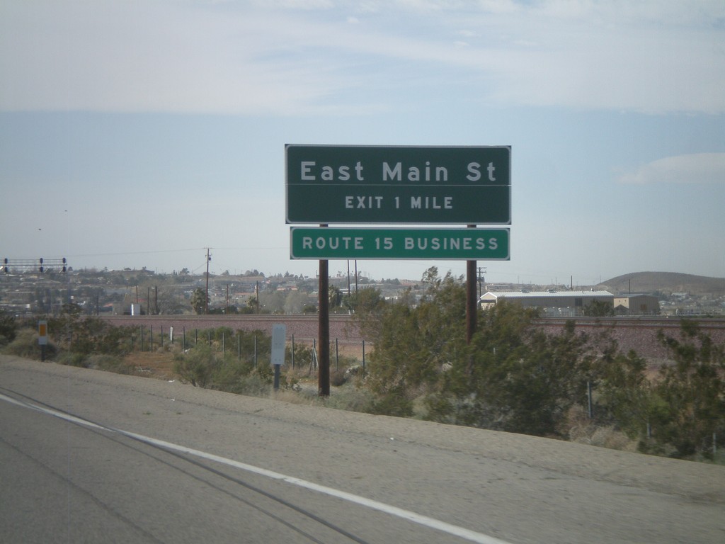
I-40 West Approaching Exit 1
I-40 west approaching Exit 1 - East Main St. East Main St. is part of Business Loop I-15.
Taken 02-25-2011

 Barstow
San Bernardino County
California
United States
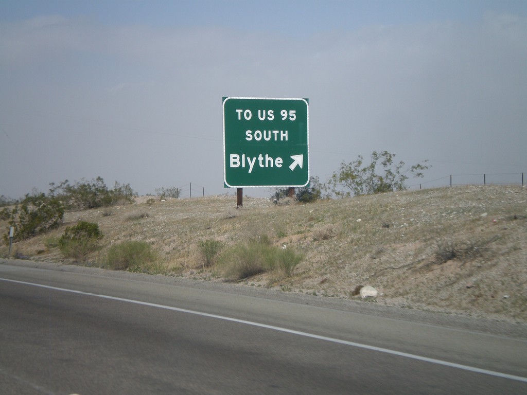
I-40 West - Exit 148
I-40 west at Exit 148 - To US-95 South/Blythe. The US-95 shield is displayed as text on this sign. This exit serves File Mile Road, and provides a cutoff between I-40 and US-95 south.
Taken 02-25-2011

 Needles
San Bernardino County
California
United States
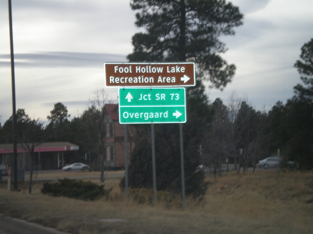
US-60/AZ-77/AZ-260 West at AZ-260
US-60/AZ-77/AZ-260 west at AZ-260 west to Overgaard and Fool Hollow Lake Recreation Area. US-60 West/AZ-77 South continues to AZ-73 Jct. AZ-260 west leaves US-60/AZ-77 here.
Taken 02-24-2011


 Show Low
Navajo County
Arizona
United States
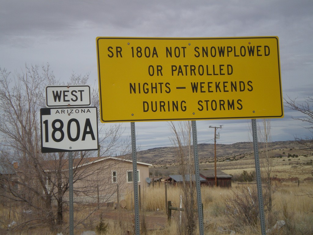
AZ-180A West - Winter Driving Warning
Warning on AZ-180A that the highway is not plowed nights or on weekends during storms.
Taken 02-24-2011
 Concho
Apache County
Arizona
United States
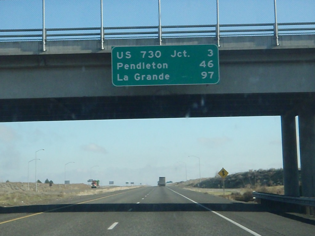
I-84 East - Distance Marker
Distance marker at Boardman Interchange. Distance to US-730 Jct., Pendleton, and La Grande.
Taken 01-19-2011

 Boardman
Morrow County
Oregon
United States
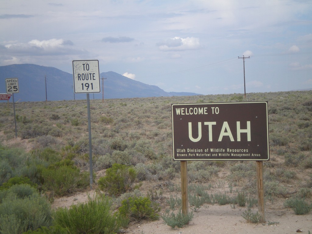
Welcome To Utah - Browns Park
Welcome to Utah on CH-1364 (Browns Park Road). This welcome sign was posted by the Utah Division of Wildlife Resources. Continue west on Browns Park Road for US-191.
Taken 08-01-2010
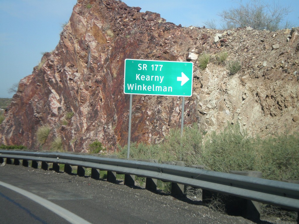
US-60 West at AZ-177 South
US-60 west at AZ-177 south to Winkelman and Kearny. AZ-177 is not displayed as a typical highway shield here, instead it is written out in text.
Taken 03-22-2010

 Superior
Pinal County
Arizona
United States
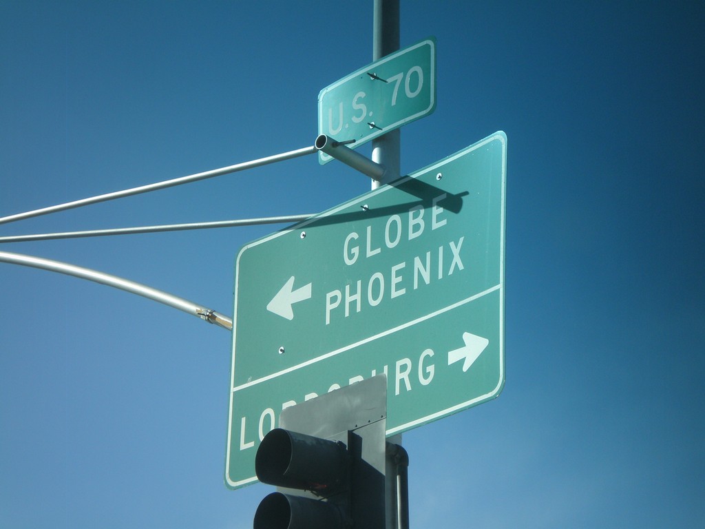
US-70 West at US-191 South
US-70 west at US-191 south. Use US-70 west for Globe and Phoenix. Use US-70 East/US-191 North for Lordsburg (NM).
Taken 03-21-2010

 Safford
Graham County
Arizona
United States
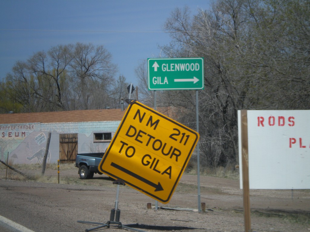
US-180 West at NM-211
US-180 west at NM-211 to Gila.
Taken 03-21-2010

 Gila
Grant County
New Mexico
United States