Signs Tagged With Shield::Text
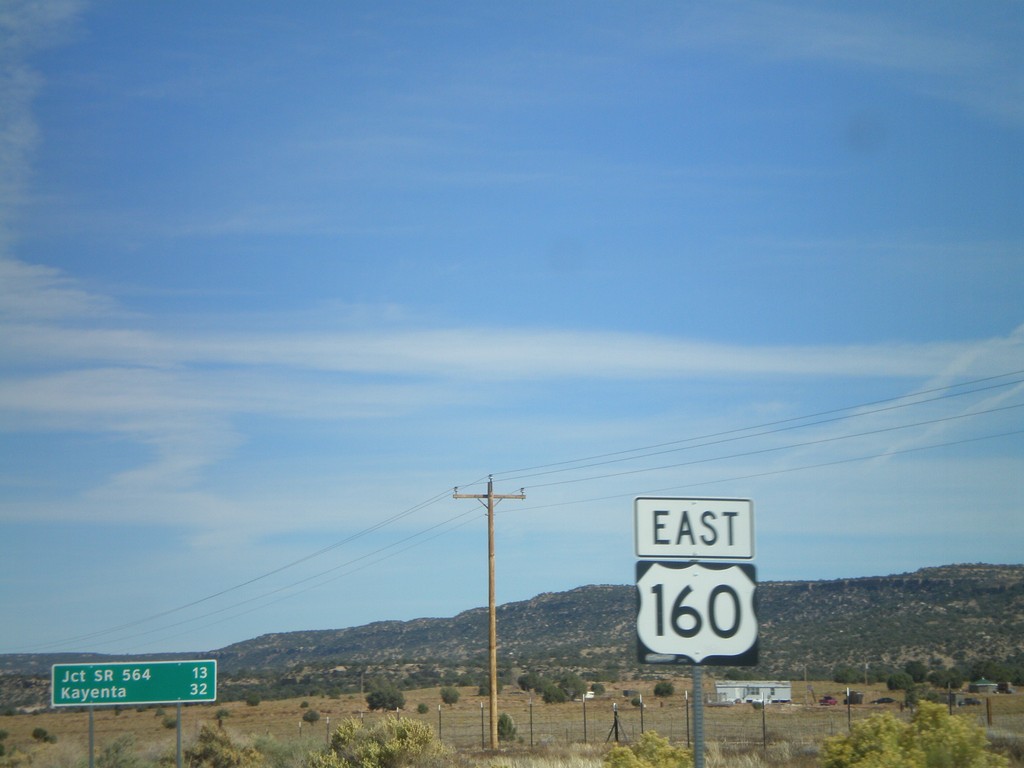
US-160 East - Shield and Distance Marker
Distance marker on US-160 east of AZ-98. Distance given to Jct. SR-564 and Kayenta. US-160 shield in foreground.
Taken 10-18-2008
 Shonto
Navajo County
Arizona
United States
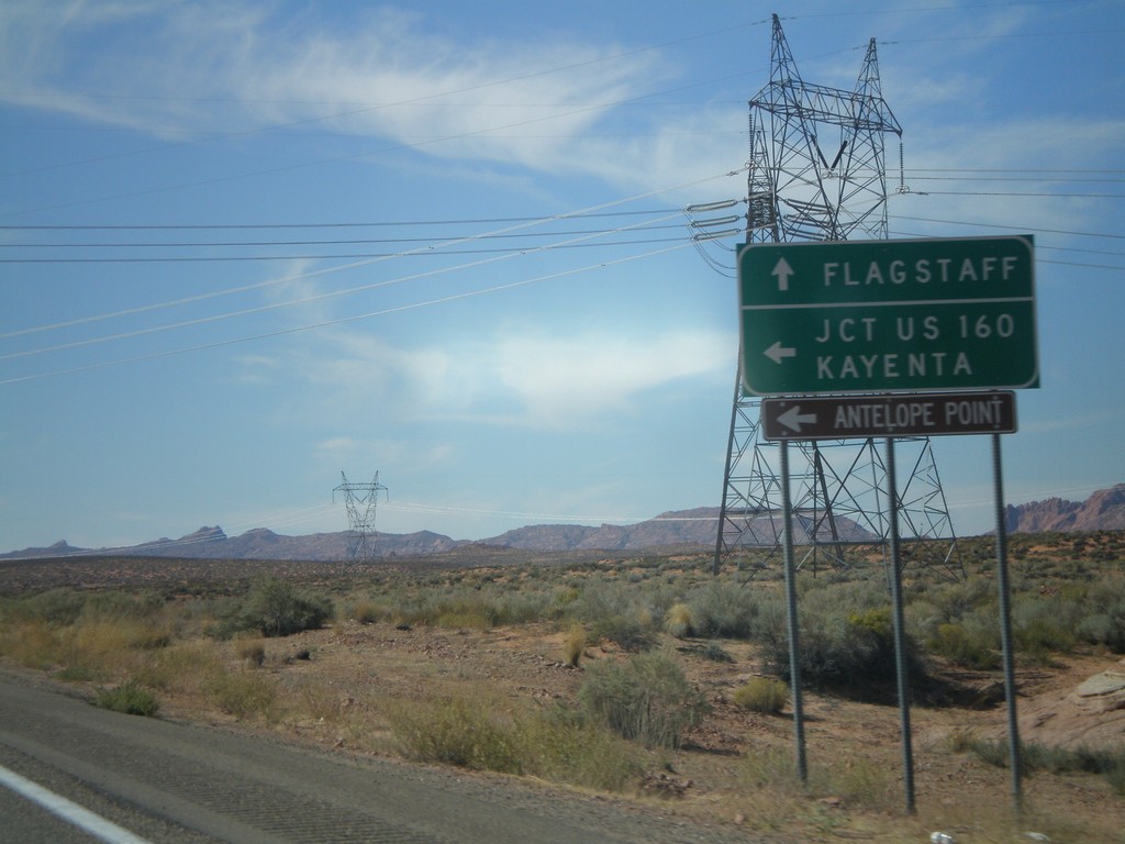
US-89 South Approaching AZ-98
US-89 south approaching AZ-98 to Kayenta and Jct. US-160.
Taken 10-16-2008

 Page
Coconino County
Arizona
United States
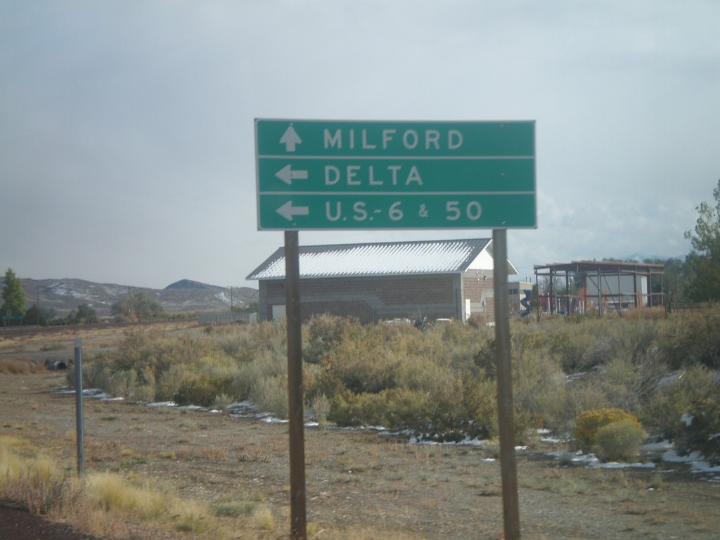
UT-21 East at UT-159
UT-21 east approaching UT-159 north to US-6/US-50 and Delta.
Taken 10-11-2008

 Garrison
Millard County
Utah
United States
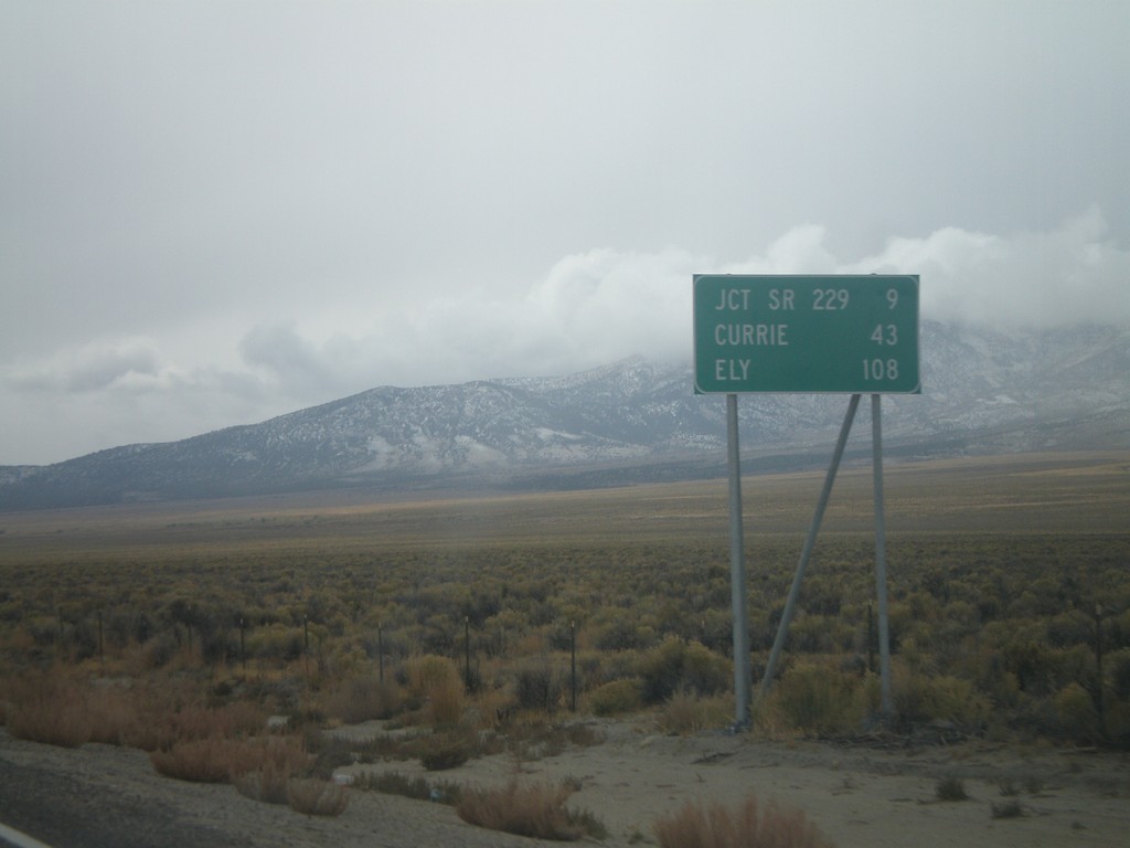
US-93 South - Distance Marker
Distance marker on US-93 south. Distance to Jct. SR-229, Currie, and Ely.
Taken 10-11-2008
 Wells
Elko County
Nevada
United States
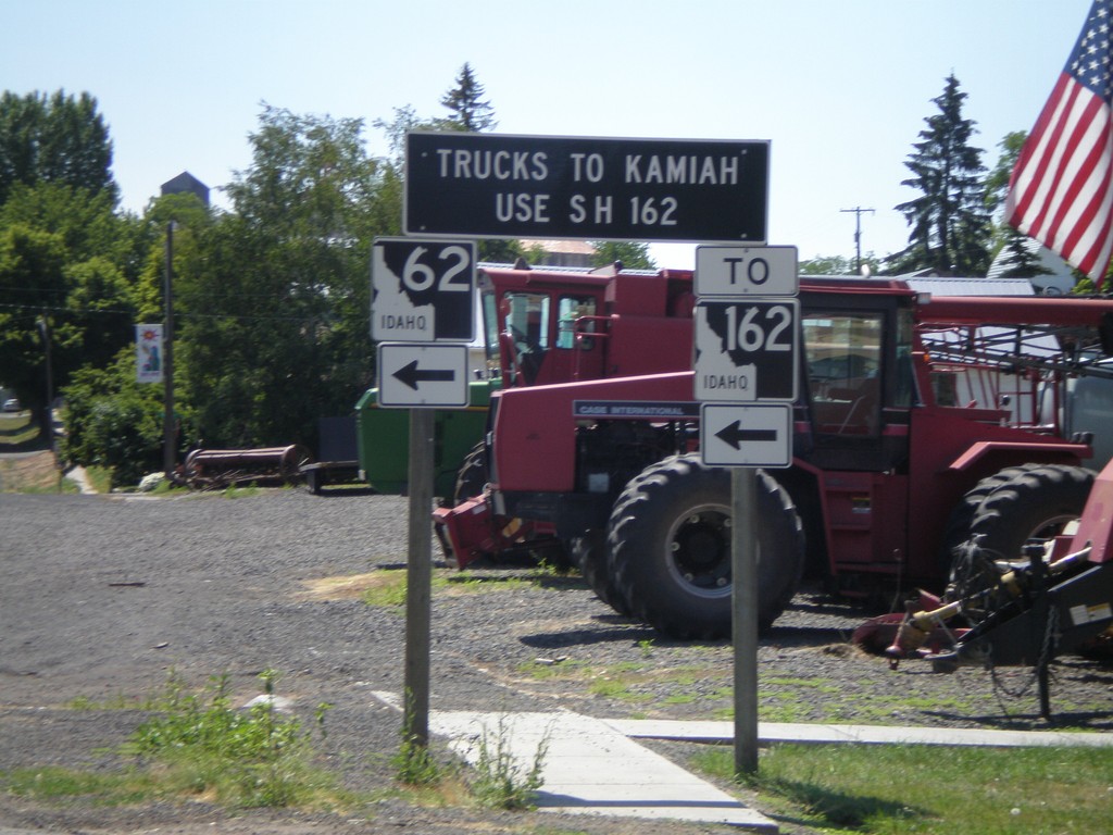
ID-62 East To ID-162 - Truck Information
ID-62 approaching ID-162. All Kamiah truck traffic use ID-162.
Taken 07-27-2008
 Nezperce
Lewis County
Idaho
United States
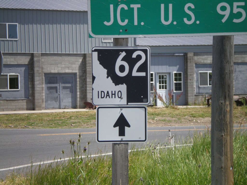
BL-95 South at ID-62 (Closeup)
Closeup of ID-62 shield at ID-62/BL-95 junction.
Taken 07-27-2008

 Craigmont
Lewis County
Idaho
United States
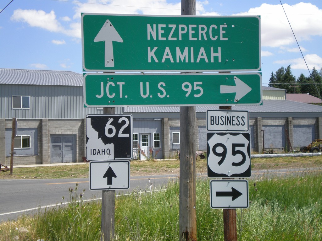
BL-95 South at ID-62
BL-95 south at ID-62 towards Kamiah and Nezperce. Turn left on BL-95 for US-95.
Taken 07-27-2008

 Craigmont
Lewis County
Idaho
United States
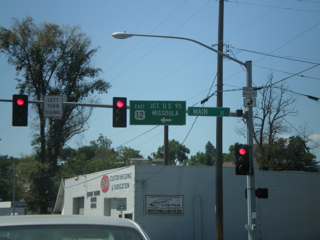
US-12 East - Levee Bypass at Main St.
US-12 East at Main St. Turn left on Main St. to continue east on US-12 to US-95 and Missoula (Montana).
Taken 07-27-2008
 Lewiston
Nez Perce County
Idaho
United States
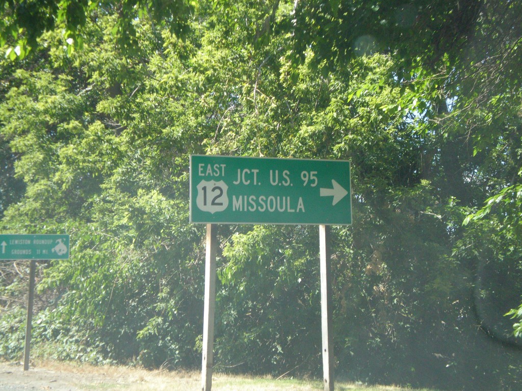
US-12 East - Interstate Bridge
US-12 east at end of Interstate Bridge. Turn right to continue east on US-12 for US-95 and Missoula (Montana).
Taken 07-27-2008
 Lewiston
Nez Perce County
Idaho
United States
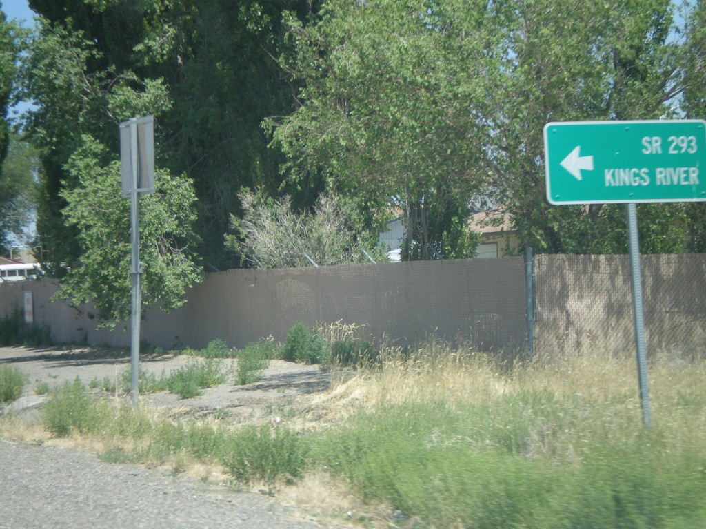
US-95 North at NV-293
US-95 north at NV-293 west to Kings River. The only mention of NV-293 is the text on the destination sign "SR-293." There are no NV-293 guide signs approaching this junction from either direction. Must Nevada junctions have advanced signage with proper route shields.
Taken 07-07-2008

 Winnemucca
Humboldt County
Nevada
United States