Signs Tagged With Shield::Text
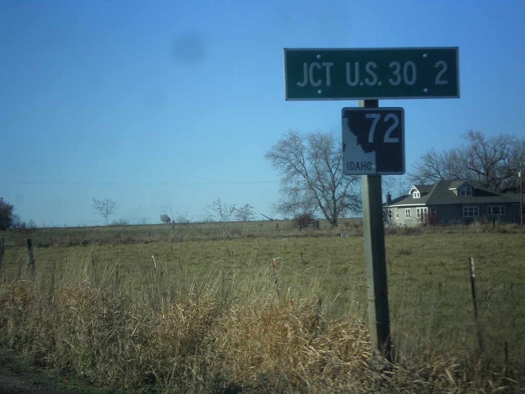
ID-72 West - Distance Marker
Distance marker on ID-72 west. Distance to US-30.
Taken 12-14-2014
 New Plymouth
Payette County
Idaho
United States
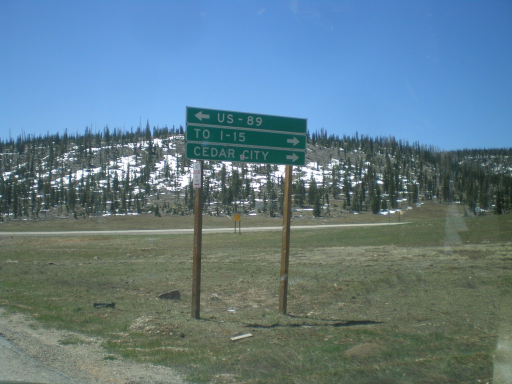
End UT-148 South at UT-14
End UT-148 south at UT-14. Turn right on UT-14 for Cedar City and I-15. Turn left on UT-14 for US-89. UT-14 is part of the Markagunt High Plateau Scenic Byway.
Taken 05-21-2014

 Brian Head
Iron County
Utah
United States
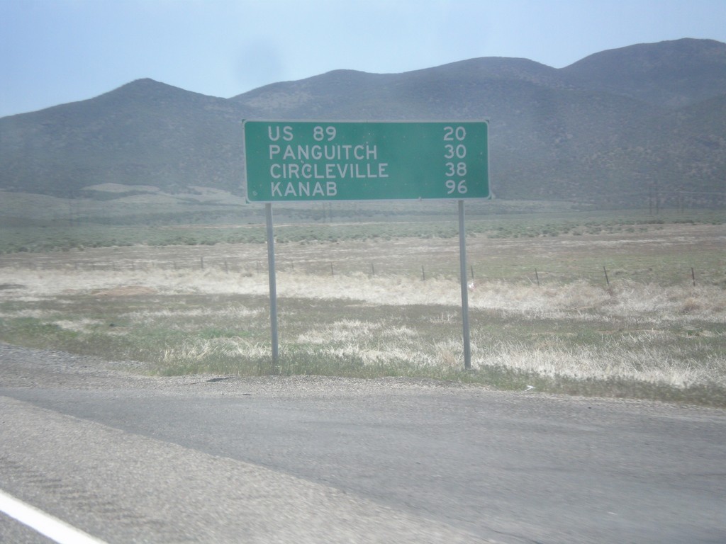
UT-20 East - Distance Marker
Distance marker on UT-20 east. Distance to US-89, Panguitch, Circleville, and Kanab.
Taken 05-19-2014
 Paragonah
Iron County
Utah
United States
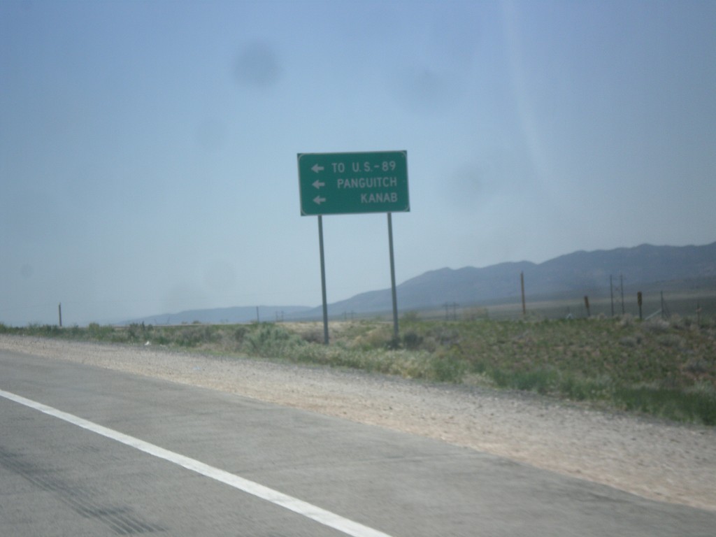
I-15 South at UT-20 Junction
I-15 south offramp at UT-20. Turn left for US-89, Panguitch, and Kanab.
Taken 05-19-2014

 Paragonah
Iron County
Utah
United States
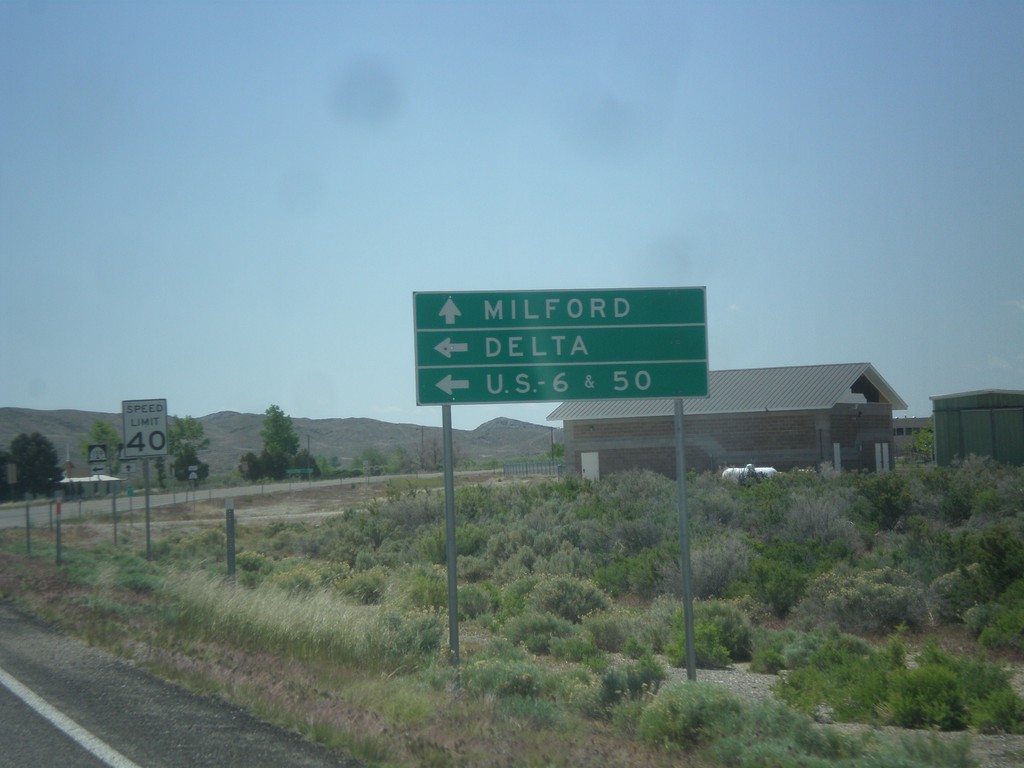
UT-21 East at UT-159
UT-21 east approaching UT-159 north to US-6/US-50 and Delta. Continue east on UT-21 for Milford.
Taken 05-19-2014

 Garrison
Millard County
Utah
United States
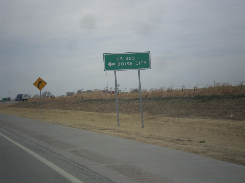
US-287 North at US-385/OK-3
US-287 north at US-385/OK-3 junction. OK-3 joins US-287 north to the Oklahoma - Colorado line. US-385 joins US-287 north to Lamar, Colorado. Notice the route US-385 is spelled out instead of displayed in a typical shield.
Taken 03-30-2014


 Boise City
Cimarron County
Oklahoma
United States
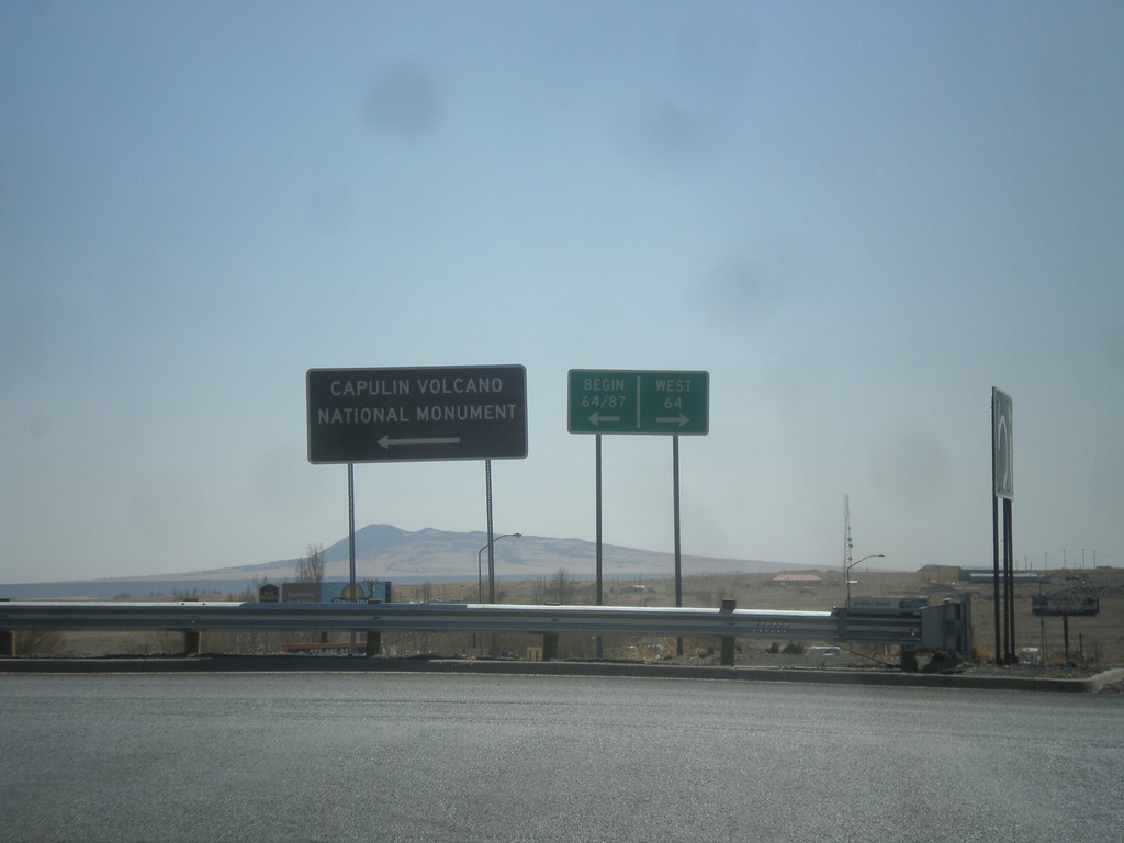
I-25 South Exit 451 Offramp at US-64/US-87
I-25 south Exit 451 Offramp at US-64/US-87. Turn left for US-64/US-87 East; right for US-64 west. This sign for US-64/US-87 in this picture is odd because it is not a standard shield, rather a text based big green sign.
Taken 03-29-2014


 Raton
Colfax County
New Mexico
United States
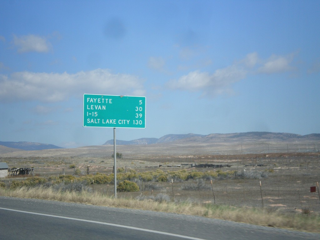
UT-28 North - Distance Marker
Distance marker on UT-28 north. Distance to Fayette, Levan, I-15, and Salt Lake City.
Taken 10-18-2013
 Gunnison
Sanpete County
Utah
United States
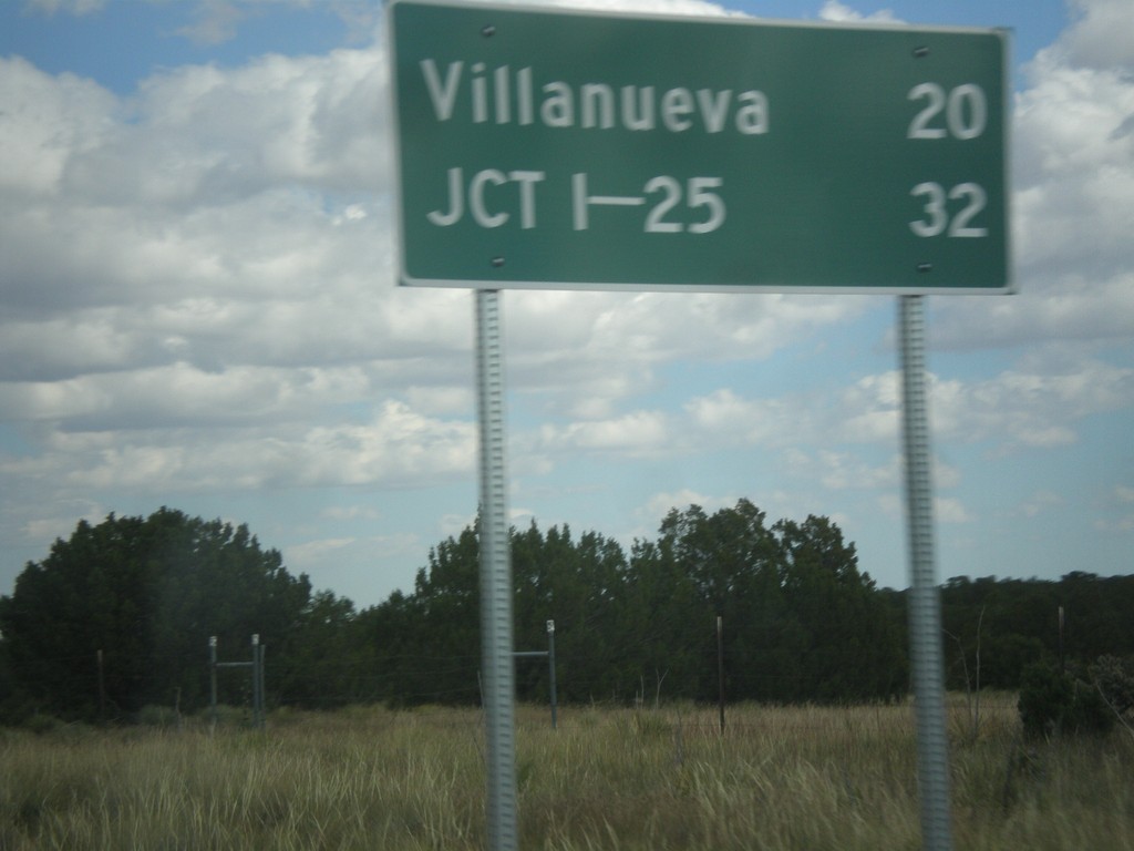
NM-3 North - Distance Marker
Distance marker on NM-3 north. Distance to Villanueva and I-25.
Taken 10-10-2013
 Encino
Torrance County
New Mexico
United States
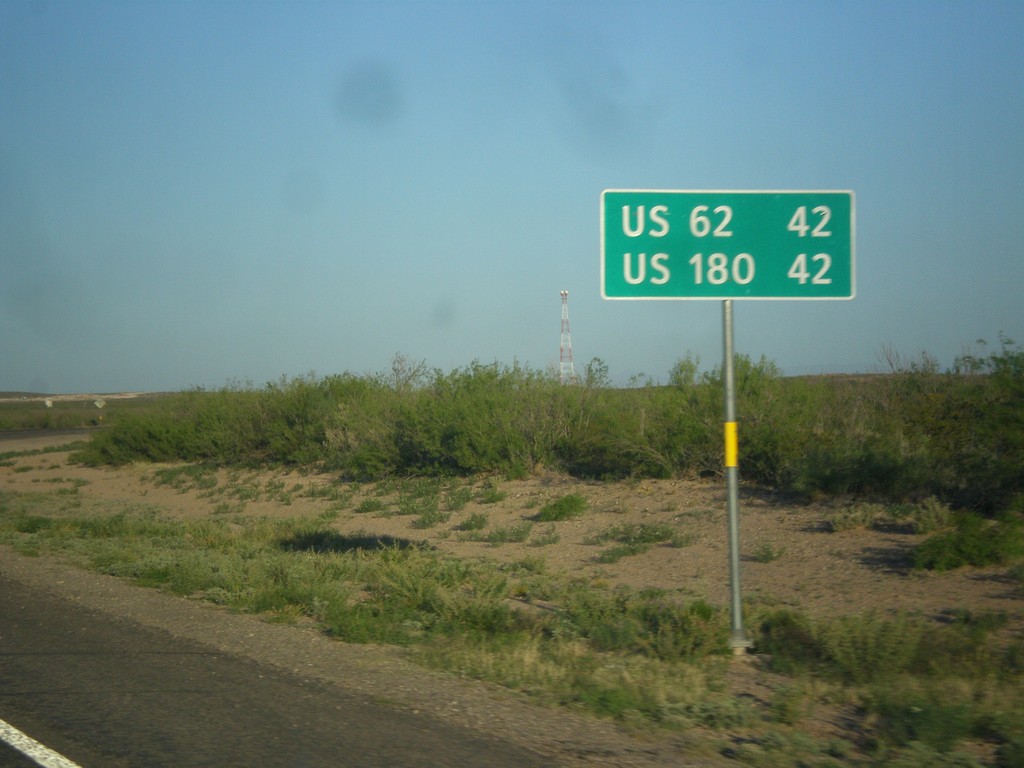
RM-652 West - Distance Marker
Distance marker on RM-652 west to US-62 and US-180.
Taken 04-15-2013
 Orla
Reeves County
Texas
United States