Signs Tagged With Shield
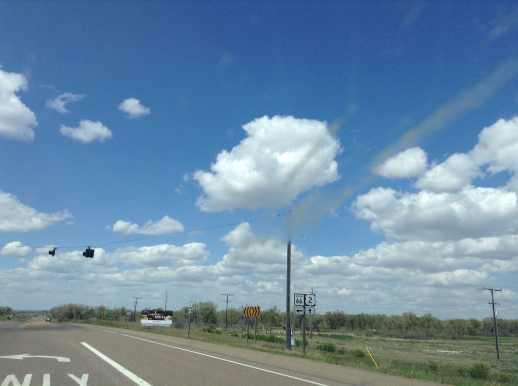
US-2 West at MT-66
US-2 West at MT-66 south in Harlem.
Taken 05-09-2015

 Harlem
Blaine County
Montana
United States
Harlem
Blaine County
Montana
United States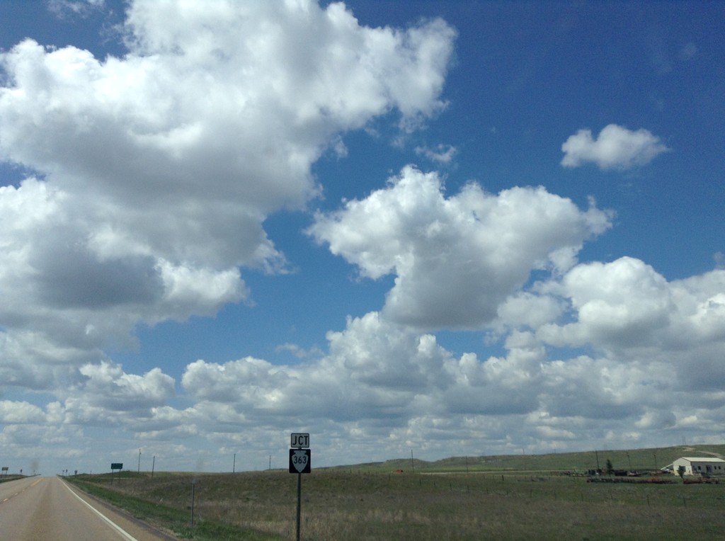
US-2 West Approaching MTS-363
US-2 west approaching MTS-363 south.
Taken 05-09-2015
 Malta
Phillips County
Montana
United States
Malta
Phillips County
Montana
United States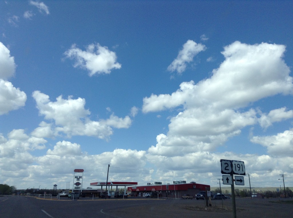
US-2 West/US-191 North at US-191 North
US-2 West/US-191 North at US-191 North in Malta.
Taken 05-09-2015
 Malta
Phillips County
Montana
United States
Malta
Phillips County
Montana
United States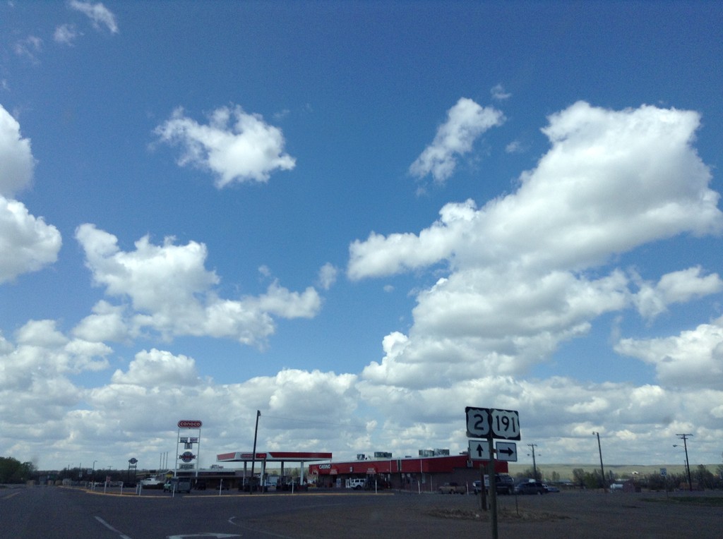
US-2 West/US-191 North at US-191 North
US-2 West/US-191 North at US-191 North in Malta.
Taken 05-09-2015
Malta
Phillips County
Montana
United States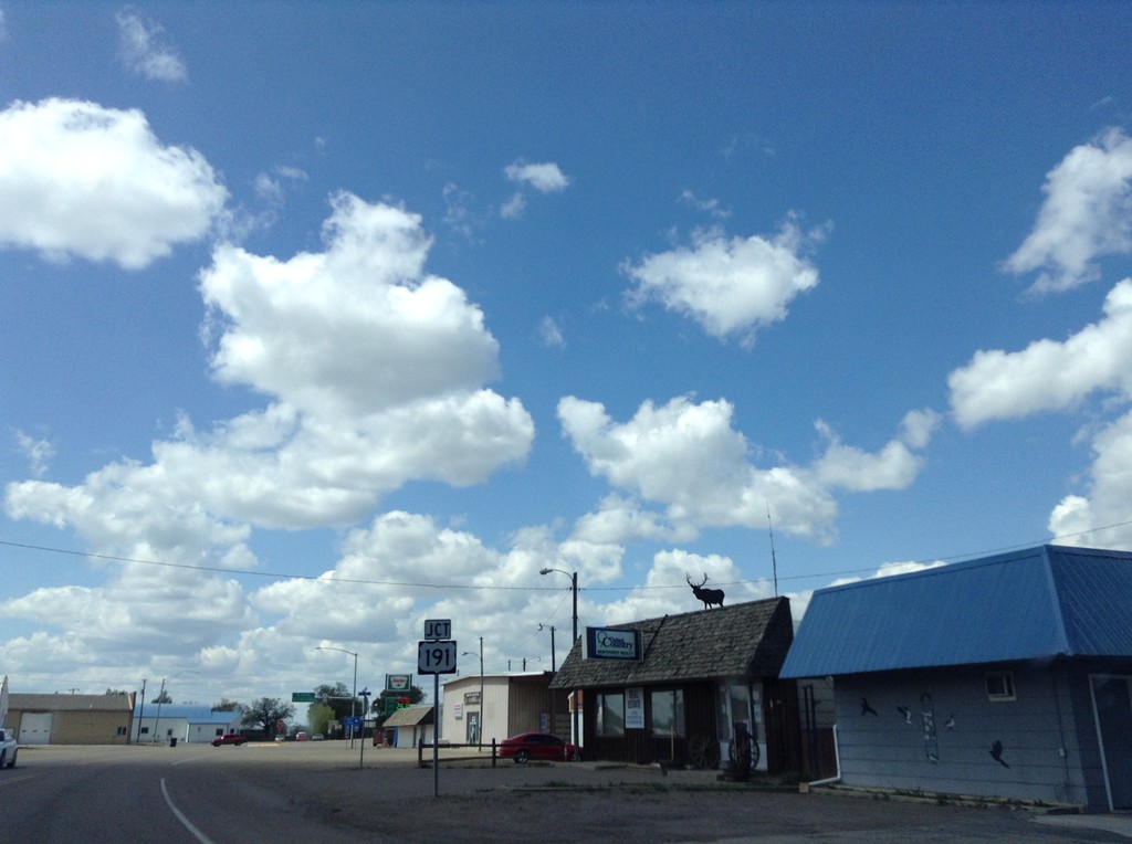
US-2 West Approaching US-191
US-2 west approaching US-191 in Malta.
Taken 05-09-2015
Malta
Phillips County
Montana
United States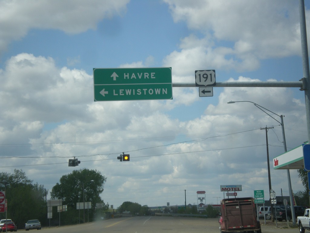
US-2 West at US-191
US-2 west at US-191 south to Lewistown. Continue east on US-2 to Havre. US-191 joins US-2 west through Malta.
Taken 05-09-2015
Malta
Phillips County
Montana
United States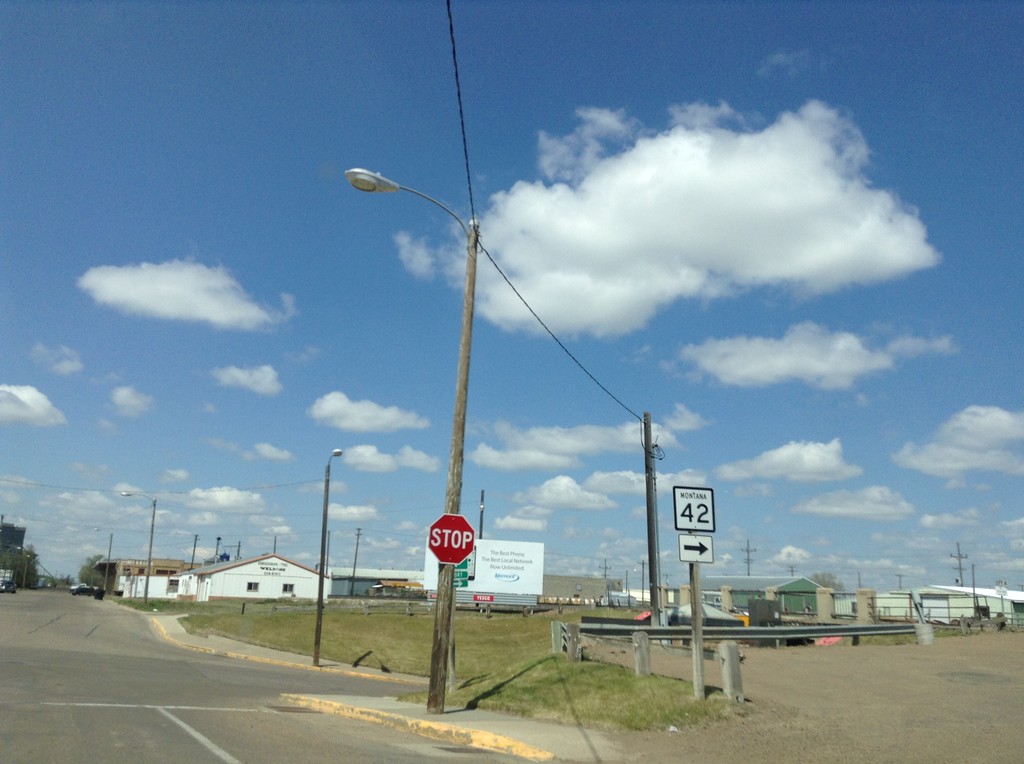
MT-42 West - Glasgow
MT-42 West in Glasgow. Turn right on 6th St. to continue west on MT-42.
Taken 05-09-2015
 Glasgow
Valley County
Montana
United States
Glasgow
Valley County
Montana
United States
MT-42 West - Glasgow
MT-42 west in Glasgow. Turn right on 6th St. for US-2.
Taken 05-09-2015
Glasgow
Valley County
Montana
United States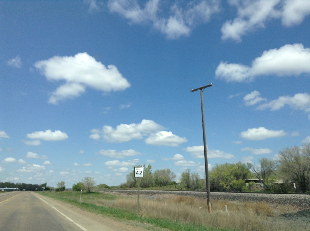
MT-42 West - Valley County
MT-42 west in Valley County.
Taken 05-09-2015
Glasgow
Valley County
Montana
United States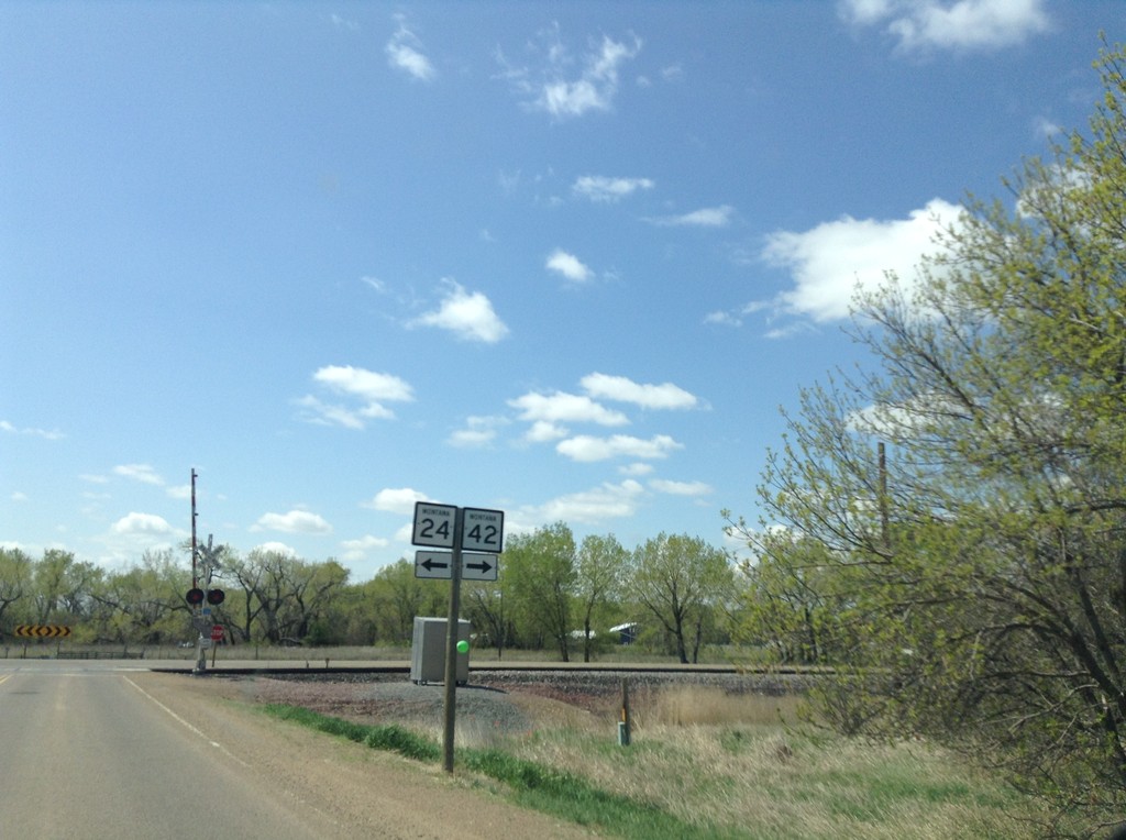
MT-24 South Approaching MT-42
MT-24 South approaching MT-42. Turn left to continue south on MT-24; right for MT-42.
Taken 05-09-2015
 Glasgow
Valley County
Montana
United States
Glasgow
Valley County
Montana
United States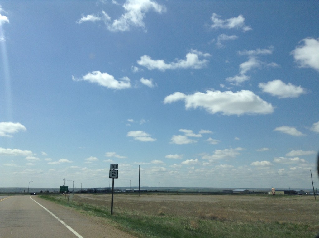
MT-24 South Approaching US-2
MT-24 south approaching US-2 in Valley County.
Taken 05-09-2015
Glasgow
Valley County
Montana
United States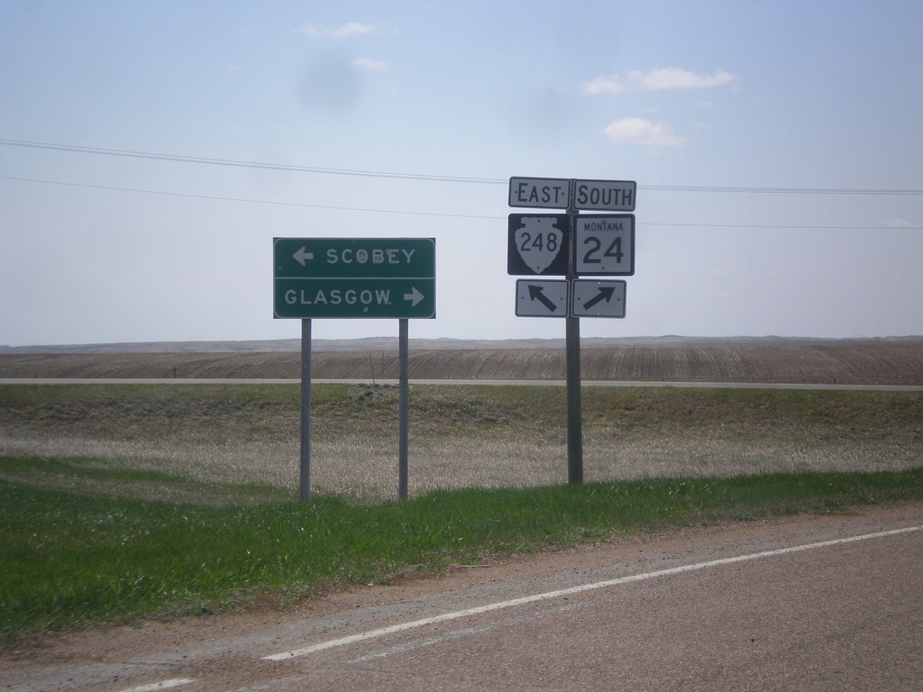
MT-24 South at MTS-248
MT-24 South at MTS-248 East to Scobey. Continue south on MT-24 for Glasgow.
Taken 05-09-2015
 Opheim
Valley County
Montana
United States
Opheim
Valley County
Montana
United States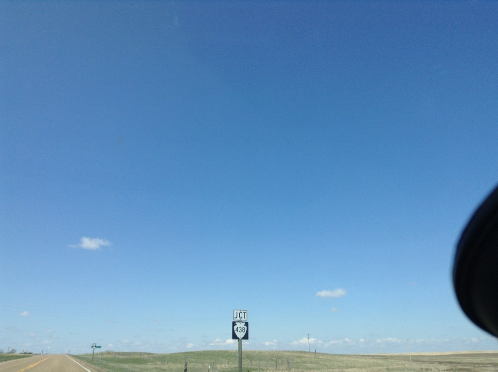
MTS-248 West at MTS-438
MTS-248 west approaching MTS-438 junction.
Taken 05-09-2015
 Glentana
Valley County
Montana
United States
Glentana
Valley County
Montana
United States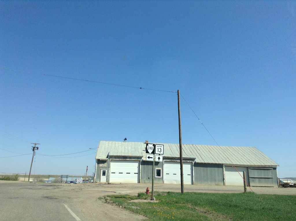
MT-13 North at MTS-248
MT-13 North at MTS-248 in Scobey.
Taken 05-09-2015
 Scobey
Daniels County
Montana
United States
Scobey
Daniels County
Montana
United States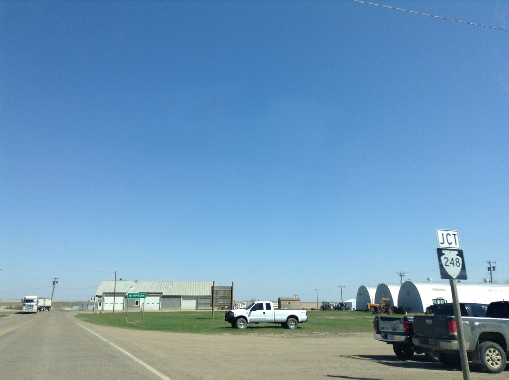
MT-13 North Approaching MTS-248
MT-13 North approaching MTS-248 in Scobey.
Taken 05-09-2015
Scobey
Daniels County
Montana
United States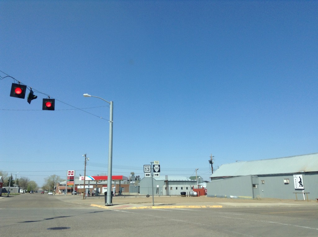
End MT-5 West at MT-13
End MT-5 west at MT-13. Use MT-13 north for MTS-248.
Taken 05-09-2015
 Scobey
Daniels County
Montana
United States
Scobey
Daniels County
Montana
United States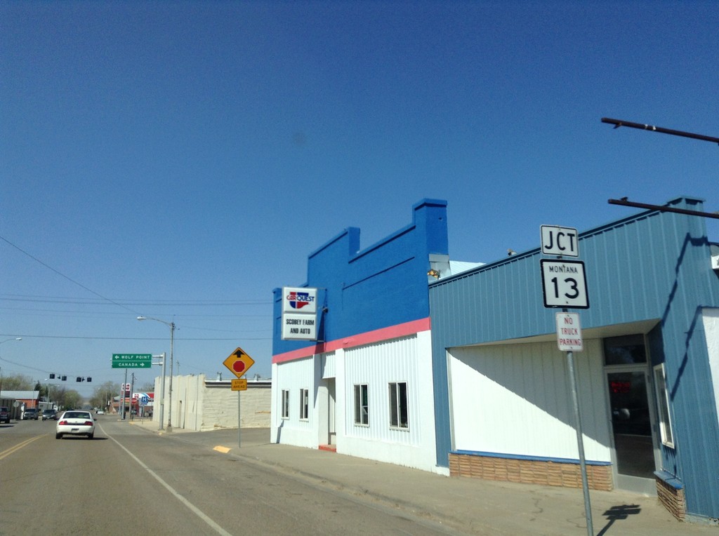
MT-5 West Approaching MT-13
MT-5 West Approaching MT-13 in Scobey. This is the western end of MT-5.
Taken 05-09-2015
Scobey
Daniels County
Montana
United States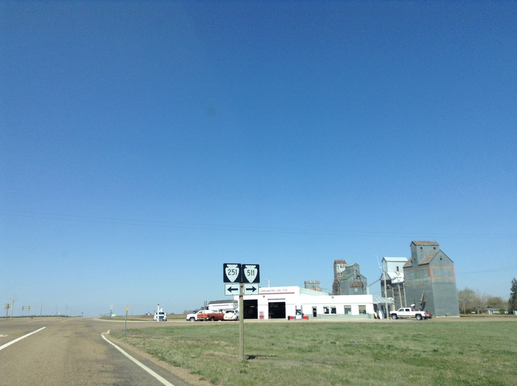
MT-5 West at MTS-511 and MTS-251
MT-5 West at MTS-511 and MTS-251 in Flaxville.
Taken 05-09-2015

 Flaxville
Daniels County
Montana
United States
Flaxville
Daniels County
Montana
United States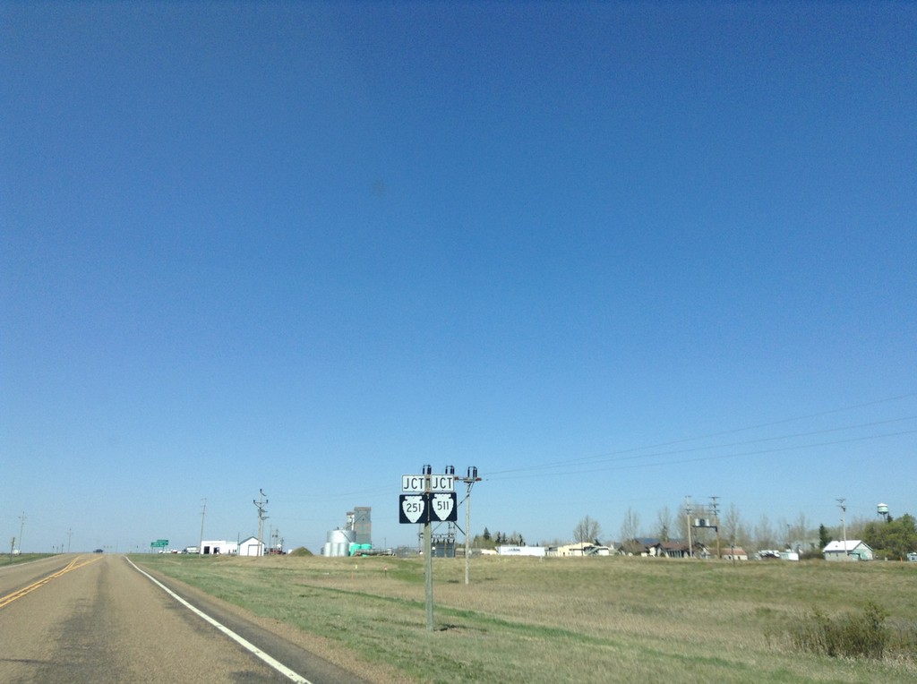
MT-5 West Approaching MTS-511 and MTS-251
MT-5 West approaching MTS-511 and MTS-251 in Flaxville.
Taken 05-09-2015
Flaxville
Daniels County
Montana
United States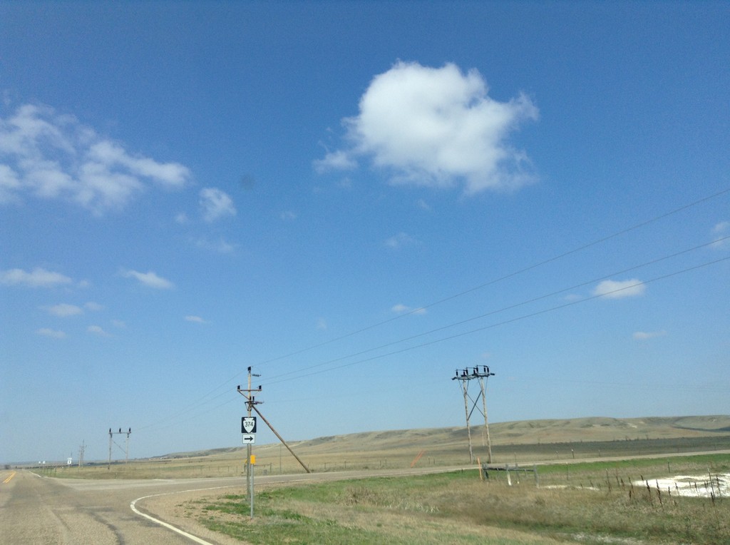
MT-5 West at MTS-374 North
MT-5 West at MTS-374 North to Outlook.
Taken 05-09-2015
 Outlook
Sheridan County
Montana
United States
Outlook
Sheridan County
Montana
United States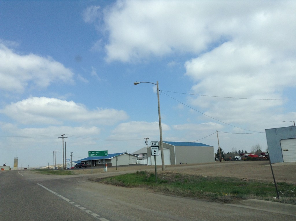
MT-5 West - Distance Marker
MT-5 west leaving Plentywood, Montana. In background is a distance marker for Flaxville and Scobey.
Taken 05-09-2015
Plentywood
Sheridan County
Montana
United States
MT-16 North/MT-5 West Approaching Split
MT-16 North/MT-5 West Approaching MT-16/MT-5 split in Plentywood.
Taken 05-09-2015
 Plentywood
Sheridan County
Montana
United States
Plentywood
Sheridan County
Montana
United States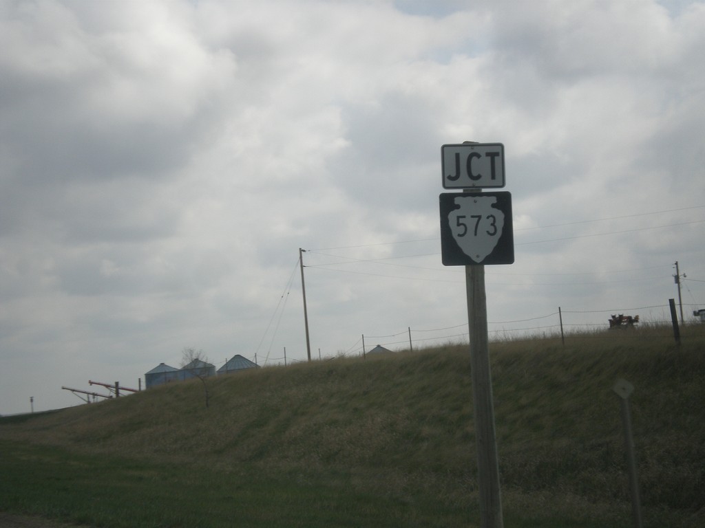
MT-16 North Approaching MTS-573
MT-16 North approaching MTS-573 in Medicine Lake.
Taken 05-09-2015
 Medicine Lake
Sheridan County
Montana
United States
Medicine Lake
Sheridan County
Montana
United States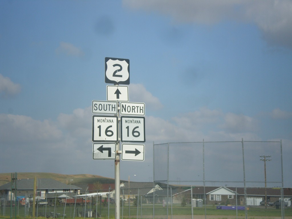
US-2 West at MT-16 North
US-2 West at MT-16 North. Turn right for MT-16 north; continue straight for US-2 West/MT-16 South.
Taken 05-09-2015
Culbertson
Roosevelt County
Montana
United States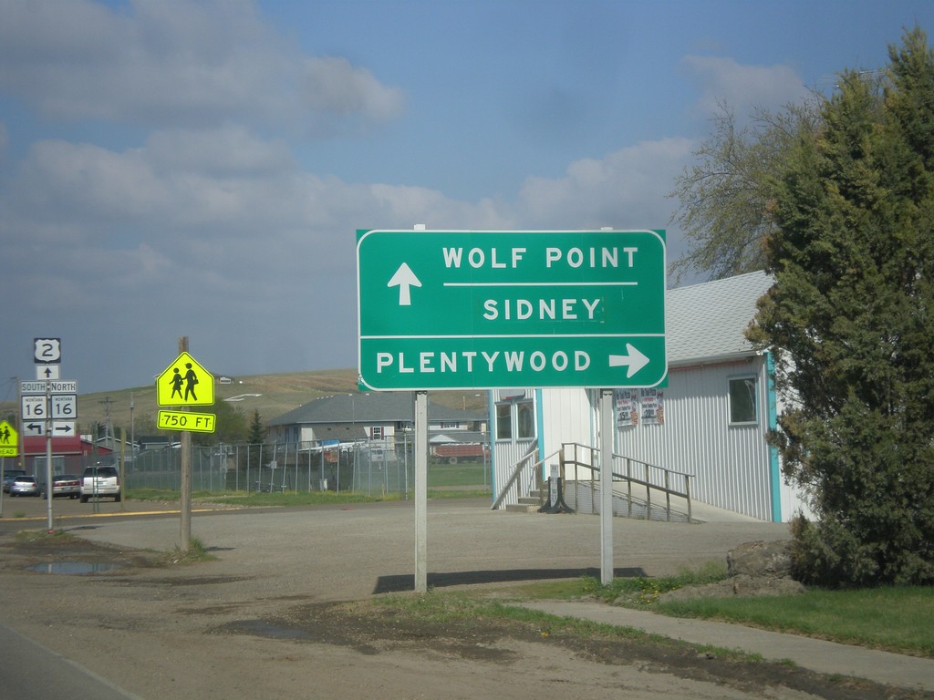
US-2 West Approaching MT-16
US-2 West Approaching MT-16 north to Plentywood. MT-16 south joins US-2 west through Culbertson. Use US-2 west for Wolf Point and Sidney (via MT-16 south).
Taken 05-09-2015
Culbertson
Roosevelt County
Montana
United States