Signs Tagged With Shield
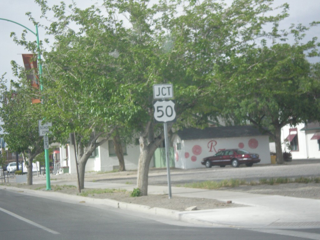
US-95 North Approaching US-50
US-95 North approaching US-50 in Fallon.
Taken 05-05-2014

 Fallon
Churchill County
Nevada
United States
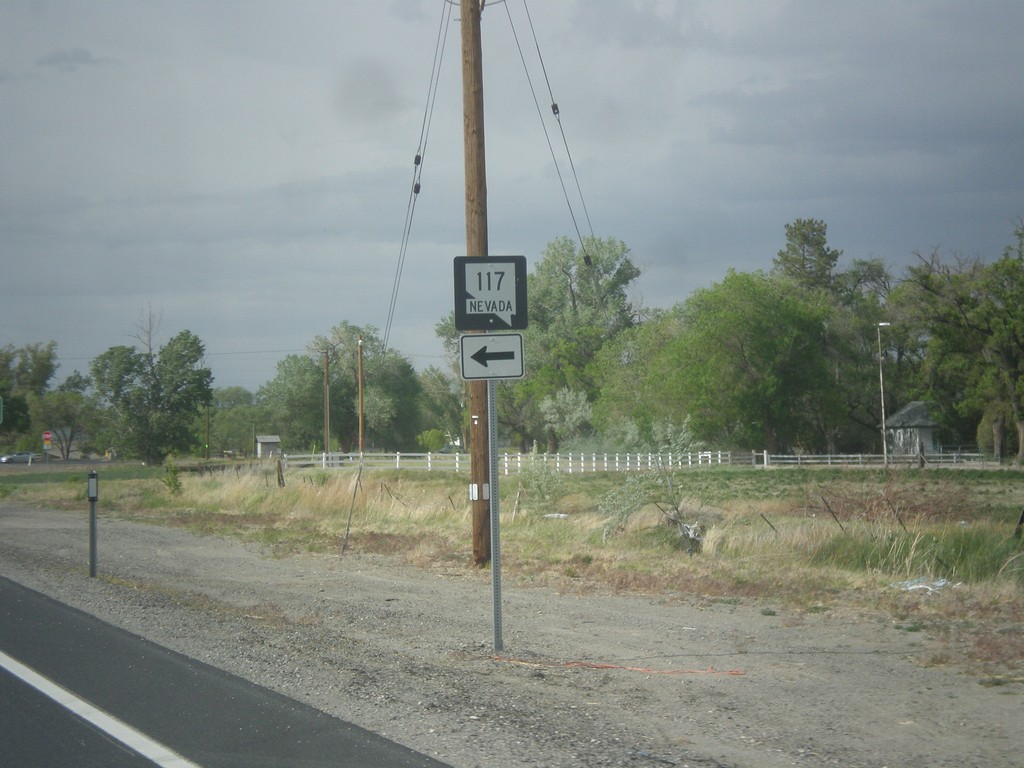
US-95 North at NV-117
US-95 north at NV-117 in Fallon.
Taken 05-05-2014

 Fallon
Churchill County
Nevada
United States
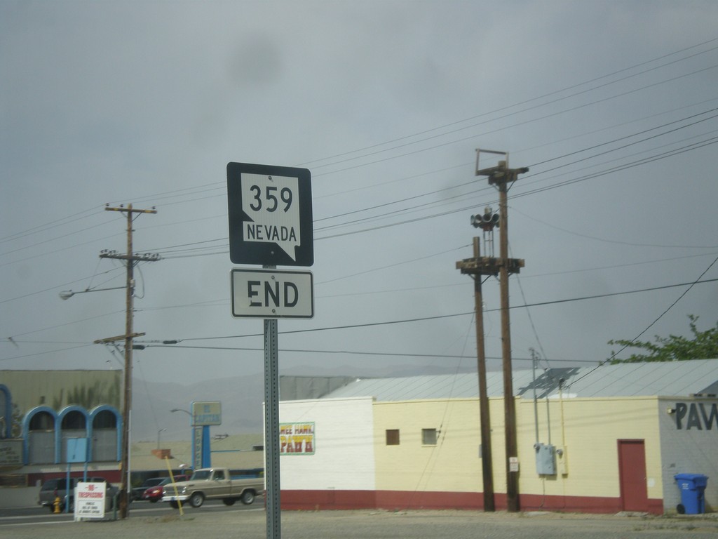
End NV-359 North at US-95
End NV-359 north at US-95 in Hawthorne.
Taken 05-05-2014

 Hawthorne
Mineral County
Nevada
United States
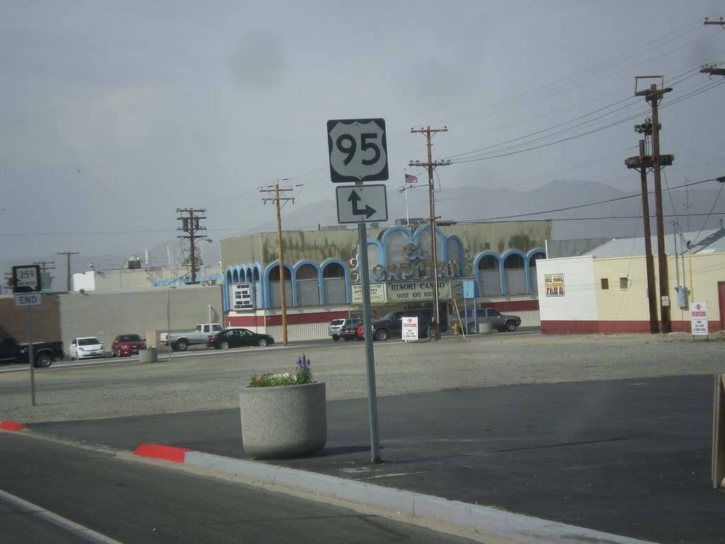
NV-359 North Approaching US-95
NV-359 North approaching US-95 in Hawthorne.
Taken 05-05-2014

 Hawthorne
Mineral County
Nevada
United States
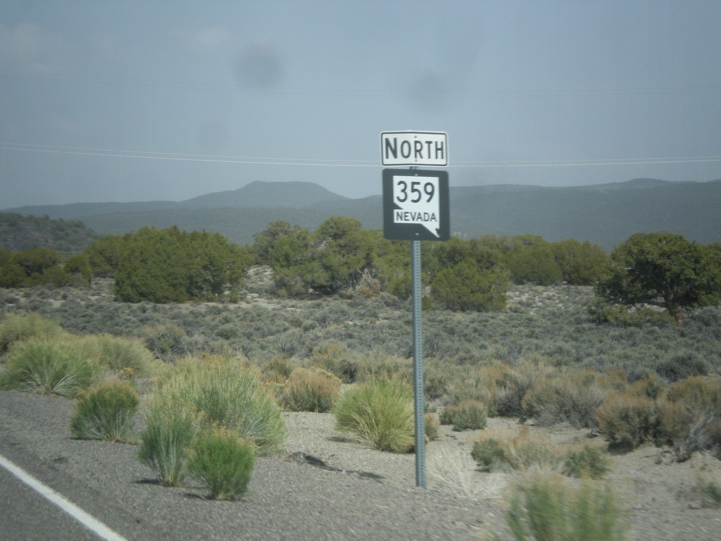
NV-359 North
NV-359 north in Mineral County. This is the first NV-359 shield after the state line.
Taken 05-05-2014
 Mina
Mineral County
Nevada
United States
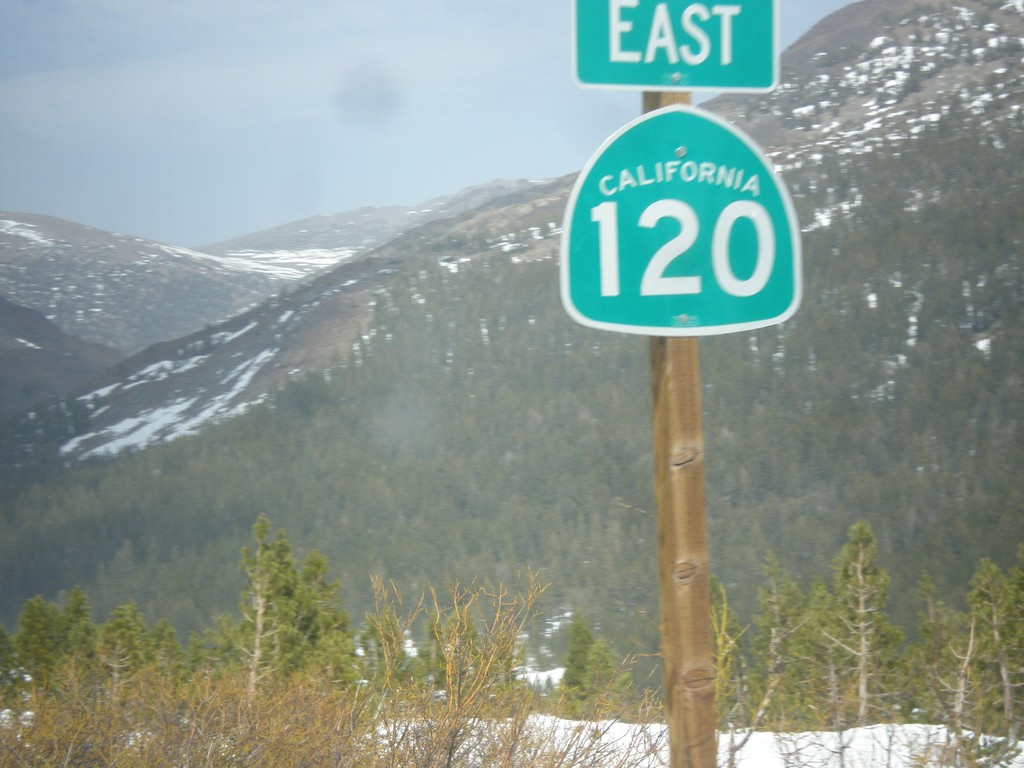
CA-120 East - Tioga Pass
First CA-120 shield after leaving Yosemite National Park at Tioga Pass.
Taken 05-05-2014
 Lee Vining
Mono County
California
United States
CA-120 East Approaching CA-49
CA-120 East approaching CA-49 in Chinese Camp.
Taken 05-05-2014

 Jamestown
Tuolumne County
California
United States
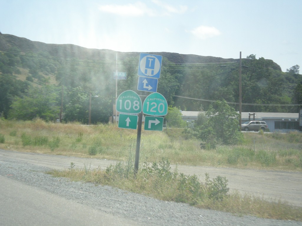
CA-108/CA-120 East at CA-120
CA-108/CA-120 East at CA-120 junction in Tuolumne County.
Taken 05-05-2014

 Jamestown
Tuolumne County
California
United States
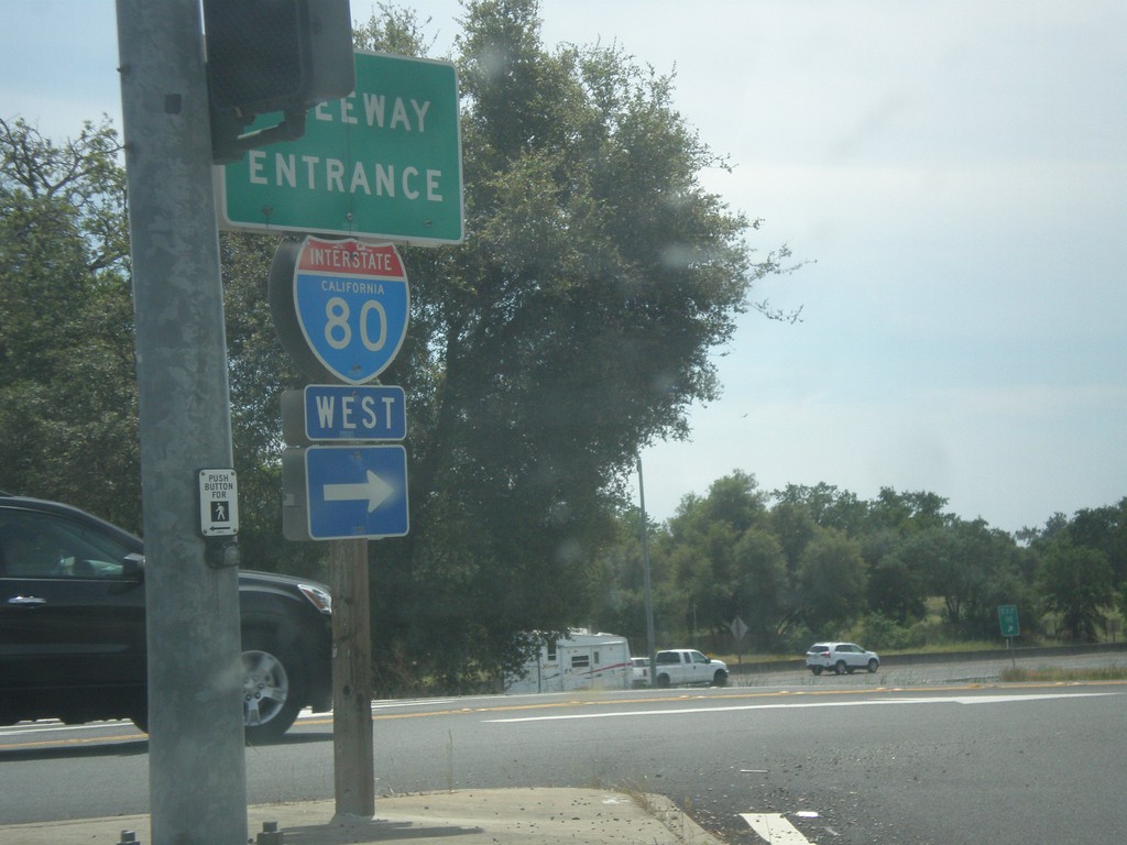
Horseshoe Bar Road East at I-80 West
Horseshoe Bar Road east at I-80 west onramp (Exit 110) in Loomis.
Taken 05-04-2014
 Loomis
Placer County
California
United States
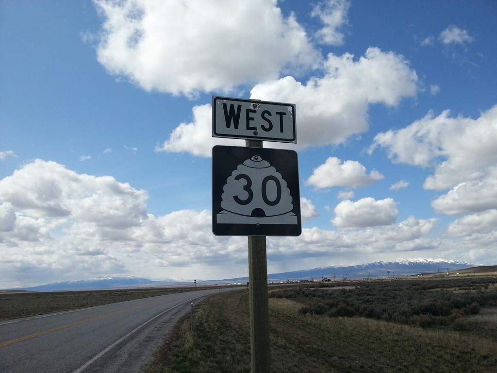
UT-30 West - Box Elder County
UT-30 west in Box Elder County.
Taken 03-31-2014
 Snowville
Box Elder County
Utah
United States
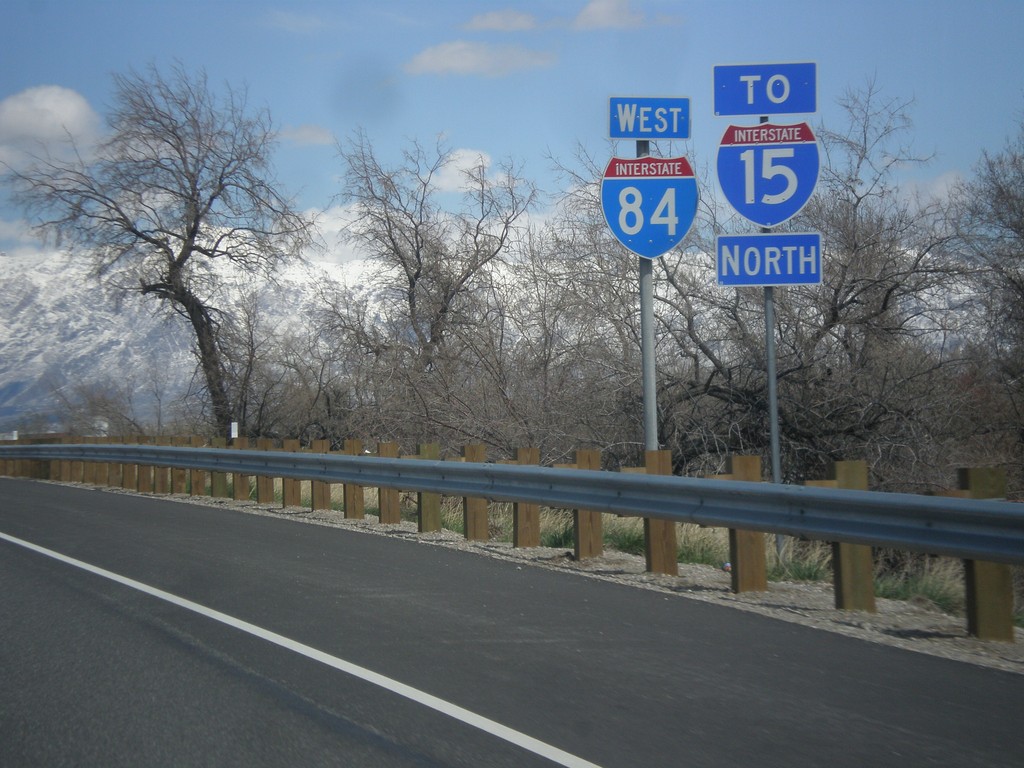
I-84 West/To I-15 North
I-84 West/To I-15 North approaching I-15 junction in Riverdale.
Taken 03-31-2014

 Ogden
Weber County
Utah
United States
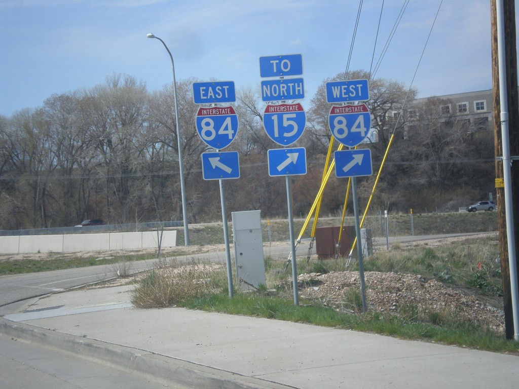
UT-26 West at I-84
UT-26 west at I-84. Turn right for I-84 West/To I-15 North. Continue over bridge for I-84 East.
Taken 03-31-2014


 Riverdale
Weber County
Utah
United States
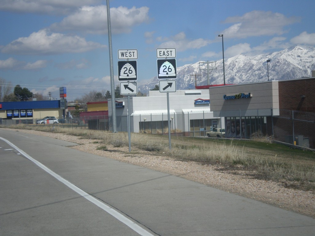
I-84 West - Exit 81 Offramp at UT-26
I-84 West offramp at UT-26.
Taken 03-31-2014

 Riverdale
Weber County
Utah
United States
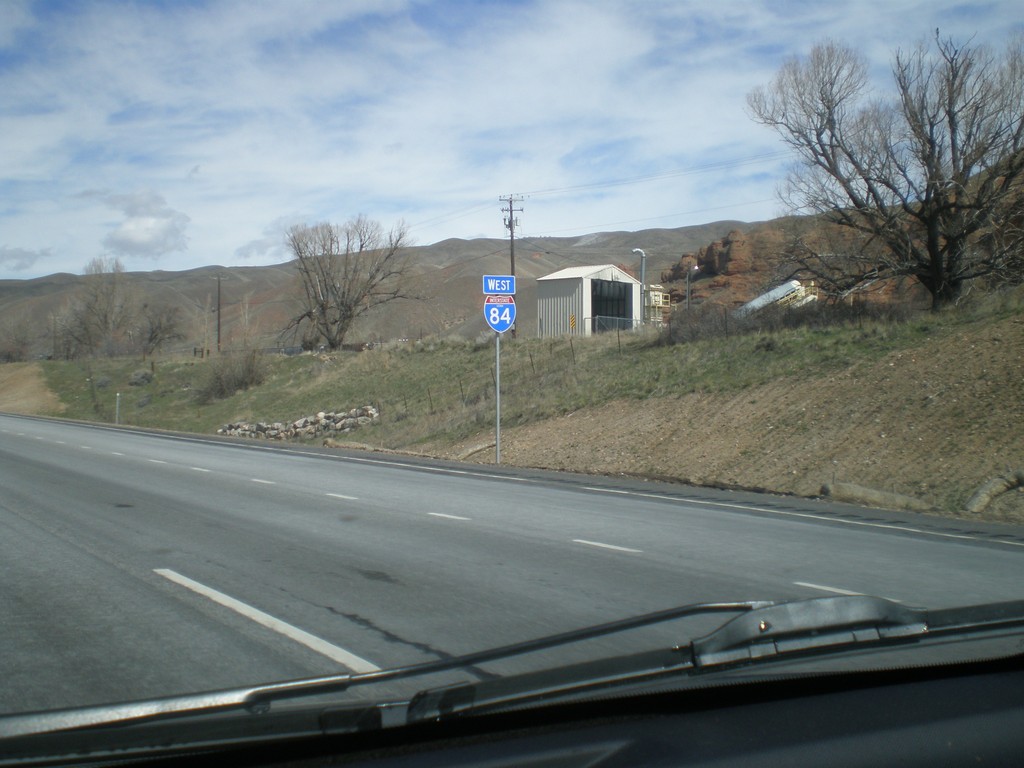
I-84 West - Utah
First shield on I-84 west. The picture is fuzzy, but the shield contains the word UTAH.
Taken 03-31-2014
 Coalville
Summit County
Utah
United States
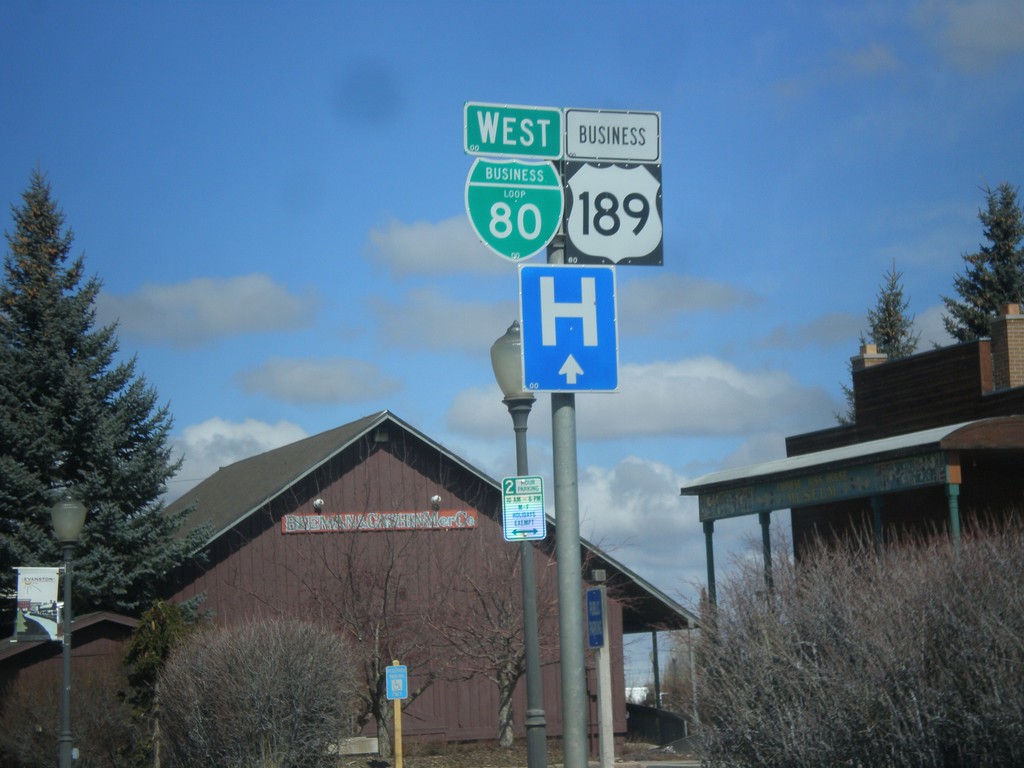
BL-80 West/Business US-189 South - Evanston
BL-80 West/Business US-189 South in Evanston.
Taken 03-31-2014

 Evanston
Uinta County
Wyoming
United States
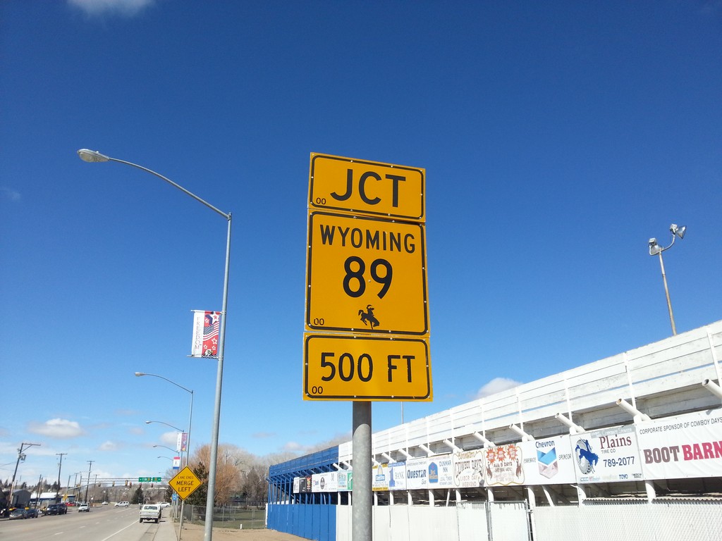
BL-80/Bus. US-189 West Approaching WY-89
BL-80/Bus. US-189 West approaching WY-89 in Evanston.
Taken 03-31-2014


 Evanston
Uinta County
Wyoming
United States
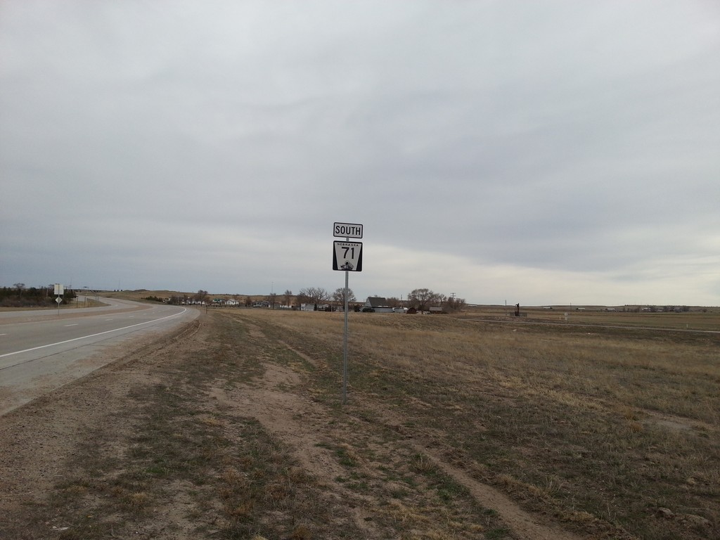
NE-71 South - Kimball County
NE-71 south in Kimball County, Nebraska.
Taken 03-30-2014
 Kimball
 County
Nebraska
United States
Kimball
Kimball County
Nebraska
United States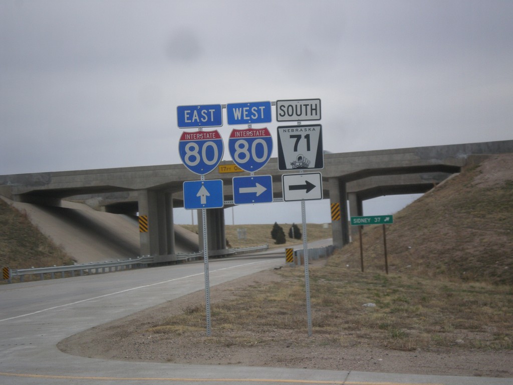
NE-71 South at I-80
NE-71 south at I-80. Turn right for I-80 West/NE-71 South; continue under overpass for I-80 East.
Taken 03-30-2014

 Kimball
 County
Nebraska
United States
Kimball
Kimball County
Nebraska
United States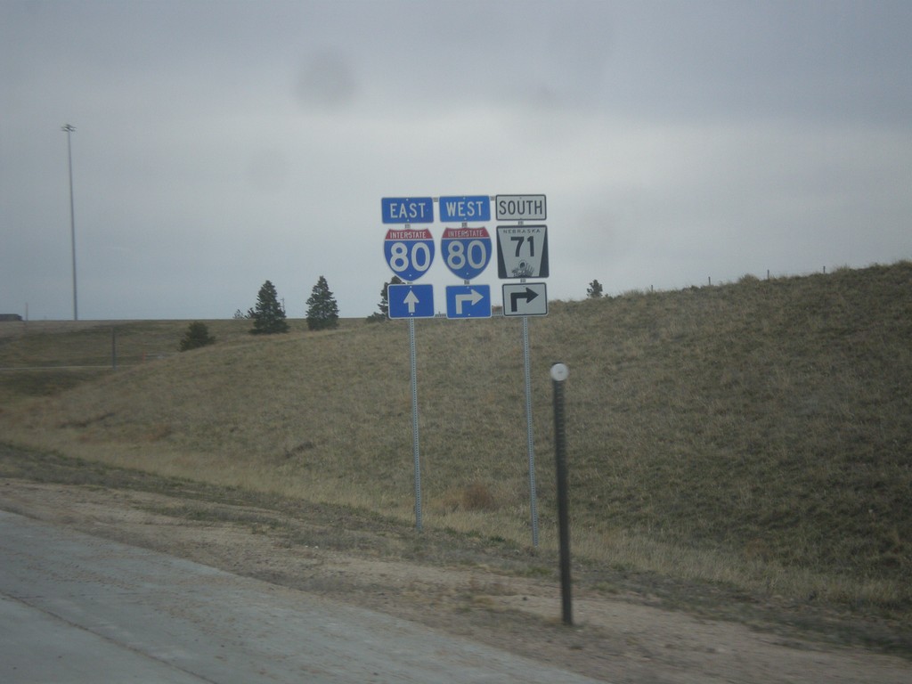
NE-71 South Approaching I-80
NE-71 south approaching I-80. NE-71 south joins I-80 west through Kimball.
Taken 03-30-2014

 Kimball
 County
Nebraska
United States
Kimball
Kimball County
Nebraska
United States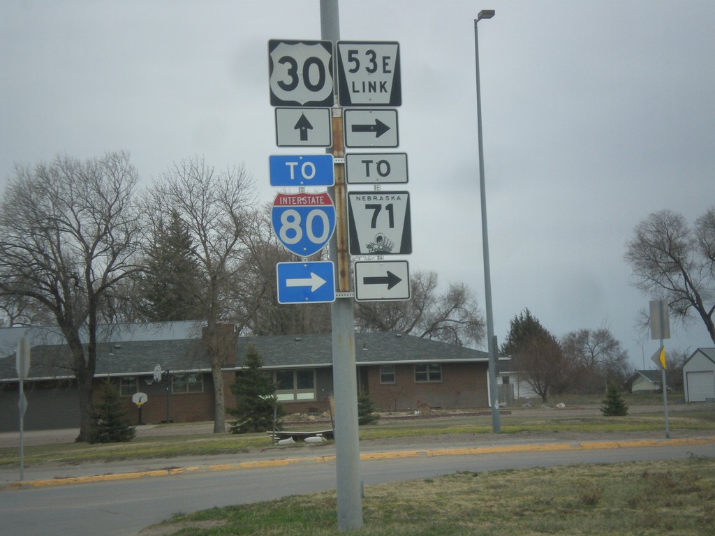
US-30 East at NE-53E Link
US-30 east at NE-53E Link. Use NE-53E Link for NE-71 and I-80 (via NE-71).
Taken 03-30-2014


 Kimball
 County
Nebraska
United States
Kimball
Kimball County
Nebraska
United States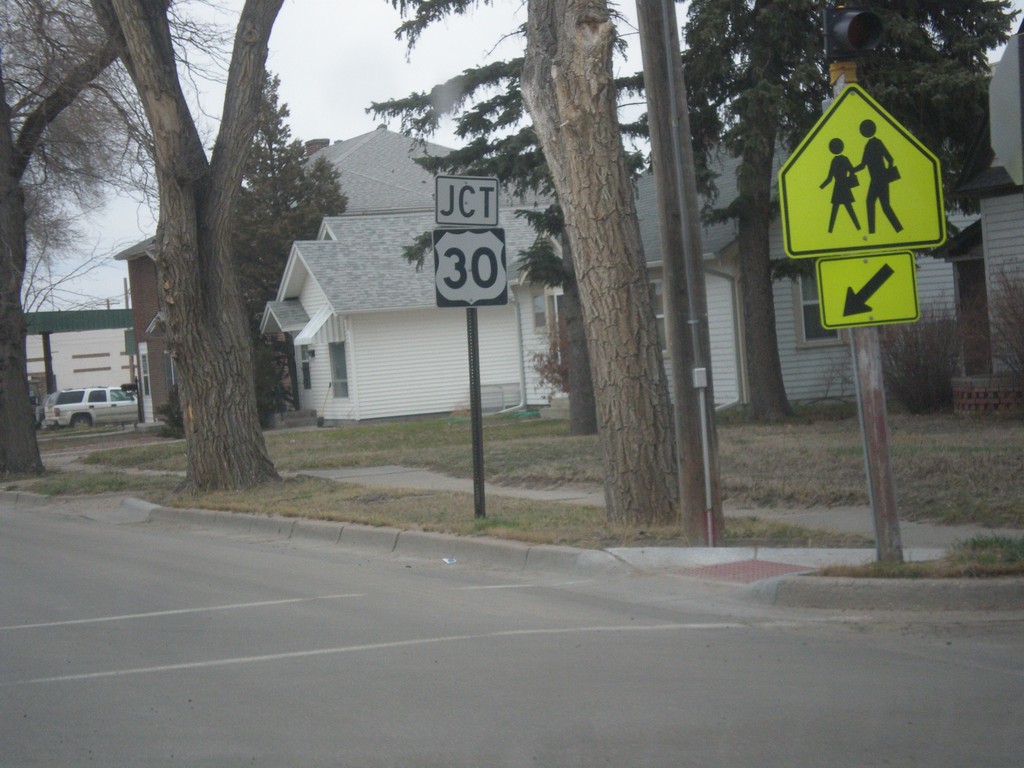
Chestnut St. North Approaching US-30
Chestnut St. North approaching US-30 in Kimball. Chestnut St. used to be the route of NE-71 before it was rerouted east of town.
Taken 03-30-2014
 Kimball
 County
Nebraska
United States
Kimball
Kimball County
Nebraska
United States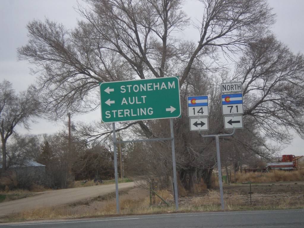
CO-71 North at CO-14
CO-71 north at CO-14. Use CO-14 east for Sterling; CO-14 west/CO-71 north for Stoneham and Ault. CO-71 north joins CO-14 to Stoneham.
Taken 03-30-2014

 Stoneham
Weld County
Colorado
United States
Hospital Road North at I-76 West
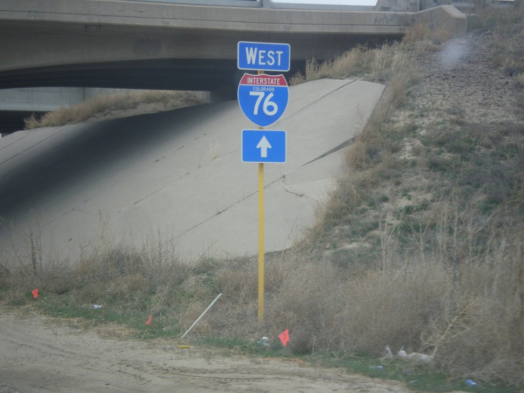
Hospital Road north approaching I-76 west.
Taken 03-30-2014
 Brush
Morgan County
Colorado
United States
US-34 West/CO-71 North at CO-71 North
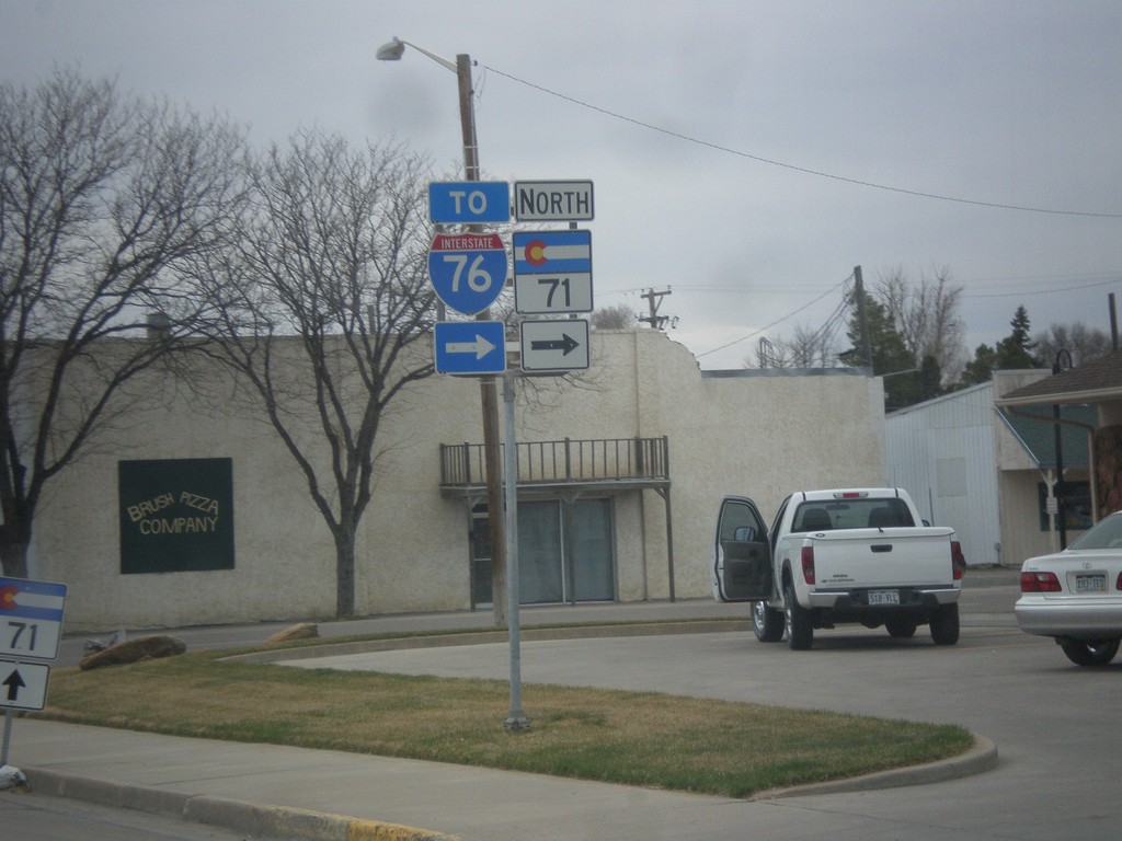
US-34 West/CO-71 North at CO-71 North to I-76.
Taken 03-30-2014


 Brush
Morgan County
Colorado
United States
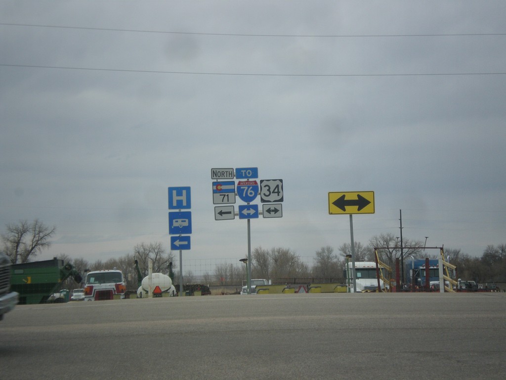
CO-71 North at US-34
CO-71 North at US-34. Turn right on US-34 for I-76 east. Turn left for CO-71 North/US-34 West.
Taken 03-30-2014

 Brush
Morgan County
Colorado
United States