Signs Tagged With Shield
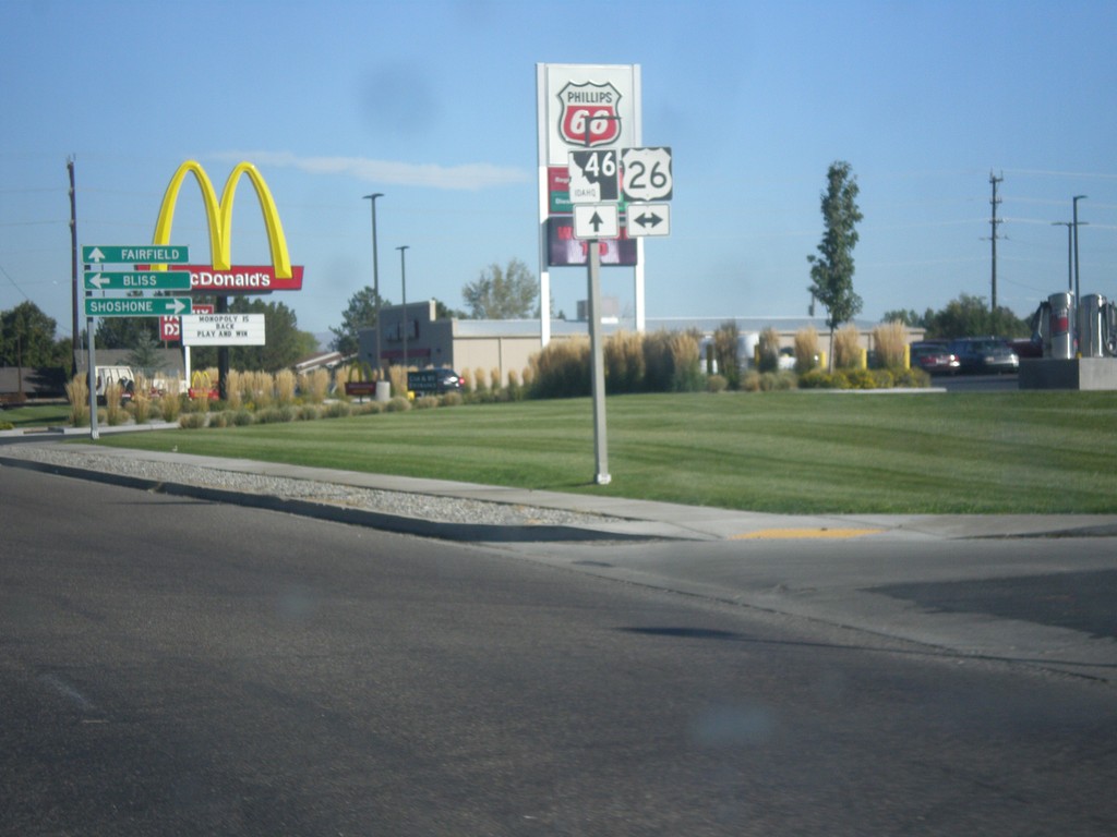
ID-46 North Approaching US-26
ID-46 North approaching US-26 in Gooding.
Taken 10-04-2014

 Gooding
 County
Idaho
United States
Gooding
Gooding County
Idaho
United States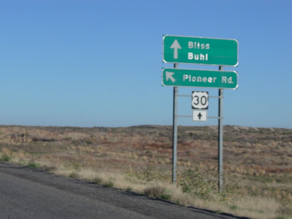
I-84 - Exit 137 Offramp at Pioneer Road
I-84 - Exit 137 Offramp at Pioneer Road. Merge left for Pioneer Road. Continue straight for US-30 to Bliss and Buhl.
Taken 10-03-2014


 Bliss
Gooding County
Idaho
United States
Bliss
Gooding County
Idaho
United States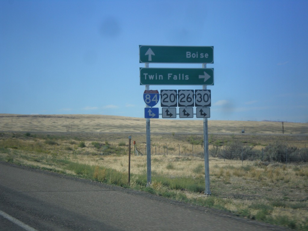
End BL-84 East at I-84 (Exit 90)
End BL-84 east at I-84, Exit 90 onramps. Use I-84/US-20/US-26/US-30 east for Twin Falls; use I-84/US-20/US-26/US-30 west for Boise. This is the western end of the Mountain Home business loop.
Taken 08-31-2014
 Mountain Home
Elmore County
Idaho
United States
Mountain Home
Elmore County
Idaho
United States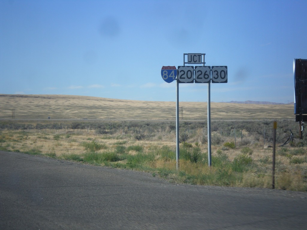
BL-84 West Approaching I-84
BL-84 west approaching I-84/US-20/US-26/US-30 in Mountain Home. This is the western end of the Mountain Home business loop.
Taken 08-31-2014
Mountain Home
Elmore County
Idaho
United States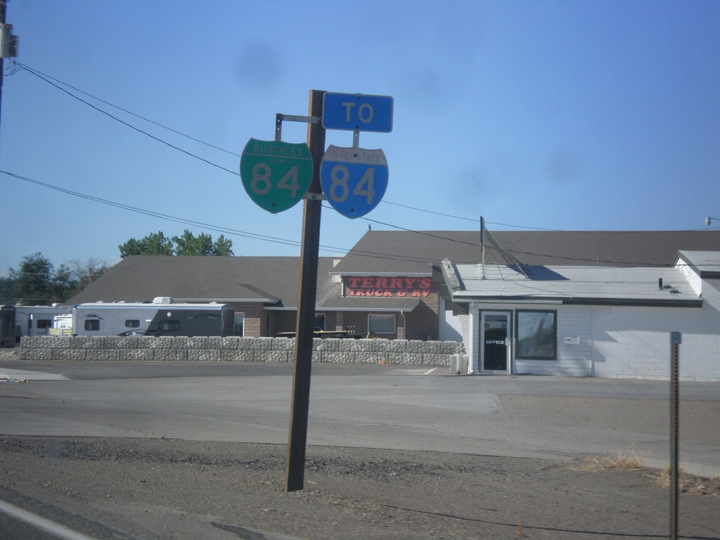
BL-84 West/To I-84
BL-84 West/To I-84 on the west side of Mountain Home.
Taken 08-31-2014
Mountain Home
Elmore County
Idaho
United States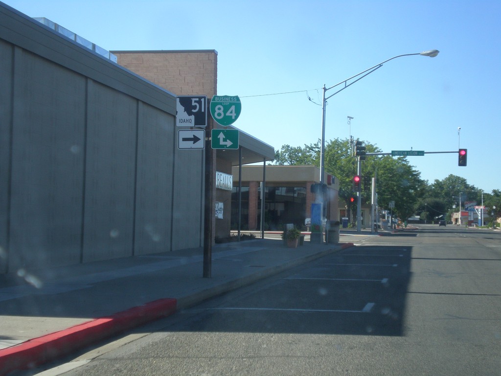
ID-51 North at BL-84
ID-51 North (Old US-30) at BL-84. Turn right on American Legion Blvd. for BL-84 east; continue straight for BL-84 west.
Taken 08-31-2014
 Mountain Home
Elmore County
Idaho
United States
Mountain Home
Elmore County
Idaho
United States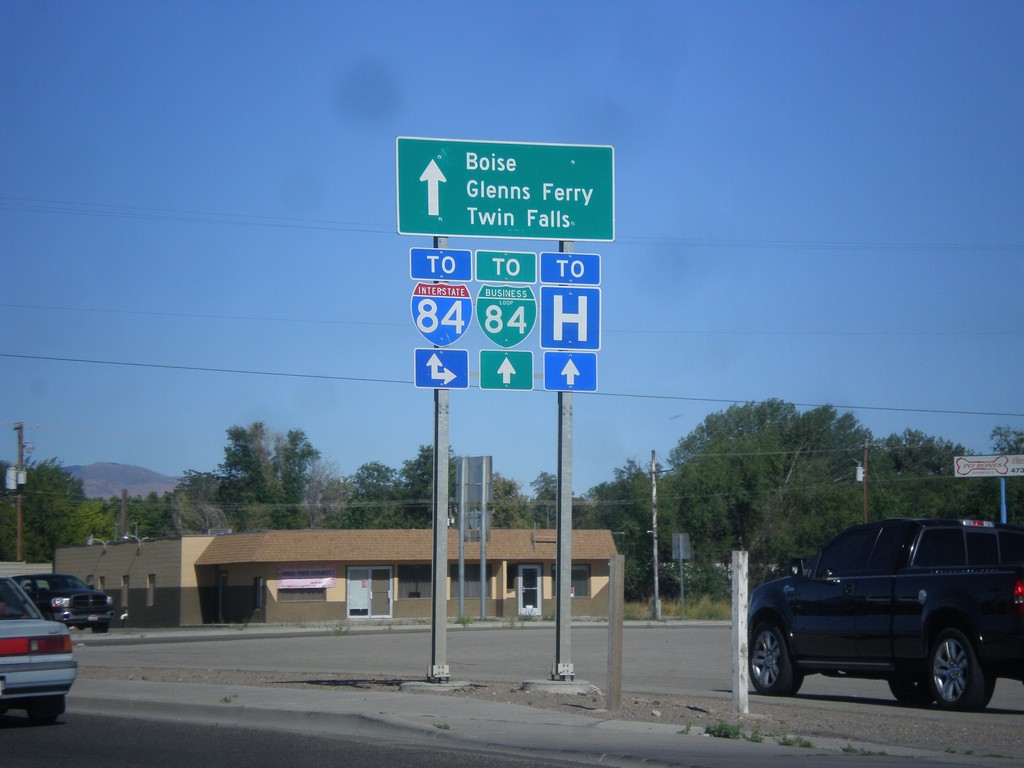
ID-51 North At Old US-30
ID-51 north at Old US-30. Use Old US-30 for I-84 eastbound access. Continue north on ID-51 for I-84, BL-84, Boise, Glenns Ferry, and Twin Falls. This intersection used to route Twin Falls traffic along Old US-30, but has recently been changed to route traffic along the business loop.
Taken 08-31-2014
Mountain Home
Elmore County
Idaho
United States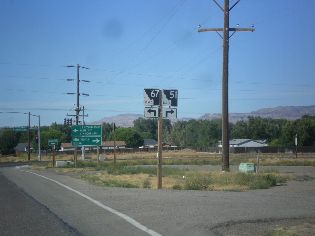
ID-51 North Approaching ID-67
ID-51 north approaching ID-67. Turn right to continue north on ID-51; left for ID-67.
Taken 08-31-2014
 Mountain Home
Elmore County
Idaho
United States
Mountain Home
Elmore County
Idaho
United States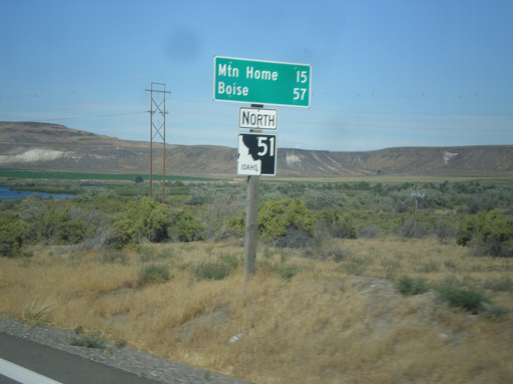
ID-51 North - Distance Marker
Distance marker on ID-51 north. Distance to Mountain Home and Boise.
Taken 08-31-2014
Mountain Home
Owyhee County
Idaho
United States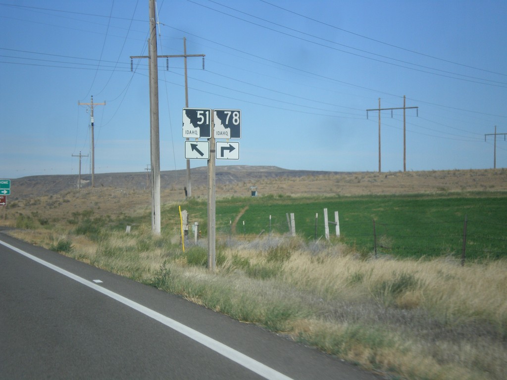
ID-51 North/ID-78 East at Split
ID-51 North/ID-78 East at split. Merge right to continue east on ID-78.
Taken 08-31-2014
 Mountain Home
Owyhee County
Idaho
United States
Mountain Home
Owyhee County
Idaho
United States
ID-51 North/ID-78 East - Distance Marker
Distance marker on ID-51 North/ID-78 East. Distance to Mountain Home and Boise.
Taken 08-31-2014
Bruneau
Owyhee County
Idaho
United States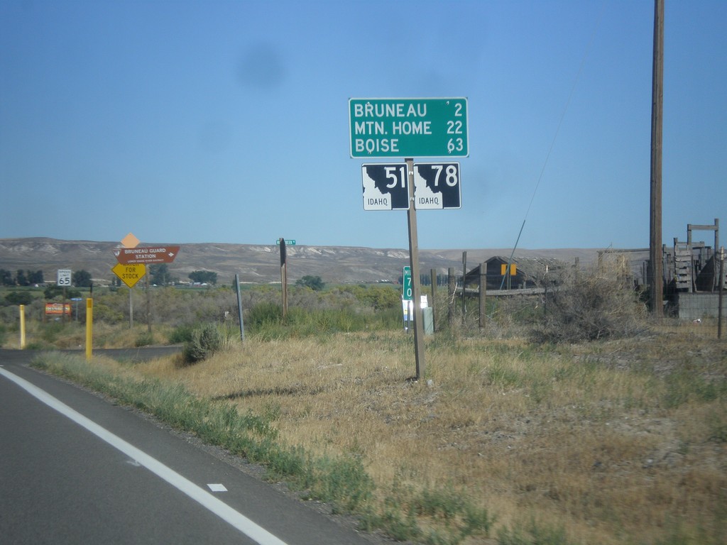
ID-51 North/ID-78 East - Distance Marker
Distance marker on ID-51 North/ID-78 East. Distance to Bruneau, Mountain Home, and Boise.
Taken 08-31-2014
Bruneau
Owyhee County
Idaho
United States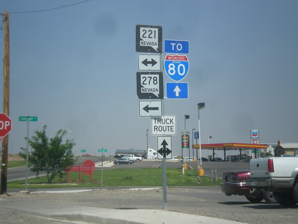
10th St. North at Chestnut St.
10th St. northbound at Chestnut St. (BL-80/NV-221) in Carlin. Use westbound Chestnut St. for NV-278. Continue north on 10th St. (NV-766) for I-80.
Taken 08-31-2014


 Carlin
Elko County
Nevada
United States
Carlin
Elko County
Nevada
United States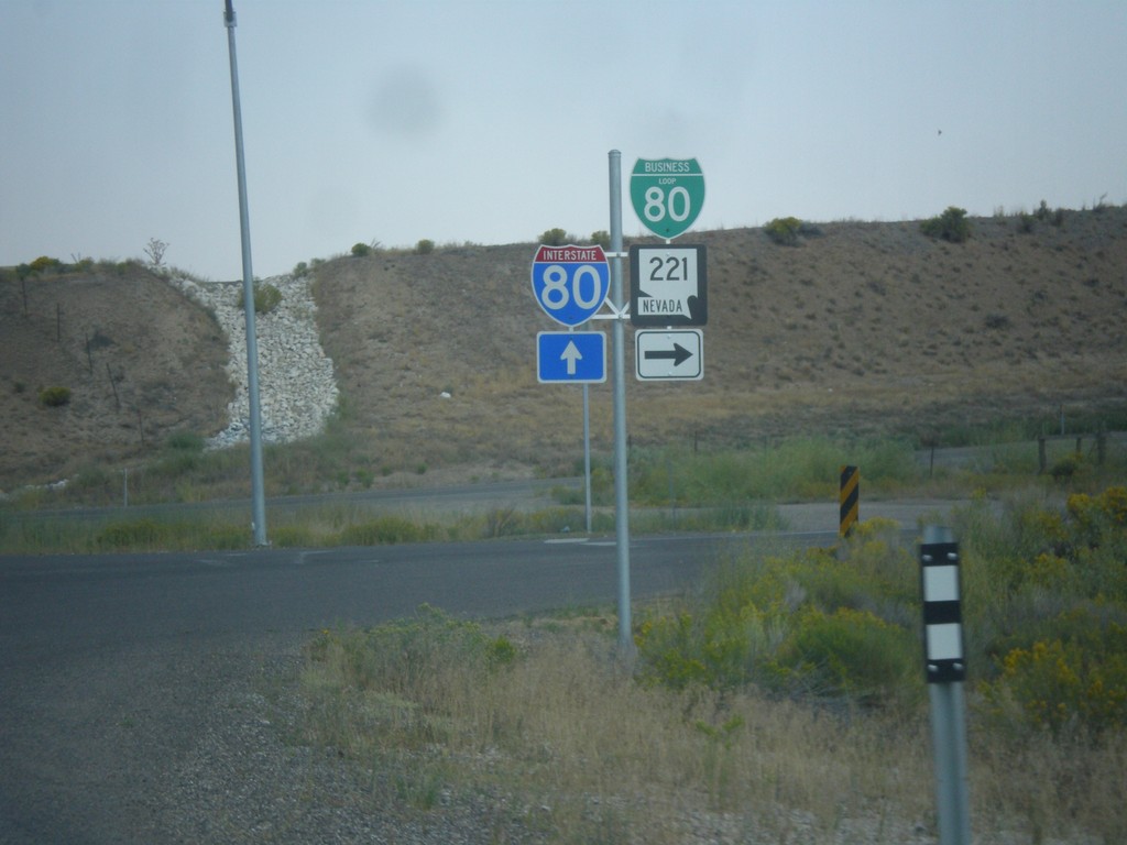
NV-278 North at BL-80/NV-221
NV-278 north at BL-80/NV-221. Continue north on NV-278 for I-80 junction.
Taken 08-31-2014
Carlin
Elko County
Nevada
United States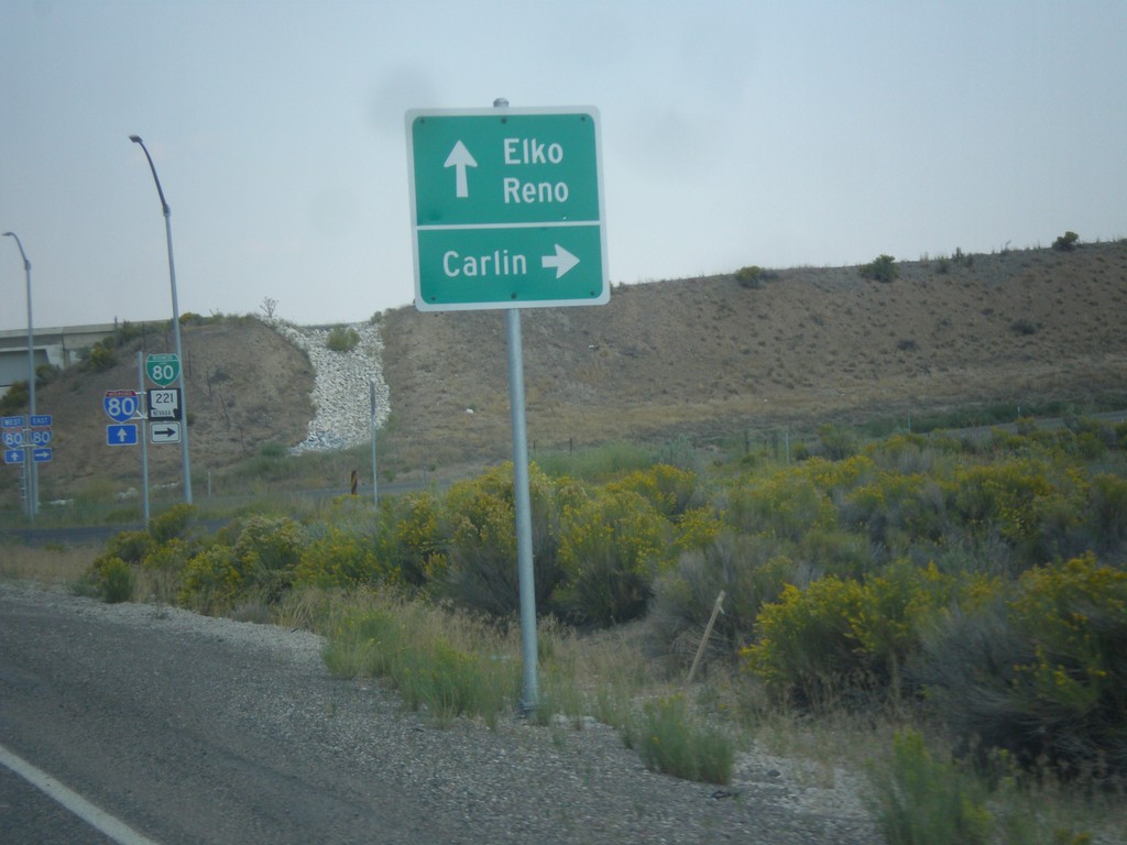
NV-278 North at BL-80/NV-221. Approaching I-80.
NV-278 at BL-80/NV-221 east to Carlin. Immediately after this intersection is the onramp for I-80 to Reno and Elko. This interchange was recently upgraded from a partial diamond to a full diamond that now has an eastbound ramp onto the freeway.
Taken 08-31-2014
Carlin
Elko County
Nevada
United States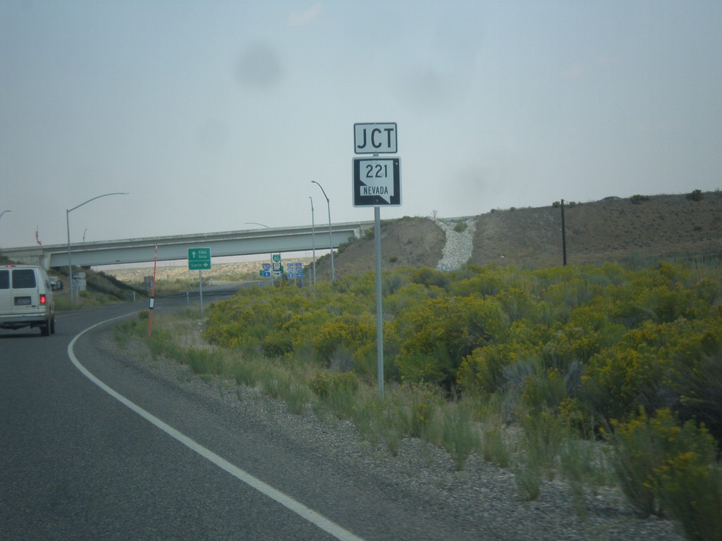
NV-278 North Approaching NV-221 (BL-80)
NV-278 North approaching NV-221 (BL-80) in Carlin.
Taken 08-31-2014
Carlin
Elko County
Nevada
United States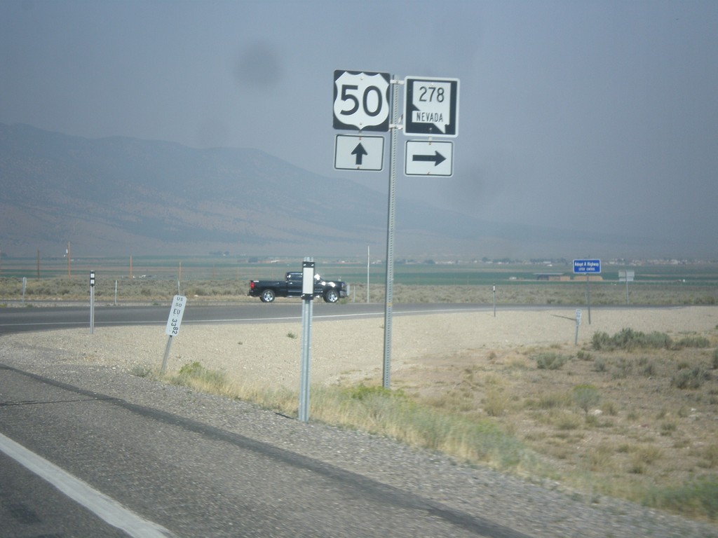
US-50 West at NV-278 North
US-50 west at NV-278 north. NV-278 connects US-50 north to I-80.
Taken 08-31-2014
 Eureka
 County
Nevada
United States
Eureka
Eureka County
Nevada
United States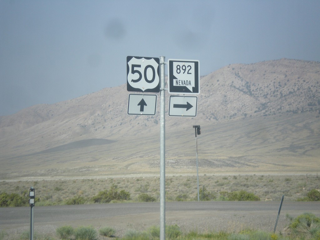
US-50 West at NV-892 North
US-50 West at NV-892 North to Strawberry.
Taken 08-31-2014
 Eureka
White Pine County
Nevada
United States
Eureka
White Pine County
Nevada
United States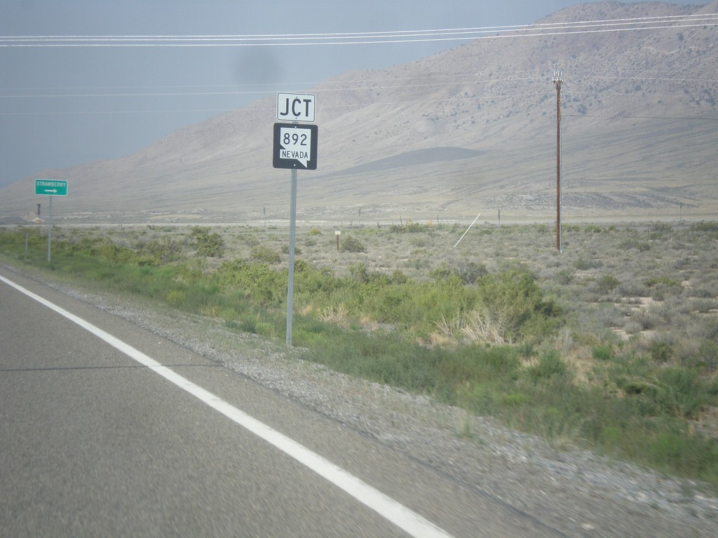
US-50 West Approaching NV-892
US-50 West approaching NV-892 junction in White Pine County.
Taken 08-31-2014
Eureka
White Pine County
Nevada
United States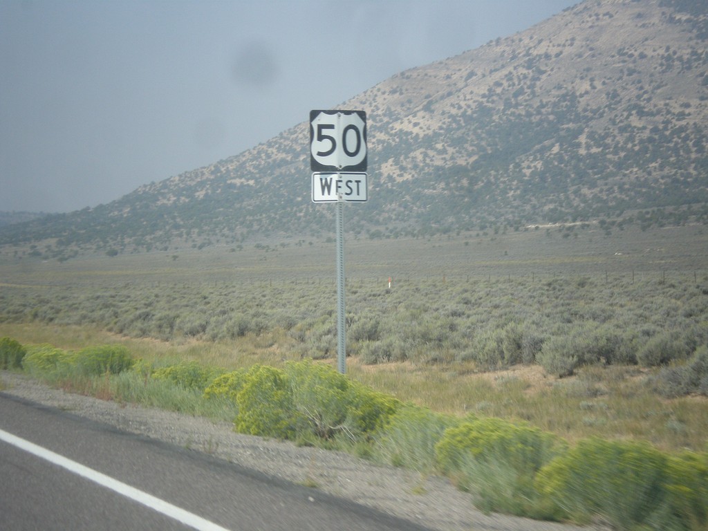
US-50 West - White Pine County
US-50 west in White Pine County.
Taken 08-31-2014
Ely
White Pine County
Nevada
United States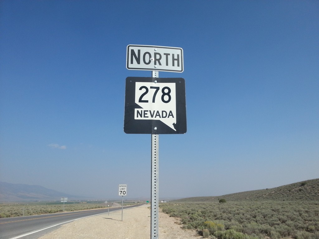
NV-278 North
NV-278 north in Eureka County. NV-278 connects US-50 near Eureka with I-80 at Carlin.
Taken 08-31-2014
Eureka
Eureka County
Nevada
United States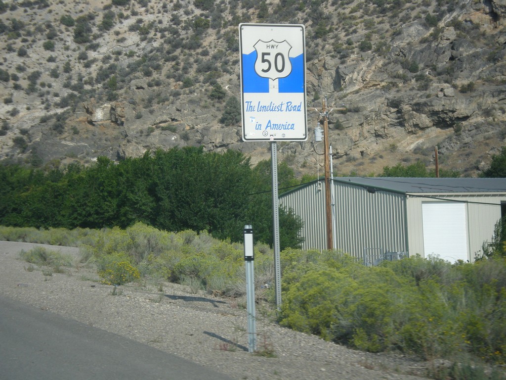
US-50 West - The Loneliest Road In America
The Loneliest Road in America on US-50 west. Taken at the west edge of Ely.
Taken 08-31-2014
Ely
White Pine County
Nevada
United States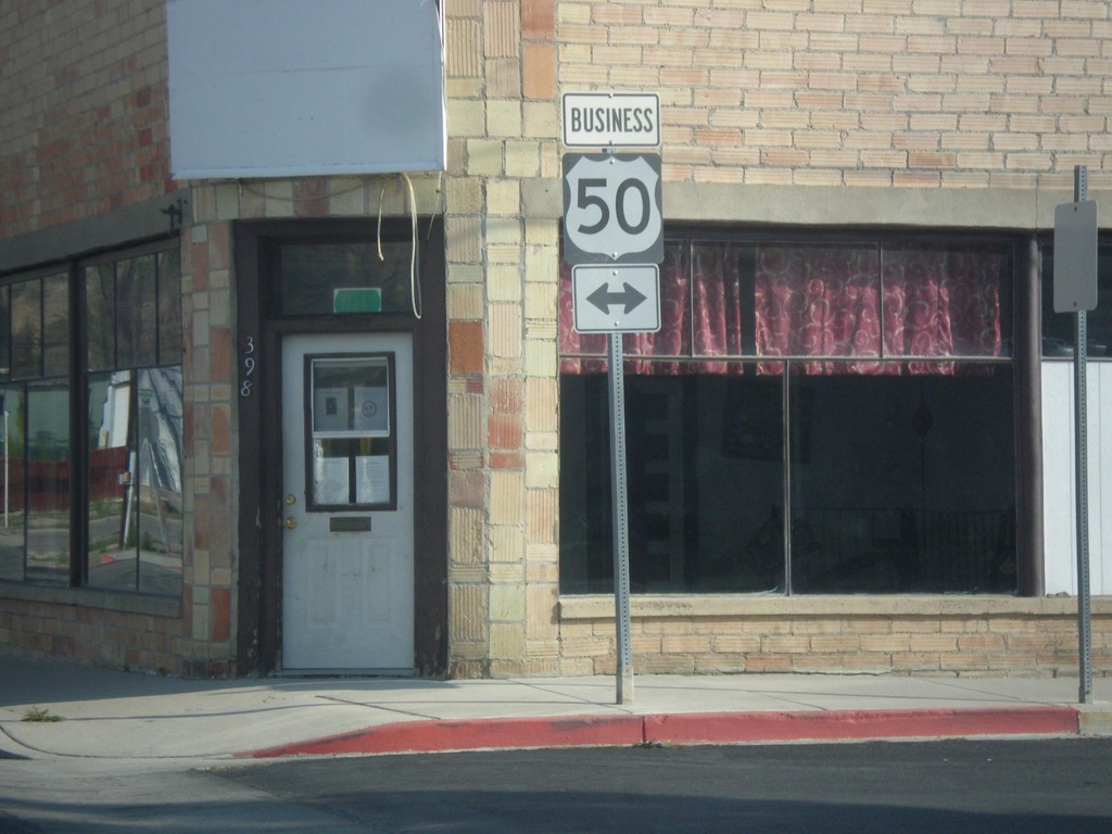
Mill St. at Clark St. (Bus. US-50)
Mill St. south at Clark St. in downtown Ely. Clark St. is one block south of the main route of US-50 and is signed as Bus. US-50. In this picture Bus. US-50 is shown as going in both directions, but Clark St. is one way eastbound.
Taken 08-31-2014
 Ely
White Pine County
Nevada
United States
Ely
White Pine County
Nevada
United States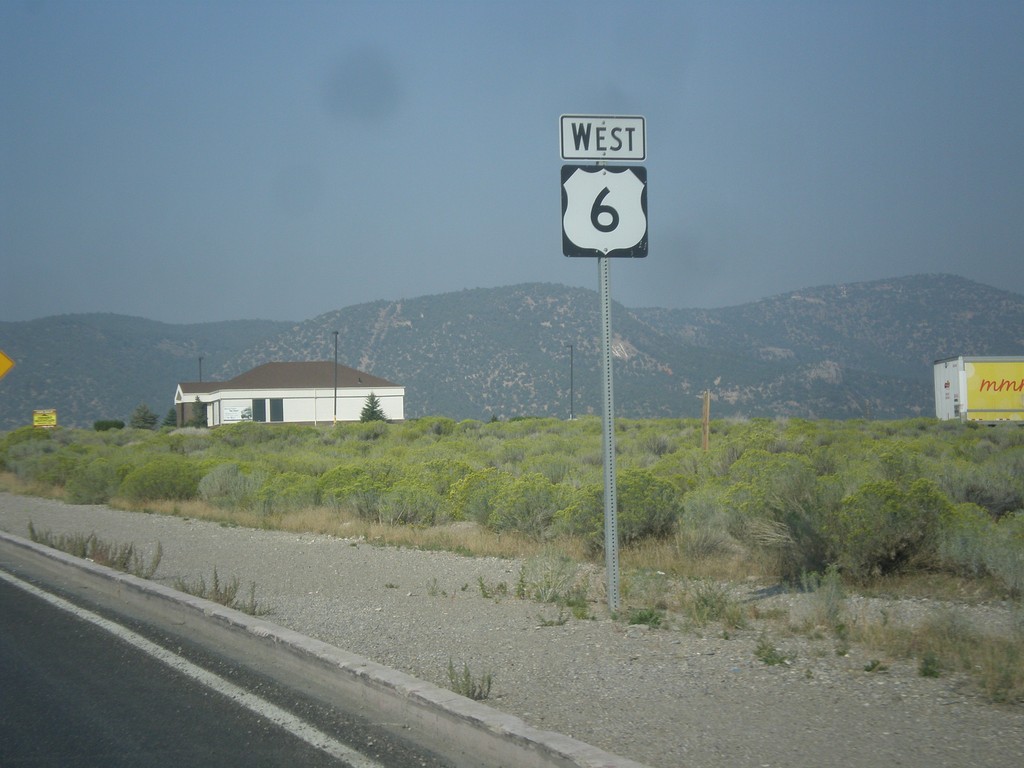

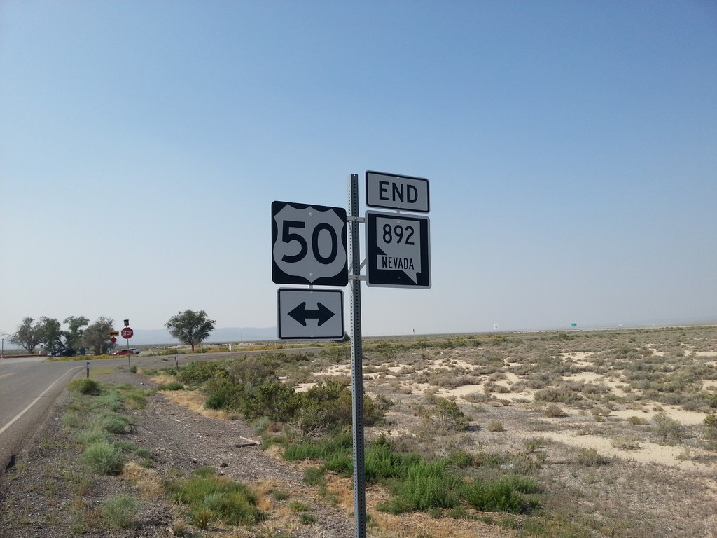
End NV-892 South at US-50
End NV-892 south at US-50 in White Pine County.
Taken 08-31-2014
Eureka
White Pine County
Nevada
United States