Signs Tagged With Shield
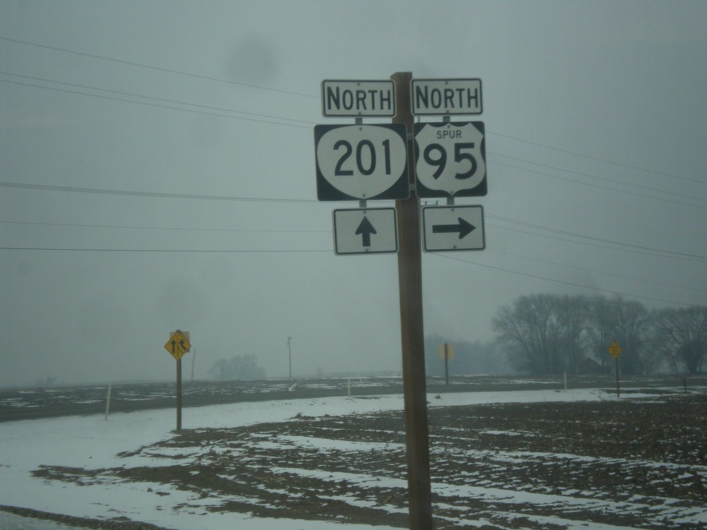
OR-201 North at US-95 Spur
OR-201 north at US-95 Spur north to Weiser, Idaho.
Taken 12-15-2013

 Ontario
Malheur County
Oregon
United States
Ontario
Malheur County
Oregon
United States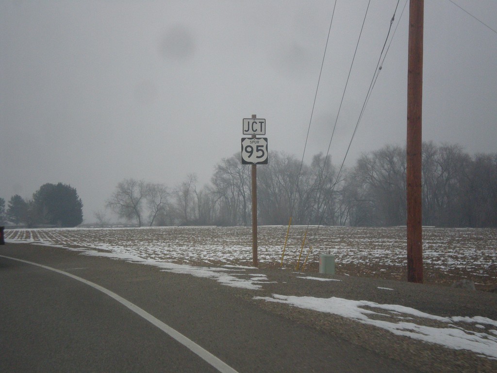
OR-201 North Approaching US-95 Spur
OR-201 North approaching US-95 Spur near Annex.
Taken 12-15-2013
Ontario
Malheur County
Oregon
United States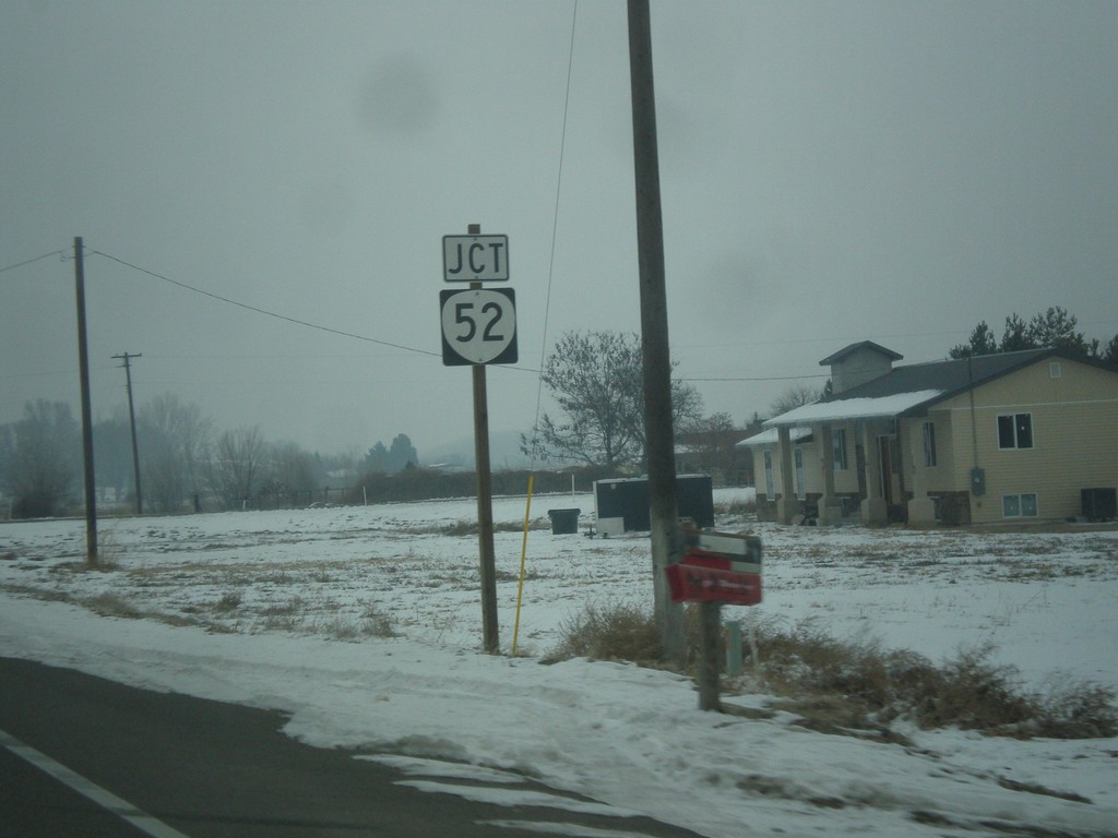
OR-201 North Approaching OR-52
OR-201 North approaching OR-52. OR-52 is a short highway connecting OR-201 with ID-52 in Payette, Idaho.
Taken 12-15-2013
 Ontario
Malheur County
Oregon
United States
Ontario
Malheur County
Oregon
United States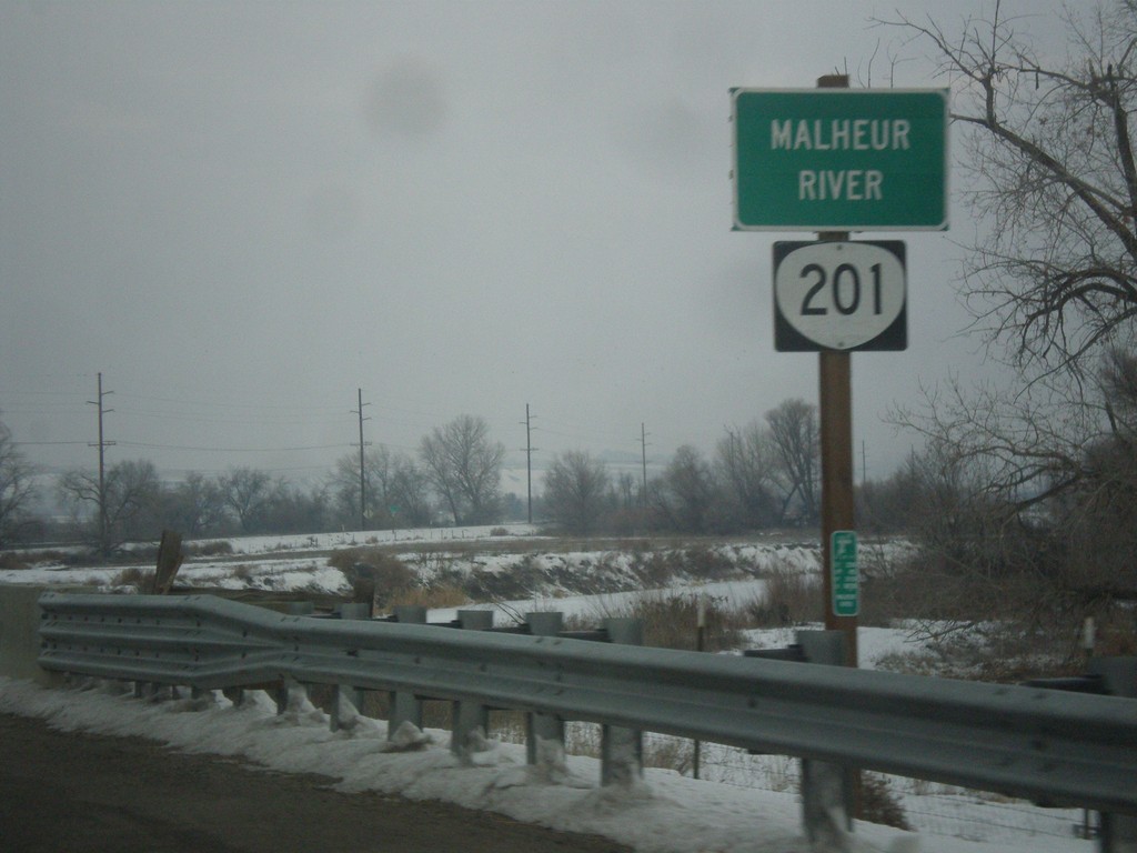
OR-201 North - Malheur River
OR-201 north at the Malheur River bridge. The Malheur River flows into the Snake River just east of here.
Taken 12-15-2013
Ontario
Malheur County
Oregon
United States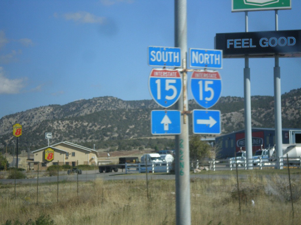
UT-28 North at I-15
UT-28 north at I-15 junction in Nephi.
Taken 10-18-2013

 Nephi
Juab County
Utah
United States
Nephi
Juab County
Utah
United States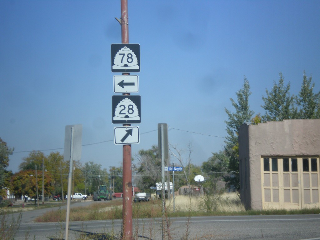
UT-28 North at UT-78
UT-28 north at UT-78 in Levan.
Taken 10-18-2013
 Levan
Juab County
Utah
United States
Levan
Juab County
Utah
United States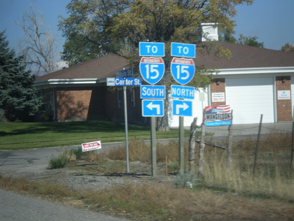
UT-28 North Approaching UT-78
UT-28 north approaching UT-78. Turn right for UT-28 north to I-15 North. Turn left for UT-78 west to I-15 South.
Taken 10-18-2013
Levan
Juab County
Utah
United States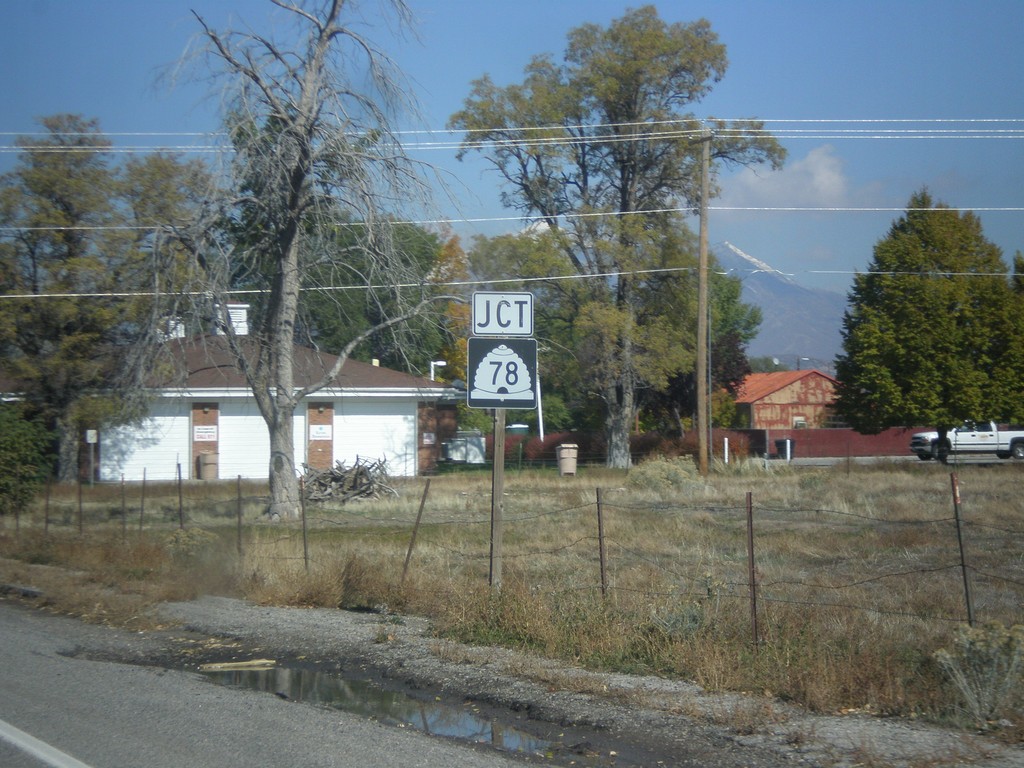
UT-28 North Approaching UT-78
UT-28 north approaching UT-78 in Levan.
Taken 10-18-2013
Levan
Juab County
Utah
United States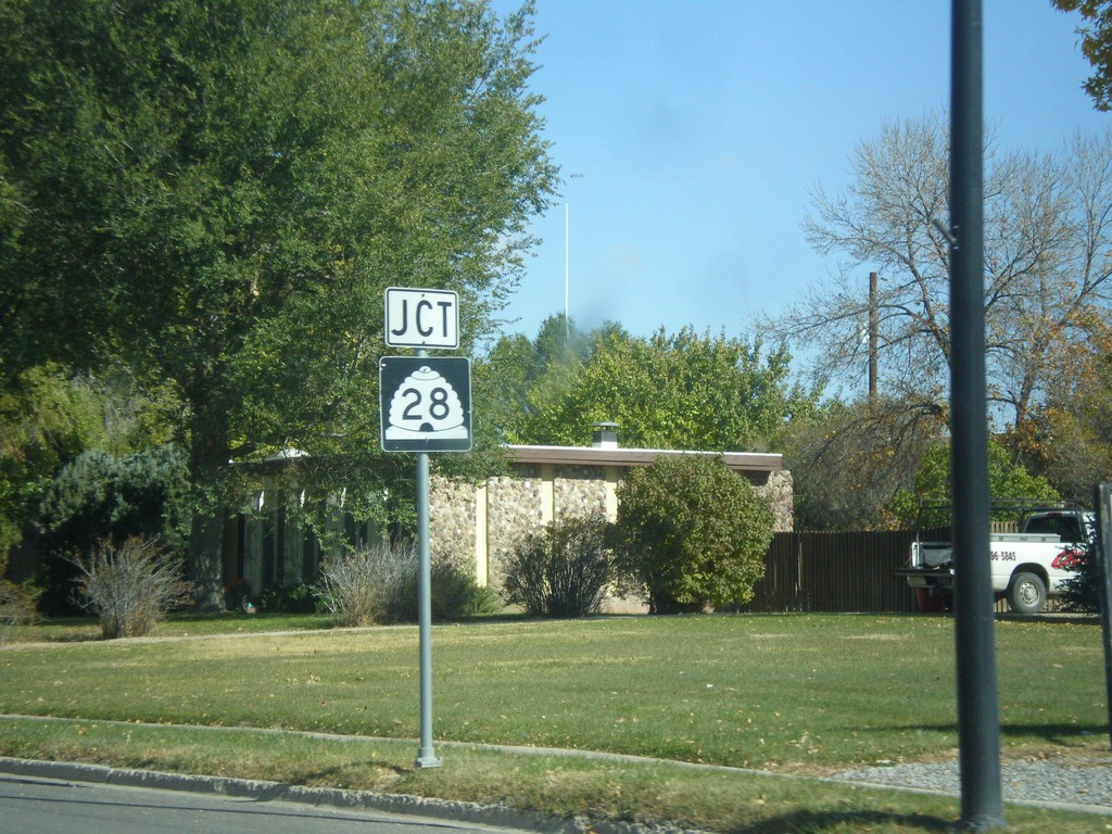
US-89 North Approaching UT-28
US-89 north approaching UT-28 in Gunnison.
Taken 10-18-2013
 Gunnison
Sanpete County
Utah
United States
Gunnison
Sanpete County
Utah
United States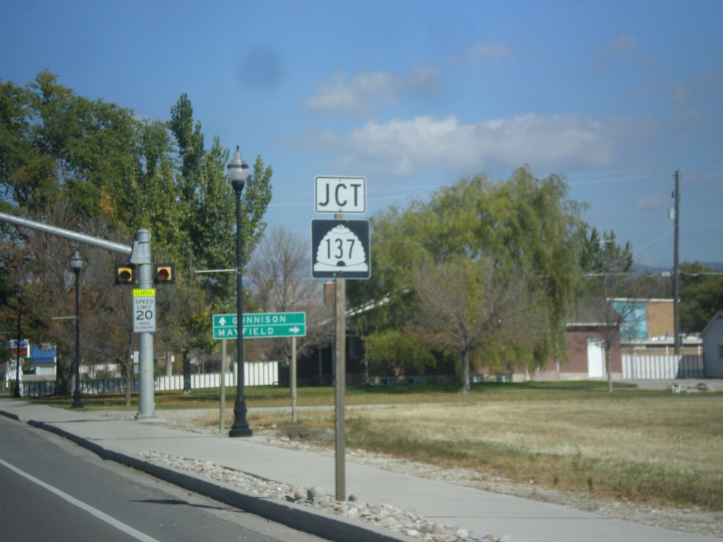
US-89 North Approaching UT-137
US-89 north approaching UT-137 in Gunnison.
Taken 10-18-2013
 Gunnison
Sanpete County
Utah
United States
Gunnison
Sanpete County
Utah
United States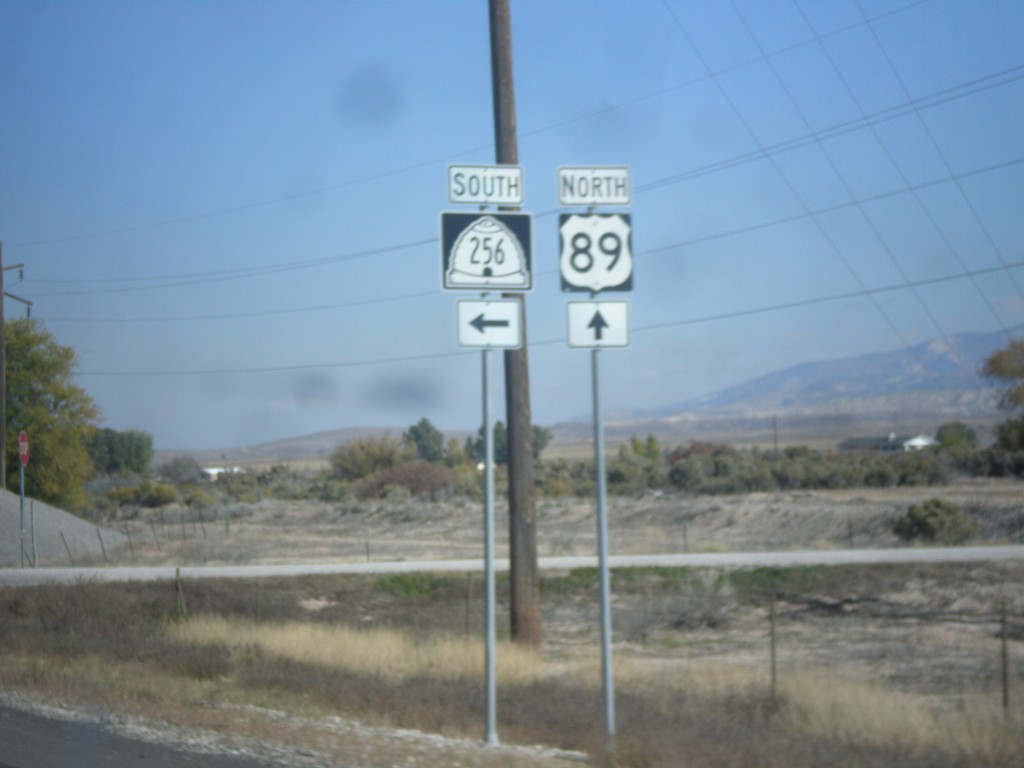
US-89 North at UT-256
US-89 north at UT-256 junction.
Taken 10-18-2013
 Axtell
Sanpete County
Utah
United States
Axtell
Sanpete County
Utah
United States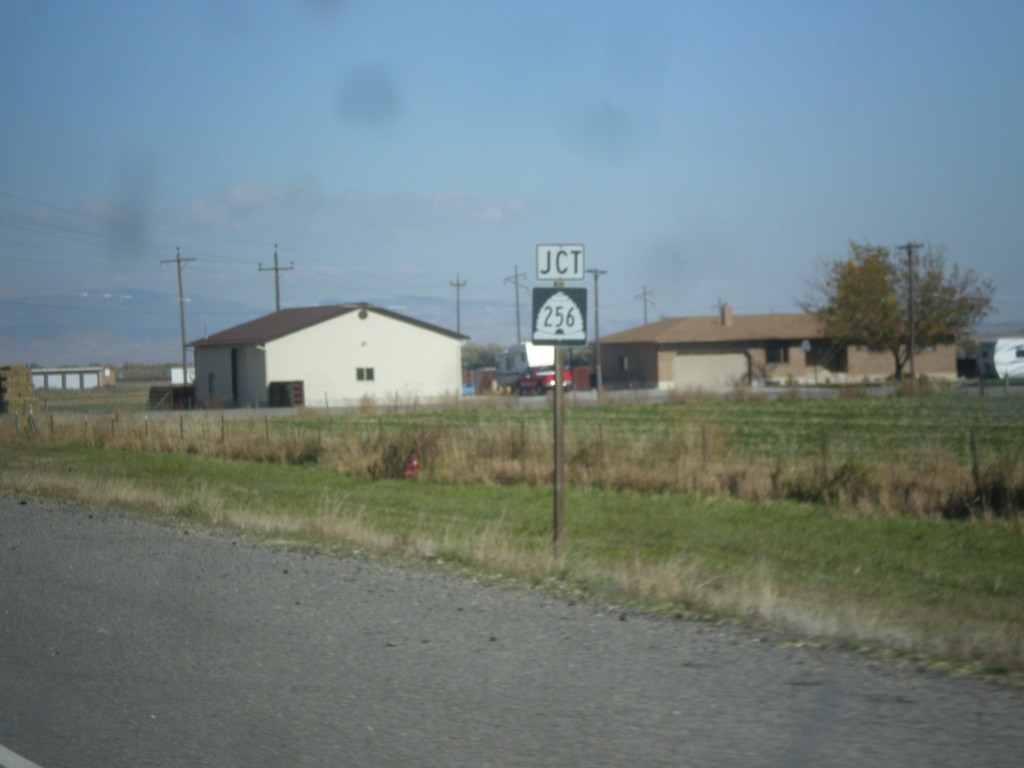
US-89 North Approaching UT-256
US-89 north approaching UT-256.
Taken 10-18-2013
Salina
Sevier County
Utah
United States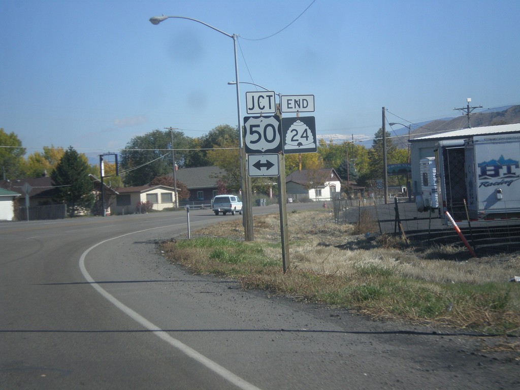
End UT-24 at US-50.
End UT-24 at US-50 in Salina.
Taken 10-18-2013

 Salina
Sevier County
Utah
United States
Salina
Sevier County
Utah
United States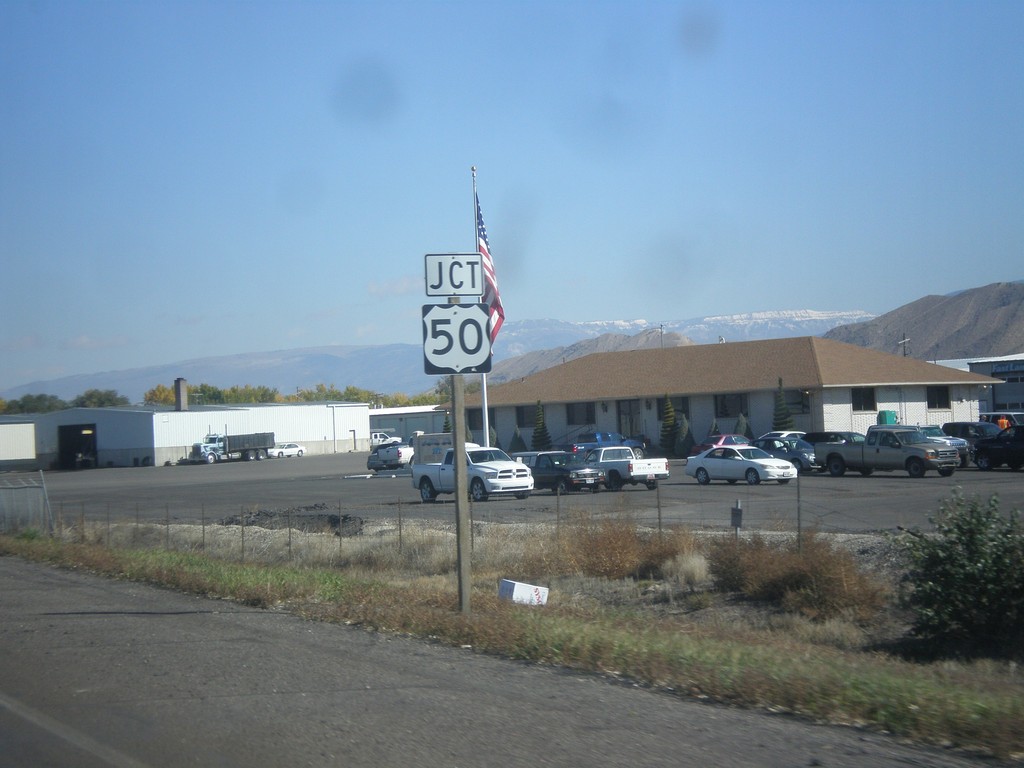
End UT-24 at US-50
End UT-24 at US-50 in Salina.
Taken 10-18-2013
Salina
Sevier County
Utah
United States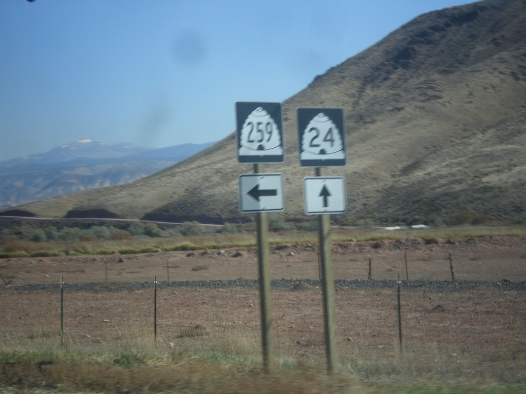
UT-24 West at UT-259
UT-24 west at UT-259 junction. UT-259 is a short spur between UT-24 and I-70.
Taken 10-18-2013
 Sigurd
Sevier County
Utah
United States
Sigurd
Sevier County
Utah
United States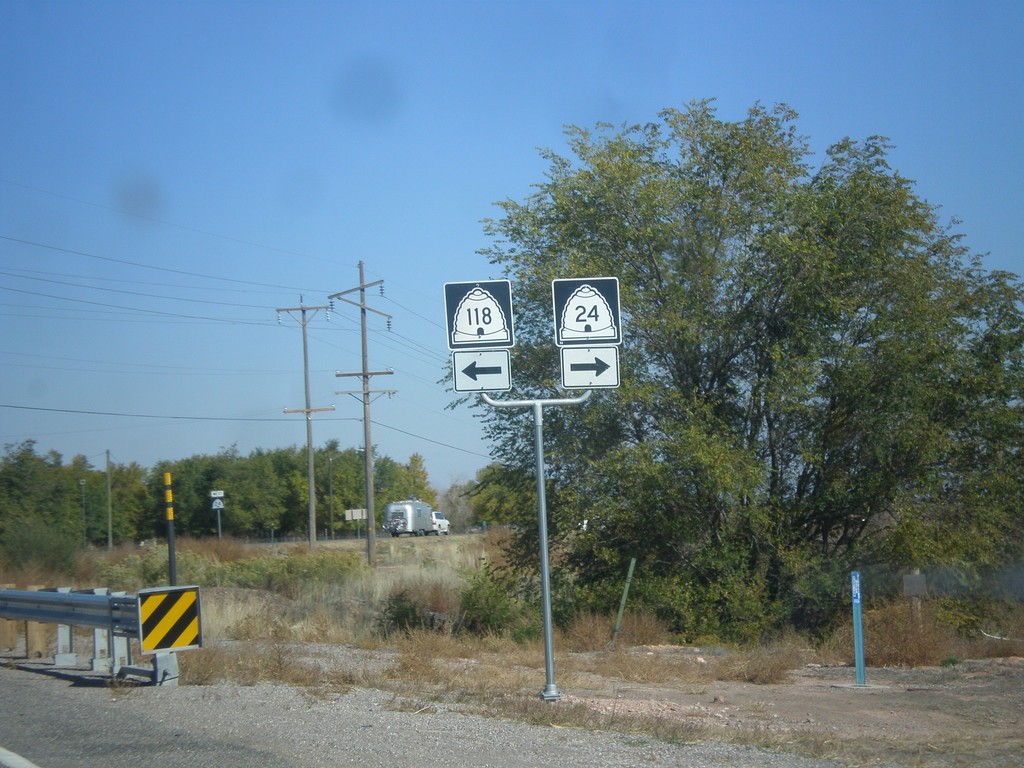
UT-24 West at UT-118
UT-24 west at UT-118. Turn right to continue west on UT-24.
Taken 10-18-2013
 Sigurd
Sevier County
Utah
United States
Sigurd
Sevier County
Utah
United States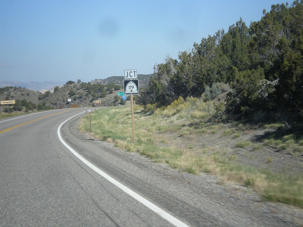
UT-24 West Approaching UT-119
UT-24 west approaching UT-119 in Sevier County.
Taken 10-18-2013
 Richfield
Sevier County
Utah
United States
Richfield
Sevier County
Utah
United States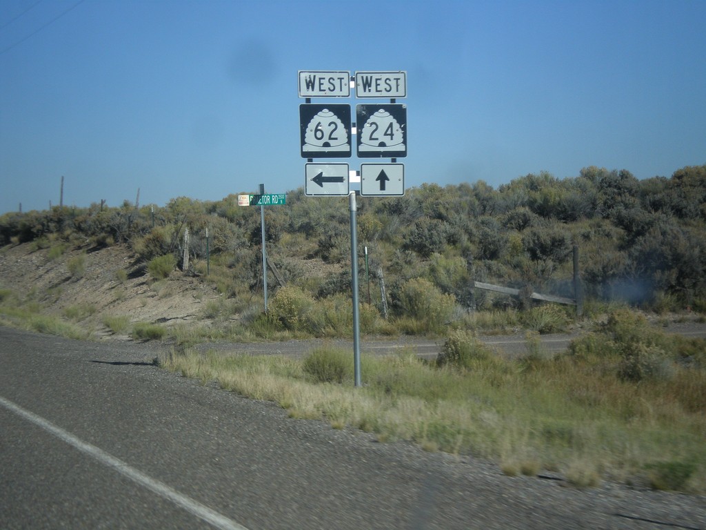
UT-24 West at UT-62 West
UT-24 west at UT-62 west in Sevier County.
Taken 10-18-2013
 Richfield
Sevier County
Utah
United States
Richfield
Sevier County
Utah
United States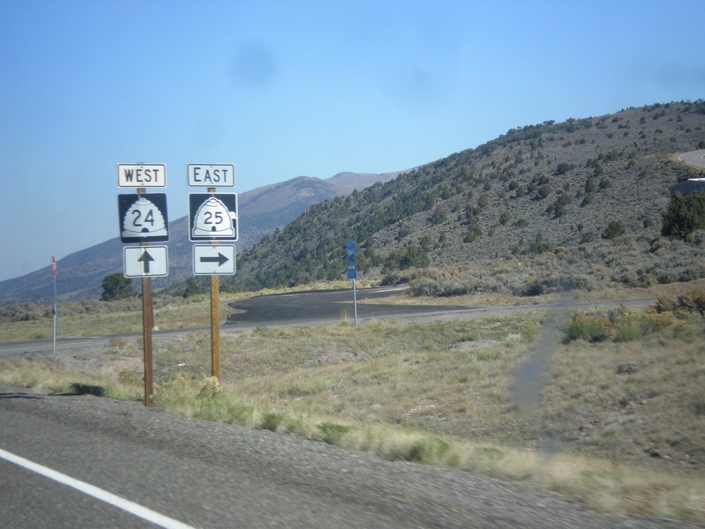
UT-24 West Approaching UT-25
UT-24 west approaching UT-25 in Piute County.
Taken 10-18-2013
 Koosharem
Piute County
Utah
United States
Koosharem
Piute County
Utah
United States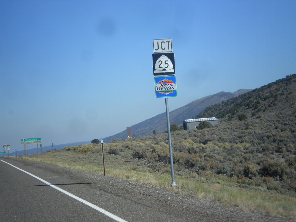
UT-24 West Approaching UT-25
UT-24 west approaching UT-25 in Piute County. UT-25 is part of the Fish Lake Scenic Byway.
Taken 10-18-2013
Koosharem
Piute County
Utah
United States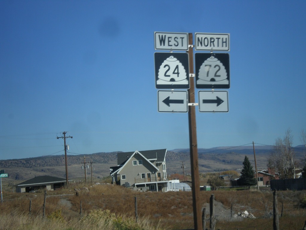

UT-24 West at UT-12
UT-24 west at UT-12 near Torrey.
Taken 10-18-2013
 Torrey
Wayne County
Utah
United States
Torrey
Wayne County
Utah
United States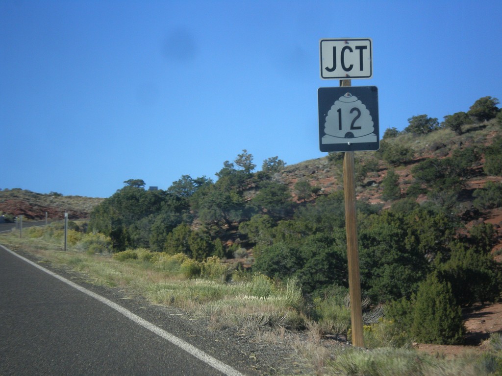
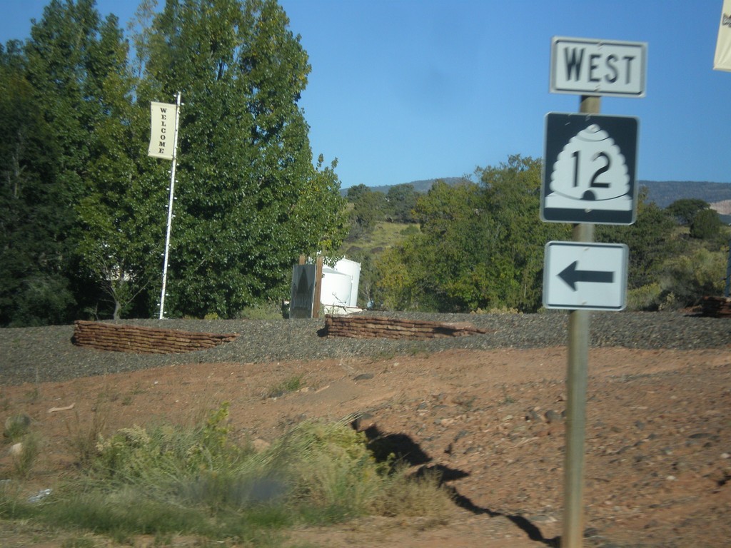
UT-24 West Approaching UT-12
UT-24 west approaching UT-12 near Torrey.
Taken 10-18-2013
Torrey
Wayne County
Utah
United States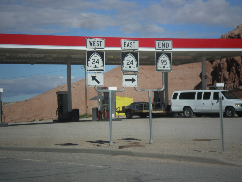
End UT-95 at UT-24
End UT-95 at UT-24 in Hanksville.
Taken 10-14-2013
 Hanksville
Wayne County
Utah
United States
Hanksville
Wayne County
Utah
United States
UT-95 West Approaching UT-24
UT-95 west approaching UT-24 in Hanksville. UT-24 west of Hanksville is designated the Capitol Reef Country Scenic Byway.
Taken 10-14-2013
Hanksville
Wayne County
Utah
United States