Signs Tagged With Shield

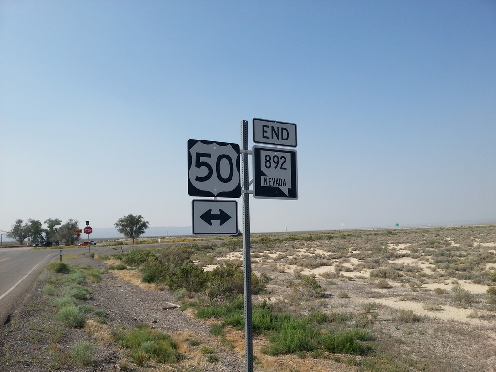
End NV-892 South at US-50
End NV-892 south at US-50 in White Pine County.
Taken 08-31-2014

 Eureka
White Pine County
Nevada
United States
Eureka
White Pine County
Nevada
United States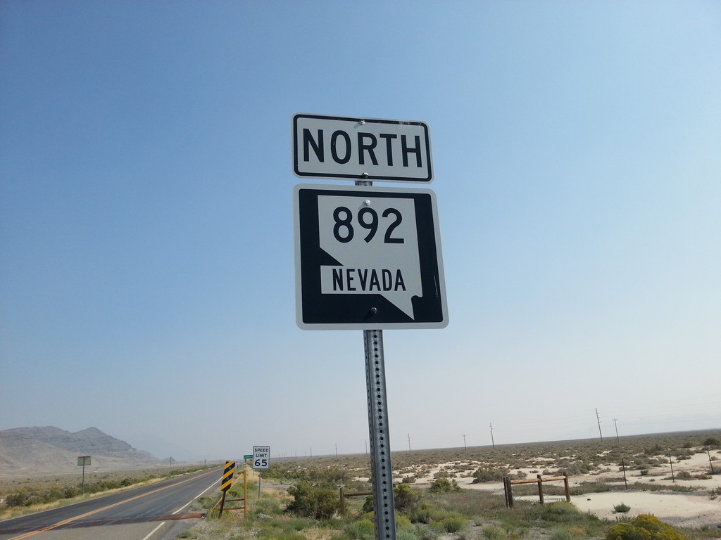
NV-892 North
NV-892 north in White Pine County. NV-892 connects US-50 with the community of Strawberry.
Taken 08-31-2014
Eureka
White Pine County
Nevada
United States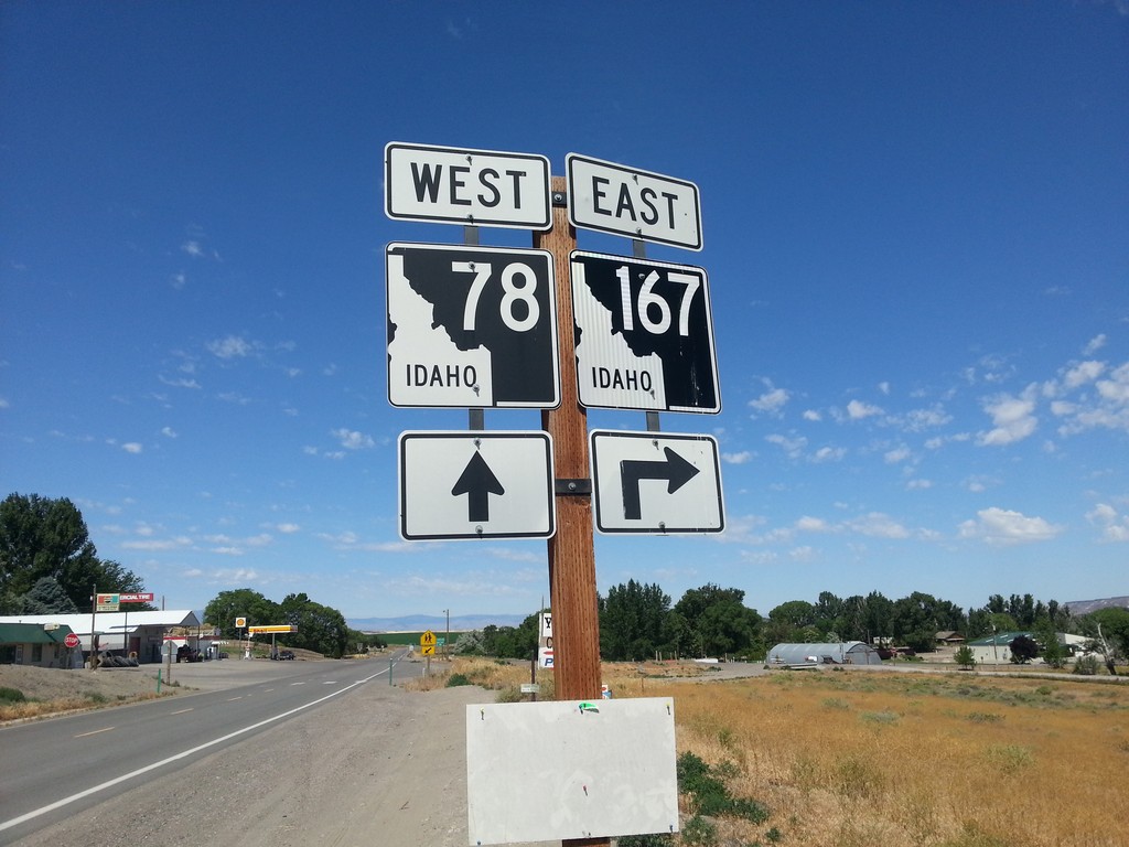
ID-78 West at ID-167 East
ID-78 west at ID-167 east in Grand View.
Taken 06-22-2014

 Grand View
Owyhee County
Idaho
United States
Grand View
Owyhee County
Idaho
United States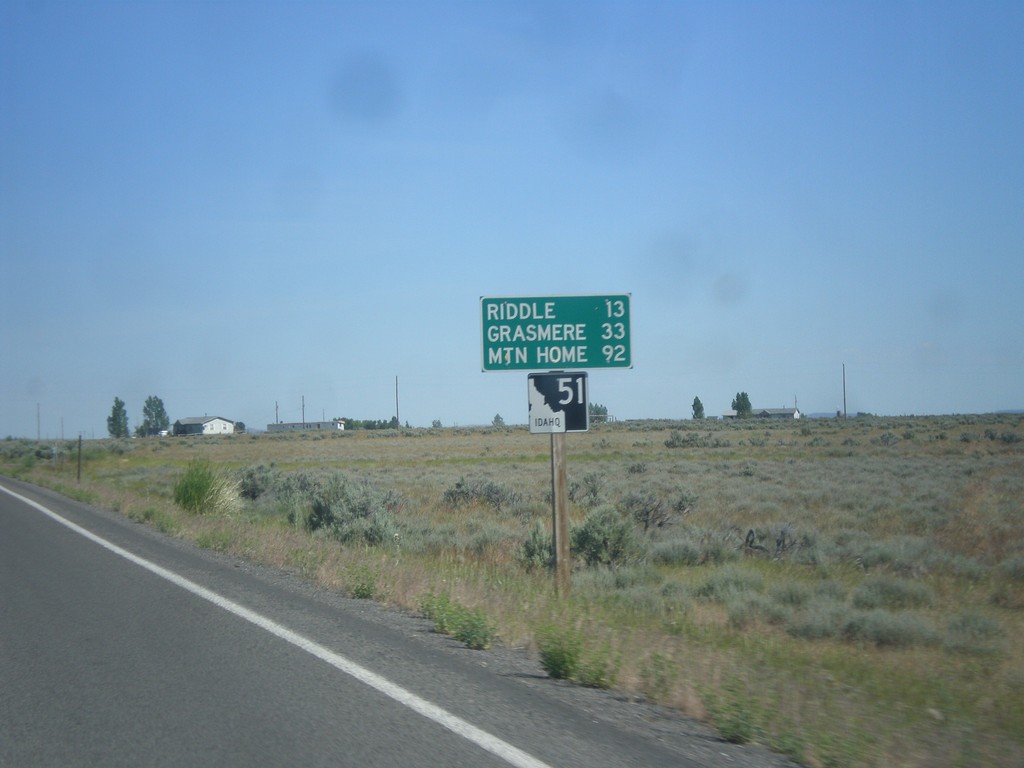
ID-51 North - Distance Marker
Distance marker on ID-51 north. Distance to Riddle, Grasmere, and Mountain Home. This is the first shield and distance marker along ID-51 after the stateline.
Taken 06-21-2014
 Owyhee
 County
Idaho
United States
Owyhee
Owyhee County
Idaho
United States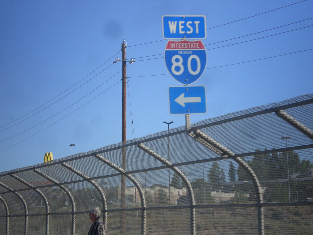
NV-225 North at I-80 West
NV-225 north at I-80 West (Exit 301).
Taken 06-21-2014

 Elko
Elko County
Nevada
United States
Elko
Elko County
Nevada
United States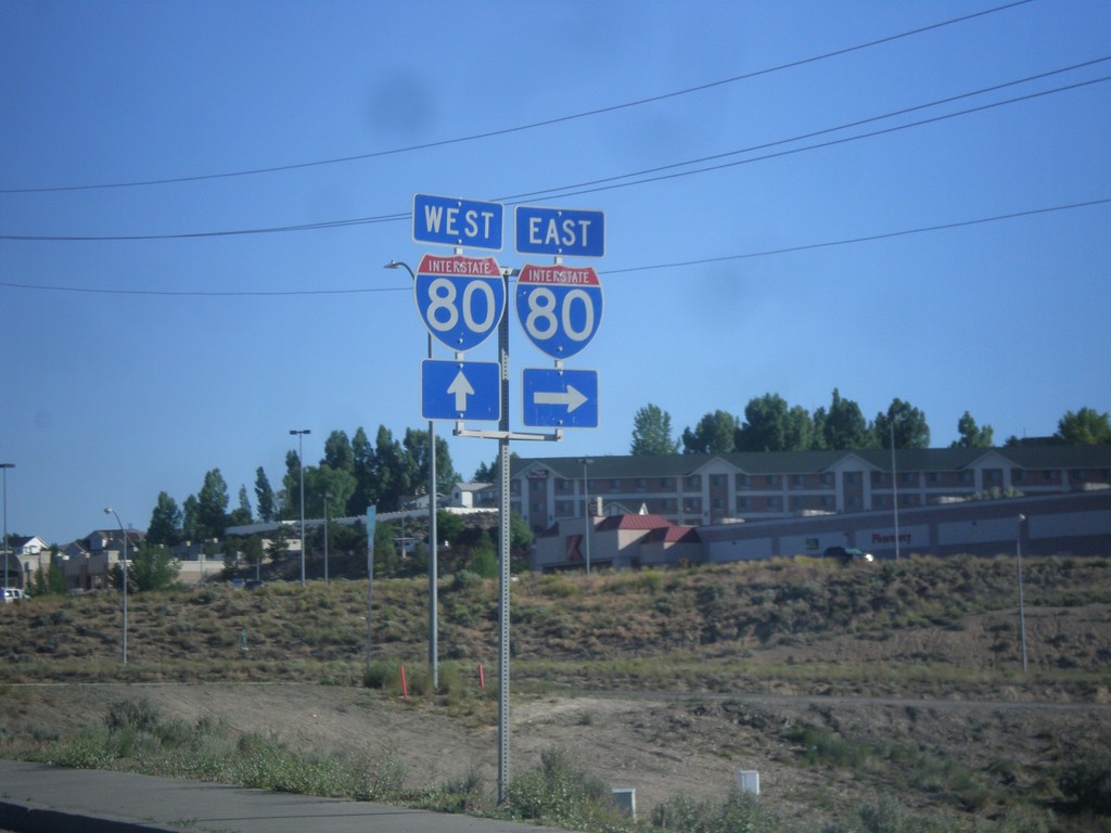
NV-225 North at I-80
NV-225 north at I-80. Turn right for I-80 east; continue over freeway for I-80 west.
Taken 06-21-2014
Elko
Elko County
Nevada
United States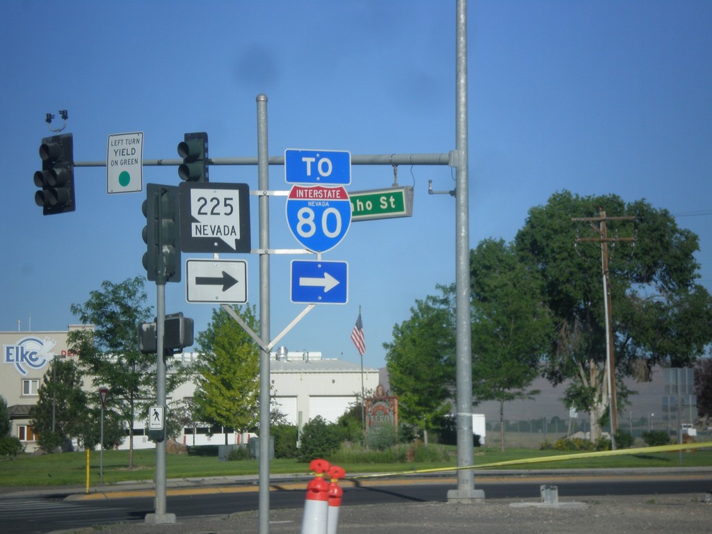
BL-80 West at NV-225 (To I-80)
BL-80 West at NV-225 North. Continue west on BL-80 (Idaho St.) for I-80.
Taken 06-21-2014
 Elko
Elko County
Nevada
United States
Elko
Elko County
Nevada
United States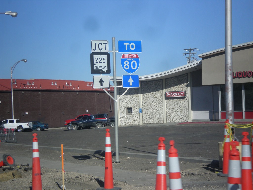
BL-80 West To NV-225/I-80
BL-80 West (Idaho St.), to NV-225 and I-80.
Taken 06-21-2014
Elko
Elko County
Nevada
United States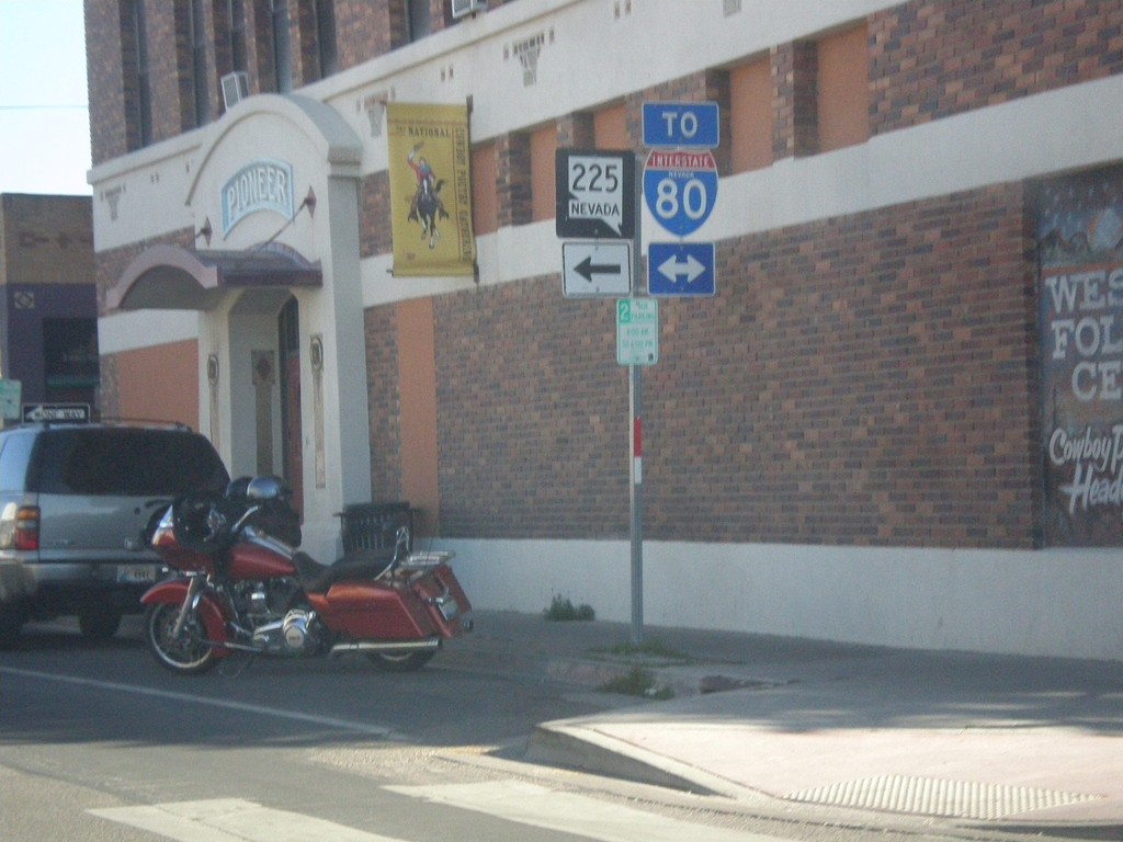
End NV-227 at BL-80 (Idaho St.)
End NV-227 west at BL-80 (Idaho St.) in downtown Elko. Use Idaho St. for access to I-80. Use Idaho St. west for access to NV-225.
Taken 06-21-2014
 Elko
Elko County
Nevada
United States
Elko
Elko County
Nevada
United States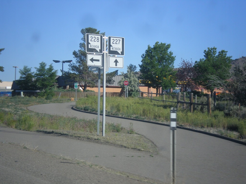
NV-227 West at NV-228 South
NV-227 West at NV-228 South in Spring Creek.
Taken 06-21-2014
 Spring Creek
Elko County
Nevada
United States
Spring Creek
Elko County
Nevada
United States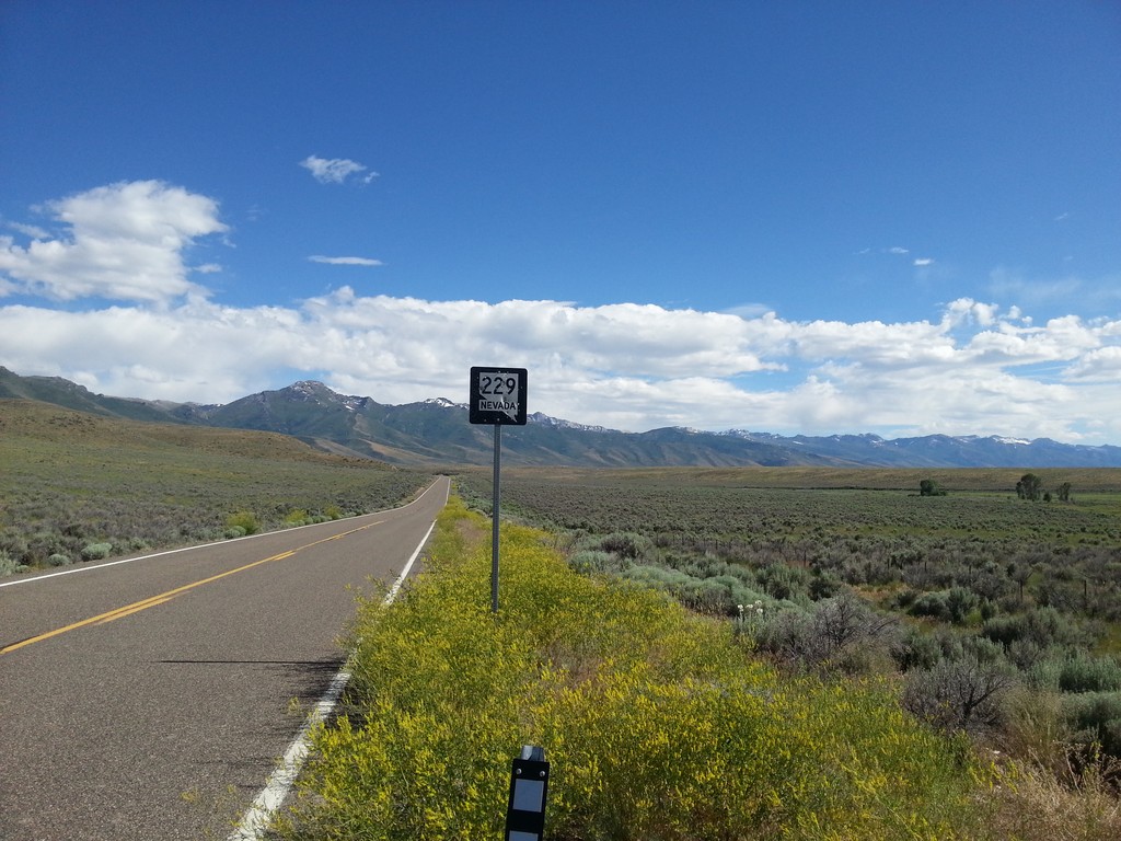
NV-229 - Elko County
NV-229 shield in Elko County, beginning climb towards Secret Pass.
Taken 06-21-2014
 Lamoille
Elko County
Nevada
United States
Lamoille
Elko County
Nevada
United States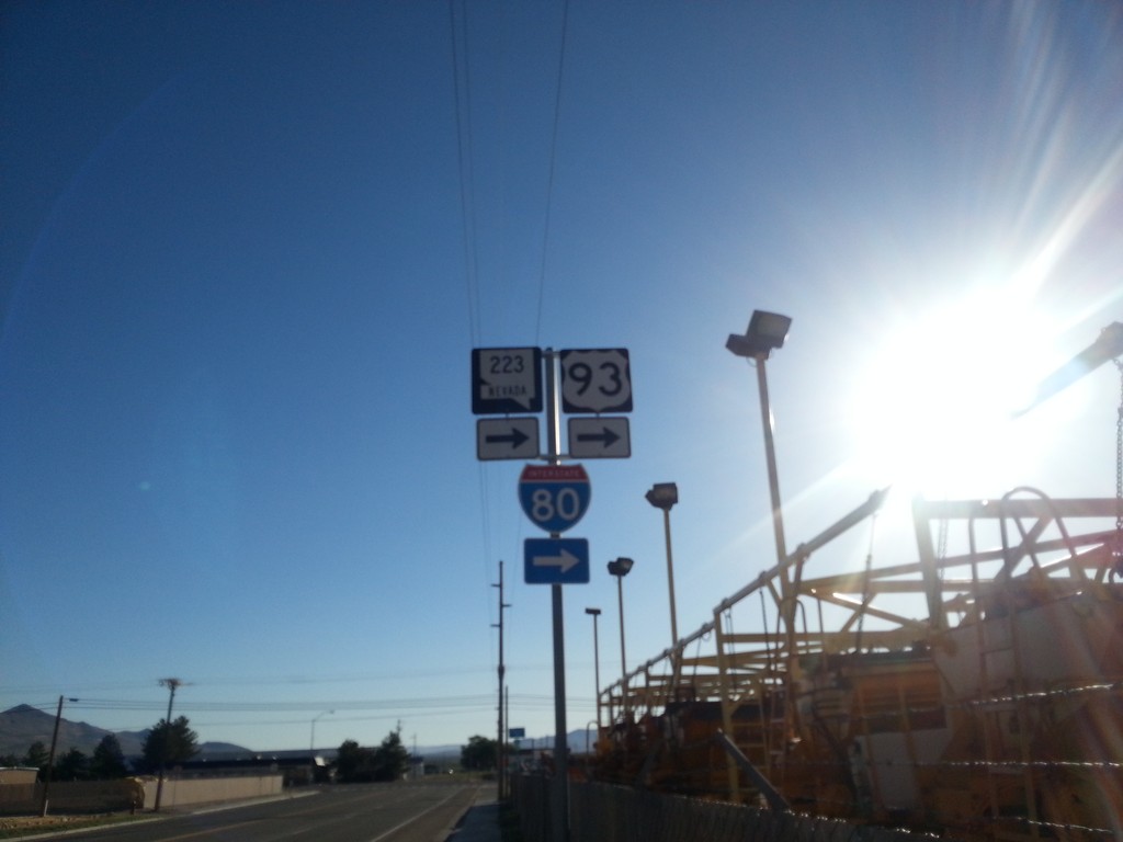
BL-80/NV-223 East At 6th St.
BL-80/NV-223 east (Humboldt Ave.) at 6th St in Wells. Turn right to continue east on BL-80/NV-223 and for I-80.
Taken 06-21-2014
 Wells
Elko County
Nevada
United States
Wells
Elko County
Nevada
United States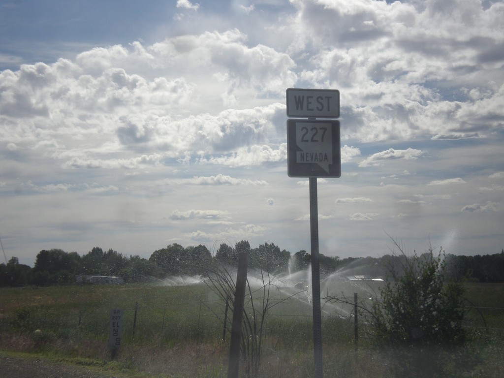
Begin NV-227 West
Begin NV-227 west in Lamoille.
Taken 06-21-2014
Lamoille
Elko County
Nevada
United States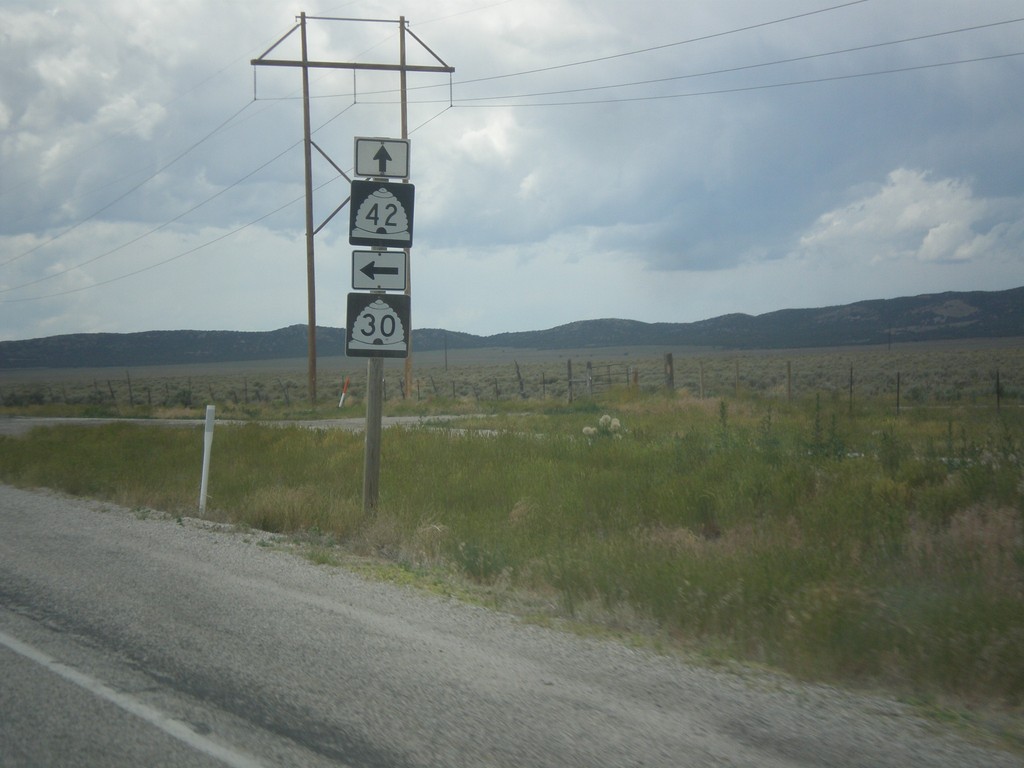
UT-30 West at UT-42
UT-30 West at UT-42 in rural Box Elder County.
Taken 06-21-2014

 Snowville
Box Elder County
Utah
United States
Snowville
Box Elder County
Utah
United States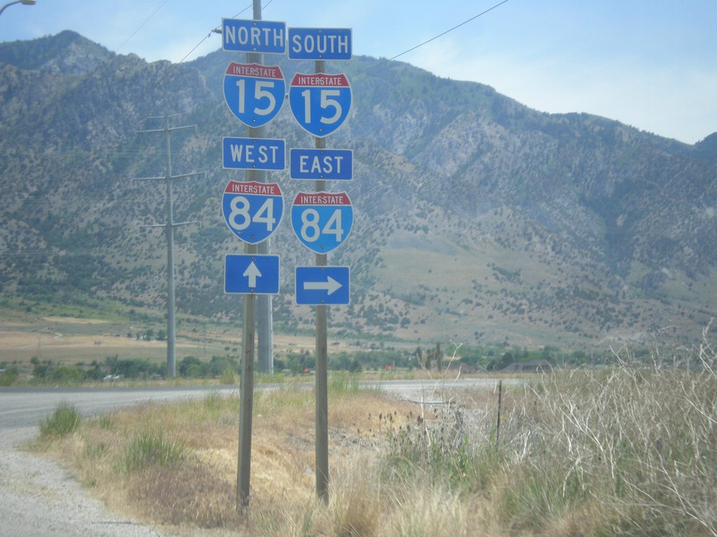
W 6900 North at I-15/I-84
W 6900 North at I-15/I-84 in Honeyville.
Taken 06-21-2014


 Brigham City
Box Elder County
Utah
United States
Brigham City
Box Elder County
Utah
United States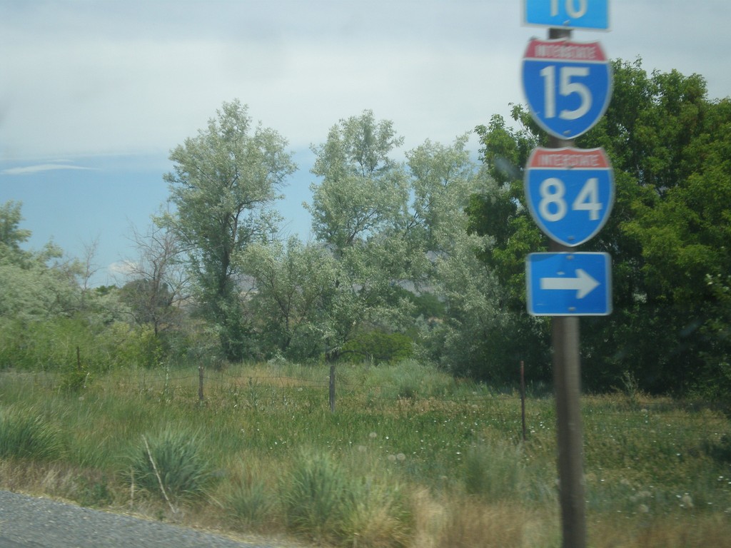
UT-13 North at 4600 West
UT-13 north at 4600 West. Turn right on 4600 West to I-15 and I-84.
Taken 06-21-2014
 Honeyville
Box Elder County
Utah
United States
Honeyville
Box Elder County
Utah
United States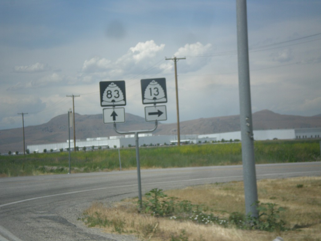
UT-13 North at UT-83
UT-13 north at UT-83 in Corrine. Continue straight for UT-83; turn right for UT-13 north.
Taken 06-21-2014
 Corinne
Box Elder County
Utah
United States
Corinne
Box Elder County
Utah
United States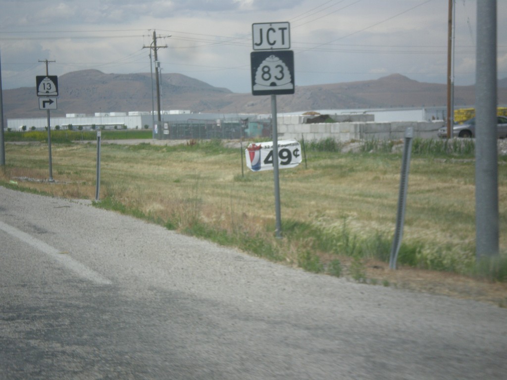
UT-13 North Approaching UT-83
UT-13 North approaching UT-83 in Corrine.
Taken 06-21-2014
Corinne
Box Elder County
Utah
United States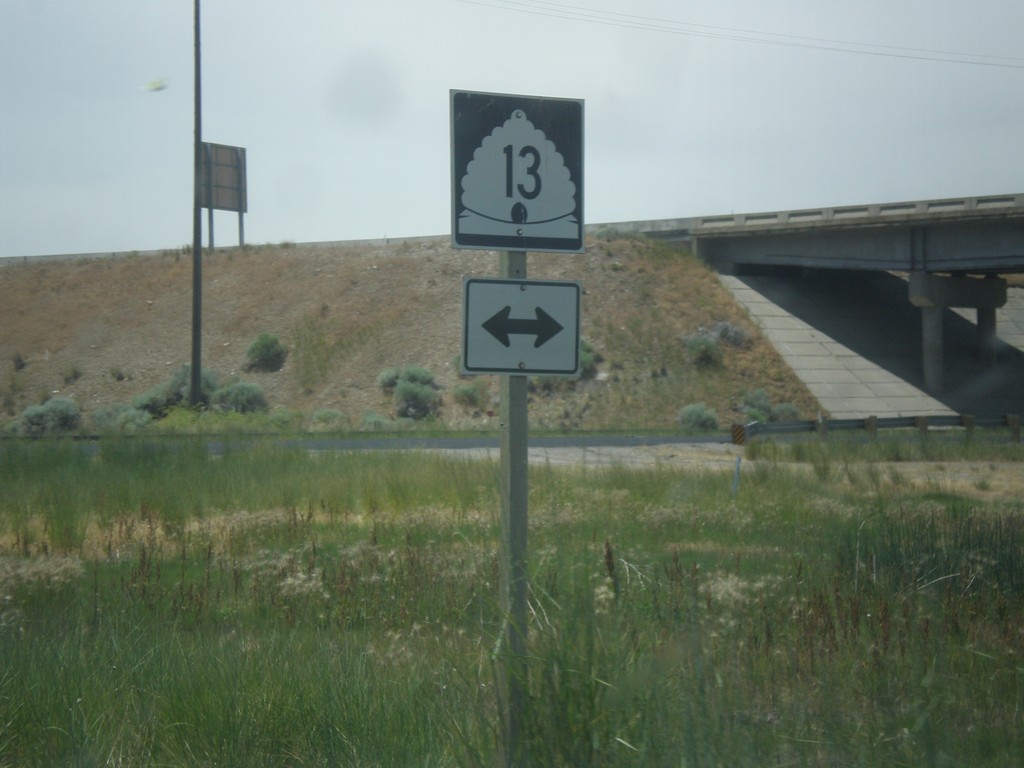
I-15 North at UT-13 - Exit 368 Offramp
I-15 North at UT-13 (Exit 368 offramp) in Brigham City.
Taken 06-21-2014
Brigham City
Box Elder County
Utah
United States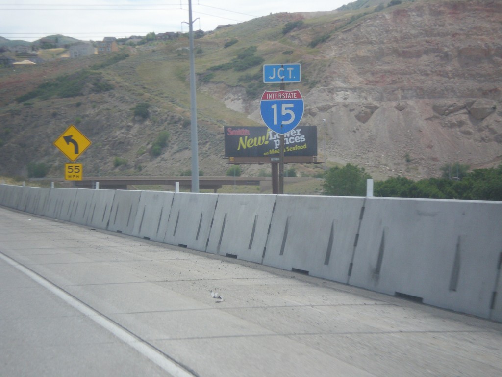
End I-215 North at I-15
End I-215 north at I-15 in North Salt Lake. There is no end sign on I-215, just a junction I-15 sign.
Taken 06-20-2014
 North Salt Lake
Davis County
Utah
United States
North Salt Lake
Davis County
Utah
United States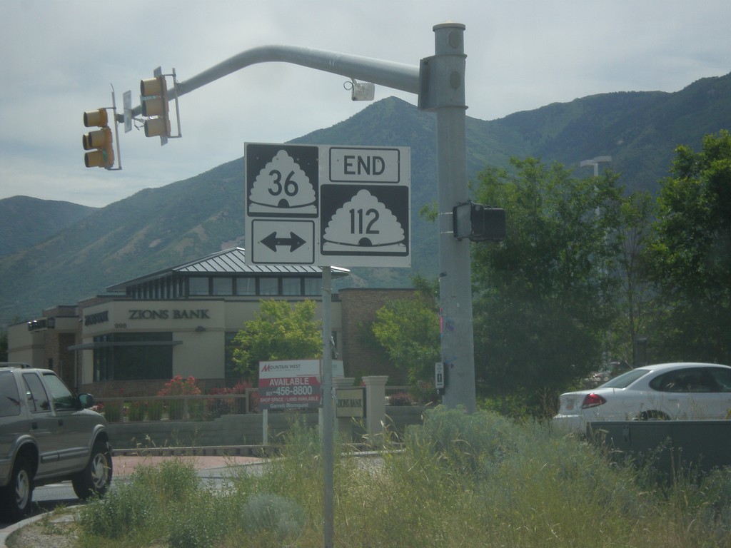
End UT-112 East at UT-36
End UT-112 east at UT-36 in Tooele.
Taken 06-20-2014

 Tooele
 County
Utah
United States
Tooele
Tooele County
Utah
United States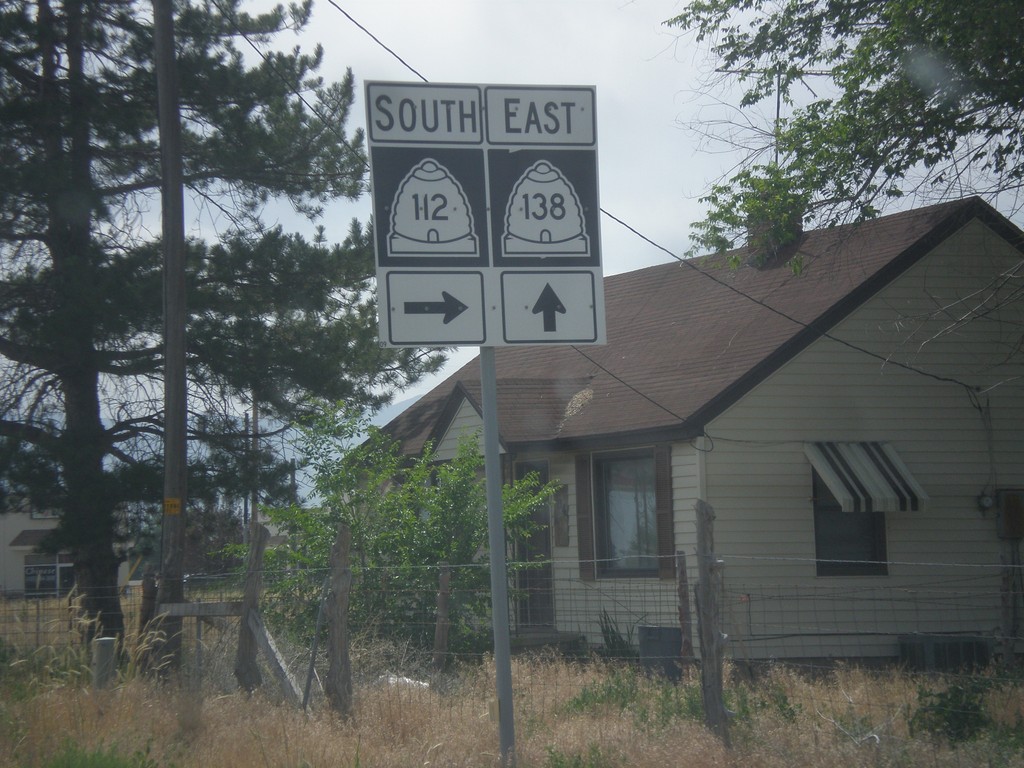
UT-138 East at UT-112
UT-138 east at UT-112 in Grantsville.
Taken 06-20-2014
 Grantsville
Tooele County
Utah
United States
Grantsville
Tooele County
Utah
United States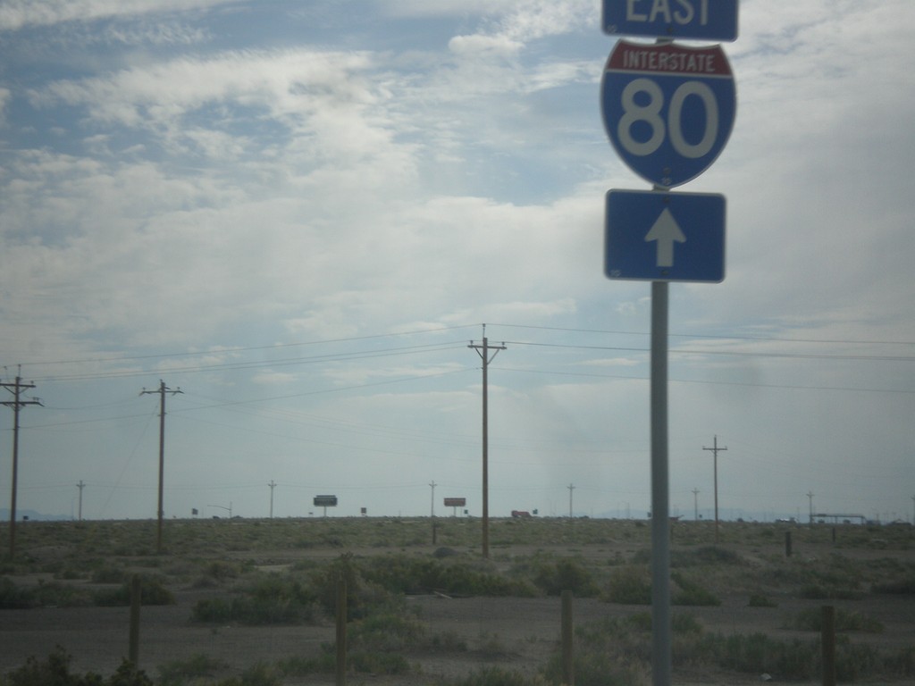
BL-80/UT-58 East at I-80
BL-80/UT-58 East at I-80 east onramp. This is the eastern end of the Wendover business loop.
Taken 06-20-2014
 Wendover
Tooele County
Utah
United States
Wendover
Tooele County
Utah
United States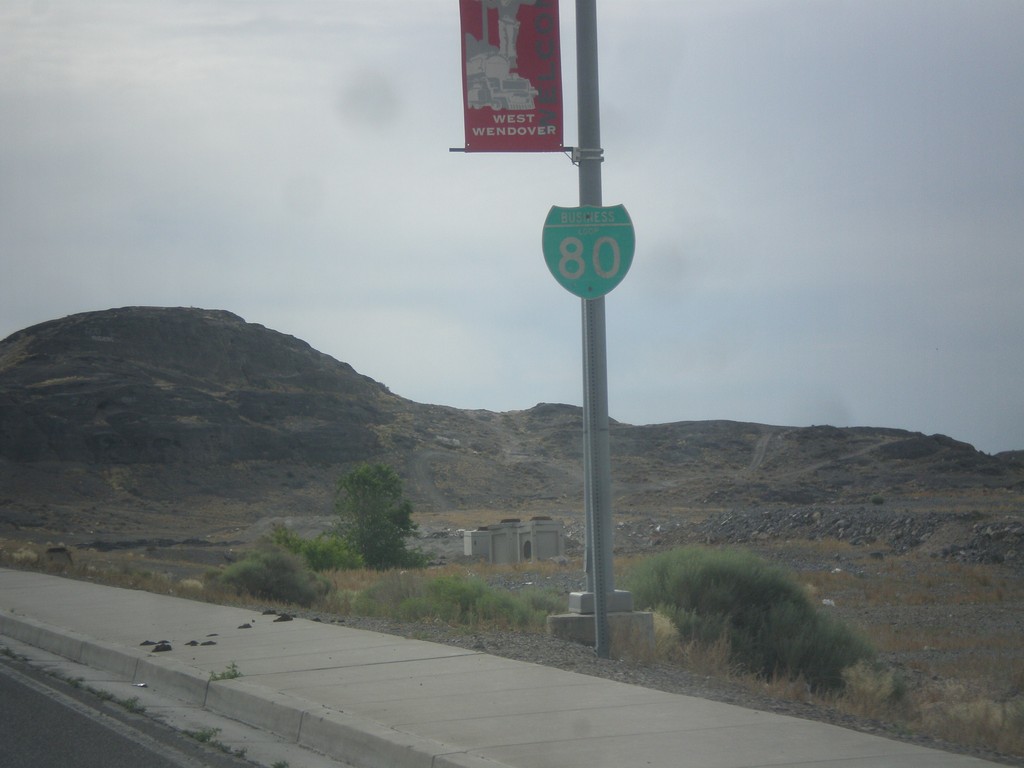
BL-80 East - West Wendover
BL-80 east shield along Wendover Blvd. in West Wendover.
Taken 06-20-2014
West Wendover
Elko County
Nevada
United States