Signs Tagged With Shield
BL-25 North (Grand Ave.) Approaching NM-104
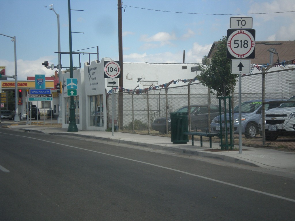
BL-25 North (Grand Ave.) approaching NM-104 in Las Vegas. Continue north on Grand Ave. for NM-518.
Taken 10-10-2013


 Las Vegas
San Miguel County
New Mexico
United States
Las Vegas
San Miguel County
New Mexico
United States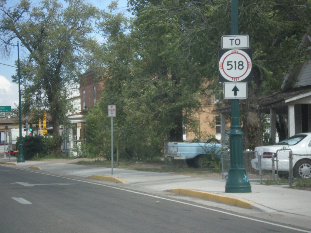
BL-25 North (Grand Ave.) at 7th St.
BL-25 North (Grand Ave.) at 7th Ave. NM-518 used to run down 7th St. in Las Vegas. Now NM-518 ends at Mills Ave., north of here, and the preferred route through Las Vegas is to take Grand Ave. north to Mills Ave.
Taken 10-10-2013
Las Vegas
San Miguel County
New Mexico
United States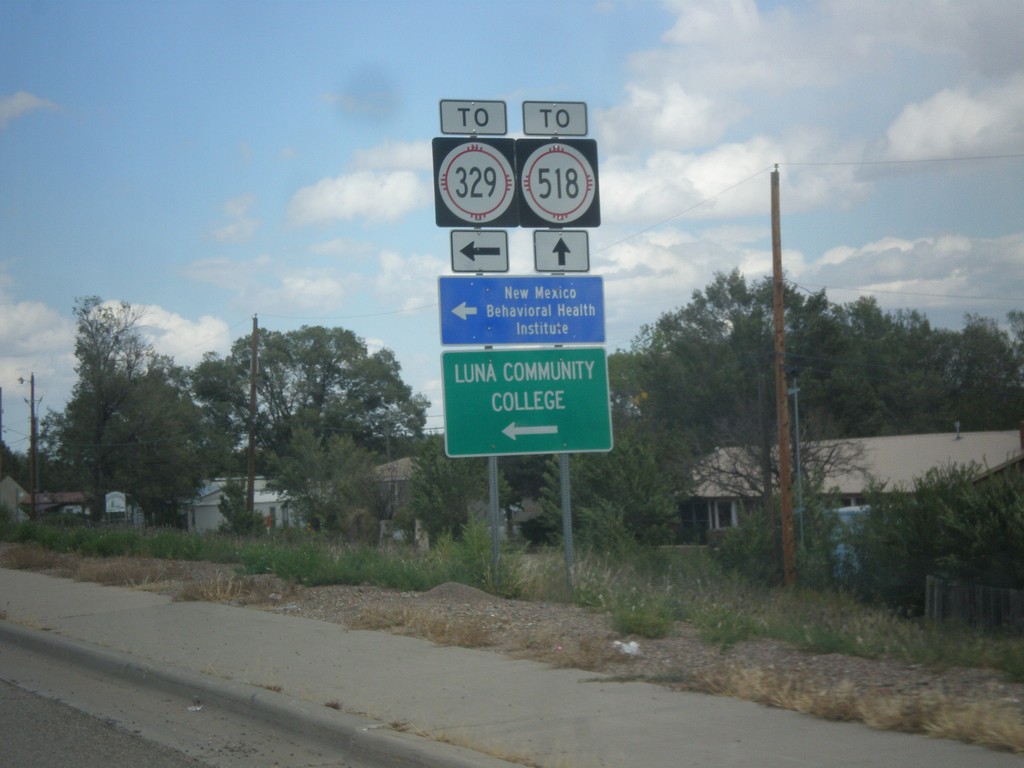
BL-25 North (Grand Ave.) at NM-329 (New Mexico Ave.)
BL-25 North (Grand Ave.) at NM-329 (New Mexico Ave.). This sign assembly says that New Mexico Ave. leads to NM-329. It appears that NM-329 runs down New Mexico Ave. and intersects Grand Ave. here, and the TO text is erroneous. Turn left on NM-329 for New Mexico Behavioral Health Institute and Luna Community College.
Taken 10-10-2013
 Las Vegas
San Miguel County
New Mexico
United States
Las Vegas
San Miguel County
New Mexico
United States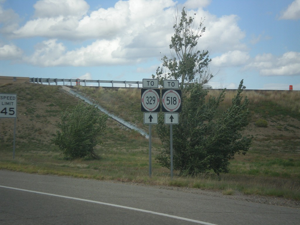
BL-25 North (Grand Ave.) - To NM-329/To NM-518
BL-25 North (Grand Ave.) - To NM-329/To NM-518.
Taken 10-10-2013
Las Vegas
San Miguel County
New Mexico
United States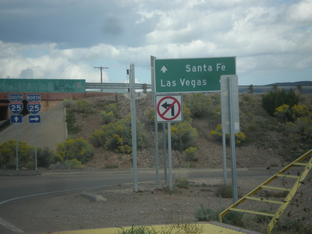
End NM-3 North at I-25
End NM-3 north at I-25. Use I-25 north for Las Vegas; I-25 south for Santa Fe.
Taken 10-10-2013


 Ribera
San Miguel County
New Mexico
United States
Ribera
San Miguel County
New Mexico
United States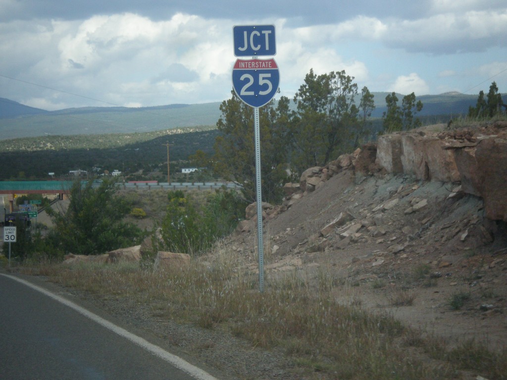
NM-3 North Approaching I-25
NM-3 north approaching I-25 junction in San Miguel County.
Taken 10-10-2013
Ribera
San Miguel County
New Mexico
United States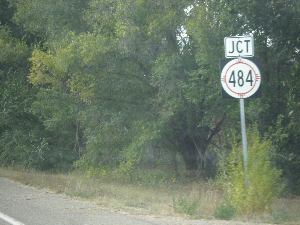
NM-3 North Approaching NM-484
NM-3 north approaching NM-484 in San Miguel County.
Taken 10-10-2013
 Ribera
San Miguel County
New Mexico
United States
Ribera
San Miguel County
New Mexico
United States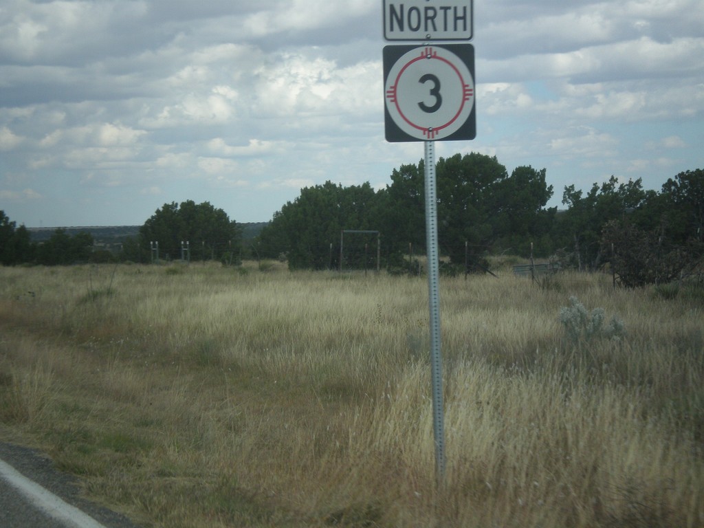
NM-3 North - Torrance County
NM-3 north shield in Torrance County.
Taken 10-10-2013
Encino
Torrance County
New Mexico
United States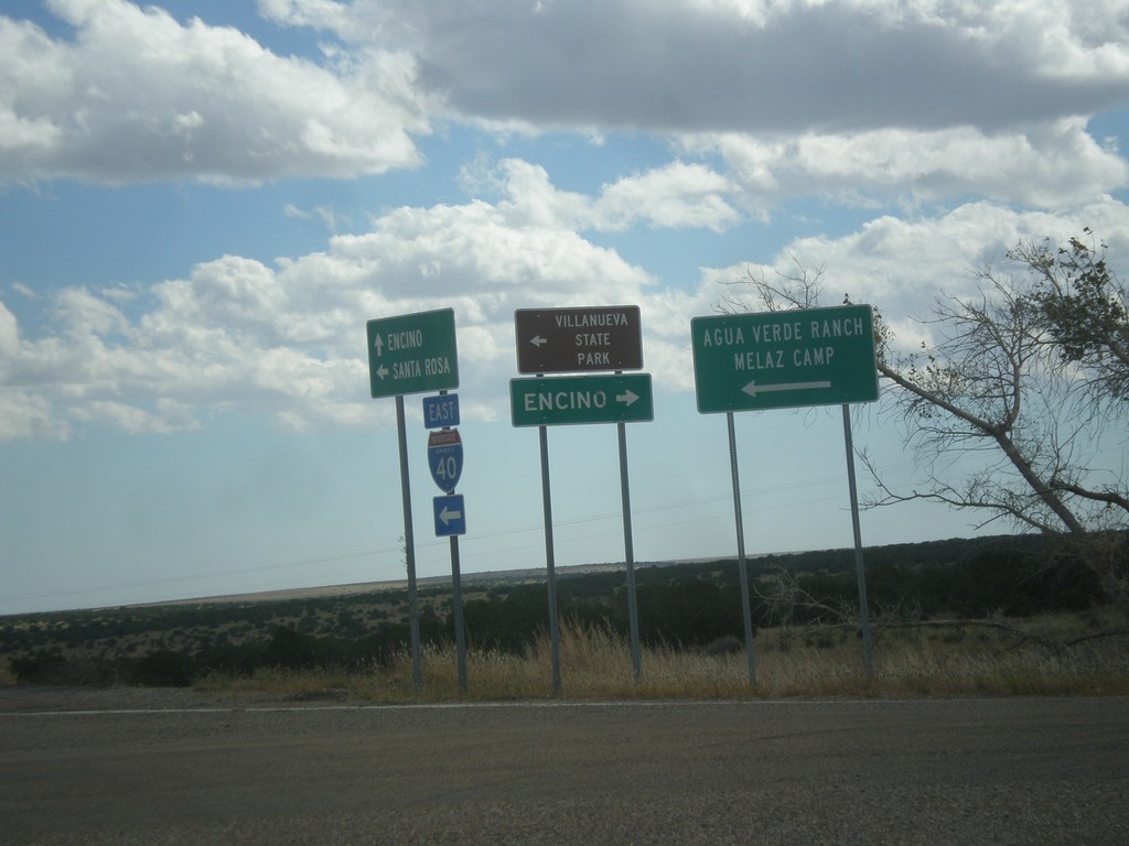
I-40 East at NM-3
I-40 east Exit 230 at NM-3. Turn right on NM-3 for Encino; turn left for Villanueva State Park, Agua Verde Ranch, and Melaz Camp.
Taken 10-10-2013
 Encino
Torrance County
New Mexico
United States
Encino
Torrance County
New Mexico
United States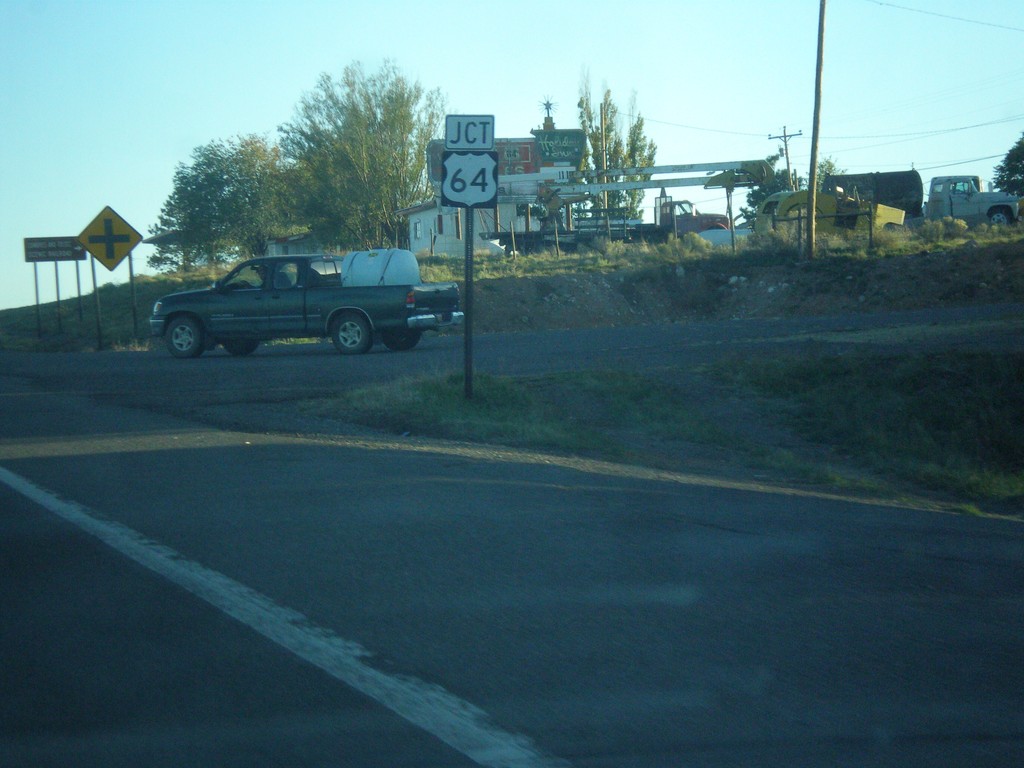
US-285 South Approaching US-64
US-285 south approaching US-64 in Tres Piedras.
Taken 10-08-2013

 Tres Piedras
Taos County
New Mexico
United States
Tres Piedras
Taos County
New Mexico
United States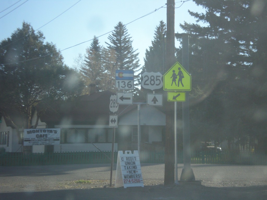
US-285 South at CO-136
US-285 south at CO-136 in La Jara.
Taken 10-08-2013
 La Jara
Conejos County
Colorado
United States
La Jara
Conejos County
Colorado
United States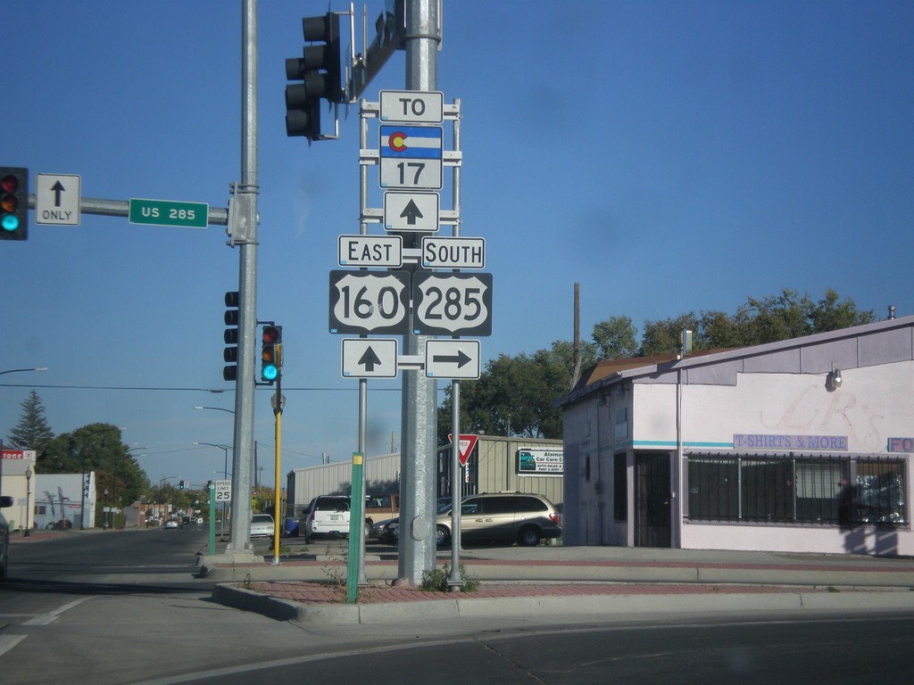
US-285 South/US-160 East at US-285
US-285 South/US-160 east at US-285 south. Turn right to continue south on US-285. Continue straight for US-160 east and CO-17.
Taken 10-08-2013

 Alamosa
 County
Colorado
United States
Alamosa
Alamosa County
Colorado
United States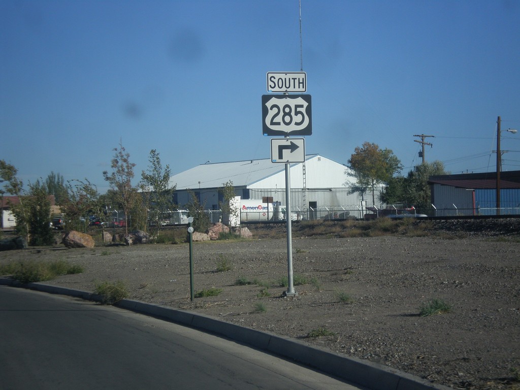
US-160 West/US-285 South Approaching US-285 South
US-160 West/US-285 South approaching US-285 South in Alamosa.
Taken 10-08-2013
Alamosa
Alamosa County
Colorado
United States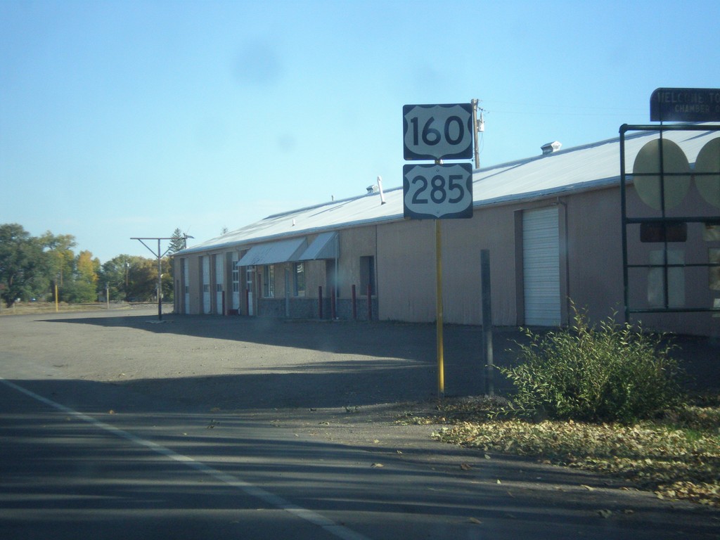
US-160 West/US-285 South - Monte Vista
US-160 West/US-285 South leaving Monte Vista.
Taken 10-08-2013
Monte Vista
Rio Grande County
Colorado
United States
US-285 South at US-160/CO-15
US-285 south at US-160/CO-15 in Monte Vista. US-285 south joins US-160 east to Alamosa.
Taken 10-08-2013
 Monte Vista
Rio Grande County
Colorado
United States
Monte Vista
Rio Grande County
Colorado
United States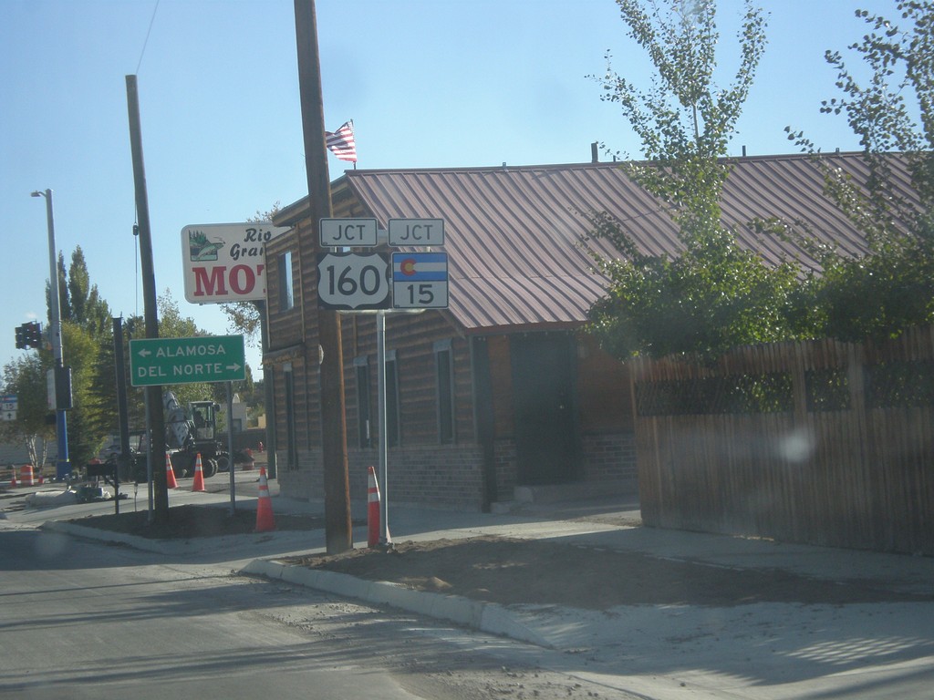
US-285 South Approaching US-160/CO-15
US-285 South approaching US-160/CO-15 in Monte Vista.
Taken 10-08-2013
Monte Vista
Rio Grande County
Colorado
United States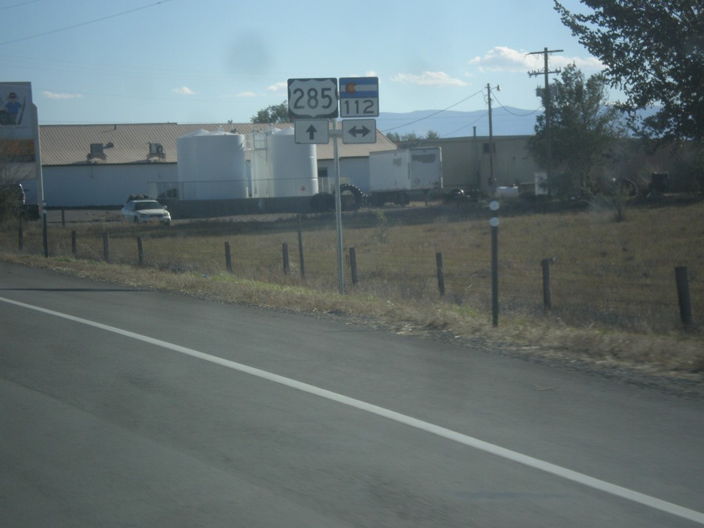
US-285 South Approaching CO-112
US-285 south approaching CO-112 in Saguache County.
Taken 10-08-2013
 Center
Saguache County
Colorado
United States
Center
Saguache County
Colorado
United States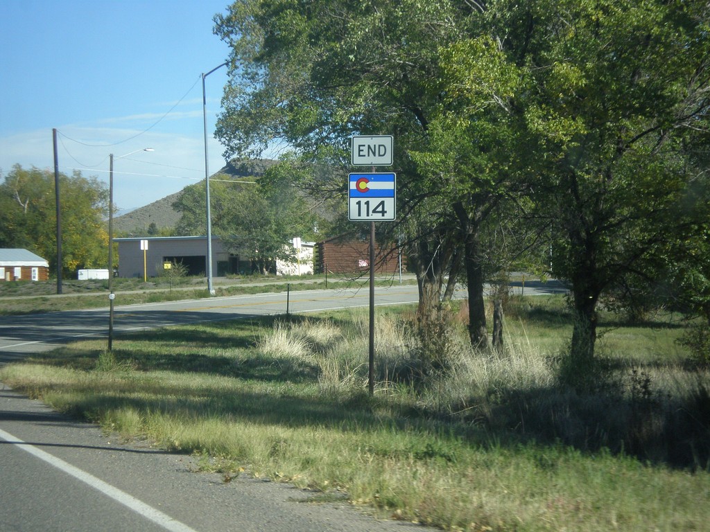
End CO-114 at US-285
End CO-114 at US-285 in Saguache.
Taken 10-08-2013
 Saguache
 County
Colorado
United States
Saguache
Saguache County
Colorado
United States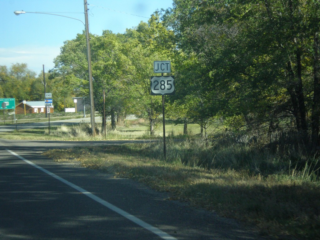
End CO-114 at US-285
End CO-114 at US-285 junction in Saguache.
Taken 10-08-2013
Saguache
Saguache County
Colorado
United States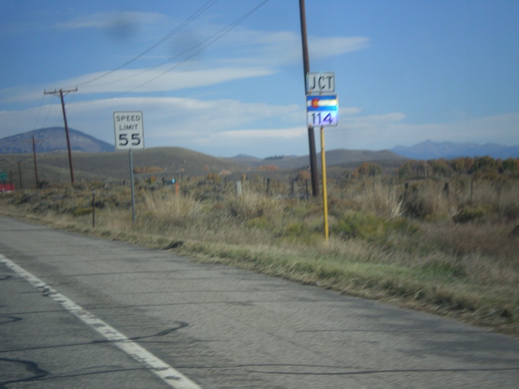
US-50 East Approaching CO-114
US-50 east approaching CO-114 in Gunnison County.
Taken 10-08-2013
 Gunnison
 County
Colorado
United States
Gunnison
Gunnison County
Colorado
United States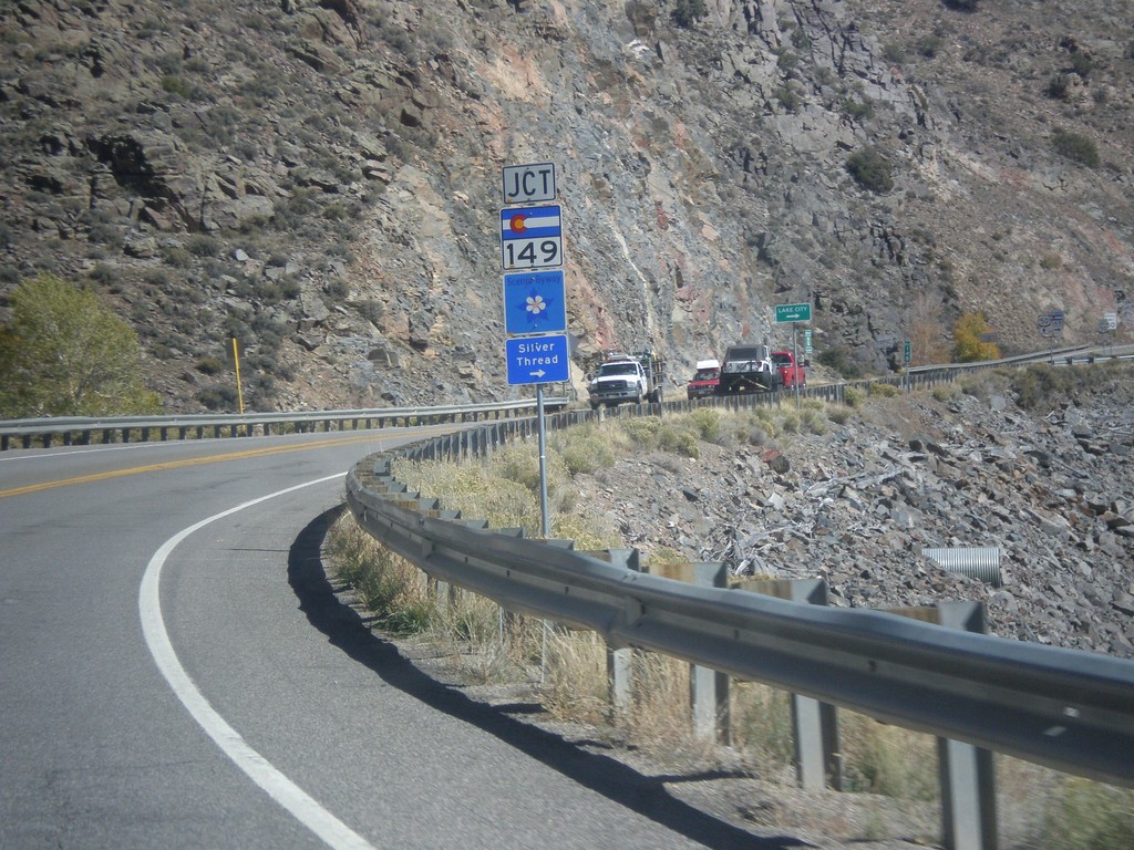
US-50 East Approaching CO-149
US-50 east approaching CO-149 in Gunnison County. CO-149 is part of the Silver Thread Scenic Byway.
Taken 10-08-2013
 Gunnison
 County
Colorado
United States
Gunnison
Gunnison County
Colorado
United States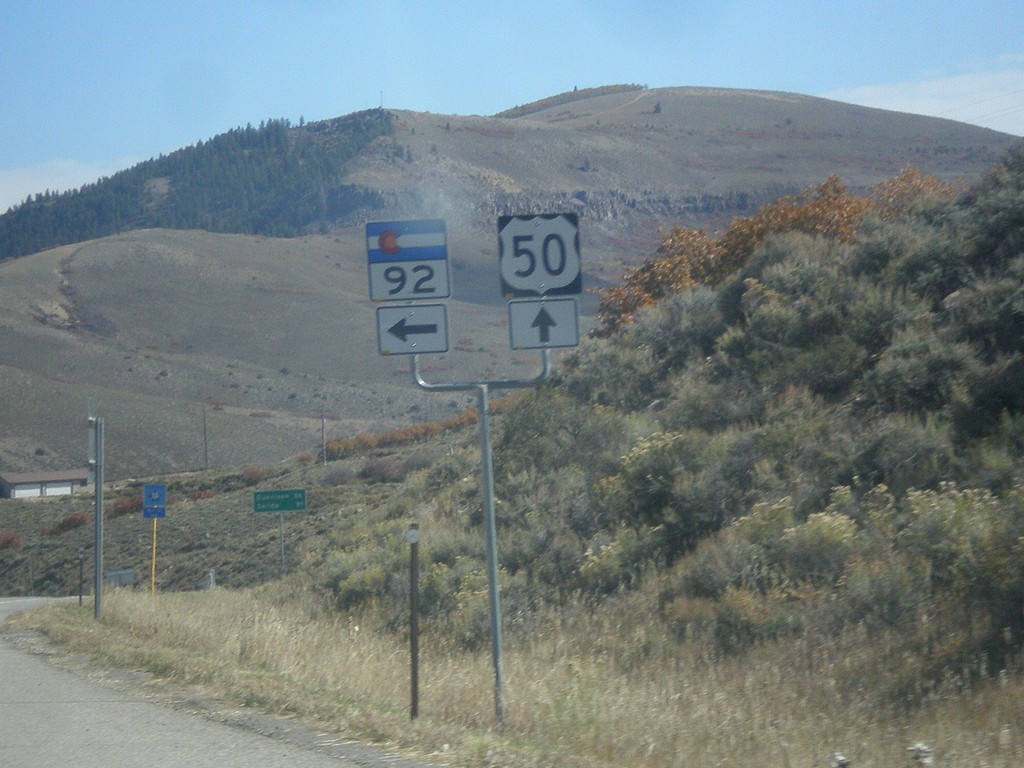
US-50 East at CO-92
US-50 East at CO-92 junction in Gunnison County.
Taken 10-08-2013
 Gunnison
 County
Colorado
United States
Gunnison
Gunnison County
Colorado
United States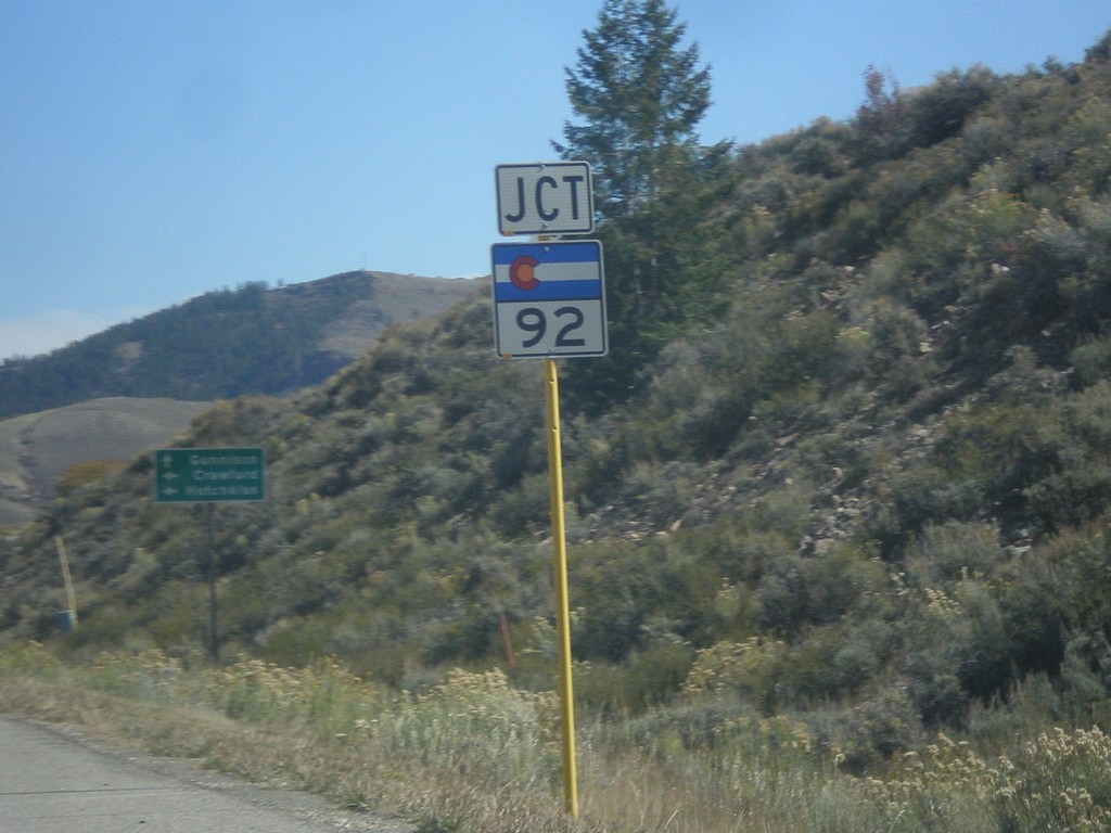
US-50 East Approaching CO-92
US-50 East approaching CO-92 in Gunnison County.
Taken 10-08-2013
Gunnison
Gunnison County
Colorado
United States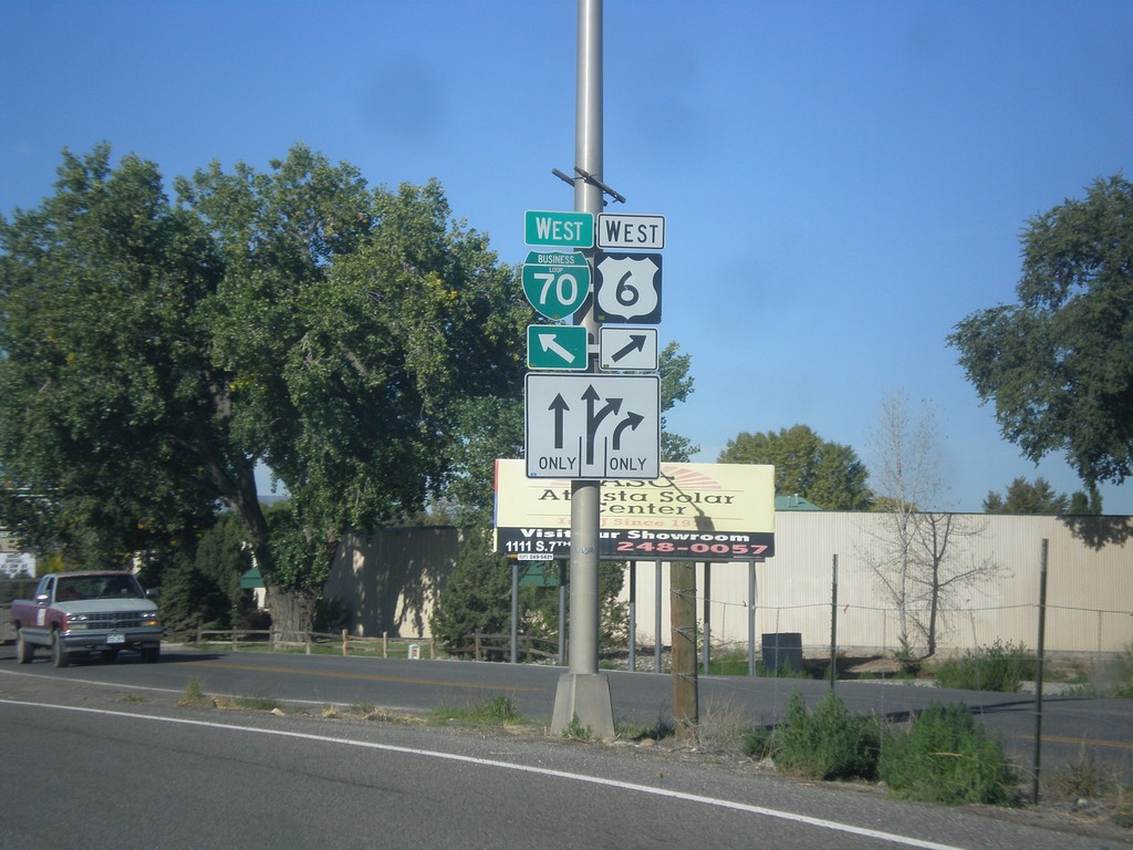
US-6 West/BL-70 West Split
US-6 West/BL-70 West Split in Grand Junction. Merge right for US-6 West (North Ave.); merge left for BL-70 West.
Taken 10-08-2013

 Grand Junction
Mesa County
Colorado
United States
Grand Junction
Mesa County
Colorado
United States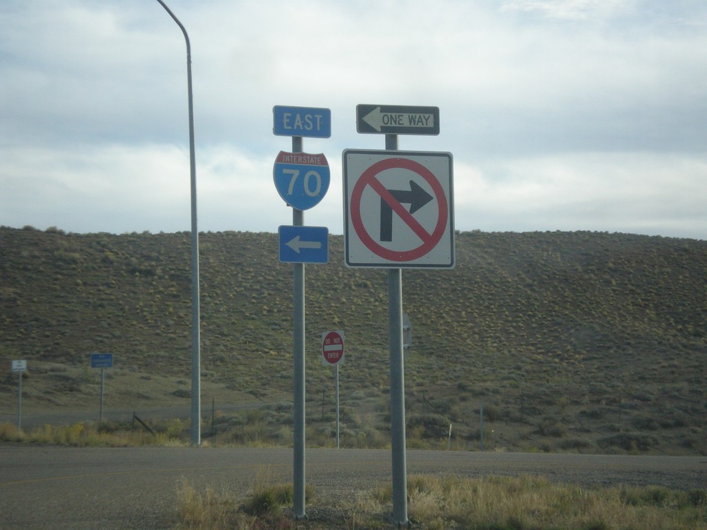
I-70 East Onramp - Exit 187
I-70 east onramp at Exit 187. Turn left for I-70 east.
Taken 10-07-2013
 Thompson Springs
Grand County
Utah
United States
Thompson Springs
Grand County
Utah
United States