Signs Tagged With Shield
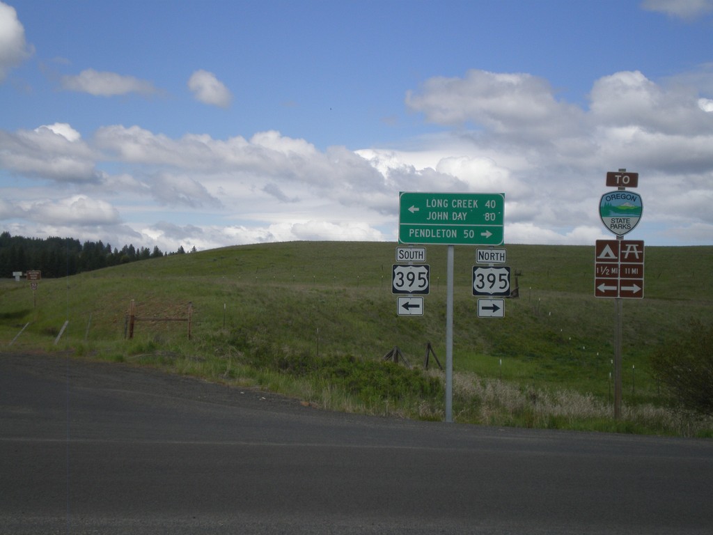
End OR-244 West at US-395
End OR-244 west at US-395. Turn right for US-395 north to Pendleton. Turn left for US-395 south to Long Creek and John Day.
Taken 05-26-2012

 Ukiah
Umatilla County
Oregon
United States
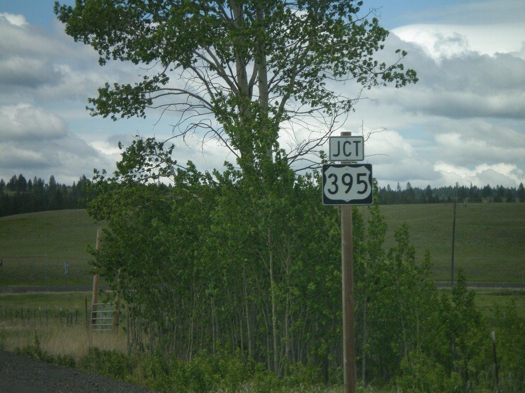
End OR-244 West at US-395
End OR-244 west at US-395 junction.
Taken 05-26-2012

 Ukiah
Umatilla County
Oregon
United States
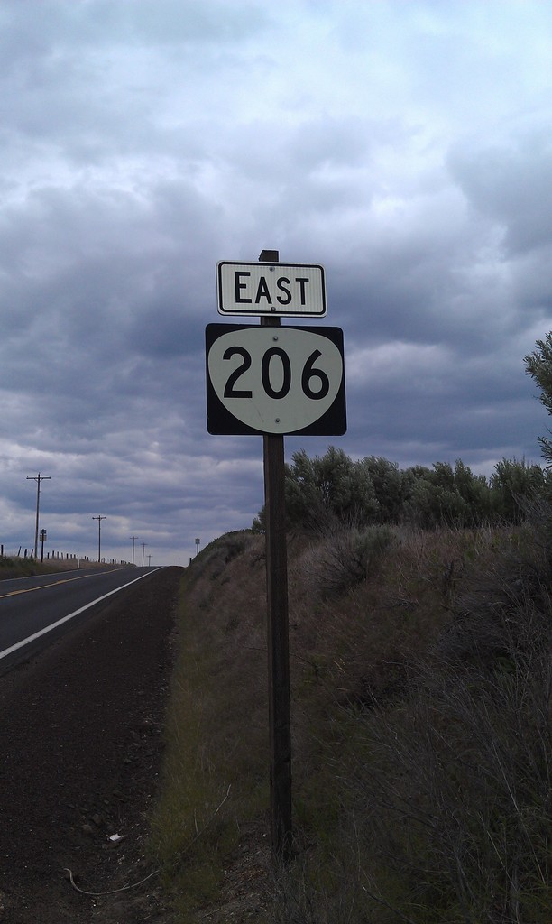
OR-206 East
East OR-206, taken just east of US-97 near Wasco.
Taken 05-26-2012
 Wasco
Sherman County
Oregon
United States
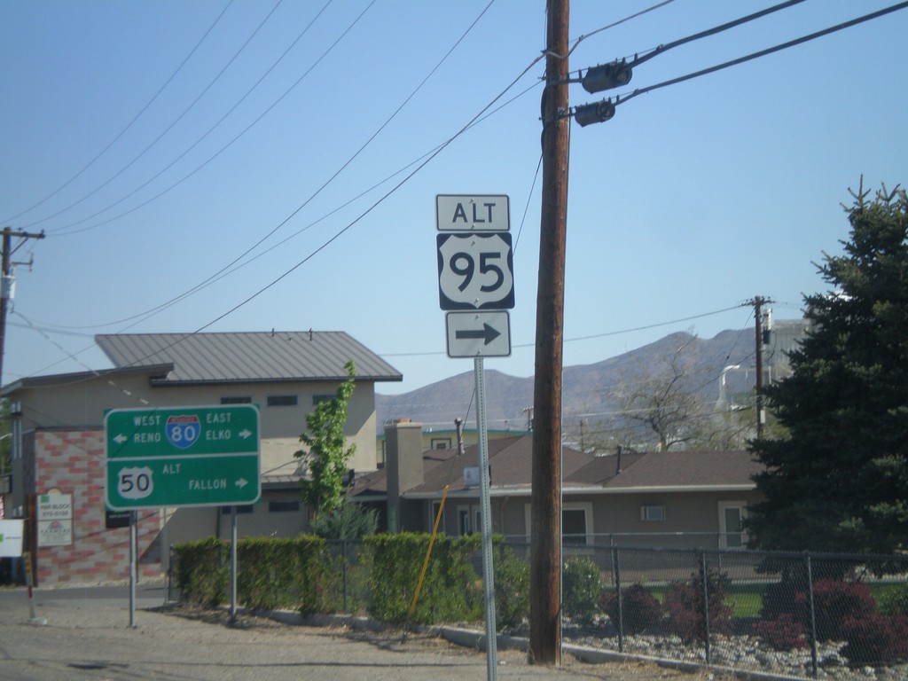
US-95 Alt. North at US-50 Alt./BL-80
US-95 ALT at US-50 ALT to Fallon and BL-80 to Reno and Elko. Turn right to continue on US-95 Alt.
Taken 05-07-2012


 Fernley
Lyon County
Nevada
United States
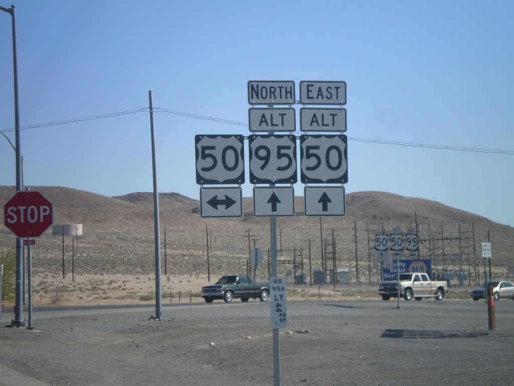
Alt. US-95 North at US-50/Alt. US-50
Alt. US-95 North at US-50/Alt. US-50 in Silver Springs. This is the western end of Alt. US-50. Alt. US-50 follows Alt. US-95 north to Fernley, thence east to outside of Fallon rejoining with US-50.
Taken 05-07-2012


 Silver Springs
Lyon County
Nevada
United States
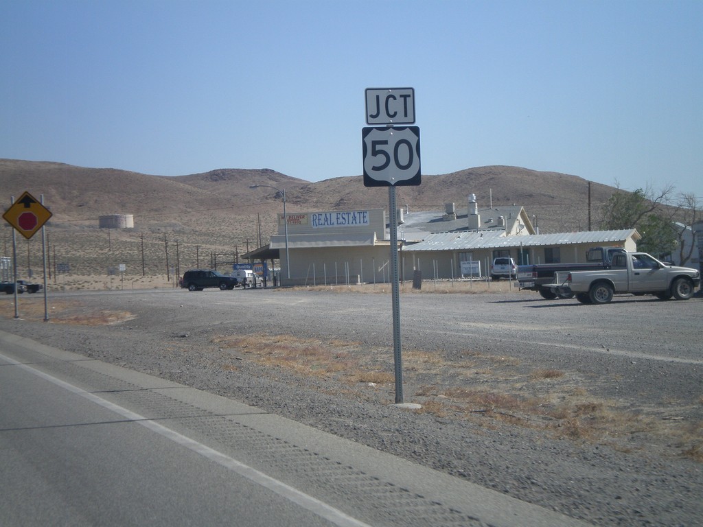
Alt. US-95 North Approaching US-50
Alt. US-95 North approaching US-50 and Alt. US-50 in Silver Springs.
Taken 05-07-2012


 Silver Springs
Lyon County
Nevada
United States
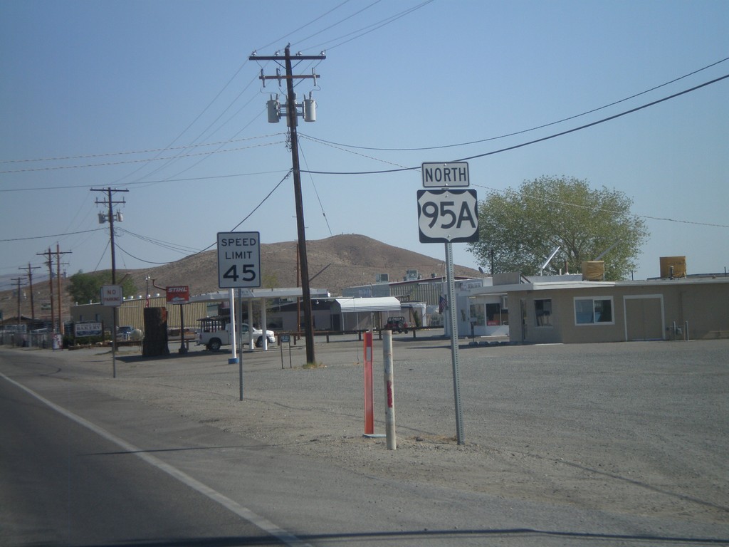
Alt. US-95 North - Yerrington
Alt. US-95 North, leaving Yerrington. This is the only instance that I have seen on any of the Nevada alternate US highways, where an "A" was used as the alternate designation. The normal alternate designation is with a separate sign on top of the shield with the word "ALT".
Taken 05-07-2012
 Yerington
Lyon County
Nevada
United States
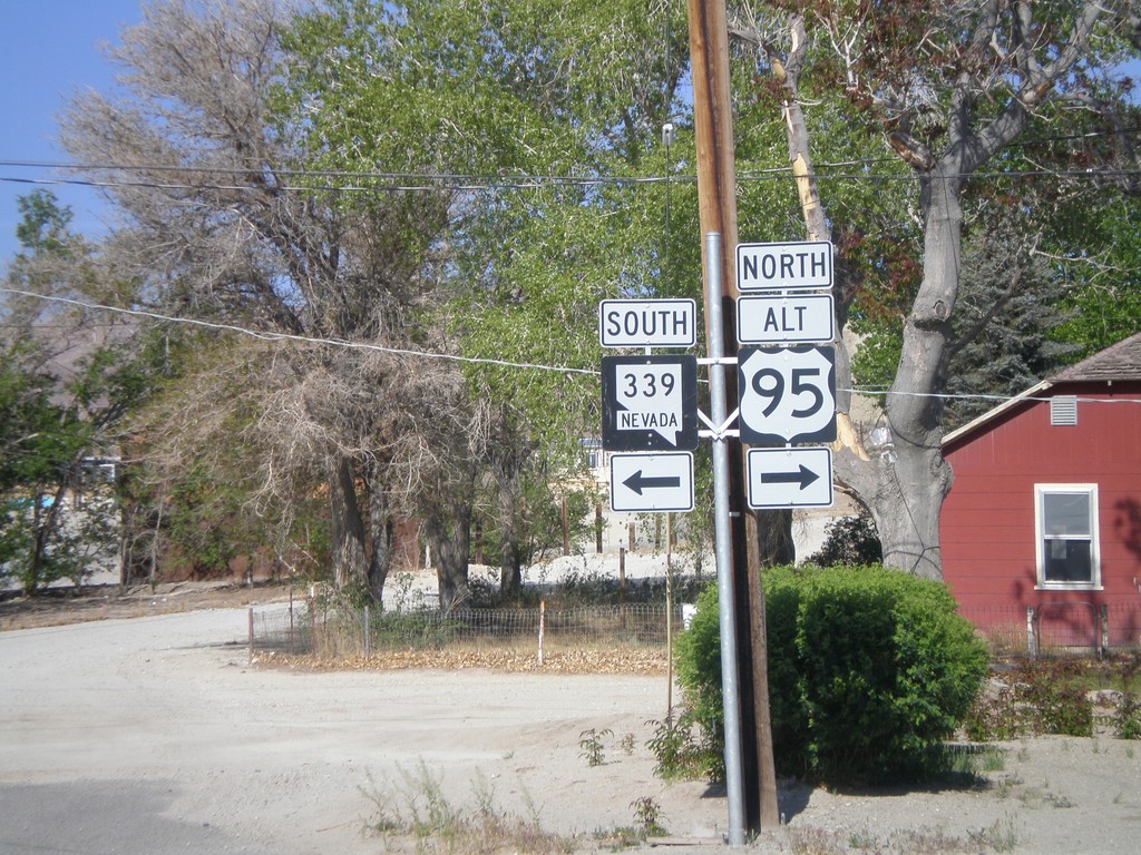
Alt. US-95 North at NV-339
Alt. US-95 North at NV-339 in Yerrington. Turn left for NV-339 south; turn right to continue north on Alt. US-95.
Taken 05-07-2012

 Yerington
Lyon County
Nevada
United States
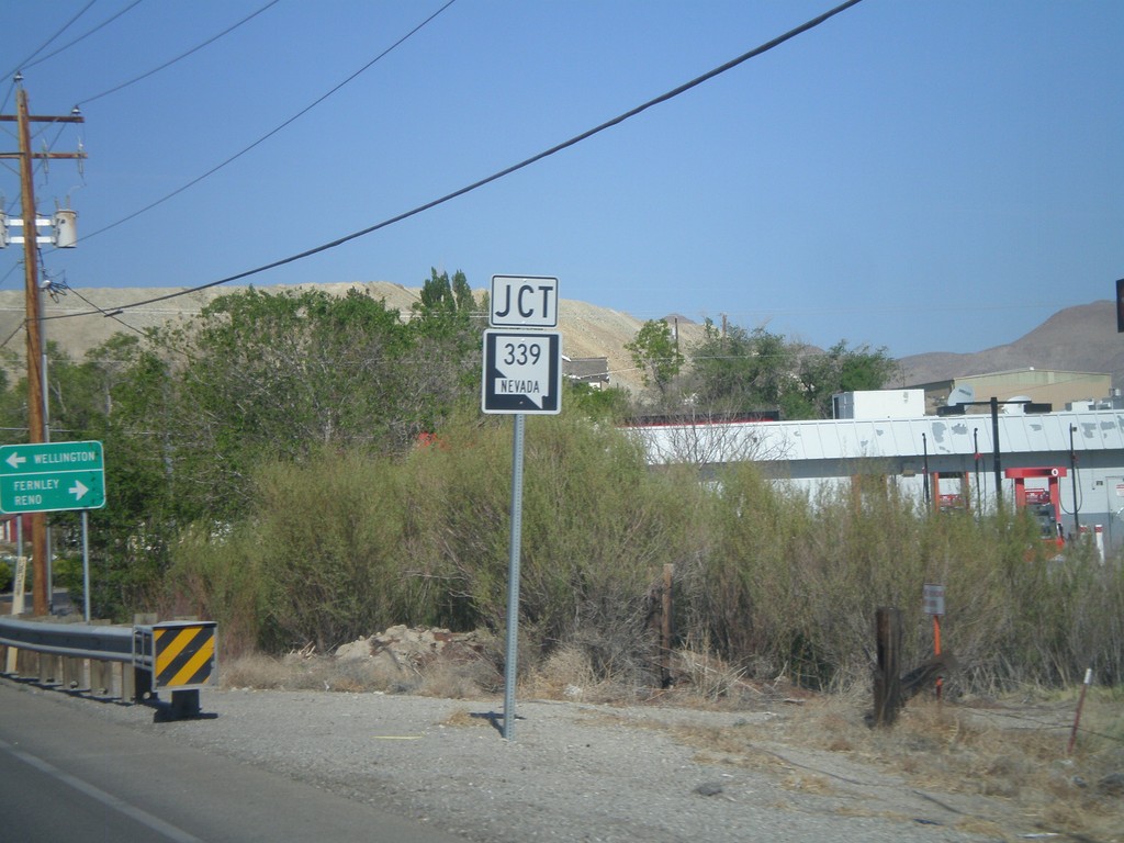
Alt. US-95 North Approaching NV-339
Alt. US-95 North approaching NV-339.
Taken 05-07-2012

 Yerington
Lyon County
Nevada
United States
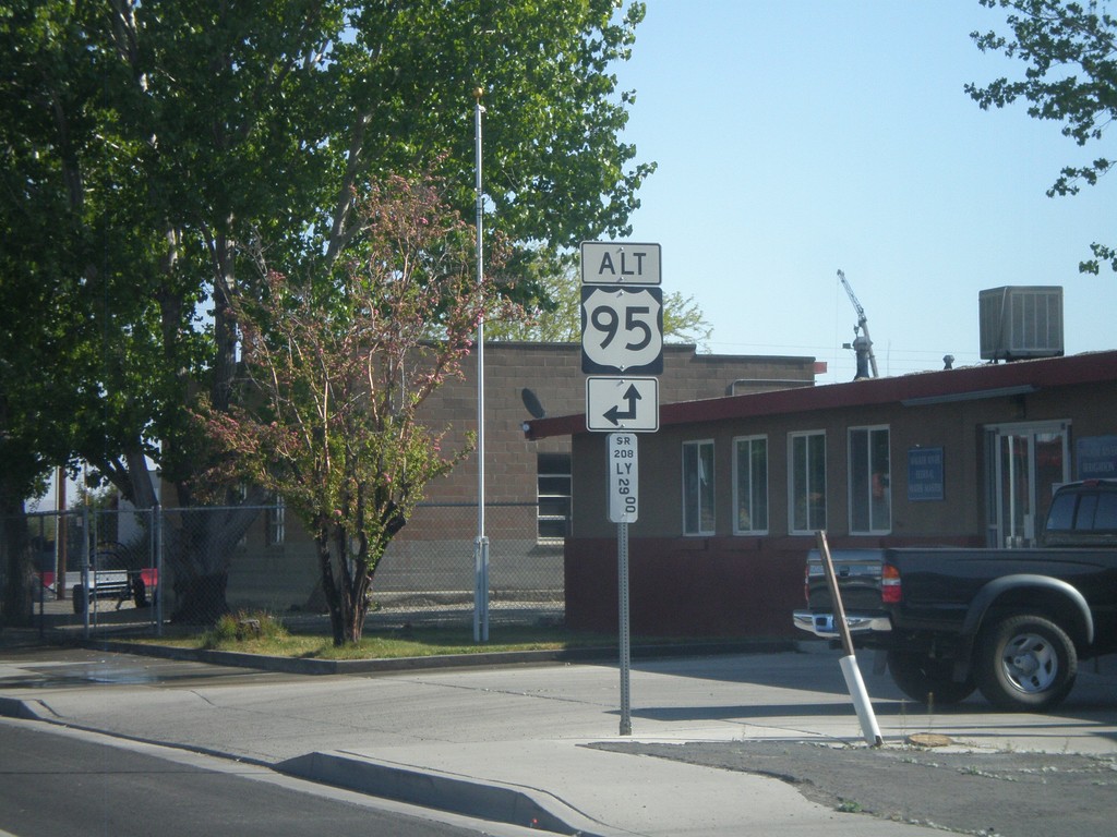
NV-208 North Approaching Alt. US-95
NV-208 north approaching Alt. US-95 north in Yerrington. Below the Alt. US-95 shield is a Nevada post mile marker. Nevada state and US highways do not have traditional mile markers, but instead have these post mile markers. The mileage on these markers reset at each county line. The top line is the route type, in this case SR (State Route). The next line is the two character county abbreviation - LY for Lyon County. The number is the actual mileage, to two decimal places.
Taken 05-07-2012

 Yerington
Lyon County
Nevada
United States
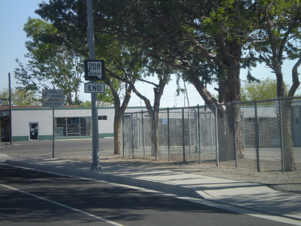
End NV-208 North
End NV-208 north at Alt. US-95 junction in Yerrington.
Taken 05-07-2012

 Yerington
Lyon County
Nevada
United States
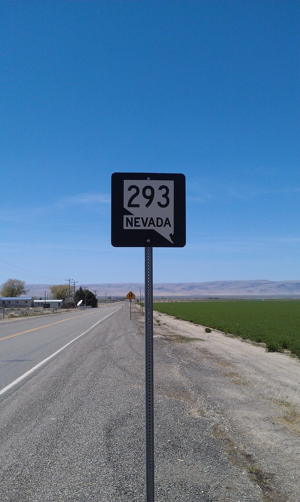
NV-293 West - Orovada
NV-293 west in Orovada.
Taken 05-07-2012
 Winnemucca
Humboldt County
Nevada
United States
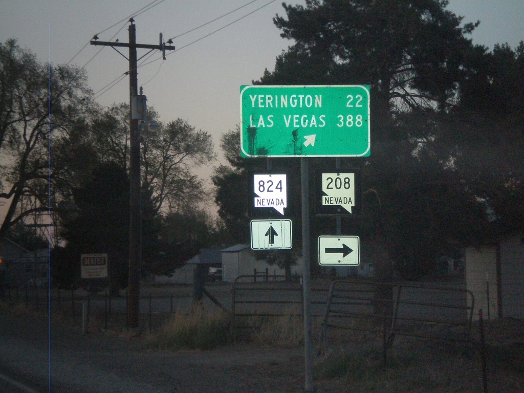
NV-208 North at NV-824
NV-208 north at NV-824 in Smith Valley. Turn right to continue on NV-208 towards Yerrington and Las Vegas.
Taken 05-06-2012

 Smith Valley
Lyon County
Nevada
United States
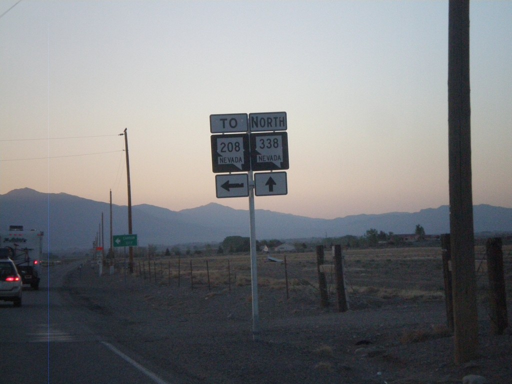
NV-338 North at NV-829 (To NV-208)
NV-338 North at NV-829 (To NV-208). This intersection is not well marked. NV-829 is marked To NV-208, when it should be marked To NV-208 South. Northbound NV-208 traffic should continue north on NV-338.
Taken 05-06-2012

 Smith Valley
Lyon County
Nevada
United States
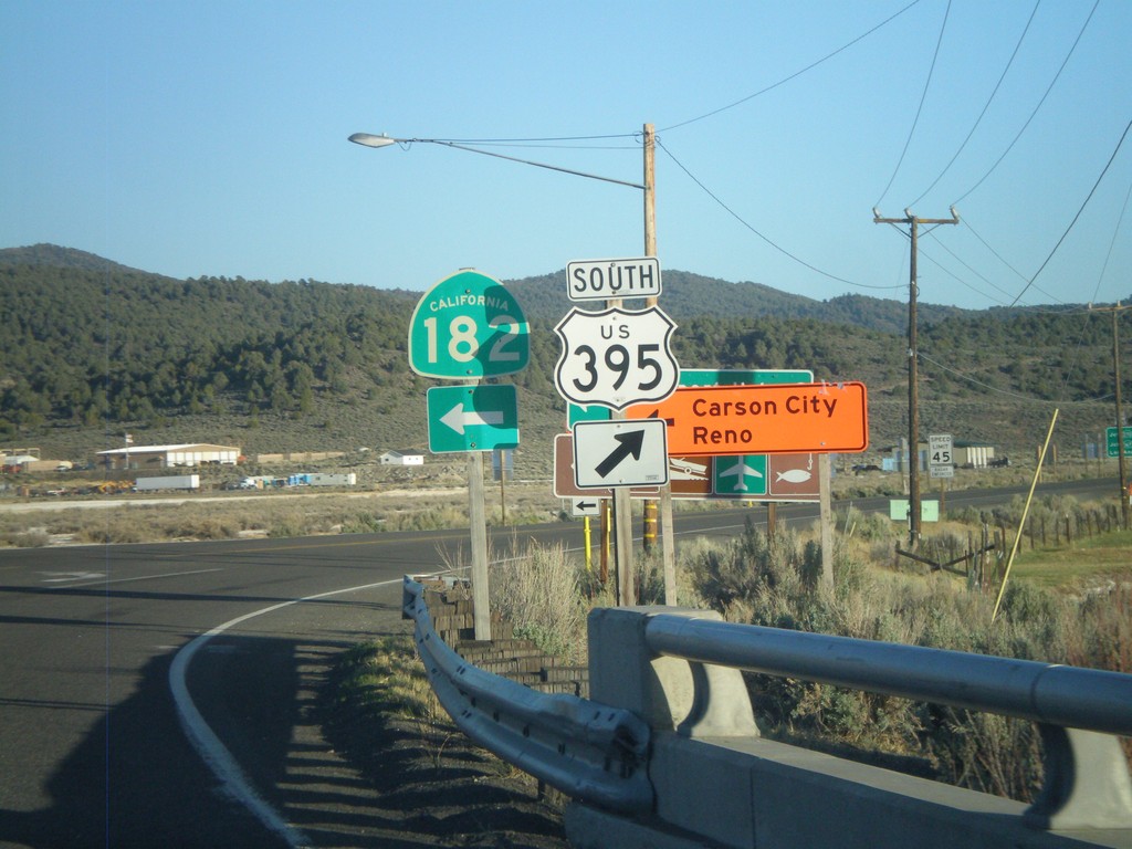
US-395 South at CA-182
US-395 south at CA-182 in Bridgeport. When this picture was taken, US-395 was closed in the evenings north of Bridgeport, so northbound US-395 traffic had to use CA-182 to reach Reno and Carson City, hence the orange directional signs.
Taken 05-06-2012

 Bridgeport
Mono County
California
United States
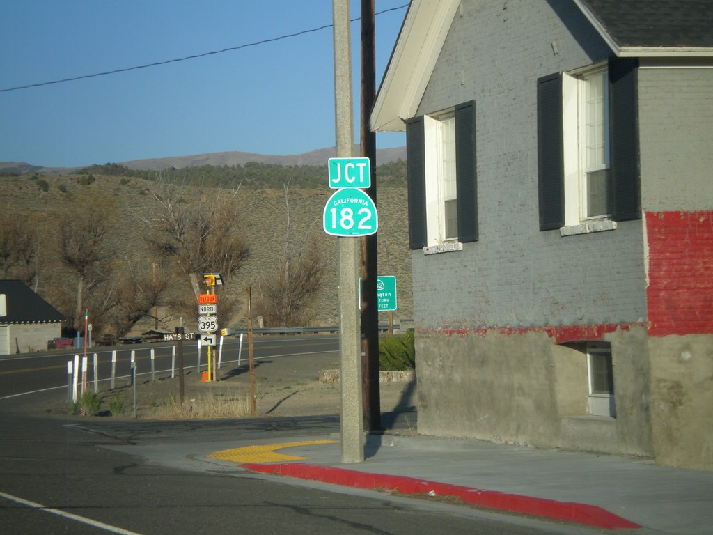
US-395 South Approaching CA-182
US-395 South approaching CA-182 in Bridgeport.
Taken 05-06-2012

 Bridgeport
Mono County
California
United States
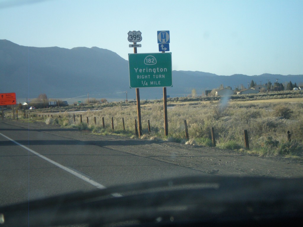
US-395 North Approaching CA-182
US-395 north approaching CA-182 north to Yerrington (Nevada). Turn left to continue north on US-395.
Taken 05-06-2012

 Bridgeport
Mono County
California
United States
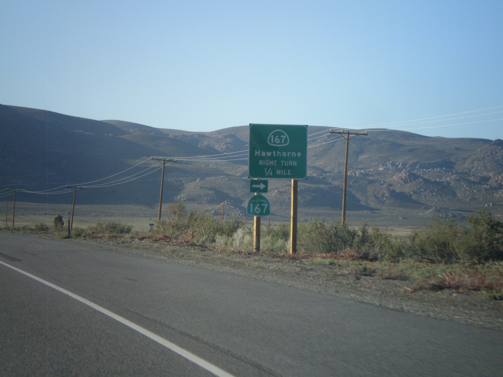
US-395 North Approaching CA-167
US-395 north approaching CA-167 east to Hawthorne (Nevada).
Taken 05-06-2012

 Lee Vining
Mono County
California
United States
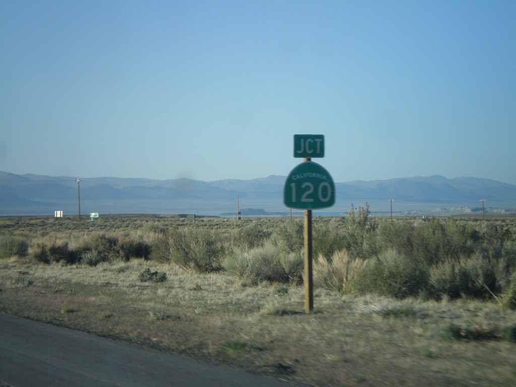
US-395 North At CA-120 East
US-395 north at CA-120 east. CA-120 west joins US-395 north to Lee Vining.
Taken 05-06-2012

 Lee Vining
Mono County
California
United States
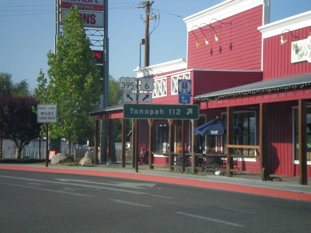
US-395 North at US-6
US-395 north at US-6 in Bishop. Use US-6 east for Tonopah (Nevada). This is the western terminus of US-6. The eastern end of US-6 is Provincetown, MA.
Taken 05-06-2012

 Bishop
Inyo County
California
United States
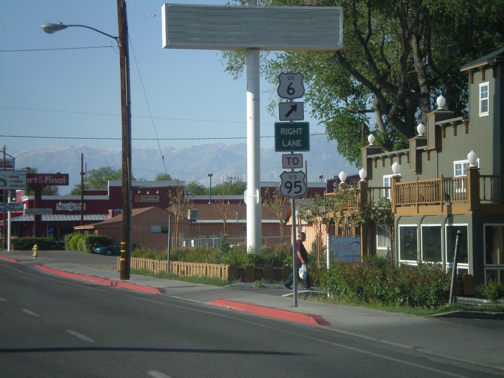
US-395 North Approaching US-6
US-395 north approaching US-6 in Bishop. Use US-6 east for US-95. This is the western terminus of US-6.
Taken 05-06-2012


 Bishop
Inyo County
California
United States
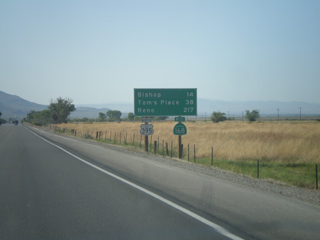
US-395 North/CA-168 West - Distance Marker
Distance marker on US-395 North/CA-168 West. Distance to Bishop, Tom’s Place, and Reno.
Taken 05-06-2012

 Big Pine
Inyo County
California
United States
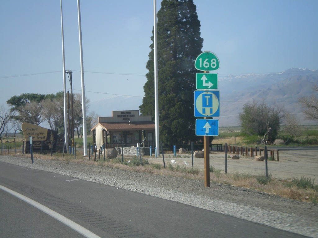
US-395 North at CA-168
US-395 north at CA-168 east. CA-168 west joins US-395 north to Bishop.
Taken 05-06-2012

 Big Pine
Inyo County
California
United States
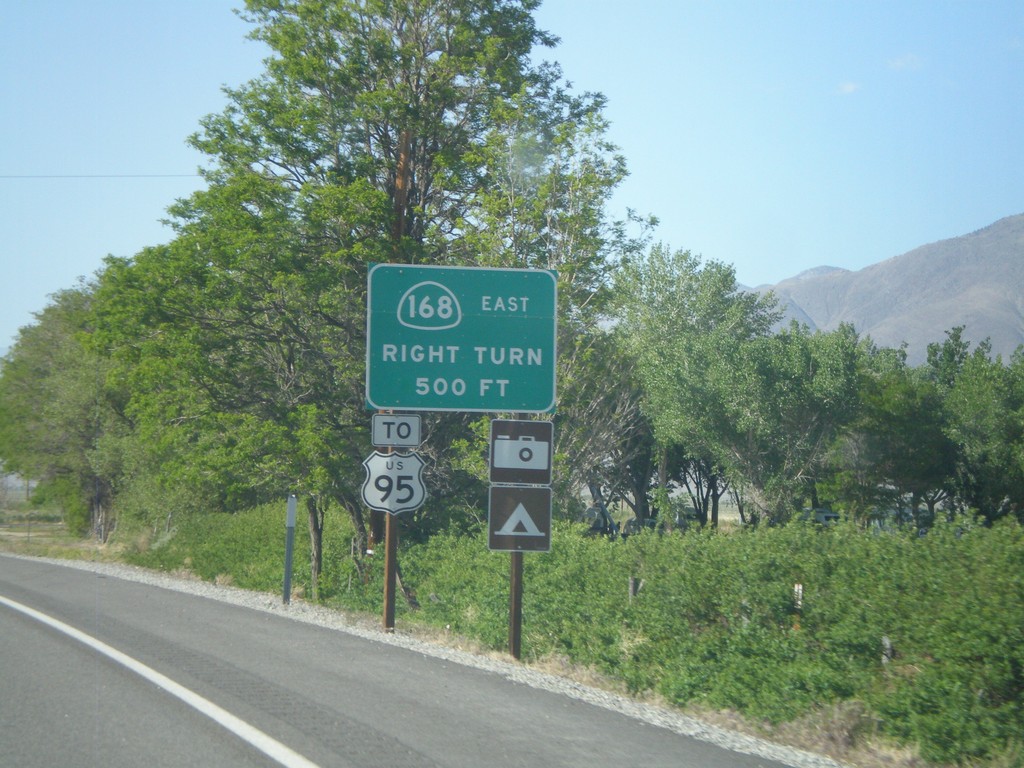
US-395 North Approaching CA-168
US-395 north approaching CA-168 east. Use CA-168 east for US-95 (in Nevada). CA-168 heads east from here over the White Mountains into Nevada.
Taken 05-06-2012


 Big Pine
Inyo County
California
United States
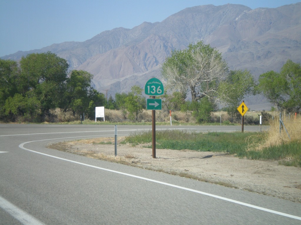
US-395 North at CA-136 East
US-395 North at CA-136 East on the south side of Lone Pine. CA-136 heads east across the north and east edges of dry Owens Lake to CA-190 junction.
Taken 05-06-2012

 Lone Pine
Inyo County
California
United States