Signs Tagged With Shield
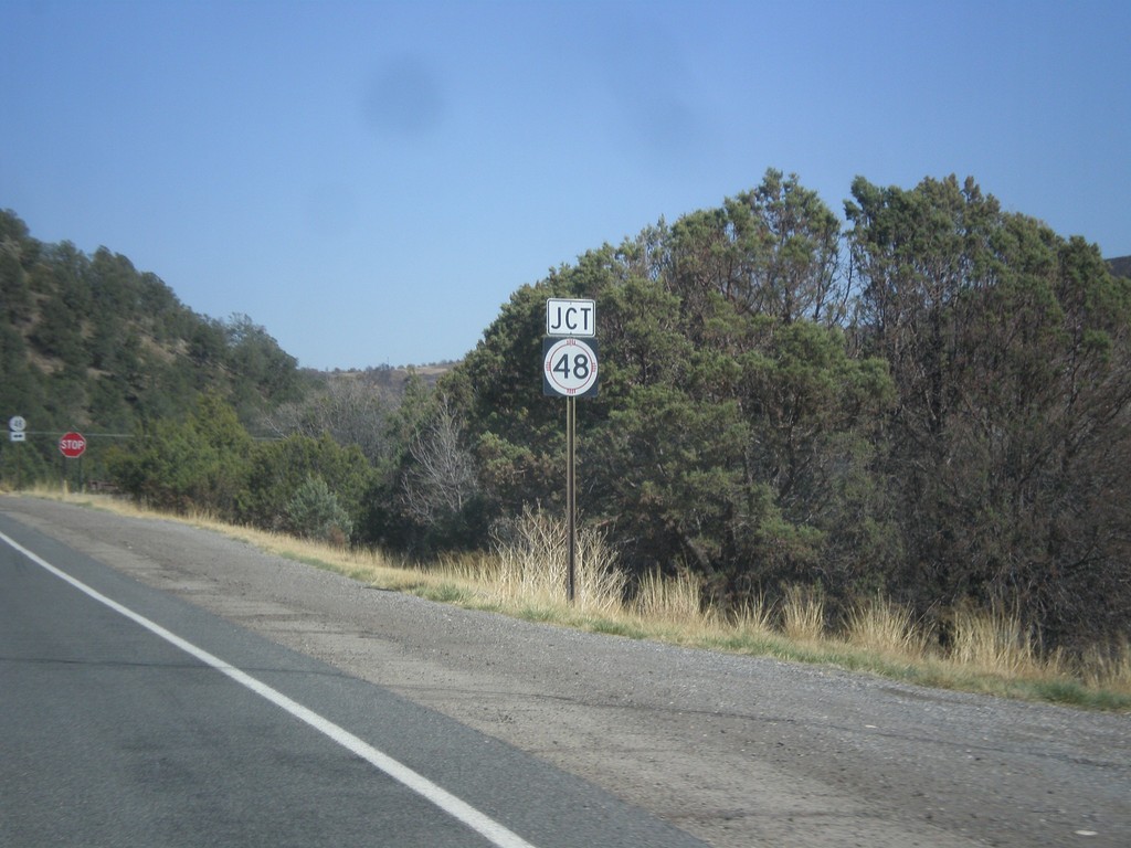
NM-37 South Approaching NM-48
End NM-37 south approaching NM-48 junction.
Taken 04-15-2013

 Capitan
Lincoln County
New Mexico
United States
Capitan
Lincoln County
New Mexico
United States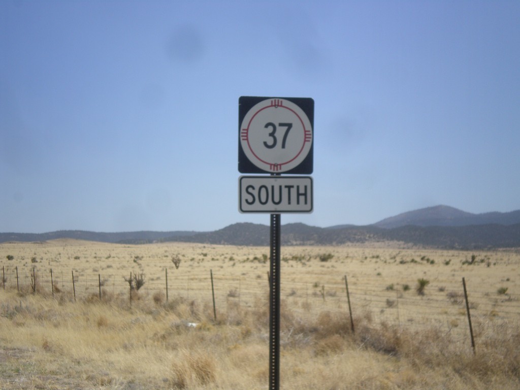
NM-37 South
NM-37 south, just south of US-380 junction.
Taken 04-15-2013
Capitan
Lincoln County
New Mexico
United States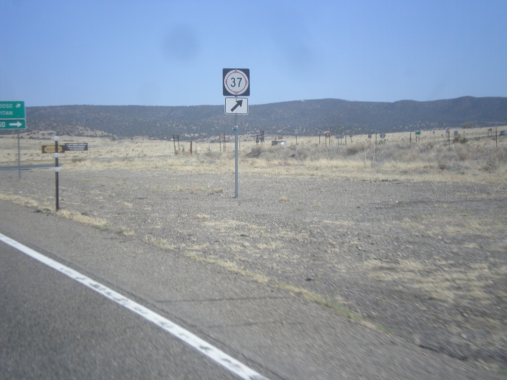
US-380 East at NM-37
US-380 east at NM-37 south, in Lincoln County.
Taken 04-15-2013
 Carrizozo
Lincoln County
New Mexico
United States
Carrizozo
Lincoln County
New Mexico
United States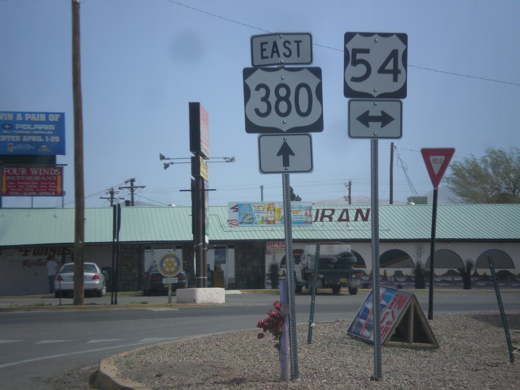
US-380 East at US-54
US-380 east at US-54 junction in Carrizozo.
Taken 04-15-2013
 Carrizozo
Lincoln County
New Mexico
United States
Carrizozo
Lincoln County
New Mexico
United States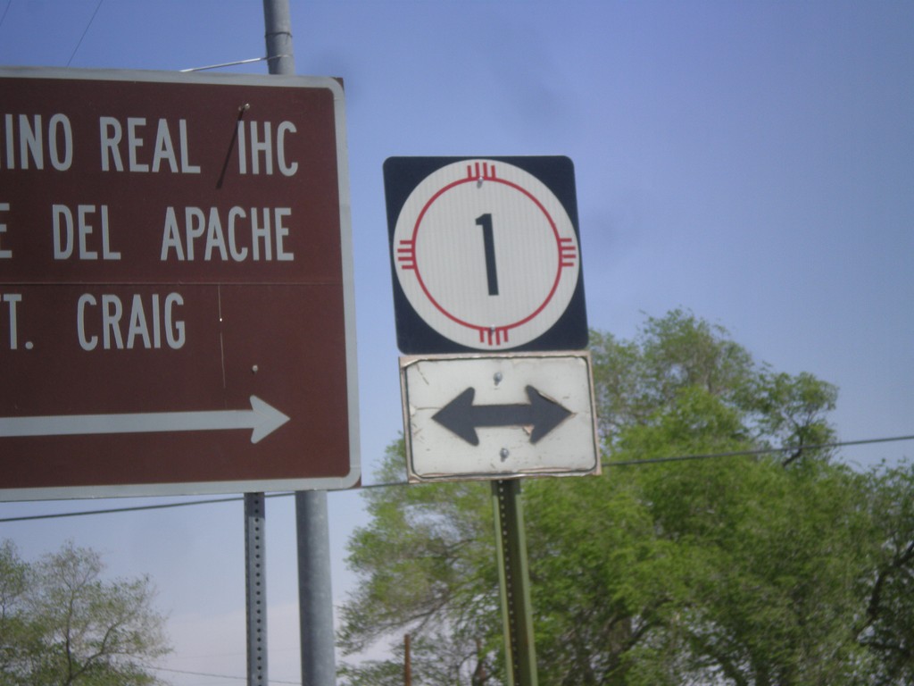
US-380 East at NM-1
US-380 east at NM-1 junction in San Antonio. NM-1 parallels I-25 between Truth of Consequences and Socorro.
Taken 04-15-2013
 San Antonio
Socorro County
New Mexico
United States
San Antonio
Socorro County
New Mexico
United States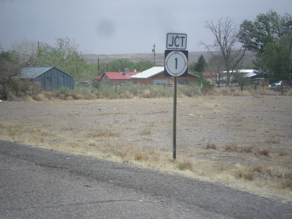
US-380 East Approaching NM-1
US-380 east approaching NM-1 in San Antonio.
Taken 04-15-2013
San Antonio
Socorro County
New Mexico
United States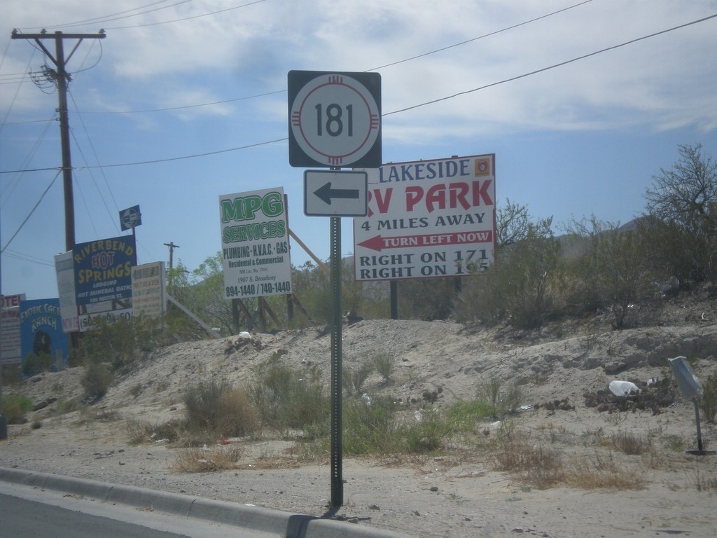
BL-25 South at NM-181
BL-25 south at NM-181 in Truth or Consequences.
Taken 04-15-2013

 Truth or Consequences
Sierra County
New Mexico
United States
Truth or Consequences
Sierra County
New Mexico
United States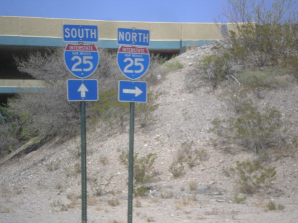
NM-152 West at I-25
NM-152 West at I-25 in rural Sierra County.
Taken 04-15-2013

 Caballo
Sierra County
New Mexico
United States
Caballo
Sierra County
New Mexico
United States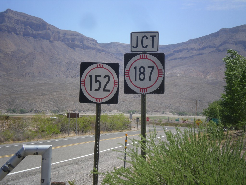
NM-152 East Approaching NM-187
End NM-152 east approaching NM-187, in rural Sierra County.
Taken 04-15-2013
 Caballo
Sierra County
New Mexico
United States
Caballo
Sierra County
New Mexico
United States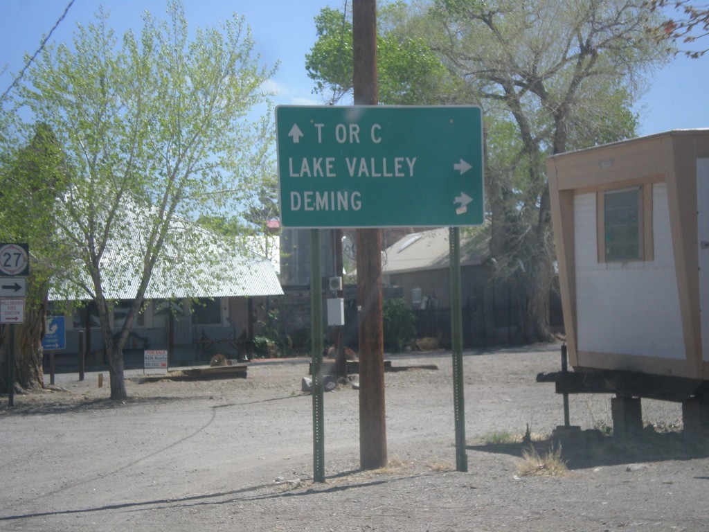
NM-152 East at NM-27
NM-152 east at NM-27 south to Deming and Lake Valley. Continue east on NM-152 for Truth or Consequences (T or C).
Taken 04-15-2013
 Hillsboro
Sierra County
New Mexico
United States
Hillsboro
Sierra County
New Mexico
United States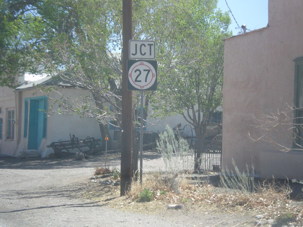
NM-152 East Approaching NM-27
NM-152 east approaching NM-27 south in Hillsboro.
Taken 04-15-2013
Hillsboro
Sierra County
New Mexico
United States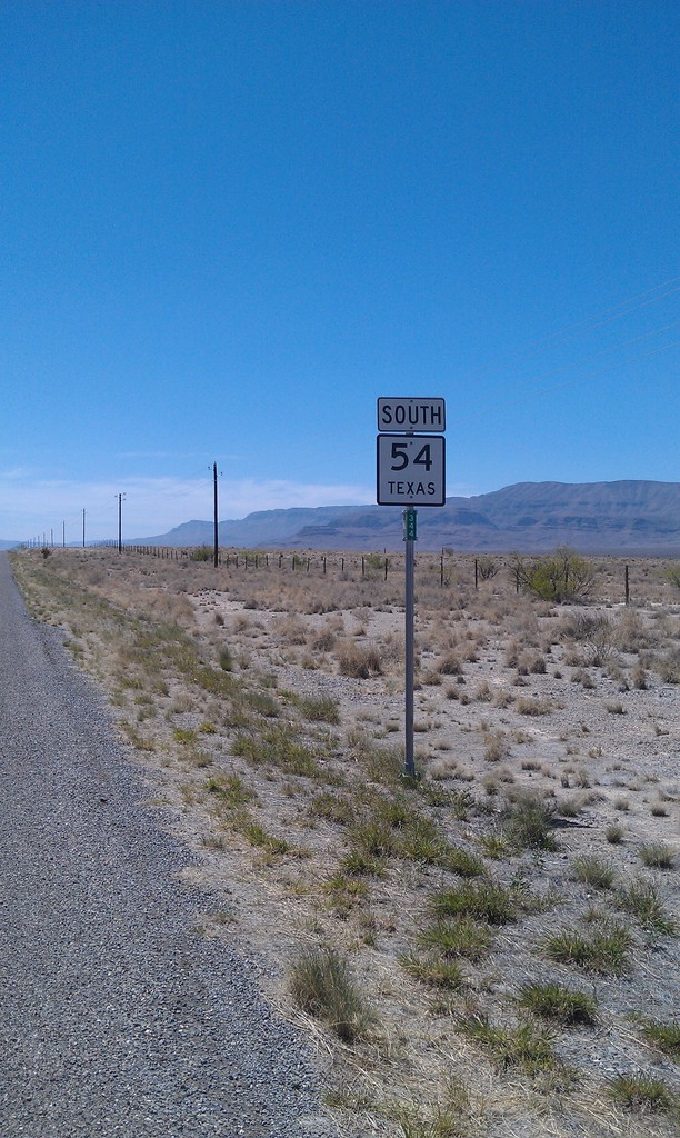
TX-54 South
TX-54 south in Culberson County.
Taken 04-15-2013
 Van Horn
Culberson County
Texas
United States
Van Horn
Culberson County
Texas
United States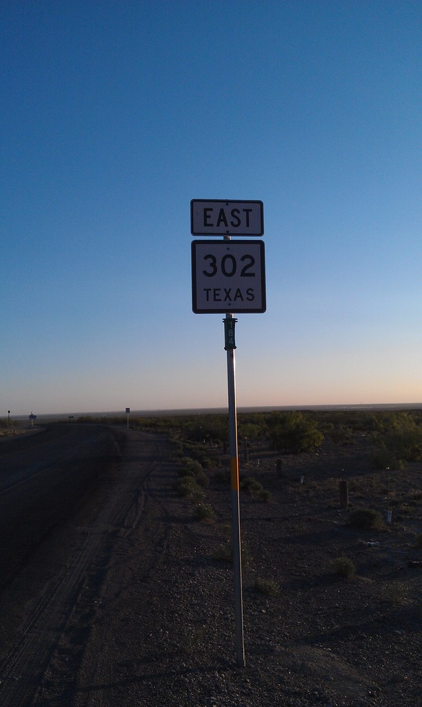

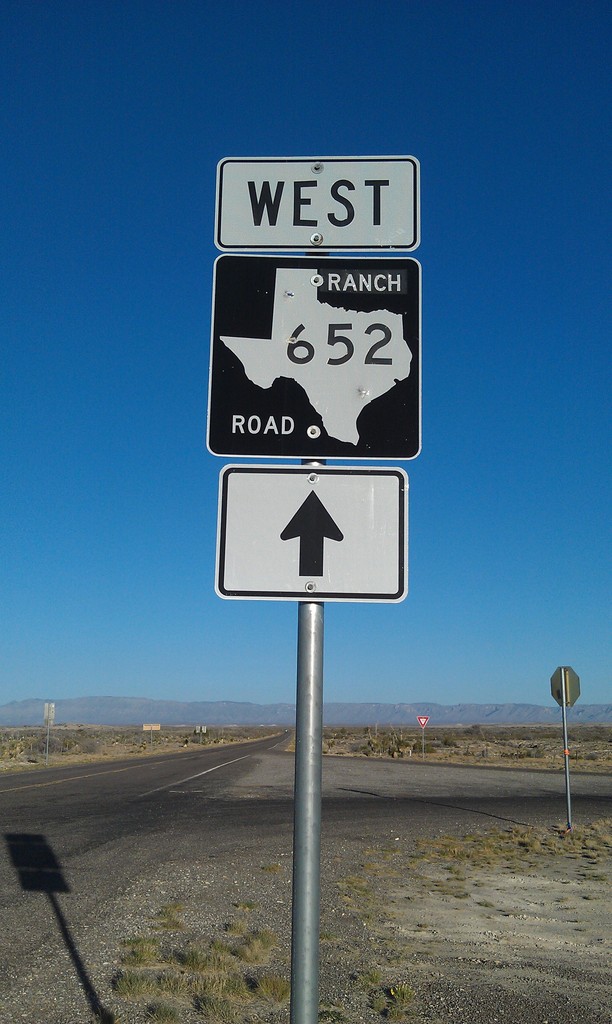
RM-652 West
RM-652 west in Culberson County.
Taken 04-15-2013
 Carlsbad
Culberson County
Texas
United States
Carlsbad
Culberson County
Texas
United States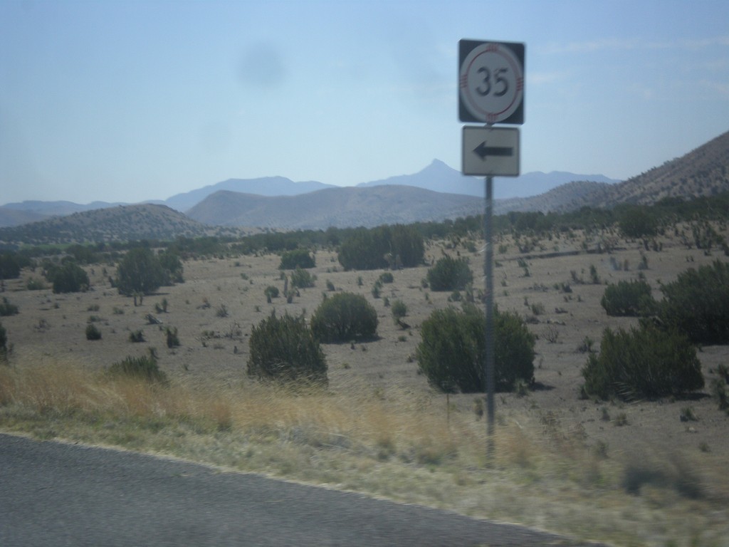
NM-152 East at NM-35 Jct.
NM-152 east at NM-35 junction in Grant County.
Taken 04-14-2013
 Hanover
Grant County
New Mexico
United States
Hanover
Grant County
New Mexico
United States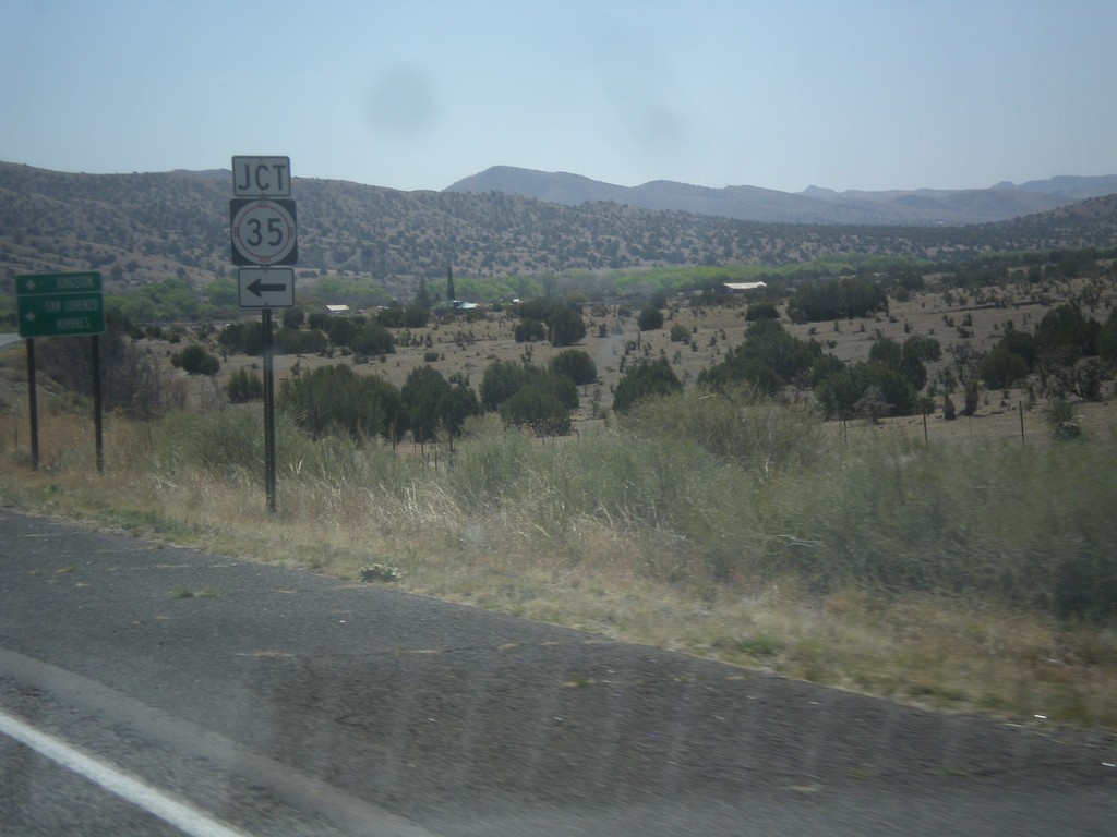
NM-152 East Approaching NM-35
NM-152 east approaching NM-35.
Taken 04-14-2013
Hanover
Grant County
New Mexico
United States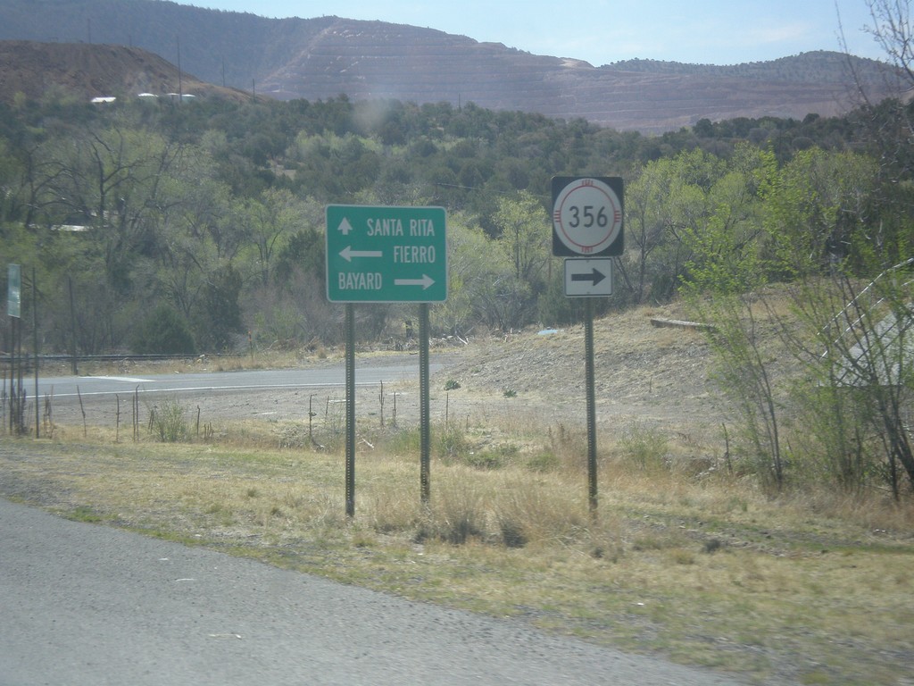
NM-152 East at NM-356
NM-152 east at NM-356. Turn right NM-356 south for Bayard. Continue ahead on NM-152 for Santa Rita. Turn left for Fierro.
Taken 04-14-2013
 Hanover
Grant County
New Mexico
United States
Hanover
Grant County
New Mexico
United States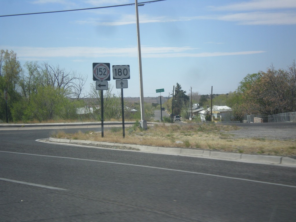
US-180 East at NM-152
US-180 east at NM-152 in Santa Clara.
Taken 04-14-2013
 Bayard
Grant County
New Mexico
United States
Bayard
Grant County
New Mexico
United States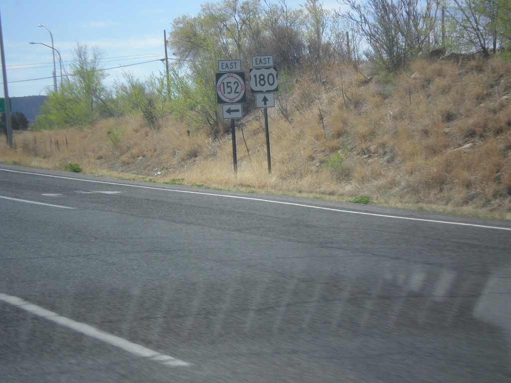
US-180 East at NM-152
US-180 east at NM-152 junction in Santa Clara.
Taken 04-14-2013
Bayard
Grant County
New Mexico
United States
End NM-90 North at US-180
End NM-90 north at US-180 east.
Taken 04-14-2013
 Silver City
Grant County
New Mexico
United States
Silver City
Grant County
New Mexico
United States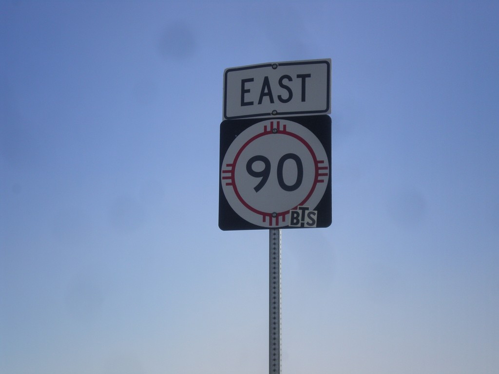
NM-90 East
NM-90 east in Hidalgo County.
Taken 04-14-2013
Lordsburg
Hidalgo County
New Mexico
United States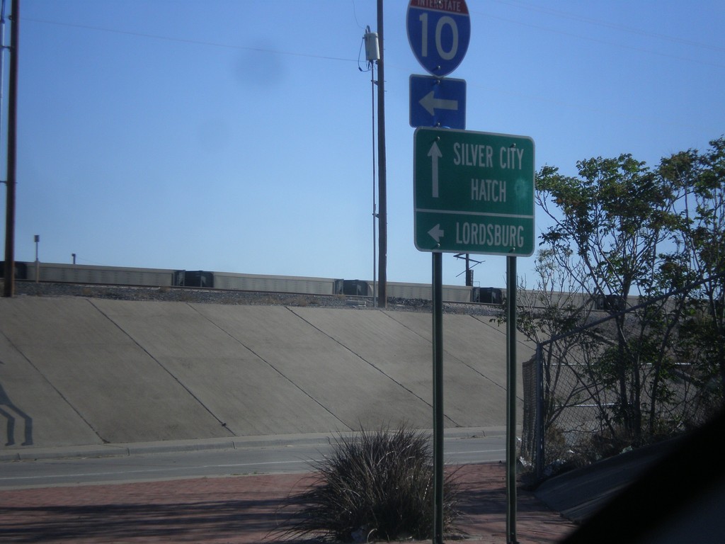
US-180 West/NM-26 East at I-10
US-180 West/NM-26 East at I-10 west. Turn left for I-10 west to Lordsburg. Continue straight for US-180 West/NM-26 East for Silver City and Hatch.
Taken 04-14-2013

 Deming
Luna County
New Mexico
United States
Deming
Luna County
New Mexico
United States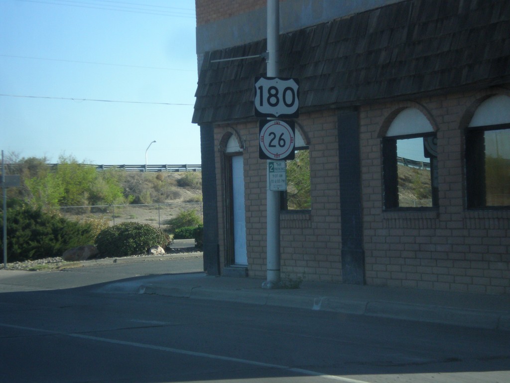
US-180 West/NM-26 East
US-180 West/NM-26 East in Deming, approaching I-10.
Taken 04-14-2013
Deming
Luna County
New Mexico
United States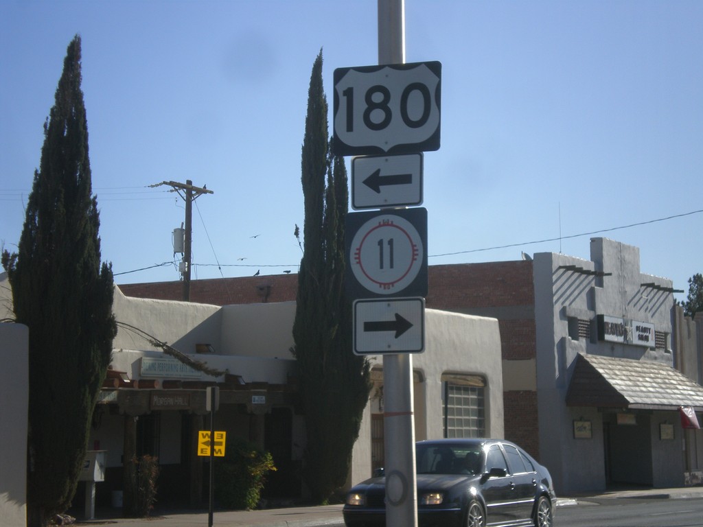
BL-10 East at US-180/NM-11
BL-10 east at US-180/NM-11. Turn left for US-180 west; turn right for NM-11 south.
Taken 04-14-2013

 Deming
Luna County
New Mexico
United States
Deming
Luna County
New Mexico
United States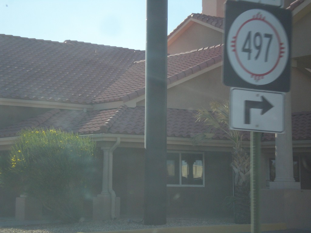
BL-10 East at NM-497
BL-10 east at NM-497 in Deming.
Taken 04-14-2013
 Deming
Luna County
New Mexico
United States
Deming
Luna County
New Mexico
United States