Signs Tagged With Shield
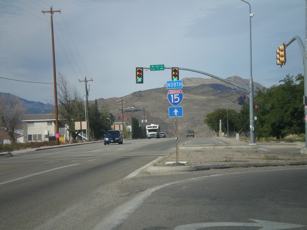
Use UT-17 North for I-15
UT-9 east at UT-17. Turn right to continue east on UT-9. Continue ahead on for UT-17 and for I-15 north.
Taken 10-10-2011


 La Verkin
Washington County
Utah
United States
La Verkin
Washington County
Utah
United States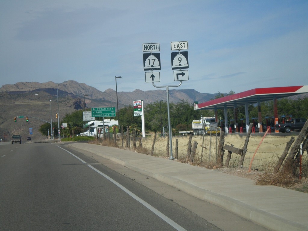
UT-9 East Approaching UT-17
UT-9 East approaching UT-17 in La Verkin.
Taken 10-10-2011
La Verkin
Washington County
Utah
United States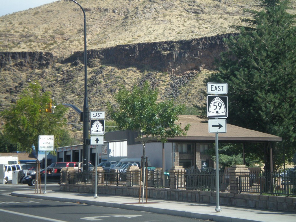
UT-9 East at UT-59
UT-9 East at UT-59 in Hurricane.
Taken 10-10-2011
 Hurricane
Washington County
Utah
United States
Hurricane
Washington County
Utah
United States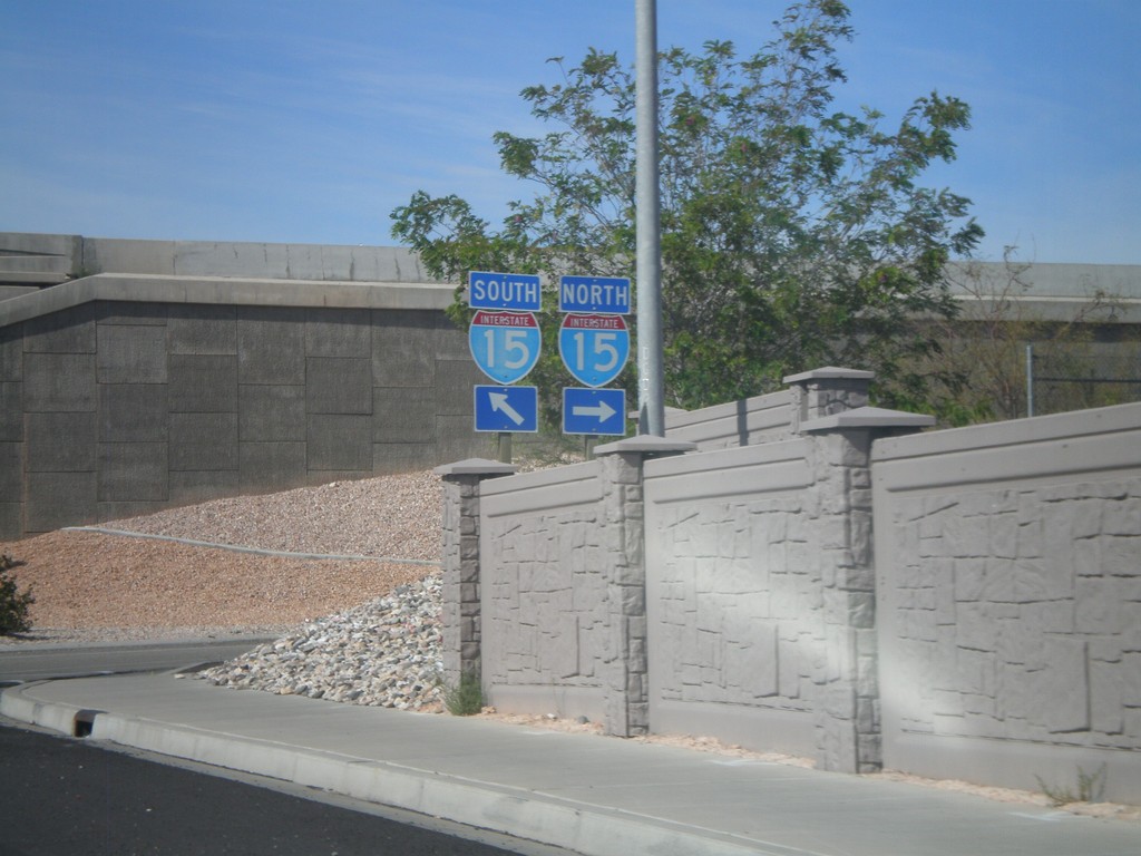
UT-212 (Green Springs Drive) at I-15
UT-212 at I-15 onramps (Exit 10). Turn right for I-15 north; continue under the freeway for I-15 south.
Taken 10-10-2011
 Washington
 County
Utah
United States
Washington
Washington County
Utah
United States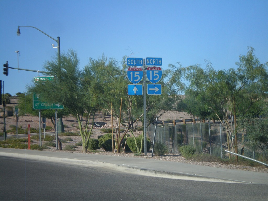
BL-15 North (Sandhill Blvd.) at I-15
BL-15 north (Sandhill Blvd.) at I-15 in Mesquite.
Taken 10-09-2011
 Mesquite
Clark County
Nevada
United States
Mesquite
Clark County
Nevada
United States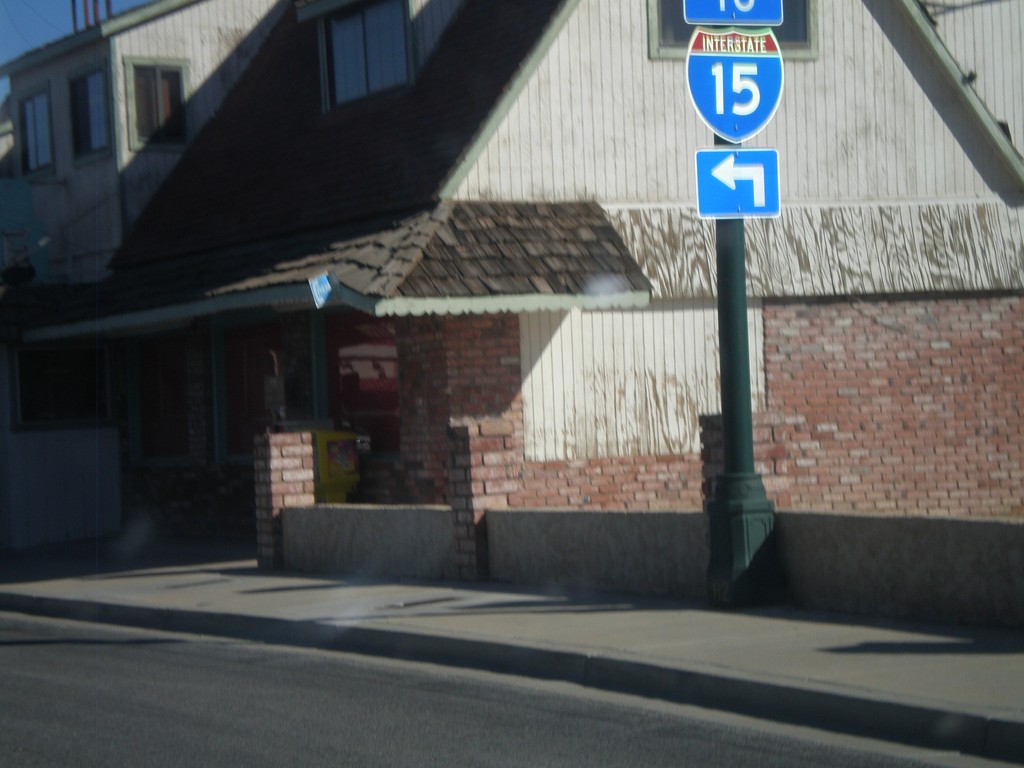
BL-15 - Mesquite Blvd. at Sandhill Blvd.
BL-15 - Mesquite Blvd. at Sandhill Blvd. Turn left on Sandhill Blvd. for I-15.
Taken 10-09-2011
Mesquite
Clark County
Nevada
United States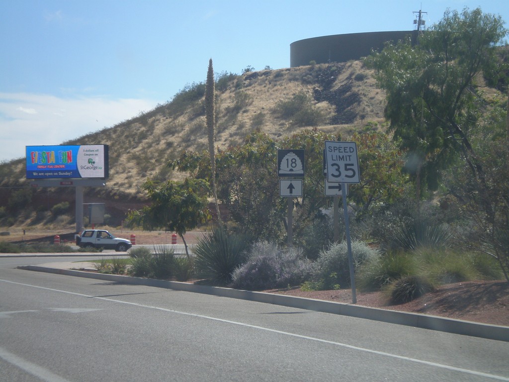
UT-18 South at UT-8
UT-18 south at UT-8 in St. George.
Taken 10-09-2011

 St. George
Washington County
Utah
United States
St. George
Washington County
Utah
United States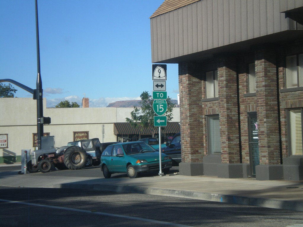
End UT-59 West at UT-9
End UT-59 west at UT-9. Turn left for I-15 (incorrectly signed as BL-15).
Taken 10-08-2011
Hurricane
Washington County
Utah
United States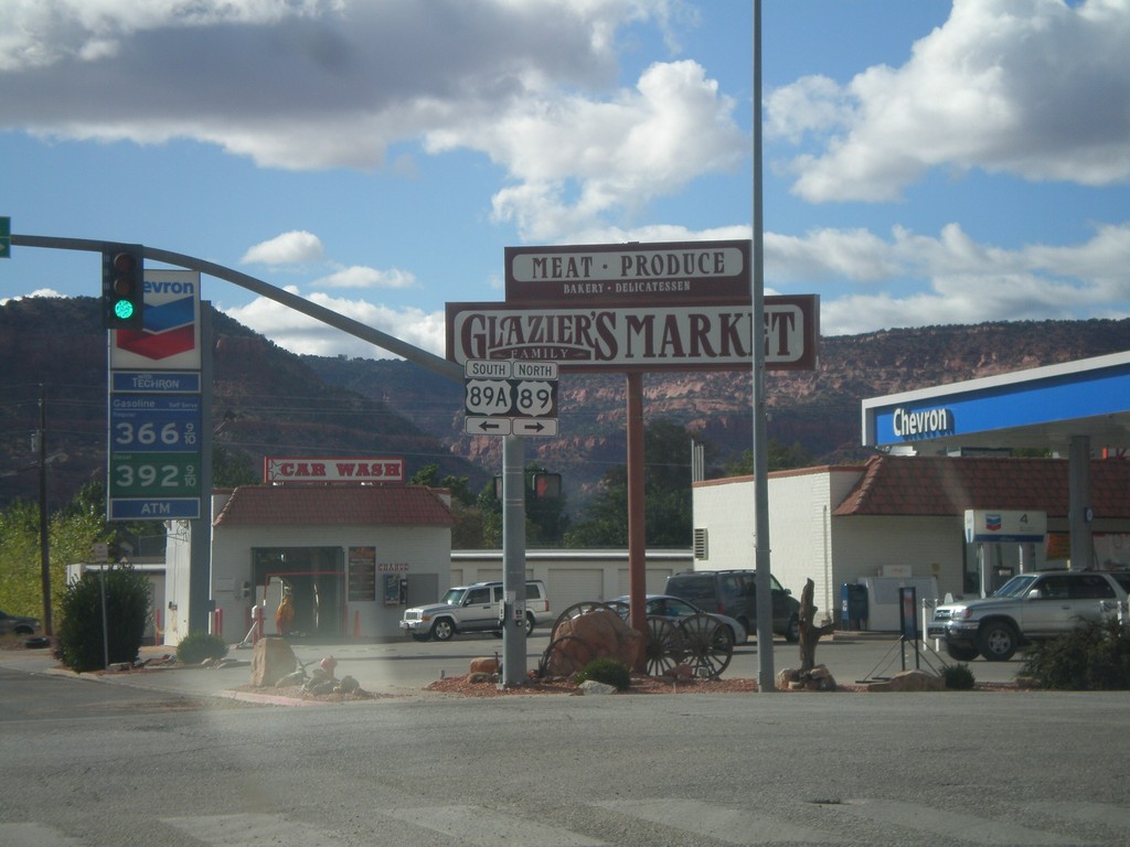
US-89 North at US-89A
US-89 north at US-89A. Turn left for US-89A; right to continue north on US-89. Until recently US-89A in Utah was marked as UT-11.
Taken 10-08-2011

 Kanab
Kane County
Utah
United States
Kanab
Kane County
Utah
United States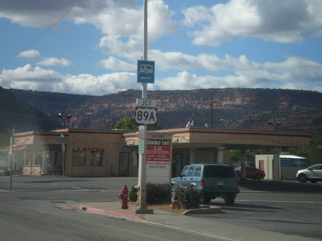
US-89 North Approaching US-89A
US-89 North approaching US-89A in Kanab.
Taken 10-08-2011
Kanab
Kane County
Utah
United States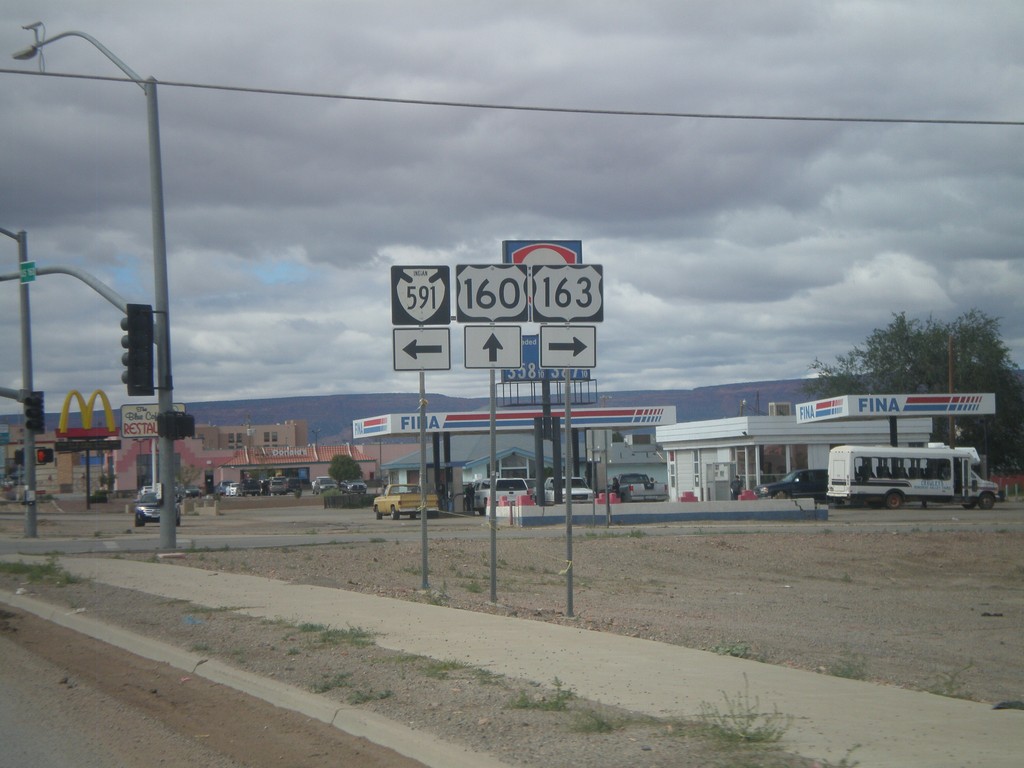
US-160 West at US-163 and Navajo IR-591
US-160 West at US-163 and Navajo IR-591. Turn right for US-163 east; turn left for Navajo IR-591.
Taken 10-08-2011


 Kayenta
Navajo County
Arizona
United States
Kayenta
Navajo County
Arizona
United States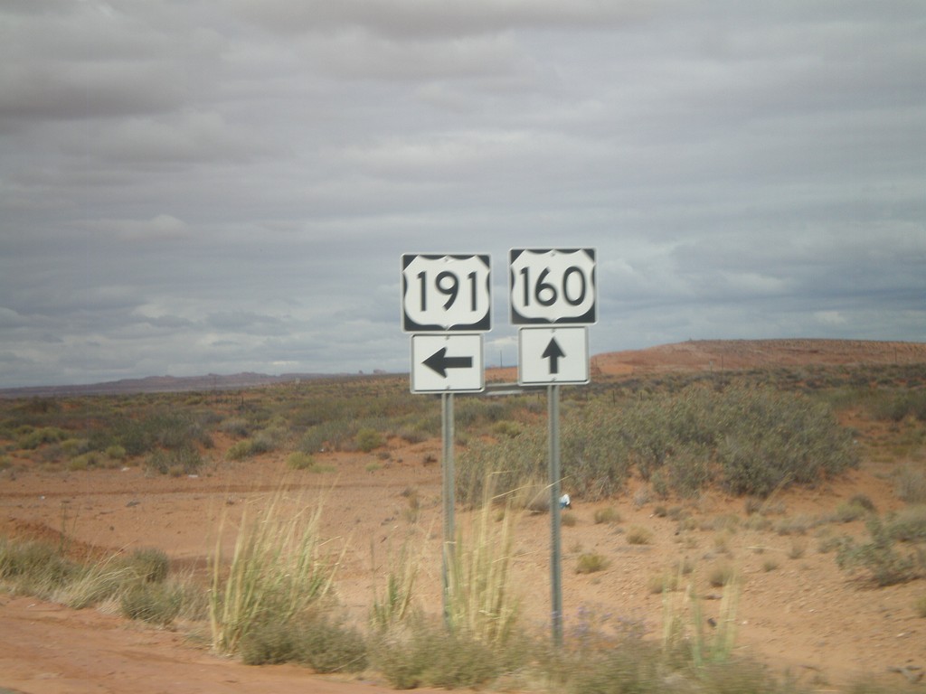
US-160 West/US-191 South at US-191 South
US-160 West/US-191 South at US-191 South in rural Apache County.
Taken 10-08-2011
 Mexican Water
Apache County
Arizona
United States
Mexican Water
Apache County
Arizona
United States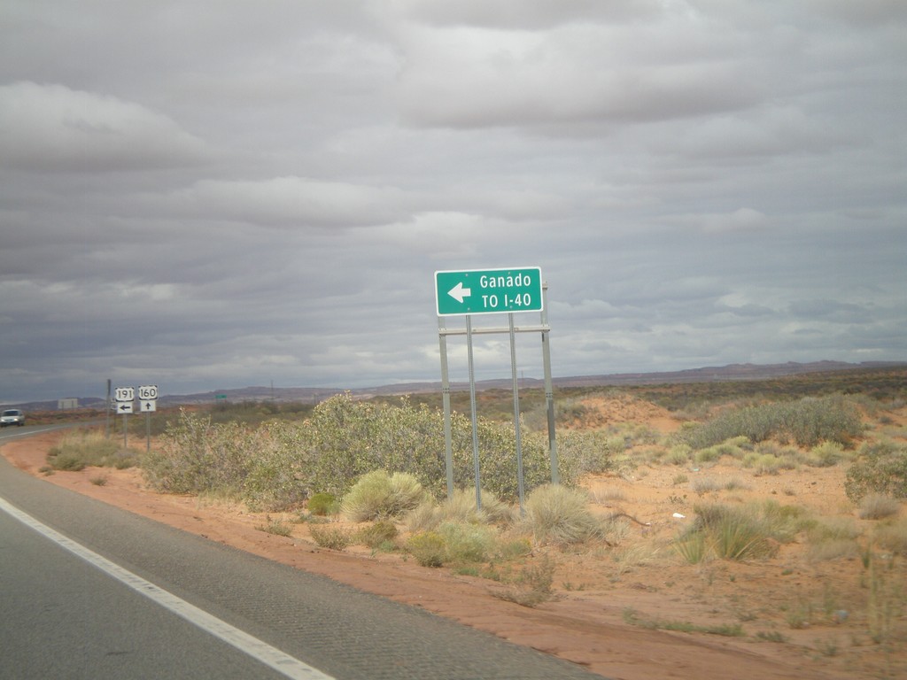
US-160 West/US-191 South Approaching US-191 South
US-160 West/US-191 South approaching US-191 south to I-40 and Ganado. The US-191 and US-160 shields are in the background of the photo.
Taken 10-08-2011
 Teec Nos Pos
Apache County
Arizona
United States
Teec Nos Pos
Apache County
Arizona
United States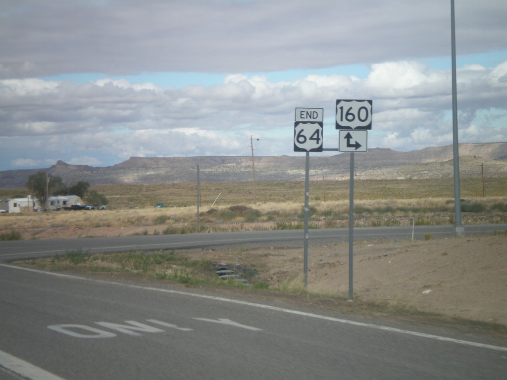
End US-64 West at US-160
End US-64 west at US-160 in Teec Nos Pos. Turn right for US-160 east; continue ahead for US-160 west.
Taken 10-08-2011
 Teec Nos Pos
Apache County
Arizona
United States
Teec Nos Pos
Apache County
Arizona
United States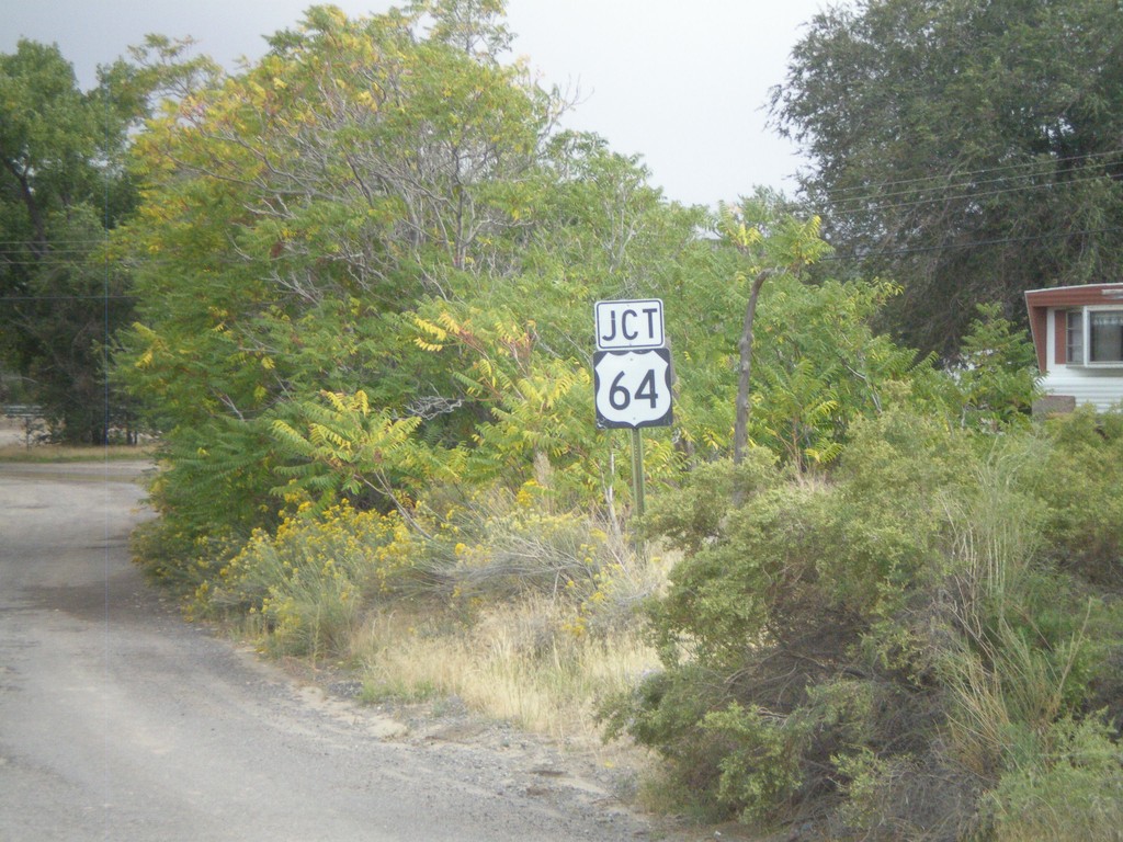
NM-575 South Approaching US-64
NM-575 south approaching US-64
Taken 10-07-2011
 Blanco
San Juan County
New Mexico
United States
Blanco
San Juan County
New Mexico
United States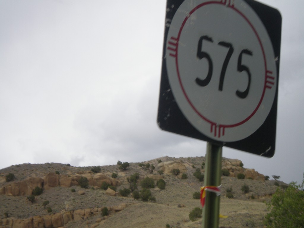
NM-575 North
NM-575 north near the community of Blanco.
Taken 10-07-2011
Bloomfield
San Juan County
New Mexico
United States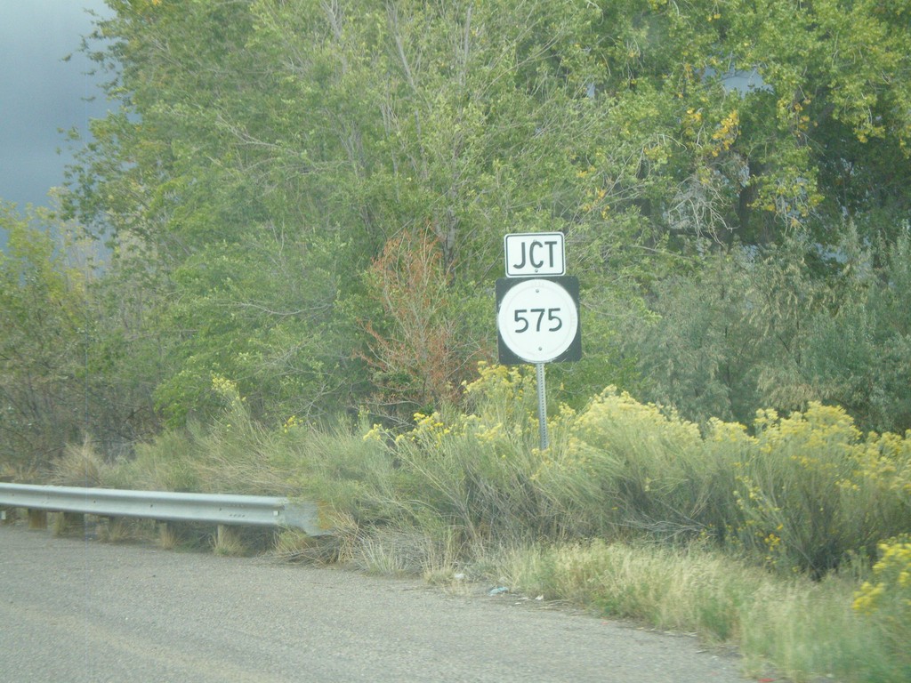
US-64 East Approaching NM-575
US-64 East approaching NM-575 near the community of Blanco.
Taken 10-07-2011
Bloomfield
San Juan County
New Mexico
United States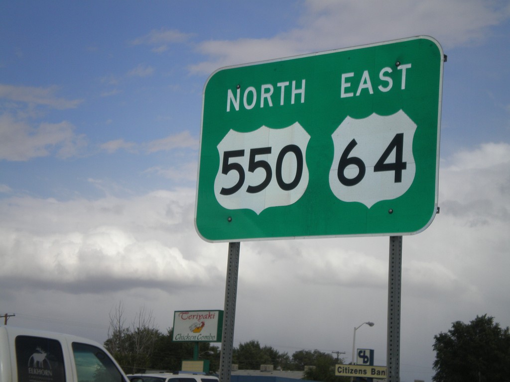
US-64 East/US-550 North
US-64 East/US-550 North in Bloomfield.
Taken 10-07-2011
 Bloomfield
San Juan County
New Mexico
United States
Bloomfield
San Juan County
New Mexico
United States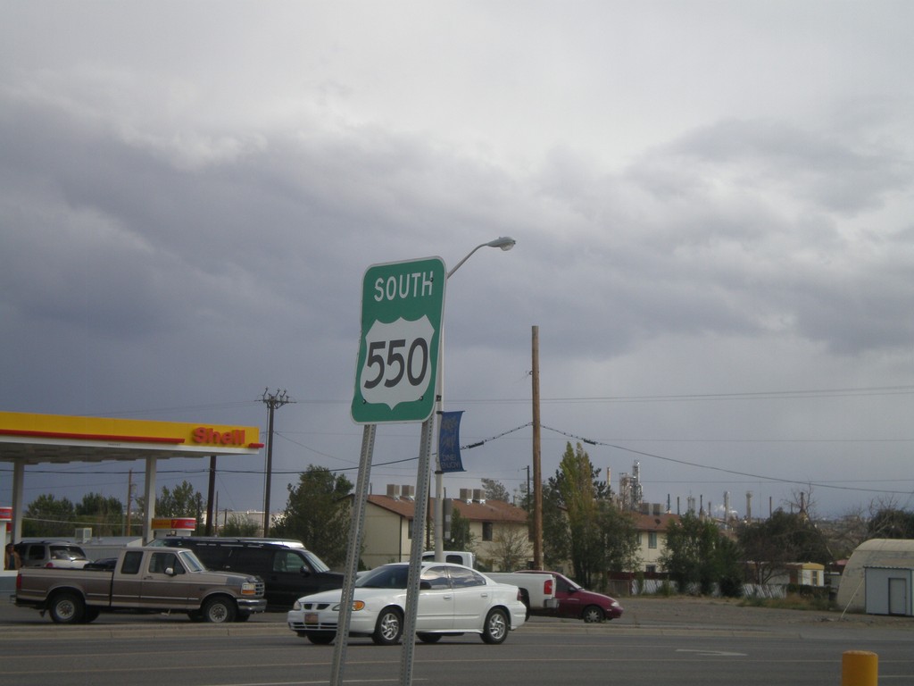
US-550 South
US-550 south in Bloomfield.
Taken 10-07-2011
Bloomfield
San Juan County
New Mexico
United States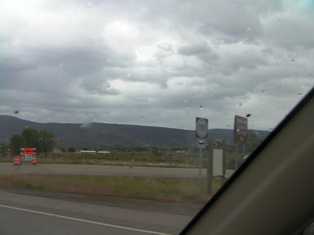
US-550 North at NM-197
US-550 North at NM-197 in Cuba.
Taken 10-06-2011
 Cuba
Sandoval County
New Mexico
United States
Cuba
Sandoval County
New Mexico
United States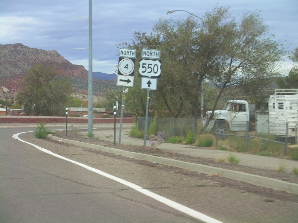
US-550 North at NM-4
US-550 north at NM-4 North in San Ysidro.
Taken 10-06-2011
 San Ysidro
Sandoval County
New Mexico
United States
San Ysidro
Sandoval County
New Mexico
United States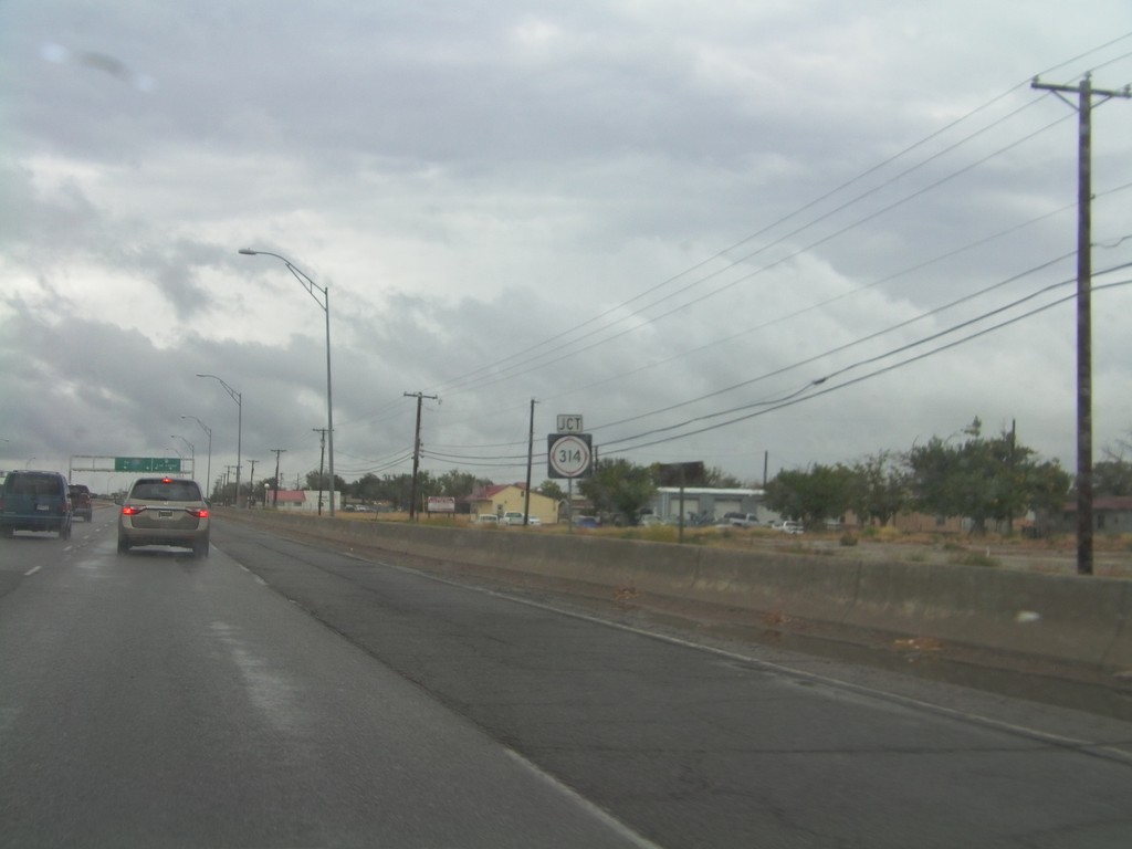
NM-314 North/BL-25 North Approaching Split
NM-314 North/BL-25 North approaching split. Use right lanes for NM-314 north towards Las Lunas. Use left lanes for BL-25 North towards I-25.
Taken 10-04-2011

 Belen
Valencia County
New Mexico
United States
Belen
Valencia County
New Mexico
United States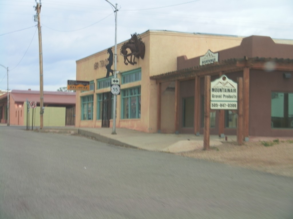
US-60 West Approaching NM-55
US-60 West approaching NM-55 in Mountainair.
Taken 10-04-2011

 Mountainair
Torrance County
New Mexico
United States
Mountainair
Torrance County
New Mexico
United States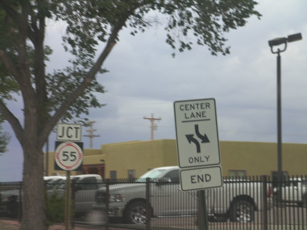
NM-41 South Approaching NM-55
NM-41 South approaching NM-55 in Estancia.
Taken 10-04-2011
 South
Torrance County
New Mexico
United States
South
Torrance County
New Mexico
United States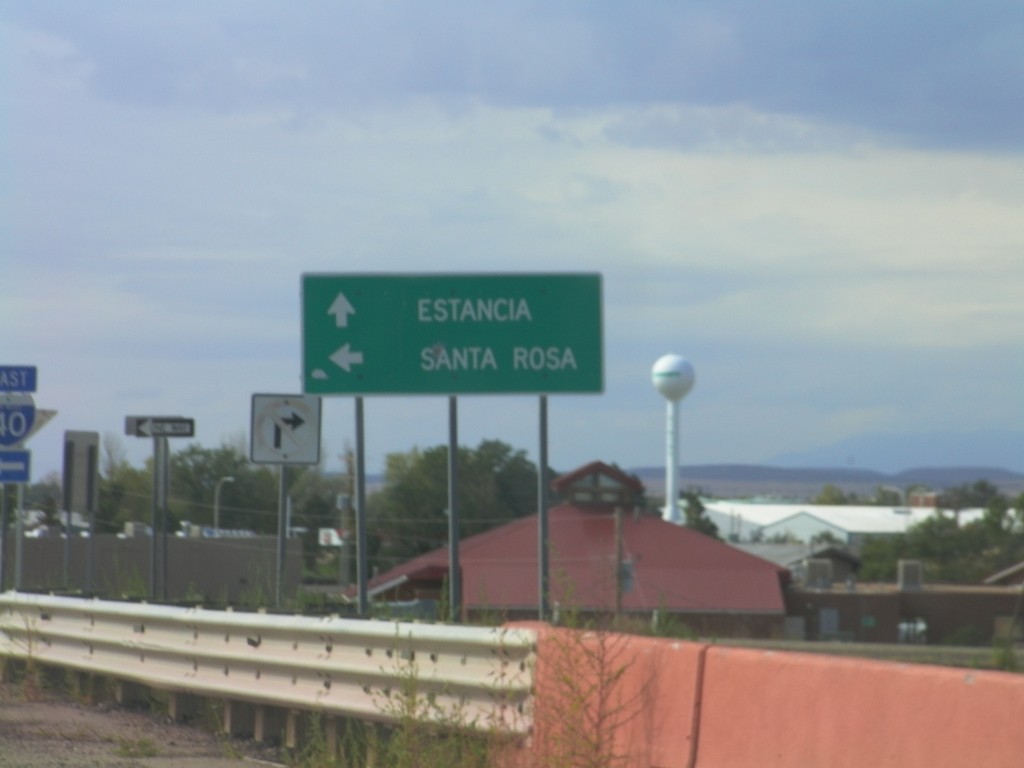
NM-41 South at I-40 East
NM-41 South at I-40 East onramp to Santa Rosa. Continue south on NM-41 for Estancia.
Taken 10-04-2011
Moriarty
Torrance County
New Mexico
United States