Signs Tagged With Shield
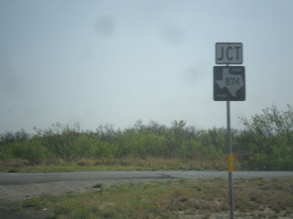
TX-18 South at FM-874
TX-18 south at FM-874 junction.
Taken 04-14-2013

 Kermit
Winkler County
Texas
United States
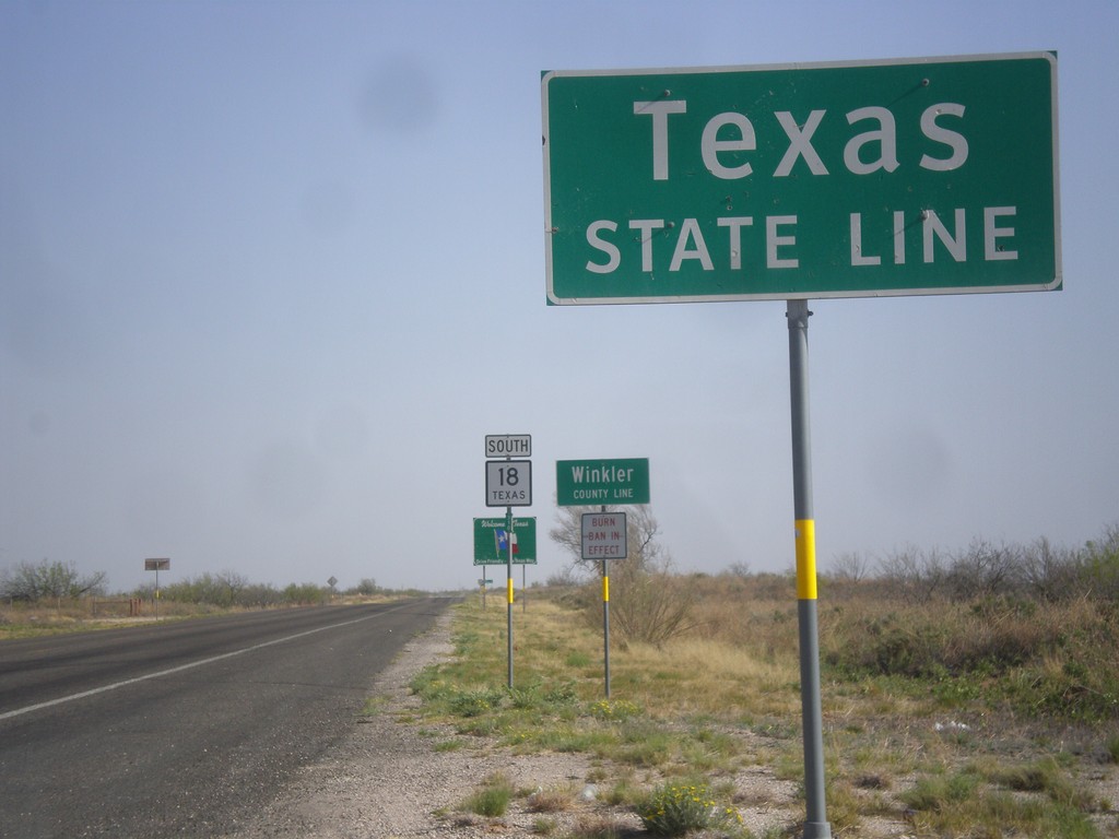
TX-18 South - Texas State Line
Texas State Line on TX-18 south. In the background is the first TX-18 shield, Winkler County Line, and larger Texas welcome sign. Taken at the New Mexico state line.
Taken 04-14-2013
Kermit
Winkler County
Texas
United States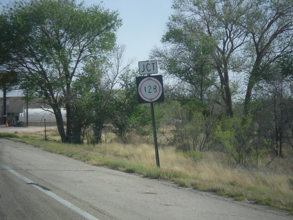
NM-18 South at NM-128
NM-18 south at NM-128 in Jal.
Taken 04-14-2013

 Jal
Lea County
New Mexico
United States
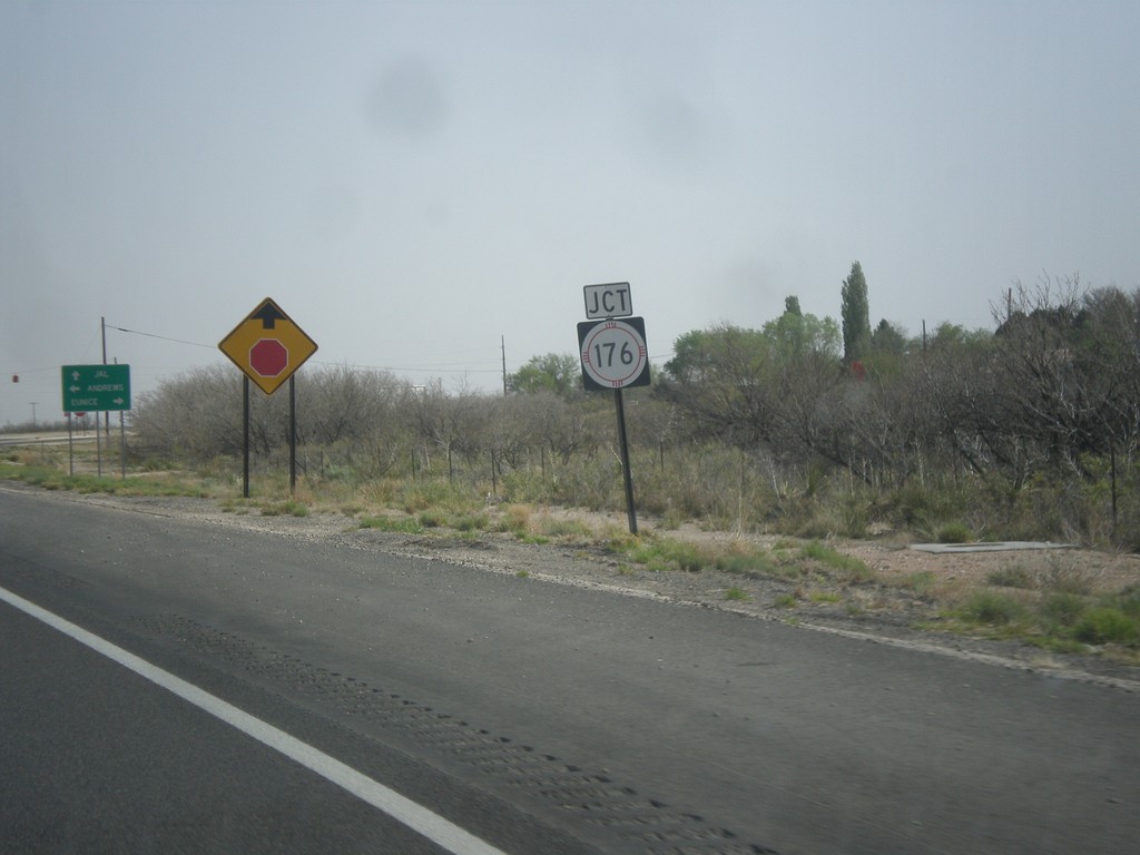
NM-18 South Approaching NM-176
NM-18 south approaching NM-176 in Eunice.
Taken 04-14-2013
 Eunice
Lea County
New Mexico
United States
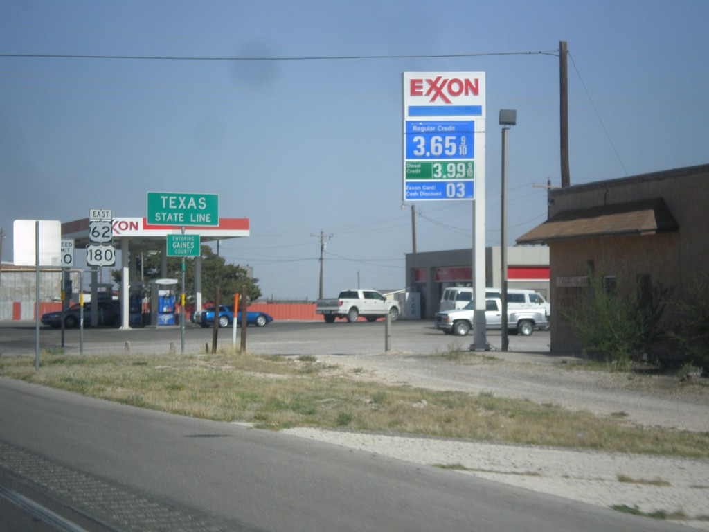
US-62/US-180 East - Texas State Line
Texas State Line on US-62/US-180 East. Entering Gaines County. Also entering Central Time Zone, although that sign is a few yards down.
Taken 04-14-2013

 Seminole
Gaines County
Texas
United States
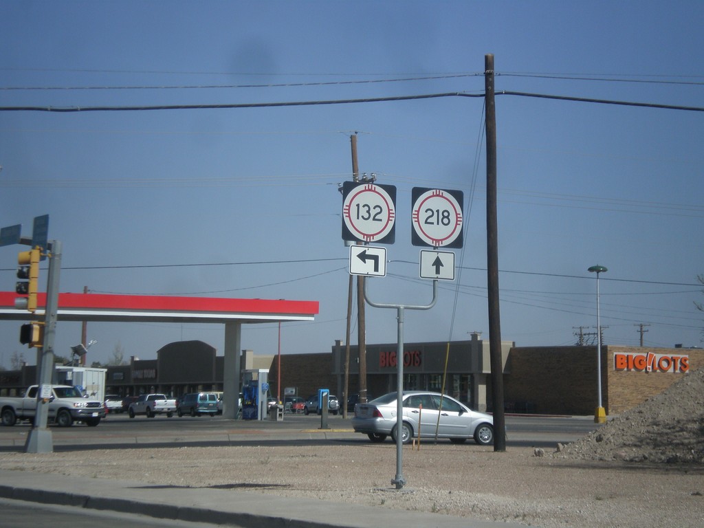
NM-18 South at NM-218/NM-132
NM-18 south at NM-218/NM-132 junction (Dal Paso St.) in Hobbs.
Taken 04-14-2013

 Hobbs
Lea County
New Mexico
United States
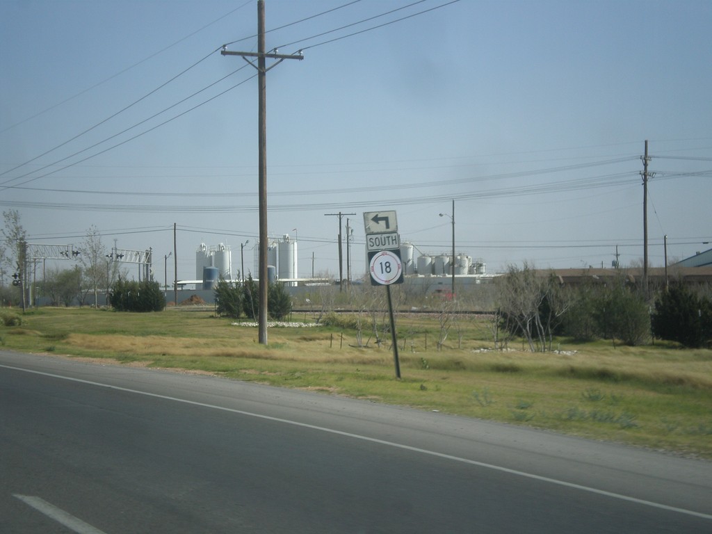
NM-18 South - Bender St.
NM-18 south (Lovington Highway) at Bender St. Turn left on Bender St. to continue south on NM-18.
Taken 04-14-2013
Hobbs
Lea County
New Mexico
United States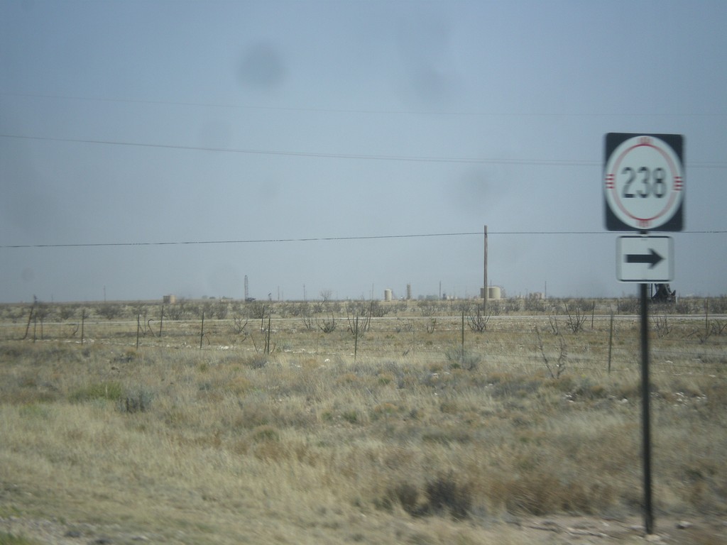
US-82 East at NM-238 South
US-82 east at NM-238 south.
Taken 04-14-2013

 Lovington
Lea County
New Mexico
United States
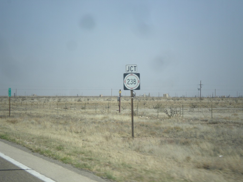
US-82 East Approaching NM-238
US-82 east approaching NM-238 south.
Taken 04-14-2013
Lovington
Lea County
New Mexico
United States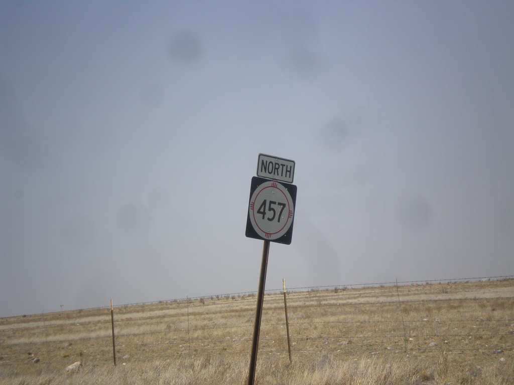
NM-457 North
NM-457 north in Lea County.
Taken 04-14-2013
 Lovington
Lea County
New Mexico
United States
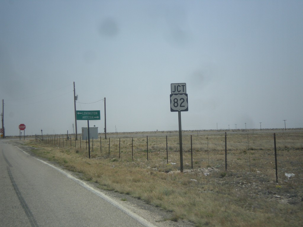
NM-457 South at US-82
NM-457 south at US-82. Turn right on US-82 (west) for Artesia; left on US-82 (east) for Lovington.
Taken 04-14-2013
Lovington
Lea County
New Mexico
United States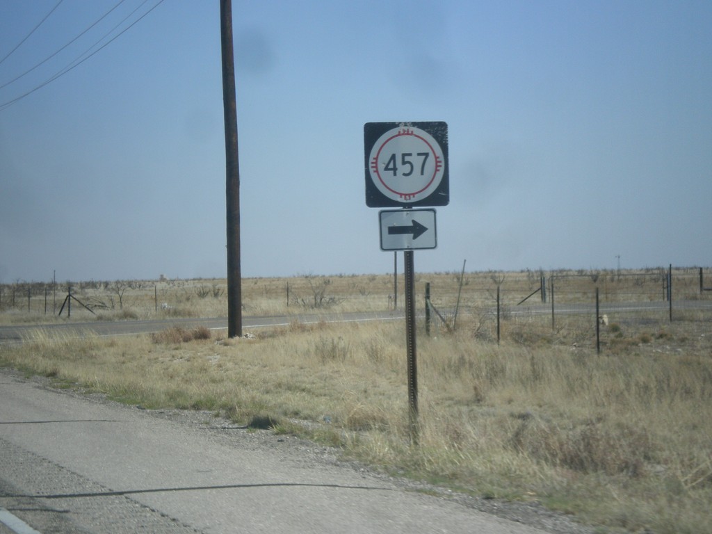
US-380 East at NM-457
US-380 east at NM-457 south.
Taken 04-14-2013
 Tatum
Lea County
New Mexico
United States
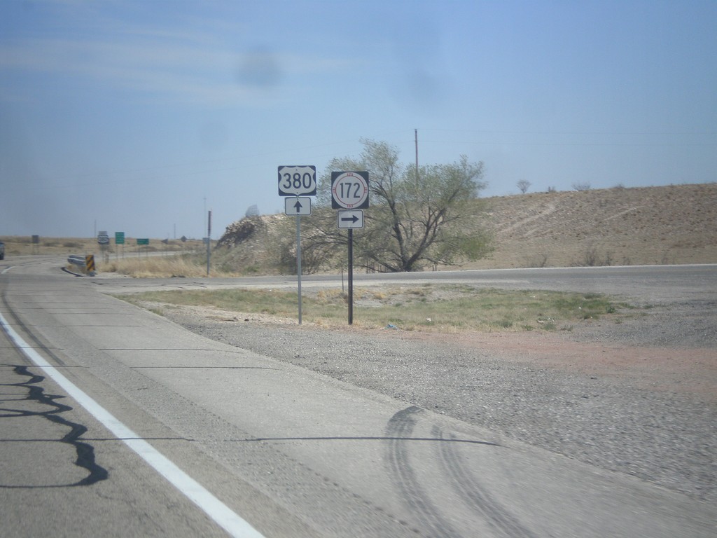
US-380 East at NM-172
US-380 east at NM-172 south.
Taken 04-14-2013
 Caprock
Chaves County
New Mexico
United States
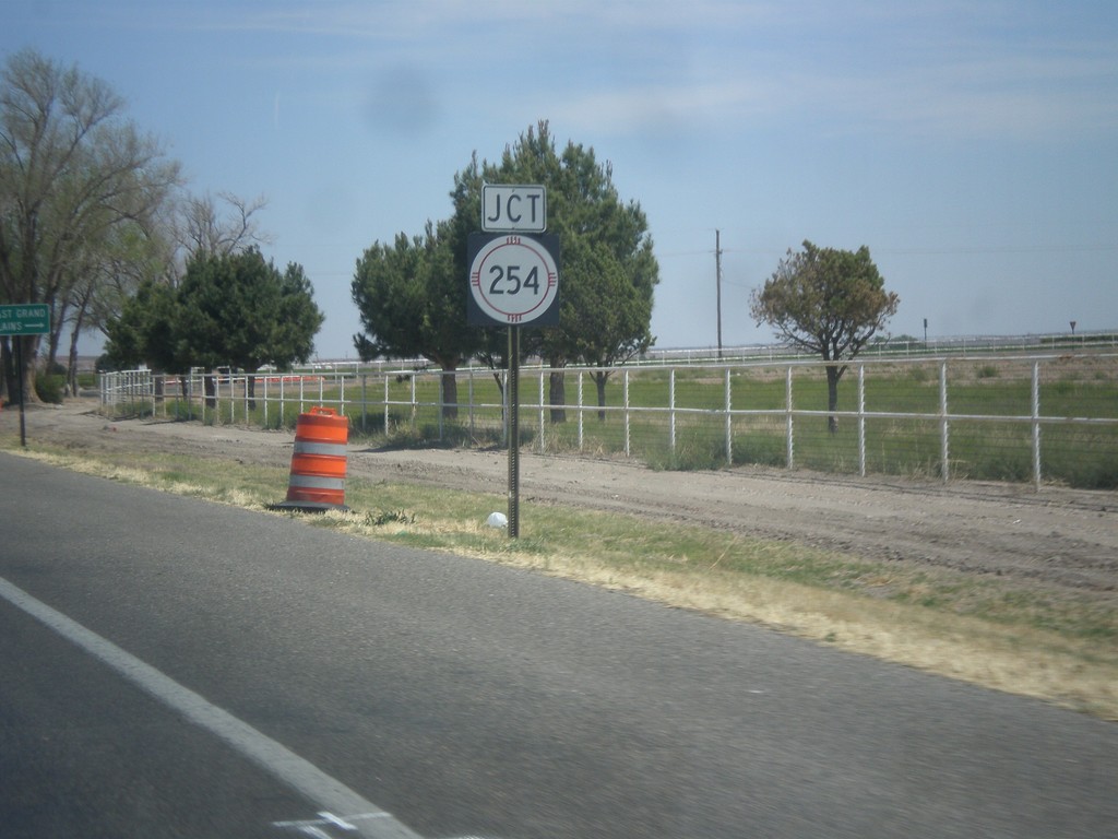
US-380 East - NM-254
US-380 east at NM-254 junction.
Taken 04-14-2013
 Roswell
Chaves County
New Mexico
United States
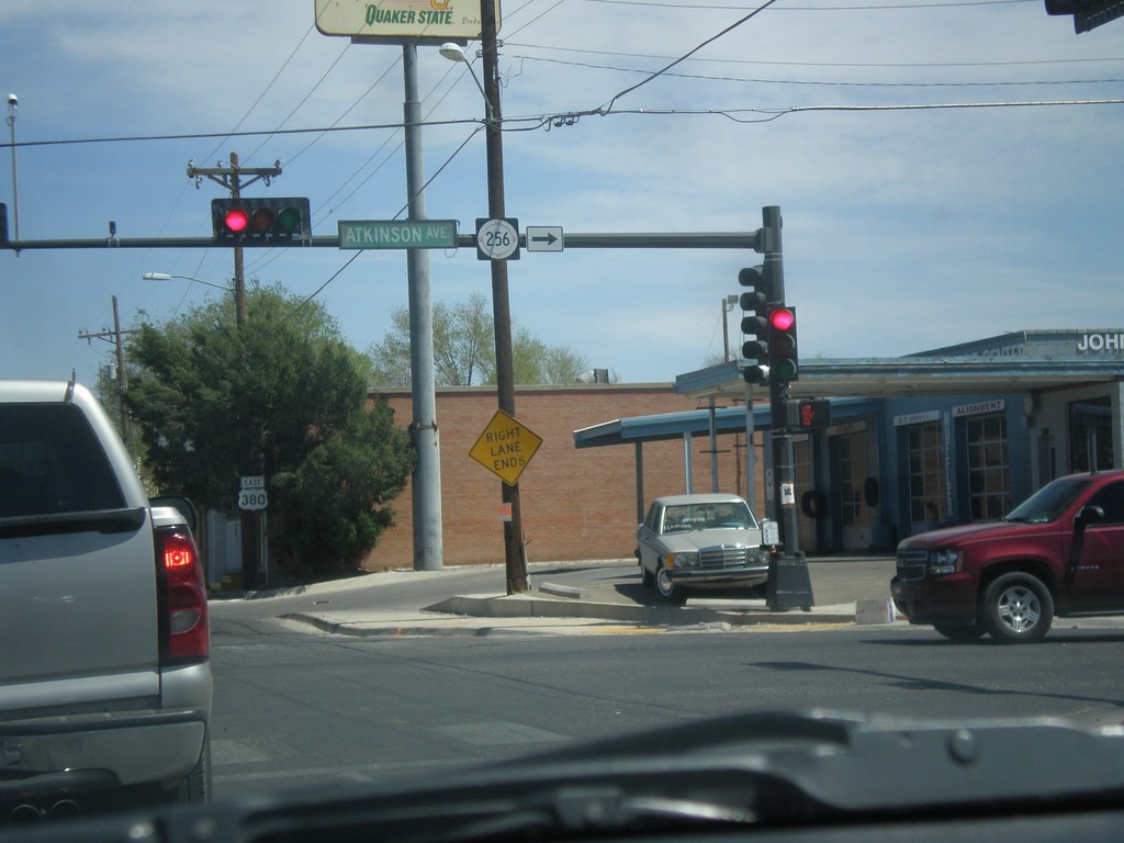
US-380 East at NM-256
US-380 east at NM-256 junction (Atkinson Ave.)
Taken 04-14-2013
 Roswell
Chaves County
New Mexico
United States
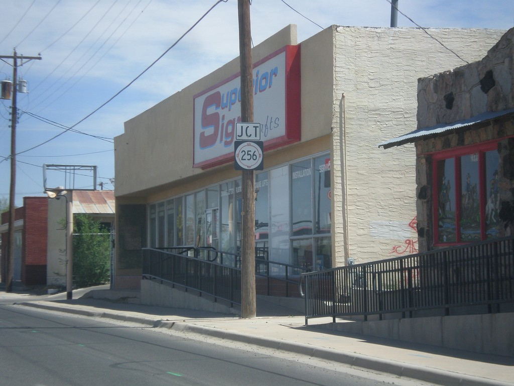
US-380 East Approaching NM-256
US-380 east approaching NM-256 junction.
Taken 04-14-2013
Roswell
Chaves County
New Mexico
United States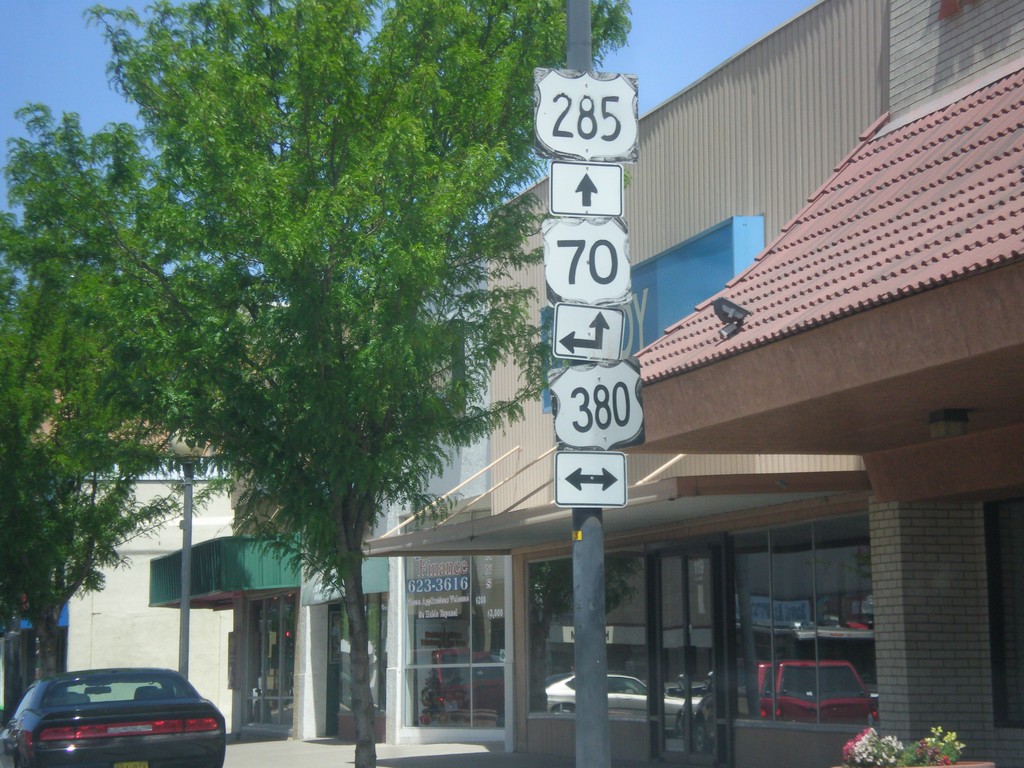
Main St. North at US-380
Main St. North at US-380 junction. US-70 used to run along US-380 and Main St. before the Relief Route was completed.
Taken 04-14-2013

 Roswell
Chaves County
New Mexico
United States
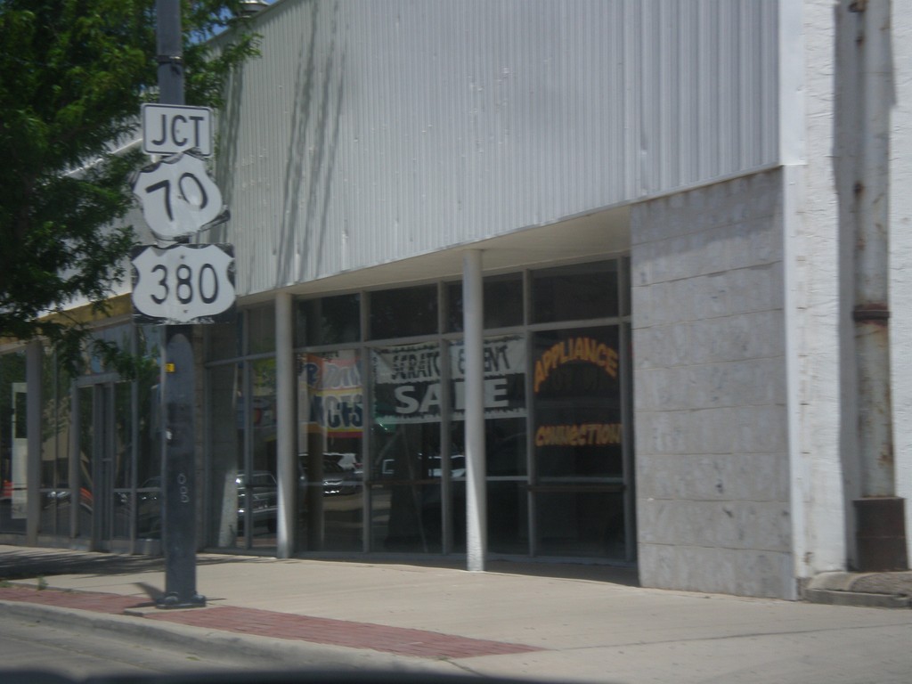
Main St. North at US-380
Main St. North at US-380 junction. US-70 used to run along US-380 through Roswell until the Roswell Relief Route was completed. Main St. was the former route of US-285, although there are still US-285 markers along Main St.
Taken 04-14-2013
Roswell
Chaves County
New Mexico
United States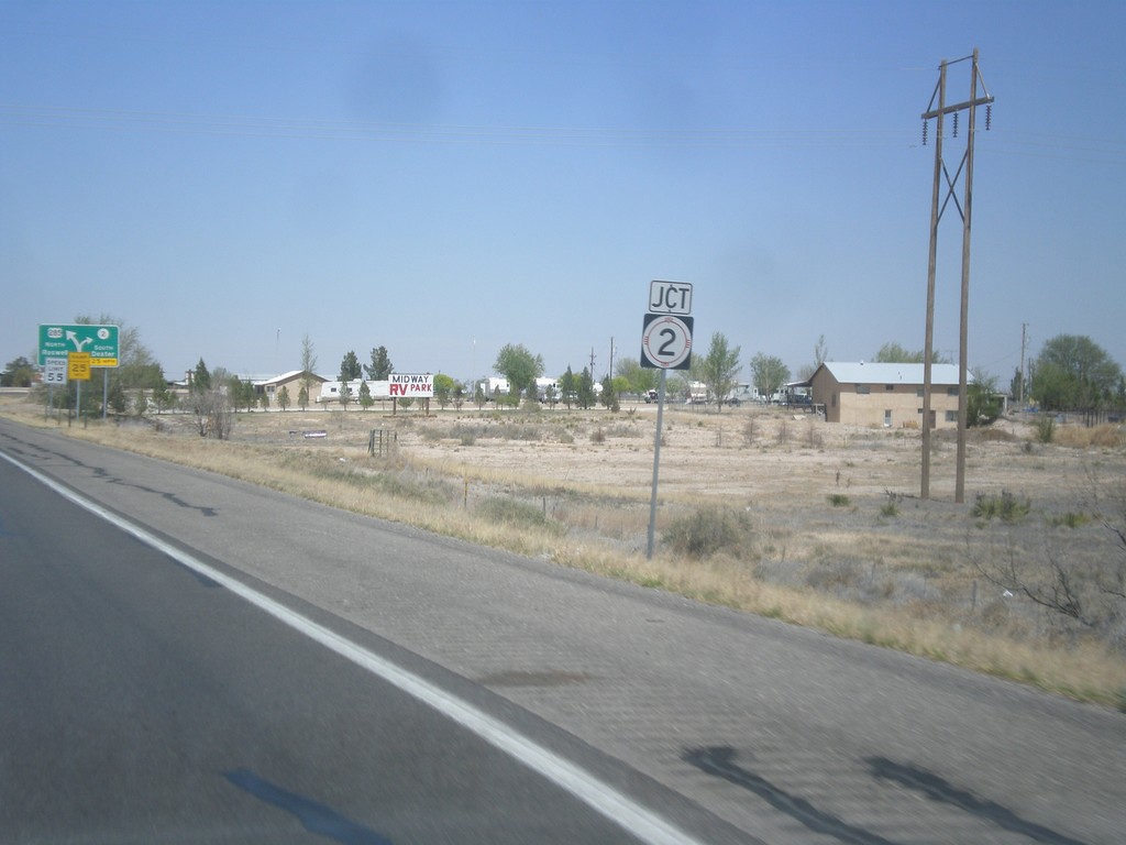
US-285 North at NM-2
US-285 north at NM-2 junction.
Taken 04-14-2013
 Dexter
Chaves County
New Mexico
United States
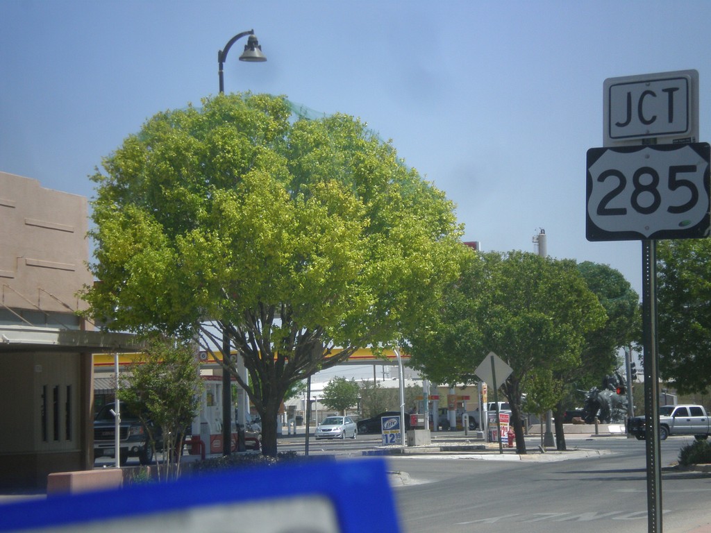
US-82 East Approaching US-285
US-82 east approaching US-285 junction in Artesia.
Taken 04-14-2013
Artesia
Eddy County
New Mexico
United States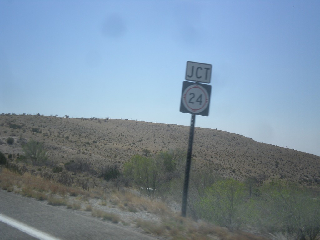
US-82 East Approaching NM-24
US-82 east approaching NM-24 junction, in rural Chaves County.
Taken 04-14-2013
 Mayhill
Chaves County
New Mexico
United States
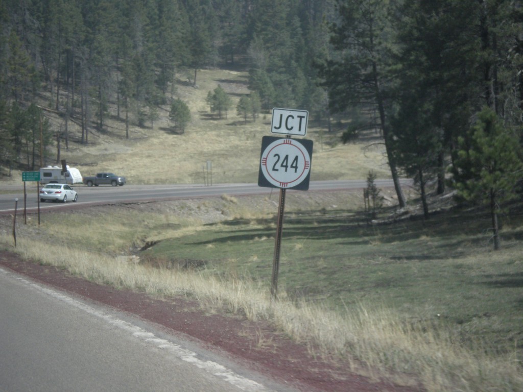
US-82 East Approaching NM-244
US-82 east approaching NM-244 junction.
Taken 04-14-2013
 Cloudcroft
Otero County
New Mexico
United States
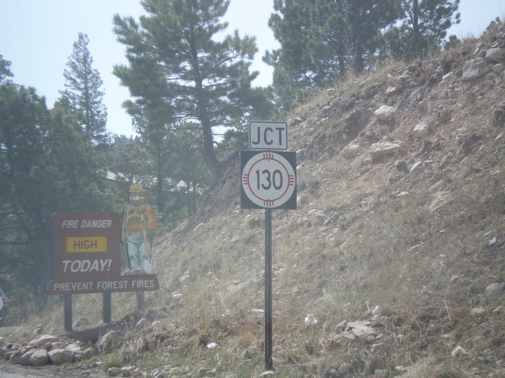
US-82 East at NM-130
US-82 east at NM-130 junction in Cloudcroft.
Taken 04-14-2013
 Mayhill
Otero County
New Mexico
United States
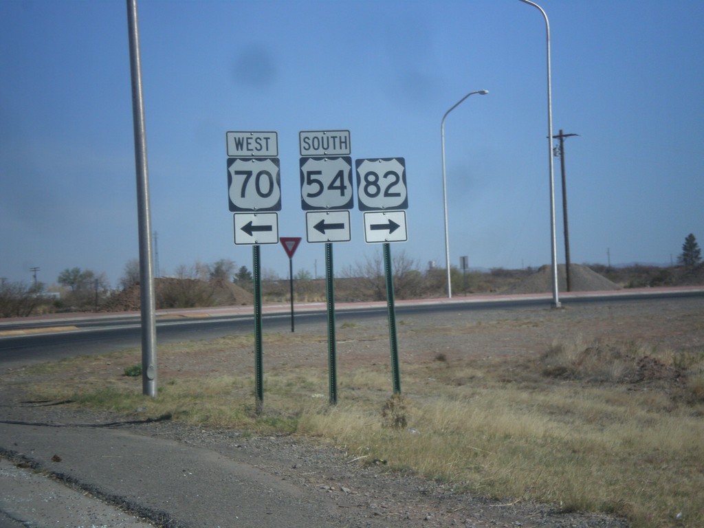
White Sands Blvd. North at US-54/US-70/US-82
White Sands Blvd. north at US-54/US-70/US-82 junction. Turn right for US-82 east; left for US-54 South/US-70 West; straight for US-54 North/US-70 East.
Taken 04-14-2013
 Alamogordo
Otero County
New Mexico
United States
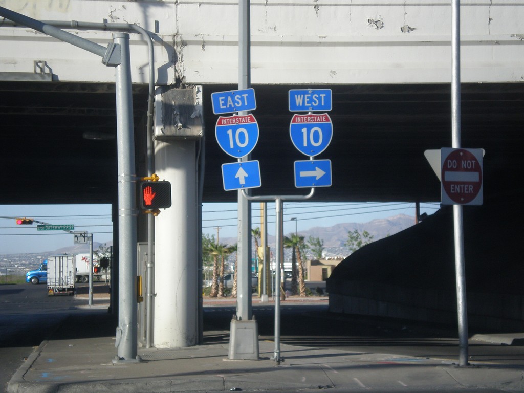
Airways Blvd. south at I-10
Airways Blvd. south at I-10 junction.
Taken 04-14-2013
 El Paso
 County
Texas
United States