Signs Tagged With Shield
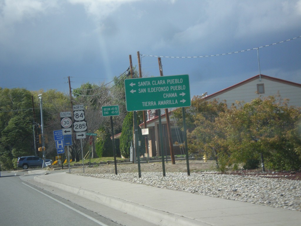
US-84 West/US-285 North Approaching NM-30
US-84 West/US-285 North approaching NM-30. Use NM-30 south for Santa Clara Pueblo, and San Ildefonso Pueblo. Continue on US-84 West/US-285 North for Chama and Tierra Amarilla.
Taken 10-12-2012


 Española
Rio Arriba County
New Mexico
United States
Española
Rio Arriba County
New Mexico
United States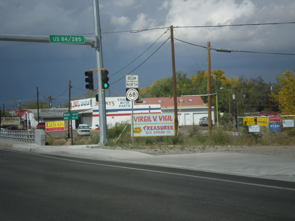
Begin NM-68 North
Begin NM-68 north in Espanola.
Taken 10-12-2012
 Española
Rio Arriba County
New Mexico
United States
Española
Rio Arriba County
New Mexico
United States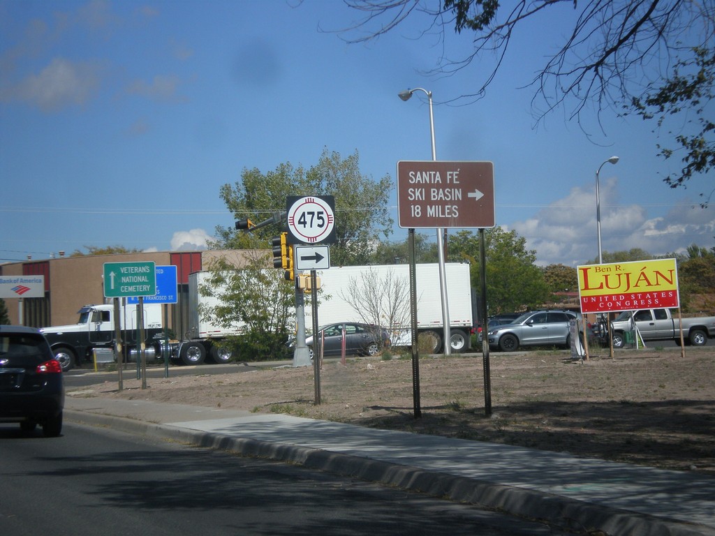
US-84 West/US-285 North at NM-475
US-84 West/US-285 North at NM-475 (Paseo de Peralta). Turn right on NM-475 for Santa Fe Ski Basin.
Taken 10-12-2012
 Santa Fe
 County
New Mexico
United States
Santa Fe
Santa Fe County
New Mexico
United States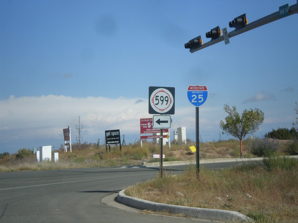
NM-14 North at NM-599
NM-14 north at NM-599. Use NM-599 for I-25. Northbound I-25 traffic can continue north on NM-14, although NM-599 is a shortcut to the freeway. This is the southern end of the Santa Fe Relief Route.
Taken 10-12-2012


 Santa Fe
 County
New Mexico
United States
Santa Fe
Santa Fe County
New Mexico
United States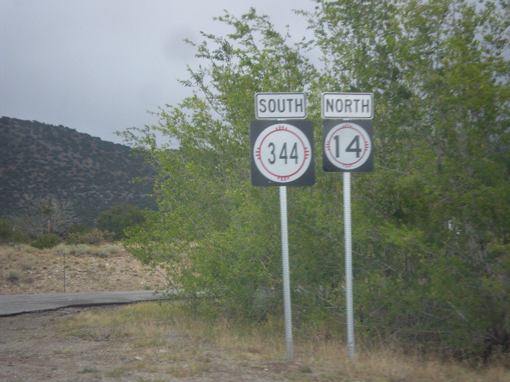
NM-14 North at NM-344
NM-14 north at NM-344. The arrows are missing from these signs. Turn right for NM-344 south; straight for NM-14 north.
Taken 10-12-2012
 Sandia Park
Santa Fe County
New Mexico
United States
Sandia Park
Santa Fe County
New Mexico
United States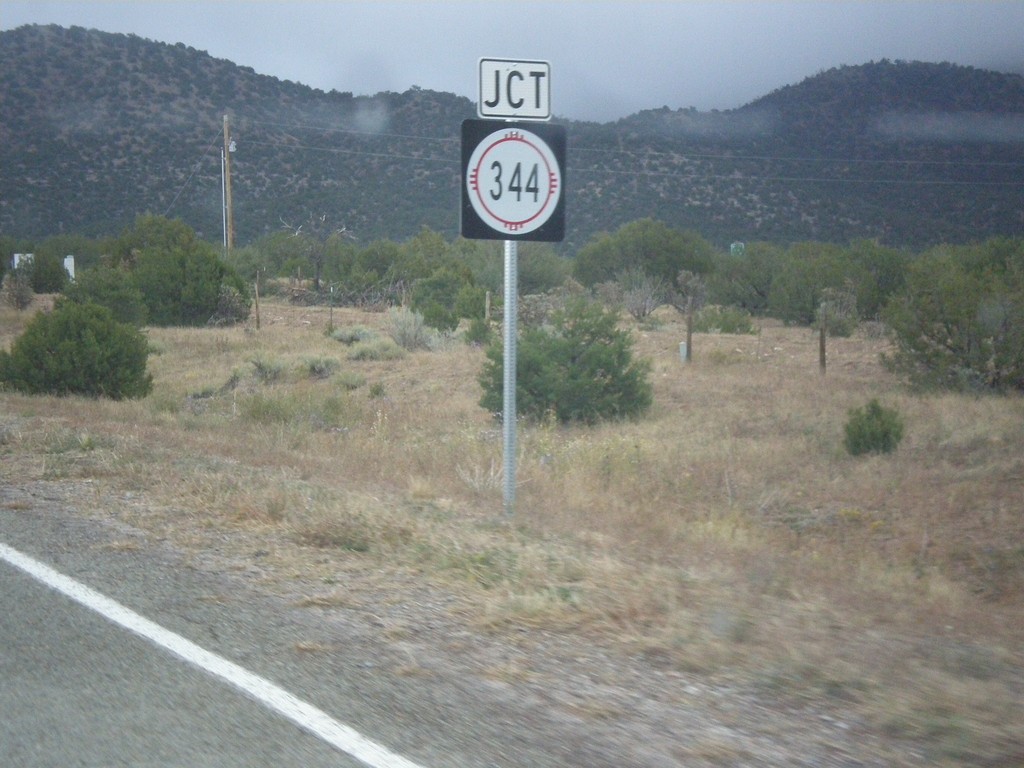
NM-14 North Approaching NM-344
NM-14 North approaching NM-344 along the Turquoise Trail.
Taken 10-12-2012
Los Cerrillos
Santa Fe County
New Mexico
United States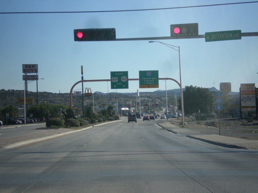
US-491 South Approaching I-40/NM-602
US-491 south approaching I-40 to Albuquerque and Flagstaff (Arizona). US-491 ends at I-40, and turns into NM-602 towards Zuni.
Taken 10-10-2012


 Gallup
McKinley County
New Mexico
United States
Gallup
McKinley County
New Mexico
United States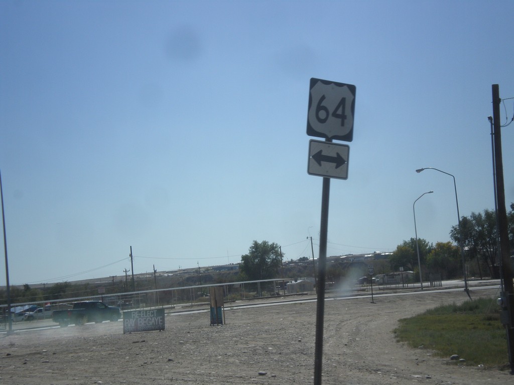
US-491 South at US-64
US-491 south at US-64. US-491 south joins US-64 through Shiprock.
Taken 10-10-2012
 Shiprock
San Juan County
New Mexico
United States
Shiprock
San Juan County
New Mexico
United States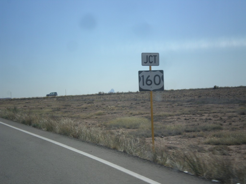
End CO-41 At US-160
End CO-41 at US-160 in Montezuma County.
Taken 10-10-2012

 Montezuma County
Colorado
United States
Montezuma County
Colorado
United States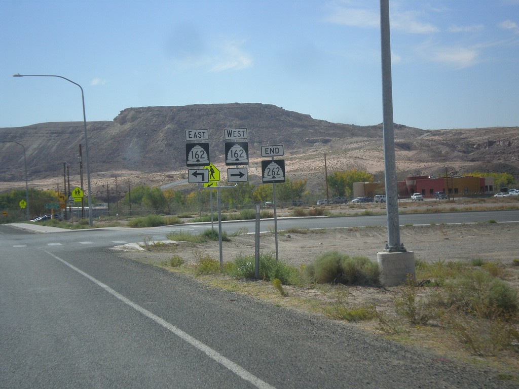
End UT-262 at UT-162
End UT-262 at UT-162. Turn right for UT-162 west; continue ahead for UT-162 east.
Taken 10-10-2012

 Montezuma Creek
San Juan County
Utah
United States
Montezuma Creek
San Juan County
Utah
United States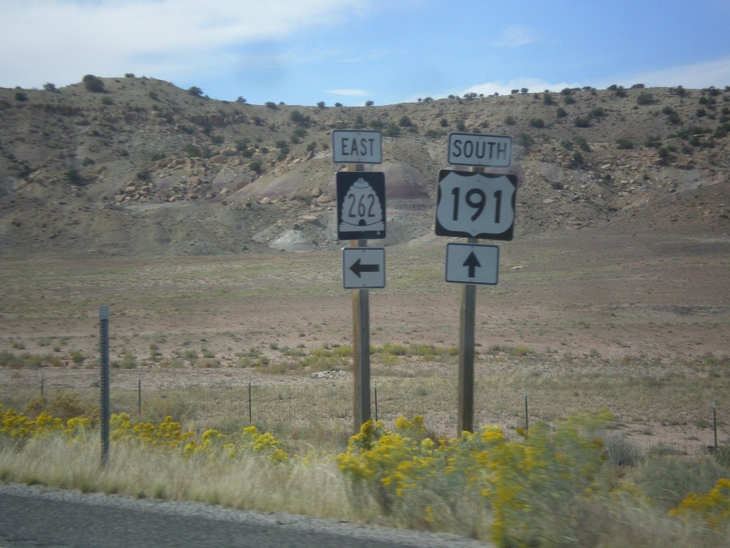
US-191 South at UT-262
UT-191 south at UT-262 east.
Taken 10-10-2012
 White Mesa
San Juan County
Utah
United States
White Mesa
San Juan County
Utah
United States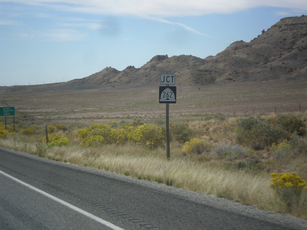
US-191 South Approaching UT-262
US-191 south approaching UT-262 junction.
Taken 10-10-2012
White Mesa
San Juan County
Utah
United States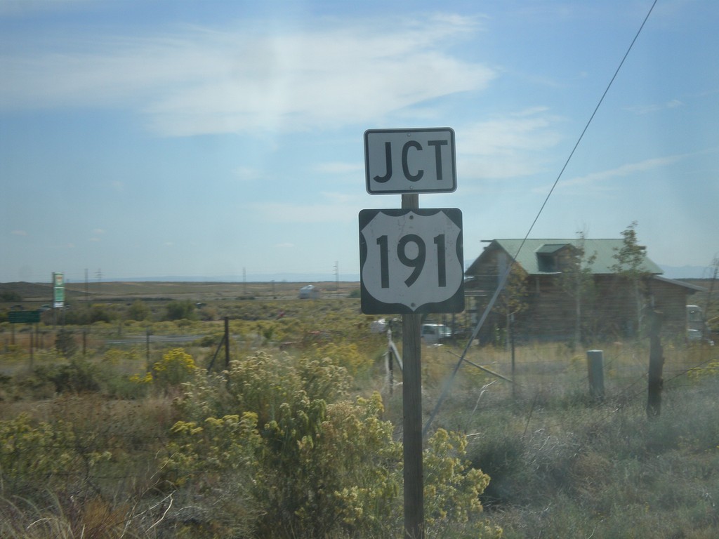
End UT-95 Approaching US-191
End UT-95 approaching US-191 in San Juan County.
Taken 10-10-2012
 Blanding
San Juan County
Utah
United States
Blanding
San Juan County
Utah
United States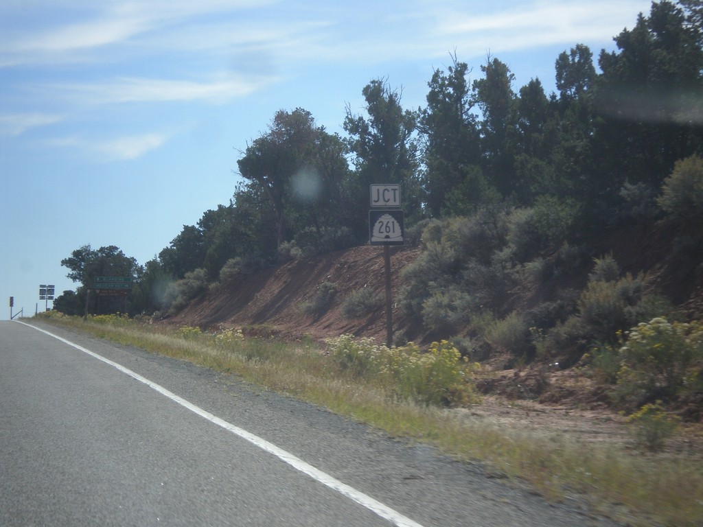
UT-95 East Approaching UT-261
UT-95 East approaching UT-261 junction.
Taken 10-10-2012
 Lake Powell
San Juan County
Utah
United States
Lake Powell
San Juan County
Utah
United States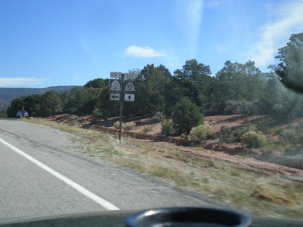
UT-95 East at UT-275
UT-95 east at UT-275 north to Natural Bridges National Monument.
Taken 10-10-2012
 Lake Powell
San Juan County
Utah
United States
Lake Powell
San Juan County
Utah
United States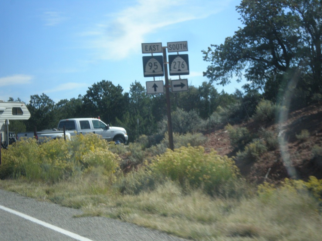
UT-95 East at UT-276
UT-95 east at UT-276 junction.
Taken 10-10-2012
 Lake Powell
San Juan County
Utah
United States
Lake Powell
San Juan County
Utah
United States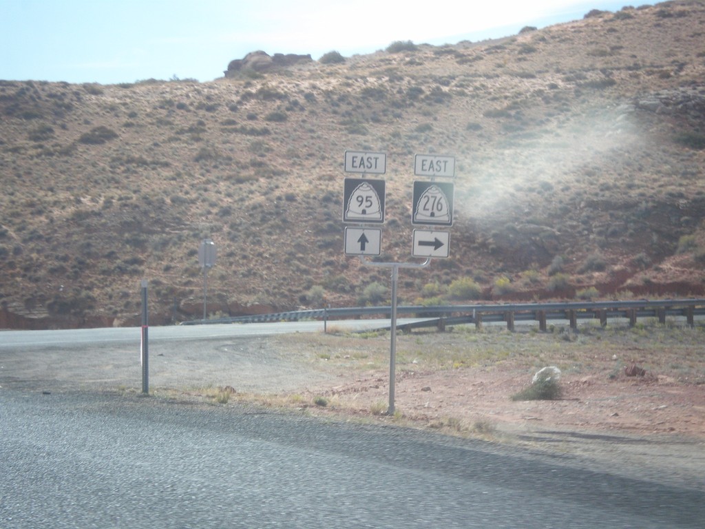
UT-95 East at UT-276
UT-95 east at UT-276 junction.
Taken 10-10-2012
Lake Powell
Garfield County
Utah
United States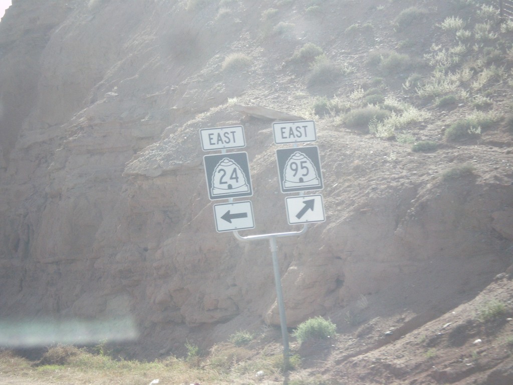
UT-24 East at UT-95
UT-24 east at UT-95 in Hanksville.
Taken 10-10-2012
 Hanksville
Wayne County
Utah
United States
Hanksville
Wayne County
Utah
United States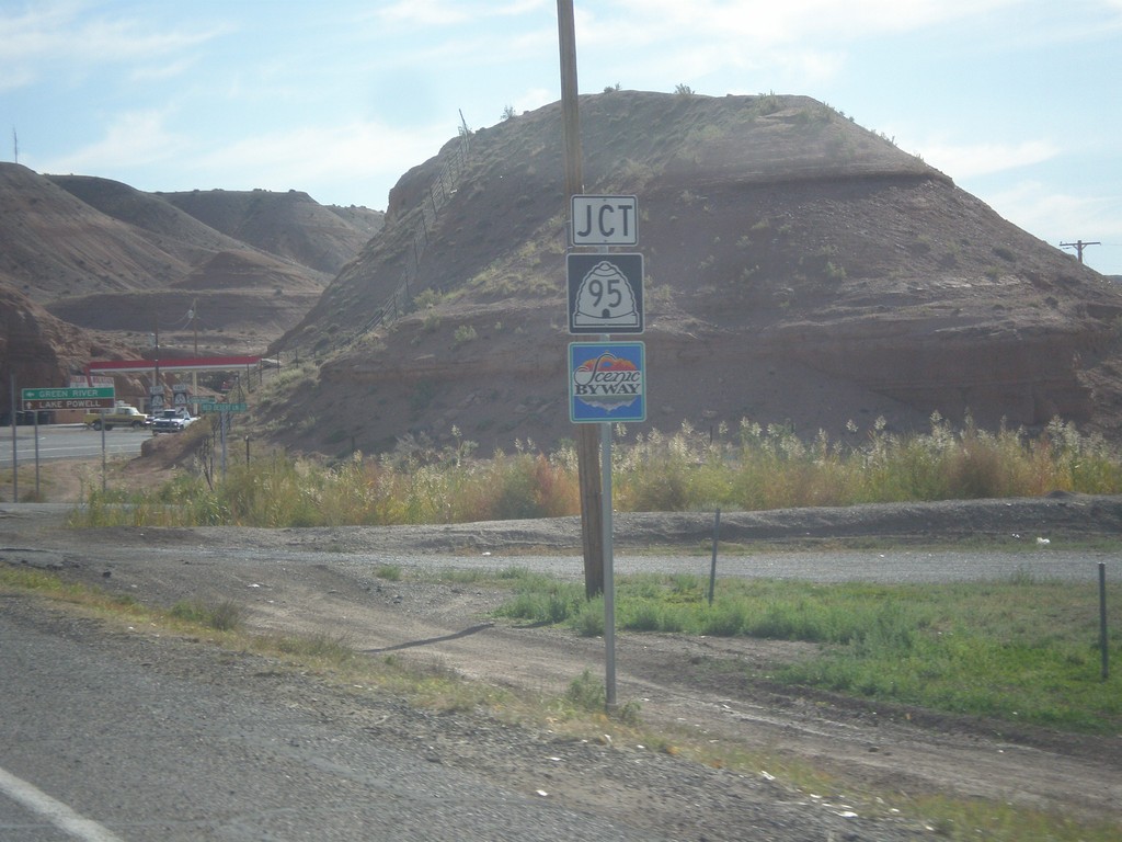
UT-24 East at UT-95
UT-24 east approaching UT-95 in Hanksville. UT-95 is a Utah Scenic Byway.
Taken 10-10-2012
Hanksville
Wayne County
Utah
United States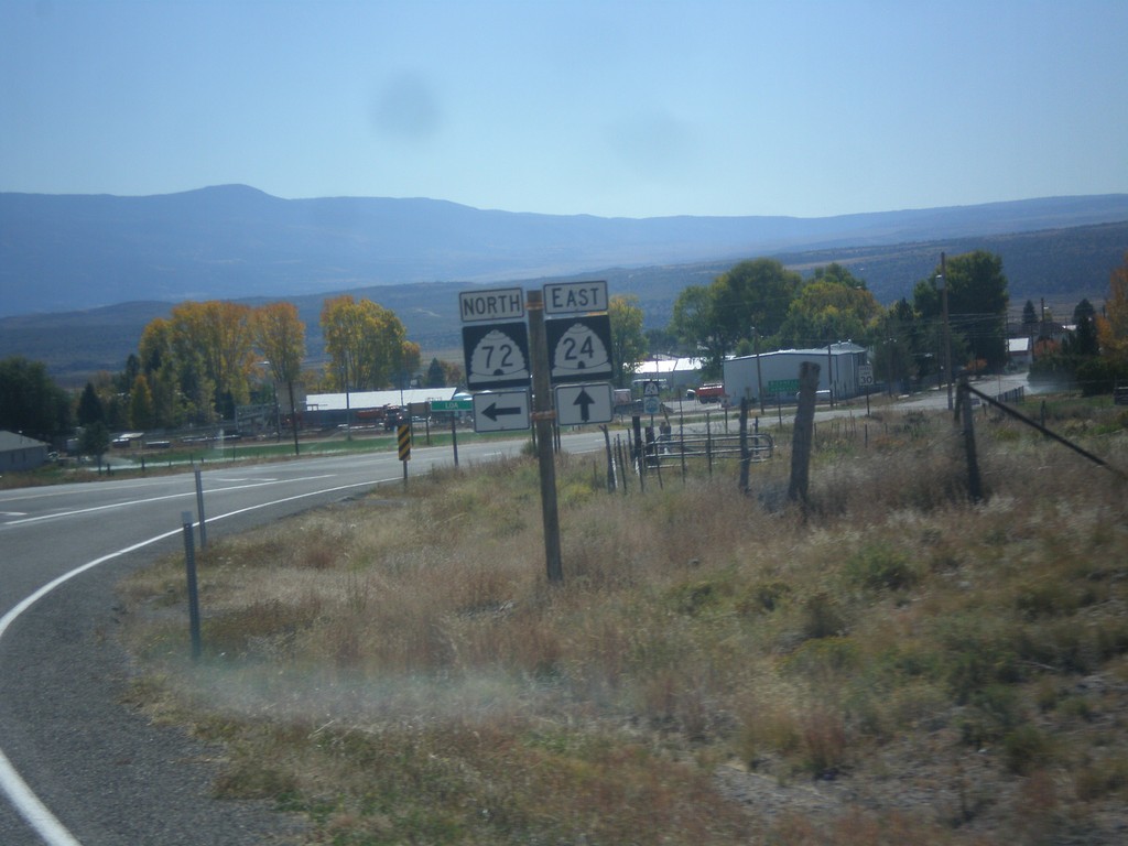
UT-24 East at UT-72 North
UT-24 East at UT-72 North in Loa.
Taken 10-07-2012
 Loa
Wayne County
Utah
United States
Loa
Wayne County
Utah
United States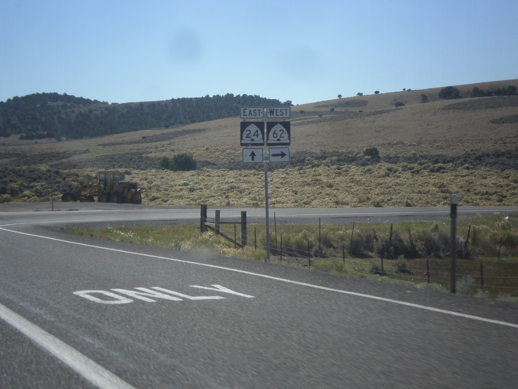
UT-24 East at UT-62
UT-24 East at UT-62 West.
Taken 10-07-2012
 Richfield
Sevier County
Utah
United States
Richfield
Sevier County
Utah
United States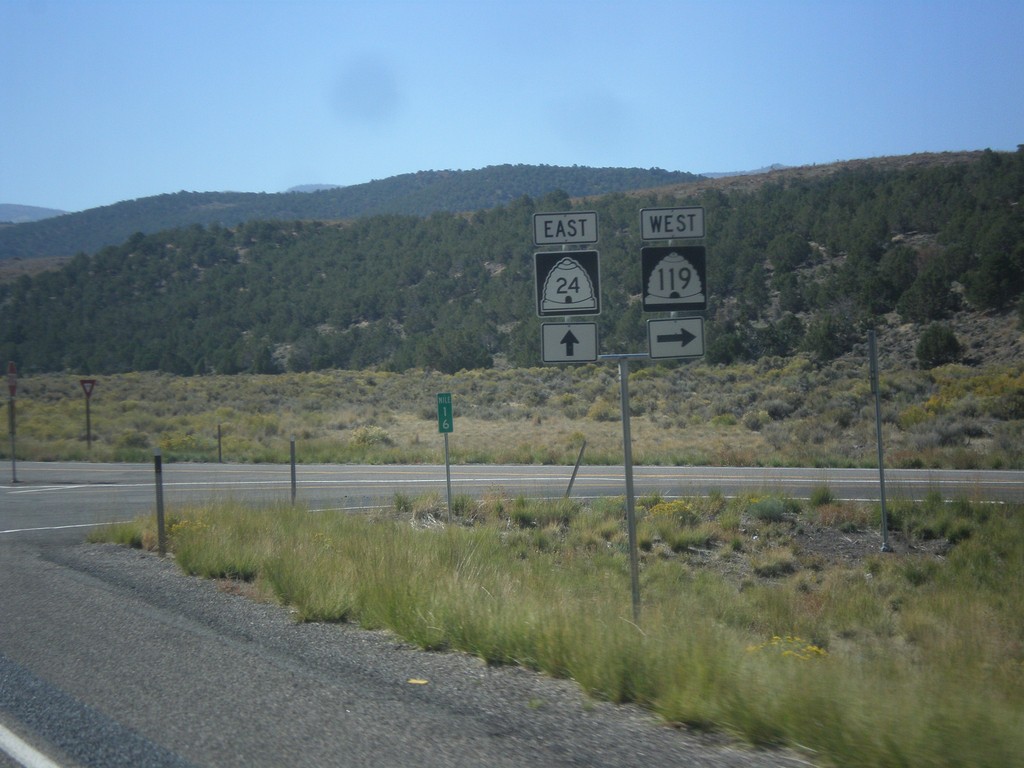
UT-24 East at UT-119
UT-24 east at UT-119 west.
Taken 10-07-2012
 Richfield
Sevier County
Utah
United States
Richfield
Sevier County
Utah
United States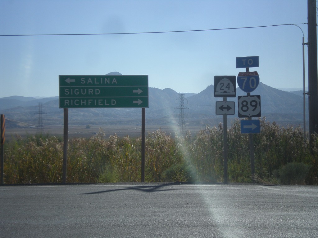
End UT-260 at UT-24
End UT-260 at UT-24. Turn right on UT-24 east for Sigurd and Richfield, and for access to I-70 and US-89. Turn left on UT-24 for Salina.
Taken 10-07-2012


 Aurora
Sevier County
Utah
United States
Aurora
Sevier County
Utah
United States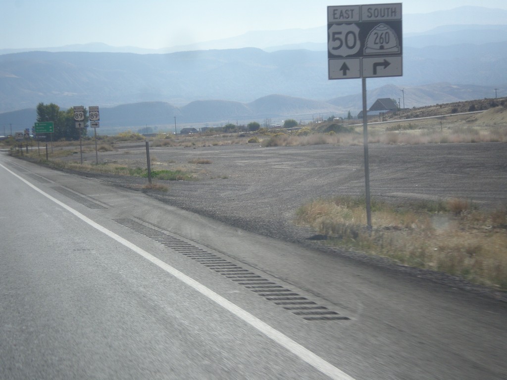
US-50 East Approaching UT-260
US-50 east approaching UT-260 south.
Taken 10-07-2012
 Aurora
Sevier County
Utah
United States
Aurora
Sevier County
Utah
United States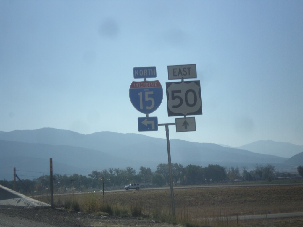
US-50 East at I-15 North
US-50 east at I-15 north. Notice the word UTAH in the I-15 shield. On this trip I noticed the word UTAH in signs in the Provo area, in addition to this shield. Before this I have never seen a Utah interstate shield containing the state name.
Taken 10-07-2012
 Scipio
Millard County
Utah
United States
Scipio
Millard County
Utah
United States