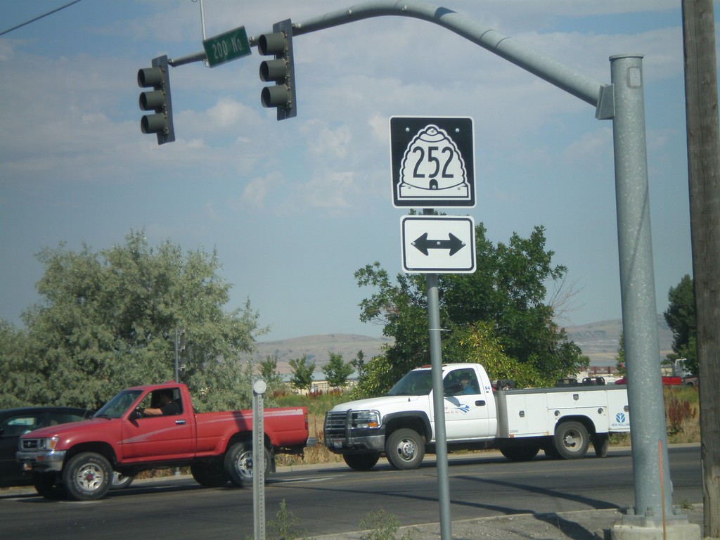
Signs Tagged With Shield
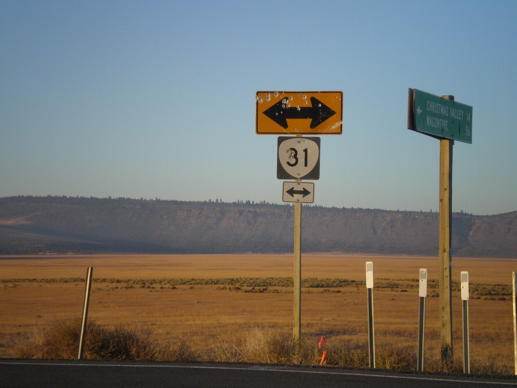
Christmas Valley-Wagontire Road at OR-31
Christmas Valley-Wagontire Road at OR-31.
Taken 09-25-2010
 Silver Lake
Lake County
Oregon
United States
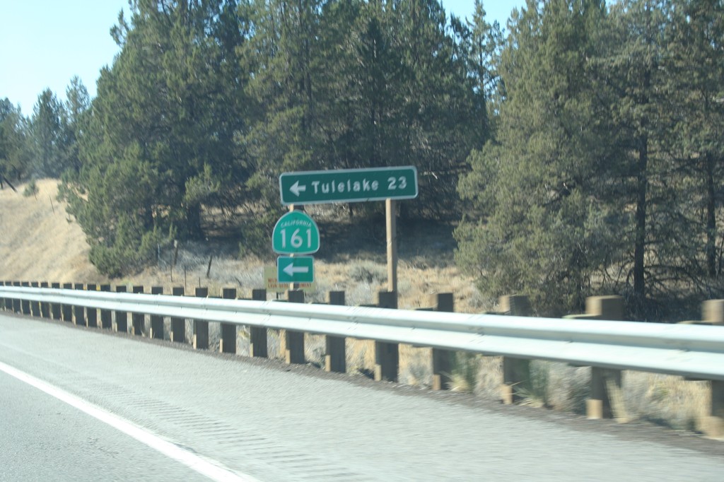
US-97 South at CA-161
US-97 south at CA-161 east to Tulelake. Tulelake is 23 miles east of here.
Taken 09-25-2010

 Dorris
Siskiyou County
California
United States
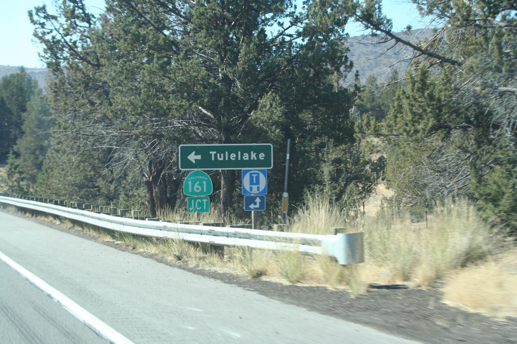
US-97 South Approaching CA-161
US-97 south approaching CA-161 east to Tulelake. CA-161 parallels the Oregon-California border east across the Klamath Basin.
Taken 09-25-2010

 Dorris
Siskiyou County
California
United States
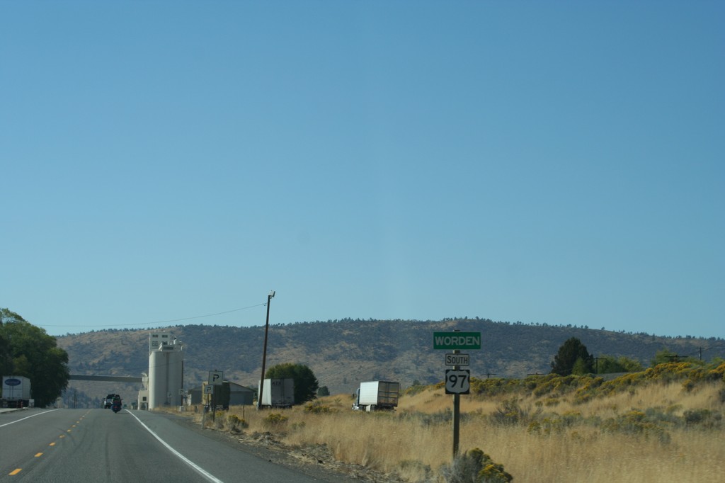
US-97 South - Worden
Entering the community of Worden on US-97 south.
Taken 09-25-2010
 Klamath Falls
Klamath County
Oregon
United States
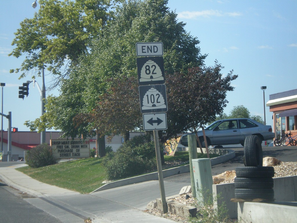
End UT-82 South at UT-102
End UT-82 south at UT-102 in downtown Tremonton.
Taken 08-02-2010

 Tremonton
Box Elder County
Utah
United States
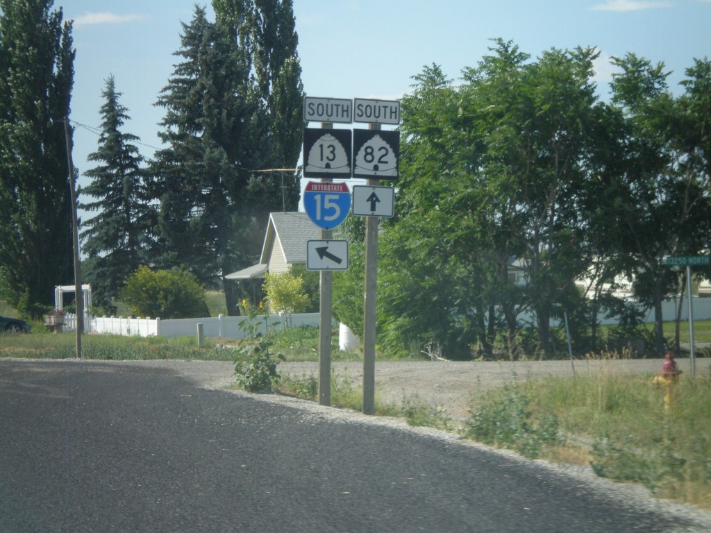
UT-13 South at UT-82
UT-13 south at UT-82. I-15 traffic should continue on UT-13 to avoid the city of Garland.
Taken 08-02-2010


 Garland
Box Elder County
Utah
United States
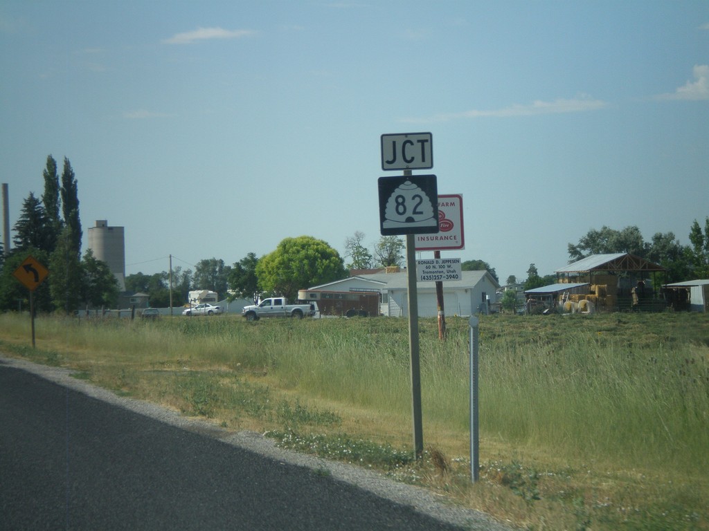
UT-13 South Approaching UT-82
UT-13 south approaching UT-82
Taken 08-02-2010

 Garland
Box Elder County
Utah
United States
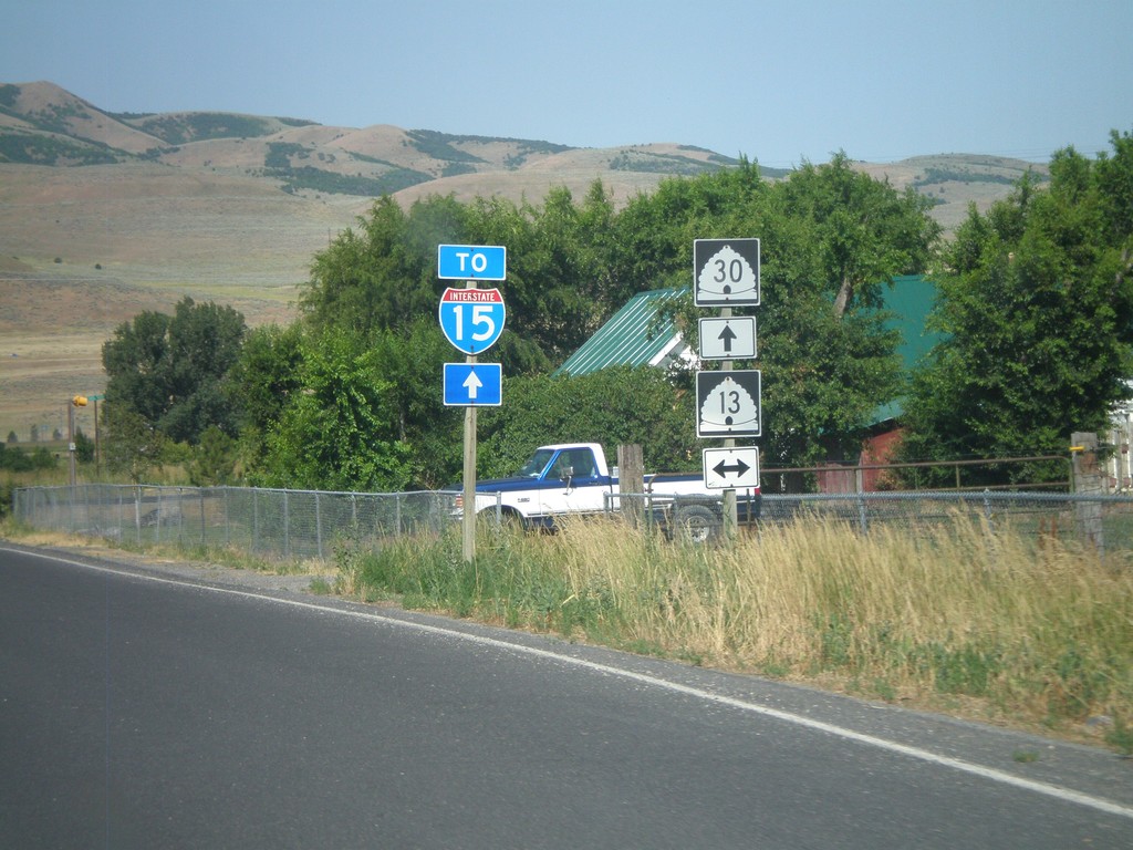
UT-30 West at UT-13
UT-30 west at UT-13. Continue west on UT-30 for I-15.
Taken 08-02-2010


 Riverside
Box Elder County
Utah
United States
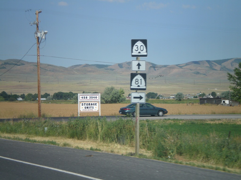
UT-30 West At UT-81 North
UT-30 west at UT-81 north
Taken 08-02-2010

 Garland
Box Elder County
Utah
United States
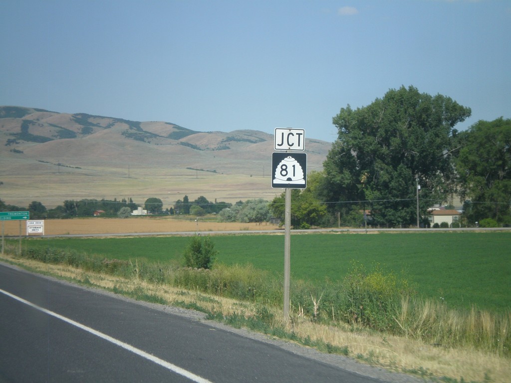
UT-30 West Approaching UT-81
UT-30 west approaching UT-81
Taken 08-02-2010

 Garland
Box Elder County
Utah
United States
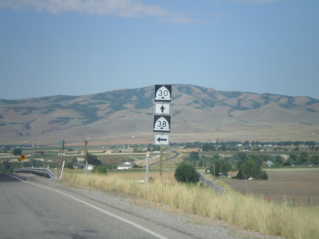
UT-30 West At UT-38
UT-30 west at UT-38
Taken 08-02-2010

 Collinston
Box Elder County
Utah
United States
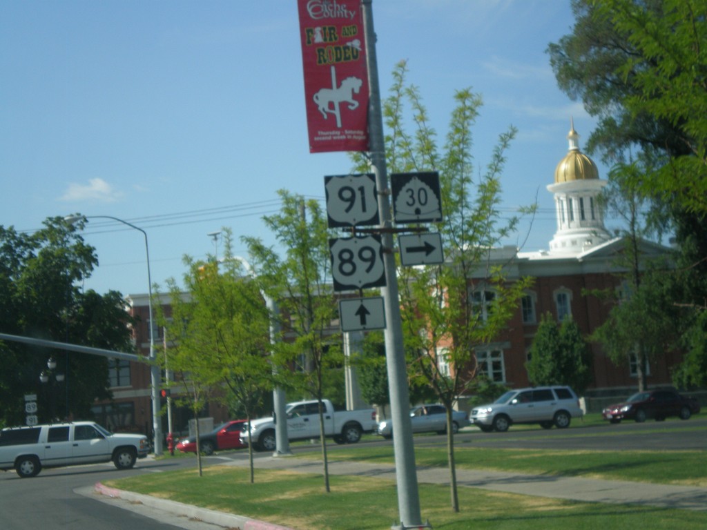
US-89/US-91 South at UT-30 West
US-89/US-91 south at UT-30 west in downtown Logan.
Taken 08-02-2010


 Logan
Cache County
Utah
United States
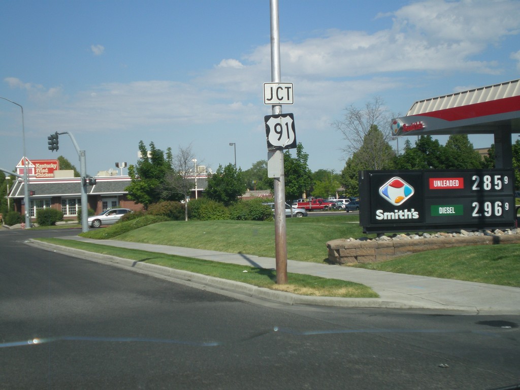
US-89 South Approaching US-91
US-89 south approaching US-91 in Logan.
Taken 08-02-2010

 Logan
Cache County
Utah
United States
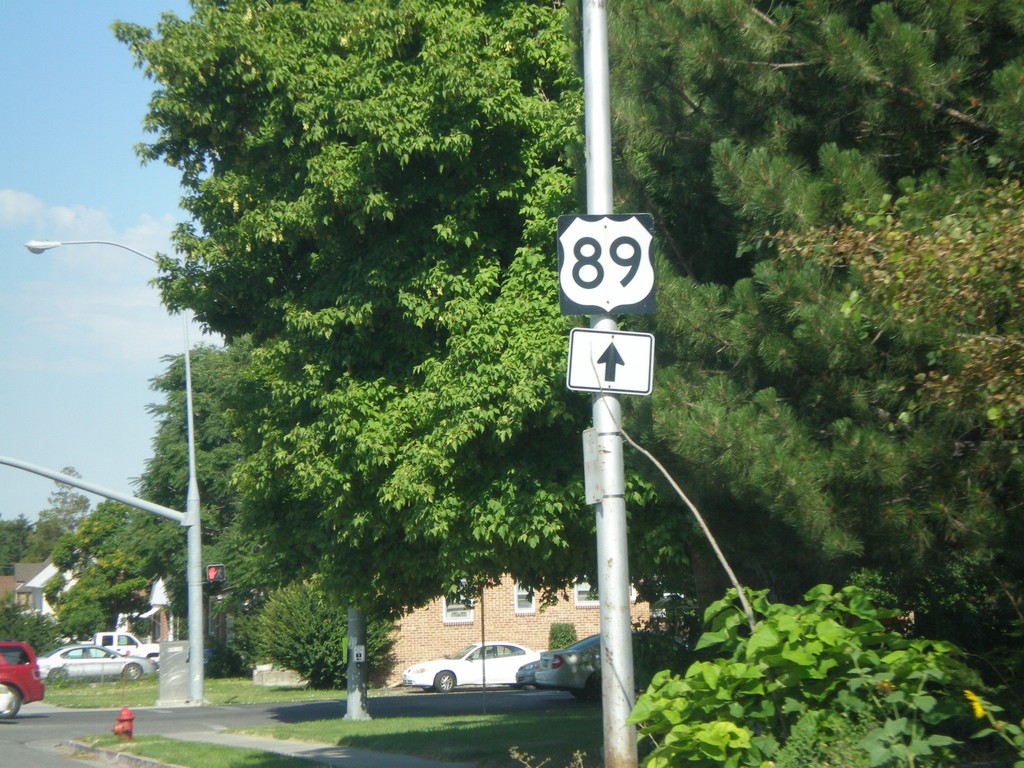
US-89 in Logan
US-89 in Logan approaching North 600 East
Taken 08-02-2010
 Logan
Cache County
Utah
United States
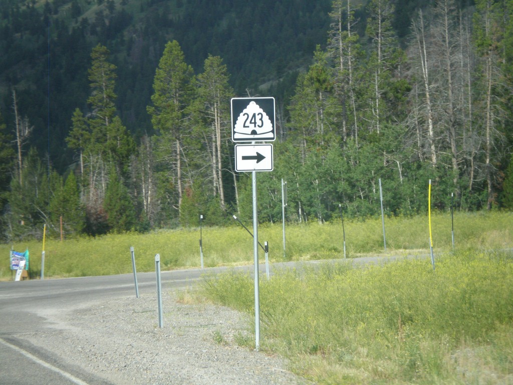
US-89 South at UT-243
US-89 south in Logan Canyon at UT-243
Taken 08-02-2010

 Garden
Rich County
Utah
United States
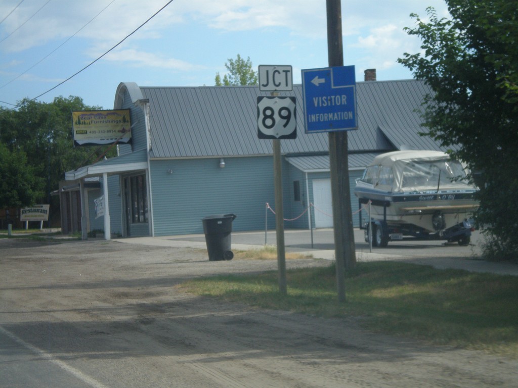
UT-30 West Approaching US-89
UT-30 west approaching US-89. This is located just south of the Idaho border on the west side of Bear Lake.
Taken 08-02-2010

 Garden City
Rich County
Utah
United States
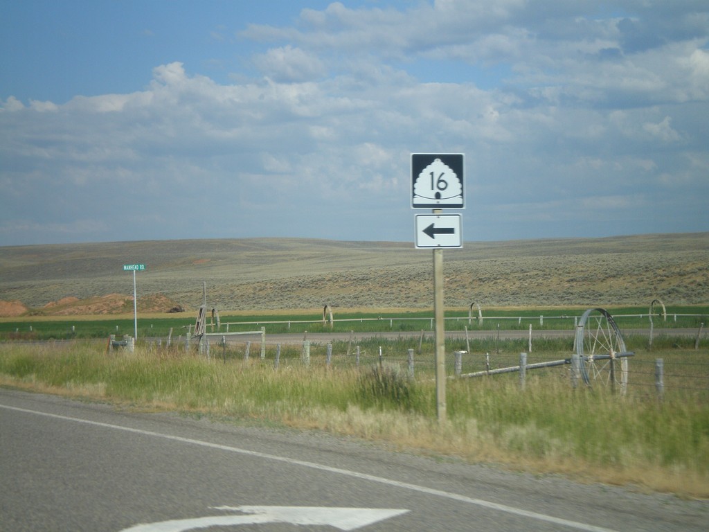
UT-30 West at UT-16 South
UT-30 west at UT-16 south.
Taken 08-02-2010

 Randolph
Rich County
Utah
United States
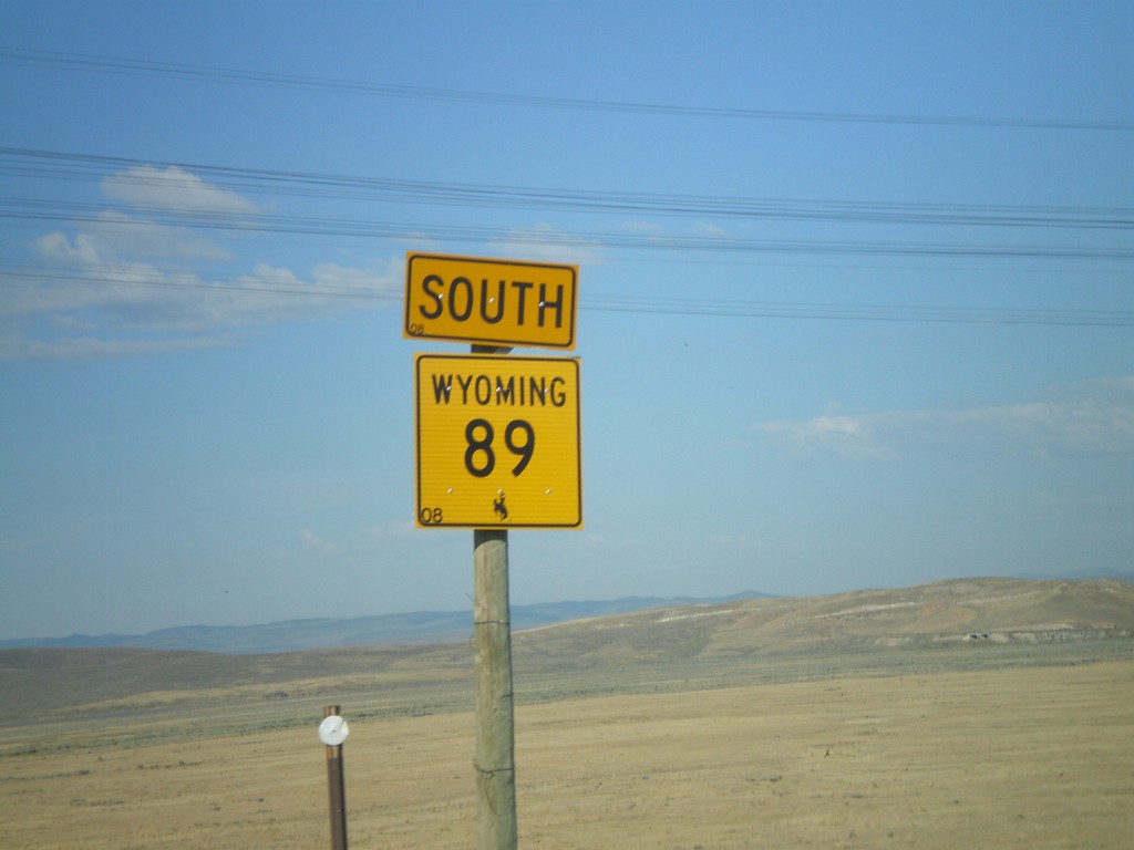
WY-89 South
WY-89 south, taken just south of the US-30 junction.
Taken 08-02-2010
 Kemmerer
Lincoln County
Wyoming
United States
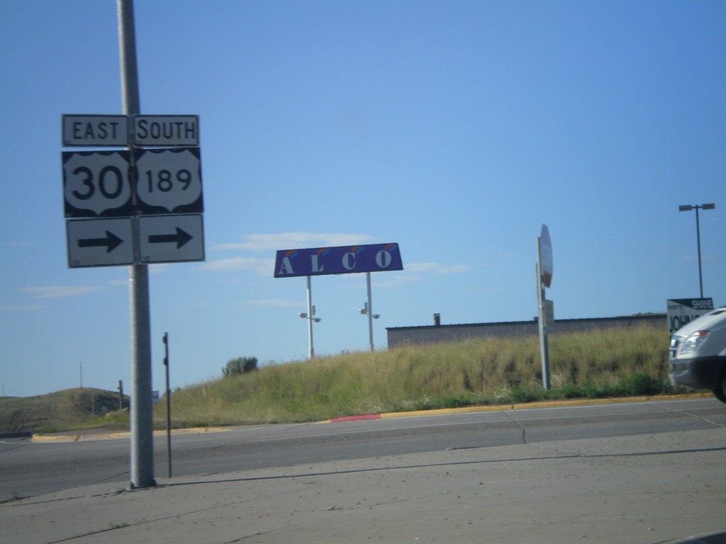
US-30 East/US-189 South - Diamondville
US-30 East/US-189 south in Diamondville. US-30 East/US-189 south turn right onto Lincoln St.
Taken 08-02-2010

 Diamondville
Lincoln County
Wyoming
United States
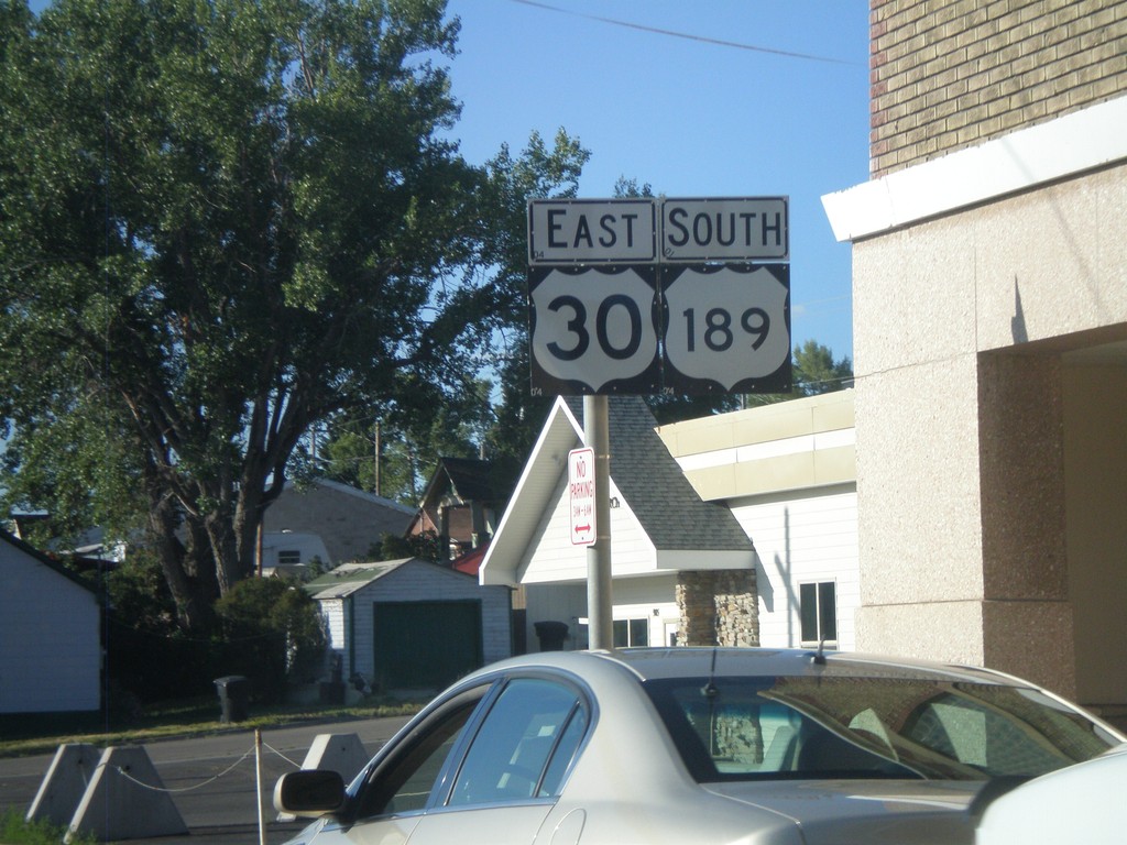
US-30 East/US-189 South
US-30 East/US-189 South in Kemmerer
Taken 08-02-2010

 Kemmerer
Lincoln County
Wyoming
United States
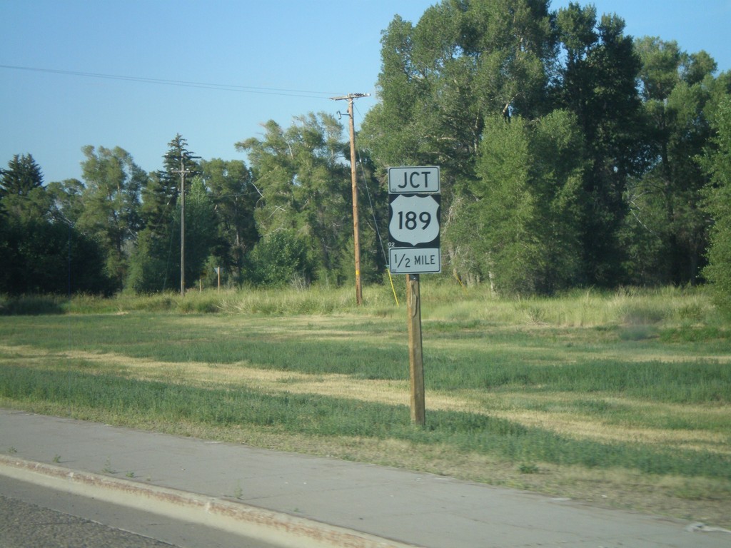
WY-233 South Approaching US-189
WY-233 south approaching US-189
Taken 08-02-2010

 Kemmerer
Lincoln County
Wyoming
United States
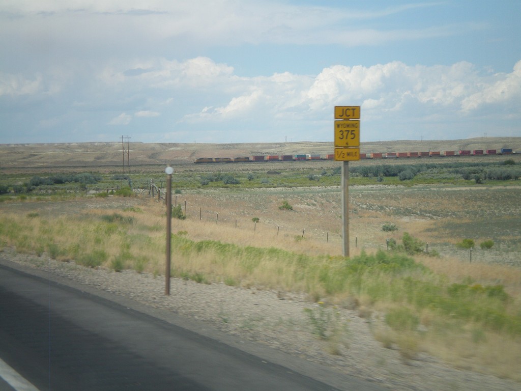
US-30 West Approaching WY-235
US-30 west approaching WY-235.
Taken 08-01-2010

 Granger
Sweetwater County
Wyoming
United States
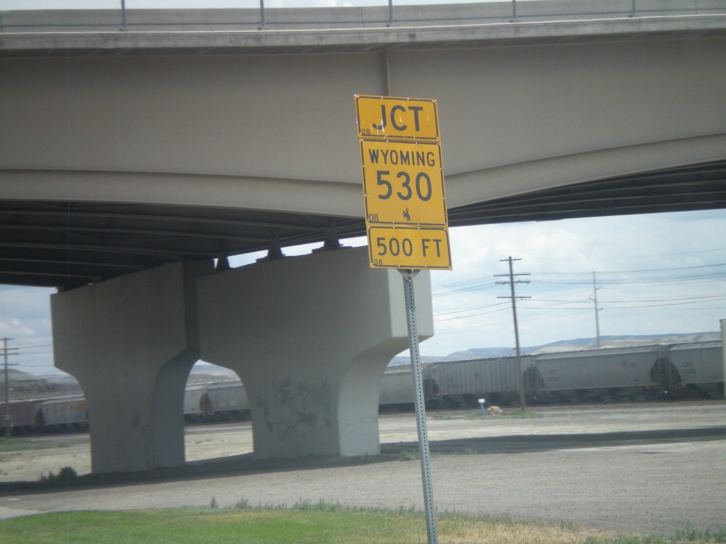
BL-80/Bus. US-30 East Approaching WY-530
BL-80/Bus. US-30 East approaching WY-530.
Taken 08-01-2010


 Green River
Sweetwater County
Wyoming
United States
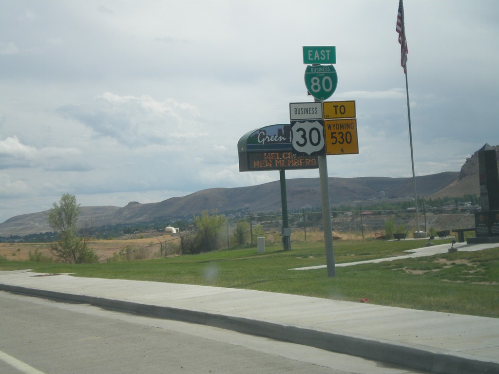
BL-80 East/Bus. US-30 East/To WY-530
BL-80 East/Bus. US-30 East/To WY-530 on W. Flaming Gorge Way in Green River.
Taken 08-01-2010


 Green River
Sweetwater County
Wyoming
United States