Signs Tagged With Shield
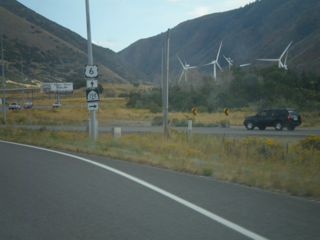
US-6 East at UT-198
US-6 East at UT-198. The windmills in the background are part of the Spanish Fork Wind Project.
Taken 10-01-2011

 Spanish Fork
Utah County
Utah
United States
Spanish Fork
Utah County
Utah
United States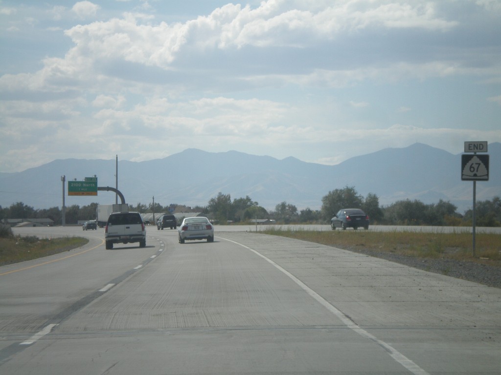
End UT-67 South
End UT-67 south at I-215. There are no ramps for UT-67 south to I-215, just a left merge lane.
Taken 10-01-2011

 North Salt Lake
Davis County
Utah
United States
North Salt Lake
Davis County
Utah
United States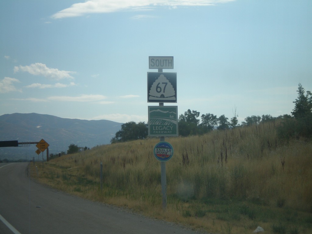
UT-67 South - Legacy Parkway
UT-67 south with Legacy Parkway sign and Utah Scenic Byway Sign. Legacy Parkway parallels I-15 south between Farmington and Salt Lake City. It is designated as a scenic byway, and runs along the edge of the Great Salt Lake. Although the highway is an urban freeway, the speed limit is 55 MPH.
Taken 10-01-2011
Farmington
Davis County
Utah
United States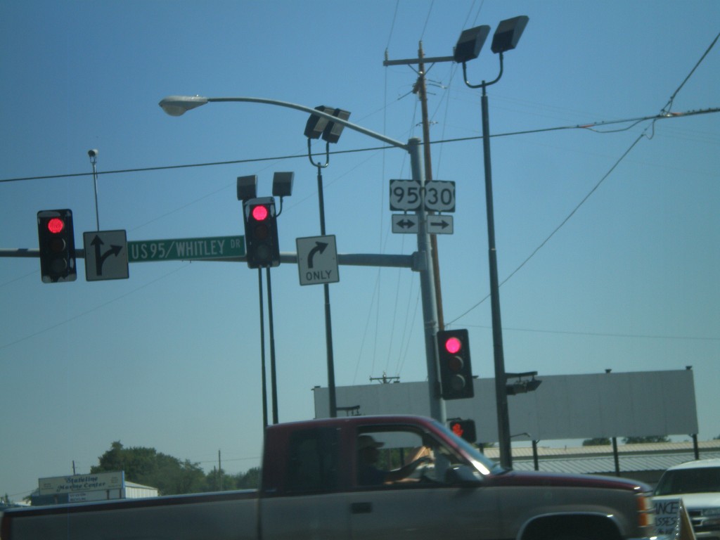
US-30 East At US-95
US-30 East at US-95. Turn right for US-30 East/US-95 South; left for US-95 North. US-30 joins US-95 through Fruitland.
Taken 09-04-2011

 Fruitland
Payette County
Idaho
United States
Fruitland
Payette County
Idaho
United States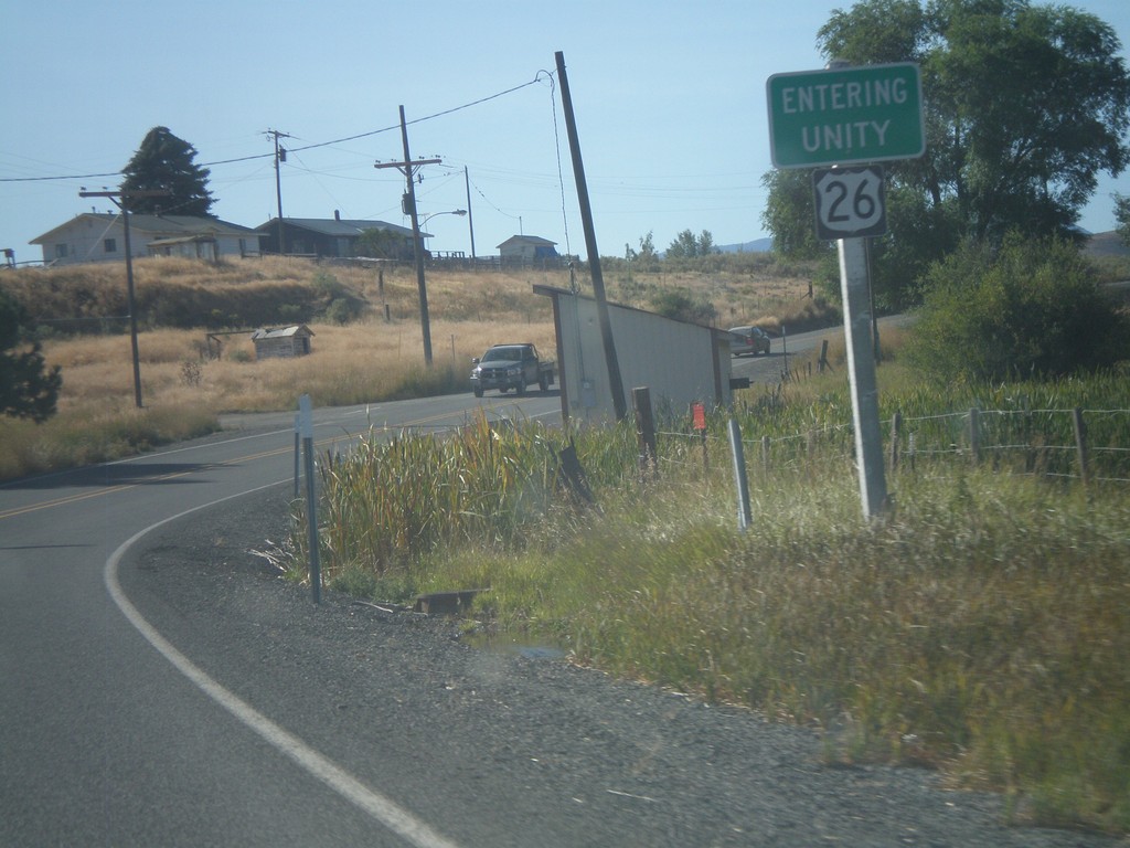
US-26 East - Entering Unity
Entering Unity Oregon on US-26 east.
Taken 09-04-2011
 Unity
Baker County
Oregon
United States
Unity
Baker County
Oregon
United States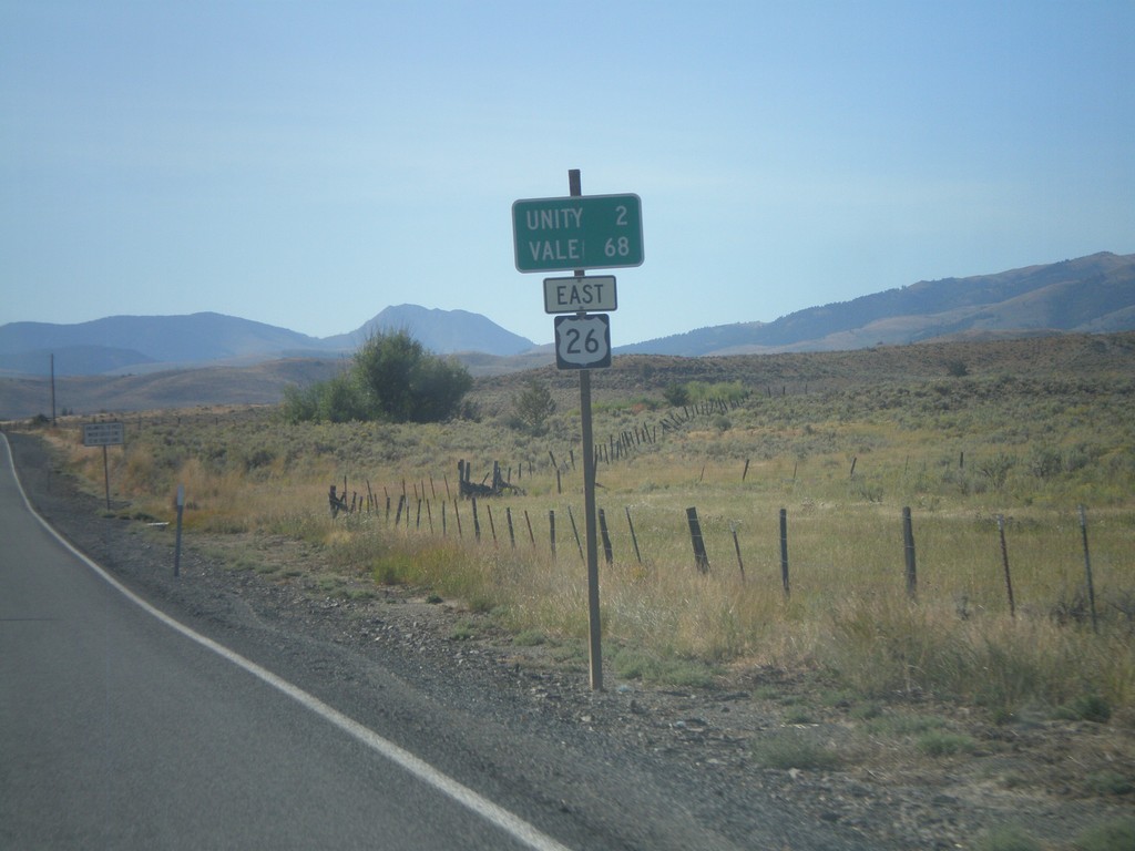
US-26 East - Distance Marker
Distance marker on US-26 east to Unity and Vale.
Taken 09-04-2011
Unity
Baker County
Oregon
United States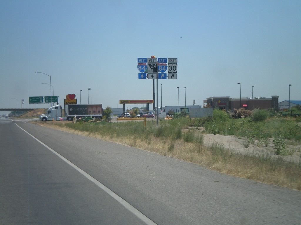
BL-84/US-30 East Approaching I-84/ID-24
BL-84/US-30 east approaching I-84 and ID-24. US-30 turns east onto I-84 and the road continues as ID-24 towards Rupert.
Taken 07-05-2011


 Heyburn
Minidoka County
Idaho
United States
Heyburn
Minidoka County
Idaho
United States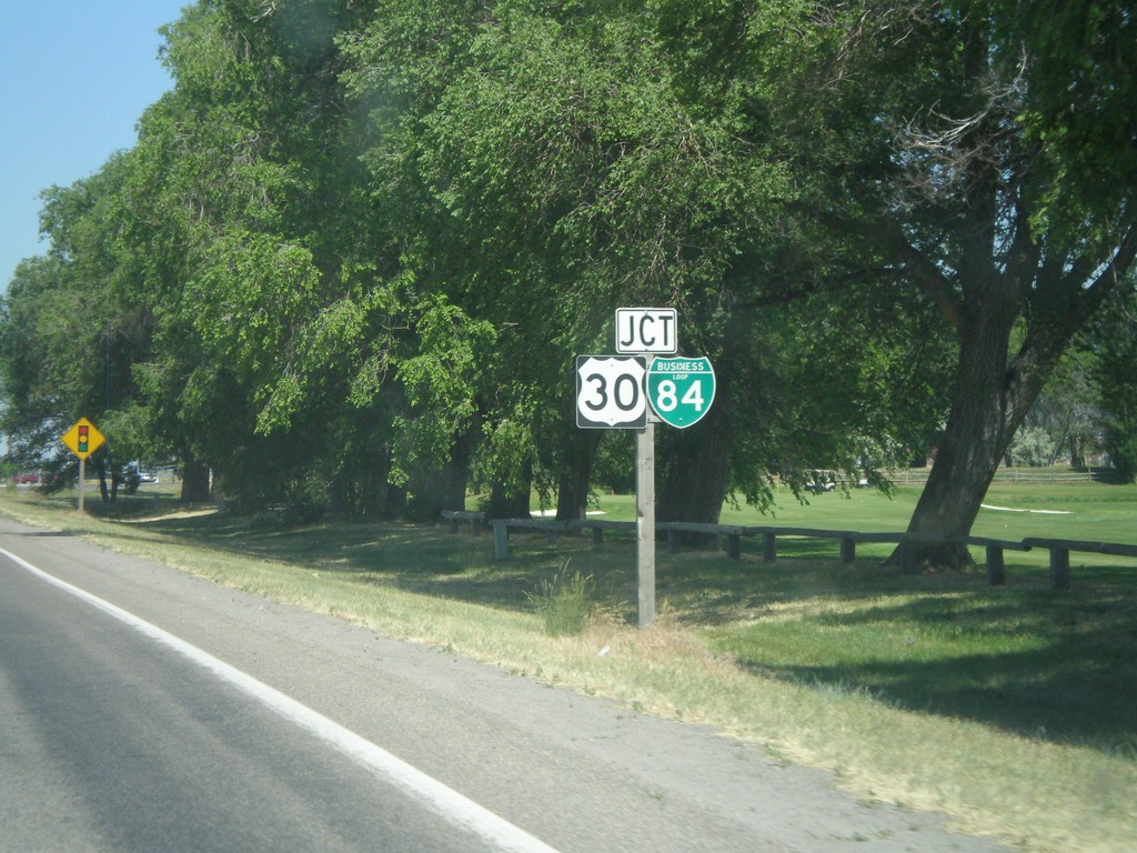
ID-81 North Approaching BL-84/US-30
Approaching BL-84/US-30 on ID-81 north in Burley.
Taken 07-05-2011
 Burley
Cassia County
Idaho
United States
Burley
Cassia County
Idaho
United States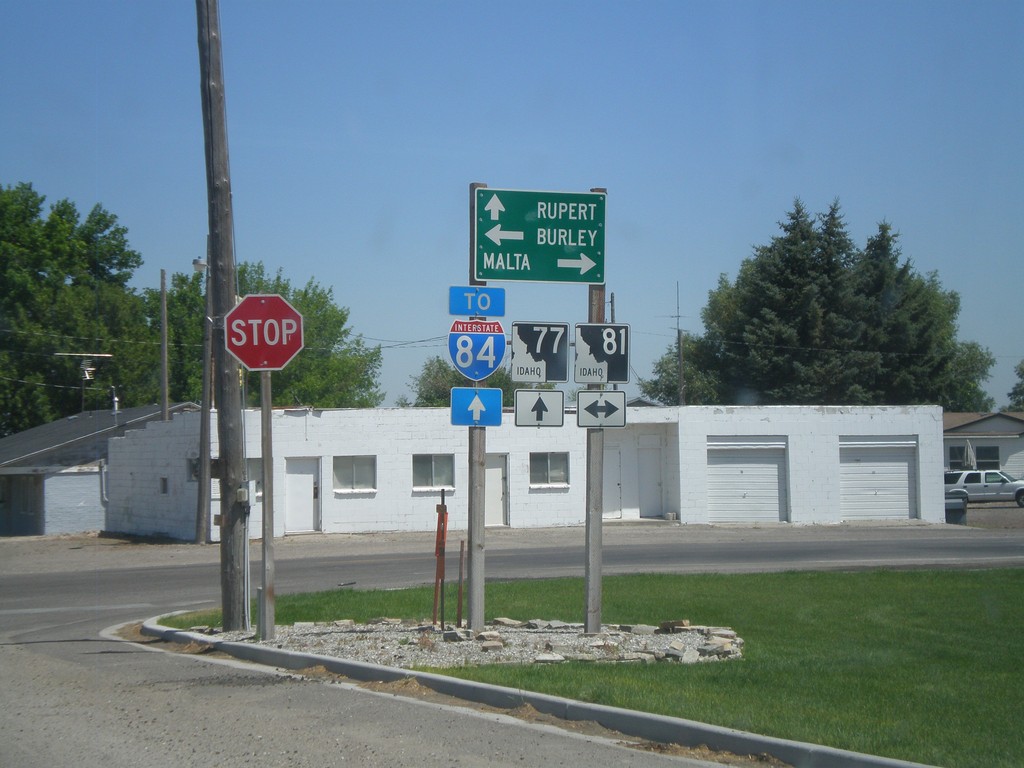
ID-77 North at ID-81
ID-77 north at ID-81. Use ID-77 north for Rupert and I-84; ID-81 south to Malta; and ID-81 north to Burley.
Taken 07-05-2011
 Declo
Cassia County
Idaho
United States
Declo
Cassia County
Idaho
United States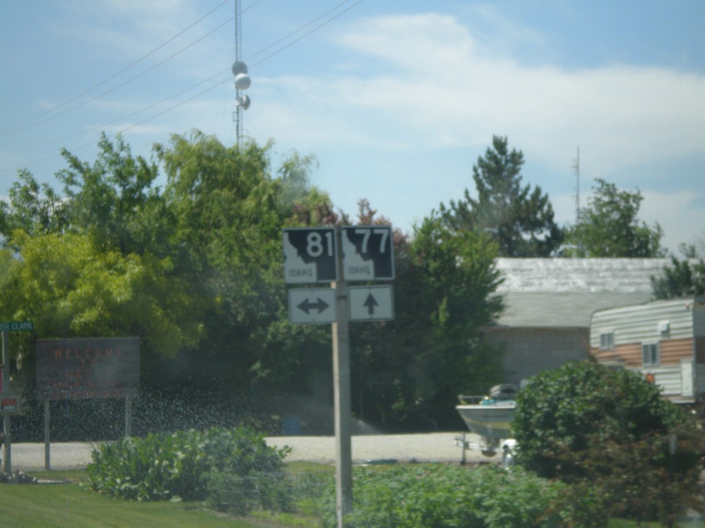
ID-77 South at ID-81
ID-77 south at ID-81 in Declo.
Taken 07-05-2011
Declo
Cassia County
Idaho
United States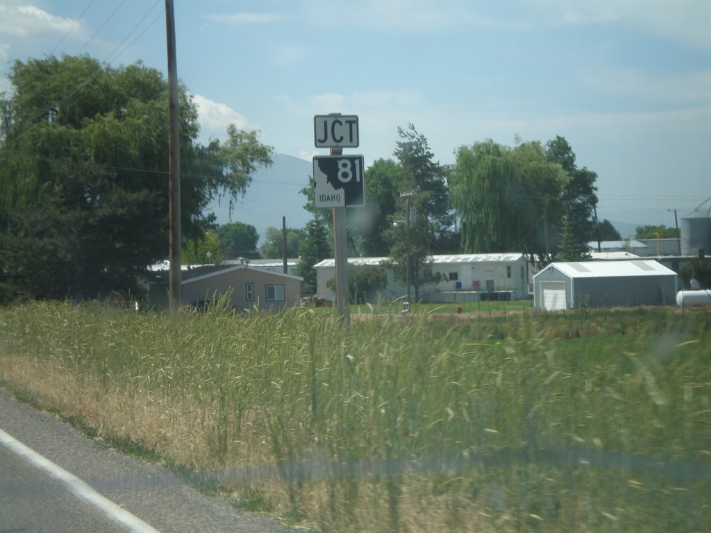
ID-77 South Approaching ID-81
ID-77 south approaching ID-81 in Declo.
Taken 07-05-2011
Declo
Cassia County
Idaho
United States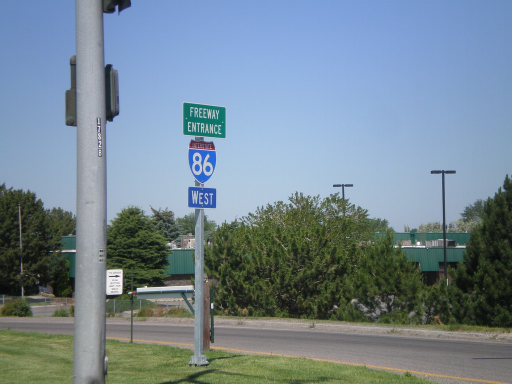
I-86 West - Freeway Entrance
I-86 west onramp at Exit 61. The Freeway Entrance type sign assembly is not common in Idaho.
Taken 07-05-2011

 Chubbuck
Bannock County
Idaho
United States
Chubbuck
Bannock County
Idaho
United States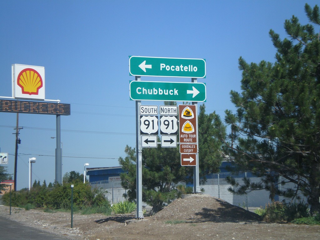
I-86 West - Exit 61 Offramp at US-91
I-86 west at Exit 61 offramp, US-91 jct. Use US-91 north for Chubbuck. Use US-91 south for Pocatello. US-91 north is part of the Oregon/California Trail - Goodale Cutoff.
Taken 07-05-2011
Pocatello
Bannock County
Idaho
United States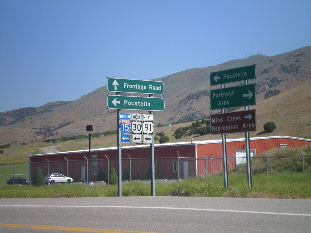
Frontage Road North at I-15 North
Frontage Road north at I-15/US-30/US-91 (Exit 67) north. Use I-15 north for Pocatello. Use Frontage Road north for Pocatello. Use Frontage Road south for Portneuf Area and Mink Creek Recreation Area.
Taken 07-05-2011
 Pocatello
Bannock County
Idaho
United States
Pocatello
Bannock County
Idaho
United States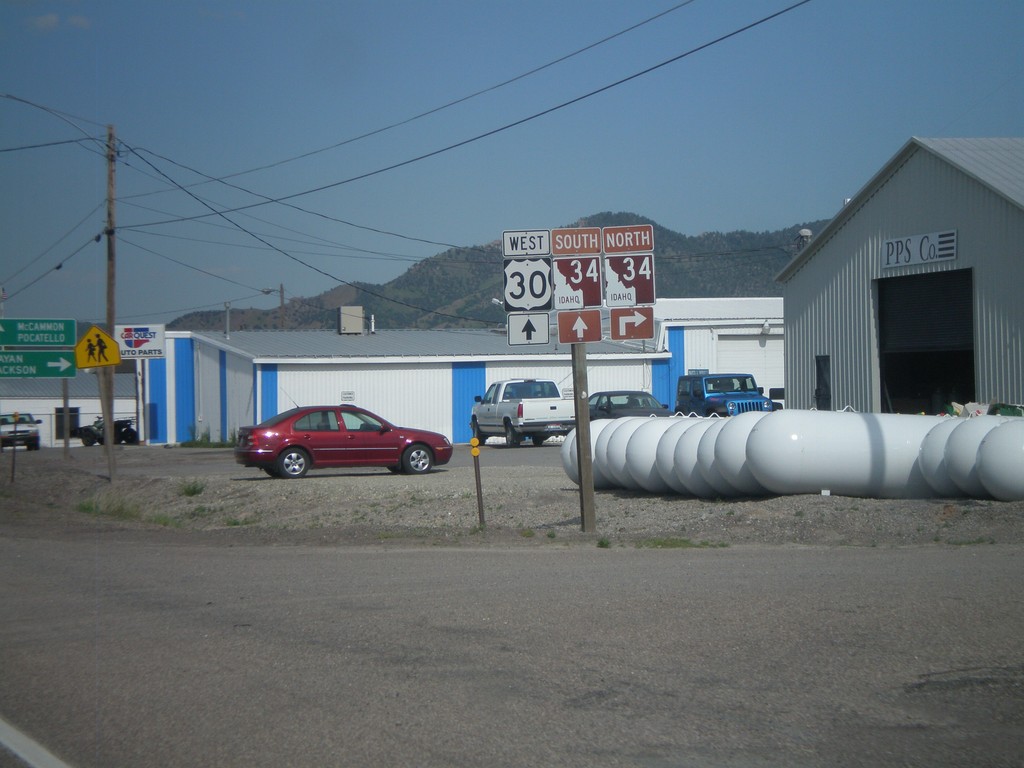
US-30 West at ID-34
US-30 west at ID-34 in Soda Springs. Turn right on ID-34 north for Afton and Jackson (both in Wyoming). ID-34 joins US-30 west through Soda Springs. Continue west on US-30/ID-34 for McCammon and Pocatello. ID-34 is part of the Pioneer Historic Byway, which is why the shield is a brown color.
Taken 07-05-2011
 Soda Springs
Caribou County
Idaho
United States
Soda Springs
Caribou County
Idaho
United States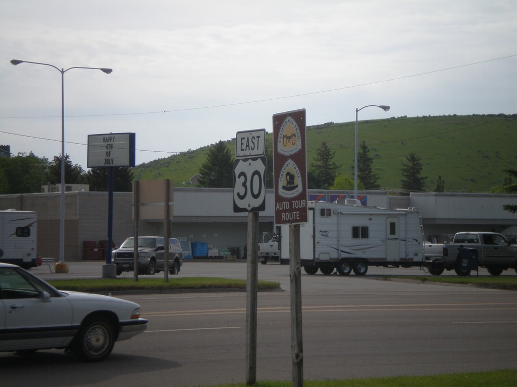
US-30 East - Oregon Trail/California Trail
US-30 east in Montpelier, with California and Oregon Trail Auto Tour Route signs.
Taken 07-05-2011
Montpelier
Bear Lake County
Idaho
United States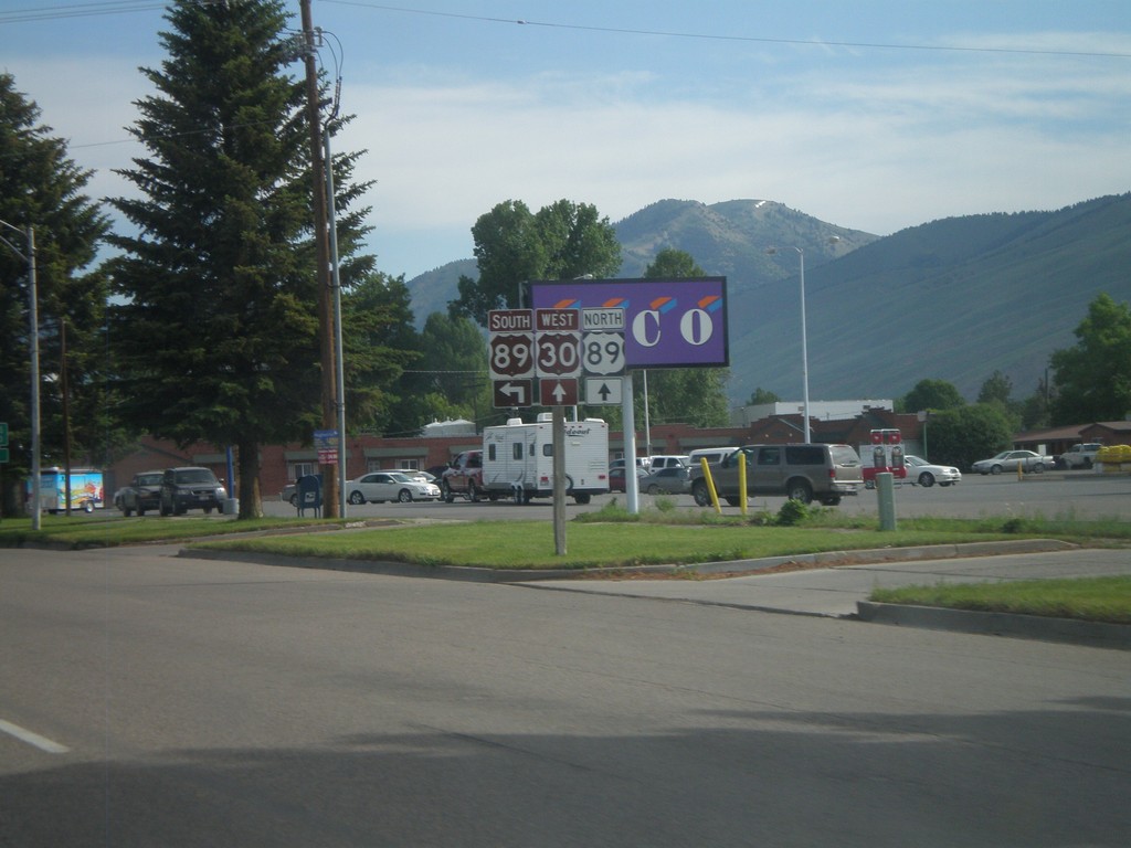
US-30 West at US-89
US-30 west at US-89 in Montpelier. US-89 joins US-30 through Montpelier. The Oregon Trail-Bear Lake Scenic Byway joins US-30 here, from US-89 south. That is why the US-89 south and US-30 west shields are brown.
Taken 07-05-2011
 Montpelier
Bear Lake County
Idaho
United States
Montpelier
Bear Lake County
Idaho
United States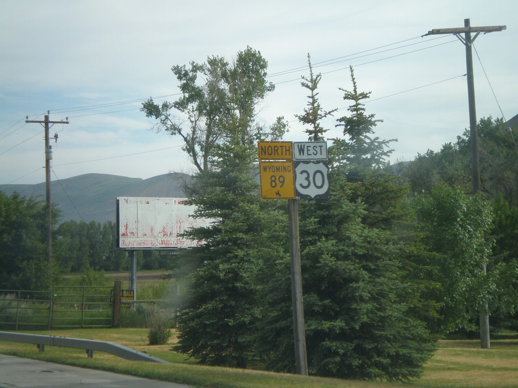
US-30 West/WY-89 North - Cokeville
US-30 West/WY-89 North in Cokeville.
Taken 07-05-2011
 Cokeville
Lincoln County
Wyoming
United States
Cokeville
Lincoln County
Wyoming
United States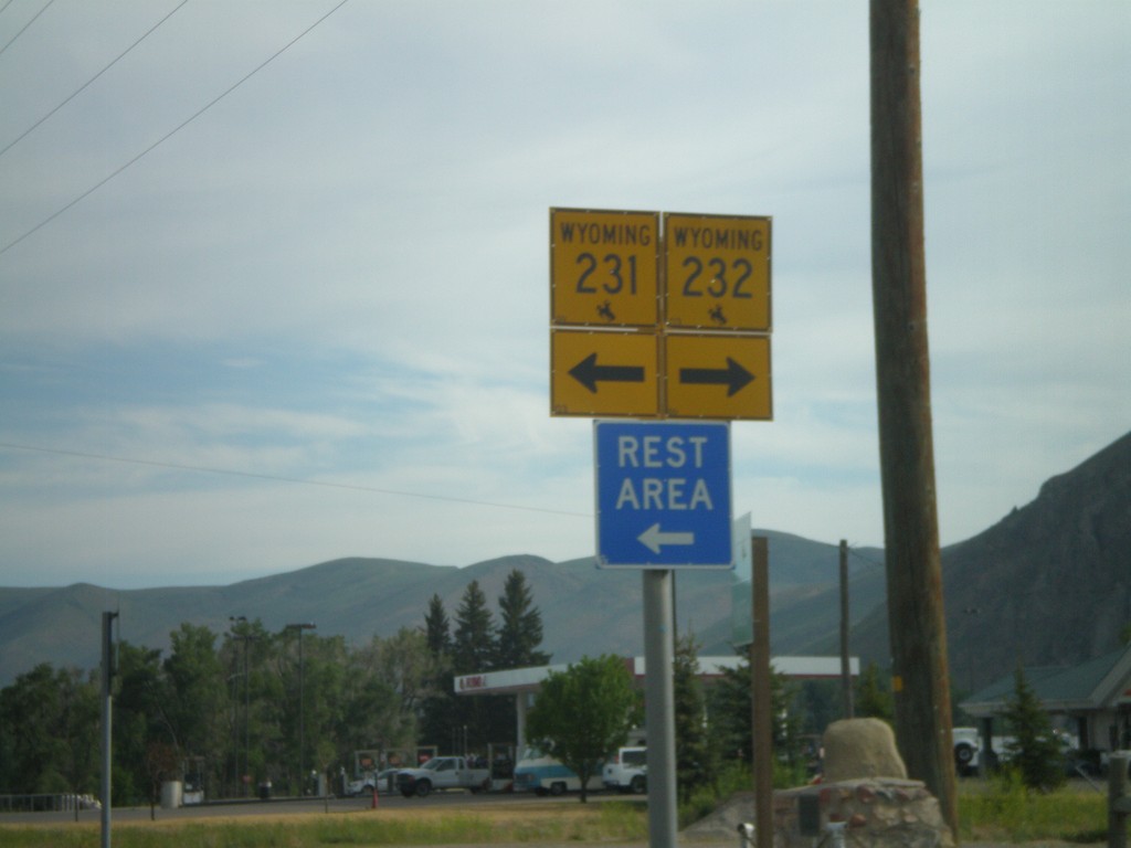
US-30 West at WY-231/WY-232
US-30 west at WY-231/WY-232 in Cokeville.
Taken 07-05-2011

 Cokeville
Lincoln County
Wyoming
United States
Cokeville
Lincoln County
Wyoming
United States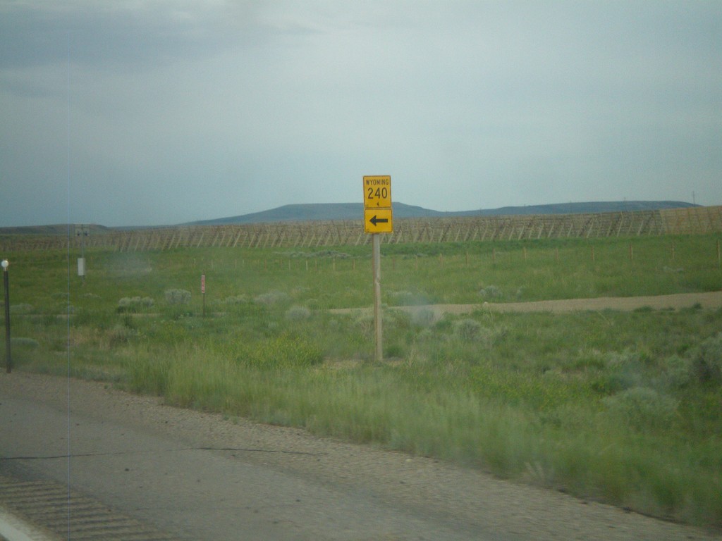
US-189 South at WY-240
US-189 south at WY-240. Use WY-240 south for Opal.
Taken 07-05-2011

 Kemmerer
Lincoln County
Wyoming
United States
Kemmerer
Lincoln County
Wyoming
United States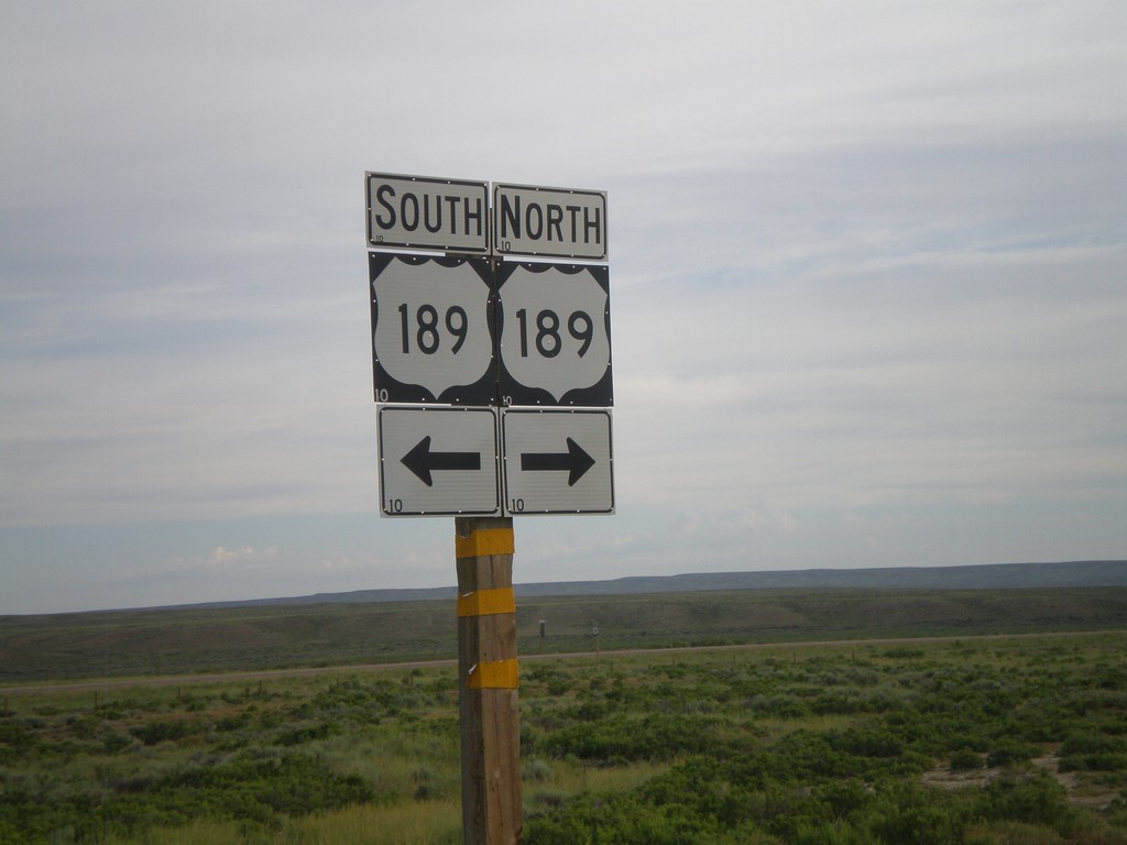
End WY-372 at US-189
End WY-372 at US-189.
Taken 07-05-2011
 Kemmerer
Lincoln County
Wyoming
United States
Kemmerer
Lincoln County
Wyoming
United States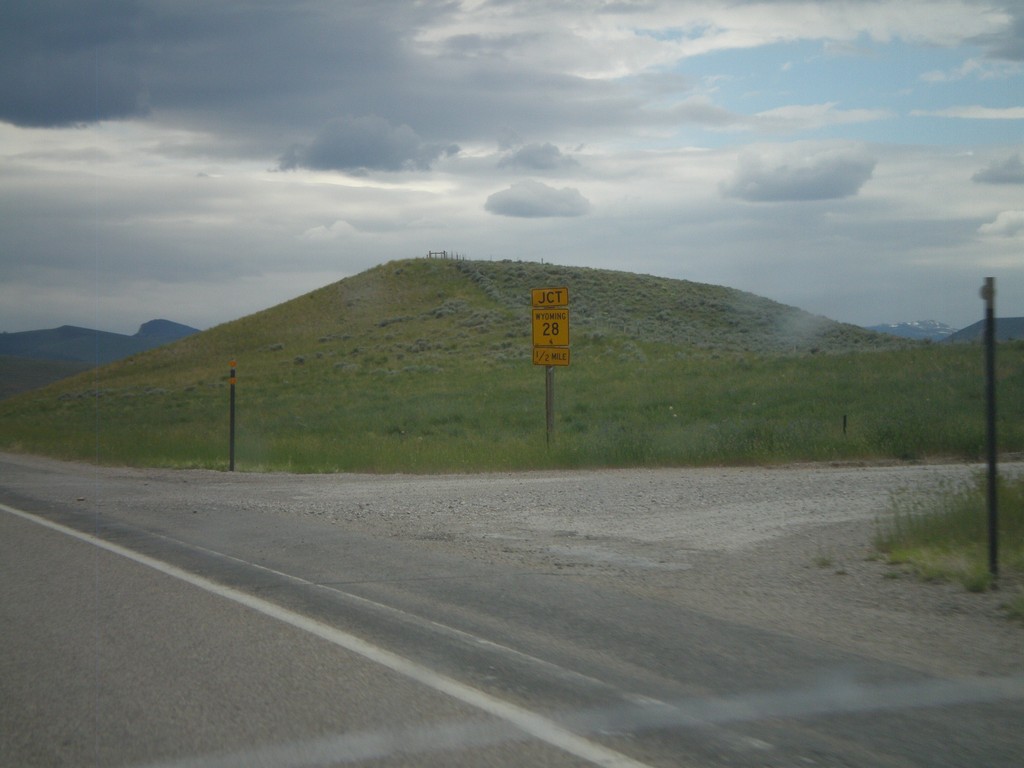
US-287/WY-789 North Approaching WY-28
US-287/WY-789 North approaching WY-28.
Taken 07-04-2011


 Lander
Fremont County
Wyoming
United States
Lander
Fremont County
Wyoming
United States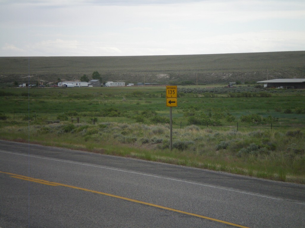
US-287/WY-789 South at WY-135
US-287/WY-789 South at WY-135 North.
Taken 07-04-2011
 Sweetwater Station
Fremont County
Wyoming
United States
Sweetwater Station
Fremont County
Wyoming
United States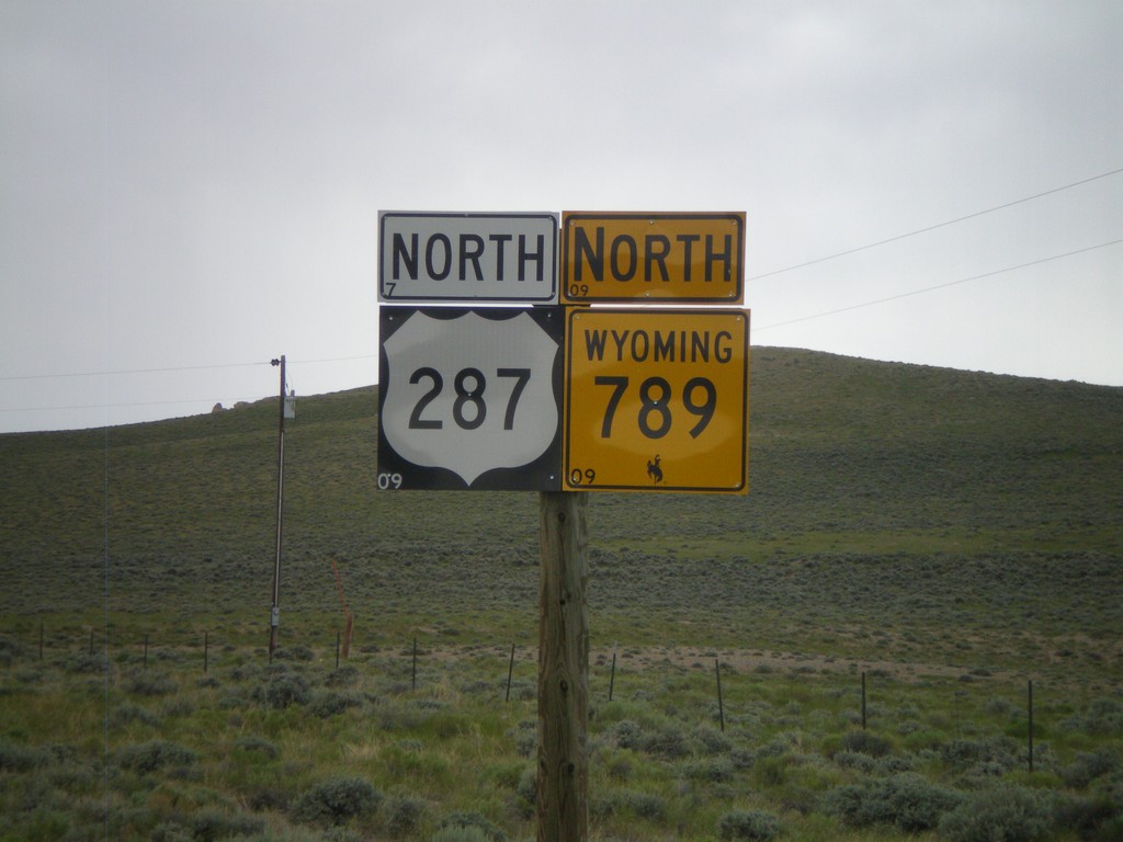
US-287/WY-789 North
US-287/WY-789 North in Sweetwater Junction.
Taken 07-04-2011
Lander
Fremont County
Wyoming
United States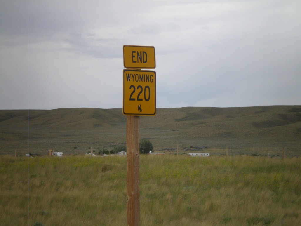
End WY-220 West at US-287/WY-789
End WY-220 west at US-287/WY-789 in Muddy Gap Junction.
Taken 07-04-2011
 Rawlins
Carbon County
Wyoming
United States
Rawlins
Carbon County
Wyoming
United States