Signs Tagged With Shield
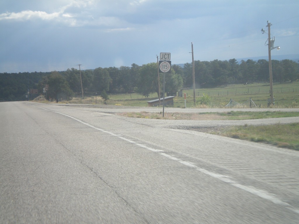
US-84 South Approaching NM-115
US-84 South approaching NM-115 in Rio Arriba County.
Taken 10-02-2011

 Abiquiu
Rio Arriba County
New Mexico
United States
Abiquiu
Rio Arriba County
New Mexico
United States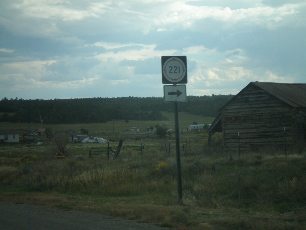
US-84 South at NM-221
US-84 South at NM-221 in Cebolla.
Taken 10-02-2011
 Cebolla
Rio Arriba County
New Mexico
United States
Cebolla
Rio Arriba County
New Mexico
United States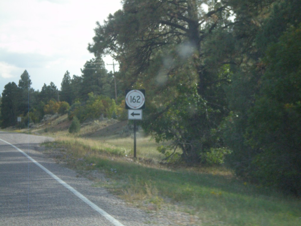
US-84 South at NM-162
US-84 South at NM-162 in Rio Arriba County.
Taken 10-02-2011
Tierra Amarilla
Rio Arriba County
New Mexico
United States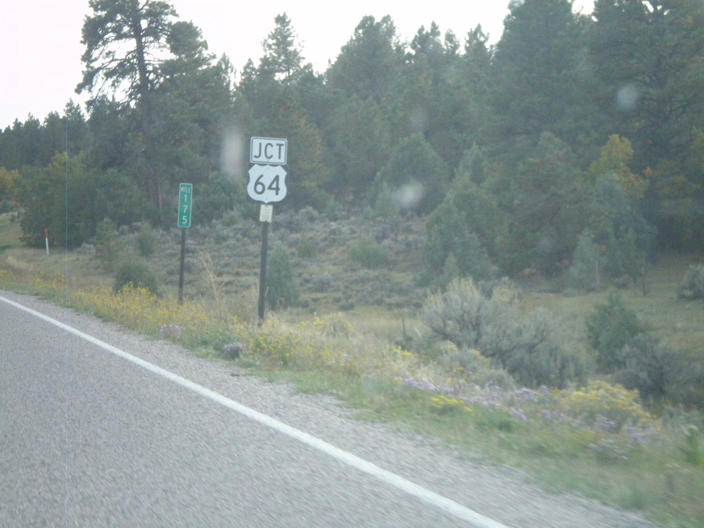
US-84 South/US-64 East At Split
US-84 South/US-64 East at Split. US-64 turns east here towards Taos. Northbound US-64 joins US-84 to west of Chama.
Taken 10-02-2011
 Los Ojos
Rio Arriba County
New Mexico
United States
Los Ojos
Rio Arriba County
New Mexico
United States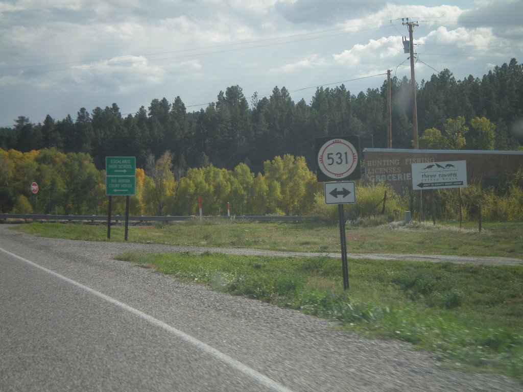
US-84 South/US-64 East at NM-531
US-84 South/US-64 East at NM-531 in Tierra Amarilla. Turn right on NM-531 for Escalante High School; left for Rio Arriba (County) Court House.
Taken 10-02-2011
 Tierra Amarilla
Rio Arriba County
New Mexico
United States
Tierra Amarilla
Rio Arriba County
New Mexico
United States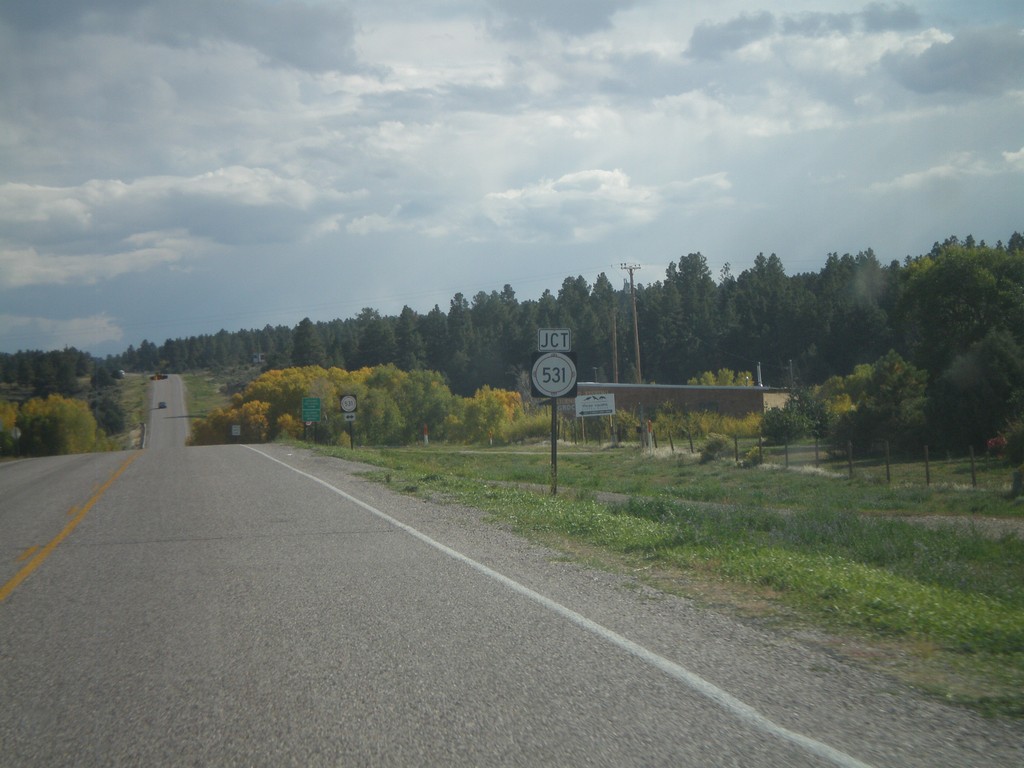
US-84 South/US-64 East Approaching NM-531
US-84 South/US-64 East approaching NM-531 in Tierra Amarilla.
Taken 10-02-2011
Tierra Amarilla
Rio Arriba County
New Mexico
United States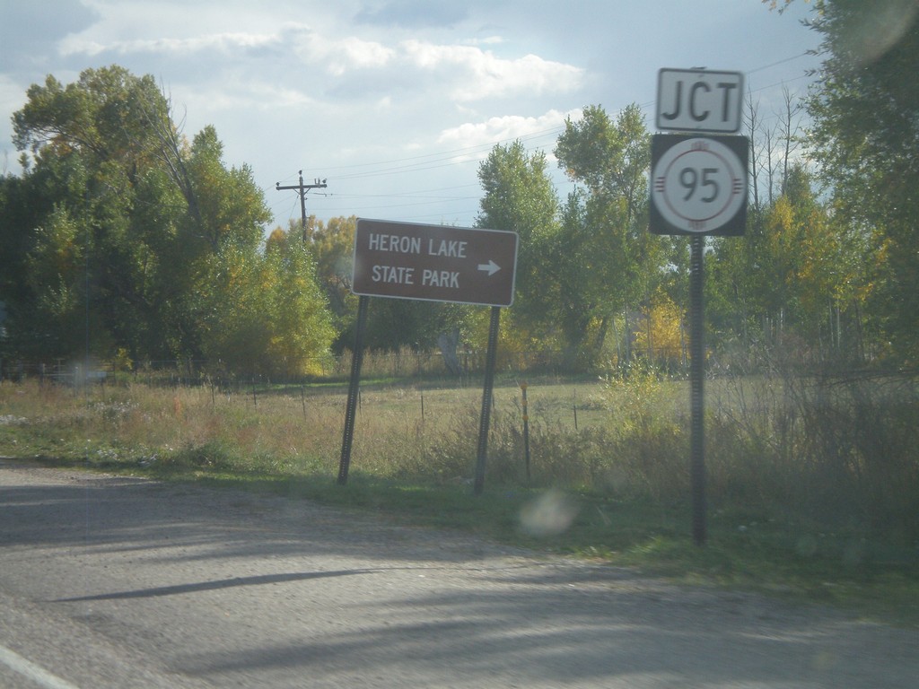
US-84 South/US-64 East Approaching NM-95
US-84 South/US-64 East approaching NM-95. Use NM-95 for Heron Lake State Park.
Taken 10-02-2011
 Los Ojos
Rio Arriba County
New Mexico
United States
Los Ojos
Rio Arriba County
New Mexico
United States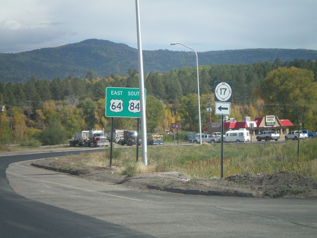
US-84 South/US-64 East at NM-17
US-84 South/US-64 East at NM-17 in Chama. Turn right to continue on US-84 South/US-64 East; turn left for NM-17.
Taken 10-02-2011
 Chama
Rio Arriba County
New Mexico
United States
Chama
Rio Arriba County
New Mexico
United States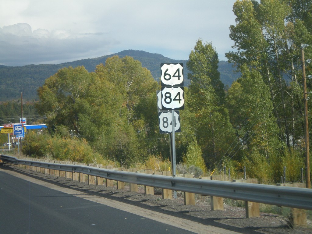
US-64/US-84 in Chama
US-64/US-84 in Chama. There were two sets of every sign when this picture was taken between US-64/US-84 junction west of here into Chama. There was road construction and it appears new signs were part of the project.
Taken 10-02-2011
Chama
Rio Arriba County
New Mexico
United States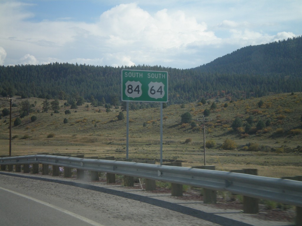
US-64 East/US-84 South
US-64 East/US-84 South in Rio Arriba County.
Taken 10-02-2011
Chama
Rio Arriba County
New Mexico
United States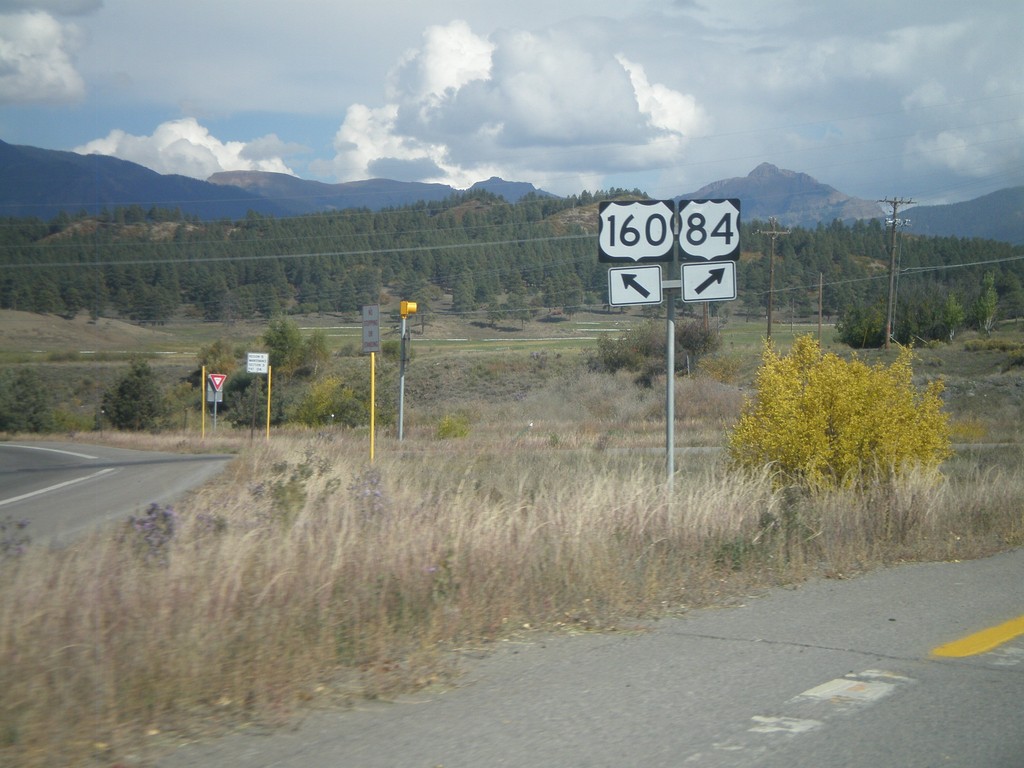
US-160 East at US-84
US-160 east at US-84 in Pagosa Springs. Merge right for US-84. This is the western terminus of US-84. The eastern end of US-84 is in Midway, Georgia.
Taken 10-02-2011
 Pagosa Springs
Archuleta County
Colorado
United States
Pagosa Springs
Archuleta County
Colorado
United States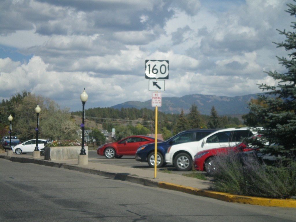
US-160 - Pagosa Springs
US-160 (Main St.) in downtown Pagosa Springs.
Taken 10-02-2011
Pagosa Springs
Archuleta County
Colorado
United States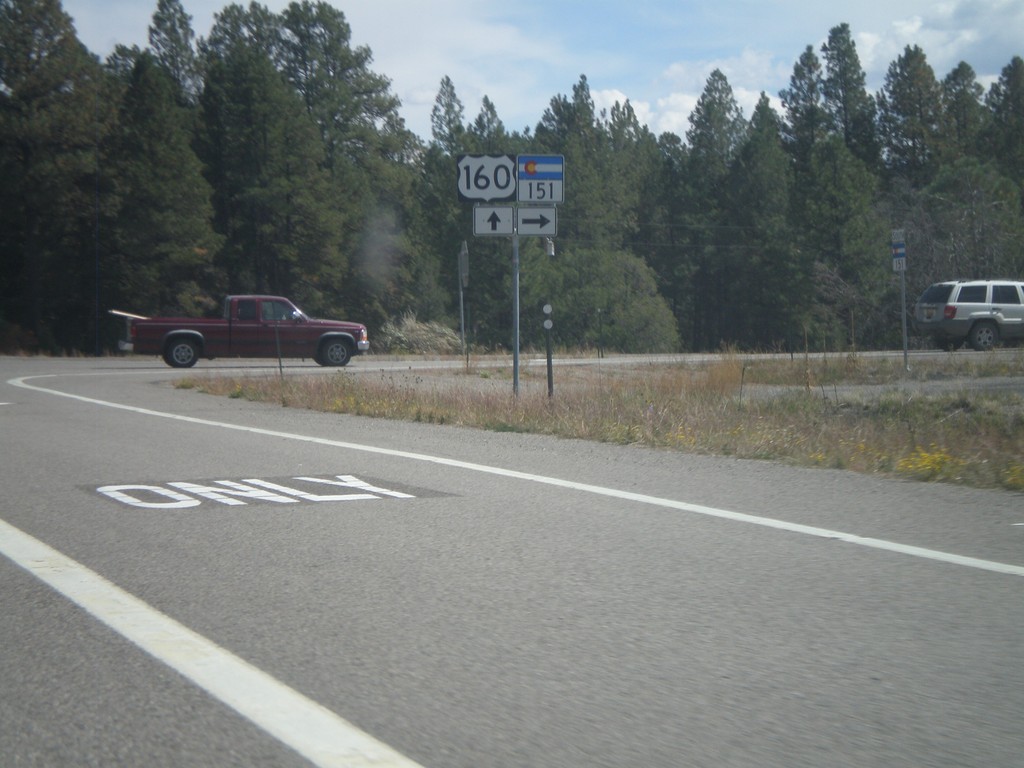
US-160 East at CO-151
US-160 east at CO-151 in Archuleta County.
Taken 10-02-2011
 Pagosa Springs
Archuleta County
Colorado
United States
Pagosa Springs
Archuleta County
Colorado
United States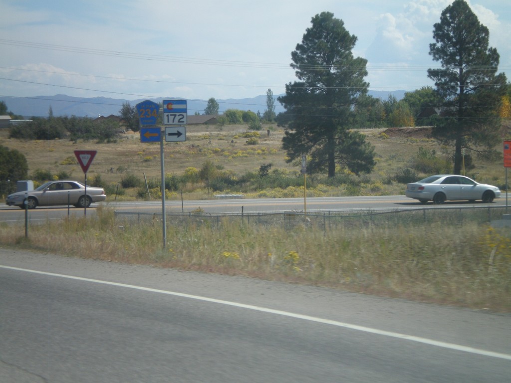
US-160 East at CO-172/CH-234
US-160 East at CO-172 South and CH-234 North. Taken just east of Durango.
Taken 10-02-2011

 Durango
La Plata County
Colorado
United States
Durango
La Plata County
Colorado
United States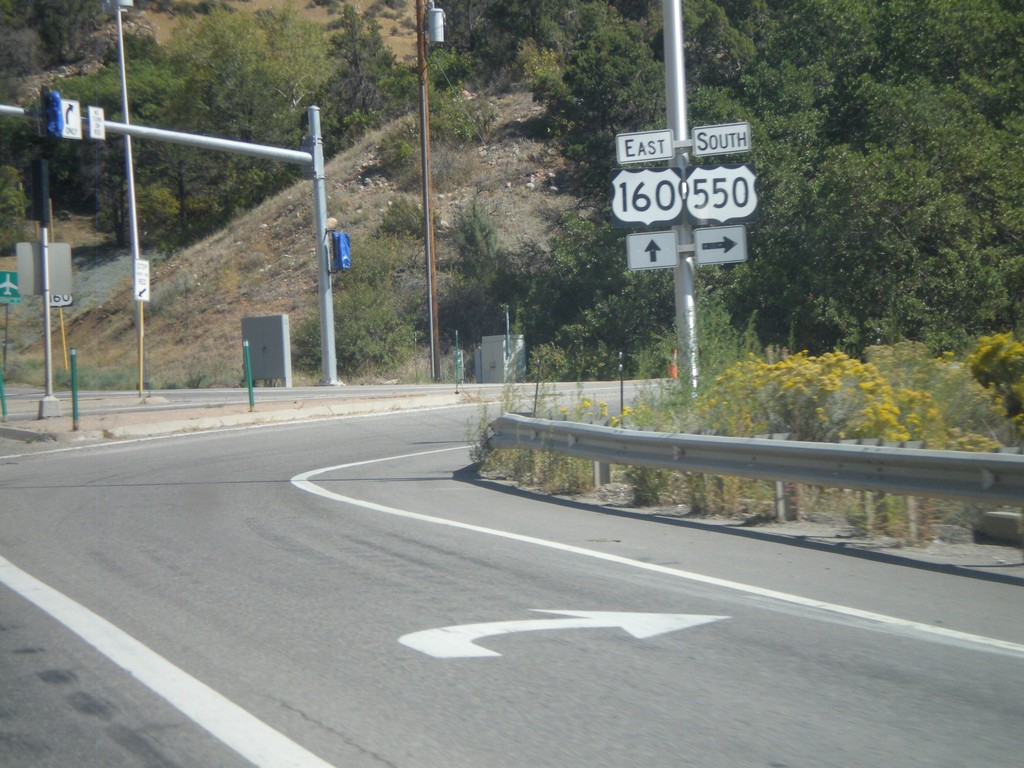
US-160 East/US-550 South at US-550
US-160 East/US-550 South at US-550 in Durango. Turn right to continue south on US-550.
Taken 10-02-2011
 Durango
La Plata County
Colorado
United States
Durango
La Plata County
Colorado
United States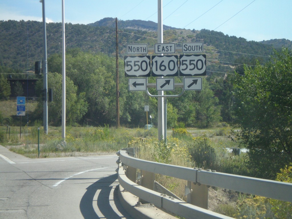
US-160 East at US-550
US-160 East at US-550. Turn left for US-550 north; turn right for US-160 East/US-550 South. US-550 joins US-160 through Durango.
Taken 10-02-2011
Durango
La Plata County
Colorado
United States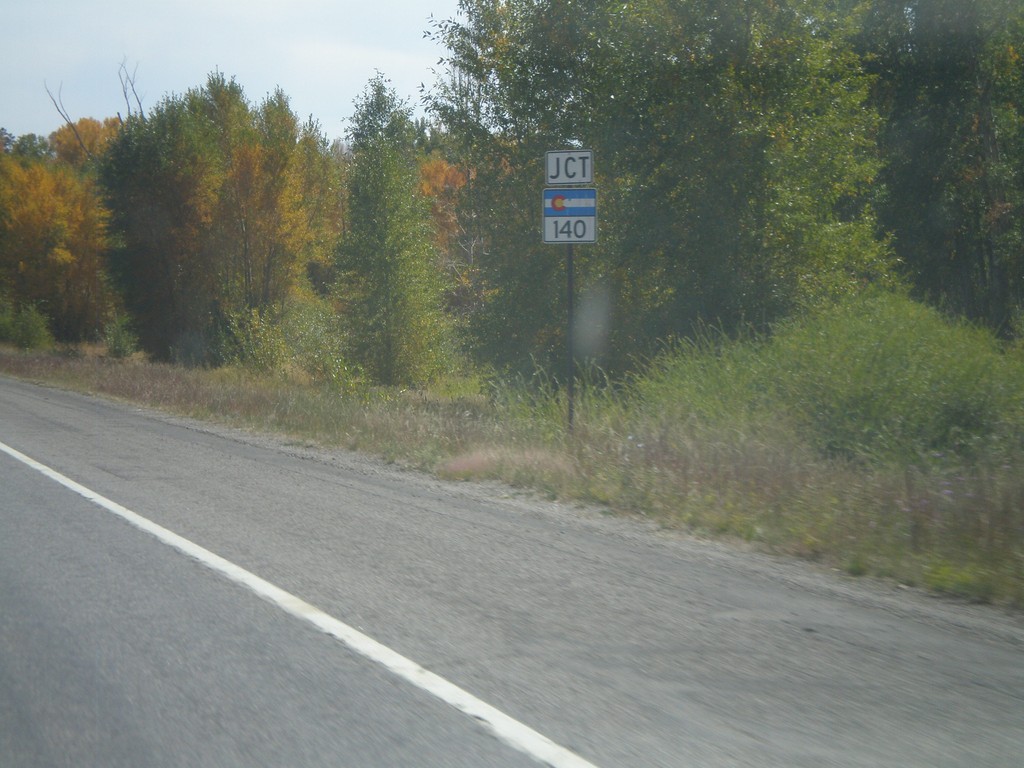
US-160 East Approaching CO-140
US-160 east approaching CO-140 south.
Taken 10-02-2011
 Hesperus
La Plata County
Colorado
United States
Hesperus
La Plata County
Colorado
United States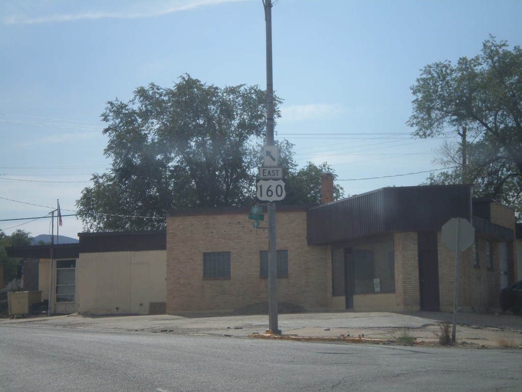
US-160 East - Cortez
US-160 east in Cortez on the connector between US-491 south and US-160 east.
Taken 10-02-2011
Cortez
Montezuma County
Colorado
United States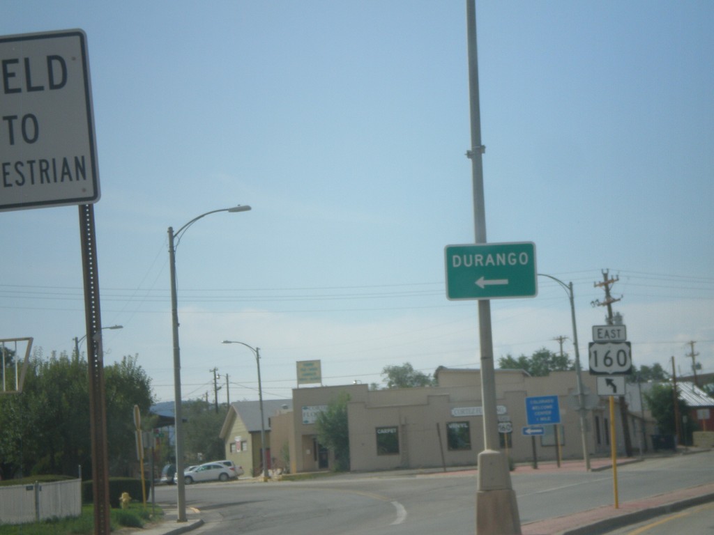
US-491 South at US-160 East
US-491 South at US-160 East to Durango.
Taken 10-02-2011
 Cortez
Montezuma County
Colorado
United States
Cortez
Montezuma County
Colorado
United States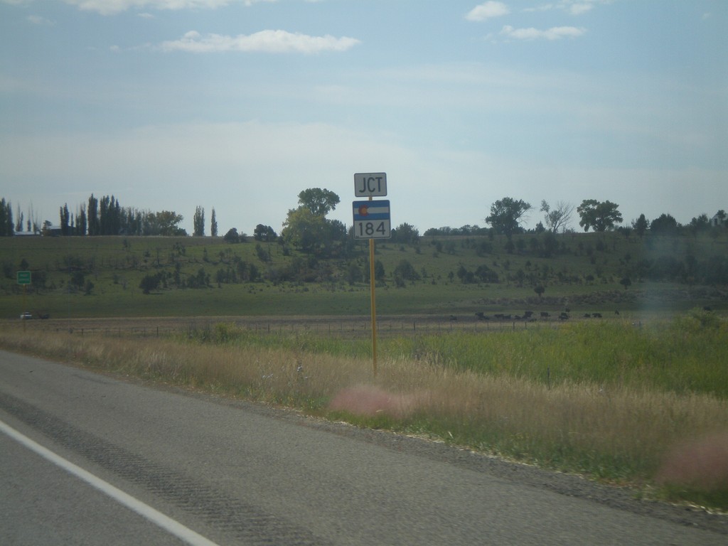
US-491 South Approaching CO-184
US-491 South approaching CO-184 east.
Taken 10-02-2011
 Lewis
Montezuma County
Colorado
United States
Lewis
Montezuma County
Colorado
United States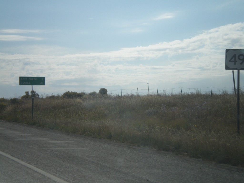
US-491 South - Distance Marker
Distance marker on US-491 south just past the CO-141 junction. Distance to Dove Creek and Cortez.
Taken 10-02-2011
Dove Creek
Dolores County
Colorado
United States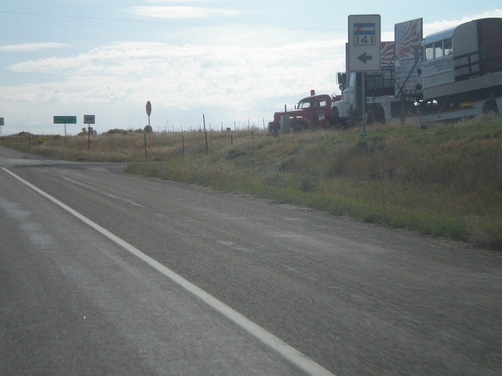
US-491 South at CO-141 North
US-491 South at CO-141 North in Dolores County.
Taken 10-02-2011
 Dove Creek
Dolores County
Colorado
United States
Dove Creek
Dolores County
Colorado
United States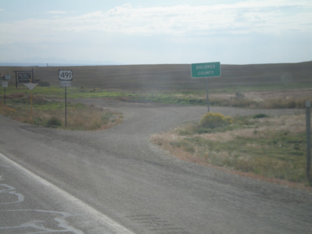
US-491 South - Dolores County
Dolores County on US-491 south. The Colorado welcome sign can be seen in the background. Taken at the Utah-Colorado state line.
Taken 10-02-2011
Dove Creek
Dolores County
Colorado
United States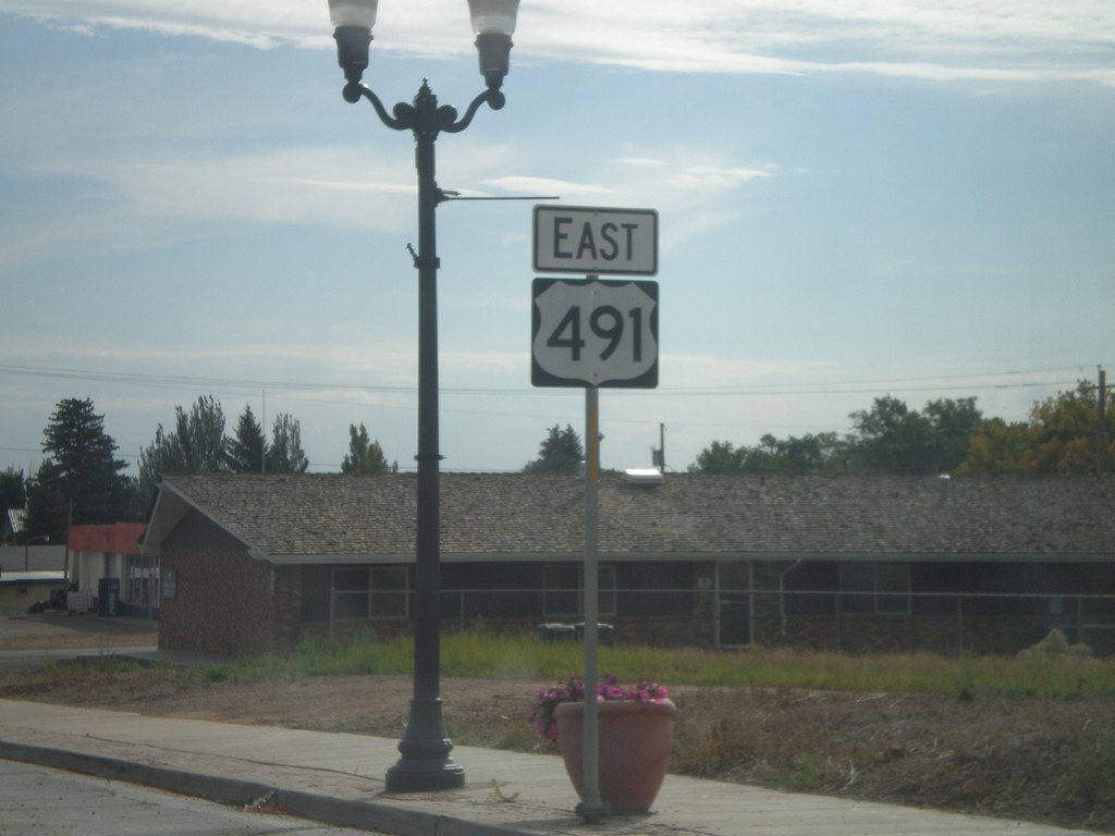
US-491 South - Monticello
US-491 south in Monticello. This is the first US-491 shield on US-491 southbound. US-491 was formerly US-666 until it was renamed in 2003.
Taken 10-02-2011
Monticello
San Juan County
Utah
United States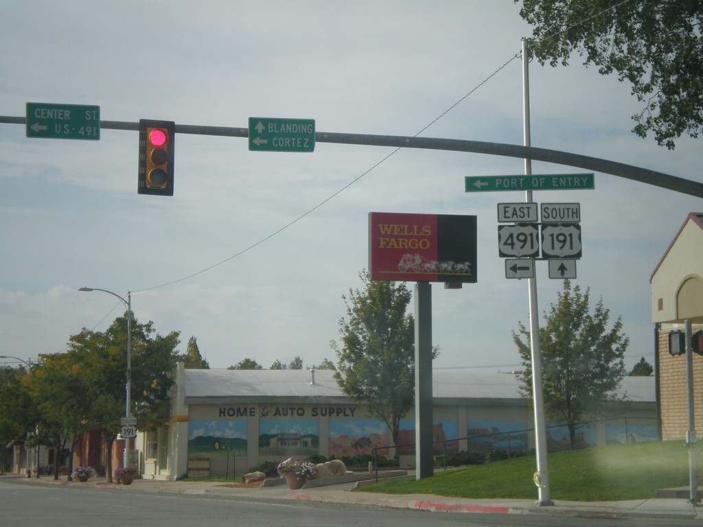
US-191 South at US-491
US-191 South at US-491. Use US-491 east for Cortez (Colorado); continue south on US-191 for Blanding. This is the northern end of US-491. Also US-491 east for the (Utah) Port of Entry.
Taken 10-02-2011
 Monticello
San Juan County
Utah
United States
Monticello
San Juan County
Utah
United States