Signs Tagged With Shield
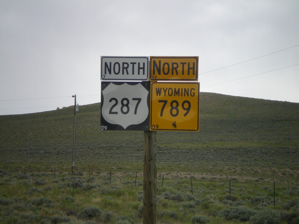
US-287/WY-789 North
US-287/WY-789 North in Sweetwater Junction.
Taken 07-04-2011

 Lander
Fremont County
Wyoming
United States
Lander
Fremont County
Wyoming
United States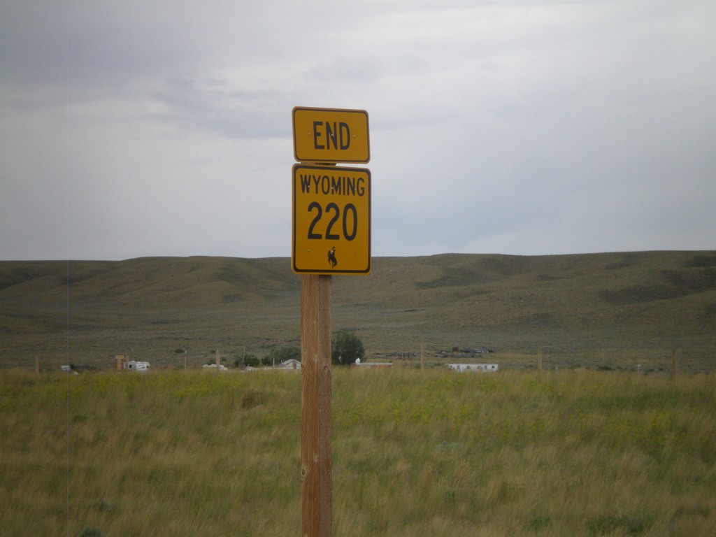
End WY-220 West at US-287/WY-789
End WY-220 west at US-287/WY-789 in Muddy Gap Junction.
Taken 07-04-2011
 Rawlins
Carbon County
Wyoming
United States
Rawlins
Carbon County
Wyoming
United States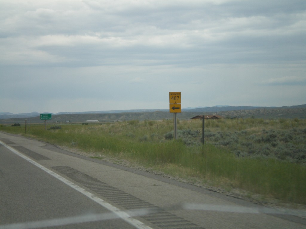
WY-220 West at WY-487 South
WY-220 west at WY-487 south.
Taken 07-04-2011
 Casper
Natrona County
Wyoming
United States
Casper
Natrona County
Wyoming
United States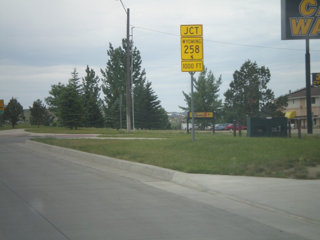
WY-220 West Approaching WY-258
WY-220 West (CY Ave) approaching WY-258 (Wyoming Blvd). WY-258 is the belt line across the south side of Casper.
Taken 07-04-2011
 Casper
Natrona County
Wyoming
United States
Casper
Natrona County
Wyoming
United States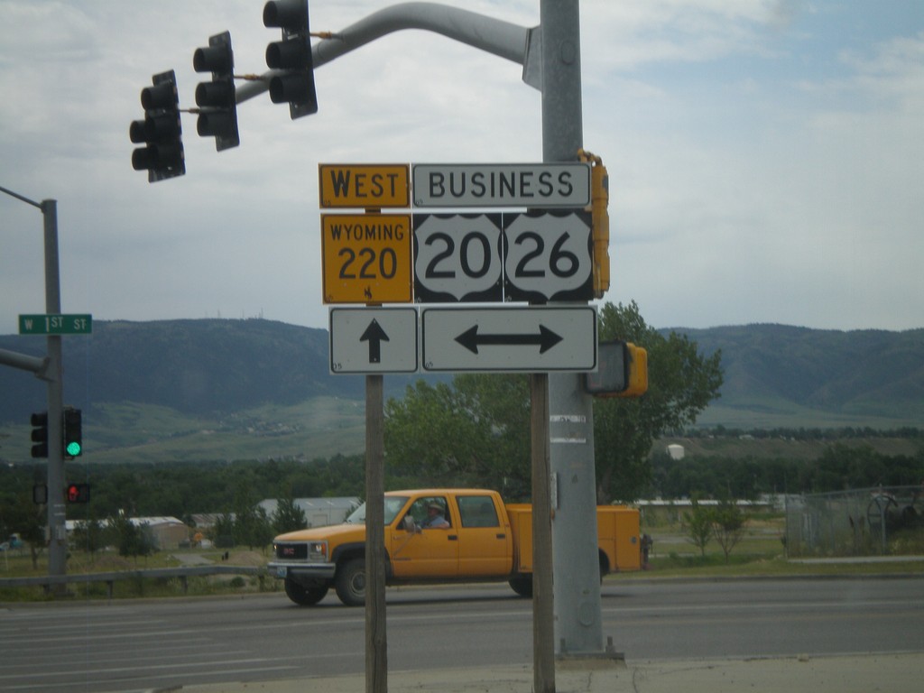
WY-220 West at Business US-20/Business US-26
WY-220 west at Business US-20/Business US-26 (1st Ave) in Casper.
Taken 07-04-2011

 Casper
Natrona County
Wyoming
United States
Casper
Natrona County
Wyoming
United States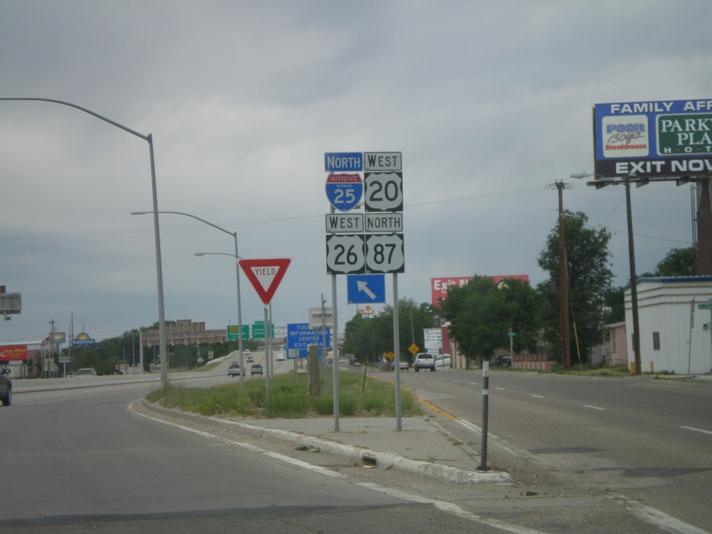
I-25/US-87 North/US-20/US-26 West Onramp
I-25/US-87 North/US-20/US-26 West Exit 187 onramp in Casper.
Taken 07-04-2011


 Casper
Natrona County
Wyoming
United States
Casper
Natrona County
Wyoming
United States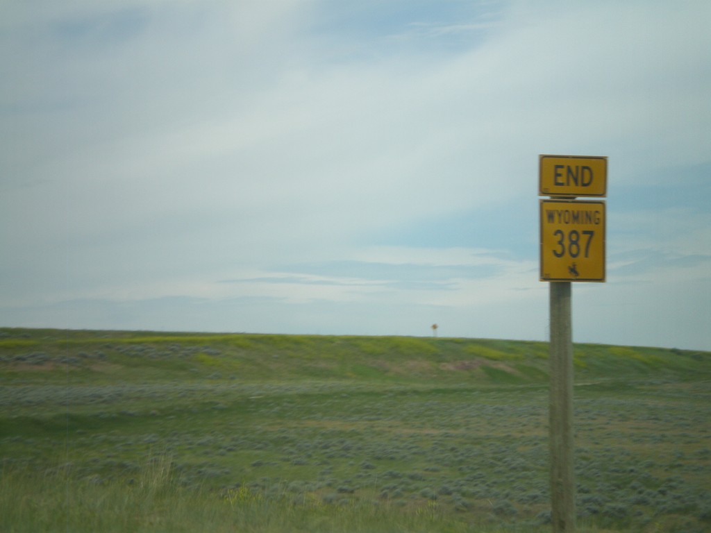
End WY-387 West at I-25/US-87
End WY-387 west at I-25/US-87 (Exit 227) near Midwest.
Taken 07-04-2011
 Midwest
Natrona County
Wyoming
United States
Midwest
Natrona County
Wyoming
United States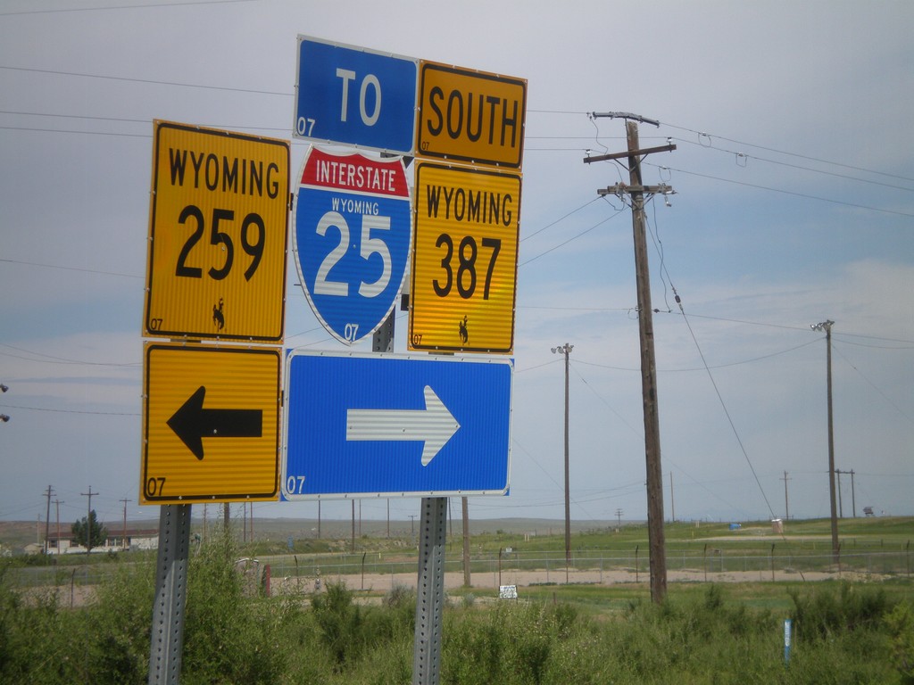
WY-387 West at WY-258
WY-387 south at WY-258 in Midwest. Turn right to continue west on WY-387, and for I-25 traffic. It is probably shorter for I-25 south traffic to use WY-259 south, even though it is signed otherwise.
Taken 07-04-2011
 Midwest
Natrona County
Wyoming
United States
Midwest
Natrona County
Wyoming
United States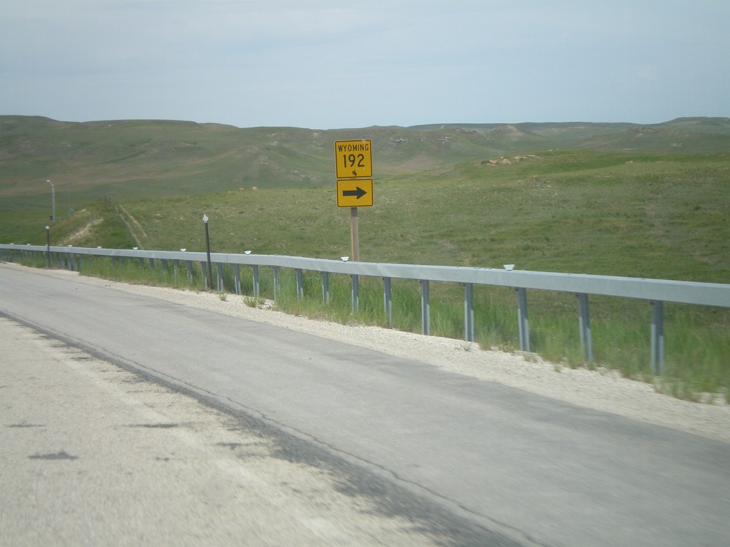
WY-387 South Approaching WY-192
WY-387 South approaching WY-192 North in rural Johnson County.
Taken 07-04-2011
Linch
Johnson County
Wyoming
United States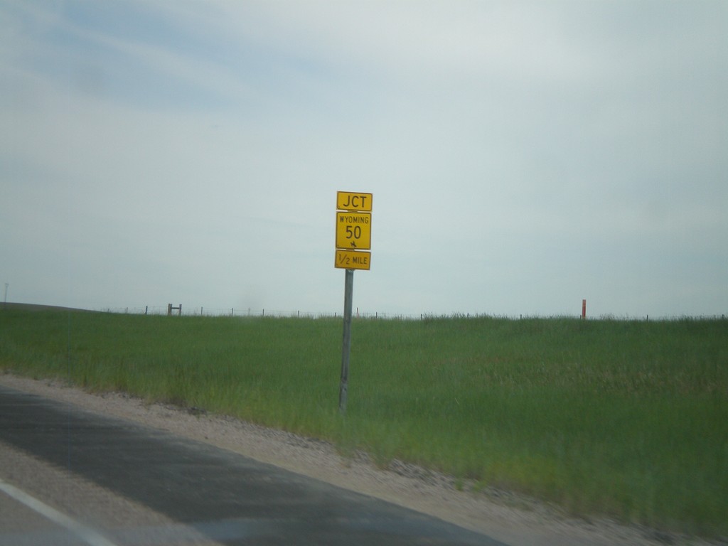
WY-387 South Approaching WY-50
WY-387 South approaching WY-50 North.
Taken 07-04-2011
 Gillette
Campbell County
Wyoming
United States
Gillette
Campbell County
Wyoming
United States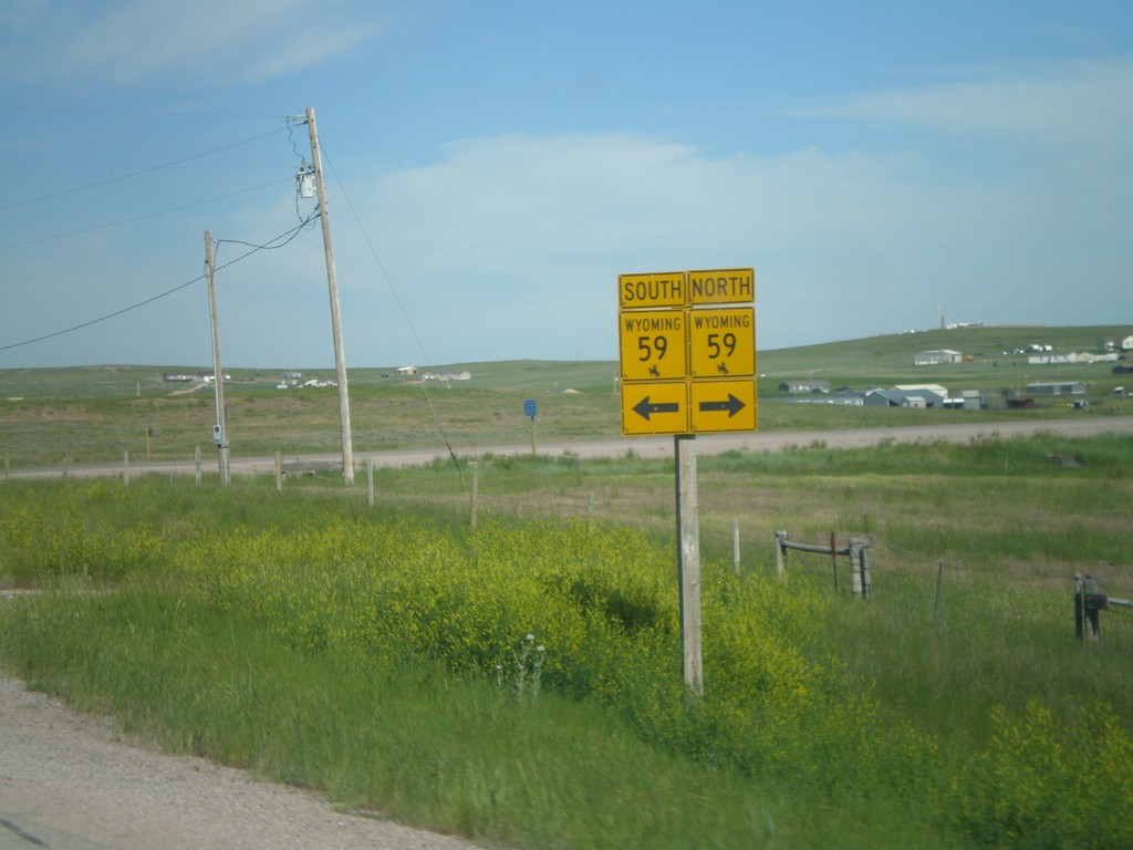
WY-450 West Approaching WY-59
WY-450 west approaching WY-59.
Taken 07-04-2011

 Gillette
Campbell County
Wyoming
United States
Gillette
Campbell County
Wyoming
United States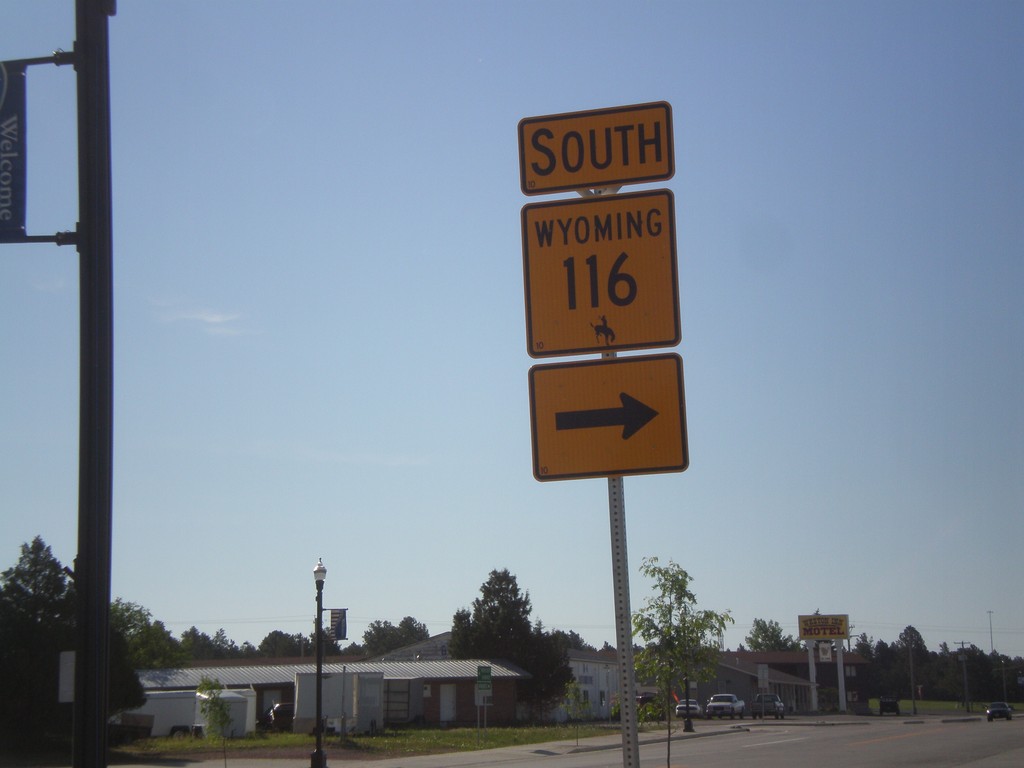
US-16 West/WY-116 South at WY-116 South
US-16 West/WY-116 South at WY-116 South in Upton, Wyoming. WY-116 joins US-16 briefly through Upton.
Taken 07-04-2011

 Upton
Weston County
Wyoming
United States
Upton
Weston County
Wyoming
United States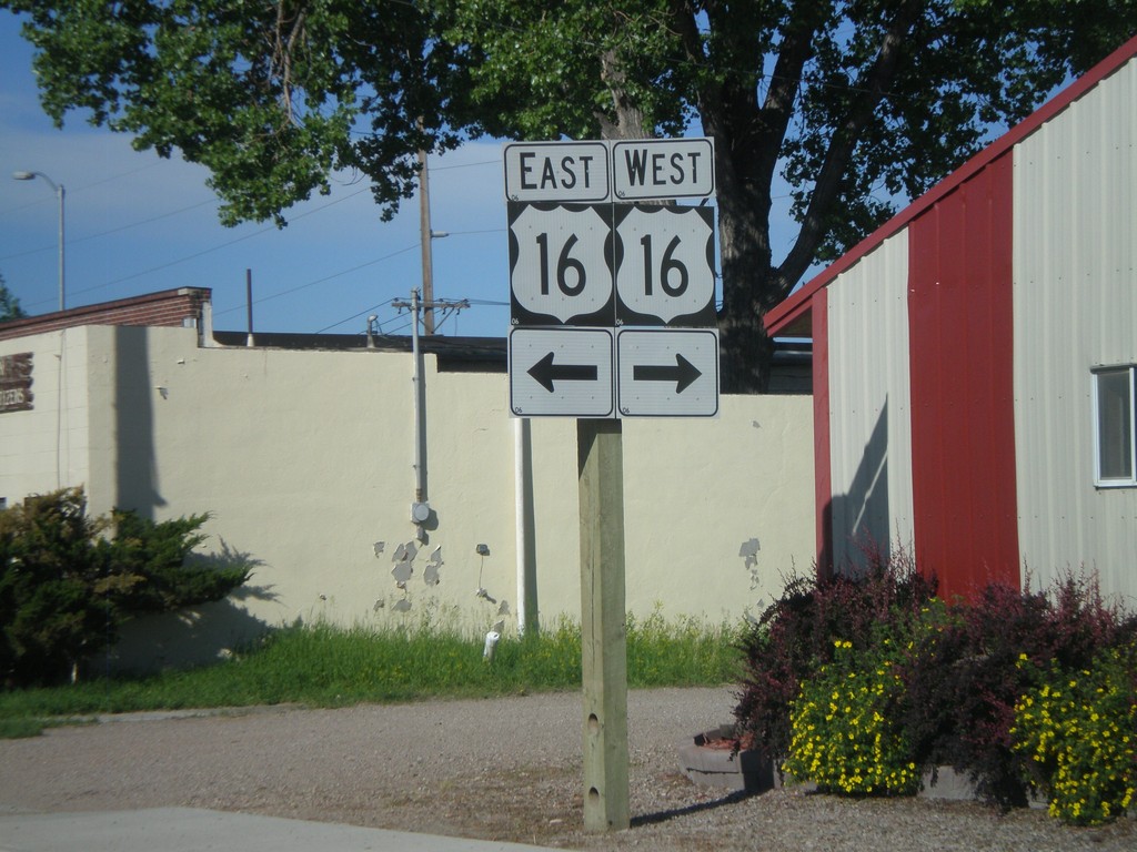
WY-116 South at US-16
WY-116 South at US-16. Although it is not signed, WY-116 follows US-16 for a few blocks through Upton. WY-116 south traffic, turn left at this intersection.
Taken 07-04-2011
Upton
Weston County
Wyoming
United States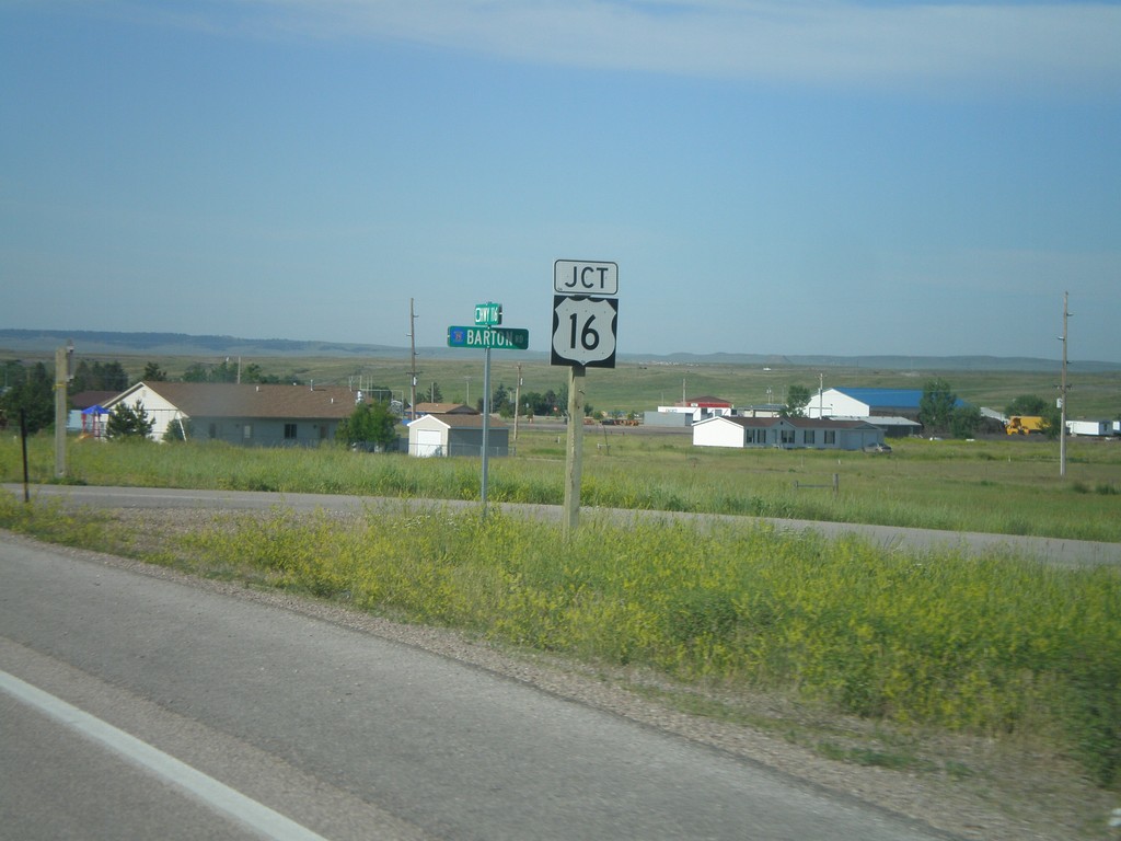
WY-116 South Approaching US-16
WY-116 south approaching US-16 in Upton, Wyoming.
Taken 07-04-2011
Upton
Weston County
Wyoming
United States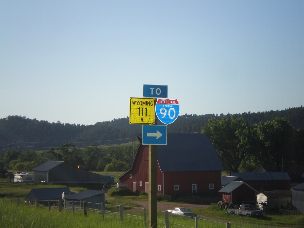
WY-24 East at WY-111 (To I-90)
WY-24 east at WY-111 to I-90.
Taken 07-04-2011


 Aladdin
Crook County
Wyoming
United States
Aladdin
Crook County
Wyoming
United States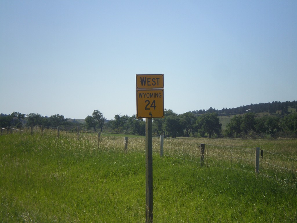
WY-24 West
WY-24 west just west of the Wyoming - South Dakota Border.
Taken 07-03-2011
Aladdin
Crook County
Wyoming
United States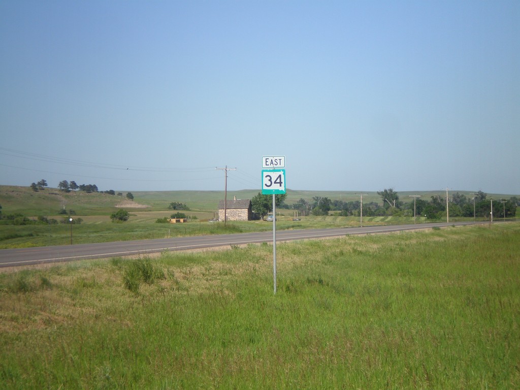
SD-34 East
SD-34 east in rural Butte County, South Dakota.
Taken 07-03-2011
 Belle Fourche
Butte County
South Dakota
United States
Belle Fourche
Butte County
South Dakota
United States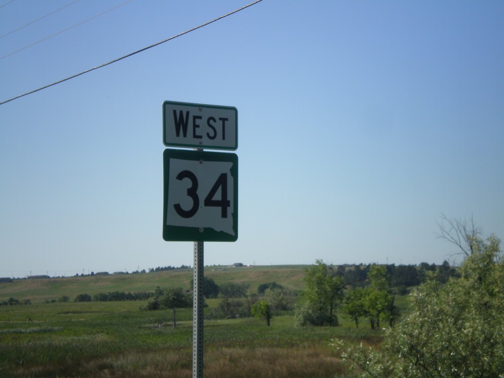
SD-34 West
SD-34 east in Belle Fourche.
Taken 07-03-2011
Belle Fourche
Butte County
South Dakota
United States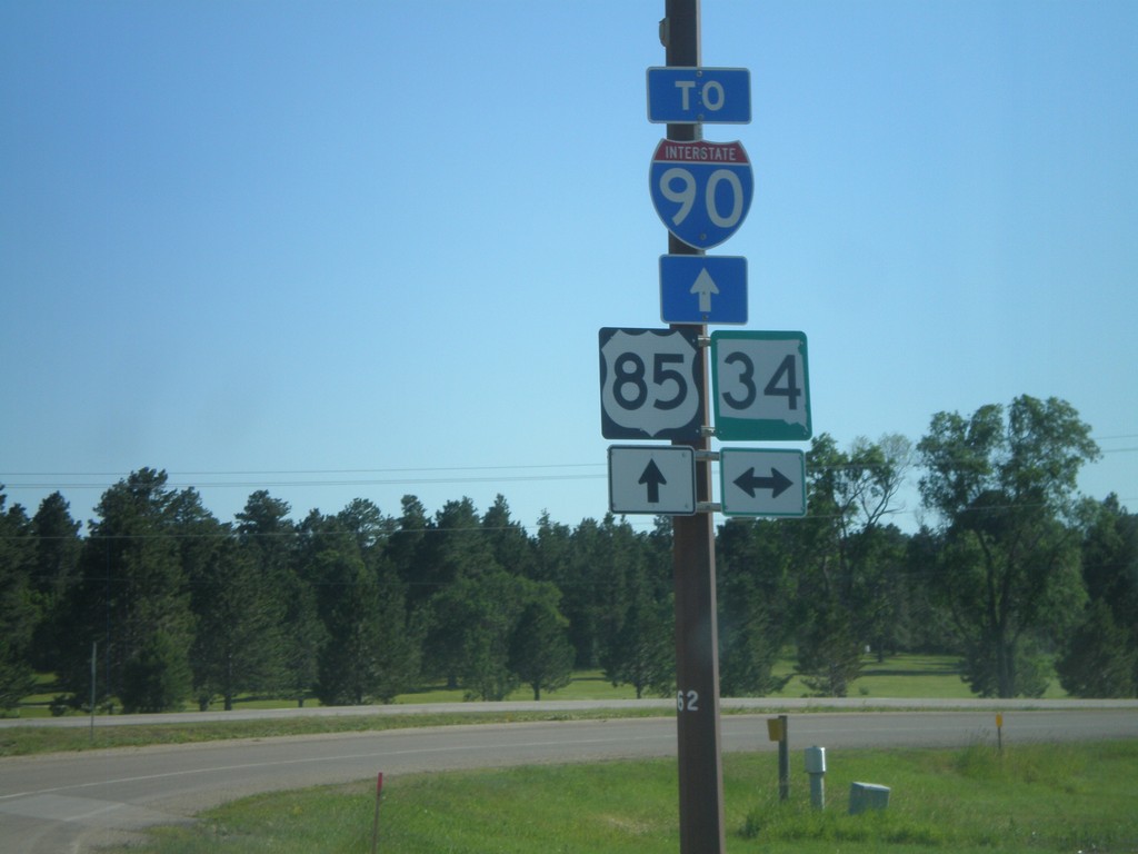
US-85 South at SD-34
US-85 South at SD-34. Continue south on US-85 for I-90 (at Spearfish).
Taken 07-03-2011
 Belle Fourche
Butte County
South Dakota
United States
Belle Fourche
Butte County
South Dakota
United States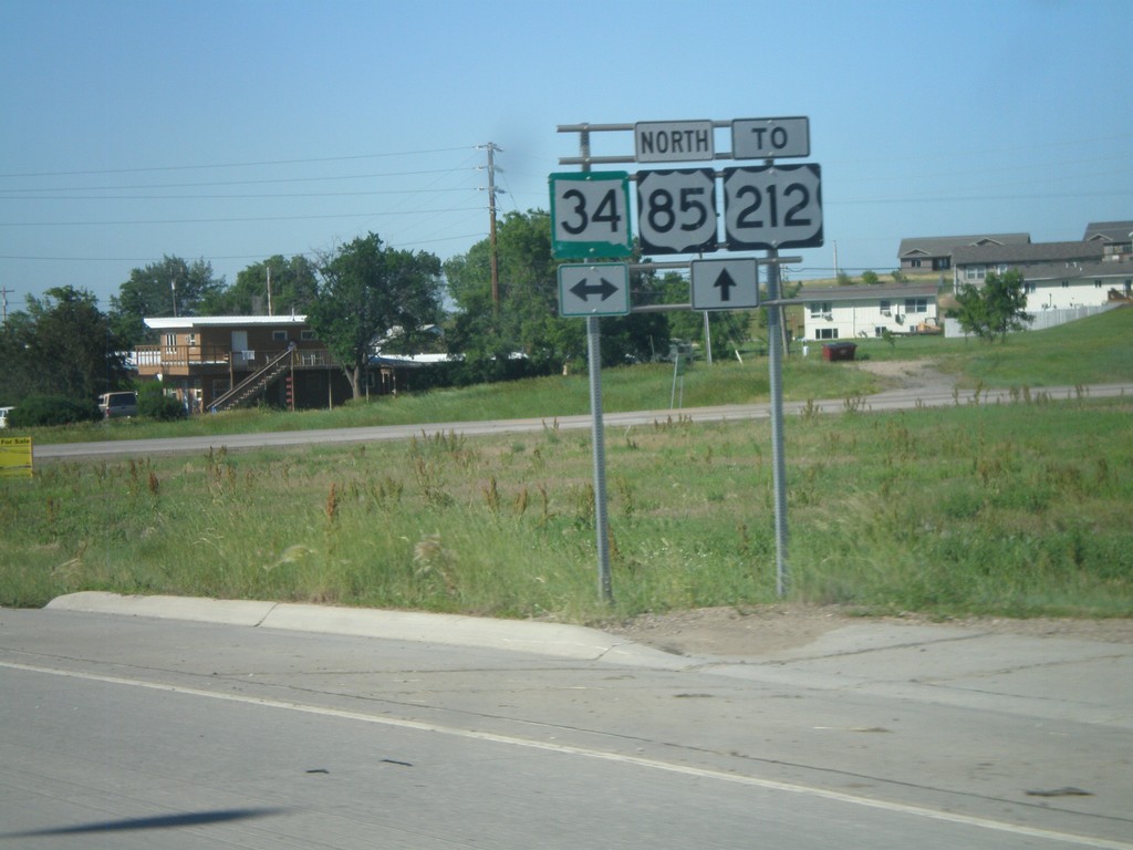
US-85 North at SD-34
US-85 North at SD-34. Continue north on US-85 for US-212 Junction.
Taken 07-03-2011
 Belle Fourche
Butte County
South Dakota
United States
Belle Fourche
Butte County
South Dakota
United States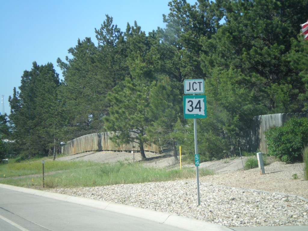
US-85 North Approaching SD-34
US-85 North approaching SD-34. Mile marker 54 is posted to the bottom of the marker.
Taken 07-03-2011
Belle Fourche
Butte County
South Dakota
United States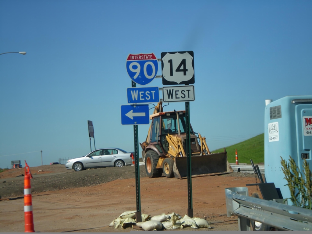
I-90/US-14 West Onramp
I-90/US-14 West onramp (Exit 10) at west end of Spearfish business loop. Turn left for I-90/US-14 west; straight for US-85 North. The Exit 10 interchange is under construction when this photo was taken.
Taken 07-03-2011

 North Spearfish
Lawrence County
South Dakota
United States
North Spearfish
Lawrence County
South Dakota
United States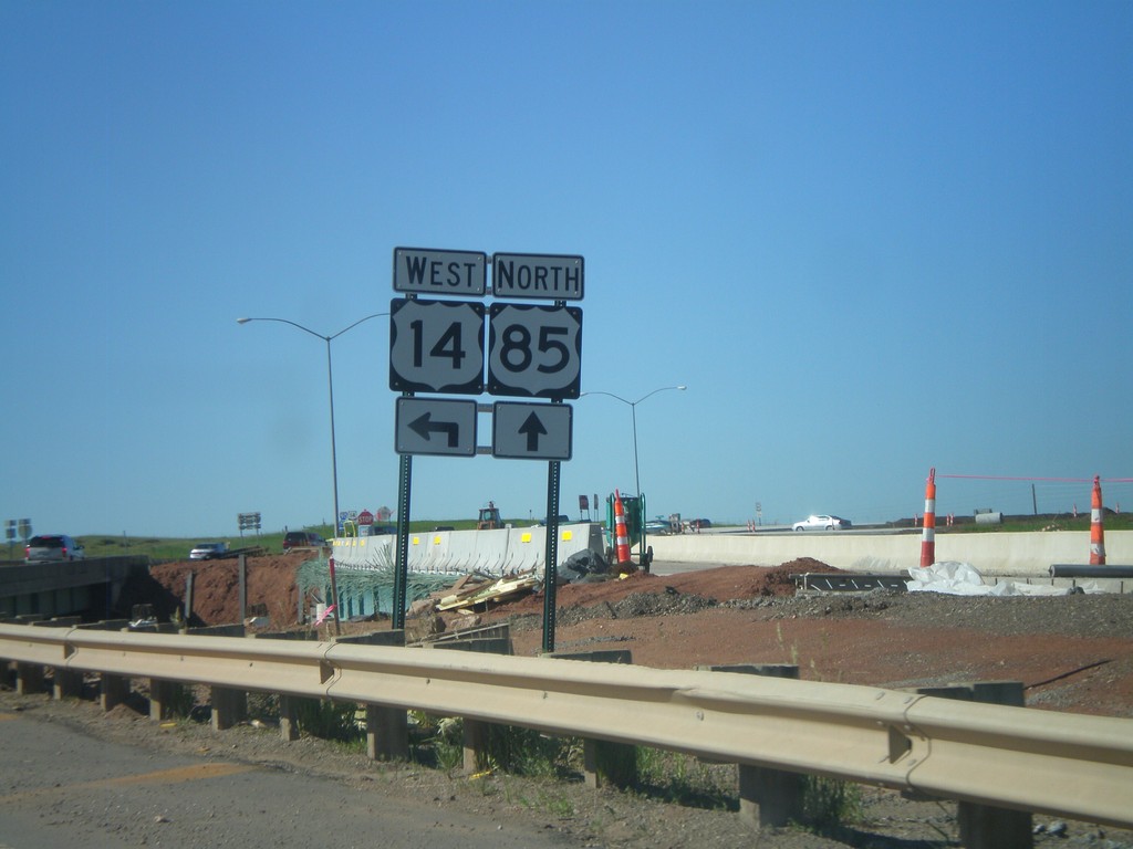
US-85 North at I-90/US-14 West
US-85 North at I-90/US-14 West (Exit 10). Turn left for US-14 and I-90 west. Interchange is currently under construction, and most of the traffic signs are temporary.
Taken 07-03-2011
Spearfish
Lawrence County
South Dakota
United States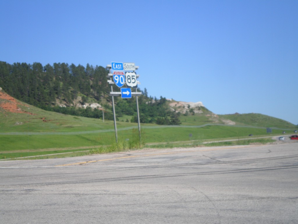
End BL-90 West at I-90
End BL-90 west at I-90/US-14 West/US-85 South Jct. Turn right for I-90/US-14 East/US-85 South.
Taken 07-03-2011
Spearfish
Lawrence County
South Dakota
United States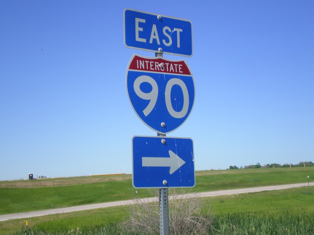
I-90 East Onramp
I-90 east onramp at Exit 2, in rural Lawrence County, South Dakota.
Taken 07-03-2011
Spearfish
Lawrence County
South Dakota
United States