Signs Tagged With Shield
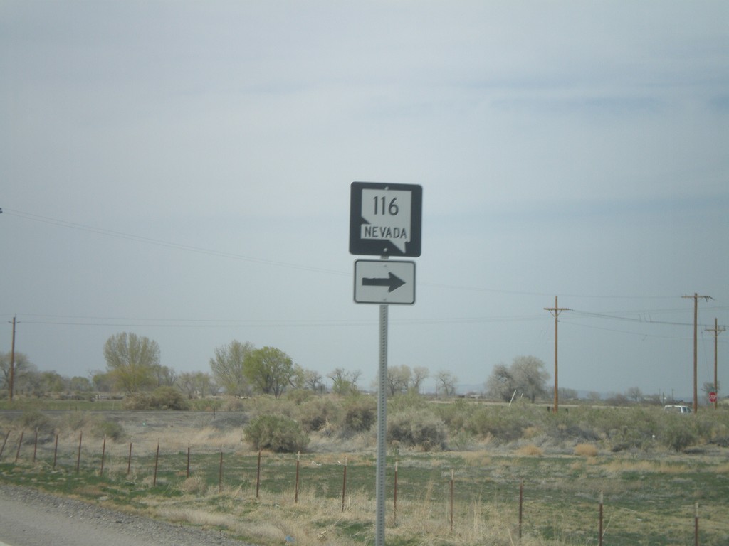
US-50 West Approaching NV-116
US-50 west approaching NV-116
Taken 04-15-2010

 Fallon
Churchill County
Nevada
United States
Fallon
Churchill County
Nevada
United States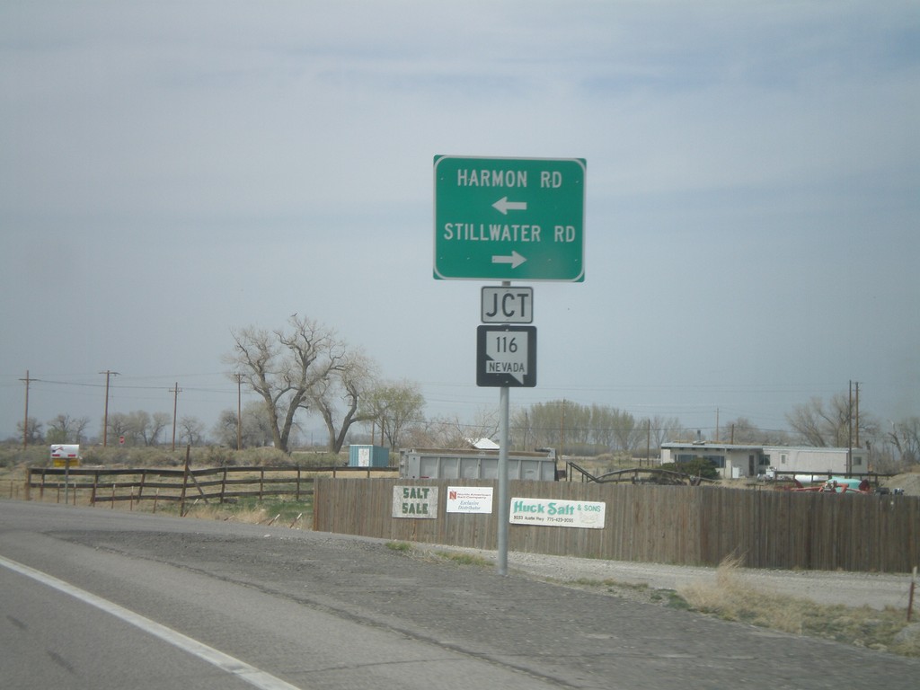
US-50 West at NV-116
US-50 west at NV-116 - Stillwater Road and Harmon Road.
Taken 04-15-2010
Fallon
Churchill County
Nevada
United States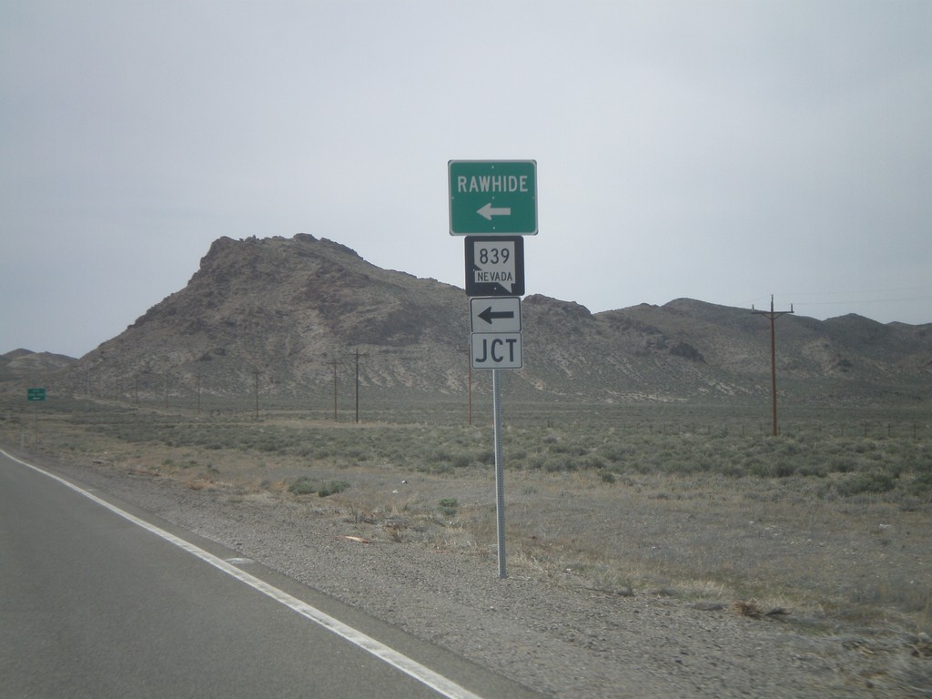
US-50 West at NV-839
US-50 west at NV-839 south to Rawhide.
Taken 04-15-2010
 Fallon
Churchill County
Nevada
United States
Fallon
Churchill County
Nevada
United States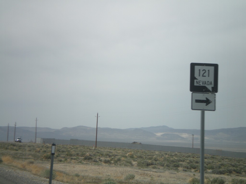
US-50 West Approaching NV-121
US-50 west approaching NV-121
Taken 04-15-2010
 Fallon
Churchill County
Nevada
United States
Fallon
Churchill County
Nevada
United States
US-50 West at NV-722 West
US-50 west at NV-722 west
Taken 04-15-2010
 Austin
Lander County
Nevada
United States
Austin
Lander County
Nevada
United States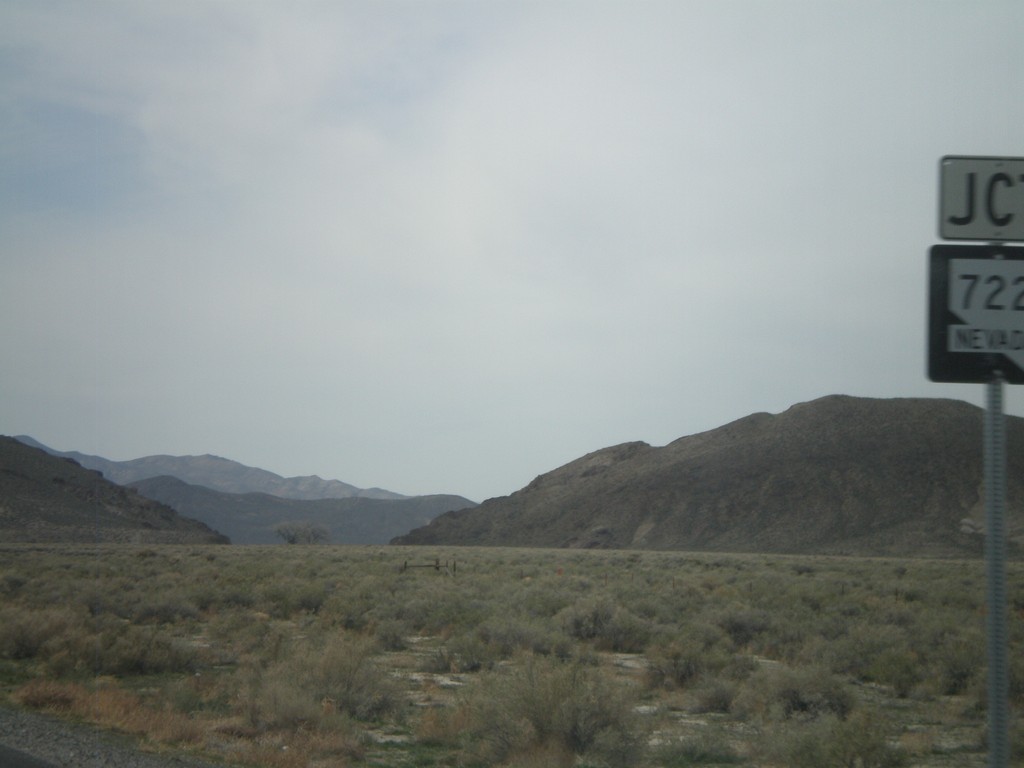
US-50 West Approaching NV-722
US-50 west approaching NV-722
Taken 04-15-2010
Fallon
Churchill County
Nevada
United States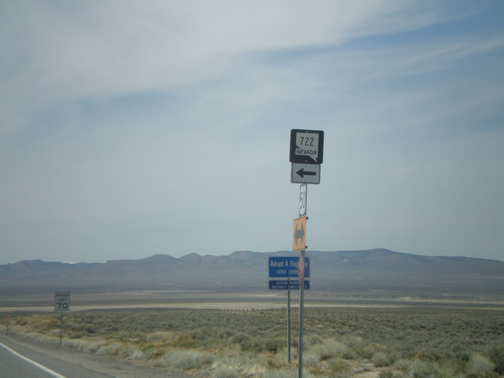
US-50 West at NV-722 East
US-50 west at NV-722 east
Taken 04-15-2010
Middlegate
Churchill County
Nevada
United States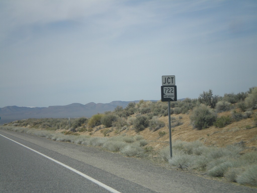
US-50 West Approaching NV-722
US-50 west approaching NV-722
Taken 04-15-2010
Austin
Lander County
Nevada
United States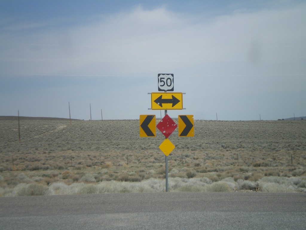
End NV-376 North at US-50
End NV-376 north at US-50
Taken 04-15-2010
 Austin
Lander County
Nevada
United States
Austin
Lander County
Nevada
United States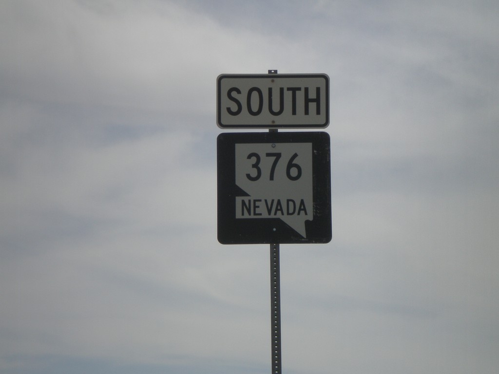
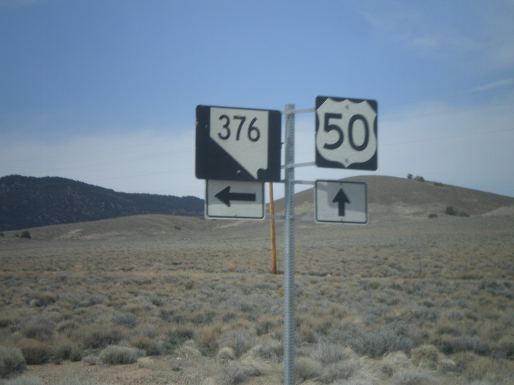
US-50 West approaching NV-376
US-50 west approaching NV-376
Taken 04-15-2010
Austin
Lander County
Nevada
United States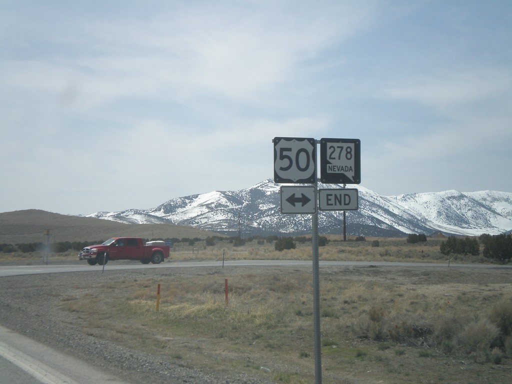
NV-278 South Approaching US-50
NV-278 south approaching US-50
Taken 04-15-2010
 Eureka
 County
Nevada
United States
Eureka
Eureka County
Nevada
United States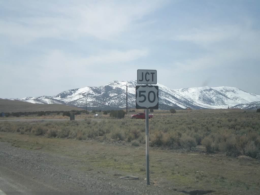
Jct. US-50 On NV-278 South
Jct. US-50 on NV-278 South
Taken 04-15-2010
Eureka
Eureka County
Nevada
United States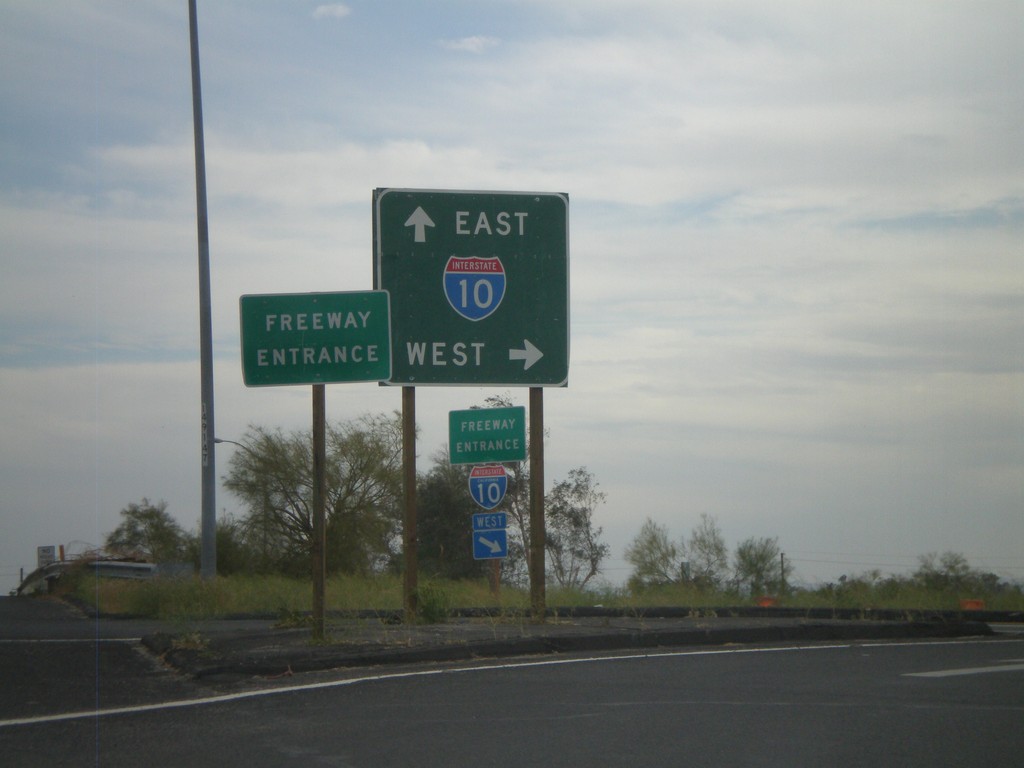
Neighbors Blvd. South at I-10
Neighbors Blvd. south at I-10. BL-10 ends here and CA-78 begins.
Taken 03-22-2010


 Blythe
Riverside County
California
United States
Blythe
Riverside County
California
United States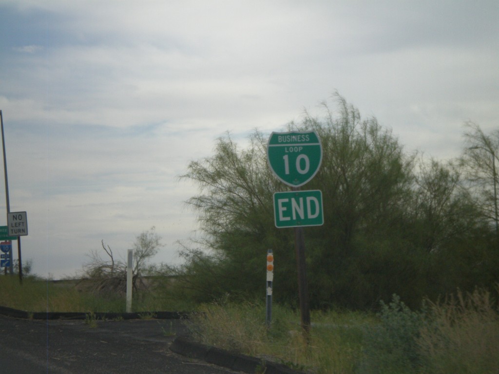
End I-10 Business at I-10 and CA-78
Western end of I-10 Blythe business loop at I-10 on Neighbors Blvd. Neighbors Blvd. continues south as CA-78.
Taken 03-22-2010
Blythe
Riverside County
California
United States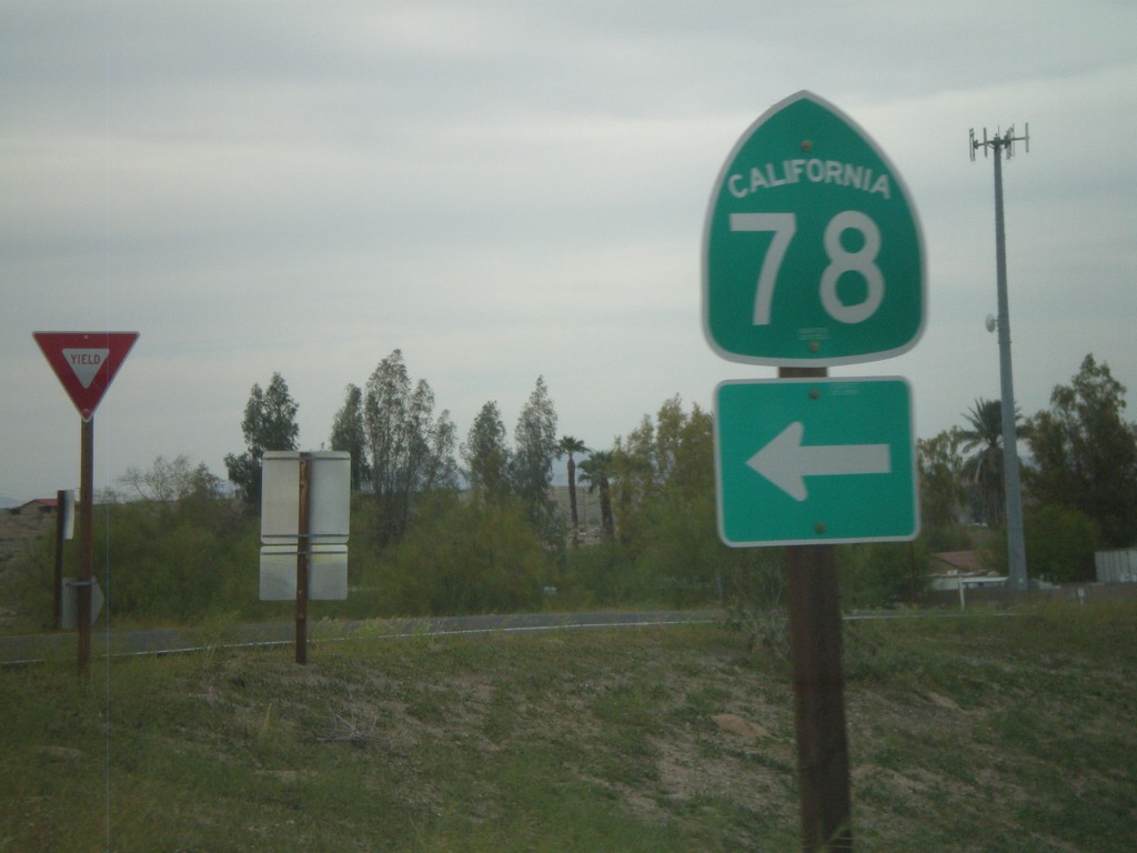
I-10 West Exit 236 Offramp at CA-78
I-10 west Exit 236 offramp at CA-78. CA-78 heads southwest to the Imperial Valley and eventually Oceanside. This is also the western end of the Blythe I-10 Business Loop.
Taken 03-22-2010
Blythe
Riverside County
California
United States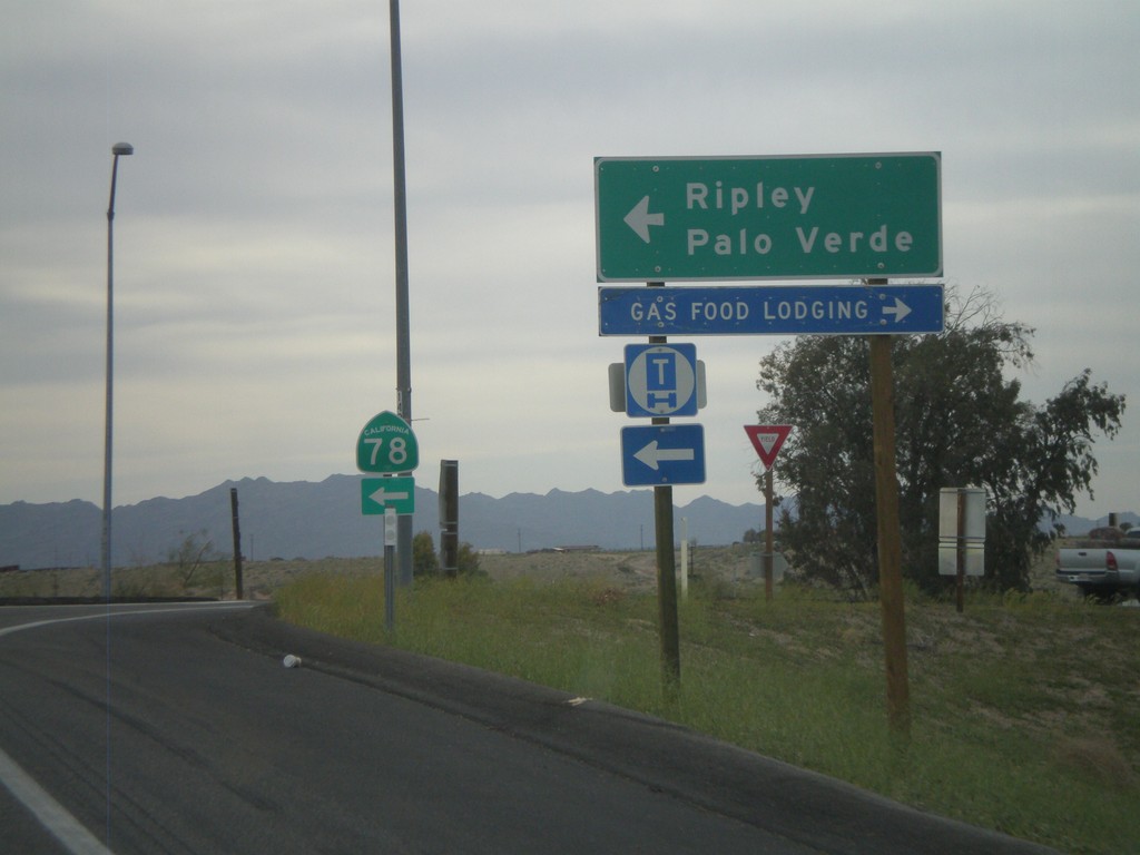
I-10 West Exit 236 Offramp at CA-78
I-10 west at Exit 236 at CA-78 to Palo Verde and Ripley.
Taken 03-22-2010
Blythe
Riverside County
California
United States
I-10 West/US-95 North
I-10 west/US-95 north. Taken west of Quartzsite.
Taken 03-22-2010
 Quartzsite
La Paz County
Arizona
United States
Quartzsite
La Paz County
Arizona
United States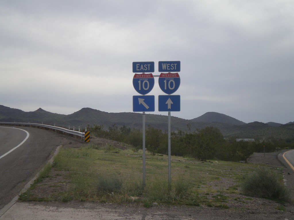
End US-60 West at I-10
End US-60 west at I-10 Exit 31 onramp.
Taken 03-22-2010
 Brenda
La Paz County
Arizona
United States
Brenda
La Paz County
Arizona
United States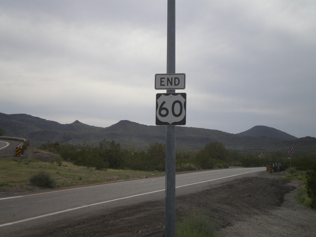
End US-60 West at I-10
Western end of US-60 at I-10. The eastern end of US-60 is in Virginia Beach, Virginia.
Taken 03-22-2010
Brenda
La Paz County
Arizona
United States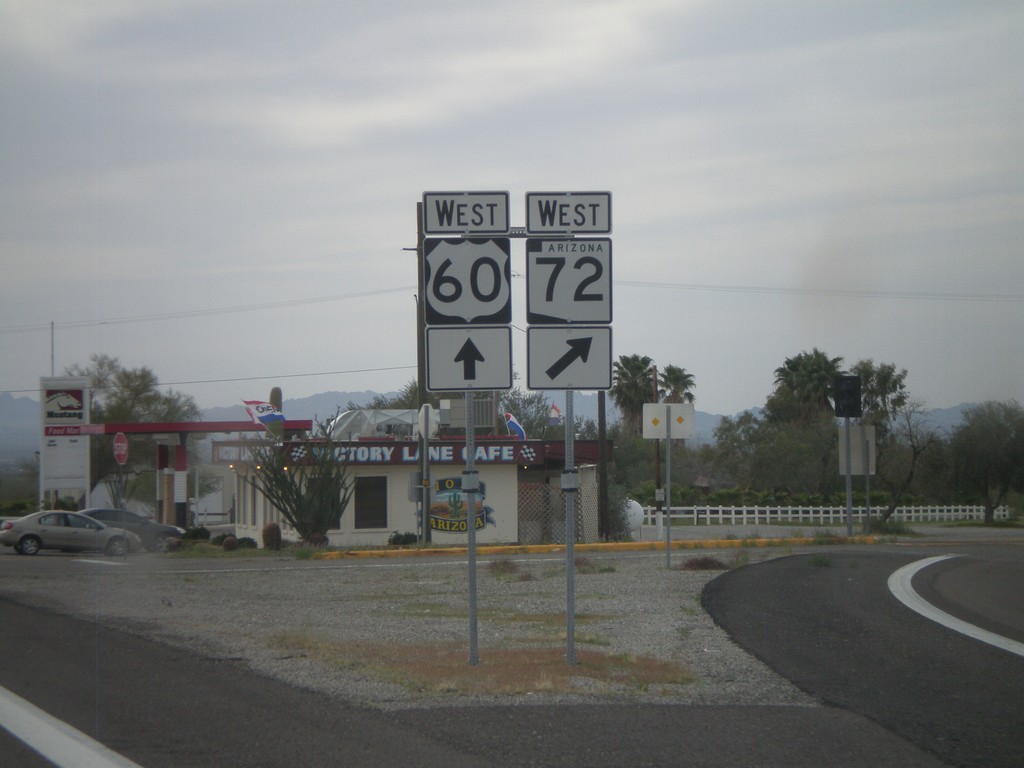
US-60 West at AZ-72 West
US-60 west at AZ-72 west. AZ-72 runs northwest to Parker.
Taken 03-22-2010
 Salome
La Paz County
Arizona
United States
Salome
La Paz County
Arizona
United States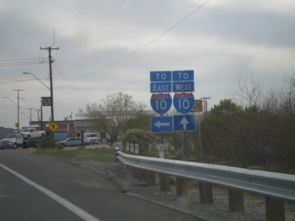
US-60 West Approaching Navajo St.
US-60 west approaching Navajo St. (to Salome Road). For I-10 east traffic turn left on Navajo St. For I-10 west traffic continue west on US-60.
Taken 03-22-2010
Salome
La Paz County
Arizona
United States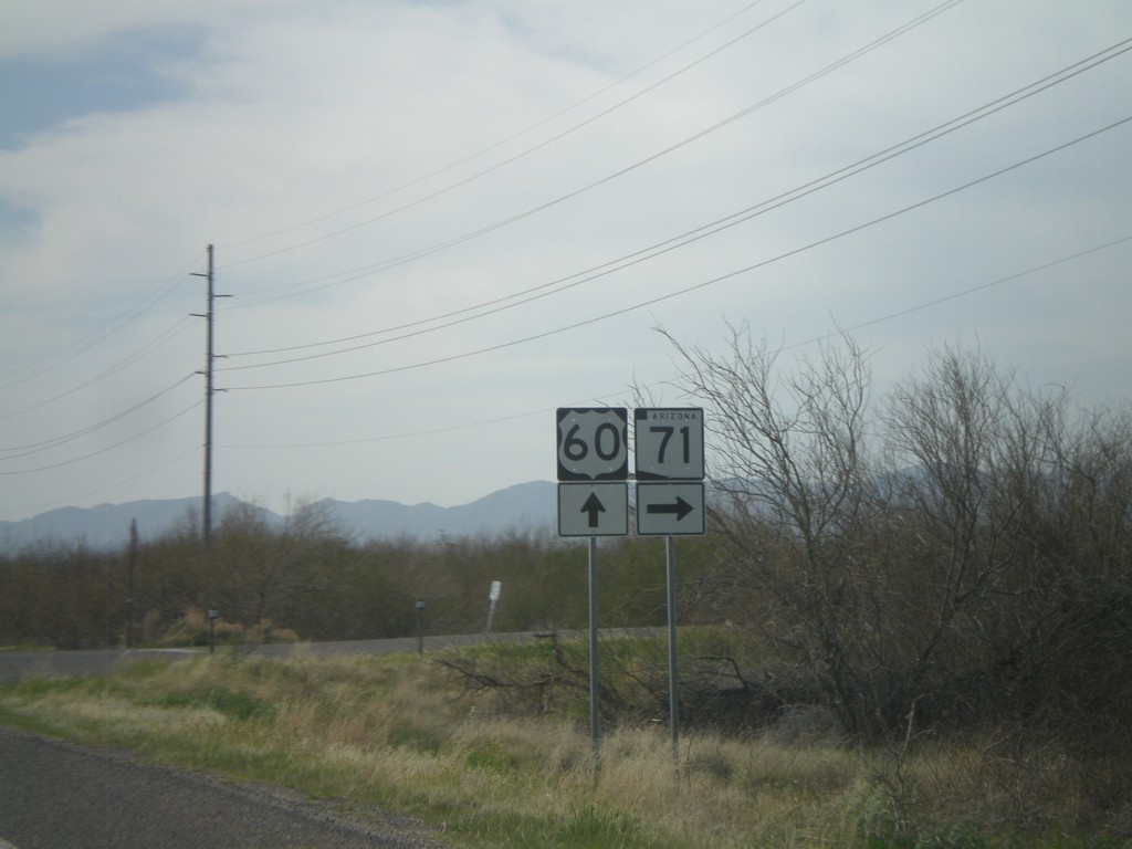

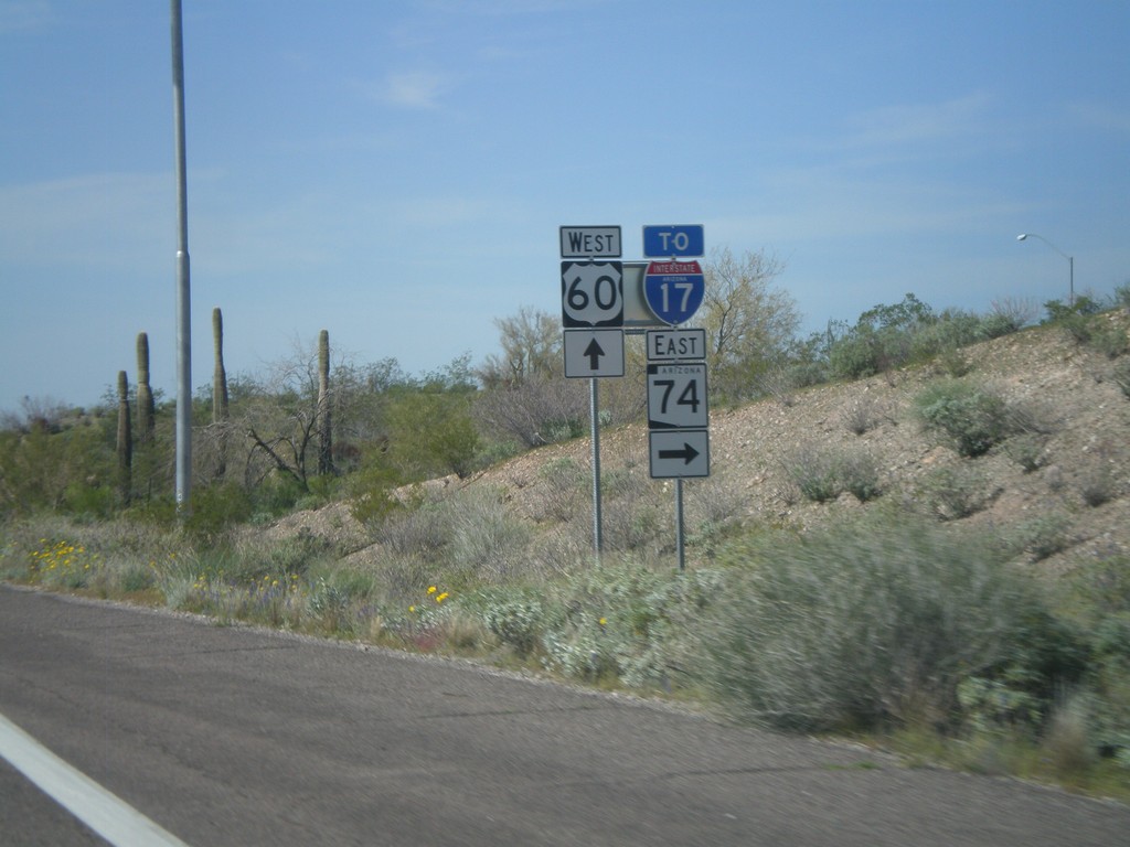
US-60 West at AZ-74/To I-17
US-60 west at AZ-74 East/To I-17. Use AZ-74 east to connect to I-17 at the north edge of the Phoenix Metro. area.
Taken 03-22-2010

 Morristown
Maricopa County
Arizona
United States
Morristown
Maricopa County
Arizona
United States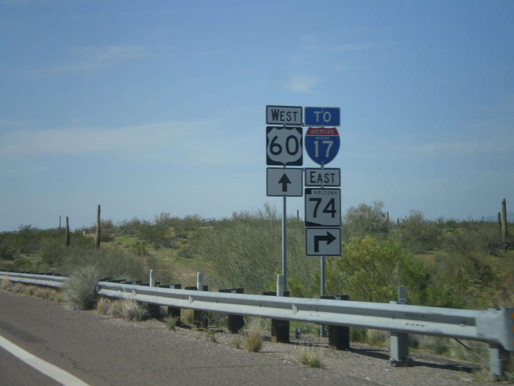
US-60 West Approaching AZ-74
US-60 west approaching AZ-74, To I-17. AZ-74 cuts across the north end of the Phoenix Metropolitan Area between US-60 on the west to I-17 on the east.
Taken 03-22-2010
Morristown
Maricopa County
Arizona
United States