Signs Tagged With Shield
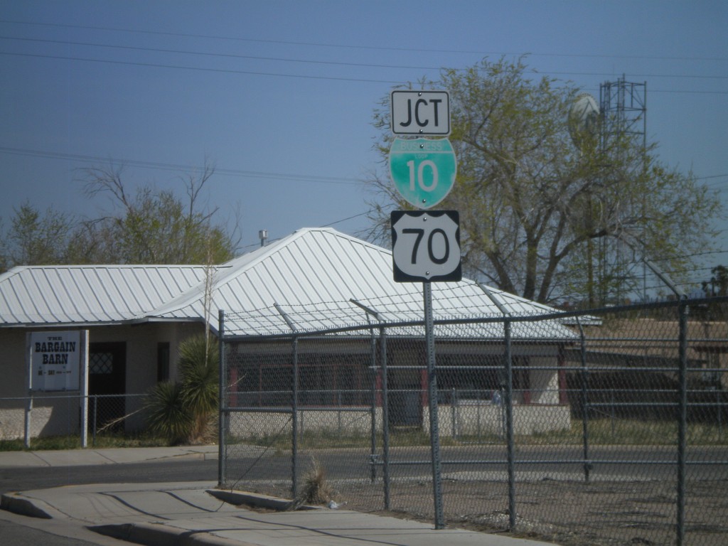
NM-494 North Approaching BL-10/US-70
NM-494 north approaching BL-10 and US-70.
Taken 03-21-2010


 Lordsburg
Hidalgo County
New Mexico
United States
Lordsburg
Hidalgo County
New Mexico
United States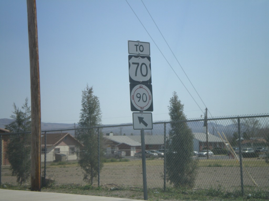
NM-494 North To US-70/NM-90
NM-494 north to US-70/NM-90 in Lordsburg.
Taken 03-21-2010
 Lordsburg
Hidalgo County
New Mexico
United States
Lordsburg
Hidalgo County
New Mexico
United States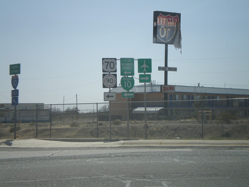
I-10 East at Exit 22 Offramp
I-10 east at Exit 22 offramp at NM-494 junction. Use NM-494 north for BL-10/US-70/NM-90.
Taken 03-21-2010
 Lordsburg
Hidalgo County
New Mexico
United States
Lordsburg
Hidalgo County
New Mexico
United States
NM-338 North at I-10
NM-338 north at I-10. NM-338 north ends here.
Taken 03-21-2010
 Roadforks
Hidalgo County
New Mexico
United States
Roadforks
Hidalgo County
New Mexico
United States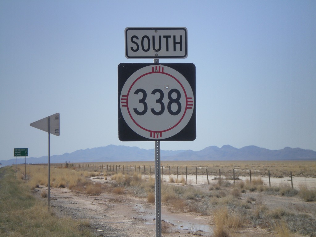
NM-338 South
NM-338 south. In the background there is a distance marker to Cotton City, Animas, and Playas.
Taken 03-21-2010
Animas
Hidalgo County
New Mexico
United States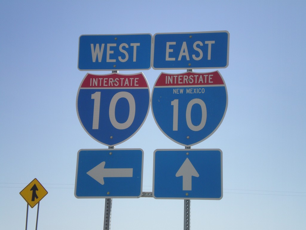
I-10 Onramp at Exit 3
I-10 onramp at Exit 3. One of the I-10 shields as the state name in it.
Taken 03-21-2010
Steins
Hidalgo County
New Mexico
United States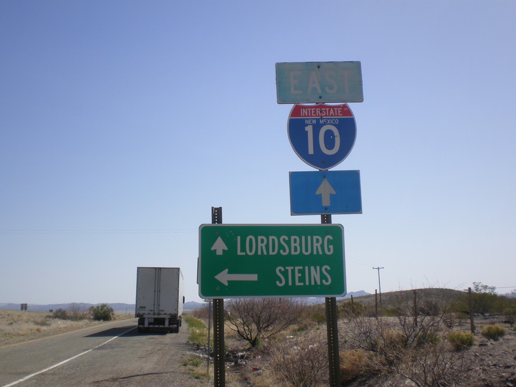
I-10 East at Exit 3 Offramp
I-10 east at Exit 3 offramp. Turn left for Steins. Continue ahead for I-10 east to Lordsburg.
Taken 03-21-2010
Road Forks
Hidalgo County
New Mexico
United States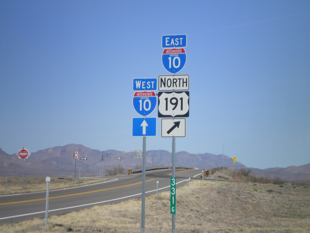
US-191 North at I-10
US-191 north at I-10, Exit 331 onramp. US-191 joins I-10 eastbound.
Taken 03-21-2010
 Cochise
 County
Arizona
United States
Cochise
Cochise County
Arizona
United States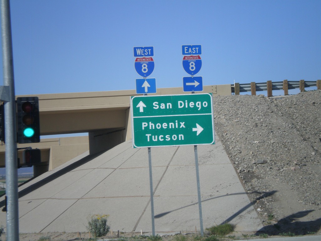
AZ-280 North at I-8
AZ-280 north at I-8. Use I-8 west for San Diego. Use I-8 east for Phoenix and Tucson.
Taken 03-20-2010

 Yuma
Yuma County
Arizona
United States
Yuma
Yuma County
Arizona
United States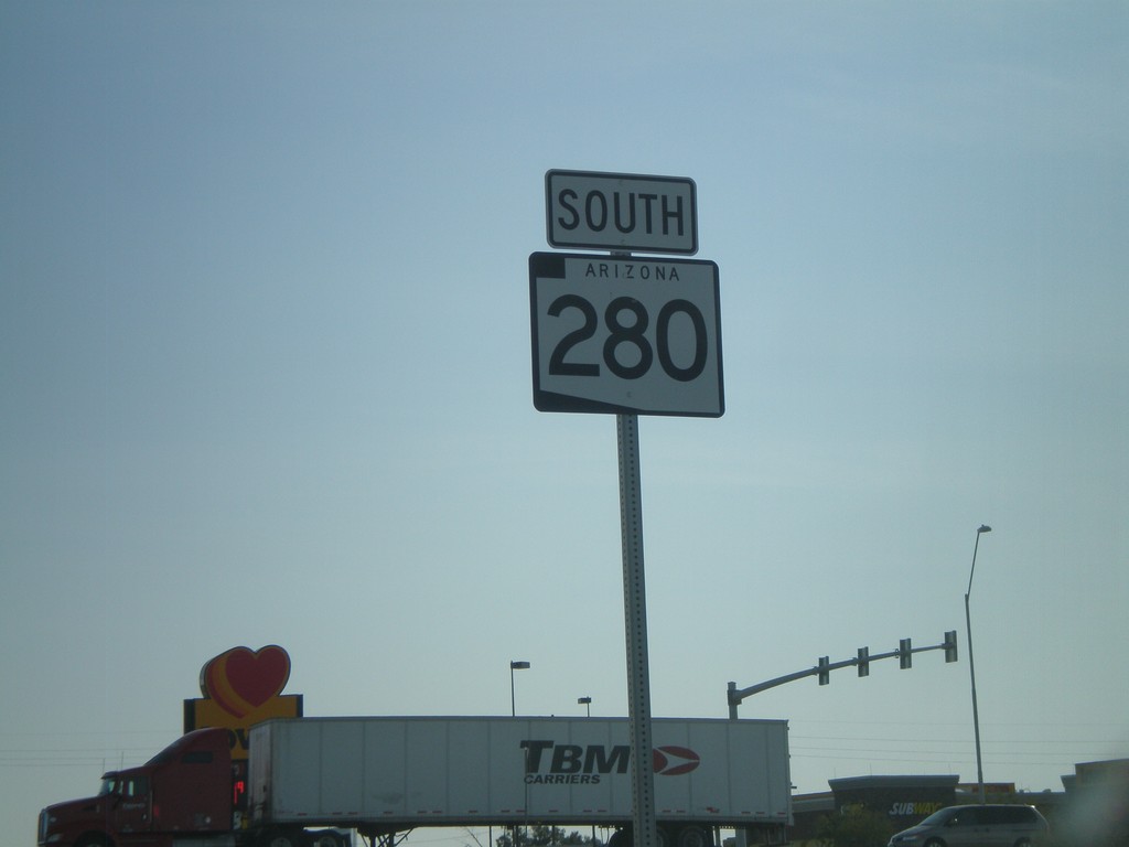
AZ-280 South
AZ-280 south along Ave 3E in Yuma.
Taken 03-20-2010
Yuma
Yuma County
Arizona
United States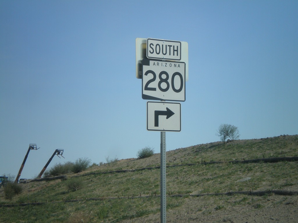
I-8 East Exit 3 Offramp at AZ-280
I-8 east Exit 3 offramp at AZ-280 south.
Taken 03-20-2010
Yuma
Yuma County
Arizona
United States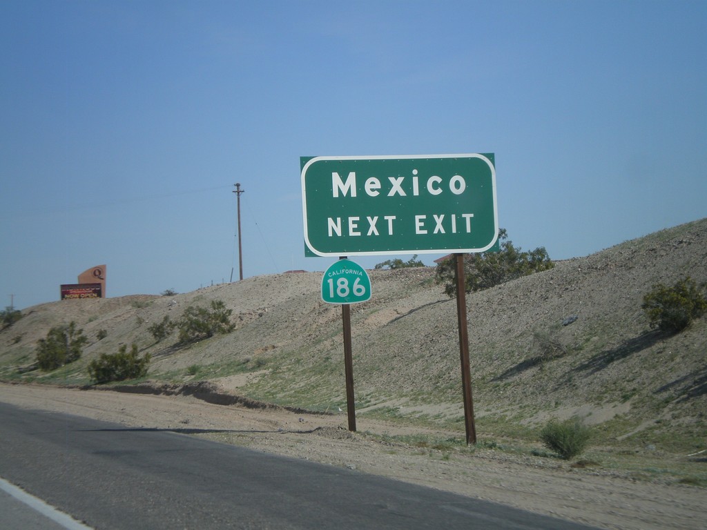
I-8 East Approaching Exit 166
I-8 east approaching Exit 166. Use Exit 166 for CA-186 to Mexico.
Taken 03-20-2010
 Winterhaven
Imperial County
California
United States
Winterhaven
Imperial County
California
United States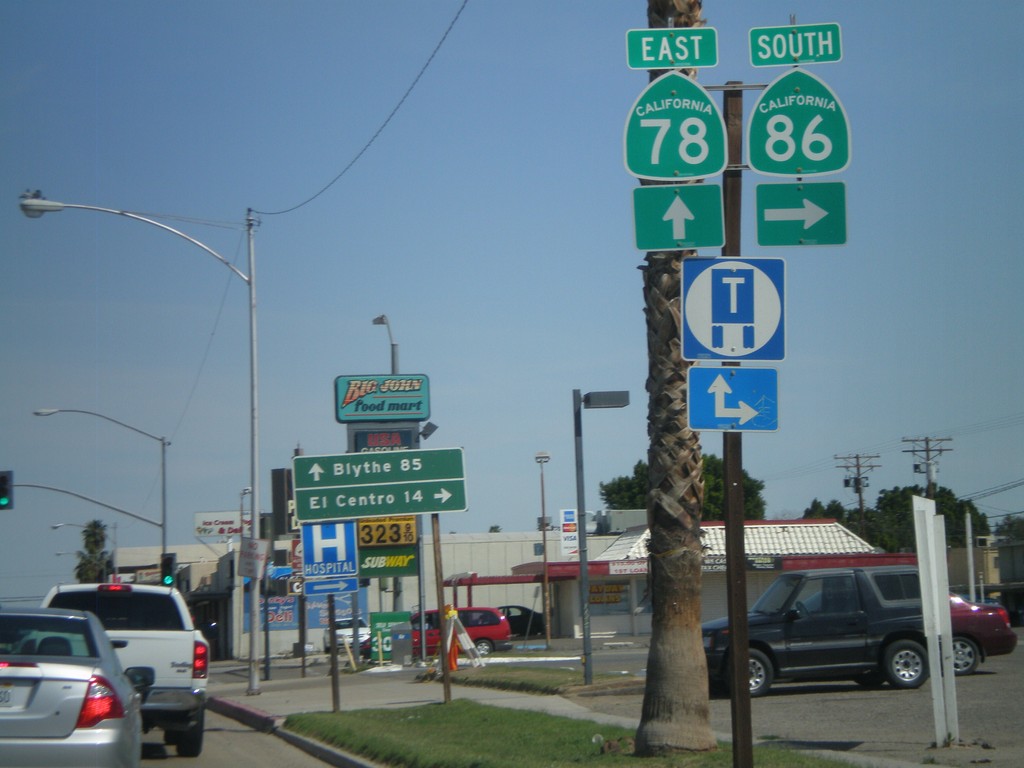
CA-78 East/CA-86 South at Split
CA-78 East/CA-86 South at Split. Turn right for CA-86 south to El Centro. Continue east on CA-78 for Blythe.
Taken 03-20-2010

 Brawley
Imperial County
California
United States
Brawley
Imperial County
California
United States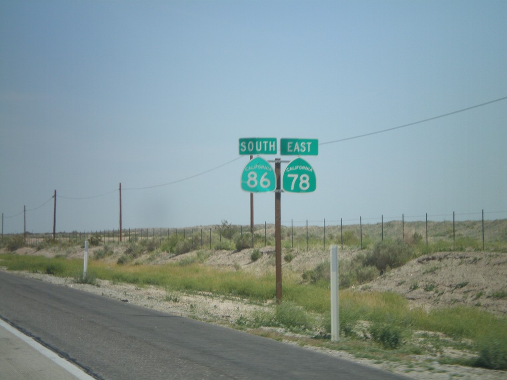
CA-78 East/CA-86 South
CA-78 East/CA-86 South
Taken 03-20-2010
Borrego Springs
Imperial County
California
United States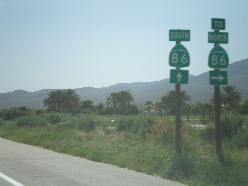
End CA-86S South at CA-86
End CA-86S South at CA-86. Turn right for CA-86 north. Continue ahead for CA-86 south.
Taken 03-20-2010
 Thermal
Riverside County
California
United States
Thermal
Riverside County
California
United States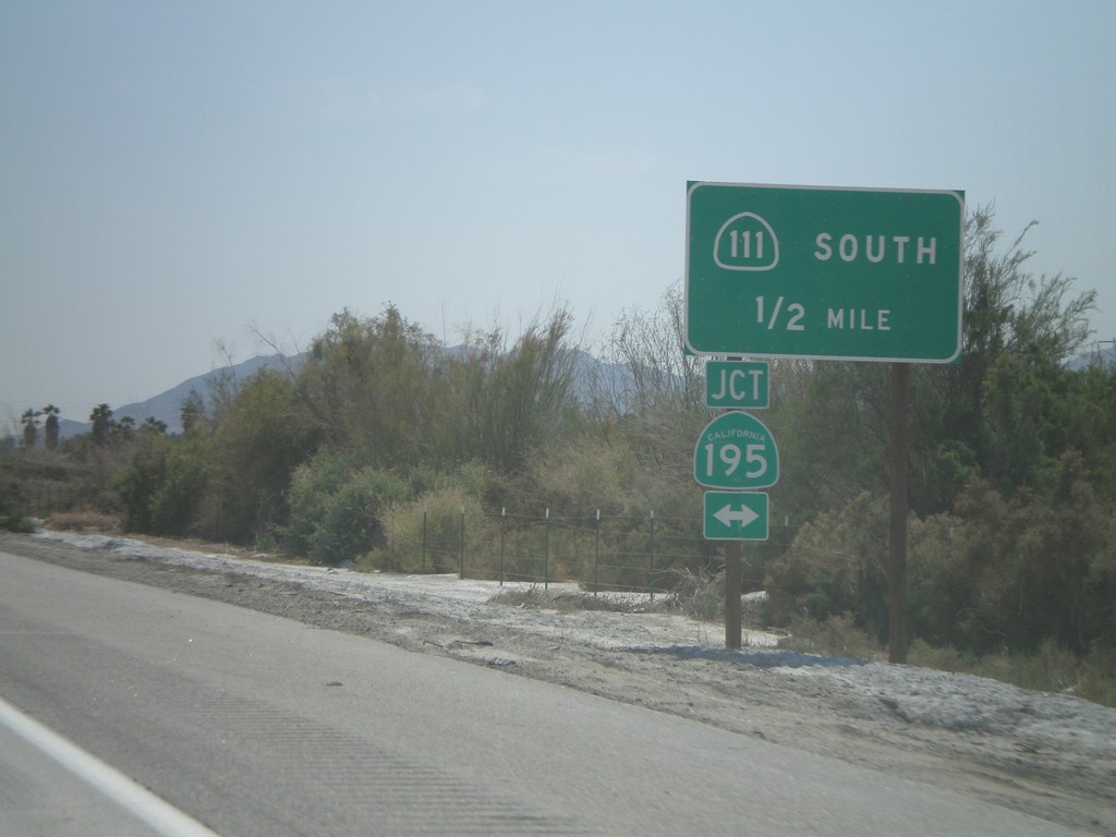
CA-86S South Approaching CA-195 To CA-111
CA-86S South approaching CA-195 to CA-111 South.
Taken 03-20-2010

 Mecca
Riverside County
California
United States
Mecca
Riverside County
California
United States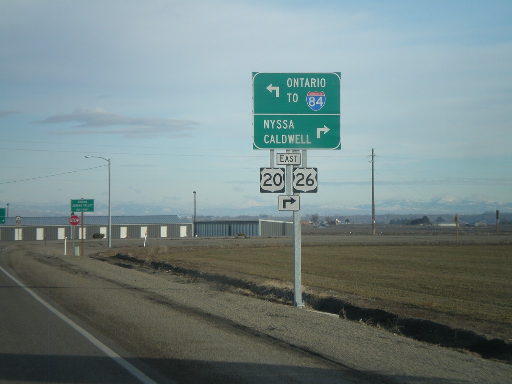
US-20/US-26 East at OR-201
US-20/US-26 east at OR-201. Use OR-201 South/US-20 East/US-26 East to Nyssa and Caldwell (ID). Use OR-201 North for Ontario and I-84.
Taken 01-18-2010


 Ontario
Malheur County
Oregon
United States
Ontario
Malheur County
Oregon
United States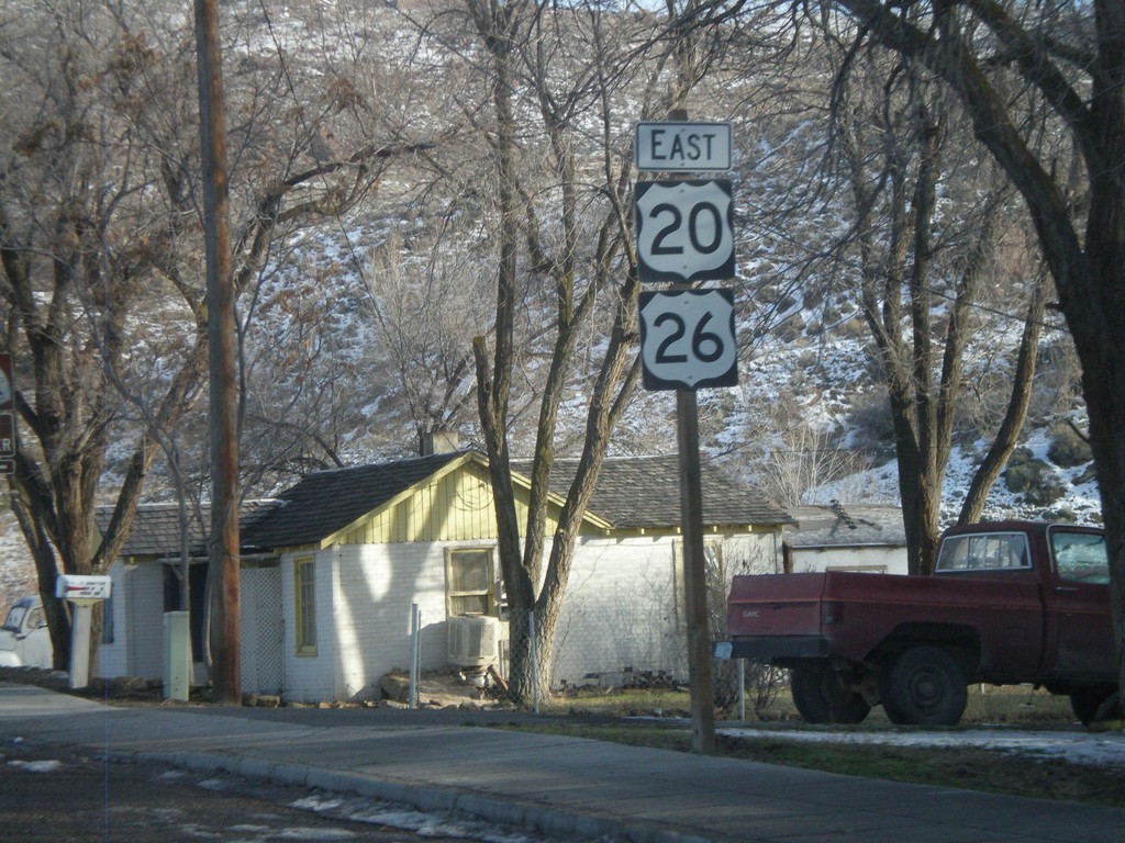
US-20/US-26 East in Vale
US-20/US-26 east in Vale.
Taken 01-18-2010
Vale
Malheur County
Oregon
United States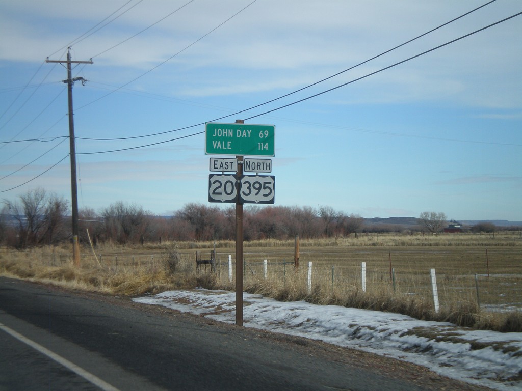
US-20 East/US-395 North - Distance Marker
Distance marker on US-20 East/US-395 north to John Day and Vale.
Taken 01-18-2010
 Burns
Harney County
Oregon
United States
Burns
Harney County
Oregon
United States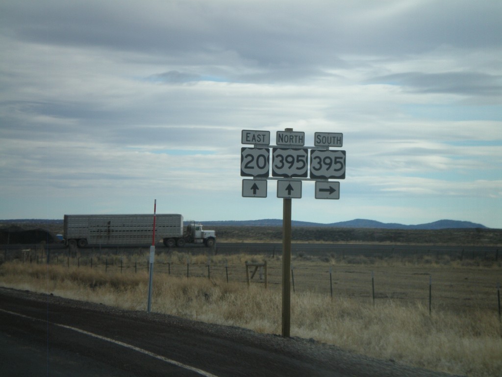
US-20 West at US-395 South
US-20 east at US-395. US-395 joins US-20 east through Burns.
Taken 01-18-2010
Riley
Harney County
Oregon
United States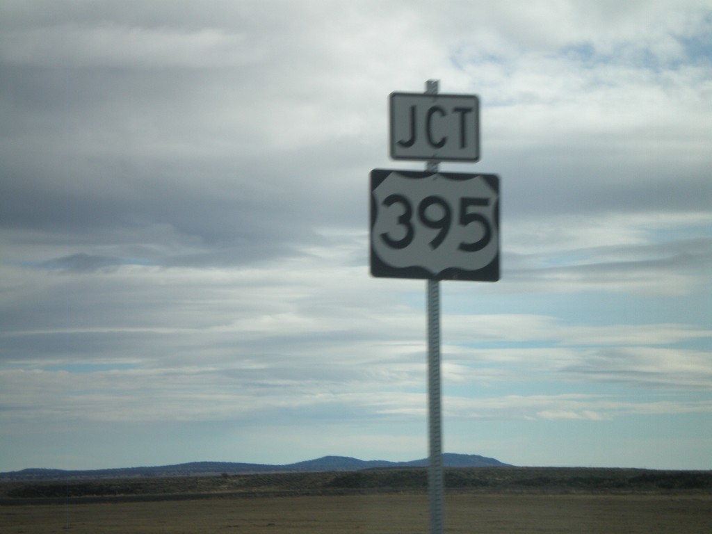
US-20 East Approaching US-395
US-20 east approaching US-395
Taken 01-18-2010
Riley
Harney County
Oregon
United States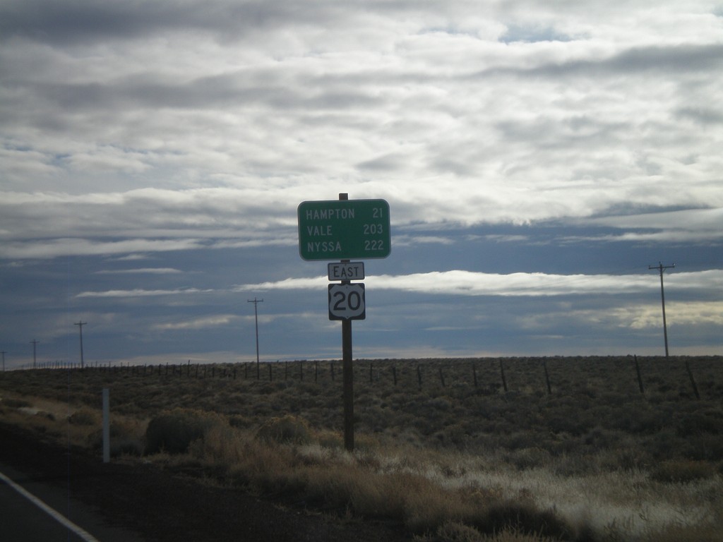
US-20 East - Brothers
Distance marker on US-20 east outside of Brothers. Distance to Hampton, Vale, and Nyssa.
Taken 01-18-2010
Brothers
Deschutes County
Oregon
United States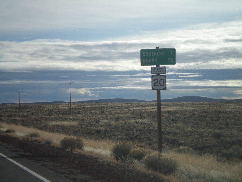
US-20 East - Distance Marker
Distance marker on US-20 east to Brothers and Burns.
Taken 01-18-2010
Brothers
Deschutes County
Oregon
United States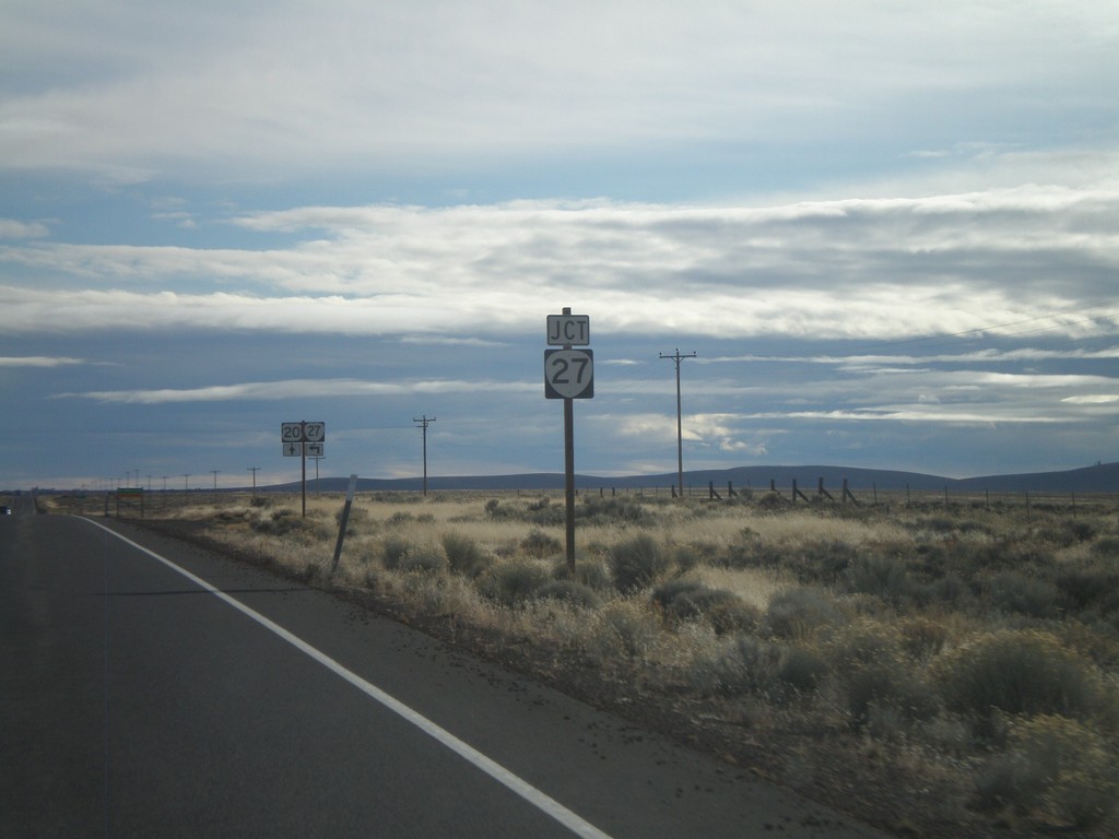
US-20 East Approaching OR-27
US-20 east approaching OR-27 north.
Taken 01-18-2010
 Prineville
Deschutes County
Oregon
United States
Prineville
Deschutes County
Oregon
United States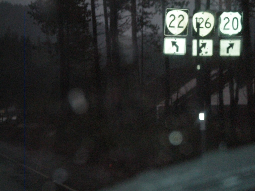
US-20/OR-126 West at OR-22
US-20 East/OR-126 East at OR-22 west. This is the western base of Santiam Pass.
Taken 01-17-2010

 Sisters
Linn County
Oregon
United States
Sisters
Linn County
Oregon
United States