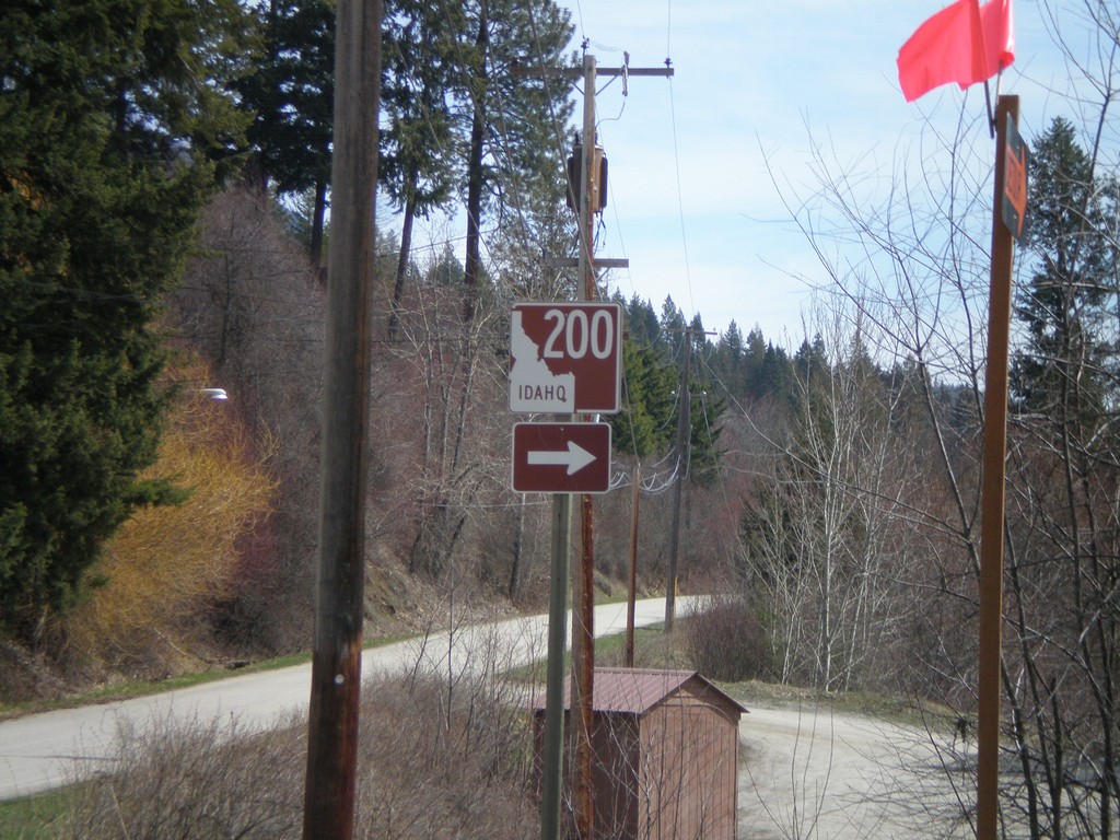
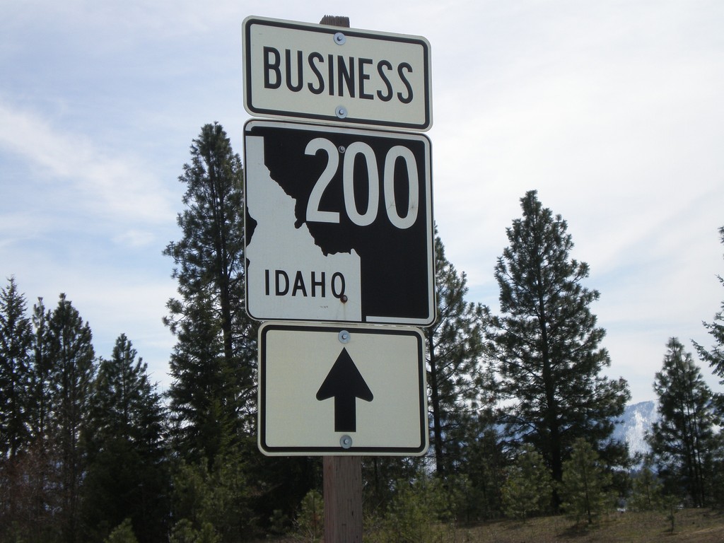
Signs Tagged With Shield
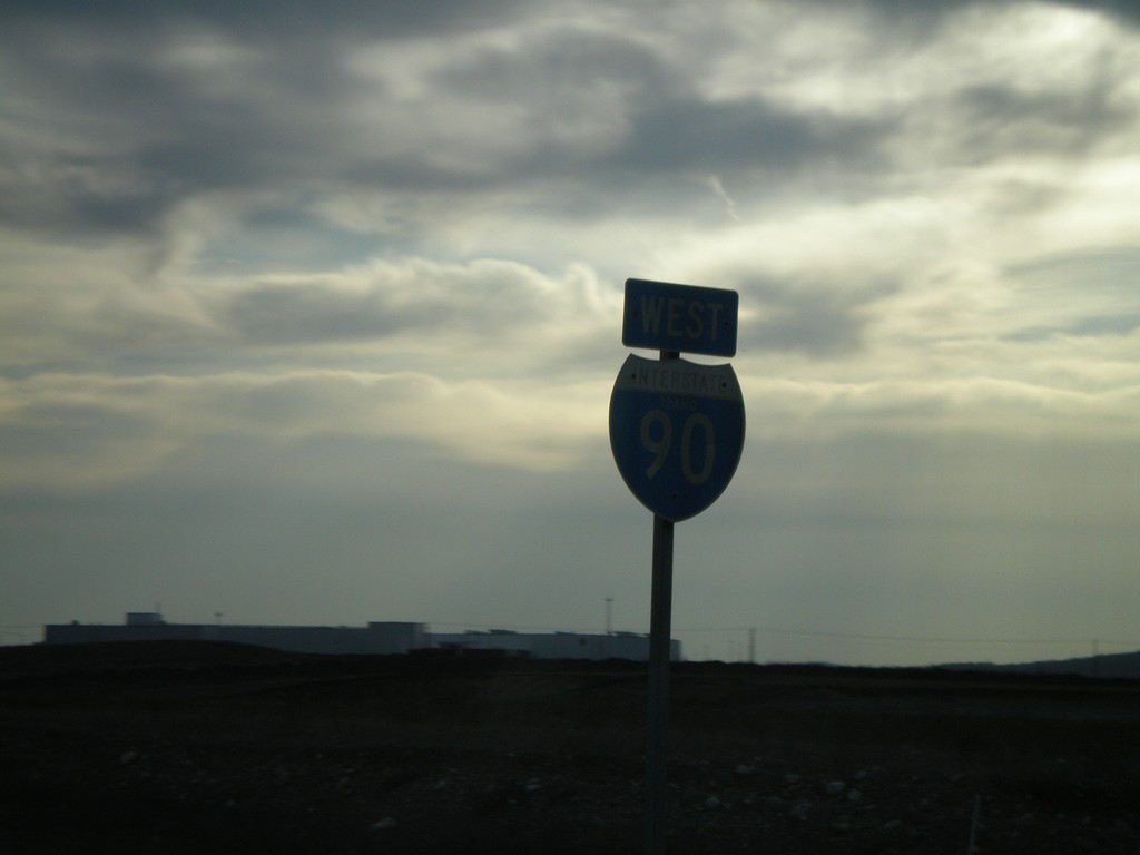
I-90 West - Idaho
I-90 West Idaho shield just east of Exit 2. This is the only I-90 shield with the word "Idaho" in it on the freeway.
Taken 04-13-2008
 Post Falls
Kootenai County
Idaho
United States
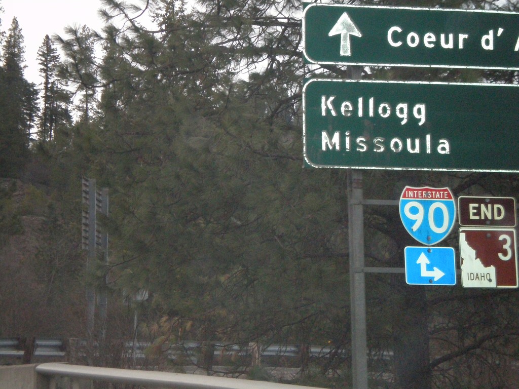
End ID-3 at I-90
End ID-3 north at I-90 east to Kellogg and Missoula.
Taken 04-13-2008

 Cataldo
Kootenai County
Idaho
United States
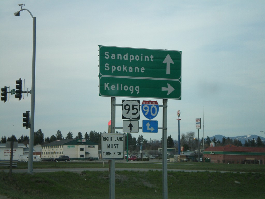
US-95 North at I-90 East
US-95 north at I-90 east to Kellogg. US-95 north continues to Sandpoint, and I-90 west to Spokane.
Taken 04-13-2008

 Coeur d'Alene
Kootenai County
Idaho
United States
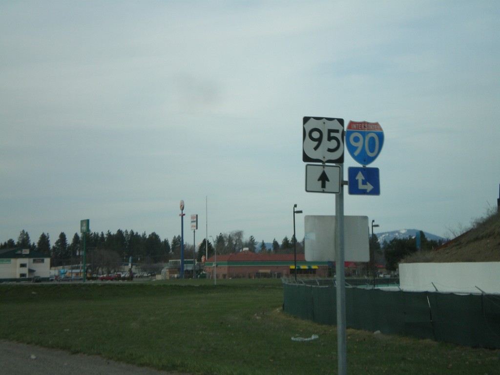
US-95 North Approaching I-90
US-95 north approaching I-90 Exit 12 interchange.
Taken 04-13-2008

 Coeur d'Alene
Kootenai County
Idaho
United States
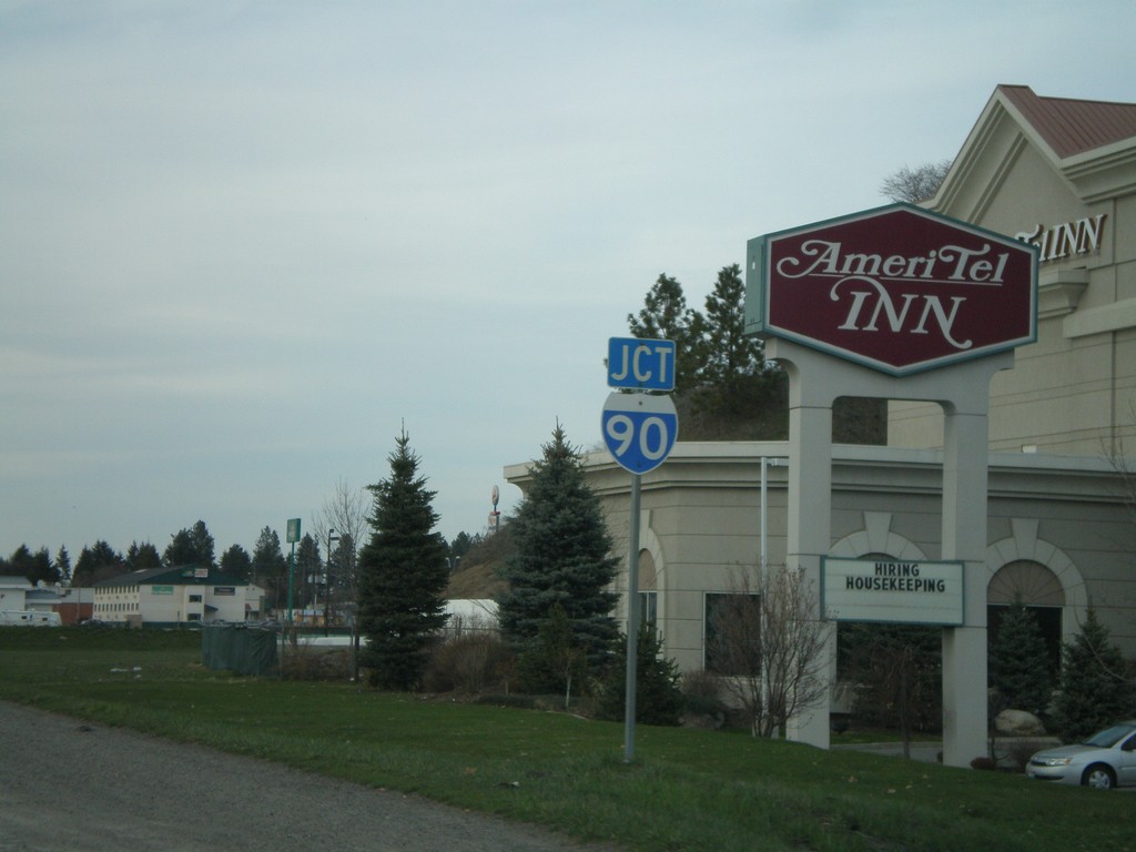
Jct. I-90 on US-95 North
US-95 north approaching I-90 jct.
Taken 04-13-2008

 Coeur d'Alene
Kootenai County
Idaho
United States
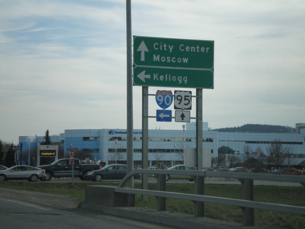
US-95 South at I-90 East
US-95 south at I-90 east to Kellogg. US-95 south continues to City Center and Moscow.
Taken 04-13-2008

 Coeur d'Alene
Kootenai County
Idaho
United States
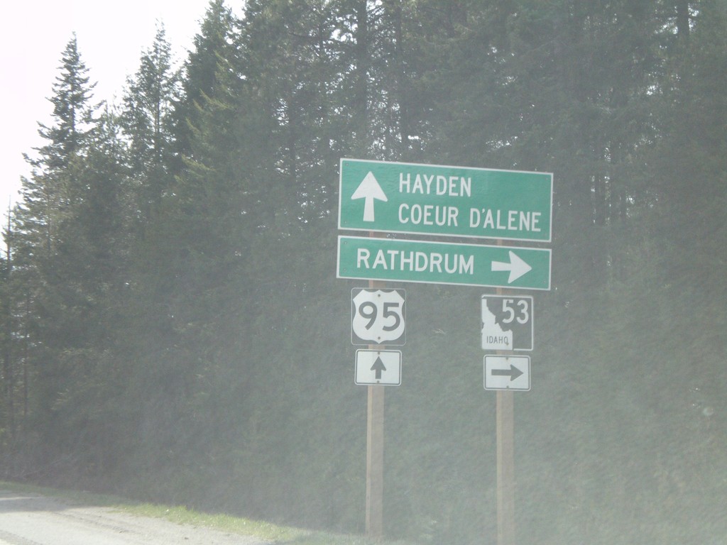
US-95 South at ID-53
US-95 south at ID-53 west to Rathdrum.
Taken 04-13-2008

 Hayden
Kootenai County
Idaho
United States
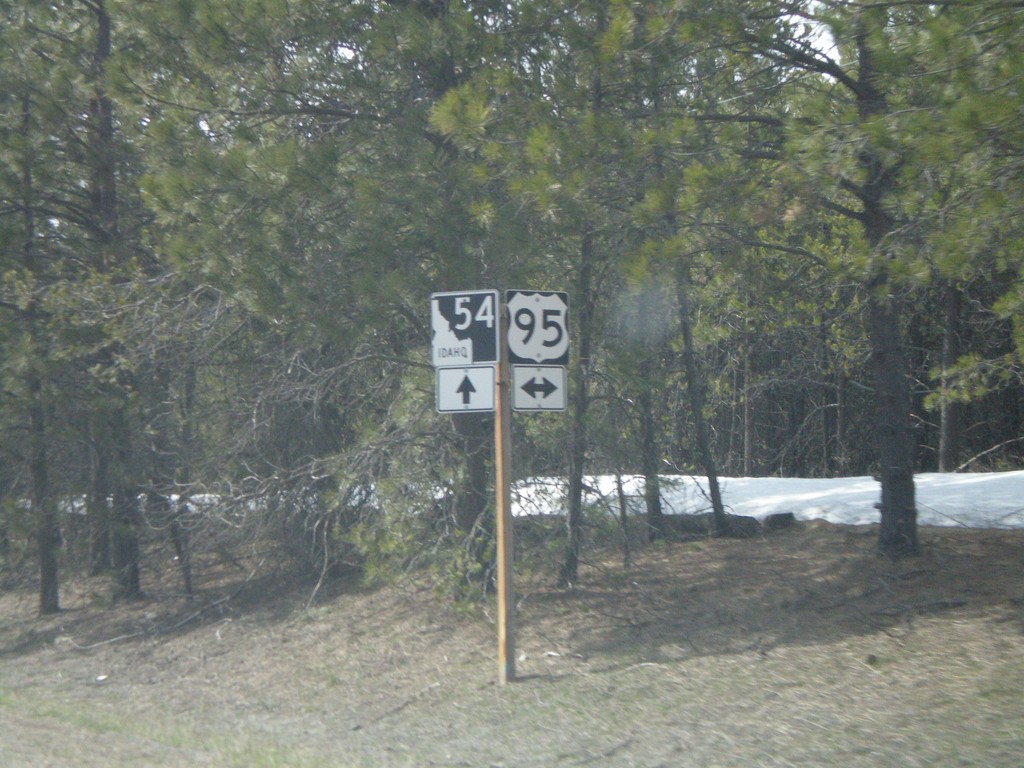
ID-54 West Approaching US-95
ID-54 west approaching US-95.
Taken 04-13-2008

 Athol
Kootenai County
Idaho
United States
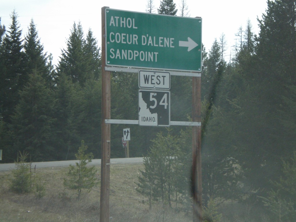
ID-54 West in Farragut State Park
ID-54 west at right turn. Turn right to continue on ID-54 towards Athol, Sandpoint, and Coeur d’Alene.
Taken 04-13-2008
 Athol
Kootenai County
Idaho
United States
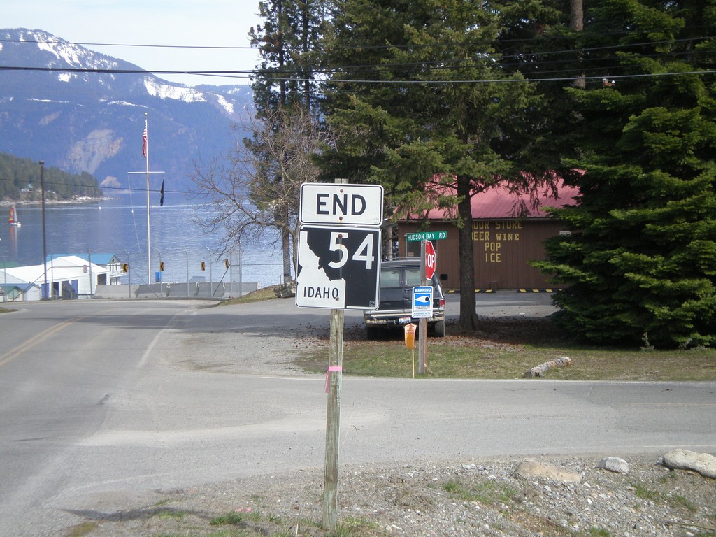
End ID-54 East
End ID-54 East in Bayview. Lake Pend Oreille is in the background.
Taken 04-13-2008
 Bayview
Kootenai County
Idaho
United States
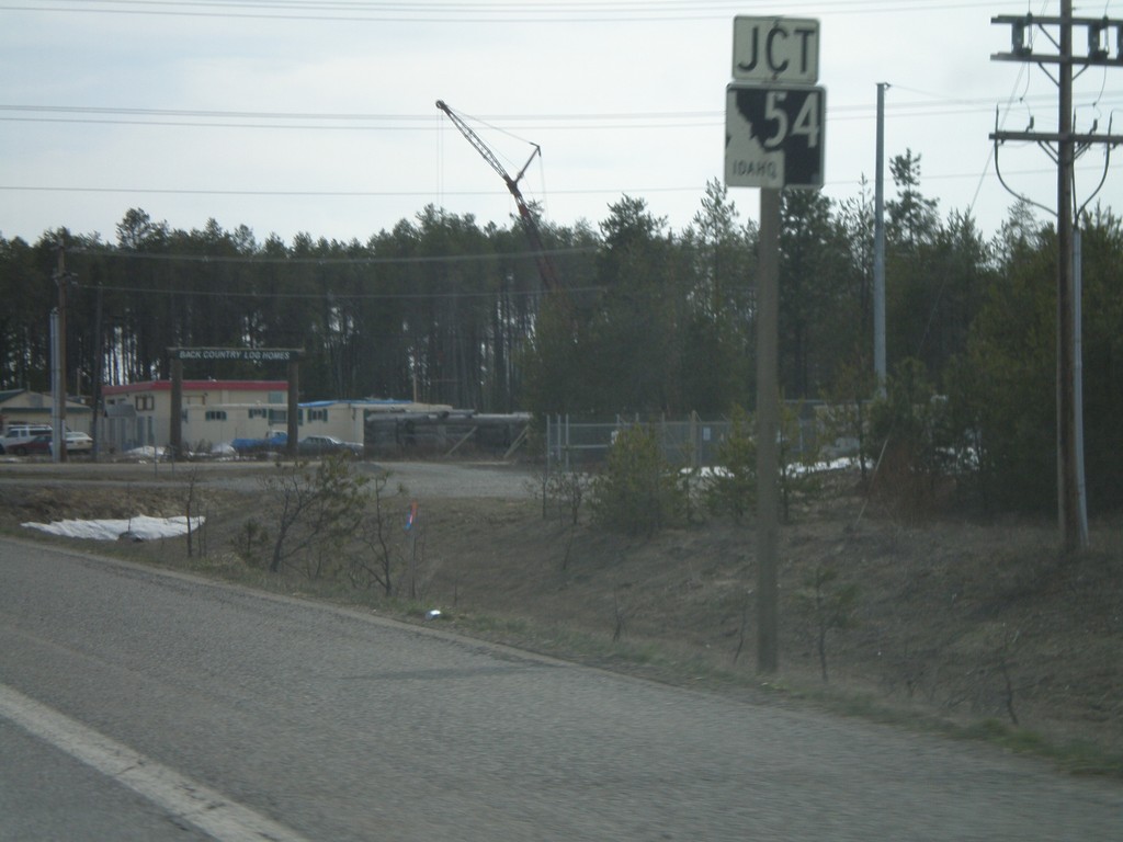
US-95 South Approaching ID-54
US-95 south approaching ID-54 jct.
Taken 04-13-2008

 Athol
Kootenai County
Idaho
United States
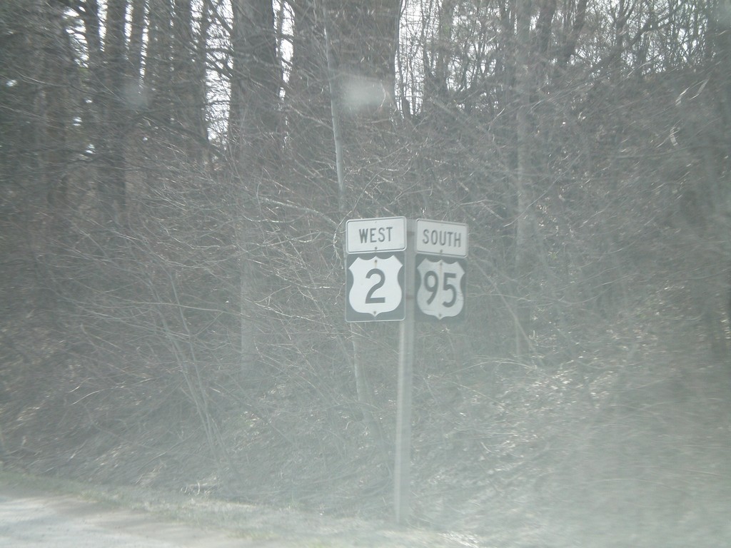
US-2 West/US-95 South - Sandpoint
US-95 South/US-2 West in Sandpoint.
Taken 04-13-2008

 Sandpoint
Bonner County
Idaho
United States
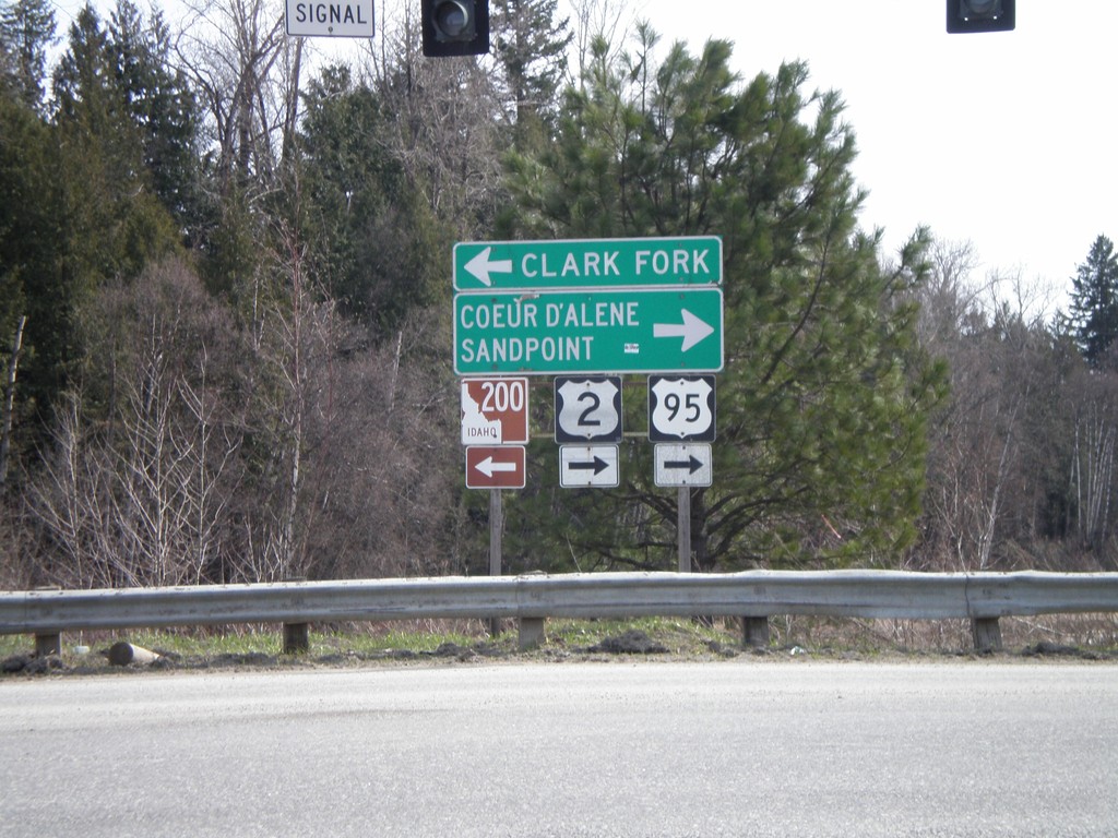
US-95 South/US-2 West at ID-200
US-95 South/US-2 West at ID-200 East to Clark Fork.
Taken 04-13-2008


 Ponderay
Bonner County
Idaho
United States
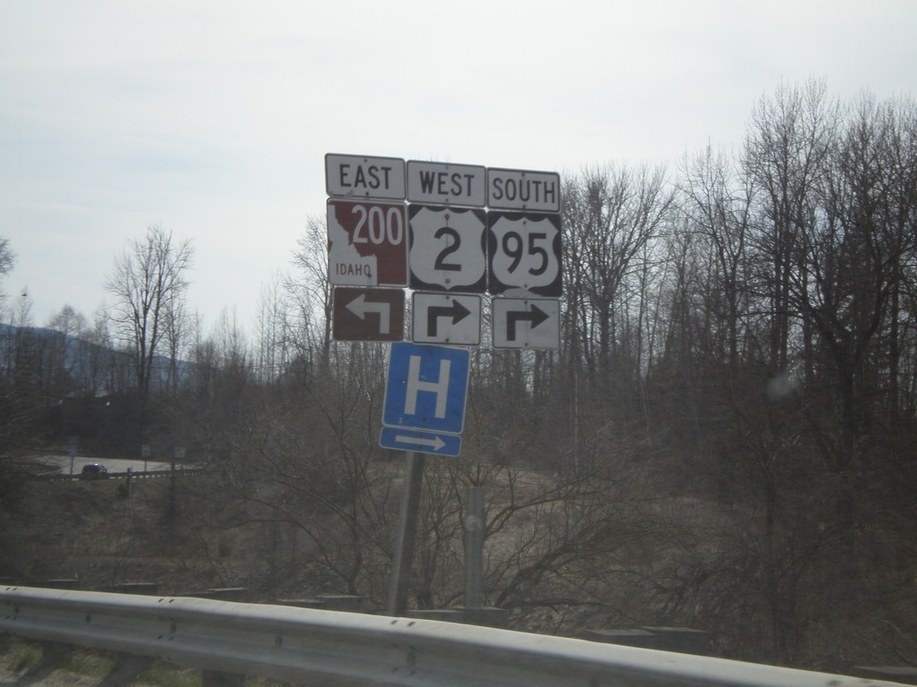
US-95 South/US-2 West Approaching ID-200
US-95 South/US-2 West approaching ID-200. US-95/US-2 traffic must turn right at the intersection.
Taken 04-13-2008


 Ponderay
Bonner County
Idaho
United States
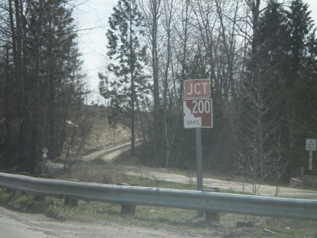
Jct. ID-200 on US-95 South/US-2 West
US-95 South/US-2 West approaching ID-200 jct.
Taken 04-13-2008


 Ponderay
Bonner County
Idaho
United States
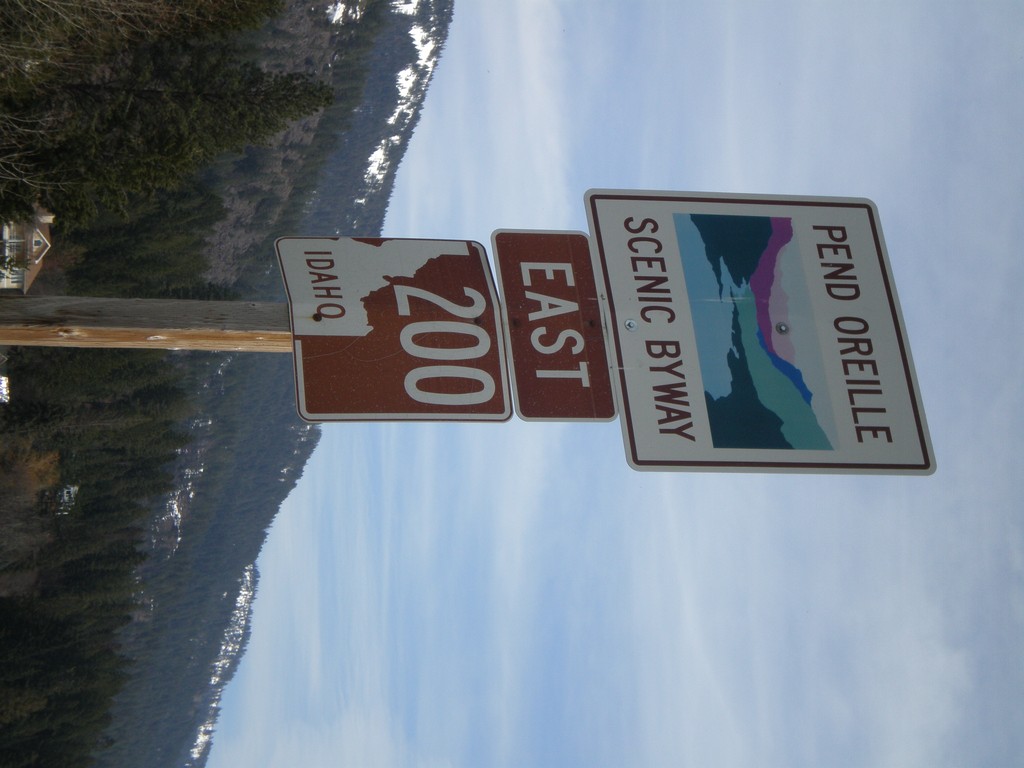
ID-200 East - Pend Oreille Scenic Byway
ID-200 East - Pend Oreille Scenic Byway
Taken 04-13-2008
 Hope
Bonner County
Idaho
United States
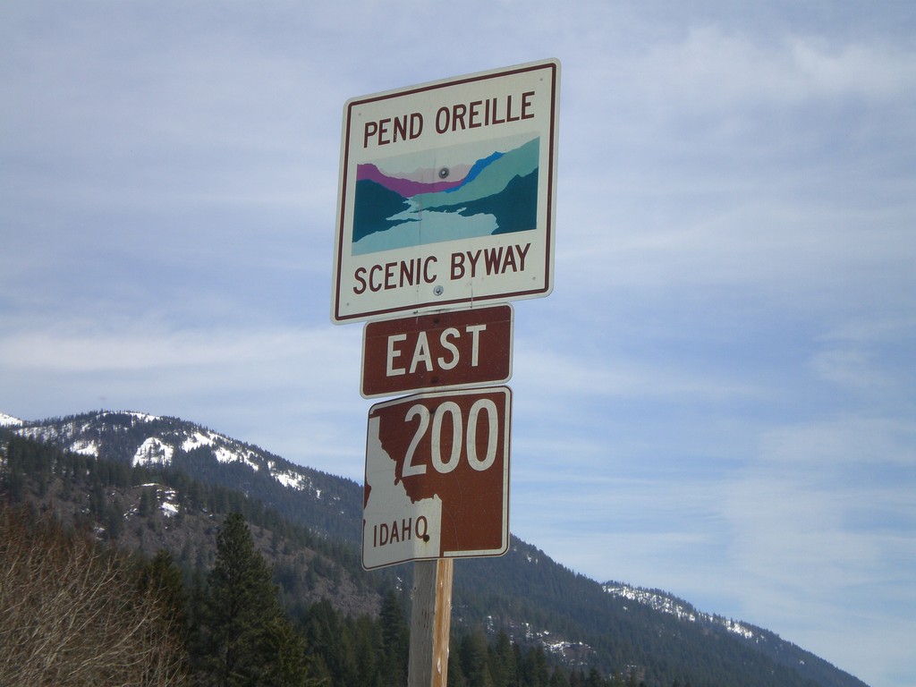
ID-200 East - Pend Oreille Scenic Byway
ID-200 East - Pend Oreille Scenic Byway
Taken 04-13-2008
 Hope
Bonner County
Idaho
United States
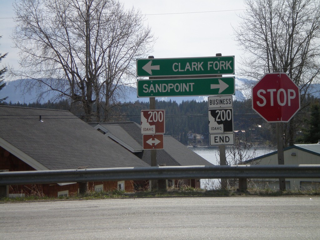
End BL-200 East at ID-200
End BL-200 east at ID-200 to Sandpoint and Clark Fork.
Taken 04-13-2008

 Hope
Bonner County
Idaho
United States
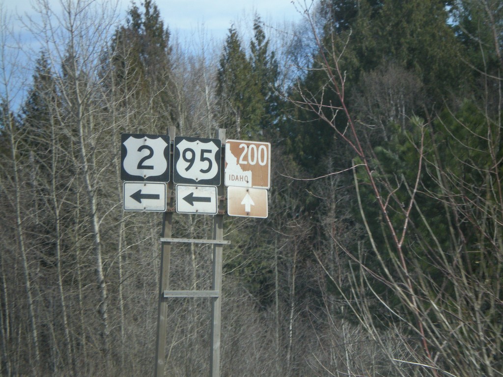
US-95 North/US-2 East at ID-200
US-95 North/US-2 East at ID-200 jct.
Taken 04-13-2008


 Ponderay
Bonner County
Idaho
United States
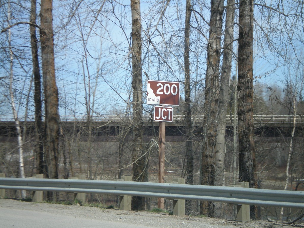
Jct. ID-200 on US-95 North/US-2 East
US-95 North/US-2 East approaching ID-200.
Taken 04-13-2008


 Sandpoint
Bonner County
Idaho
United States
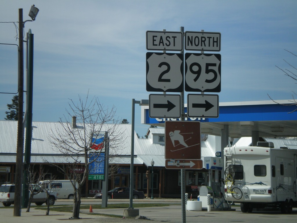
US-2 East/US-95 North (Cedar St.) at 5th Ave.
US-2 East/US-95 North turn left from Cedar St. onto 5th Ave.
Taken 04-13-2008

 Sandpoint
Bonner County
Idaho
United States
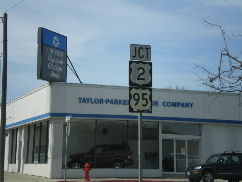
US-2 East/US-95 North Approaching US-2/US-95
US-95 North/US-2 East approaching US-95 South/US-2 West in Sandpoint. US-95 and US-2 through downtown Sandpoint are one way streets.
Taken 04-13-2008

 Sandpoint
Bonner County
Idaho
United States
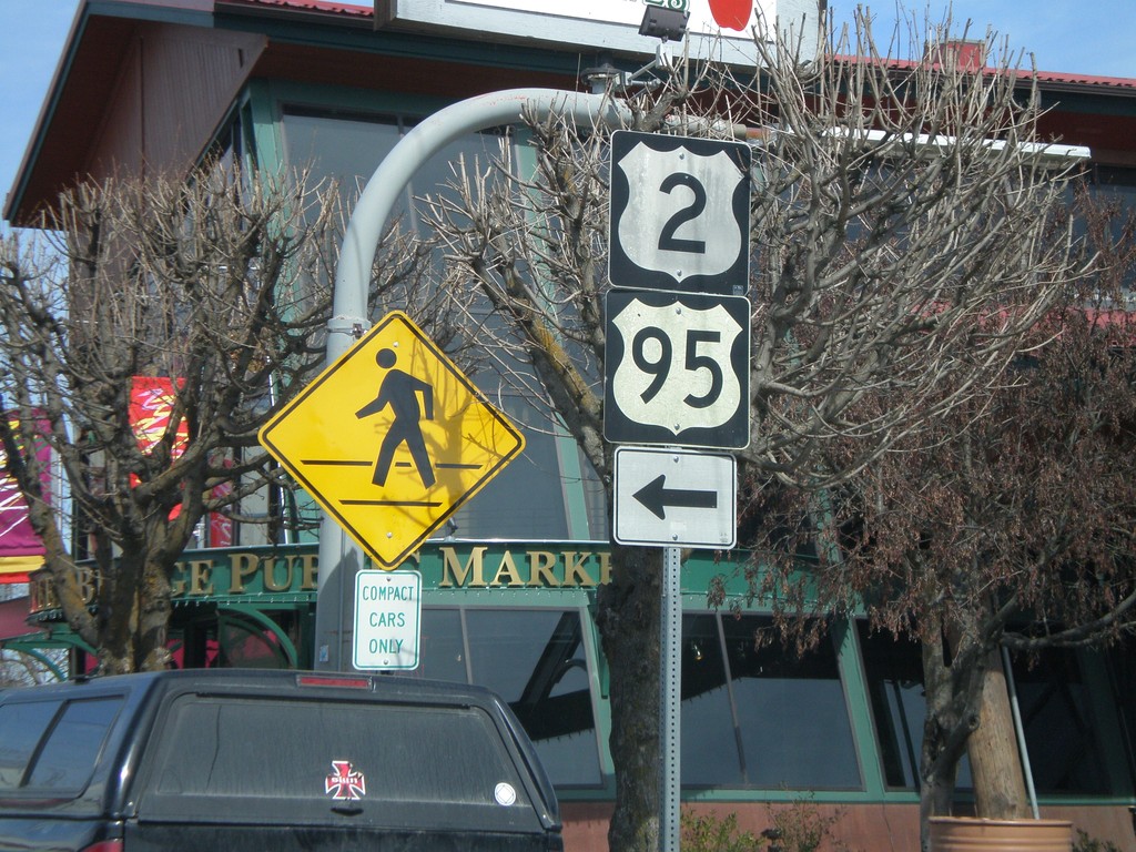
US-2 East/US-95 North - Sandpoint
US-95 North/US-2 East on 1st Ave. north turning left onto Cedar St.
Taken 04-13-2008

 Sandpoint
Bonner County
Idaho
United States